The best MTB trails around Heinrichsthaler Forst
4.7
(4023)
12,208
riders
624
rides
Mountain biking around Heinrichsthaler Forst offers a diverse landscape within the Spessart Nature Park, characterized by extensive forests and a network of trails. The region provides varied terrain suitable for different skill levels, from gentle paths to more challenging singletrack. This area is known for its natural forested environment, making it a destination for outdoor activities. The elevation changes across the routes contribute to a dynamic mountain biking experience.
Best mountain bike trails around Heinrichsthaler Forst
- The most popular mountain…
Last updated: July 1, 2026
4.8
(35)
133
riders
42.7km
03:48
850m
850m
Moderate mountain bike ride. Good fitness required. Advanced riding skills necessary.
4.7
(60)
153
riders
36.8km
02:57
400m
400m
Moderate mountain bike ride. Good fitness required. Advanced riding skills necessary.

Sign up for free
5.0
(24)
135
riders
Moderate mountain bike ride. Good fitness required. Advanced riding skills necessary.
4.8
(24)
68
riders
Hard mountain bike ride. Good fitness required. Advanced riding skills necessary. Some portions of the route may require you to push your bike.
4.8
(29)
72
riders
38.0km
02:45
380m
380m
Moderate mountain bike ride. Good fitness required. Suitable for all skill levels.
Get access to more routes and recommendations from other explorers.
Sign up for free
Already have an account?
Our route recommendations are based on thousands of hikes, rides, and runs completed by other people on komoot.
Start today with a free account
Your next adventure awaits.
Login or Signup
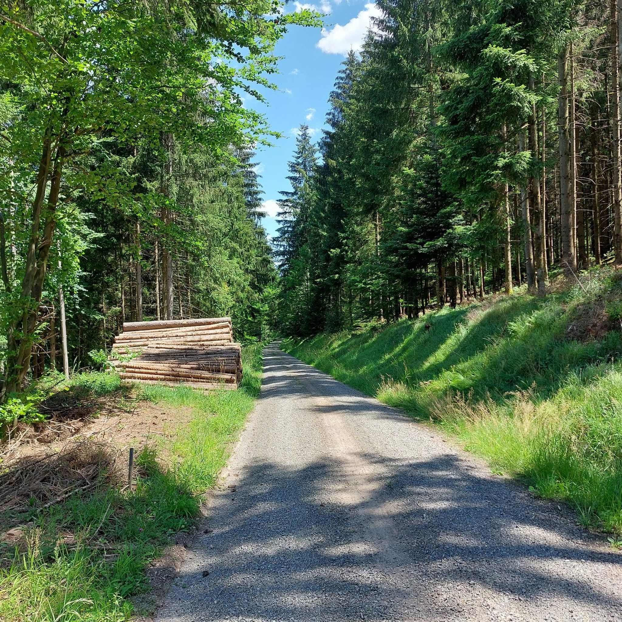
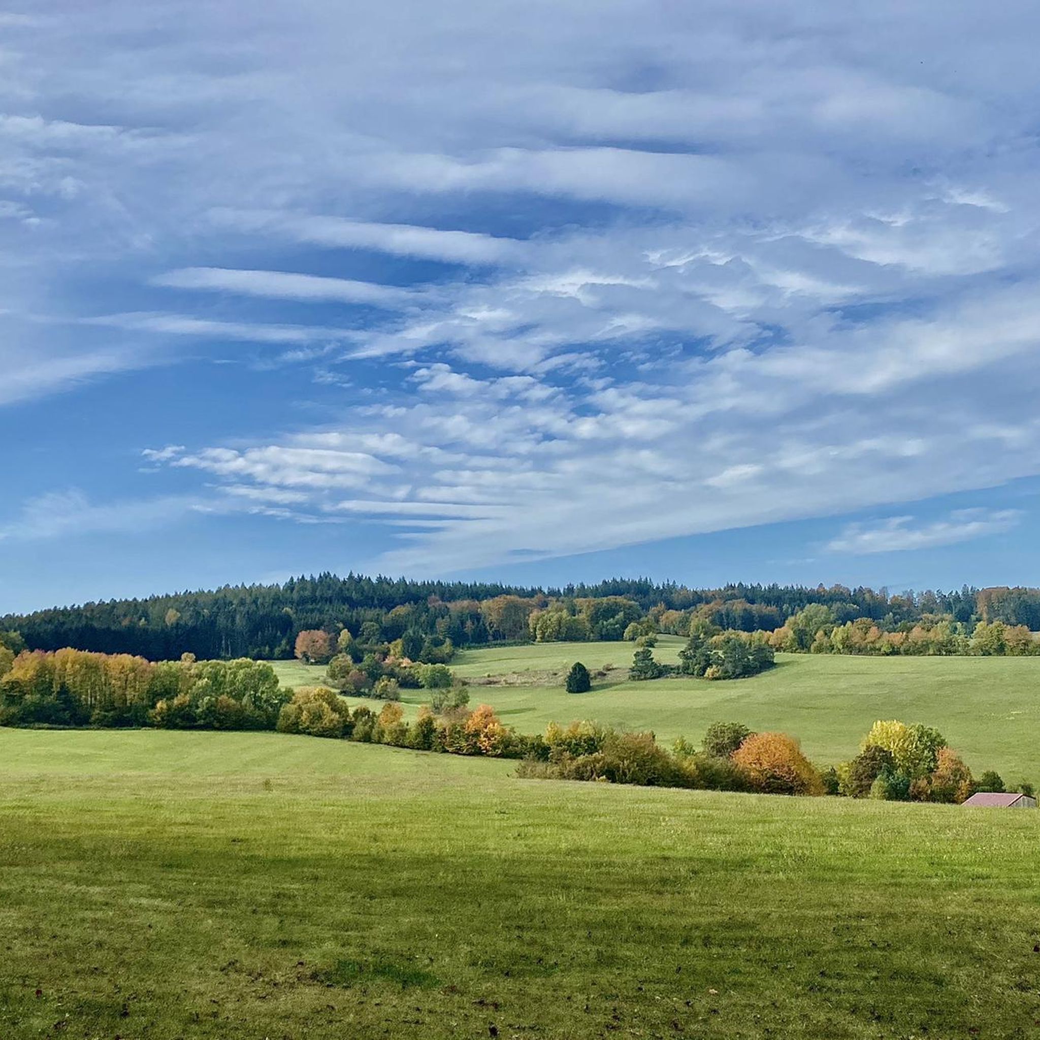
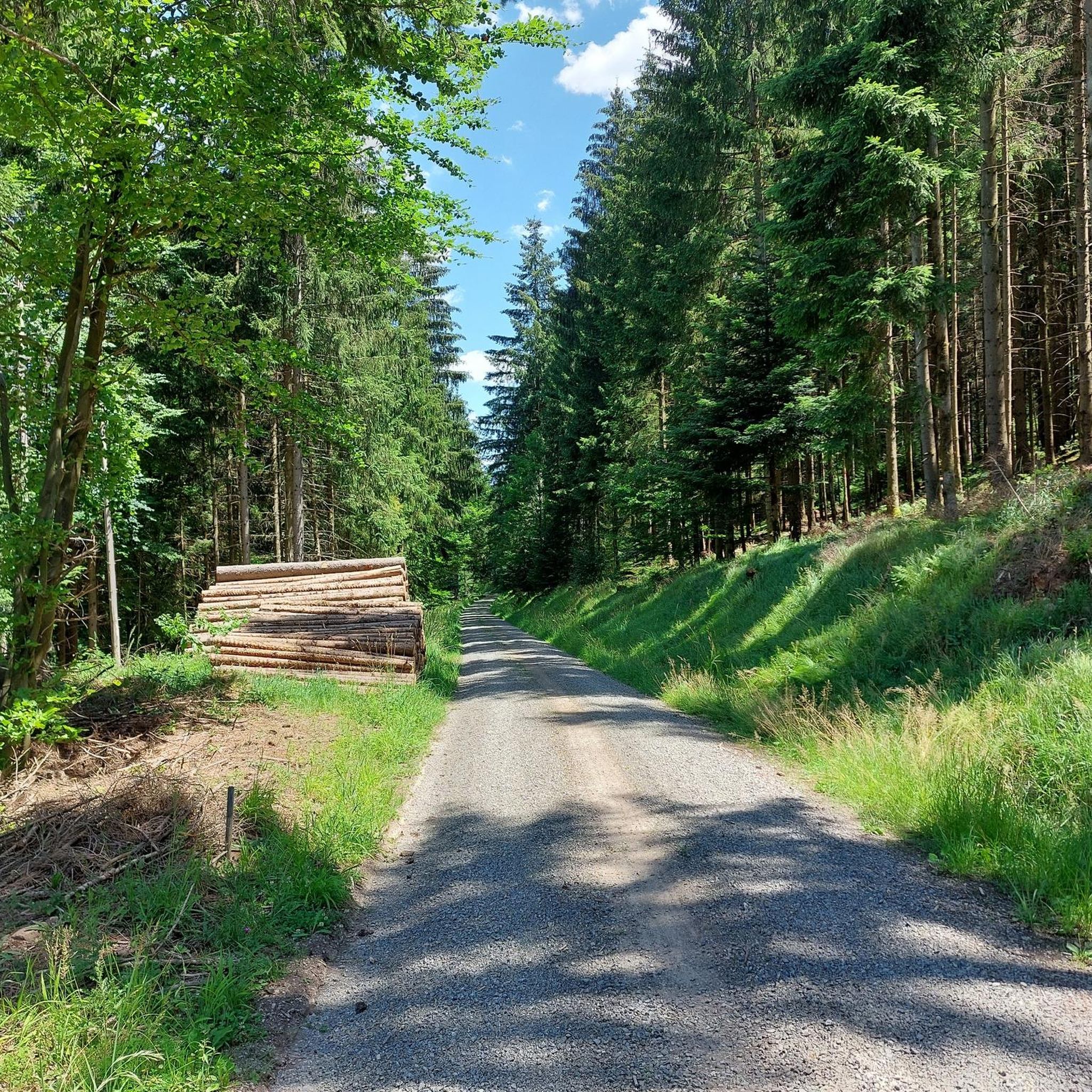
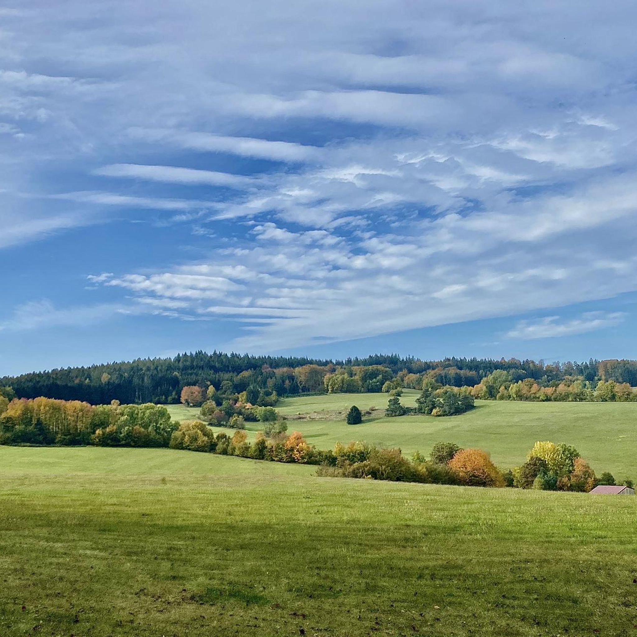
Tips from the Community

Large wetland, where water buffalo will soon be grazing.
0
0

Attention, the trails are closed from November 1st to April 1st and cannot really be bypassed.
0
0

The History Systematic meadow irrigation to increase hay and forage yields has been documented in the Spessart since 1453 and was still widespread in the stream valleys until the mid-20th century. The first mention of dam irrigation on the Wöhrde can be found in a document from 1663. Source: Information board at the site
1
0
The Hafenlohr is a 26.5 km long (27.7 km including the Tiergartenbach) right tributary of the Main River in the districts of Aschaffenburg and Main-Spessart in the Bavarian Spessart region. The Hafenlohr rises from two springs in the municipality of Rothenbuch. The longer and occasionally more water-rich branch is the Tiergartenbach, which often dries up on dry days. Officially, it is considered the upper course of the Hafenlohr main watercourse. The source, known as the Hafenlohr Spring, in the center of the village provides water almost year-round. The Hafenlohr Spring is located at Rothenbuch Castle. It was encased in sandstone during the road widening of the St 2317. Its water flows northwest through the castle moat and, after about 100 meters, flows from the left bank into the bed of the Tiergartenbach, which flows from the Tiergartengrund on the northern edge of the village and is already 1.3 km[7] long. It doesn't provide water year-round, but at times it provides more than the perennial spring at the castle. The spring at the castle was probably once a meeting place for hunters in the eastern Spessart, which is why construction of a hunting lodge began here in 1342. The spring water fed the castle moat and several surrounding trout lakes, which no longer exist. Source and further information: https://de.wikipedia.org/wiki/Hafenlohr_(Fluss)
1
0

bad road, cool bridge
0
0

Sometimes there is a tree 🌳 in the way.
1
0
Lake Wiesbütt (formerly Lake Hanauer See) is a forest lake in the Main-Kinzig district of Hesse, in the Spessart region. Lake Wiesbütt is located in the municipality of Flörsbach in the municipality of Flörsbachtal, directly on the state border with Bavaria. The Bavarian/Hessian border runs along the western shore, at the foot of the dam. To the west lies the unincorporated area of Wiesener Forst in the Bavarian district of Aschaffenburg. To the north lies the Spessart High Road (L 2905) and the two old trade routes: Birkenhainer Straße and Eselsweg. To the southwest lies the village of Wiesen in Lower Franconia, to the southeast Mosborn, a district of the municipality of Flörsbachtal, and to the north Bieber, a district of the municipality of Biebergemünd. The artificial lake, created for energy generation and ventilation of the Bieber mines, is now located on the edge of the Wiesbüttmoor nature reserve. The lake has no surface inlet; it is fed underground from the Wiesbüttmoor. A natural overflow drains the water into the Aubachtal valley via the Wiesbüttgraben. The Wiesbüttsee, with its diverse flora, some of which is already threatened with extinction, is part of one of the last raised bogs in Germany. It was created in 1765 by Bieber miners according to plans by mining master Johann Philipp Cancrinus to ventilate and drain the Lochborntalgrund silver, copper, and lead mine tunnels in the summer. It was also intended to provide sufficient water for the Bieber ironworks and the hammer mill. Due to the exceptional ore deposits in the area around Bieber, extensive mining was carried out during this period. The Wiesbüttsee served as a water source for the hydropowered mining machines used to drain and ventilate the tunnels. The water power powered the conveyor system of the ironworks in the Lochhütte until 1925. The former customs house (later a restaurant) commemorates the Bavarian border that was once controlled here. Source: https://de.wikipedia.org/wiki/Wiesbüttsee
3
0

Frequently Asked Questions
How many mountain bike trails are available in Heinrichsthaler Forst?
Heinrichsthaler Forst offers a wide selection of mountain bike trails, with over 650 routes available on komoot. These range from easy paths to more challenging singletracks, catering to various skill levels.
What is the general difficulty level of mountain bike trails in Heinrichsthaler Forst?
The trails in Heinrichsthaler Forst offer a diverse range of difficulties. You'll find nearly 100 easy routes, over 470 moderate trails, and close to 80 difficult options, ensuring there's something for every rider, from beginners to experienced mountain bikers.
Are there family-friendly mountain bike trails in Heinrichsthaler Forst?
Yes, Heinrichsthaler Forst has family-friendly singletrack trails with an easy physical rating. The region's extensive network includes nearly 100 easy routes, making it suitable for families looking for a less strenuous ride through the beautiful forest.
What kind of terrain can I expect on the mountain bike trails?
The terrain in Heinrichsthaler Forst is characterized by its diverse forested landscape within the Spessart Nature Park. You can expect a mix of extensive forest paths, varied singletrack, and elevation changes that contribute to a dynamic mountain biking experience.
Are there any circular mountain bike routes in the area?
Yes, many routes in Heinrichsthaler Forst are designed as loops. For example, the Lohr River in the Wöhrde – View of Neustadt am Main loop from Wiesthal is a challenging 60.5 km circular trail, and the Wiesbüttsee – Aubach Lakes loop from Wiesthal offers a moderate 37.9 km ride.
What natural features or landmarks can I see while mountain biking?
While mountain biking, you can encounter several natural features and points of interest. The region is known for its beautiful forests and lakes like Wiesbüttsee. You might also pass by significant peaks such as Klosterkuppel (552 m) or Hermannskoppe Summit (567 m).
Are there any historical sites or interesting trails to explore?
Yes, you can explore historical routes like the Eselsweg, which is part of the Forest Inn "Zum Engländer" – Eselsweg Trail loop from Sailaufer Forst. Additionally, you might discover the Ringwork on the Reuschberg, an ancient historical site.
What do other mountain bikers say about the trails in Heinrichsthaler Forst?
The mountain bike trails in Heinrichsthaler Forst are highly regarded by the komoot community, with an average rating of 4.7 stars from over 3,900 reviews. Over 12,000 mountain bikers have explored the varied terrain, often praising the diverse landscapes and beautiful forests.
Are there any places to eat or rest along the trails?
Yes, you can find places to rest and eat. For instance, the Forest Inn "Zum Engländer" is a notable spot, and there's also the Bavarian Schanz Inn. The Dr. Karl Kihn-Platz Rest Area also provides a convenient stop.
What is the best time of year for mountain biking in Heinrichsthaler Forst?
The Spessart Nature Park, including Heinrichsthaler Forst, is generally appealing for outdoor activities due to its extensive forests. While specific seasonal conditions aren't detailed, the region's natural environment makes it suitable for mountain biking through much of the year, with spring and autumn often offering pleasant temperatures and vibrant scenery.
Are there any specific trails recommended for advanced riders?
For experienced riders seeking a challenge, Heinrichsthaler Forst offers nearly 80 difficult trails. An example is the Lohr River in the Wöhrde – View of Neustadt am Main loop from Wiesthal, which is a demanding 60.5 km route with significant elevation changes.
Can I observe wildlife while mountain biking in Heinrichsthaler Forst?
The Heinrichsthaler Forst is part of the Spessart Nature Park, known for its natural forested environment. While specific wildlife sightings are not guaranteed, the Wildgehege Heigenbrücken, a wildlife enclosure, is a nearby attraction where you can observe local fauna, offering a chance to connect with nature.
Most popular routes around Heinrichsthaler Forst
Most popular attractions around Heinrichsthaler Forst

Get inspired with the komoot mobile app


Explore more
Browse the best MTB trails in other regions.
