The best MTB trails in Santo Tomás
4.7
(48)
842
riders
52
rides
Mountain bike trails in Santo Tomás are characterized by varied terrain, including gravel tracks and roads, with significant elevation changes. The region features mountainous landscapes and river canyons, providing diverse challenges for mountain bikers. These physical features contribute to routes that range from moderate to difficult, often involving sustained climbs and descents. The area's geography supports a network of trails suitable for exploring its natural environment.
Best mountain bike trails in Santo Tomás
- The most popular mountain bike trail is…
Last updated: July 15, 2026
5.0
(2)
31
riders
68.7km
04:37
1,210m
1,210m
Hard mountain bike ride. Very good fitness required. Suitable for all skill levels.
5.0
(3)
23
riders
20.1km
01:25
410m
410m
Moderate mountain bike ride. Good fitness required. Suitable for all skill levels.

Sign up for free
5.0
(3)
20
riders
43.5km
02:54
710m
710m
Moderate mountain bike ride. Good fitness required. Suitable for all skill levels.
11
riders
78.8km
05:45
1,610m
1,610m
Hard mountain bike ride. Very good fitness required. Suitable for all skill levels.
5.0
(1)
12
riders
81.2km
05:54
1,730m
1,730m
Hard mountain bike ride. Very good fitness required. Suitable for all skill levels.
Get access to more routes and recommendations from other explorers.
Sign up for free
Already have an account?
Our route recommendations are based on thousands of hikes, rides, and runs completed by other people on komoot.
Start today with a free account
Your next adventure awaits.
Login or Signup
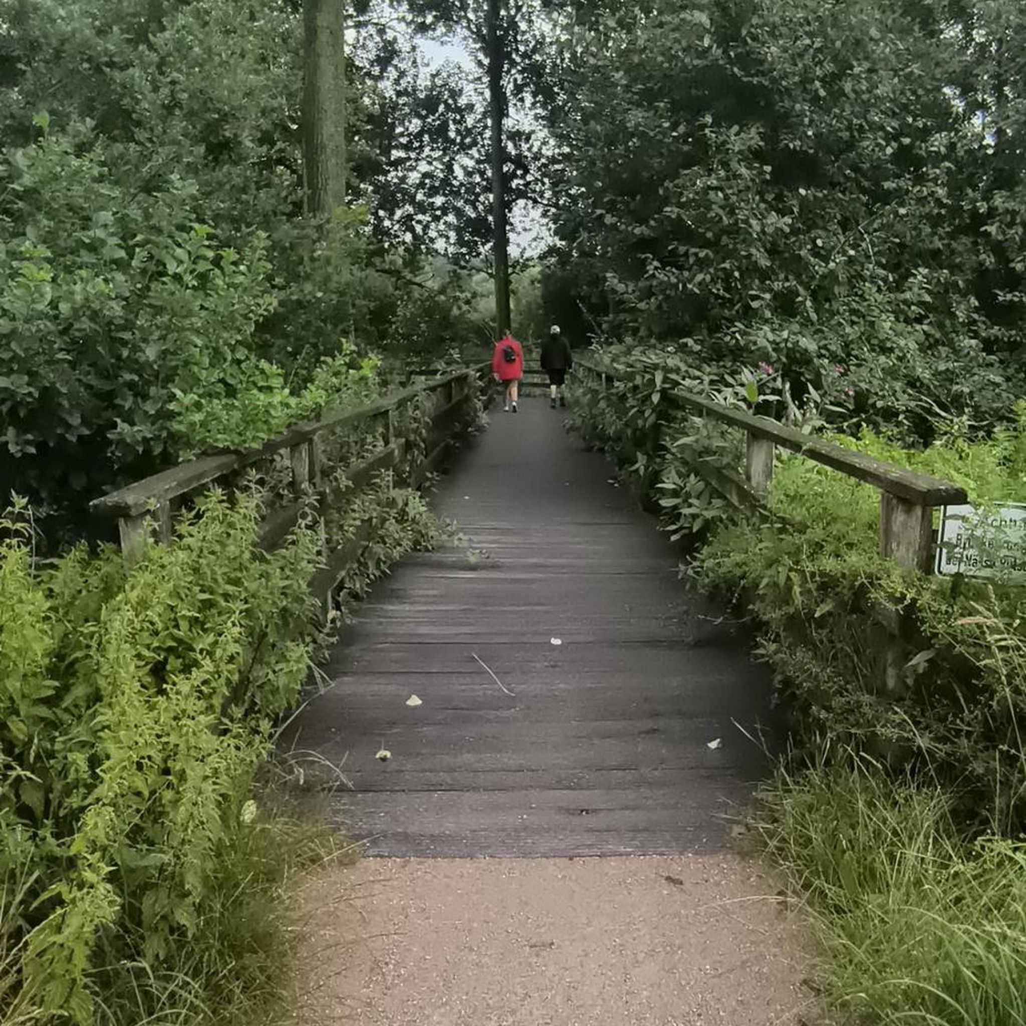


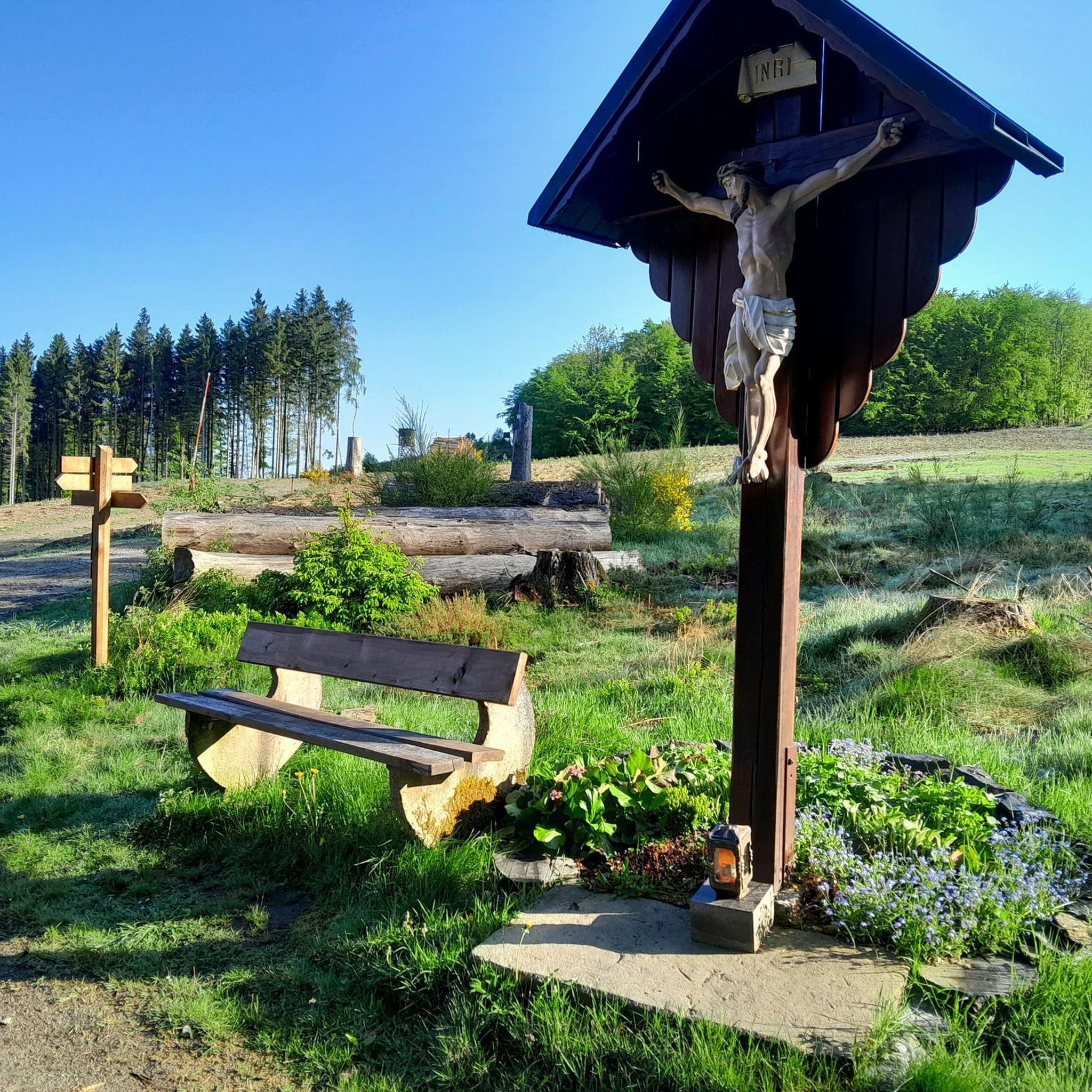
Tips from the Community

Good resting point after the climb from the center of San Isidro de Heredia towards Charquillo Street
0
0

At the beginning of Charquillo Street, here you can eat and drink something.
0
0

Excellent for walking large dogs and for eBiking
0
0

Contrary to the map information, the path is blocked by a locked gate because there is obviously private property behind it.
0
0
Contrary to the map information, the path is blocked by a locked gate because there is obviously private property behind it.
0
0

A perfect place for walking, cycling, or going with the family next to a beautiful lake and viewpoint on Lake Victoria. The place is private, however, you can check in the area for the possibility of going for a family picnic. The route is optimal for all types of vehicles. It is windy, and the weather is cold, it tends to rain after 2pm or get cloudy, highly recommended. See the ride on Youtube Bikers Costa Rica, as MTB Ride Lago Victoria (Several groups one ride)
0
0

Frequently Asked Questions
How many mountain bike trails are available in Santo Tomás?
There are over 50 mountain bike trails documented in Santo Tomás on komoot, offering a wide range of options for different skill levels. These routes are characterized by varied terrain, including gravel tracks and roads, with significant elevation changes.
Are there mountain bike trails suitable for beginners or families in Santo Tomás?
Yes, Santo Tomás offers a few routes suitable for beginners or families looking for a less strenuous ride. For example, the Tierra Blanca Street – Gravel Road loop from Heredia is a moderate 20.5 km path that follows gravel roads, making it a good option for those seeking a more relaxed experience.
What kind of terrain can I expect on mountain bike trails in Santo Tomás?
Mountain bike trails in Santo Tomás feature diverse terrain, primarily consisting of gravel tracks and roads. You'll encounter mountainous landscapes and river canyons, leading to routes with sustained climbs and descents. The region's geography provides a mix of challenges, from moderate paths to difficult routes with significant elevation gains.
Are there any challenging mountain bike routes for experienced riders?
Absolutely. Santo Tomás is well-suited for experienced mountain bikers seeking a challenge. Routes like the Virilla River Canyon – Japis River loop from Miraflores, spanning 78.8 km with over 1600 meters of elevation gain, offer a demanding ride. Another difficult option is the Mirador Los Cartagos – Monument to the Pact of Jocote loop from Heredia, which covers over 81 km and features significant climbing.
What do other mountain bikers say about the trails in Santo Tomás?
The mountain bike trails in Santo Tomás are highly regarded by the komoot community, holding an average rating of 4.7 stars from over 50 reviews. Many riders praise the varied terrain and the challenging nature of the routes, often highlighting the rewarding views and the sense of accomplishment after tackling the significant elevation changes.
Are there any loop trails available for mountain biking?
Yes, many of the mountain bike trails in Santo Tomás are designed as loops, allowing you to start and finish at the same point. Examples include the Monument to the Pact of Jocote – Cafetal Gravel Track loop from Heredia and the SJ Sign, Santa Bárbara loop from Heredia, providing convenient circular routes for exploration.
What is the best season for mountain biking in Santo Tomás?
While specific seasonal recommendations for Santo Tomás are not detailed, the Dominican Republic's mountainous regions generally offer good conditions for mountain biking outside of the peak rainy season. It's advisable to check local weather forecasts for the specific time of your visit, as heavy rains can impact trail conditions, especially on unpaved sections.
Are there any interesting landmarks or attractions near the mountain bike trails?
Yes, the region around Santo Tomás offers several points of interest that you might consider visiting. Notable attractions include the National Theatre of Costa Rica, the Monte de la Cruz Climb, and the bustling Central Market of San José. These can be explored before or after your ride, particularly if your route starts or ends near Heredia or San José.
What are the typical distances and durations for mountain bike routes in Santo Tomás?
The routes in Santo Tomás vary significantly in length and duration. You can find shorter, moderate rides around 20 km, taking approximately 1.5 to 2 hours. For more challenging adventures, routes can extend up to 80 km or more, requiring 5 to 6 hours or even longer to complete, especially with substantial elevation gains.
Are there opportunities for other outdoor activities in the Santo Tomás region?
Beyond mountain biking, the broader region, particularly in the Dominican Republic, is rich in outdoor activities. You can find opportunities for whitewater rafting, canyoning, and lake fishing in inland rivers. Hiking is also popular, with trails leading to Pico Duarte, the Caribbean's highest peak, and numerous options in national parks like Los Haitises and Sierra Bahoruco, offering diverse flora and fauna.
Where can I find parking for mountain biking trailheads in Santo Tomás?
While specific parking locations for each trailhead are not detailed, many routes in Santo Tomás, particularly those starting from larger towns like Heredia or Miraflores, will likely have public parking options available nearby. It's recommended to check the individual route details on komoot for more precise starting points and potential parking information.
Most popular attractions in Santo Tomás

Get inspired with the komoot mobile app


Explore more
Browse the best MTB trails in other regions.
