The best walks and hikes in Quiroga
4.6
(136)
839
hikers
11
hikes
Hiking in Quiroga is characterized by diverse natural landscapes within the Montañas do Courel Geopark, part of the broader Ribeira Sacra region of Galicia, Spain. The area features expansive mountain ranges like Serra do Courel, deep river valleys such as the Quiroga and Sil, and dense forests of chestnut, oak, and ash. Hikers can explore areas with significant geological formations, including globally recognized recumbent folds, glacial lakes, and numerous waterfalls. The terrain presents a mix of gentle paths and challenging…
Last updated: October 28, 2026
4.9
(117)
674
hikers
Moderate hike. Good fitness required. Easily walkable paths.
5.0
(2)
64
hikers
Moderate hike. Good fitness required. Easily walkable paths.

4.0
(4)
35
hikers
6.82km
01:57
140m
140m
Easy hike. Easily walkable paths.
3.8
(4)
12
hikers
9.67km
02:56
310m
310m
Moderate hike. Good fitness required. Easily walkable paths.
4.7
(3)
16
hikers
12.4km
03:39
330m
330m
Moderate hike. Good fitness required. Easily walkable paths.
Get access to more routes and recommendations from other explorers.
Already have an account?
Our route recommendations are based on thousands of hikes, rides, and runs completed by other people on komoot.
Start today with a free account
Your next adventure awaits.
Tips from the Community

Being in this place and having the feeling of turning around and knowing everything you walked, is beautiful. A different view of everything and the most refreshing and delicious breeze there is.
0
0

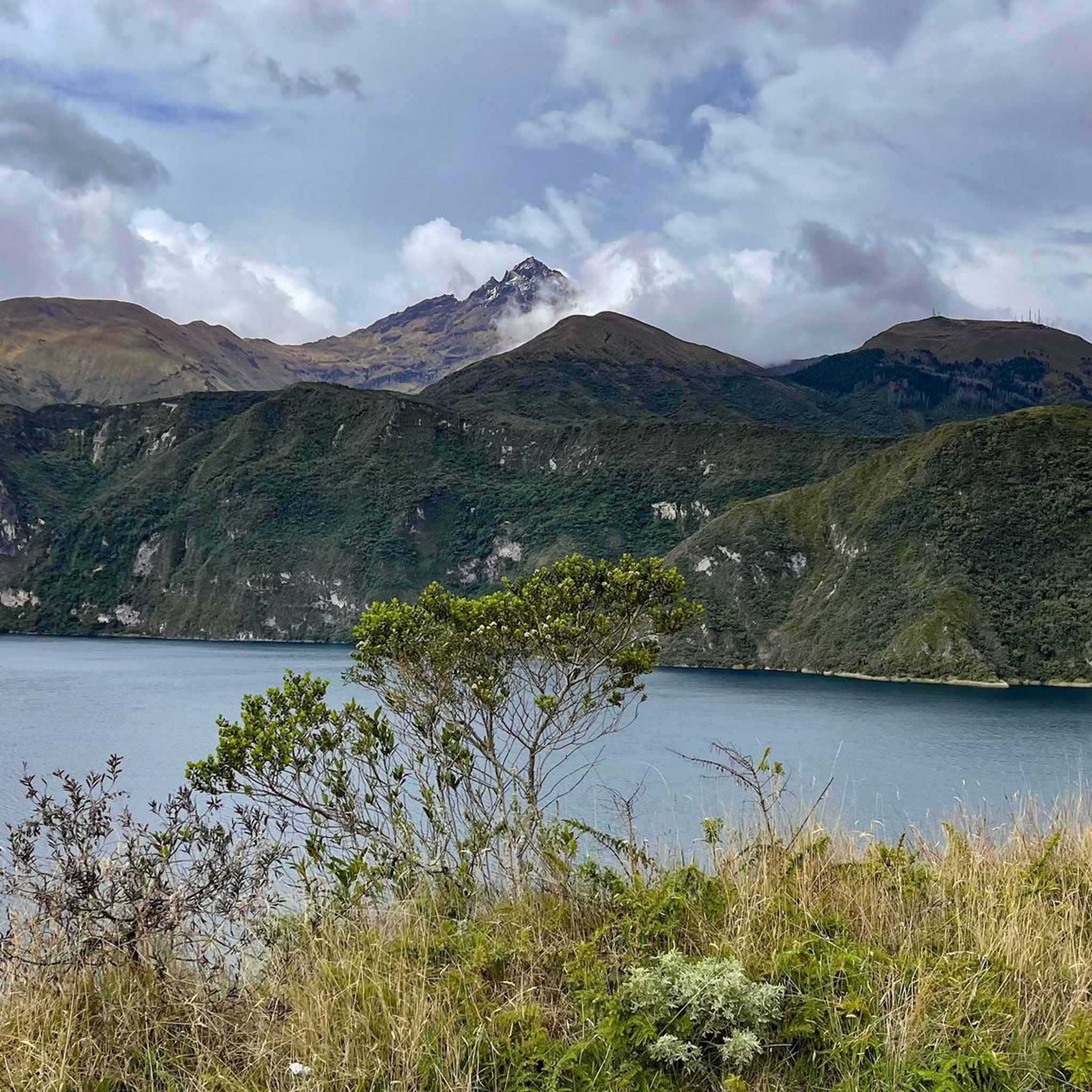
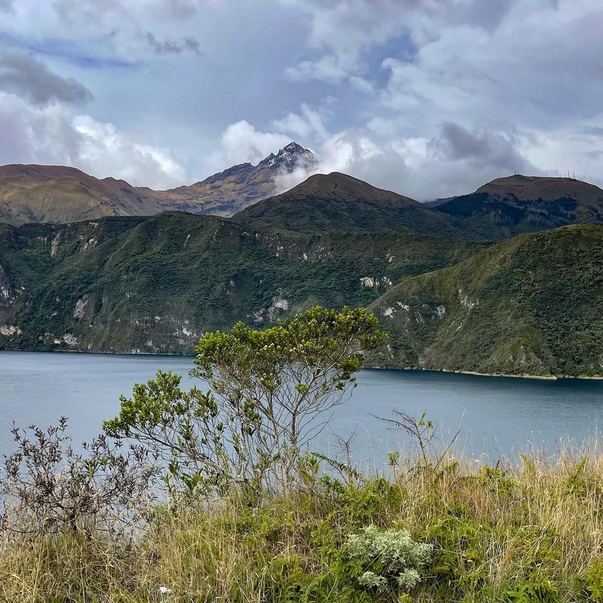
On this section of the hiking trail that runs all the way around Laguna Cuicocha, after climbing numerous steps and through lush Andean flora, you reach a ridge path with fantastic views of the lagoon and the Otavalo plain
0
0

Look for a sacred place with beautifully landscaped hiking trails. At the top you can crawl through narrow caves and discover other smaller waterfalls. Entrance fees are required.
2
0
Behind the figures at the parking lot there is a sales area of the local indigenous people, where you can also have a drink.
2
0
These are new sculptures that probably belong to the local soccer field and playground across the street. A bench invites you to rest.
2
0
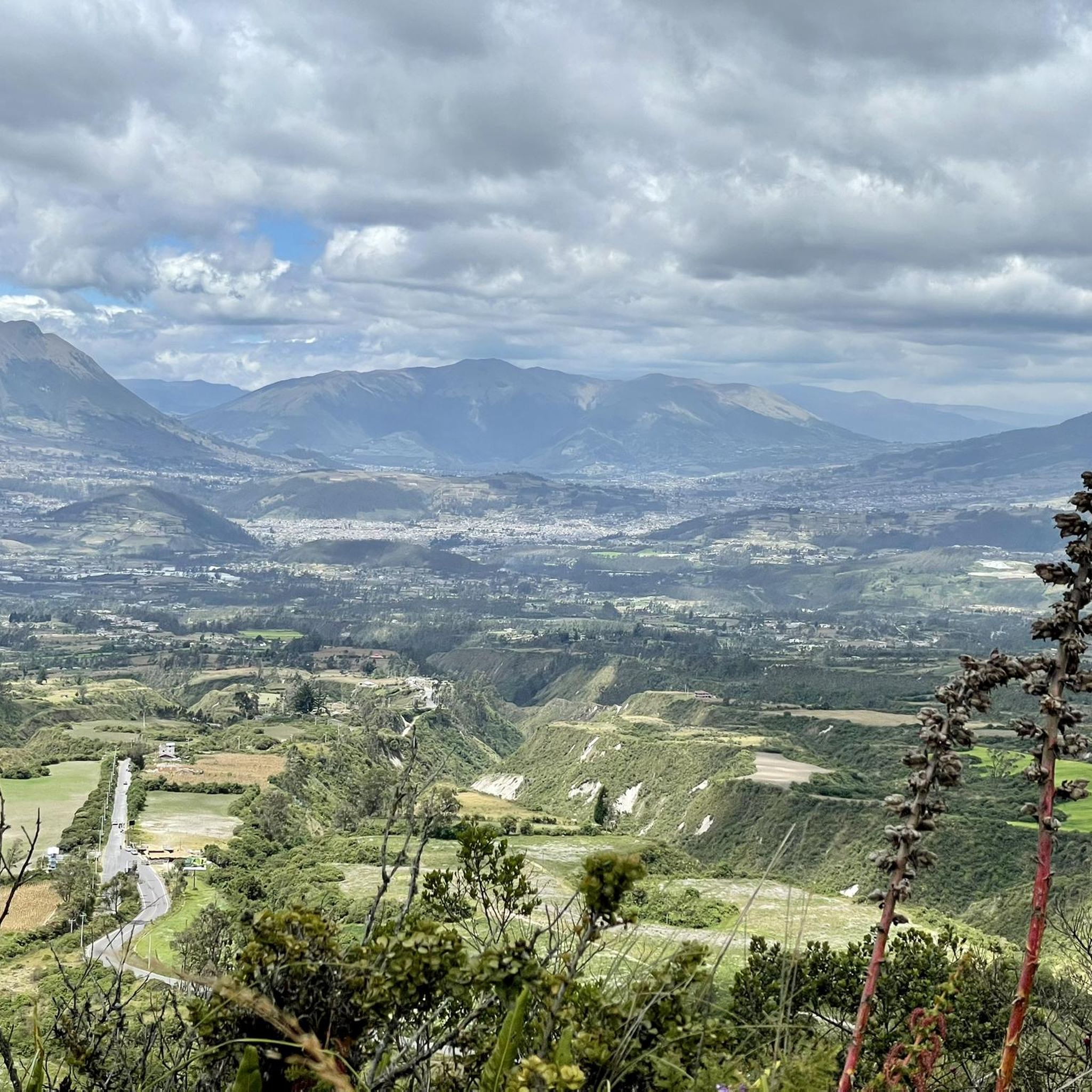
El Lechero is a viewpoint whose tree at the top of the hill is considered sacred. Although unknown to many people, this tranquil spot offers beautiful views of the surrounding area. Located in Otavalo, Ecuador near Condor Park. El Lechero, Otavalo's sacred tree, is part of local mythology and is believed to house the soul of a cursed lover who fell in love with a boy from a rival family. And then it was transformed into nearby Lake San Pablo. From the El Lechero viewpoint you can see Lake San Pablo, the Fuya Fuya Mountains, the Cotacachi Volcanoes, Imbabura and a great view of the city of Otavalo. The place where the tree stands is considered a sacred place with healing powers by local people. There are indigenous Otavaleños who perform many purification rituals and spiritual ceremonies. El Lechero is a place open to the public, where you can not only take beautiful photos, but also have picnics. To get there, you'll have to walk a steep 5km or so from Otavalo or hire a taxi for around $4 each way. There is no transport at the top. Ask the driver to wait if he doesn't want to go back. Source: https://www.planetandes.com/es/ecuador/andes/imbabura/otavalo/el-lechero-arbol-sagrado-otavalo/
2
0
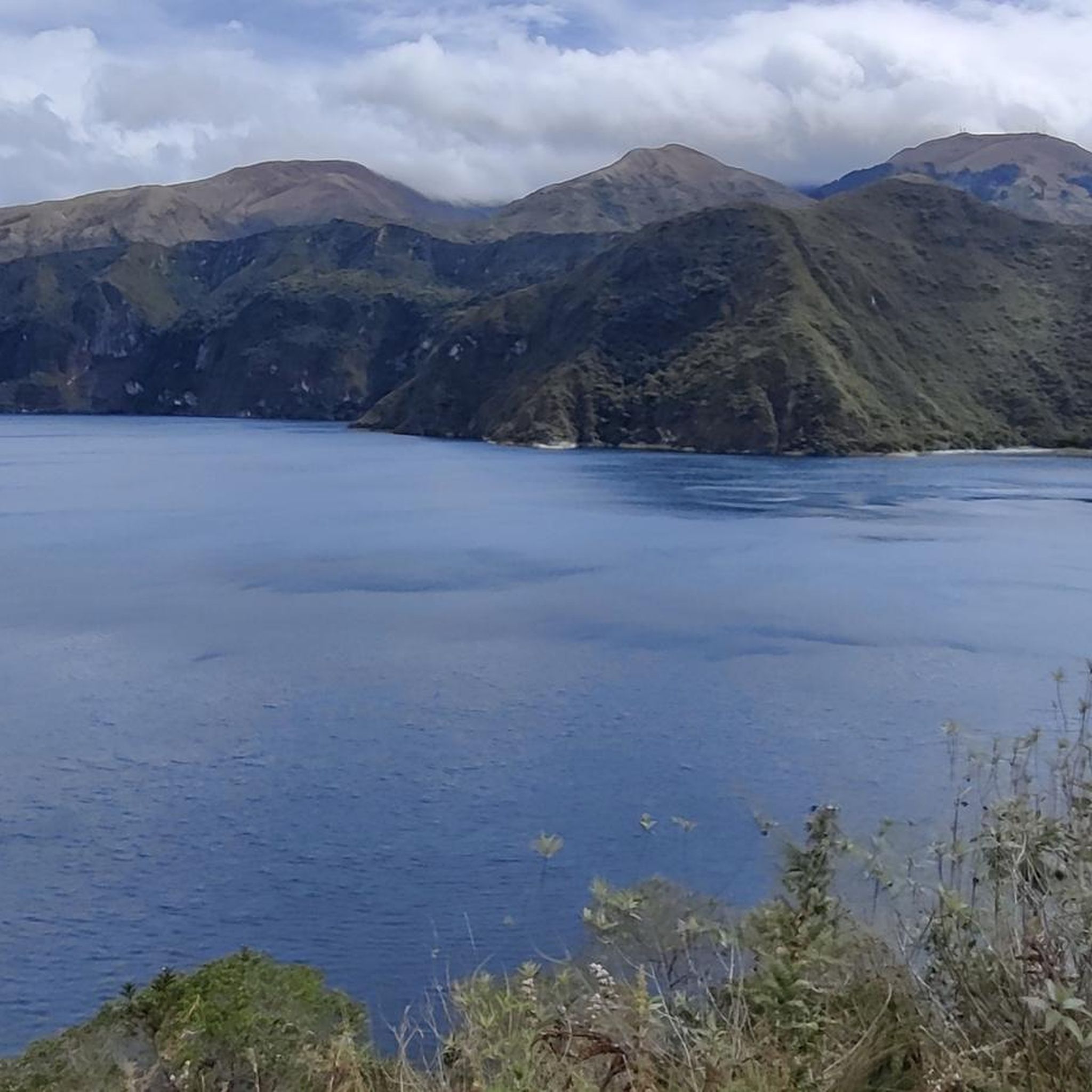
Lake San Pablo or Imbacocha, Spanish Lago San Pablo, Kichwa: Impakucha ("Lake of the Andean Climbing Catfish": impa "Andean Climbing Catfish", kucha "lake") is located in the province of Imbabura in northern Ecuador, at 2,660 m above sea level, below the Imbabura volcano, has a water surface of about 1.8 km² and is of volcanic origin. Source: https://de.wikipedia.org/wiki/Lago_San_Pablo You can take boats across the lake. There are a few stalls at the departure point.
0
0
Frequently Asked Questions
How many hiking trails are available in Quiroga?
Quiroga offers a diverse range of hiking experiences with over 10 documented trails. These include options for various fitness levels, from easy strolls to challenging ascents through the region's unique landscapes.
What are the main natural features I can expect to see while hiking in Quiroga?
Hikers in Quiroga will encounter the expansive Serra do Courel mountain range, deep river valleys of the Quiroga and Sil, and dense forests of chestnut, oak, and ash. The region is also known for its geological formations, including glacial lakes like Lagoa da Lucenza, and several beautiful waterfalls such as the Fervenza de Vieiros.
Are there any easy hiking trails suitable for beginners or families in Quiroga?
Yes, Quiroga offers 3 easy hiking trails, perfect for beginners or families looking for a more relaxed experience. These routes typically involve less elevation gain and shorter distances, allowing everyone to enjoy the natural beauty of the Montañas do Courel Geopark.
Can I find challenging hikes in Quiroga?
Absolutely. For experienced hikers, Quiroga features 1 difficult trail and 7 moderate trails. Routes like the Ruta da Lagoa da Lucenza, which includes Pico Formigueiros, or the Ruta do Ouro e do Ferro, offer significant elevation changes and longer distances, demanding good fitness and providing rewarding views.
Are there any waterfalls to visit on the hiking trails in Quiroga?
Yes, Quiroga is home to several beautiful waterfalls that enhance the hiking experience. A notable one is the Fervenza de Vieiros, a 30-meter waterfall on the River Selmo in the Serra do Courel, which has an accessible path. Other routes, such as the Devesa da Rogueira and Cascada de Fonte do Cervo loop, also feature waterfalls.
What kind of terrain can I expect on Quiroga's hiking trails?
The terrain in Quiroga is highly varied, ranging from mountain paths in the Serra do Courel to trails winding through river valleys and dense woodlands. You'll encounter geological formations, forested sections, and open areas offering panoramic views, reflecting the region's diverse topography.
What do other hikers say about the trails in Quiroga?
The hiking trails in Quiroga are highly regarded by the komoot community, holding an average rating of 4.7 stars from over 100 reviews. Hikers often praise the diverse landscapes, the well-preserved natural environment, and the variety of routes available for different skill levels.
Are there any circular hiking routes in Quiroga?
Yes, Quiroga offers several circular routes, allowing hikers to start and end at the same point. Examples include the Devesa da Rogueira and Cascada de Fonte do Cervo loop, and the challenging Mirador das Gurbias and Cascada de Vieiros loop, providing diverse scenic experiences.
What are some historical or cultural points of interest along the trails?
Beyond natural beauty, Quiroga's trails offer glimpses into the region's history. The Ruta do Ouro e do Ferro (Route of Gold and Iron) specifically allows exploration of the area's mining heritage and cultural landmarks within the Montañas do Courel Geopark.
Is Quiroga part of any larger hiking networks like the Camino de Santiago?
Yes, Quiroga is situated within the broader Galicia region, which is renowned for hiking. It includes sections of the Camino de Santiago, specifically the Winter Route, offering opportunities for longer pilgrim walks through scenic landscapes.
What is the best time of year to go hiking in Quiroga?
Quiroga offers hiking opportunities throughout much of the year. Spring and autumn generally provide pleasant temperatures and vibrant scenery. While some routes can be enjoyed in summer, it's advisable to start early to avoid the midday heat. Winter hiking is also possible, especially on lower-altitude trails, but higher mountain routes may require more preparation due to weather conditions.
Are there any specific viewpoints or scenic overlooks in Quiroga?
Yes, the region boasts several viewpoints offering stunning vistas. The Miradoiro of Bustelo, situated at an altitude of 610 meters, provides excellent views of the Quiroga and Sil river valleys. More challenging routes, such as those leading to Pico Formigueiros, also offer rewarding panoramic views.
Most popular routes in Quiroga
Most popular attractions in Quiroga

Get inspired with the komoot mobile app


Explore more
Browse the best Hikes in other regions.
