The best walks and hikes in Pintag
4.9
(68)
872
hikers
15
hikes
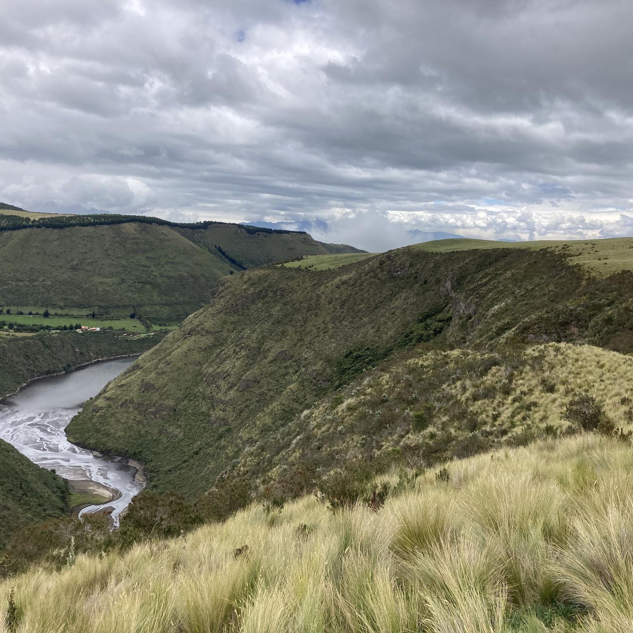
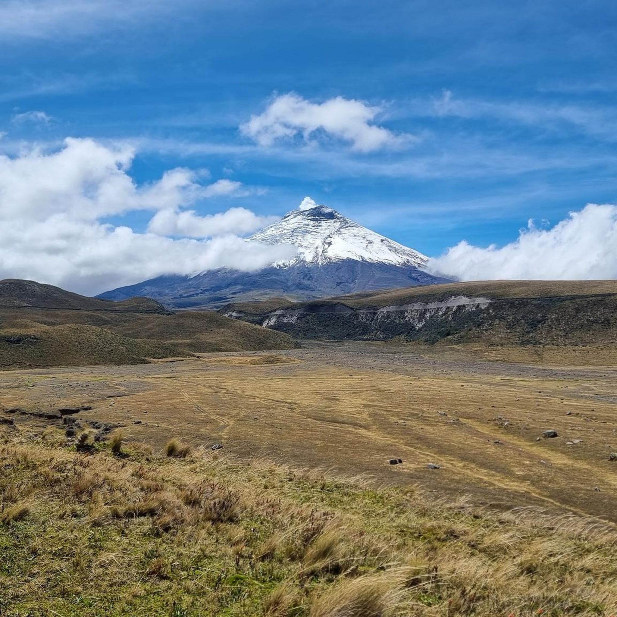
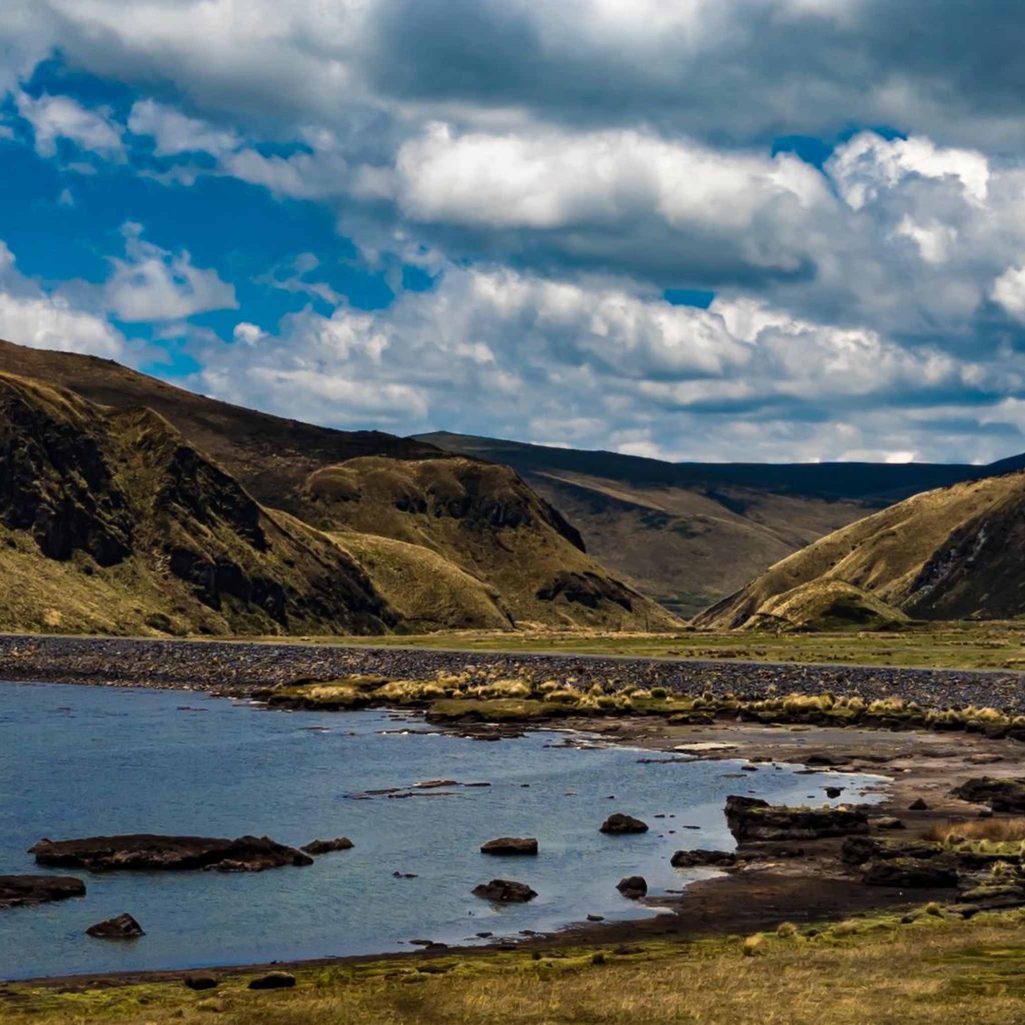
Hiking in Pintag offers access to diverse landscapes within the Ecuadorian Andes, characterized by high-altitude páramo ecosystems and volcanic terrain. The region is surrounded by Antisana National Park, featuring the Antisana volcano and various lagoons like Limpiopungo. Hikers can explore areas with volcanic rock formations, mountains, and rivers, providing varied environments for outdoor activity.
Best hiking trails in Pintag
- The most popular hiking route is Paperbark Tree Forest – Summit of Pasochoa Volcano loop from Rumipamba, a difficult 9.0…
Last updated: July 11, 2026
51
hikers
14.6km
05:03
810m
810m
Hard hike. Very good fitness required. Easily-accessible paths. Suitable for all skill levels.
5.0
(2)
32
hikers
14.4km
05:00
790m
790m
Moderate hike. Good fitness required. Easily-accessible paths. Suitable for all skill levels.

Sign up for free
4.8
(5)
28
hikers
26.6km
09:09
1,240m
1,240m
Hard hike. Very good fitness required. Mostly accessible paths. Sure-footedness required.
5.0
(3)
16
hikers
13.5km
03:53
160m
160m
Moderate hike. Good fitness required. Mostly accessible paths. Sure-footedness required.
22
hikers
6.19km
03:06
410m
410m
Hard hike. Good fitness required. Sure-footedness, sturdy shoes and alpine experience required.
Get access to more routes and recommendations from other explorers.
Sign up for free
Already have an account?
Our route recommendations are based on thousands of hikes, rides, and runs completed by other people on komoot.
Start today with a free account
Your next adventure awaits.
Login or Signup

Tips from the Community

Acclimatize well, dress warmly and don't stop
0
0

A wooden bridge, visible from afar, allows for a beautiful circular walk through partly very swampy areas.
0
0

It's an excellent viewpoint, both for Limpiopungo Lagoon and for Rumiñahui and Cotopaxi Volcano. Because of the cold, you'll need to wear a coat.
0
0

A beautiful circular path leads around the lagoon and great animal sightings are possible.
0
0

Easy, flat tour that circles the lagoon in the rather barren but beautiful landscape of Ecuador.
1
0

Nice circular hike around the lake
0
0

Take a quick breather at 3878 m
0
0

Pay attention to the large stone that serves as an anchor for rappelling from the summit, it is not completely firm and it moves. It is recommended to climb without putting tension on the rope.
0
0
Frequently Asked Questions
How many hiking trails are available in Pintag?
Pintag offers a diverse range of hiking experiences with over 15 trails to explore. These routes cater to various skill levels, from moderate paths suitable for a leisurely day out to challenging ascents for experienced hikers.
What are the typical difficulty levels for hiking trails in Pintag?
Hiking trails in Pintag vary in difficulty. You'll find a good mix of options, with approximately 4 easy routes, 6 moderate routes, and 6 difficult routes. This allows hikers of all experience levels to find a suitable adventure amidst the páramo ecosystems and volcanic landscapes.
Are there any family-friendly hiking options in Pintag?
While many trails in Pintag involve high-altitude terrain, there are options suitable for families. Look for routes with lower elevation gain and shorter distances. The area around Limpiopungo Lagoon, for instance, offers relatively flat paths and stunning views, perfect for a family outing. Always check the specific trail details for suitability.
Can I bring my dog on the hiking trails in Pintag?
Pintag's trails often traverse protected areas like Antisana National Park and parts of Cotopaxi National Park. Regulations regarding pets can vary. It's advisable to check the specific rules for each park or reserve before bringing your dog, as some areas may restrict access to protect local wildlife, especially condors and other unique species.
What kind of natural attractions can I expect to see along the trails in Pintag?
Pintag's trails are rich in natural beauty. You can expect to encounter unique páramo ecosystems, dramatic volcanic landscapes, and serene lagoons. Notable attractions include Limpiopungo Lagoon, Laguna de La Mica, and breathtaking views of the Antisana and Cotopaxi volcanoes. Keep an eye out for diverse birdlife, including condors, which are often spotted soaring overhead.
Are there any circular hiking routes in Pintag?
Yes, Pintag offers several excellent circular hiking routes. For example, the Paperbark Tree Forest – Summit of Pasochoa Volcano loop from Rumipamba is a challenging circular trail, while the View of Limpiopungo Lake – Limpiopungo Lagoon loop from Tambopaxi offers a moderate circular experience around the lagoon.
What is the best time of year to go hiking in Pintag?
The best time to hike in Pintag generally aligns with the drier seasons. While the Andes can experience unpredictable weather, the months from June to September and December to February often offer clearer skies and less rainfall, providing better conditions for exploring the high-altitude páramo and volcanic terrain. However, be prepared for sudden weather changes at any time of year.
What do other hikers say about the trails in Pintag?
The hiking community highly rates the trails in Pintag, with an average score of 4.9 stars from over 60 reviews. Hikers frequently praise the stunning natural beauty, the immersive experience in the páramo ecosystems, and the dramatic views of the volcanoes. Many appreciate the variety of routes available, from challenging summit attempts to more accessible lagoon walks.
Is public transport available to reach hiking trailheads in Pintag?
Access to some trailheads in Pintag, especially those within national parks or more remote areas, might require private transport or a taxi. While there may be local bus services to Pintag town, reaching specific starting points for hikes like those around Antisana National Park or Cotopaxi National Park often necessitates further arrangements. It's recommended to plan your transport in advance.
Are there any specific permits or access requirements for hiking in Pintag, especially for national parks?
Yes, hiking in areas like Antisana National Park and Cotopaxi National Park, which surround Pintag, often requires permits or an entrance fee. It's crucial to check the current regulations for each specific park or reserve you plan to visit, as requirements can change. For general information about rural experiences near Pintag, you might find resources on the Visit Quito website.
Where can I find parking near the hiking trails in Pintag?
Parking availability varies depending on the trailhead. For popular spots like the entrance to Cotopaxi National Park (near Limpiopungo Lagoon) or certain haciendas that serve as starting points, designated parking areas are usually available. For more remote trails, parking might be less formal. Always ensure you park in a safe and authorized location.
Are there any trails that offer views of the Cotopaxi volcano?
Absolutely. Pintag's proximity to Cotopaxi National Park means many trails offer spectacular views of the iconic Cotopaxi volcano. The Pasochoa Volcano summit loop from Hacienda San Francisco de Pasochoa, for instance, provides excellent vistas of Cotopaxi and the surrounding high-altitude grasslands. The area around Limpiopungo Lagoon is also renowned for its clear views of the volcano.
Most popular attractions in Pintag

Get inspired with the komoot mobile app


Explore more
Browse the best Hikes in other regions.
