The 5 Most Amazing Peaks around Dauchingen
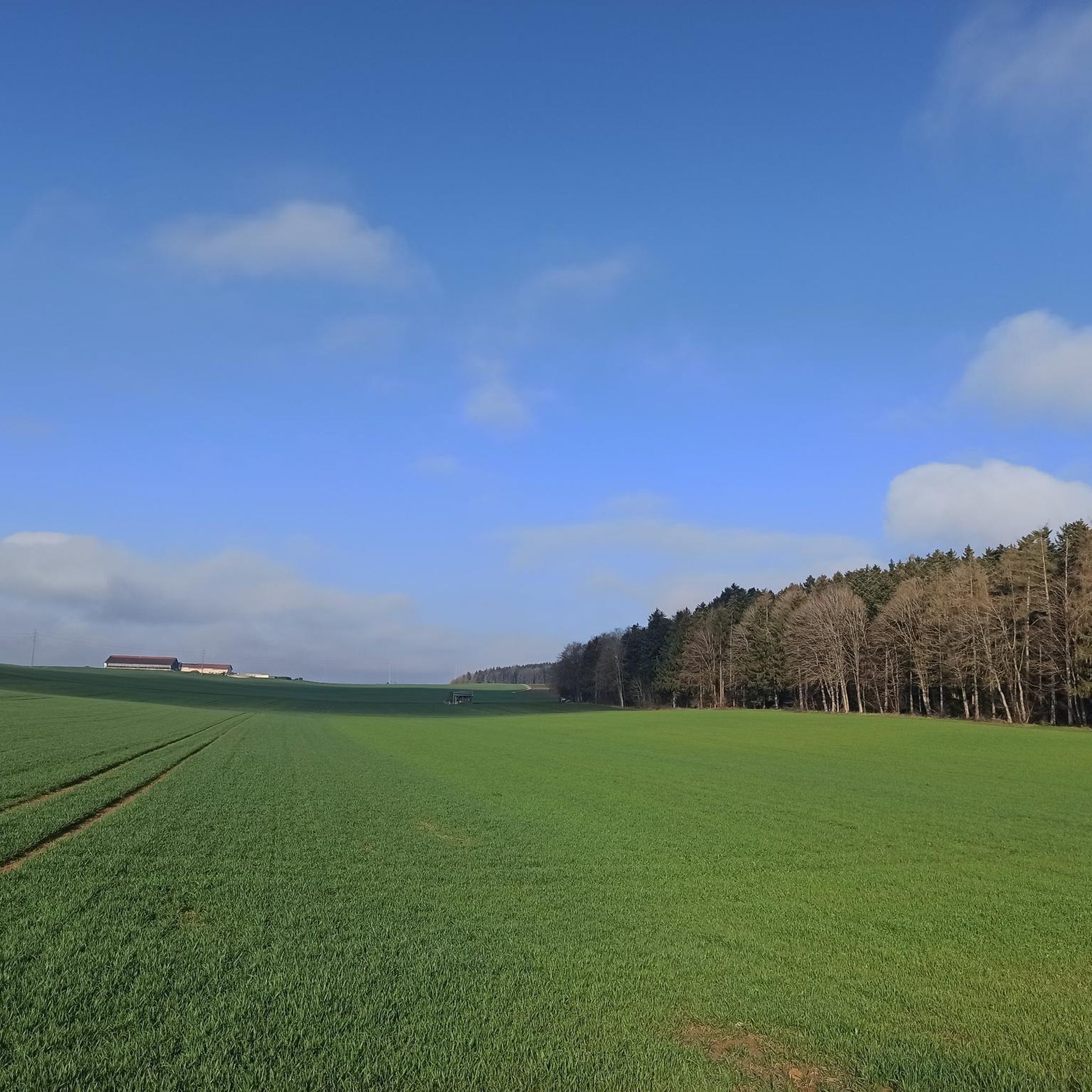
Mountain peaks around Dauchingen are characterized by the undulating Baar region, featuring rolling hills and elevated points. The area is suitable for outdoor activities such as hiking and mountain biking. Elevations within the municipal area range from approximately 624 to 764 meters above sea level. While traditional towering peaks are not extensively documented, the region offers notable elevated locations and viewpoints.
Best mountain peaks around Dauchingen
- The most popular mountain peaks is Lupfen Tower, a viewpoint that is an…
Last updated: June 24, 2026
Thyssenkrupp Test Tower, Rottweil
Highlight • Monument
Showing Translation
Tip by

Lupfen Tower
Highlight • Viewpoint
Translated by Google •
Tip by

Sign up now to discover places like this
Get recommendations on the best single tracks, peaks, & plenty of other exciting outdoor places.
Sign up for free
Magdalenenberg Oak
Highlight • Natural Monument
Translated by Google •
Tip by
Rottweil Station
Highlight • Monument
Translated by Google •
Tip by

Türnleberg Summit and Richard Schmidt Memorial
Highlight • Summit
Translated by Google •
Tip by

Sign up for free to discover even more peaks around Dauchingen.
Sign up for free
Already have an account?
Start today with a free account
Your next adventure awaits.
Login or Signup

Tips from the Community

Rottweil station is a station on the Plochingen–Immendingen railway line, which today forms part of the Gäubahn in this area, and is also the starting point of the Rottweil–Villingen railway line. It is located on the northeastern edge of Rottweil at 557 m above sea level. Construction work began in 1865. During the construction, the remains of approximately 2,000 Russian soldiers were discovered. They had died of an epidemic about 50 years earlier. They found their final resting place in a mass grave on the station grounds. The station opened on July 23, 1868. The station was originally 685 meters long and up to 162 meters wide. The complex included an administration building and a goods shed, as well as two locomotive depots and a repair shop. From 1928 to 1971, Rottweil was also the terminus of the Balingen–Rottweil railway line. Source: https://de.wikipedia.org/wiki/Bahnhof_Rottweil
3
0

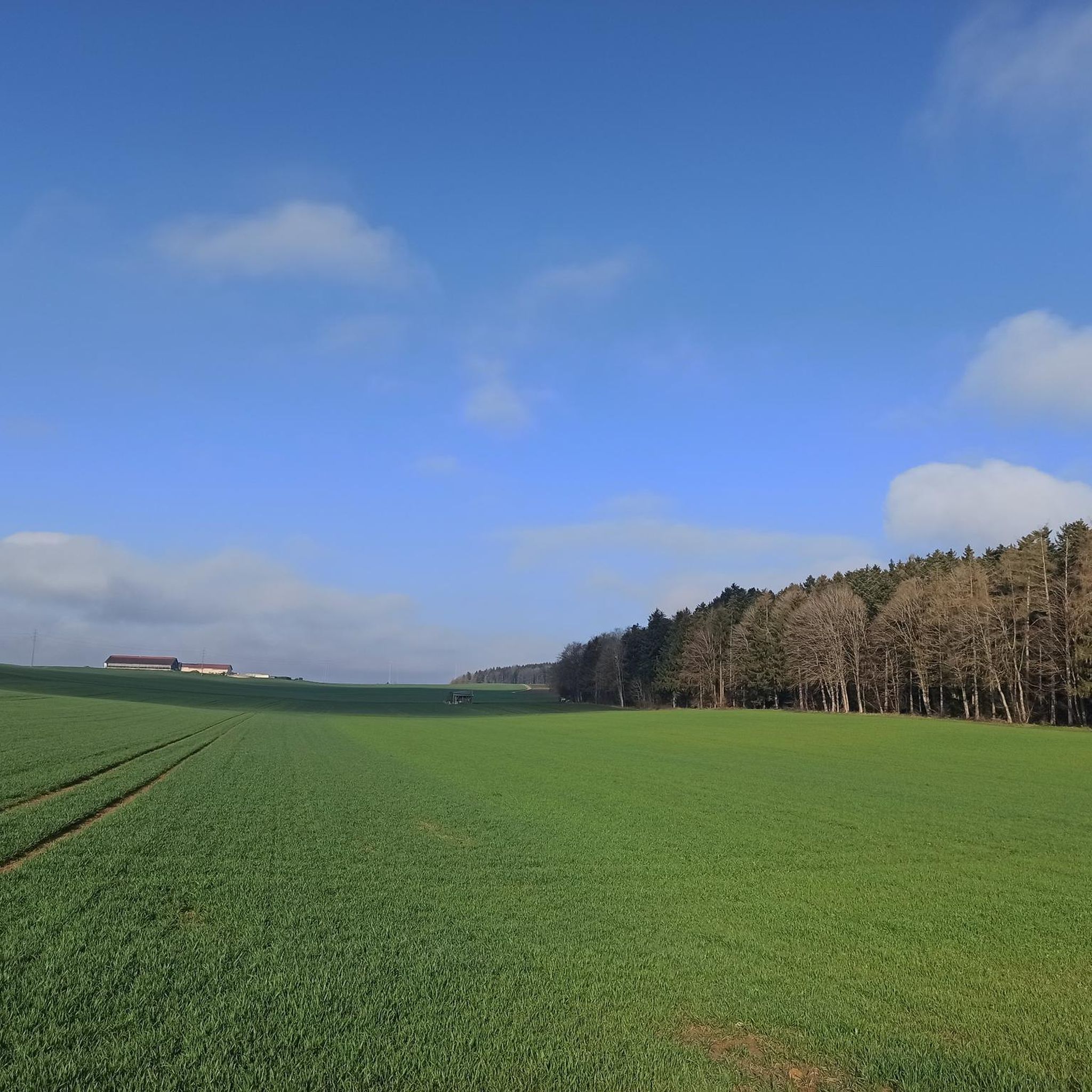
The Türnleberg is located at 793 m near VS and is on the former border between Baden and Württemberg
0
0
an interesting tower is maintained by the Swabian Alb Association
8
0

The TK Elevator Test Tower in Rottweil is a 246-meter-high elevator test tower for express and high-speed elevators. With 232 meters, it offers Germany's highest visitor platform and is the world's second-tallest test tower for elevator systems.
6
0
The tower rises far above Rottweil and can be seen from many places. A visit to the viewing platform is recommended.
11
0

Pleasant train station, very clean and the adjoining bar makes great pizza
1
1

Great view from the 232m high tower
10
0

We children were always told that a tunnel led from the lupf (in the Middle Ages) to the carp, but I never found out whether this story was true. The tunnel entrance would probably be under the stairs.
4
0
Frequently Asked Questions
What kind of elevated spots can I expect to find around Dauchingen?
The Dauchingen area, situated in the Baar region, features rolling hills and elevated points rather than traditional towering mountain peaks. You'll find a landscape ideal for outdoor activities, with elevations ranging from approximately 624 to 764 meters above sea level. These elevated locations often offer scenic viewpoints and are perfect for hiking and mountain biking.
Which are the most popular viewpoints around Dauchingen?
One of the most popular viewpoints is the Lupfen Tower, an interesting tower maintained by the Swabian Alb Association, offering expansive panoramic views of the surrounding Baar landscape. Other notable spots include the Magdalenenberg Oak, which provides great views and a resting spot, and the Türnleberg Summit, also known for its views.
Are there any historical sites or landmarks on the elevated points near Dauchingen?
Yes, the area is rich in history. The Magdalenenberg Celtic Burial Mound is a significant historical site, considered the largest burial mound globally, dating back to the early Iron Age. Additionally, the Türnleberg Summit features the Richard Schmidt Memorial and is located on the former border between Baden and Württemberg, adding to its historical significance.
What natural features can I explore on the elevated trails around Dauchingen?
Beyond the rolling hills and forests, you can visit the Magdalenenberg Oak, a natural monument that serves as a beautiful resting spot. The general landscape is characterized by meadows and forests, providing varied terrain and picturesque outlooks for nature enthusiasts.
Are there family-friendly elevated spots or trails near Dauchingen?
Absolutely. The Magdalenenberg Oak and the Magdalenenberg Celtic Burial Mound are both categorized as family-friendly. These locations offer accessible paths and interesting sights suitable for visitors of various ages.
What outdoor activities can I do near the elevated points around Dauchingen?
The region is excellent for outdoor activities, particularly hiking and mountain biking. You can find numerous routes that lead to elevated spots and viewpoints. For road cycling, explore options like the 'Marbach Church loop from Dauchingen' or 'Oberhardt Scenic View – Buchenberg loop from Niedereschach' found in the Road Cycling Routes around Dauchingen guide. For mountain biking, consider routes such as 'The Young Neckar – Romäus Tower loop from Weilersbach' or 'Forest Trail Near Bad Dürrheim – The Young Neckar loop from Dauchingen' from the MTB Trails around Dauchingen guide.
Are there hiking trails that offer scenic views near Dauchingen?
Yes, many hiking trails in the Dauchingen area lead to elevated spots with beautiful views. For example, the general area is known for routes that provide experiences of elevated natural beauty, such as those leading to the Lupfen Tower or the Türnleberg Summit, both offering panoramic vistas.
What is the best time to visit Dauchingen for outdoor activities?
The landscape around Dauchingen, with its meadows and forests, provides varied terrain suitable for exploration throughout much of the year. While specific seasonal advice isn't provided, the region's rolling hills and forests generally offer pleasant conditions for hiking and cycling during spring, summer, and autumn.
How do visitors rate the elevated spots and trails around Dauchingen?
The elevated spots and trails around Dauchingen are highly appreciated by the komoot community. Highlights in the area have collectively received 306 upvotes and 411 photos have been shared, indicating a strong positive response from visitors who enjoy the scenic beauty and recreational opportunities.
Can I find easy routes for gravel biking near Dauchingen?
Yes, there are gravel biking options available. While some routes are more challenging, you can find various trails in the Gravel biking around Dauchingen guide. For instance, the 'Brigach Riverside Path – Brigach Riverside loop from Villingen (Schwarzwald)' is a moderate option, and the area's terrain is generally suitable for this activity.
What makes the Türnleberg Summit unique?
The Türnleberg Summit is unique for several reasons. Located at 793 meters, it's one of the highest elevations near VS-Schwenningen and sits on the former border between Baden and Württemberg. It also features the Richard Schmidt Memorial and offers benches for resting while enjoying the views.
Most popular routes around Dauchingen
Most popular attractions around Dauchingen

Get inspired with the komoot mobile app


Explore more
See even more amazing summits around Dauchingen with these guides:
