The best running trails in Gigerline Nature Reserve
5.0
(1)
144
runners
8
runs
Jogging in Gigerline Nature Reserve offers a range of natural landscapes for runners. The region features undulating paths that traverse varied terrain, including areas around water features like Point Hut Pond. With several routes available, runners can experience both moderate and more challenging elevations, characteristic of a nature reserve environment. The trails provide opportunities to explore the natural surroundings of Gigerline Nature Reserve.
Best jogging routes in Gigerline Nature Reserve
- The most popular jogging route is Point Hut Pond loop…
Last updated: July 18, 2026
12
runners
20.4km
02:57
960m
960m
Hard run. Very good fitness required. Mostly paved surfaces. Suitable for all skill levels.
46
runners
5.98km
00:37
40m
30m
Moderate run. Good fitness required. Mostly paved surfaces. Suitable for all skill levels.

Sign up for free
5
runners
12.4km
01:31
490m
490m
Hard run. Very good fitness required. Mostly paved surfaces. Suitable for all skill levels.
44
runners
5.28km
00:33
30m
30m
Moderate run. Good fitness required. Mostly paved surfaces. Suitable for all skill levels.
3
runners
8.08km
00:57
220m
220m
Moderate run. Good fitness required. Mostly paved surfaces. Suitable for all skill levels.
Get access to more routes and recommendations from other explorers.
Sign up for free
Already have an account?
Our route recommendations are based on thousands of hikes, rides, and runs completed by other people on komoot.
Start today with a free account
Your next adventure awaits.
Login or Signup
Popular around Gigerline Nature Reserve
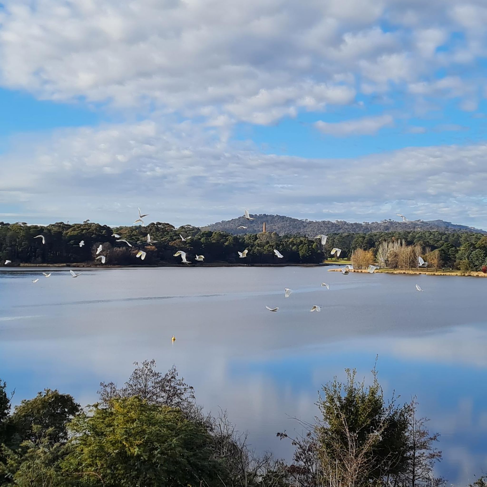
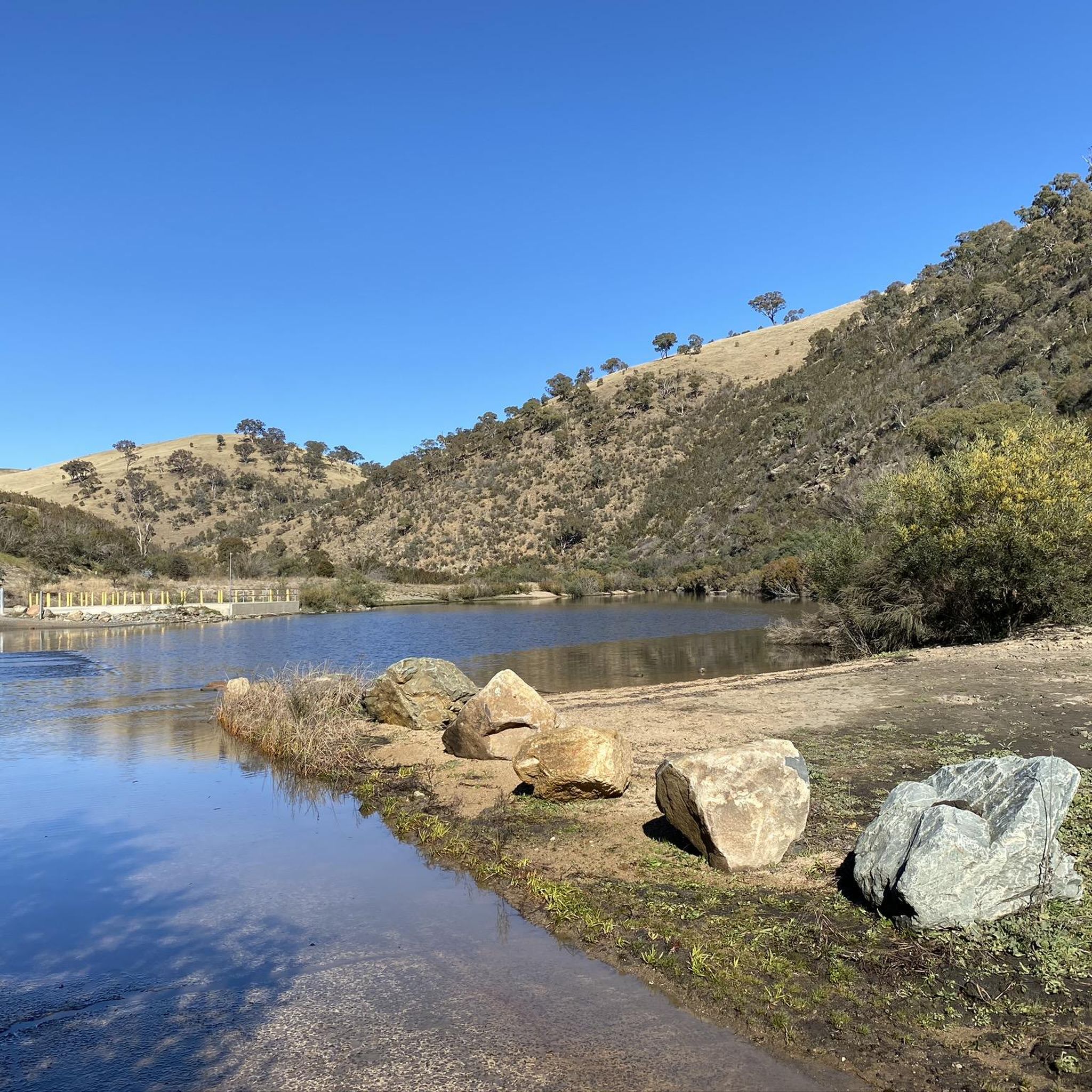


Tips from the Community

The summit of Mount Tennent rises to about 1,375 metres, making it one of the most prominent peaks visible from southern Canberra. From the top, there are beautiful views across Namadgi National Park, including the Gudgenby Valley and distant peaks of the Australian Alps.
0
0
Cypress Pine Lookout is one of the main viewpoints along the Mount Tennent Track, roughly halfway up the mountain. The lookout sits near stands of native cypress pine and opens up to wide views across the Gudgenby Valley toward the surrounding ranges of Namadgi National Park. It’s an ideal place for a scenic break before continuing the climb toward the summit.
0
0
Mount Tennent Track is a relatively challenging route that climbs steadily to the summit. The well-formed path passes through dry forest and rocky slopes, gaining significant elevation as it winds up the mountain’s ridgeline. Along the way, there are several viewpoints with expansive views across the Gudgenby Valley and surrounding ranges.
0
0

Relatively new trail cut to the summit that's a lot less boggier and easier on your feet.
0
0

Frequently Asked Questions
How many running routes are available in Gigerline Nature Reserve?
Gigerline Nature Reserve offers 9 dedicated running routes. These include 4 moderate and 5 difficult trails, providing options for various fitness levels.
Are there any easy jogging routes for beginners in Gigerline Nature Reserve?
While there are no routes specifically classified as 'easy', several moderate trails are suitable for beginners looking for a gentle introduction. For example, the Point Hut Pond loop from Banks is a moderate 6.0 km route with minimal elevation gain, taking about 40 minutes to complete.
What is the typical length of jogging routes in Gigerline Nature Reserve?
Running routes in Gigerline Nature Reserve vary in length. You can find shorter loops like the Point Hut Pond loop from Gordon at 5.3 km, up to longer, more challenging runs such as the Mount Rob Roy – Rob Roy Nature Reserve loop from Conder, which spans nearly 20 km.
Are there circular running routes in Gigerline Nature Reserve?
Yes, many of the running routes in Gigerline Nature Reserve are circular. Popular options include the Point Hut Pond loop from Banks and the Running loop from Banks, allowing you to start and finish at the same point.
What kind of terrain can I expect on the jogging trails?
The jogging trails in Gigerline Nature Reserve feature varied and undulating terrain. You'll encounter paths around water features like Point Hut Pond, as well as routes with notable elevation changes, offering both moderate and more challenging sections.
Are the running routes in Gigerline Nature Reserve suitable for families?
For families, the moderate routes with less elevation are generally more suitable. The loops around Point Hut Pond, such as the Point Hut Pond loop from Gordon, offer relatively flat and scenic paths that can be enjoyable for a family outing.
Can I bring my dog on the running trails in Gigerline Nature Reserve?
Gigerline Nature Reserve is generally dog-friendly, but it's important to check specific regulations for each trail or section, as rules can vary, especially concerning wildlife protection. Always keep your dog on a leash and clean up after them.
Are there good views along the jogging routes in Gigerline Nature Reserve?
Yes, many routes offer scenic views, particularly those that traverse the varied natural landscape and areas around water features. The trails around Point Hut Pond provide pleasant waterside vistas, while routes with higher elevation, like the Running loop from Banks, can offer broader perspectives of the reserve.
What do other runners enjoy most about jogging in Gigerline Nature Reserve?
The area is highly rated by the komoot community, with an average score of 5.0 stars. Runners often praise the varied terrain, the natural surroundings, and the opportunities for both moderate and challenging workouts.
What is the best season for running in Gigerline Nature Reserve?
The best season for running often depends on personal preference. Spring and autumn typically offer milder temperatures and beautiful scenery. Summer can be warm, so early morning or late afternoon runs are advisable, while winter might present cooler conditions, requiring appropriate gear.
Is there parking available near the jogging trails?
Yes, parking is generally available at common access points for the nature reserve, particularly near the starting points of popular routes. For instance, routes starting from Banks or Gordon usually have nearby parking facilities.
How can I access Gigerline Nature Reserve using public transport for jogging?
Public transport options to Gigerline Nature Reserve may be limited, depending on your starting location. It's advisable to check local bus schedules and routes that serve the Banks, Gordon, or Conder areas, as these are common access points for the running trails.

Get inspired with the komoot mobile app


Explore more
Browse the best Running Trails & Routes in other regions.
