The best walks and hikes around Henggart
4.6
(2608)
12,959
hikers
790
hikes
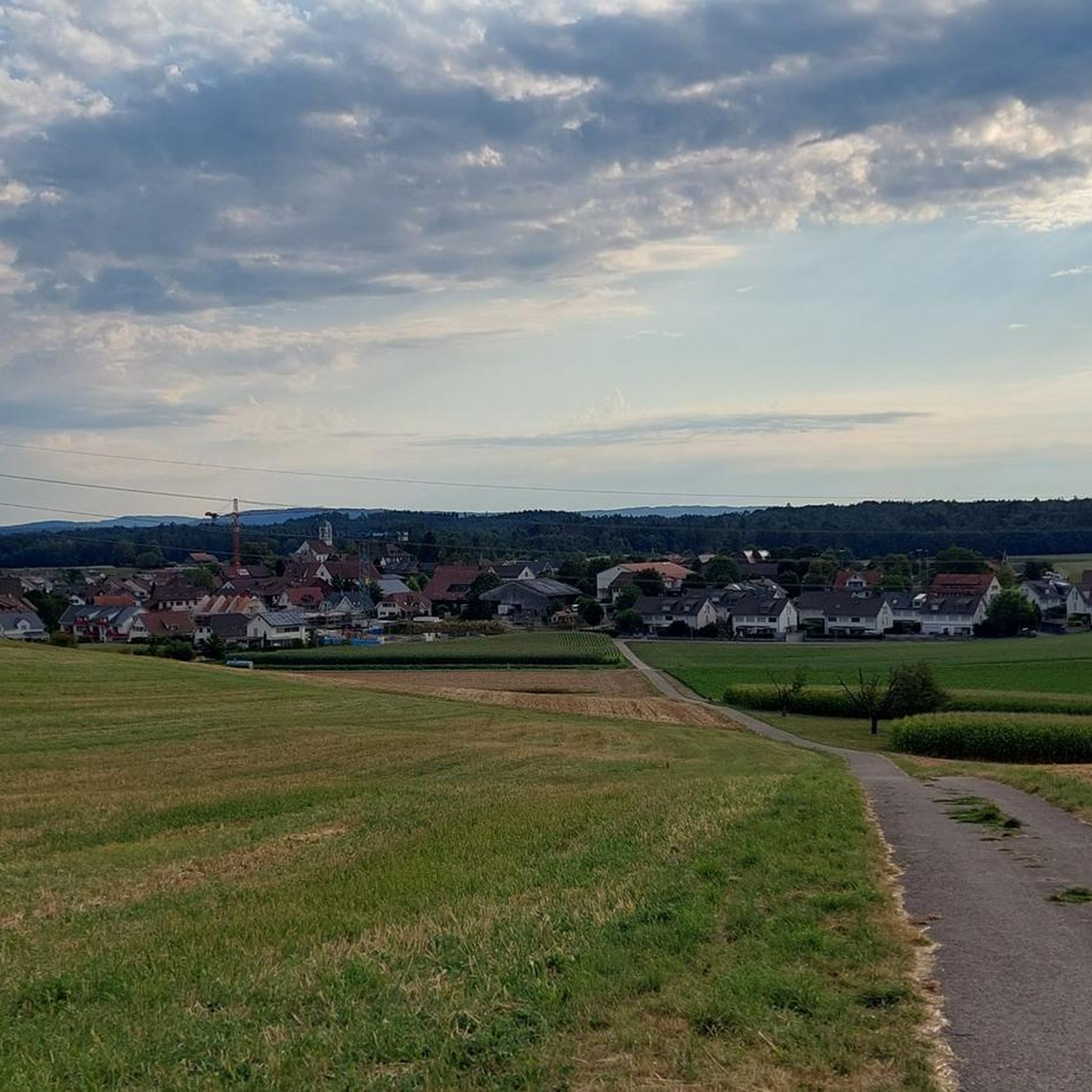
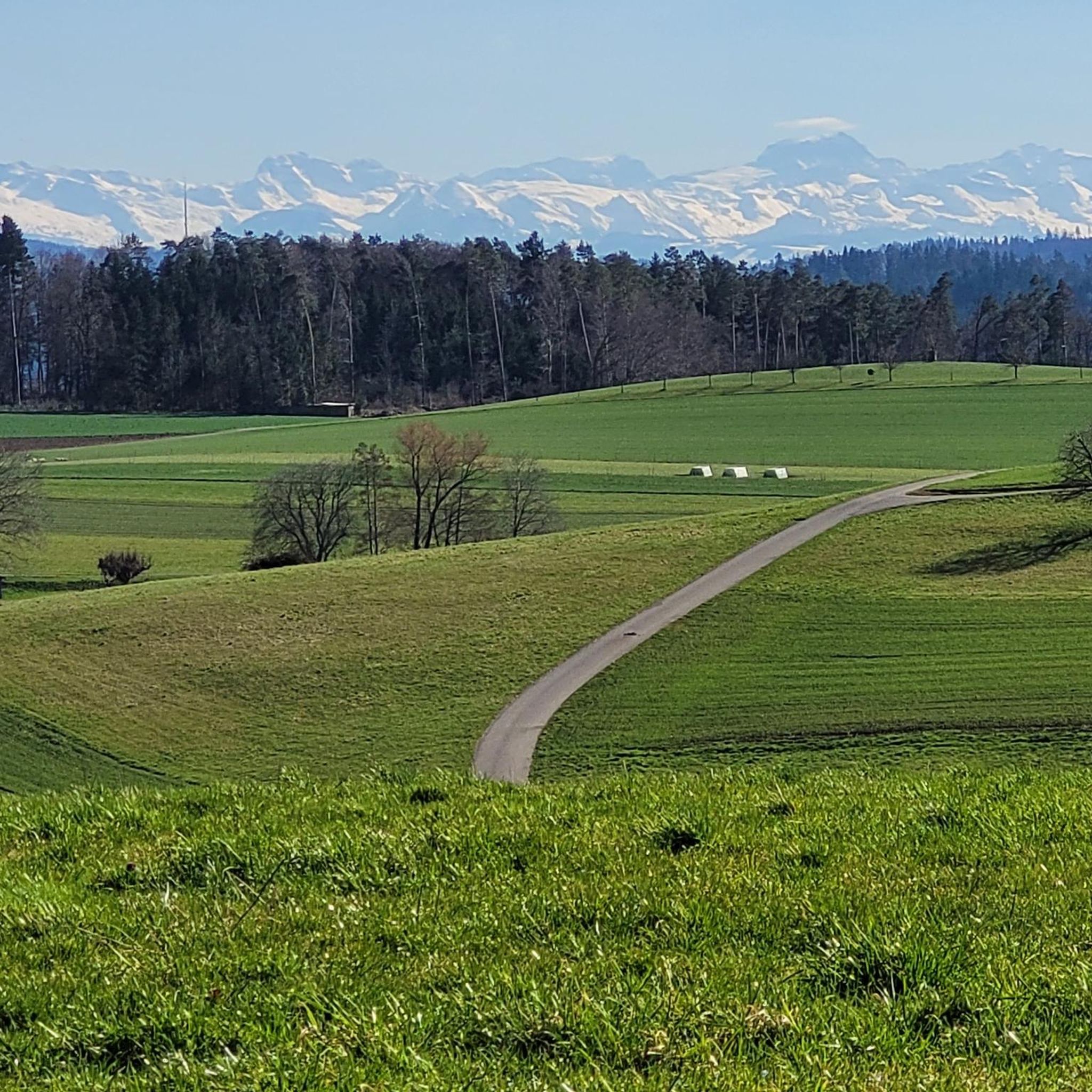
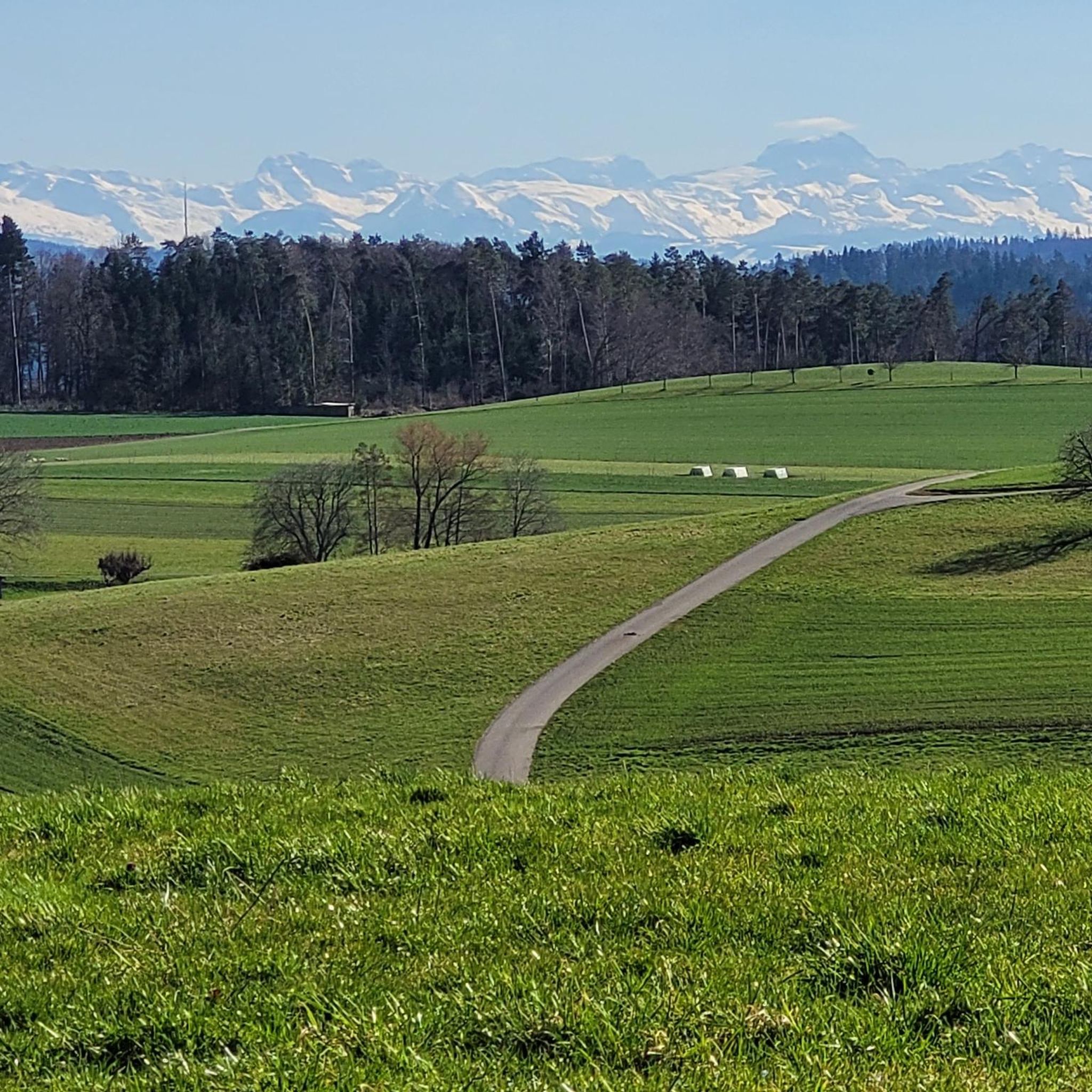
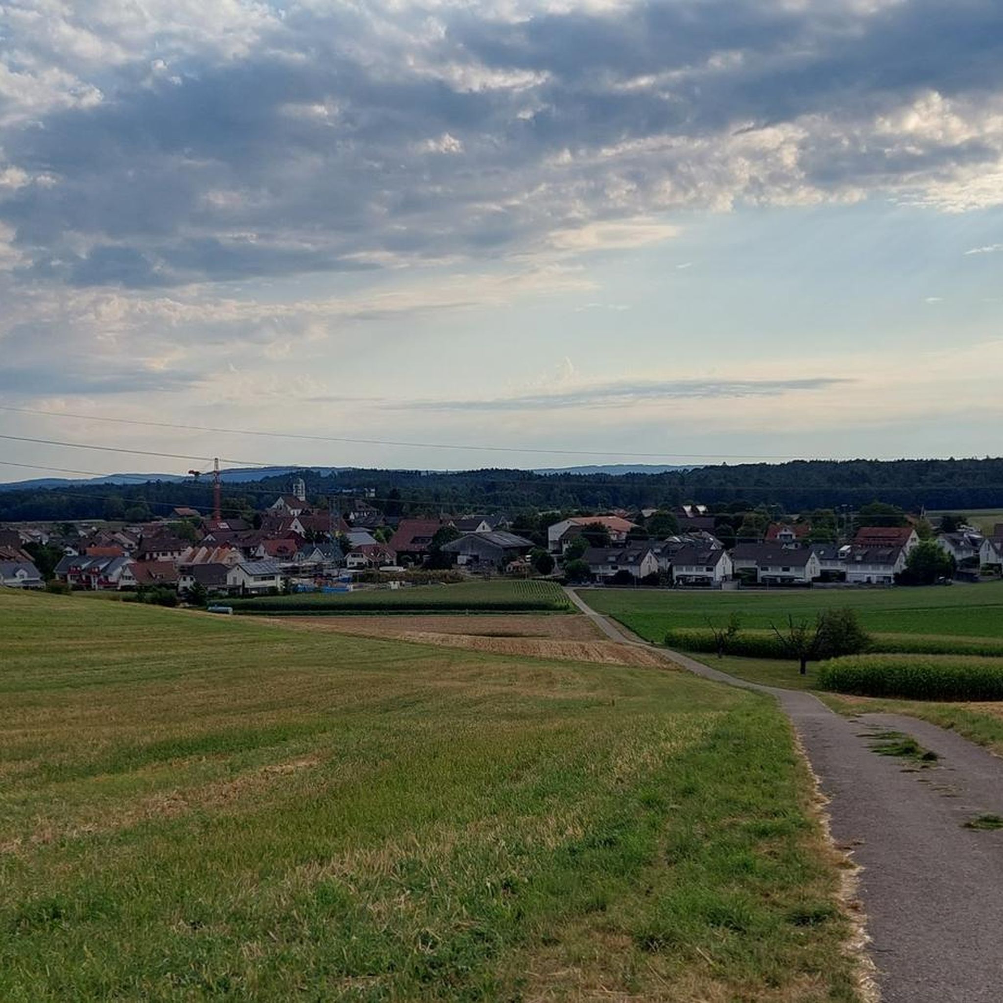
Hiking around Henggart offers diverse landscapes, from accessible paths to routes with significant elevation gains. The region features wine country views and, on clear days, panoramic vistas of the Alps. Hikers can explore natural monuments, waterfalls, and lakes, providing varied terrain for outdoor activities. The area's trails cater to different fitness levels, allowing for both easy walks and more strenuous undertakings.
Best hiking trails around Henggart
- The most popular hiking route is Dürrenbiel loop from Henggart, an easy 2.9…
Last updated: October 4, 2026
4.8
(6)
22
hikers
9.31km
02:29
110m
110m
Moderate hike. Good fitness required. Easily-accessible paths. Suitable for all skill levels.
5.0
(3)
10
hikers
8.92km
02:23
100m
100m
Moderate hike. Good fitness required. Easily-accessible paths. Suitable for all skill levels.

4.0
(1)
14
hikers
Moderate hike. Good fitness required. Easily-accessible paths. Suitable for all skill levels.
3.0
(1)
7
hikers
4.59km
01:13
40m
40m
Easy hike. Great for any fitness level. Easily-accessible paths. Suitable for all skill levels.
6
hikers
5.65km
01:31
60m
60m
Easy hike. Great for any fitness level. Easily-accessible paths. Suitable for all skill levels.
Get access to more routes and recommendations from other explorers.
Already have an account?
Our route recommendations are based on thousands of hikes, rides, and runs completed by other people on komoot.
Start today with a free account
Your next adventure awaits.
Tips from the Community

Possibility to make a campfire. Wood on site
0
0

Well equipped with wood etc.
2
0

The frogs everywhere, and the great water lilies - I almost fell into the water to get a close-up... :)
4
1

A narrow road leads from Hettlingen or Seuzach above the Rebberg. This is 90 percent paved, only a short section gravel. The view of the wide plain between the two places is very nice
0
0

The pond is named after its owner, not the species of tree.
2
0

Well-equipped barbecue area with a beautiful all-round view
1
0

Frequently Asked Questions
How many hiking trails are available around Henggart?
There are over 800 hiking routes around Henggart, catering to various preferences and fitness levels. This includes a wide selection of easy, moderate, and some more challenging trails.
Are there easy hiking routes suitable for beginners or families in Henggart?
Yes, Henggart offers a significant number of easy hiking routes. For instance, the Dürrenbiel loop from Henggart is an easy 2.9-mile trail that takes about 1 hour 12 minutes, perfect for a relaxed outing. Another great option is the Schläpfer Bakery – Baldisriet Wetland loop from Henggart, a 3.9-mile route through wetland areas.
What kind of natural attractions can I expect to see on hikes around Henggart?
The region around Henggart is rich in natural beauty. You can discover several natural monuments, including lakes like Husemer Lake and Nussbaumersee, and even the Affenschlucht Waterfall. The trails also offer views of the wine country and, on clear days, panoramic vistas of the Alps.
Are there any historical landmarks or castles to explore while hiking in the area?
Absolutely. The region features several historical sites. You can find routes that lead to impressive castles such as Hegi Castle, Wart Castle, and Mörsburg Castle. These offer a blend of natural scenery and cultural exploration.
Are the hiking trails around Henggart suitable for dogs?
While specific dog-friendly designations for every trail are not listed, the diverse landscapes and numerous paths around Henggart generally welcome dogs. It's always recommended to keep dogs on a leash, especially in nature reserves or near livestock, and to check local regulations for specific areas.
What do other hikers say about the trails in Henggart?
The hiking routes in Henggart are highly regarded by the komoot community, with an impressive average score of 4.6 stars from over 2,200 reviews. Hikers often praise the diverse landscapes, well-maintained paths, and the variety of experiences, from easy strolls to more challenging ascents.
Are there any circular hiking routes in Henggart?
Yes, many of the trails around Henggart are designed as loops, offering convenient circular walks. An example is the moderate Chriesibaumpassage – View of Bebikon loop from Henggart, which covers 6.5 miles and provides scenic views.
Can I reach the hiking trailheads around Henggart using public transport?
Henggart is part of Switzerland's well-connected public transport network. Many trailheads are accessible via local bus services or train connections, making it convenient to start your hike without a car. It's advisable to check local transport schedules for specific starting points.
Are there any hikes that feature water bodies like lakes or rivers?
Yes, the region includes several water features. You can hike to Husemer Lake or Nussbaumersee. Additionally, the Thurspitz marks the confluence of the Thur and Rhine rivers, offering a unique natural spectacle.
What is a good moderate hike in Henggart for someone looking for a bit more challenge?
For a moderate challenge, consider the Chriesibaumpassage – View of Bebikon loop from Henggart. This 6.5-mile route involves some elevation gain and takes approximately 2 hours 57 minutes, offering rewarding views of the surrounding area.
Are there any specific viewpoints or towers to visit on a hike?
Yes, the Irchel Tower is a notable attraction, offering beautiful views of the wine country and, on clear days, panoramic vistas of the Alps. The ascent to the tower is steep but well worth the effort for the scenic outlooks.
Are there any longer easy routes for a more extended, relaxed walk?
If you're looking for a longer, yet still easy, walk, the Hiking loop from Henggart is a good option. It's about 4.2 miles long and can be completed in under two hours, providing a pleasant extended stroll through the local landscape.
Most popular attractions around Henggart

Get inspired with the komoot mobile app


Explore more
Browse the best Hikes in other regions.
