The best cycling routes in Horseshoe Falls Reserve
5.0
(1)
158
riders
5
rides
Touring cycling in Horseshoe Falls Reserve offers routes through varied terrain, characterized by undulating hills and forested areas. The reserve provides a mix of challenging climbs and more gentle paths suitable for different skill levels. Elevations vary, with some routes featuring significant ascents and descents. The landscape primarily consists of natural bushland and trails.
Best touring cycling routes in Horseshoe Falls Reserve
- The most popular touring cycling route is Coates Park loop from Hazelbrook, a 5.5 miles (8.8 km)…
Last updated: July 17, 2026
17
riders
8.83km
00:48
80m
80m
Easy bike ride. Great for any fitness level. Mostly paved surfaces. Suitable for all skill levels.
90
riders
51.1km
04:03
890m
890m
Hard bike ride. Very good fitness required. Mostly paved surfaces. Suitable for all skill levels.

Sign up for free
22
riders
58.1km
05:22
1,050m
1,050m
Hard bike ride. Very good fitness required. Mostly paved surfaces. Suitable for all skill levels.
6
riders
31.8km
02:50
590m
600m
Hard bike ride. Very good fitness required. Mostly paved surfaces. Suitable for all skill levels.
5.0
(1)
6
riders
38.3km
03:19
690m
690m
Hard bike ride. Very good fitness required. Mostly paved surfaces. Suitable for all skill levels.
Our route recommendations are based on thousands of hikes, rides, and runs completed by other people on komoot.
Start today with a free account
Your next adventure awaits.
Login or Signup
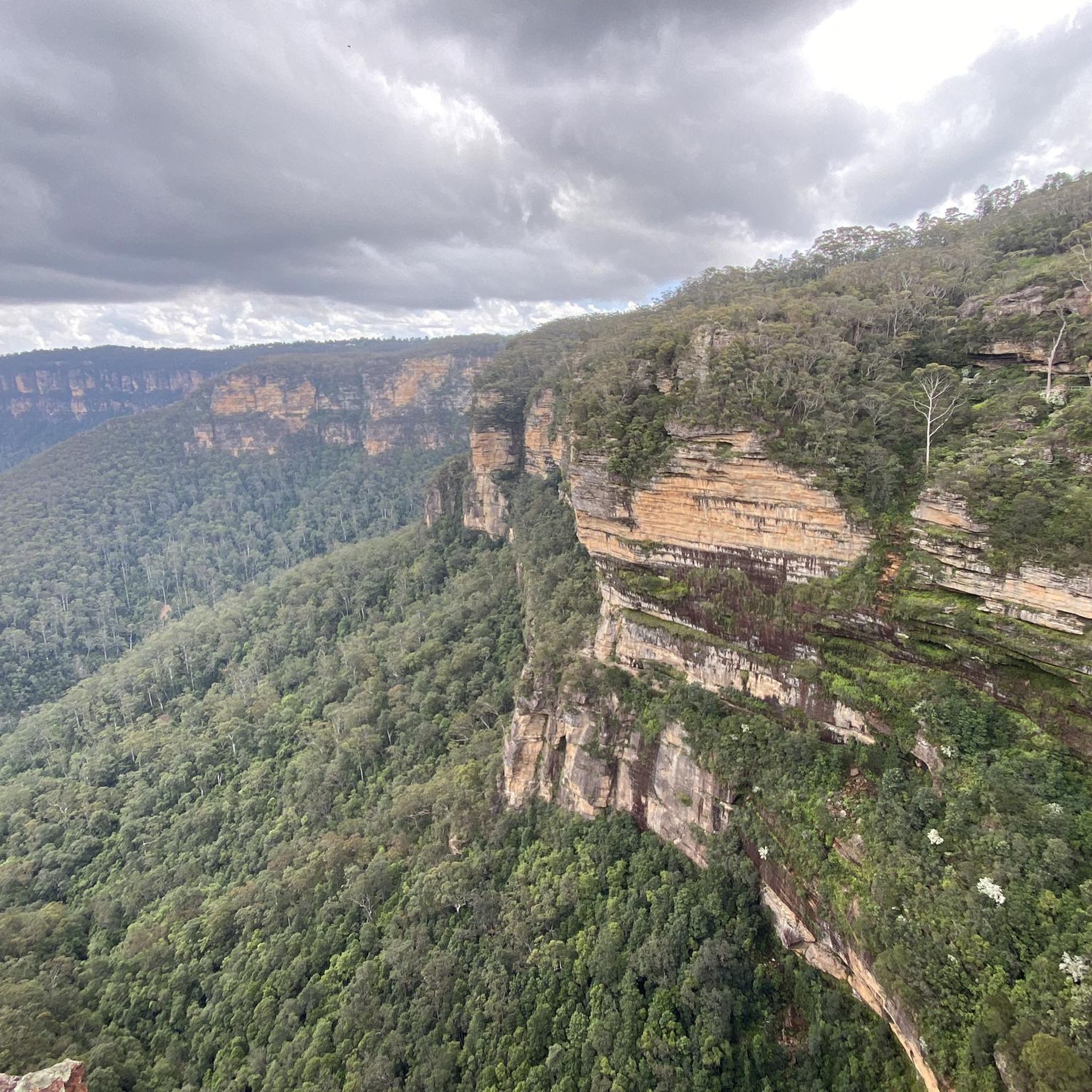
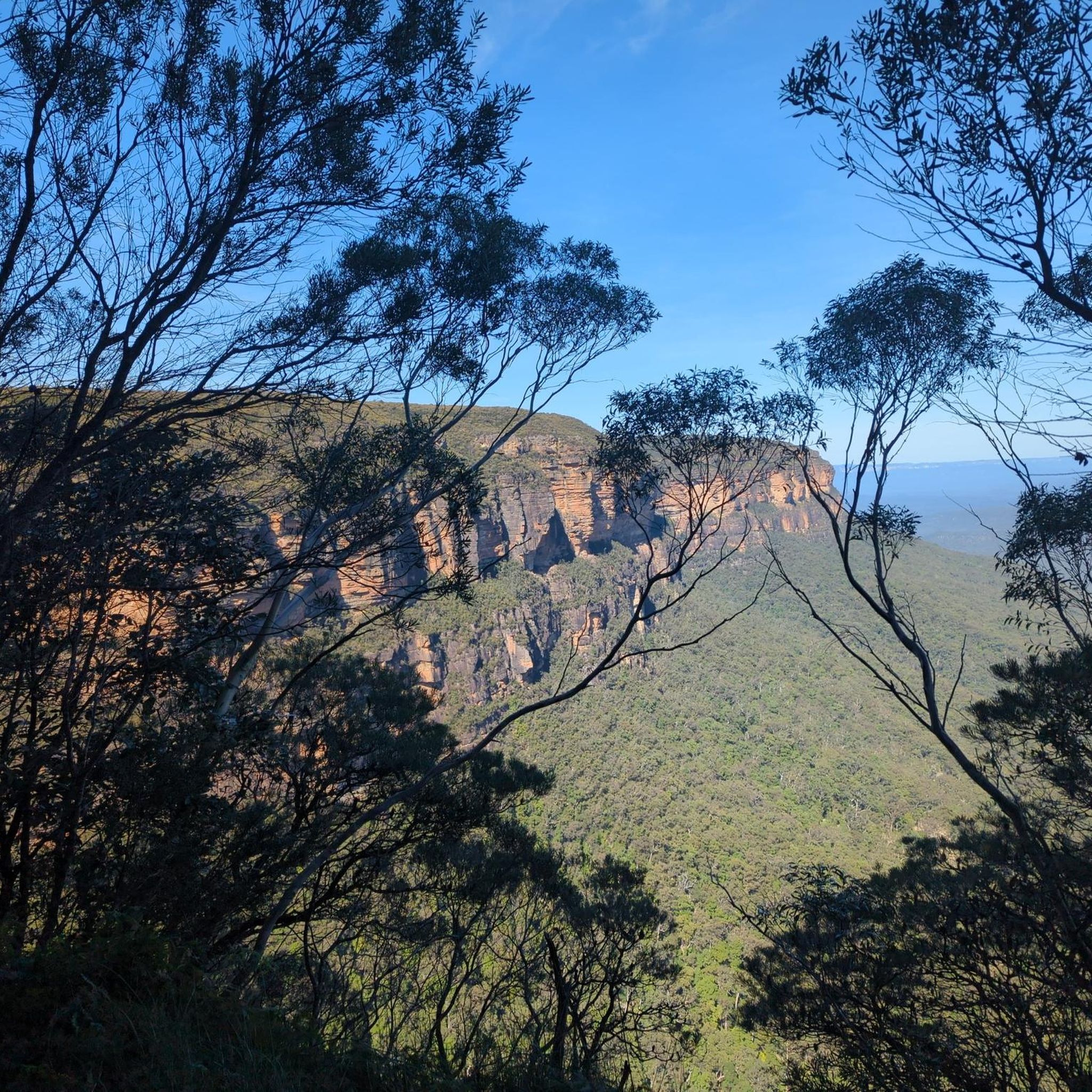


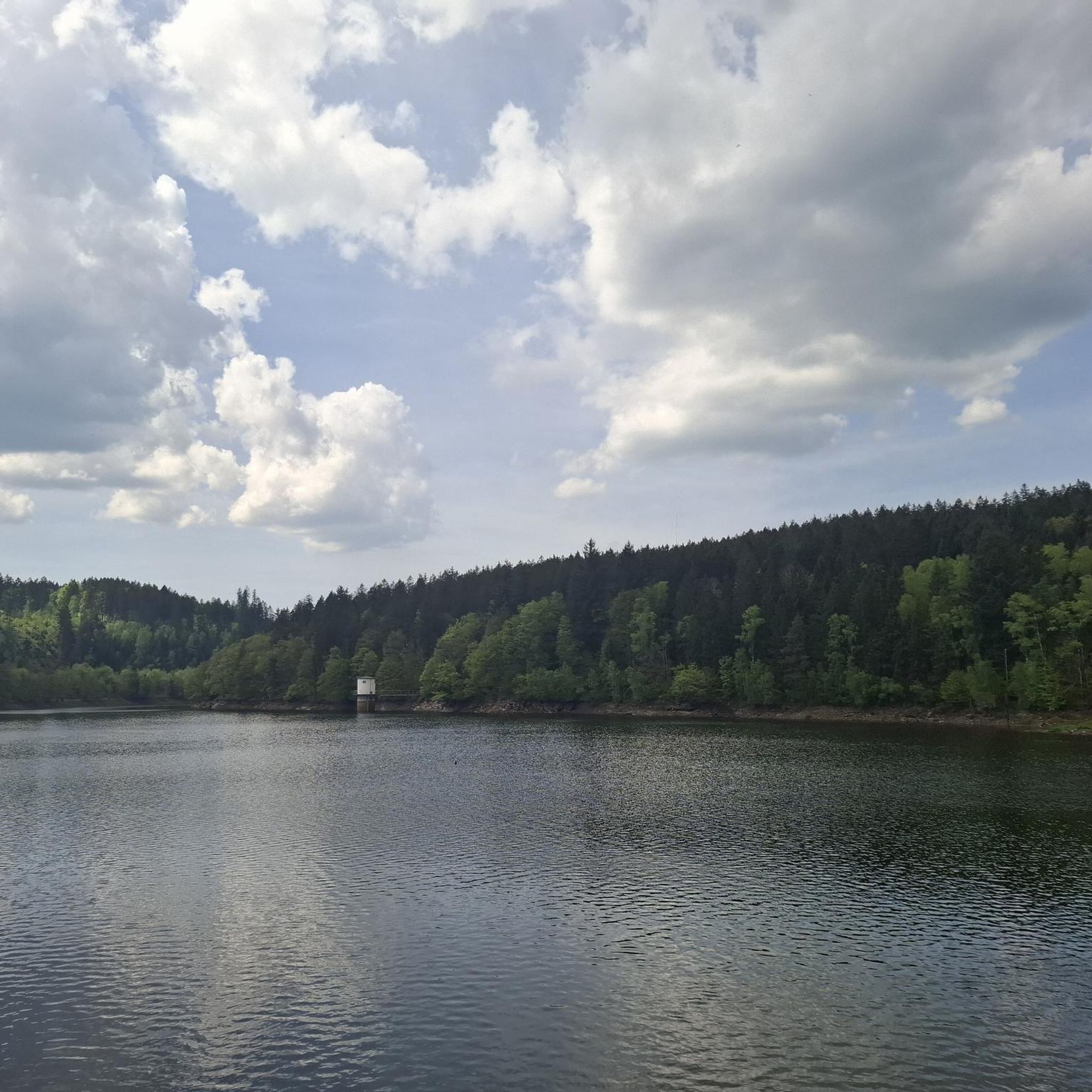
Tips from the Community

Woodford – Oaks trail is a wide fire management road that passes though eucalyptus forests and past streams, watering holes, reservoirs, campsites, picnic areas, and archaeological sites like Bora Ground. The entire trail stretches from Woodford to Glenbrook spanning almost 28 kilometres in total. The trail can be taken as an out and back or, for ambitious bushwalkers and bikers, an end-to-end adventure. The trail starts and ends very close to Woodford and Glenbrook train stations. This area can get hot in summer. During severe heatwaves, temperatures can occasionally soar past 40° C, so plan accordingly.
0
0

This track follows Jamison Creek through a sheltered gully toward the top of Wentworth Falls. The path includes a mix of formed track, boardwalk, and stepping stones, with several small creek crossings along the way. It’s named after Charles Darwin, who visited the area in 1836. Compared to the exposed cliff walks nearby, this section stays shaded and enclosed, with ferns and dense vegetation lining the route.
0
0

Cataract Falls is the largest and most intricate waterfall along the circuit, cascading in several tiers down Cataract Creek. A network of trails provides access to various viewpoints, including a lower plunge pool and a mid-level platform where the water flows over beautiful orange-stained rock slabs. The multiple layers and changing perspectives make this stop particularly captivating, as the water splits and reunites as it descends.
0
0
Adelina Falls is a small waterfall on Lawson Creek, dropping about 15 metres into a sheltered, gully lined with ferns. A short side track leads down to its base, where a footbridge crosses the creek, and the exposed clay beneath the falls gives the rock a distinctive orange tint. The setting feels enclosed and shaded, with water slipping over rock ledges into a quiet pool at the bottom.
0
0


Frequently Asked Questions
What is the general difficulty level of touring cycling routes in Horseshoe Falls Reserve?
Horseshoe Falls Reserve offers a diverse range of touring cycling routes. You'll find options from easy, gentle paths to challenging routes with significant elevation changes. There are 2 easy routes, 1 moderate route, and 4 difficult routes available.
Are there any easy touring cycling routes suitable for beginners or families?
Yes, for those seeking a relaxed ride, the reserve features easy routes. A great option is the Coates Park loop from Hazelbrook, which is 5.5 miles (8.8 km) long with minimal elevation gain, making it suitable for beginners or a family outing.
Are there challenging routes for experienced touring cyclists in Horseshoe Falls Reserve?
Experienced touring cyclists will find several challenging routes. For instance, the The Oaks Trail Water Crossing – Oaks Trail loop from Woodford is a difficult 31.8 miles (51.1 km) path featuring substantial elevation changes and diverse natural landscapes. Another demanding option is the Woodford Oaks Trail – Mountain High Pies loop from Woodford, which covers 36.1 miles (58.1 km) with significant climbs.
Are there circular touring cycling routes available in Horseshoe Falls Reserve?
Many of the touring cycling routes in Horseshoe Falls Reserve are designed as loops, offering a convenient way to start and finish at the same point. Examples include the Coates Park loop from Hazelbrook and the Bodington Hill – Godfreys Hill loop from Woodford.
How long do the touring cycling routes typically take to complete?
The duration varies significantly depending on the route's length and difficulty. An easy route like the Coates Park loop from Hazelbrook can be completed in under an hour (around 47 minutes). More challenging routes, such as the Woodford Oaks Trail – Mountain High Pies loop from Woodford, can take over 5 hours.
What is the best time of year for touring cycling in Horseshoe Falls Reserve?
Horseshoe Falls Reserve is generally enjoyable for touring cycling during most of the year. Spring and autumn offer pleasant temperatures and vibrant scenery. Summer can be warm, so early morning rides are recommended. Winter cycling is possible, but check local conditions for potential wet or cooler weather.
Are there places to eat or get refreshments near the touring cycling routes?
Yes, some routes pass by or near places where you can refuel. For example, the Woodford Oaks Trail – Mountain High Pies loop from Woodford explicitly mentions 'Mountain High Pies' in its name, indicating a potential stop for refreshments along that route.
Can I expect to see wildlife while cycling in Horseshoe Falls Reserve?
Given the reserve's natural bushland and forested areas, there is a good chance of spotting local wildlife. Keep an eye out for native birds and other animals, especially during quieter times of the day.
Do the touring cycling routes offer scenic viewpoints?
The routes traverse varied terrain, including undulating hills and natural bushland, which often provide scenic vistas. While specific named viewpoints are not detailed, the diverse landscapes ensure a visually engaging ride.
What do other touring cyclists enjoy the most about touring cycling in Horseshoe Falls Reserve?
The area is highly rated by the komoot community, with an average score of 5.0 stars. Reviewers often praise the varied terrain, the mix of challenging climbs and gentle paths, and the overall natural beauty of the bushland and forest paths.
Are dogs allowed on the touring cycling routes in Horseshoe Falls Reserve?
Horseshoe Falls Reserve is a natural area, and regulations regarding dogs can vary. It's generally advisable to check with local park authorities for specific rules on dog access, especially regarding whether they need to be on a leash or if certain trails are restricted.
Where can I park my car when visiting Horseshoe Falls Reserve for cycling?
Many routes start from towns like Hazelbrook and Woodford. These locations typically offer public parking facilities suitable for accessing the trails. It's recommended to check specific starting points for available parking options.
Most popular routes in Horseshoe Falls Reserve

Get inspired with the komoot mobile app


Explore more
Browse the best Cycling routes in other regions.
