The best MTB trails in Woronora Special Area
3.0
(1)
142
riders
4
rides
Mountain bike trails in Woronora Special Area traverse a landscape characterized by rugged bushland and deep river valleys, carved into the Hawkesbury Sandstone Woronora Plateau. The region features an extensive network of trails, offering diverse terrain for mountain bikers. These paths often incorporate natural features, providing varied riding experiences across different skill levels.
Best mountain bike trails in Woronora Special Area
- The most popular mountain bike trail is Tunnel Portal loop from Helensburgh, a 10.5 miles (16.9 km) trail…
Last updated: July 4, 2026
5
riders
16.9km
01:30
300m
300m
Moderate mountain bike ride. Good fitness required. Advanced riding skills necessary.
76
riders
22.0km
01:52
200m
200m
Moderate mountain bike ride. Great for any fitness level. Advanced riding skills necessary.

Sign up for free
35
riders
20.6km
01:44
140m
140m
Easy mountain bike ride. Great for any fitness level. Suitable for all skill levels.
8
riders
13.8km
01:29
410m
410m
Hard mountain bike ride. Good fitness required. Advanced riding skills necessary. Some portions of the route may require you to push your bike.
10
riders
32.5km
02:47
550m
550m
Hard mountain bike ride. Good fitness required. Advanced riding skills necessary. Some portions of the route may require you to push your bike.
Our route recommendations are based on thousands of hikes, rides, and runs completed by other people on komoot.
Start today with a free account
Your next adventure awaits.
Login or Signup

Tips from the Community

Audley Visitor Centre and the surrounding picnic area sit right along the Hacking River in the central valley of Royal National Park. The historic precinct includes open lawns, picnic areas, and access to walking and cycling routes through the park. Set along the river near the Audley weir, it is a popular starting point for exploring the park’s bushland and waterways.
0
0

The Karloo Trackhead begins with some interesting signage and art, and then heads into the bush. This track is very popular and easily accessible, with a few bus stops and the Heathcote Train Station just a few steps away.
0
0

Pipeline Trail is a wide maintance road in Heathcote National Park, beginning near the end of Oliver Street and descending steadily into the Woronora valley. The surface is firm and consistent, making it popular for trail running and mountain biking as well as walking. In spring, sections of bushland are dotted with wildflowers. The track follows the Woronora River and passes Lake Eckersley, a calm bend with a sandy edge. Expect sustained climbs on the return, and stay alert for signage near restricted catchment areas.
0
0
Heathcote National Park lies on Sydney’s southern edge and protects rugged sandstone plateaus, forested gorges and coastal-influenced bushland. The park features an extensive network of formed tracks and fire trails, including the popular Pipeline Trail that follows an old water main corridor. The landscape shifts between open eucalypt forest, shaded gullies and cliff-top viewpoints over the Woronora River valley. There is no general entry fee, but facilities are limited, so carry water on longer walks and stay on signed paths.
0
0
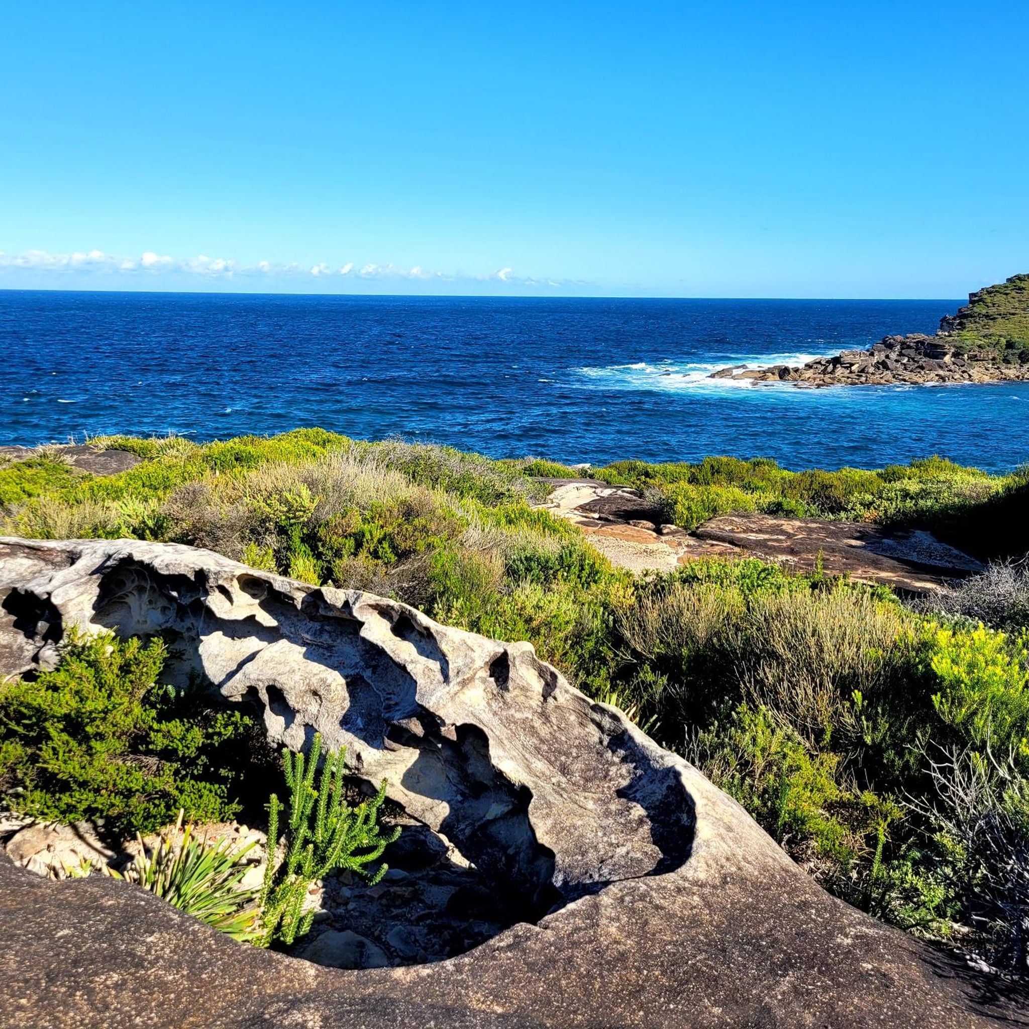
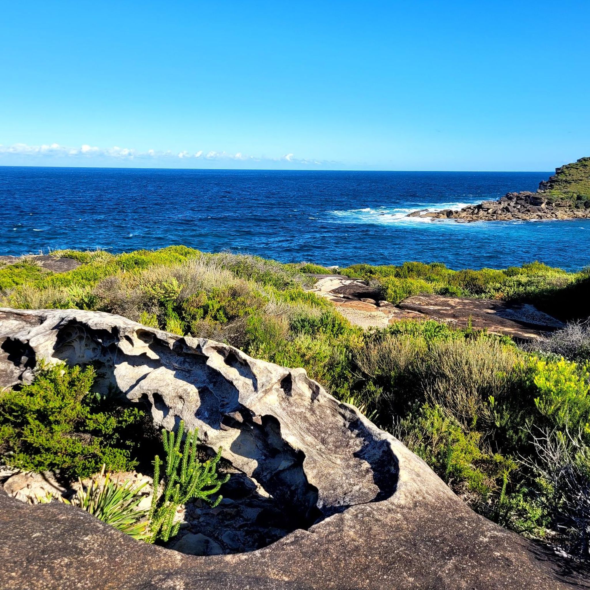
This lookout along the Pipeline Trail offers sweeping views across the Woronora Special Area and its winding waterways below. From the sandstone edge, you can see forested ridgelines stretching into the distance, with the river cutting through the valley floor. The setting feels quiet and remote despite being close to Sydney. There are no barriers at the cliff edge, and the rock surface can be uneven, so approach carefully and keep a safe distance from drop-offs.
0
0

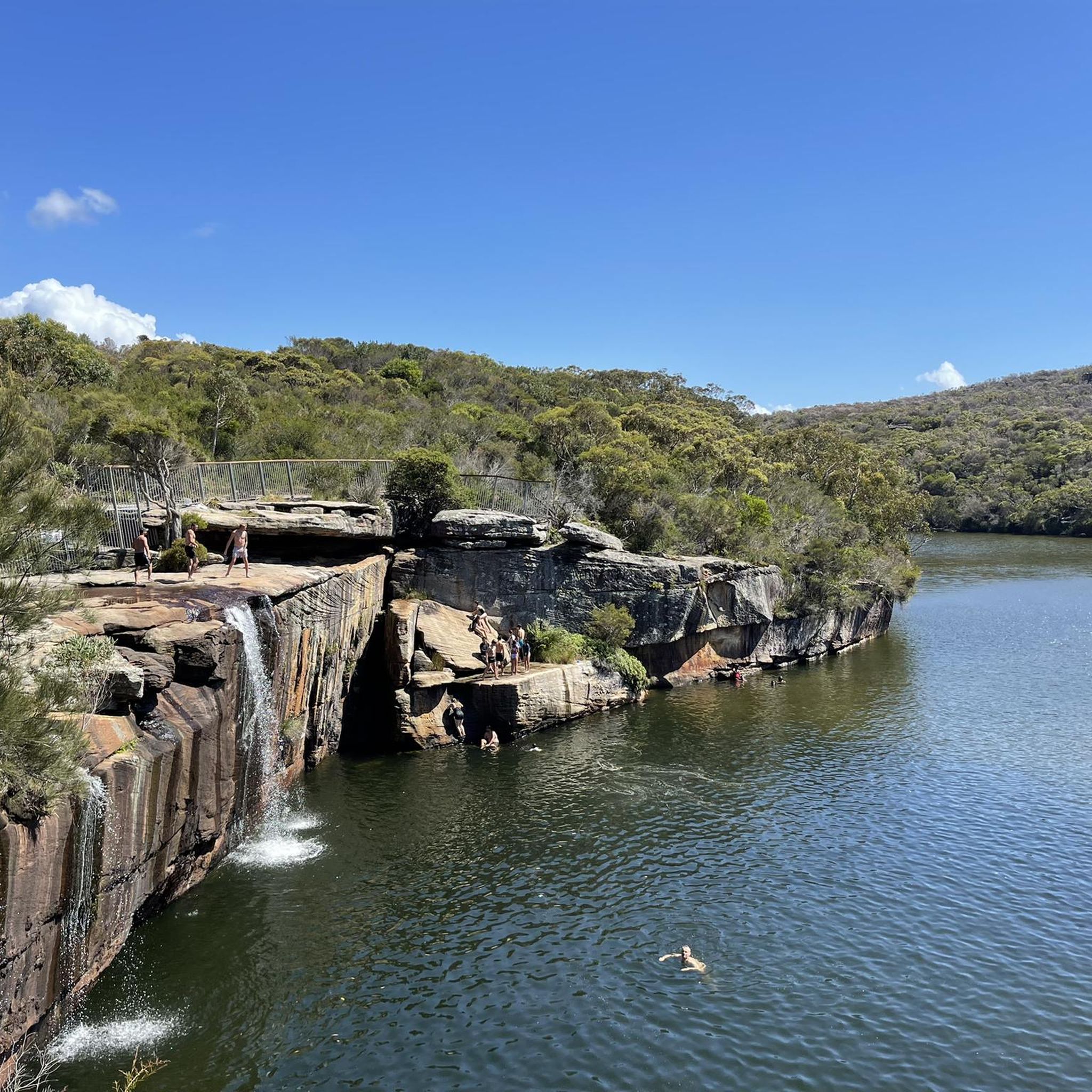
perfect for a stop and a Picknick.. possibility for swimming
0
0
opportunity to Park the car and get some information or food
0
0
Frequently Asked Questions
What kind of mountain biking trails can I expect in the Woronora Special Area?
The Woronora Special Area offers an extensive network of mountain biking trails, ranging from easy to extremely difficult. You'll find diverse terrain incorporating natural features like berms, jumps, drops, rock faces, and rock gardens. The landscape is characterized by rugged bushland and deep river valleys carved into the Hawkesbury Sandstone Woronora Plateau.
Are there mountain bike trails suitable for beginners or families in Woronora?
Yes, the Woronora Special Area has trails suitable for various skill levels, including easy options. For a more relaxed ride, consider the Hacking River loop from The Forest Path, which is an easy 20.6 km path through river valleys and dense bush. Another easy option is the Bellambi Beach – North Beach loop from Thirroul, which is longer at 31.77 km but also rated easy.
Where can I find more challenging mountain bike trails in the Woronora region?
For advanced riders seeking a challenge, the Woronora region offers technical trails with features like steep rolls and rock gardens. The Bulli Colliary Upper Pit Top loop from Austinmer is a difficult 16.4 km route with significant elevation changes, perfect for experienced mountain bikers. Other trails in the area are known for fast, flowy sections and challenging drops.
What are some notable natural features or attractions to see while mountain biking in Woronora Special Area?
While mountain biking in the Woronora Special Area, you'll encounter rugged bushland, stunning rock escarpments, and the serene Woronora River. The area is part of the Hawkesbury Sandstone Woronora Plateau, offering unique geological formations. Although specific highlights directly on the trails aren't provided, the natural beauty of the bushland and river valleys is a constant feature.
Are there any circular mountain bike routes available in the Woronora Special Area?
Yes, several circular mountain bike routes are available. For example, the Tunnel Portal loop from Helensburgh is a moderate 16.9 km trail. Another option is the Engadine Waterhole – Engadine Avenue Wetland loop from Heathcote, a moderate 22.1 km path that explores wetland areas and surrounding bushland.
What is the best season for mountain biking in the Woronora Special Area?
The Woronora Special Area generally offers good mountain biking conditions throughout much of the year. However, it's always advisable to check local weather forecasts, especially during summer months when temperatures can be high, or after heavy rainfall which might affect trail conditions due to the natural terrain and river systems.
What do other mountain bikers enjoy most about the Woronora Special Area?
The Woronora Special Area is highly regarded by the komoot community for its diverse terrain and natural beauty. Riders often praise the extensive network of trails that cater to all skill levels, from easy bushland rides to challenging technical sections with natural features like rock gardens and drops. The rugged bushland and river valleys provide a scenic backdrop for an engaging ride.
Is public transport an option for accessing mountain bike trails in Woronora?
While the Woronora Special Area is primarily accessed by car, some trailheads might be reachable via public transport, particularly those closer to suburban areas like Helensburgh or Heathcote. It's recommended to check local bus or train schedules and routes to specific starting points before planning your trip.
Are there specific regulations or access restrictions I should be aware of when mountain biking in the Woronora Special Area?
The Woronora Special Area is a water catchment area, and some parts have access restrictions to protect water quality. While many mountain biking trails are publicly accessible, it's crucial to respect all signage and local regulations. Activities like fishing, boating, and swimming are prohibited in the Woronora Dam's recreational area, and pets are generally not allowed in strictly protected zones. Always check for current regulations and trail signage.
Are there any cafes or places to eat near the mountain bike trails in Woronora?
The Woronora Special Area is largely natural bushland, so direct access to cafes or eateries along the trails is limited. However, you can find amenities and dining options in nearby towns and suburbs such as Helensburgh, Heathcote, or Engadine, which are typically a short drive from various trail access points.
What kind of wildlife might I encounter on the mountain bike trails?
The rugged bushland of the Woronora Special Area is home to diverse wildlife. You might spot various bird species, including those common to the Australian bush. Animals like koalas and blue-tongue lizards have been observed in nearby parks such as Prince Edward Park. Always ride cautiously and be aware of your surroundings to ensure both your safety and the well-being of the local fauna.
Most popular routes in Woronora Special Area

Get inspired with the komoot mobile app


Explore more
Browse the best MTB trails in other regions.
