The best cycling routes in Hunter Wetlands National Park
4.5
(83)
952
riders
37
rides
Touring cycling routes in Hunter Wetlands National Park primarily traverse flat, low-lying wetland landscapes, characterized by a network of waterways, open marshes, and some forested areas. The terrain is generally level, making it suitable for touring bicycles and offering accessible paths. Many routes utilize converted rail trails and shared-use paths, providing smooth surfaces away from vehicular traffic. The park's environment supports diverse birdlife and offers a tranquil setting for cycling.
Best touring cycling routes in Hunter Wetlands National Park
- The most popular touring cycling route is Former Belmont Station – Fernleigh Track loop from Waratah, a 32.9 miles (52.9 km) trail that takes 3 hours 10 minutes to complete. This route follows a historic rail corridor, offering a mostly flat and scenic ride.
- Another top favourite among local touring cyclists is Fernleigh Track Railway Tunnel – Fernleigh Track Tunnel loop from Waratah, a moderate 15.0 miles (24.1 km) path. This trail features sections of the Fernleigh Track, passing through a railway tunnel and offering views of the surrounding natural environment.
- Local touring cyclists also love the Grandad's Magical Wonderland – Islington Park Shared Path loop from McDonald Jones Stadium, a 12.3 miles (19.8 km) trail leading through parkland and along shared paths, often completed in about 1 hour 9 minutes.
- Touring cycling in Hunter Wetlands National Park is defined by wetland landscapes, converted rail trails, and parkland paths. The network offers options for easy, moderate, and difficult routes, catering to various ability levels.
- The routes in Hunter Wetlands National Park are highly rated by the komoot community with an average score of 4.4 stars from more than 90 reviews. More than 1000 touring cyclists have used komoot to explore Hunter Wetlands National Park's varied terrain.
Last updated: July 17, 2026
4.6
(7)
94
riders
52.2km
03:09
340m
340m
Moderate bike ride. Good fitness required. Mostly paved surfaces. Suitable for all skill levels.
21
riders
Moderate bike ride. Good fitness required. Mostly paved surfaces. Suitable for all skill levels.

Sign up for free
7
riders
Easy bike ride. Great for any fitness level. Mostly paved surfaces. Suitable for all skill levels.
6
riders
27.8km
01:39
90m
90m
Easy bike ride. Great for any fitness level. Mostly paved surfaces. Suitable for all skill levels.
4.5
(17)
158
riders
63.5km
03:45
330m
330m
Moderate bike ride. Good fitness required. Mostly paved surfaces. Suitable for all skill levels.
Get access to more routes and recommendations from other explorers.
Sign up for free
Already have an account?
Our route recommendations are based on thousands of hikes, rides, and runs completed by other people on komoot.
Start today with a free account
Your next adventure awaits.
Login or Signup
Tips from the Community

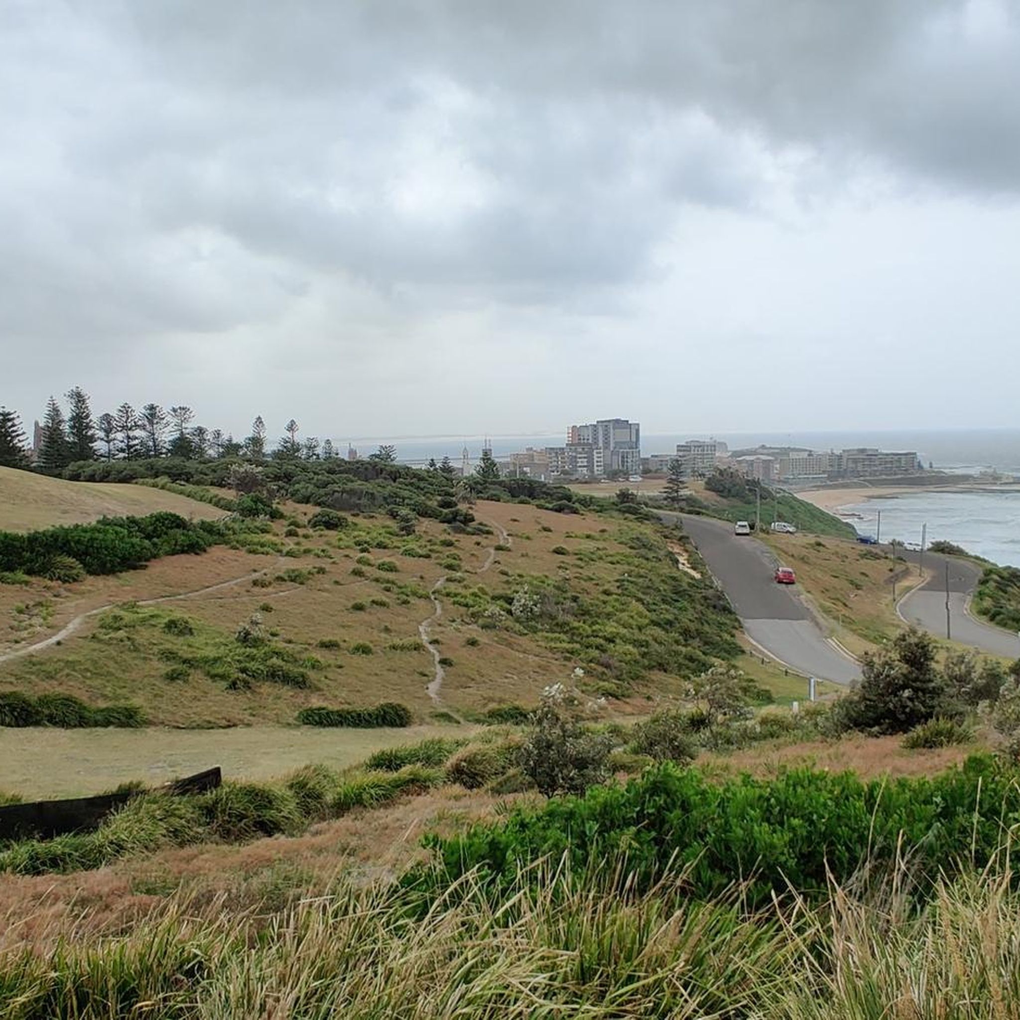
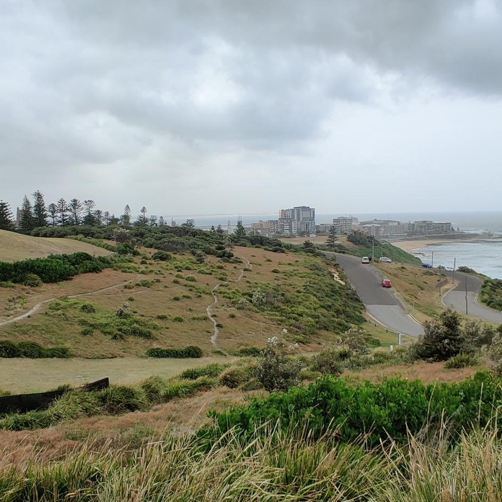
Throsby Creek Cycleway is a lovely, flat pathway that hugs the foreshore of Throsby Creek through Wickham, Maryville, Carrington, and Islington. It's a paved route that passes mangroves, marinas, parks, and tidal wetlands, with beautiful views of the water, and connects with Newcastle's wider network of walking and cycling paths. Its easy grades and waterfront setting make it a great choice for walking, running or cycling away from traffic.
0
0

Throsby Creek is a restored waterway and estuary that was once nearly destroyed by industrialization. These days the creek is lined with shared-use paths, parks, and boardwalks. You can walk or cycle along the paths to nearby cafés, relax on the benches or open fields, enjoy a picnic at a park, or take the kids to a playground to burn off some steam.
0
0

Macquarie Pier forms the breakwall extending from the harbour toward Nobbys Head in Newcastle. Construction began in 1818 under Governor Lachlan Macquarie, originally using convict labour to connect Nobbys Island to the mainland. The structure helped create a safer harbour entrance by stabilising the sand and controlling wave movement.
0
0
This lookout looks directly toward Nobbys Lighthouse at the end of the headland. The perspective from the rocks places the lighthouse against the open ocean, with the breakwall leading your eye toward it. The name “Nobbys” comes from the rounded shape of the headland (originally an island before the breakwall was built), rather than a person. The lighthouse itself is still operational today, continuing to guide vessels entering Newcastle Harbour.
0
0
Lake Macquarie is the largest coastal saltwater lake in Australia, forming a broad, open water body surrounded by suburbs, parkland, and small inlets. From the shoreline, views stretch across long distances of water, often with boats, jetties, and changing light reflecting off the surface. It makes for a beautiful, breezy walk.
1
0
Nobbys Beach is one of Newcastle’s most prominent and accessible beaches, nestled at the entrance to the Hunter River near the iconic Nobbys Head and lighthouse. It’s well known as one of the safer swimming spots in the city, popular with families, beginner surfers, and walkers enjoying the adjacent breakwall and coastal paths. Surrounded by open parkland, benches, picnic areas, and shaded shelters, the beach is a great place to relax and spend the day, with beautiful views of passing ships. It is also a great place to start or finish the Bathers Way coastal walk.
0
0

The Former Belmont Railway Station serves as the terminus for the Fernleigh Track. Here are remnants of the old train tracks, a station platform, and a commemorative sign. This railway was converted into the Fernleigh Track, a rail trail that makes good use of the old corridor. Here you will also find the library and a little food stand to fuel up before or after your adventure.
0
0
The heritage-listed Newcastle Customs House was originally completed in 1877 and was in use as a customs house and other government facility until the 1989 Newcastle Earthquake. The building was heavily damaged during the tremor and was closed until major renovations and other seismic proofing work was completed. The building was reopened in 1995 as the Customs House Hotel.
0
0
Frequently Asked Questions
How many touring cycling routes are available in Hunter Wetlands National Park?
There are over 40 touring cycling routes in Hunter Wetlands National Park, offering a diverse range of experiences for cyclists. These routes are highly rated by the komoot community, with an average score of 4.4 stars.
Are there family-friendly cycling routes in Hunter Wetlands National Park?
Yes, many routes are suitable for families due to the generally flat terrain and use of shared-use paths. An excellent option is the Grandad's Magical Wonderland – Islington Park Shared Path loop from McDonald Jones Stadium, which is an easy 12.3-mile (19.8 km) trail leading through parkland.
What is the best time of year to go cycling in Hunter Wetlands National Park?
The Hunter Wetlands National Park offers pleasant cycling conditions for much of the year. Spring and autumn generally provide milder temperatures, making them ideal for longer rides. The flat terrain means routes are accessible in most weather, though it's always wise to check local forecasts.
Are there any circular cycling routes in the park?
Yes, many of the routes are designed as loops, allowing you to start and finish at the same point. For example, the Former Belmont Station – Fernleigh Track loop from Waratah is a popular 32.9-mile (52.9 km) circular route that follows a historic rail corridor.
Where can I park my car when visiting the cycling trails?
Parking availability varies depending on the specific trailhead you choose. Many routes, especially those utilizing converted rail trails like the Fernleigh Track, have designated parking areas at their access points. It's advisable to check the starting point of your chosen route for specific parking information.
Can I spot wildlife while cycling in Hunter Wetlands National Park?
Absolutely. The park's wetland environment is a haven for diverse birdlife and other native animals. Cycling through the marshes and forested areas provides excellent opportunities for wildlife spotting, particularly birds, in their natural habitat. Keep an eye out, especially during quieter times of the day.
Are there routes suitable for beginner cyclists?
Yes, the park features 18 easy routes, making it very welcoming for beginners. These routes typically traverse flat, low-lying wetland landscapes and utilize smooth, shared-use paths. The Newcastle Waterfront Boardwalk – Nobbys Lighthouse loop from Jesmond is an easy 17.5-mile (28.2 km) option with minimal elevation gain.
What kind of terrain can I expect on the cycling routes?
The terrain in Hunter Wetlands National Park is predominantly flat and low-lying, characterized by wetlands, open marshes, and some forested sections. Many routes follow converted rail trails and shared-use paths, providing smooth surfaces ideal for touring bicycles and offering a tranquil setting away from vehicular traffic.
Are there any challenging routes for experienced cyclists?
While the park is known for its generally flat terrain, there are 8 difficult routes for those seeking more of a challenge, alongside 16 moderate options. These routes might cover longer distances or include more varied surfaces. For a moderate ride, consider the Fernleigh Track Railway Tunnel – Fernleigh Track Tunnel loop from Waratah, which is 15.0 miles (24.1 km) long.
What do other touring cyclists enjoy most about cycling in Hunter Wetlands National Park?
The area is highly rated by the komoot community, with an average score of 4.4 stars from over 90 reviews. Reviewers often praise the tranquil wetland scenery, the well-maintained rail trails, and the abundance of birdlife. Many appreciate the accessible, mostly flat paths that make for enjoyable touring cycling.
Are there places to eat or drink along the cycling routes?
While the routes themselves often pass through natural areas, many start or finish near towns or urban centers where cafes, restaurants, and other amenities are available. For longer rides, it's advisable to carry your own snacks and water, especially on sections that are more remote. The Former Belmont Station – Fernleigh Track loop from Honeysuckle Light Rail, for instance, connects to areas with facilities.
Most popular routes in Hunter Wetlands National Park

Get inspired with the komoot mobile app


Explore more
Browse the best Cycling routes in other regions.
