The best running trails in Romsdalen Landskapsvernområde
4.8
(4)
375
runners
19
runs
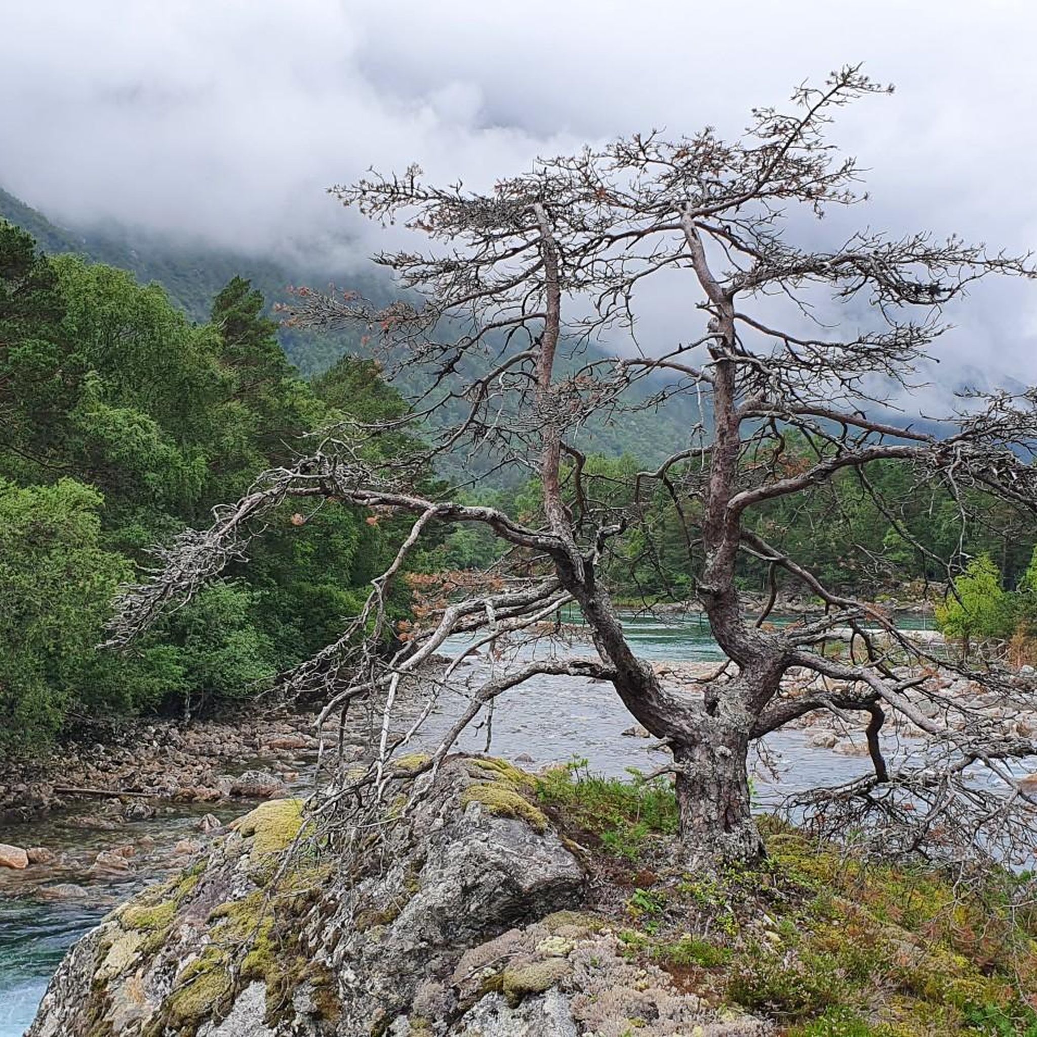
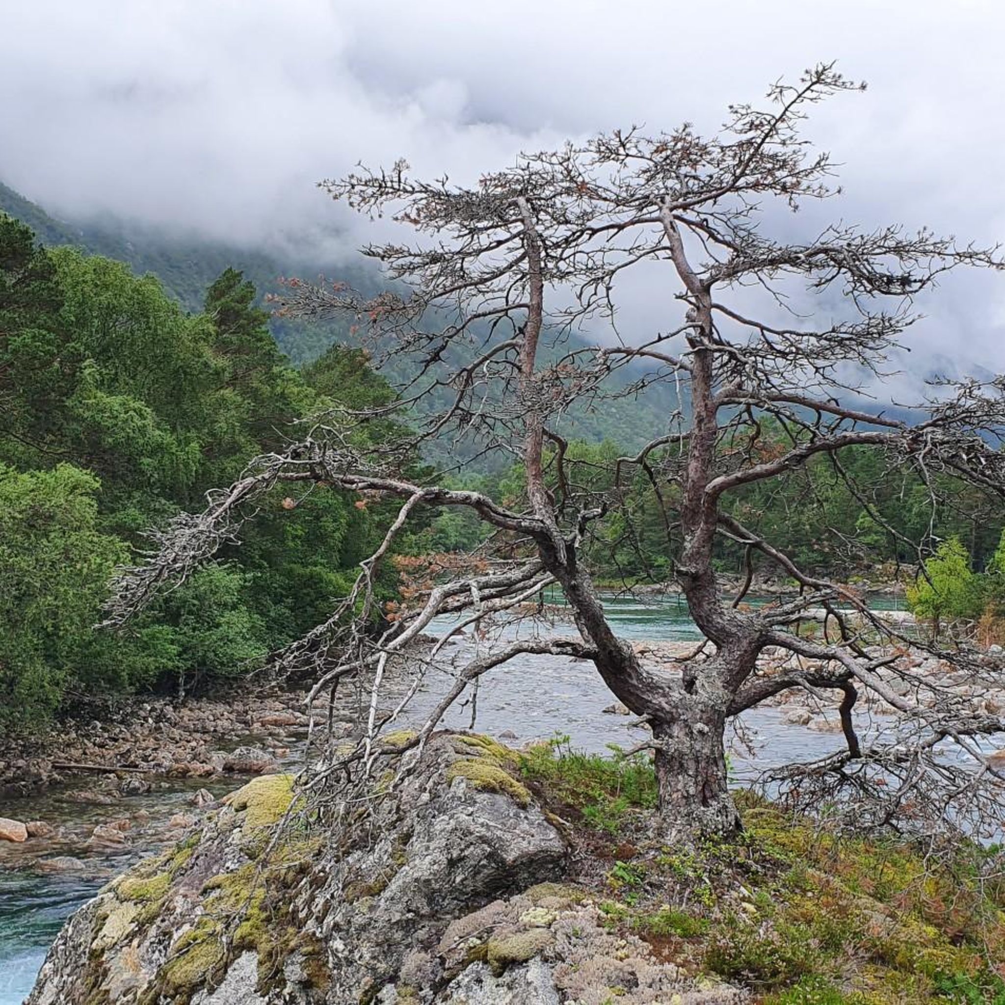
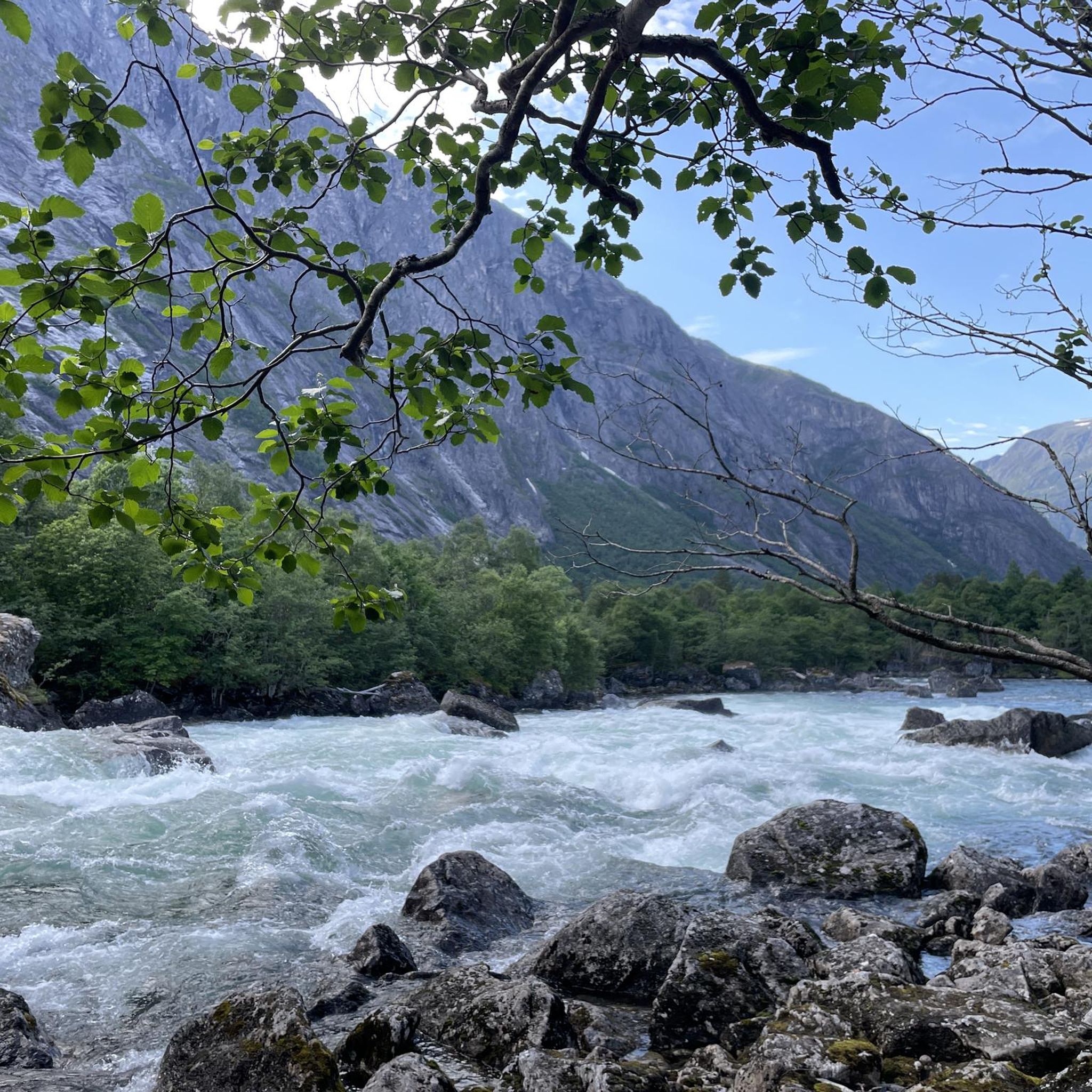
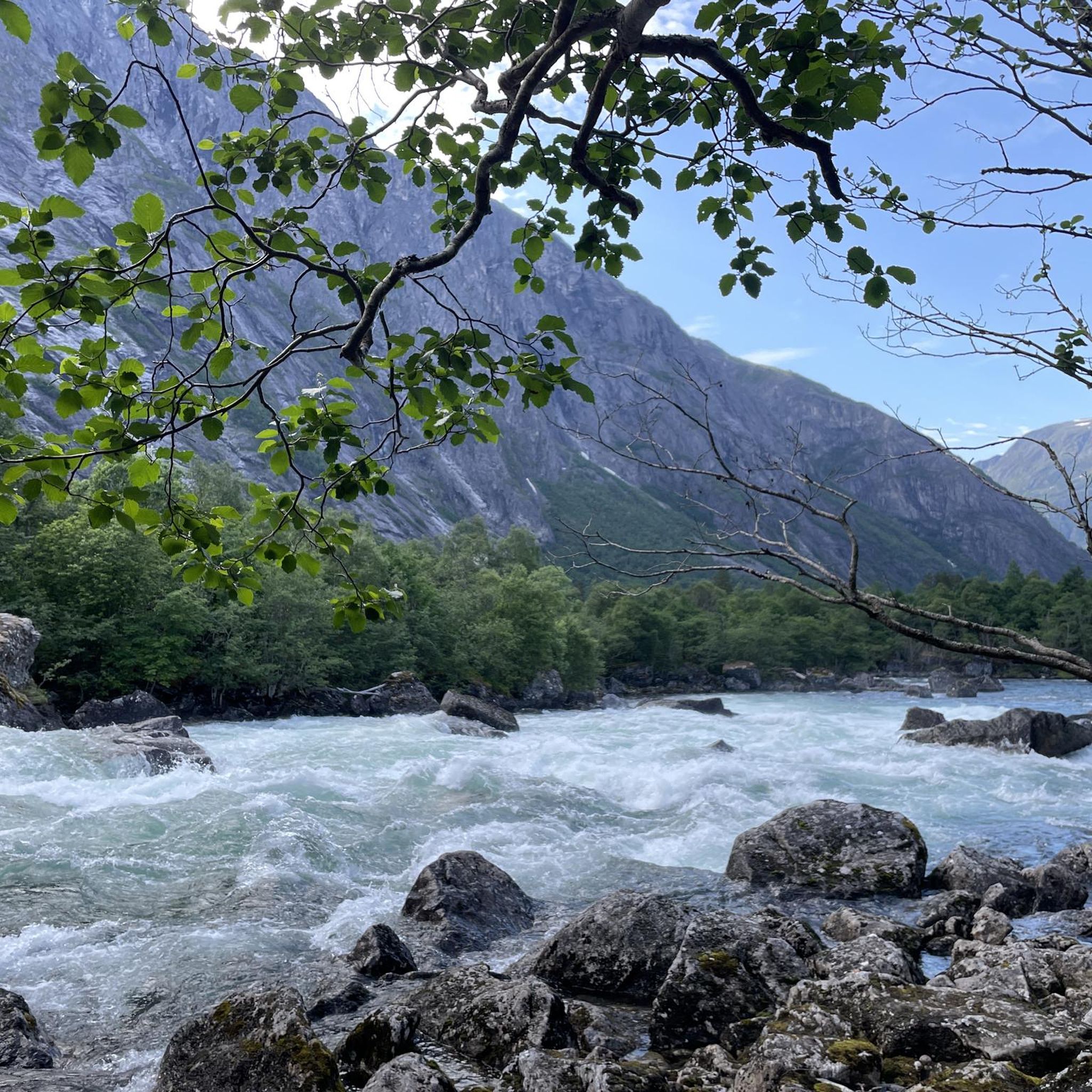
Jogging routes in Romsdalen Landskapsvernområde traverse a landscape characterized by dramatic mountains, deep valleys, and the winding Rauma River. The region features a diverse terrain, ranging from gentle hills and forests to more rugged mountain environments. Runners can experience paths alongside fjords, through lush pinelands, and near towering peaks that define this protected area.
Best jogging routes in Romsdalen Landskapsvernområde
- The most popular jogging route is Norafjellet loop from Brekka, a 3.9 miles (6.3 km) trail that takes 1…
Last updated: July 10, 2026
10
runners
6.22km
01:49
930m
930m
Hard run. Very good fitness required. Mostly paved surfaces. Suitable for all skill levels.
21
runners
8.92km
00:57
120m
120m
Moderate run. Good fitness required. Mostly paved surfaces. Suitable for all skill levels.

Sign up for free
17
runners
15.2km
01:44
180m
180m
Hard run. Very good fitness required. Mostly paved surfaces. Suitable for all skill levels.
24
runners
Moderate run. Good fitness required. Mostly paved surfaces. Suitable for all skill levels.
8
runners
4.90km
00:31
60m
60m
Easy run. Great for any fitness level. Mostly paved surfaces. Suitable for all skill levels.
Get access to more routes and recommendations from other explorers.
Sign up for free
Already have an account?
Our route recommendations are based on thousands of hikes, rides, and runs completed by other people on komoot.
Start today with a free account
Your next adventure awaits.
Login or Signup

Tips from the Community

The museum has a modern exhibition that tells the history and development of mountaineering in a variety of ways. You can also touch and try out the equipment. The indoor climbing wall has 60 climbing routes spread over 20 anchor points. The café has space for 100 people indoors, with additional seating outside.
1
0

Museum of Norwegian Mountain Sports as well as the visitor center for Reimheimen National Park. There is also a small restaurant.
0
0


Nice little promenade with tourist information, gondola and playground.
0
0
You can rent SUP at the campsite. The river Istra, which flows into the Rauma, is very beautiful to explore
0
0

The camp is a perfect starting point for tours to the viewing platform or for various hiking trails. Just really worth seeing and a great place. Thank you 🙏
0
1

A nice taster on the way to or from the Trollstigen Road. Great panorama and off the main road! There are no tourist buses there; you'll meet them again on the main road.
0
0
Frequently Asked Questions
How many running routes are available in Romsdalen Landskapsvernområde?
There are over 15 dedicated running routes in Romsdalen Landskapsvernområde listed on komoot, offering a variety of experiences for all fitness levels.
Are there running routes suitable for beginners or those looking for an easy jog?
Yes, Romsdalen offers several easier options. Routes along the Rauma River, such as the "Sandy Beach by the River – Rauma River Rapids loop" and the "Rauma River Rapids – Camping Trollveggen loop" (mentioned in region research), provide tranquil stretches with minimal elevation. The Istra River Bridge loop from Grytten kirke is another moderate option, covering 5 km with gentle elevation changes.
What kind of terrain can I expect on the jogging trails in Romsdalen Landskapsvernområde?
The region boasts a diverse terrain, from gentle hills and forests in the north and west to wild mountain landscapes in the east and south. You'll find paths alongside the Rauma River, through lush pinelands, and near towering peaks. Some routes feature flat mountain plateaus, while others offer more challenging ascents.
Are there any challenging running routes for experienced runners?
Absolutely. For those seeking a challenge, the Norafjellet loop from Brekka is a difficult 6.3 km route with significant elevation gain, perfect for a demanding mountain run. Another difficult option is the Trollstigen Troll Statue – Scenic Countryside Pathway loop from Nes, which spans over 16 km.
What notable landmarks or viewpoints can I see while running in Romsdalen Landskapsvernområde?
Romsdalen is famous for its dramatic scenery. You can expect views of iconic peaks like Trolltindene, Trollveggen, Romsdalshorn, and Vengetind. The Rauma River carves through the valley, offering scenic riverside paths. While not directly on a running route, the Romsdalseggen Ridge and Rampestreken viewing point offer breathtaking panoramic views of the fjords and mountains, accessible via nearby hikes.
Are there any loop running routes available?
Yes, many of the running routes in Romsdalen Landskapsvernområde are designed as loops. Examples include the challenging Norafjellet loop from Brekka, the moderate Istra River Bridge loop from Mjelva, and the Norsk Tindesenter – Byparken Community Garden loop from Grytten kirke, which takes you through cultural landscapes.
What do other runners enjoy most about jogging in Romsdalen Landskapsvernområde?
The area is highly rated by the komoot community, with an average score of 4.8 stars from over 3 reviews. Runners often praise the dramatic mountain backdrops, the serene river valleys, and the varied forest paths that offer options for different ability levels, from moderate riverside runs to more challenging mountain ascents.
Is Romsdalen Landskapsvernområde suitable for family-friendly running or walking?
Yes, the diverse terrain includes gentler paths suitable for families. While specific 'family-friendly' running routes aren't highlighted in the data, the easier, shorter loops along the Rauma River or the Istra River provide accessible options for a leisurely jog or walk with children.
What is the best time of year for running in Romsdalen Landskapsvernområde?
The best time for running is generally during the warmer months, from late spring to early autumn (May to September), when trails are clear of snow and the weather is milder. This allows for full access to the diverse terrain, from valley paths to higher mountain trails. Always check local weather conditions before heading out.
Are there any running routes that pass by waterfalls?
Romsdalen is known for its cascading waterfalls that connect the mountains to the fjords. While specific running routes directly passing major named waterfalls aren't detailed, the general landscape features numerous waterfalls, especially in the deep, narrow valleys. Running along the Rauma River, you'll likely encounter many smaller cascades and scenic water features.
Are there options for public transport to access the running trails?
Åndalsnes, located within the region, is a key hub and accessible by train (Rauma Line) and bus. From Åndalsnes, local transport or short drives can connect you to various trailheads. For example, the Romsdalen Gondola from Åndalsnes provides easy access to Nesaksla mountain, which can be a starting point for runs with fantastic views.
Is parking available near the running routes?
Yes, parking is generally available near popular trailheads and access points throughout Romsdalen Landskapsvernområde. Specific parking details for each route are often provided on individual komoot tour pages, but you can expect designated areas in villages like Mjelva, Grytten kirke, and near attractions like Trollstigen.
Most popular routes in Romsdalen Landskapsvernområde

Get inspired with the komoot mobile app


Explore more
Browse the best Running Trails & Routes in other regions.
