The best cycling routes in Krokskogen Naturreservat
4.5
(17)
315
riders
17
rides
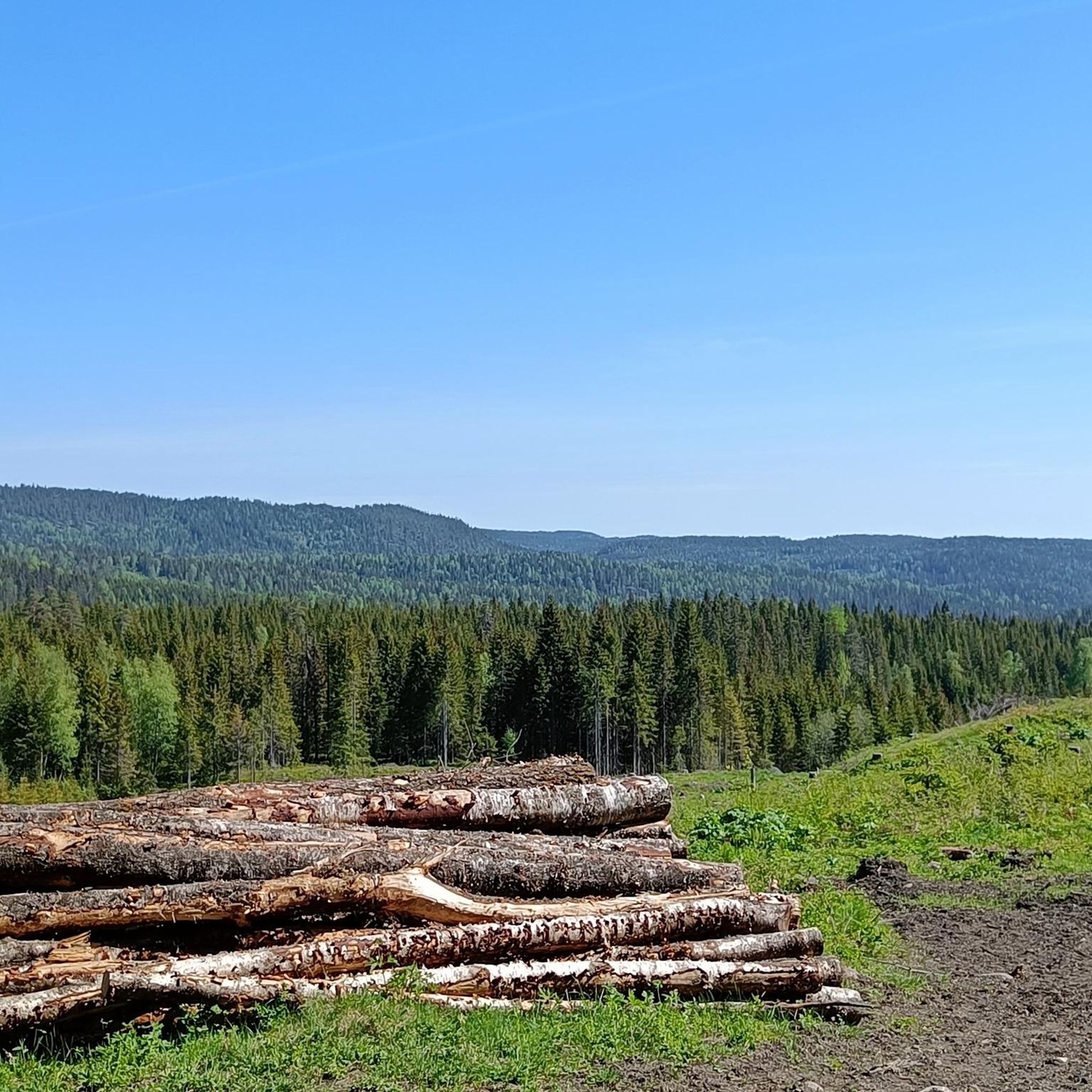
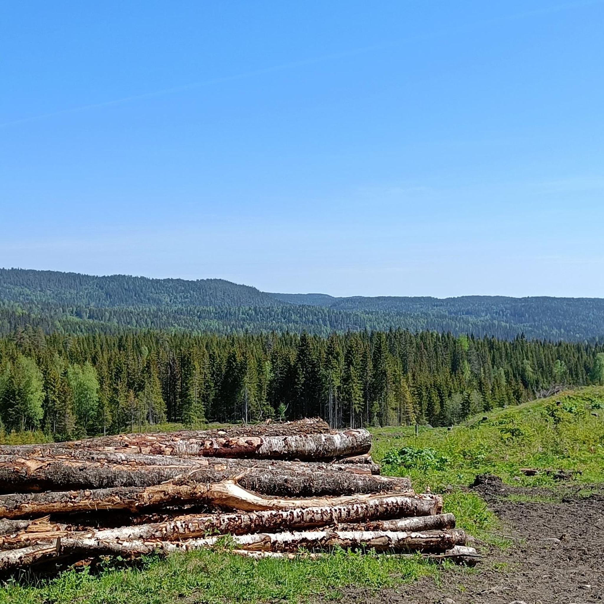
Touring cycling in Krokskogen Naturreservat offers diverse landscapes within a wooded and hilly area. The region is characterized by dense forests, significant elevation changes, and striking geological features such as the Mørkgonga Gorge. High points like Gyrihaugen (682 m) and Oppkuven (704 m) provide expansive views over the surrounding terrain. The area's varied topography includes a mix of paved and unpaved surfaces, catering to different cycling preferences.
Best touring cycling routes in Krokskogen Naturreservat
- The most popular touring cycling route…
Last updated: July 10, 2026
5.0
(1)
23
riders
48.2km
04:26
710m
710m
Hard bike ride. Very good fitness required. You may need to push your bike for some segments of this route.
9
riders
54.5km
05:10
720m
710m
Hard bike ride. Very good fitness required. You may need to push your bike for some segments of this route.

Sign up for free
3.7
(6)
32
riders
Moderate bike ride. Good fitness required. Mostly paved surfaces. Suitable for all skill levels.
6
riders
31.2km
02:07
440m
440m
Moderate bike ride. Good fitness required. Mostly paved surfaces. Suitable for all skill levels.
14
riders
Hard bike ride. Very good fitness required. Mostly paved surfaces. Suitable for all skill levels.
Get access to more routes and recommendations from other explorers.
Sign up for free
Already have an account?
Our route recommendations are based on thousands of hikes, rides, and runs completed by other people on komoot.
Start today with a free account
Your next adventure awaits.
Login or Signup

Tips from the Community

Kadettangen is one of Bærum’s most popular waterfront recreation areas, known for its sandy beach, swimming facilities and open green spaces. The diving platform is a favourite summer attraction, offering a refreshing way to enjoy the clear waters of the Oslofjord.
0
0
Completed in 1926 and later expanded, Bærum Town Hall is one of Sandvika’s most distinctive public buildings. Outside, you’ll find Friheten (“Freedom”), Arnold Haukeland’s striking equestrian sculpture, which has become a local landmark and an important example of modern Norwegian public art.
0
0

Friendly staff, good food, just a very nice place to rest after a ride. Includes a splash in the lake or sauna inhouse. Staying a night or two makes totally sense since Nordmarka is an endless gravel paradise
0
0

This small dam bridges the connection between Storflåtan and Vesleflåtan.
1
0
A narrow path along the Sandvikselva river. The banks and the riverbed are still in their natural state here.
0
0

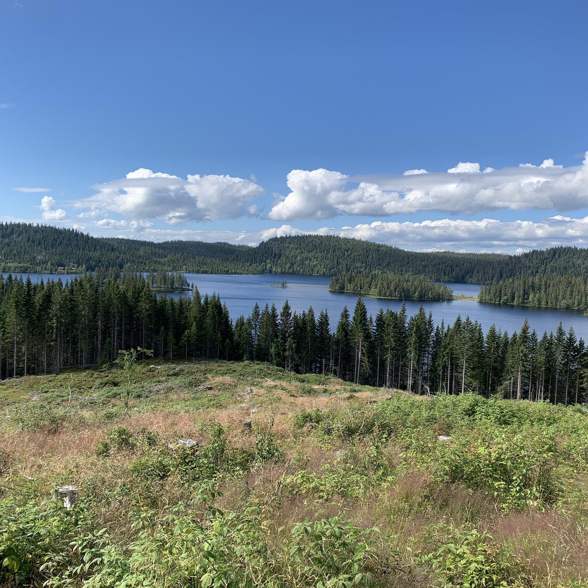
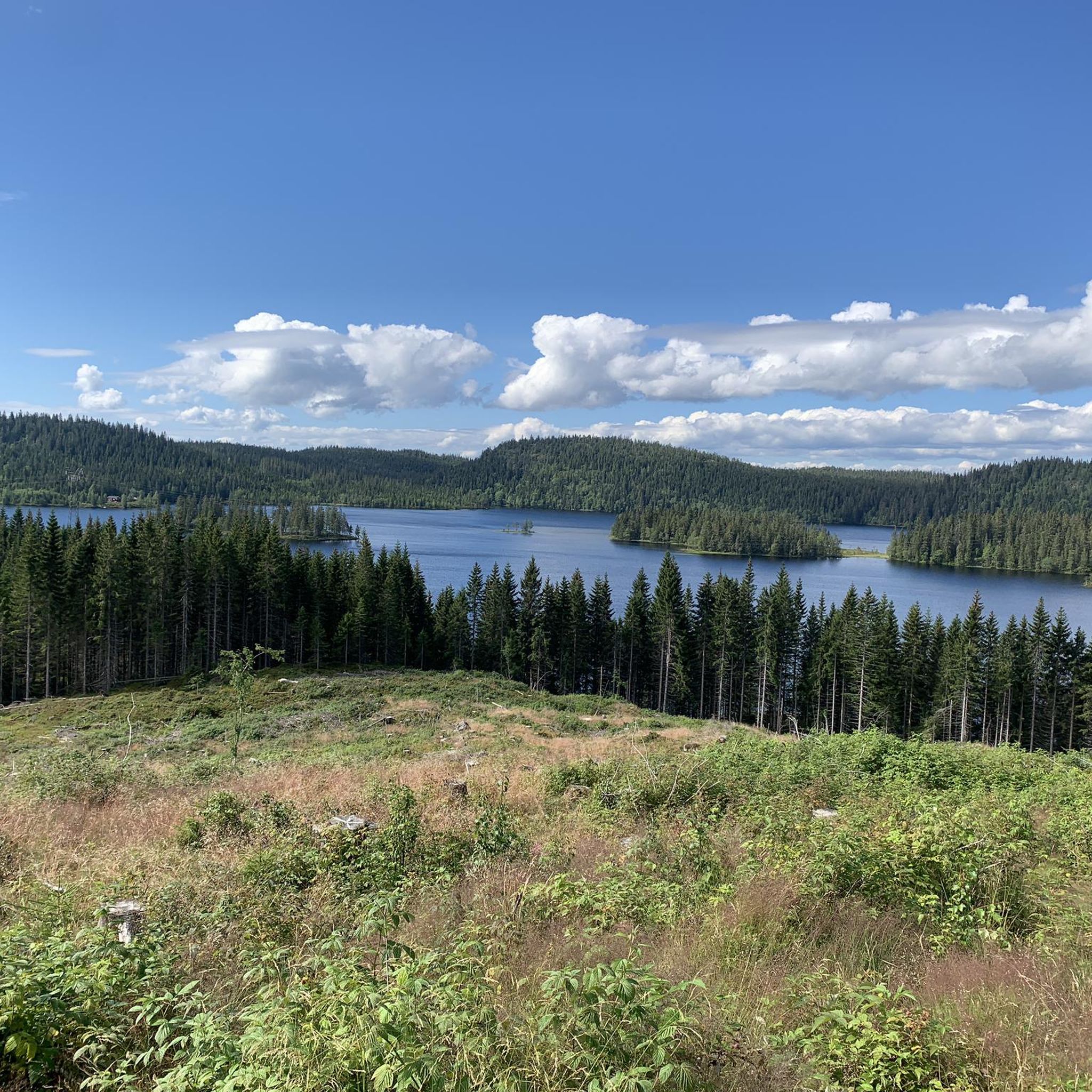
Damtjern is a scenic highland lake that serves as a major gateway to the surrounding wilderness. The lake is nestled within a dense forest of spruce and pine, characterized by its calm waters and rugged, rocky shoreline.
0
0

Railway overpass Jongsåsveien - near Slependen train station.
0
0

Frequently Asked Questions
What kind of terrain can I expect when touring cycling in Krokskogen Naturreservat?
Krokskogen Naturreservat features a diverse landscape with dense forests, hilly terrain, and significant elevation changes, ranging around 500-600 meters above sea level. You'll encounter a mix of paved and unpaved surfaces. While some routes are mostly paved, others include unpaved segments that can be challenging and may require pushing your bike.
Are there touring cycling routes suitable for beginners or those looking for an easier ride?
Yes, Krokskogen Naturreservat offers routes for various skill levels. For an easier option, consider the Damtjern – Storflåtan Lake loop from Damtjern, which is 8.7 miles (14.0 km) long and takes about 1 hour 16 minutes to complete, leading through forest and past Storflåtan Lake.
What are some notable natural features or landmarks I might see while cycling in the area?
The reserve is rich in natural beauty. You might encounter striking geological formations like the Mørkgonga Gorge, a deep crack within the lava plate. High points such as Gyrihaugen (682 m) and Oppkuven (704 m) offer expansive views. The area also features diverse coniferous and old-growth forests, stream valleys, and marsh ponds.
How many touring cycling routes are available in Krokskogen Naturreservat?
There are 18 touring cycling routes available in Krokskogen Naturreservat on komoot. These include 2 easy, 7 moderate, and 9 difficult options, catering to a wide range of cycling abilities.
What do other touring cyclists enjoy most about cycling in Krokskogen Naturreservat?
The area is highly rated by the komoot community, with an average score of 4.6 stars from 17 reviews. Cyclists often praise the diverse landscapes, from ancient forests and volcanic features to panoramic views and serene water bodies, as well as the variety of routes available for different skill levels.
Are there any cafes or places to stop for refreshments along the cycling routes?
Yes, some popular routes pass by cafes. For instance, the Storflåtan Lake – Sørkedalen General Store & Café loop from Damtjern includes a stop at Sørkedalen General Store & Café. Another route, Kikutstua – Kikutstua Café loop from Damtjern, features the Kikutstua Café.
Can I find circular touring cycling routes in Krokskogen Naturreservat?
Yes, many of the touring cycling routes in Krokskogen Naturreservat are designed as loops. Examples include the Kikutstua – Kikutstua Café loop from Damtjern and the Sørkedalen General Store & Café – Forest Stream in Nordmarka loop from Sørkedalen, offering convenient starting and ending points.
What are the elevation challenges like for touring cyclists in Krokskogen Naturreservat?
Elevation gains vary significantly across the routes. While some easier rides have less than 500 feet of elevation gain, more challenging routes can involve over 1500 feet, requiring very good fitness. For example, the Kikutstua – Kikutstua Café loop from Damtjern has an elevation gain of over 900 meters.
Is it possible to reach Krokskogen Naturreservat by public transport with a bicycle?
While Krokskogen Naturreservat is part of Oslomarka, which is generally accessible by public transport, specific rules for carrying bicycles on buses or trains to the reserve's entry points can vary. It's advisable to check with local public transport providers (e.g., Ruter in the Oslo region) for their current policies regarding bicycle transport.
Are there any historical routes or paths I can cycle in Krokskogen Naturreservat?
Yes, the old King's Road (Ringeriksveien), opened in 1805, is a significant historical route. It once served as a main connection from Oslo to Ringerike and is now a cultural heritage site where cycling is permitted on existing roads, though motorized traffic is forbidden between Sundvollen and Kleivstua.
What kind of wildlife or flora might I encounter while cycling?
Krokskogen Naturreservat is important for its biological diversity. You might spot rich bird and animal life within its large, continuous old-growth forest areas. The flora includes diverse coniferous and broad-leaved trees, and a rich and interesting lichen flora, such as lung lichen and the environmental indicator *huldrestry*.
What is the best time of year to go touring cycling in Krokskogen Naturreservat?
The best time for touring cycling in Krokskogen Naturreservat is typically during the warmer months, from late spring through early autumn, when trails are clear of snow and ice. This period offers pleasant temperatures and the full beauty of the forest and water features. Always check local weather conditions before you go.
Most popular routes in Krokskogen Naturreservat

Get inspired with the komoot mobile app


Explore more
Browse the best Cycling routes in other regions.
