The best MTB trails in Semsvannet Landskapsvernområde
4.7
(36)
341
riders
68
rides
Mountain bike trails in Semsvannet Landskapsvernområde traverse a diverse landscape featuring the central Semsvannet lake, coniferous forests to the north, and an agricultural landscape with fields and wooded areas to the south. The area offers a mix of paved and unpaved surfaces, gravel roads, and paths through the forest, catering to various skill levels. Riders can explore a cultural landscape with old farms and grazing animals, alongside natural attractions like the Tveiterfossen waterfall. The varied terrain provides both scenic beauty…
Last updated: July 10, 2026
2
riders
Hard mountain bike ride. Good fitness required. Advanced riding skills necessary. Some portions of the route may require you to push your bike.
4.0
(1)
11
riders
35.9km
02:22
430m
430m
Moderate mountain bike ride. Good fitness required. Suitable for all skill levels.

Sign up for free
5.0
(1)
10
riders
22.1km
01:58
390m
390m
Moderate mountain bike ride. Good fitness required. Advanced riding skills necessary.
9
riders
34.2km
03:05
650m
650m
Hard mountain bike ride. Good fitness required. Advanced riding skills necessary. Some portions of the route may require you to push your bike.
10
riders
17.4km
01:32
270m
270m
Moderate mountain bike ride. Great for any fitness level. Advanced riding skills necessary.
Get access to more routes and recommendations from other explorers.
Sign up for free
Already have an account?
Our route recommendations are based on thousands of hikes, rides, and runs completed by other people on komoot.
Start today with a free account
Your next adventure awaits.
Login or Signup
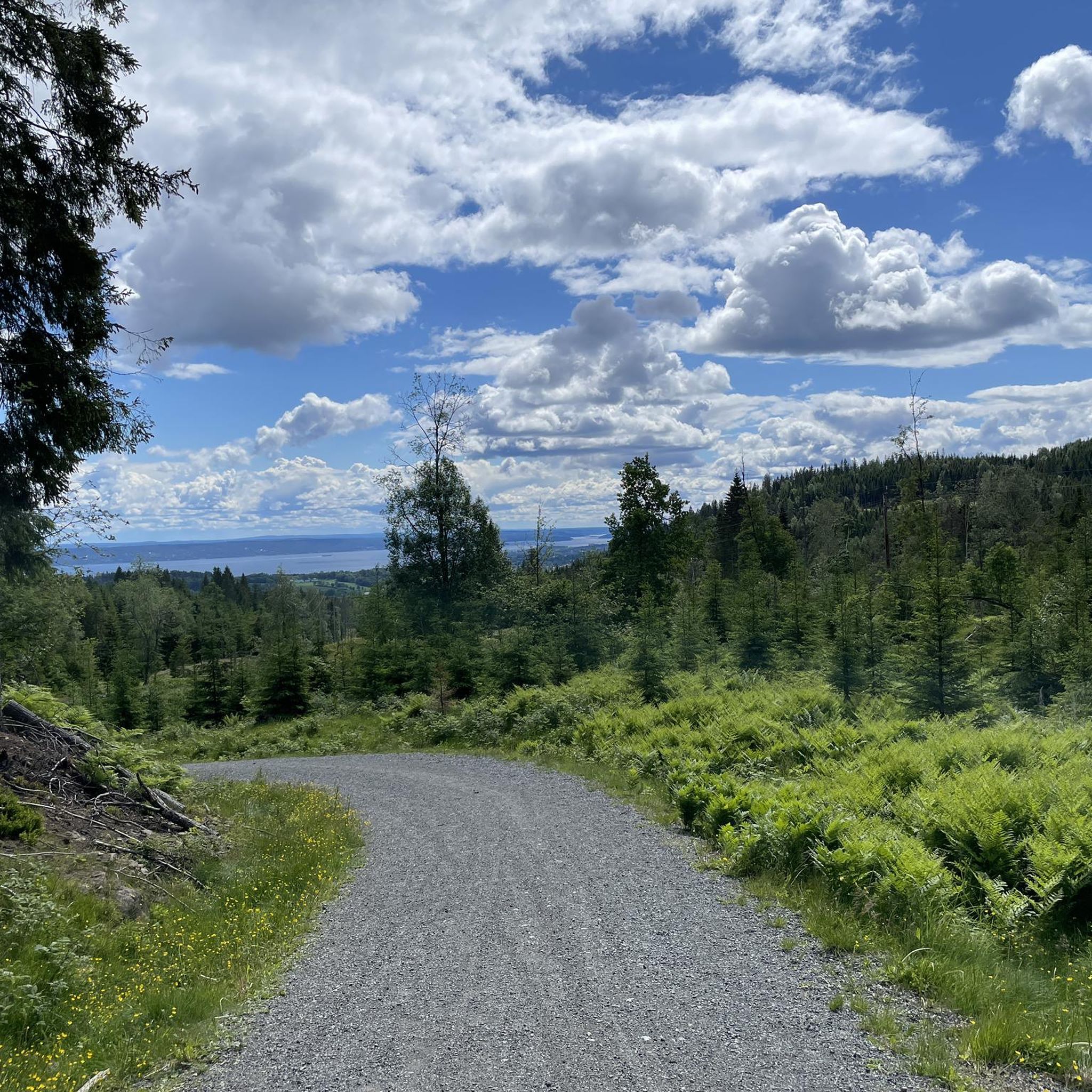
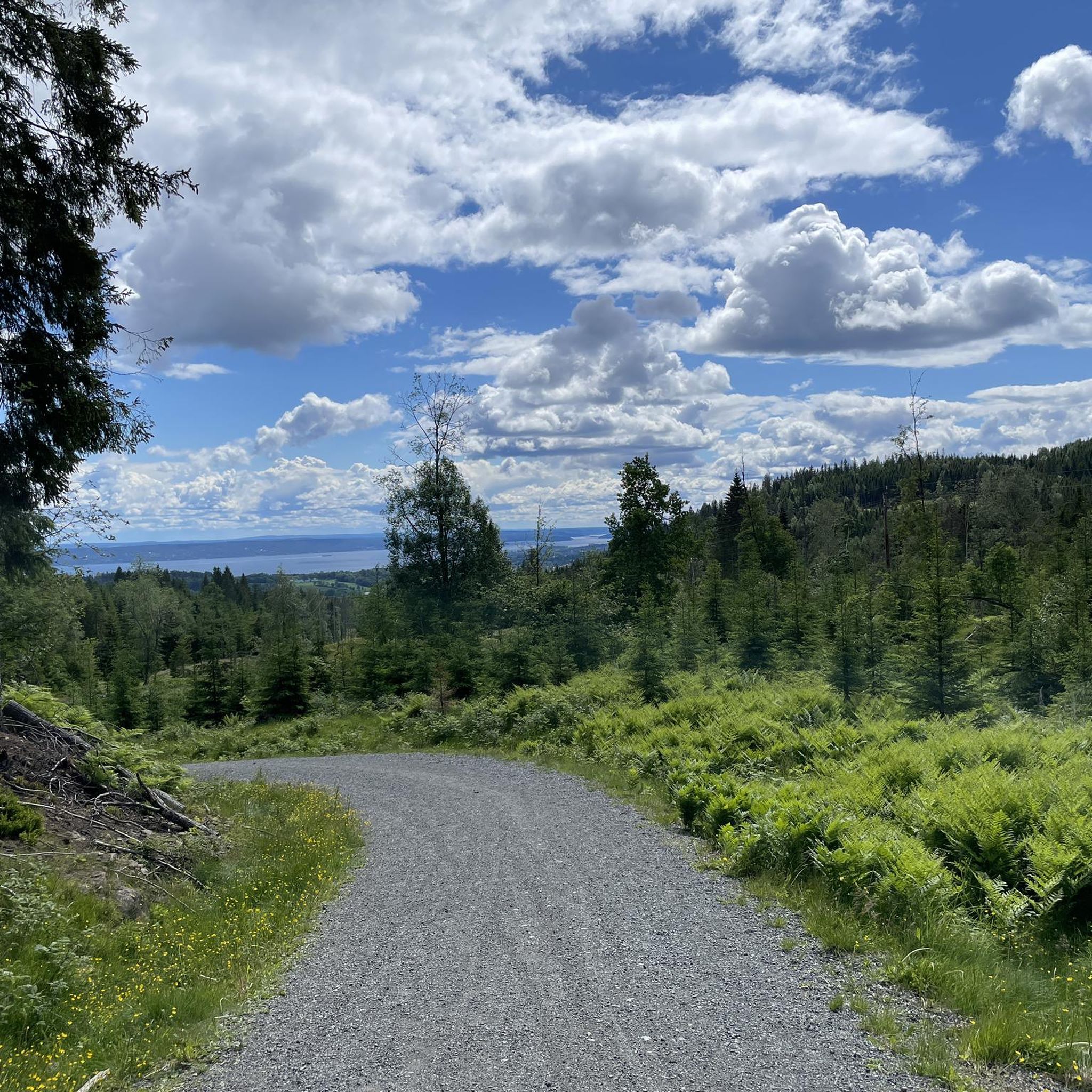
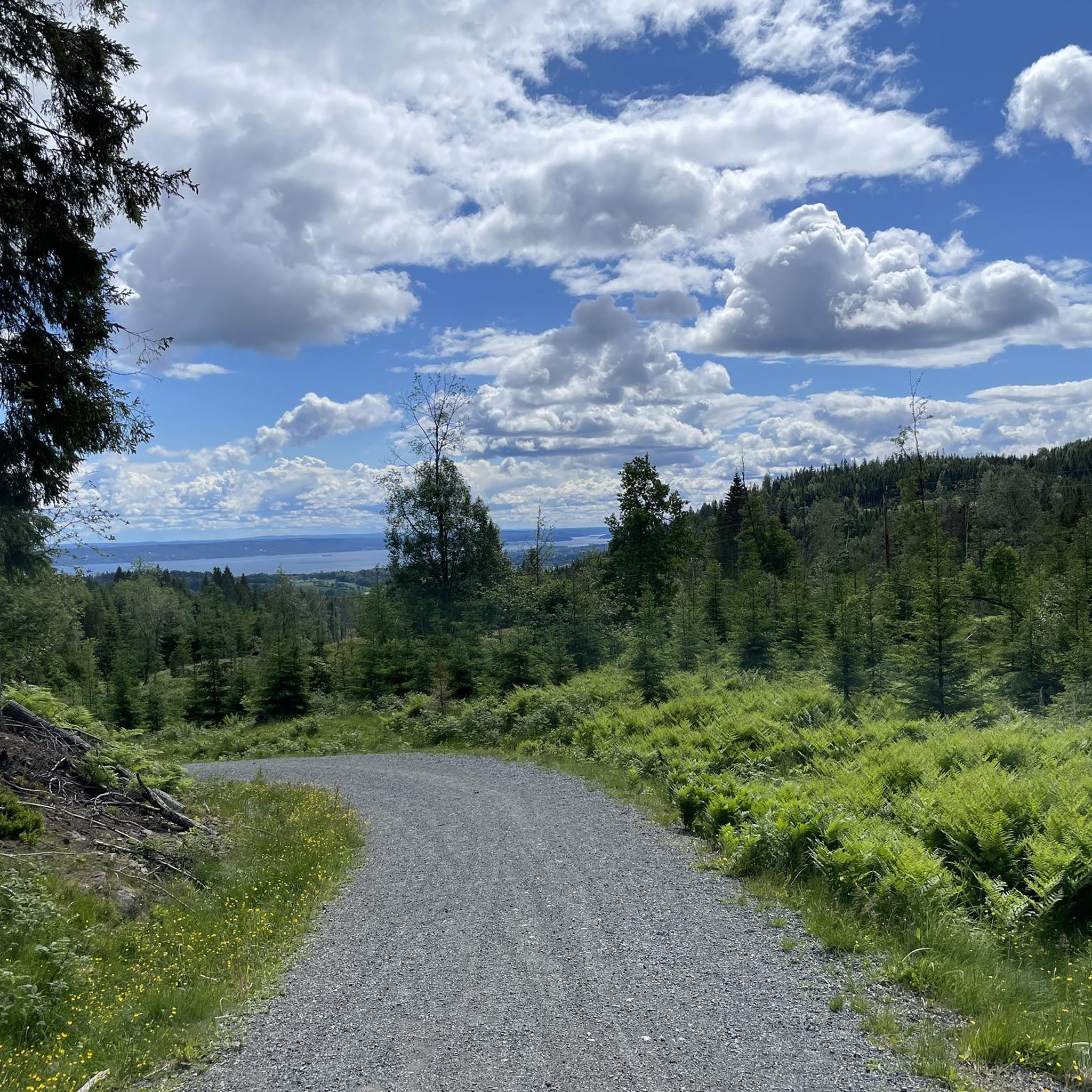
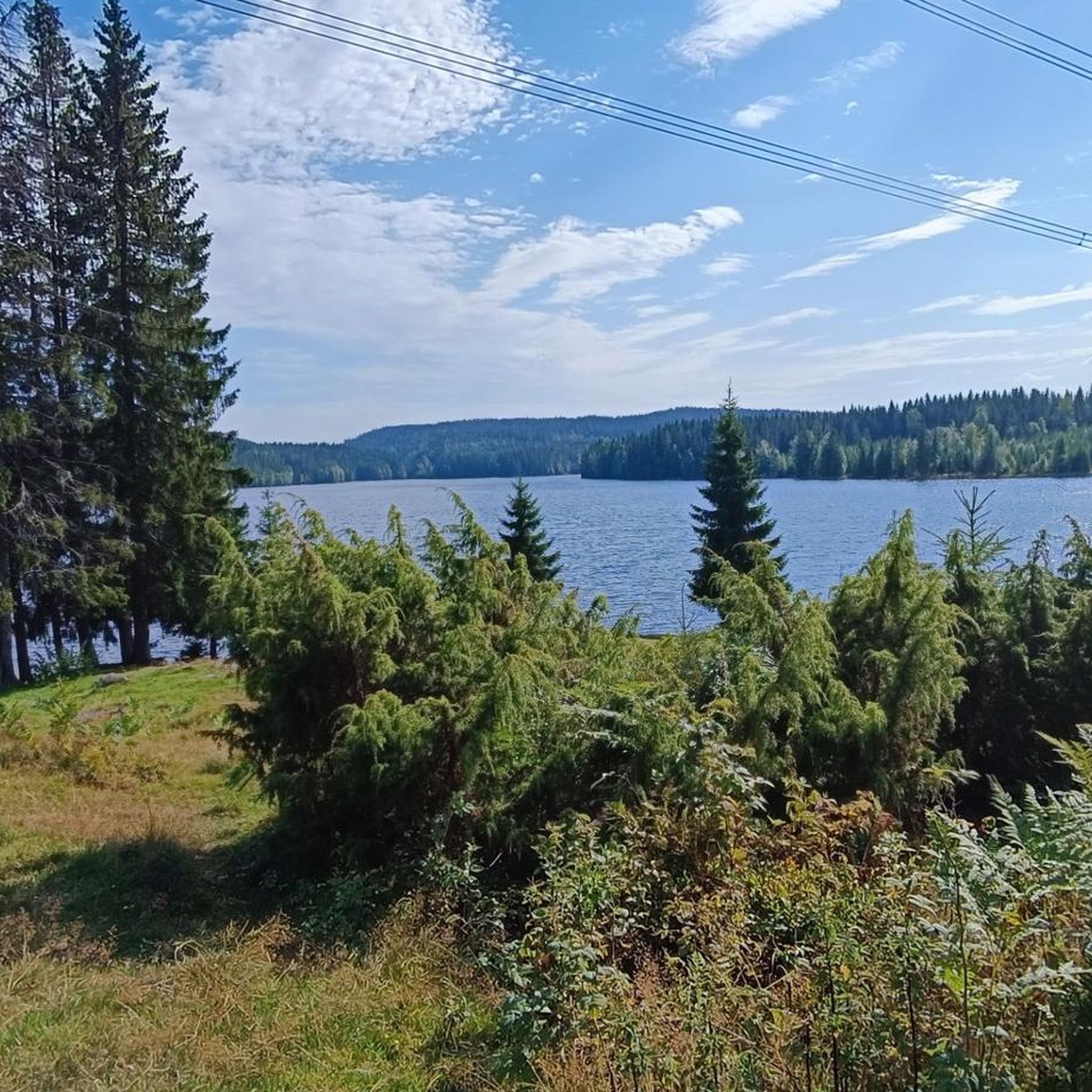
Tips from the Community


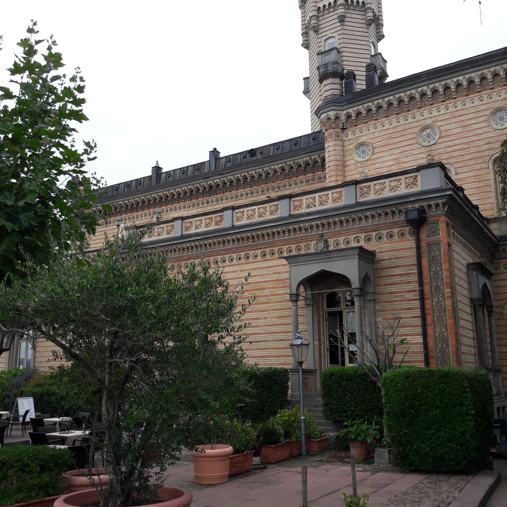
The Sem Gjestegård Café is a popular starting point and meeting place for hikers near the Semsvannet lake.
0
0

A cute little waterfall that flows down a small rock face. You can cross to the other side via a ford, though during heavy rain, you may have to wade through the water.
0
0

The viewpoint overlooking Bremåsen offers an expansive outlook across a landscape of coastal hills and waterways. The elevated terrain is characterized by its open, rocky ground, providing an unobstructed perspective that highlights the geological contours of the area. It is a tranquil spot that captures the quiet, rugged charm of the local environment.
0
0


Perched on a scenic hillside, Halvorsenhytta offers a breathtaking panoramic view of rolling forests, sparkling lakes, and distant mountain peaks. Enjoy the view from those benches.
0
0

Several nice picninc spots along the lake Damtjern.
0
0
Frequently Asked Questions
How many mountain bike trails are available in Semsvannet Landskapsvernområde?
There are over 75 mountain bike trails in Semsvannet Landskapsvernområde, offering a wide range of options for different skill levels and preferences. You'll find everything from easy gravel paths to more challenging routes with significant elevation.
Are there easy mountain bike trails suitable for beginners or families?
Yes, Semsvannet Landskapsvernområde offers several easy mountain bike trails, particularly on gravel roads around the lake, which are suitable for beginners and families. These routes typically have less elevation gain and are shorter in duration. There are 6 easy routes available, perfect for a relaxed ride.
What kind of terrain can I expect on the mountain bike trails in Semsvannet Landskapsvernområde?
The terrain in Semsvannet Landskapsvernområde is quite diverse. You can expect a mix of paved and unpaved surfaces, gravel roads, and paths winding through forests. The area features a beautiful cultural landscape with fields and wooded areas, and some routes offer views of the lake and surrounding nature. To the north, you'll find coniferous forests, while the south has more agricultural land.
Are there any challenging mountain bike routes for experienced riders?
Absolutely. For experienced mountain bikers seeking a challenge, Semsvannet Landskapsvernområde has 20 difficult routes. These trails often feature significant elevation gain and can include technical sections. An example is the Flow Trail in Vestmarka – Bergsåsen Radar Station loop from Sem, which is a difficult 11.5 km trail with considerable climbing through forested terrain.
Can I find circular mountain bike routes around Semsvannet?
Yes, many of the mountain bike routes in the area are designed as loops, allowing you to start and finish at the same point. These circular routes are great for exploring the diverse landscape around Semsvannet lake. For example, the View of Reistad and the valley – Kalkås loop from Asker is a moderate 36.3 km circular path offering expansive views.
Are there any waterfalls or scenic viewpoints along the trails?
Yes, the area boasts natural attractions like the Tveiterfossen, a 5-meter high waterfall formed by the Gupuelva river just before it flows into Semsvannet. Many routes also offer excellent views of the lake and the surrounding cultural landscape. The Tveiterfossen – Sandungen Lake loop from Vakås is a moderate route that passes by the waterfall.
Is Semsvannet Landskapsvernområde suitable for mountain biking with dogs?
While the area is a beautiful natural space, specific regulations regarding dogs on mountain bike trails can vary. It's generally recommended to keep dogs on a leash, especially in conservation areas and near grazing animals. Always check local signage for any restrictions or requirements regarding dogs in specific sections of the trails.
How can I get to the mountain bike trails using public transport?
Semsvannet Landskapsvernområde is accessible by public transport, with various bus routes serving the Asker area. You can plan your journey to nearby stops and then cycle to the trailheads. We recommend checking local public transport schedules for the most up-to-date information on routes and timings to reach the area.
Where can I park my car when visiting the mountain bike trails?
The area is easily accessible by public roads, and various parking options are available near the trailheads around Semsvannet. Specific parking areas can be found near popular starting points, making it convenient for day trips. Look for designated parking lots or roadside parking where permitted.
What do other mountain bikers enjoy most about the trails in Semsvannet Landskapsvernområde?
The trails in Semsvannet Landskapsvernområde are highly rated by the komoot community, with an average score of 5.0 stars from 34 reviews. Mountain bikers often praise the diverse terrain, the beautiful cultural landscape with old farms and grazing animals, and the scenic lake views. The variety of routes catering to different skill levels is also a frequently highlighted positive aspect.
Are there any historical or cultural sights to see while mountain biking?
Yes, Semsvannet Landskapsvernområde is rich in cultural history. You can cycle through a landscape featuring old, species-rich pastures and traditional tree pollarding. Large, ancient farms like Prestegården, Sem, Berg, and Vøyen, some dating back to the Iron Age, characterize the area. Remains of ancient hill forts are also found on Skaugumsåsen and Vindkovan on Bergsfjellet, adding a historical dimension to your ride.
When is the best time of year for mountain biking in Semsvannet Landskapsvernområde?
The best time for mountain biking in Semsvannet Landskapsvernområde is typically from spring through autumn, when the trails are clear of snow and ice. The lush greenery of summer and the vibrant colors of autumn offer particularly scenic rides. Always check local weather conditions before heading out, as some trails may become muddy after heavy rain.
What are the typical distances and elevation gains for mountain bike trails here?
The mountain bike trails in Semsvannet Landskapsvernområde vary significantly in length and elevation. Distances can range from shorter routes of around 10-15 km to longer, more extensive rides exceeding 30 km. Elevation gains also vary, with easy routes having minimal climbing, moderate routes like the Gjøkhaugen loop from Asker (17.4 km) featuring around 266 meters of ascent, and difficult routes often exceeding 500 meters of elevation gain.
Most popular routes in Semsvannet Landskapsvernområde

Get inspired with the komoot mobile app


Explore more
Browse the best MTB trails in other regions.
