The best running trails in Romeriksåsene
3.9
(21)
2,747
runners
274
runs
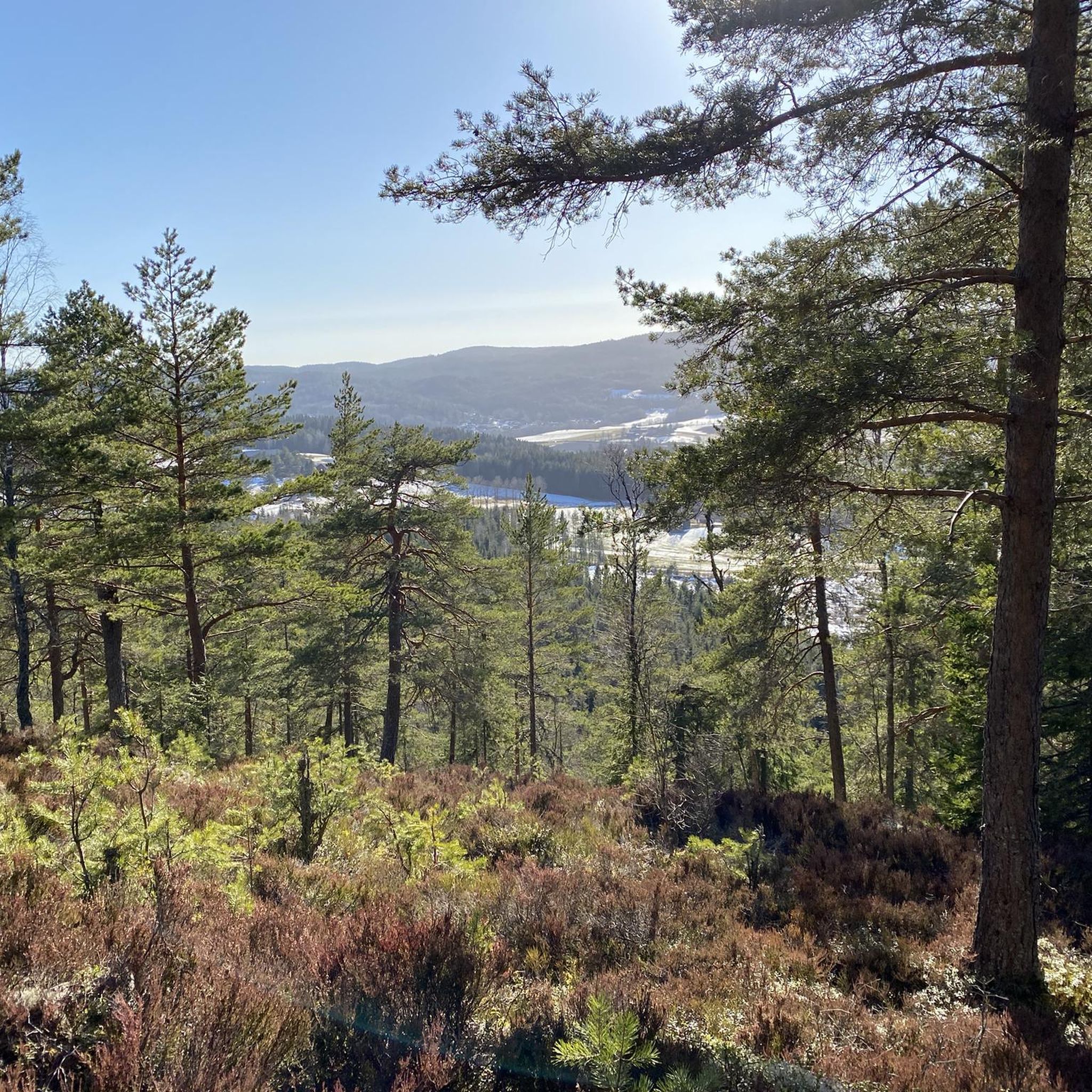
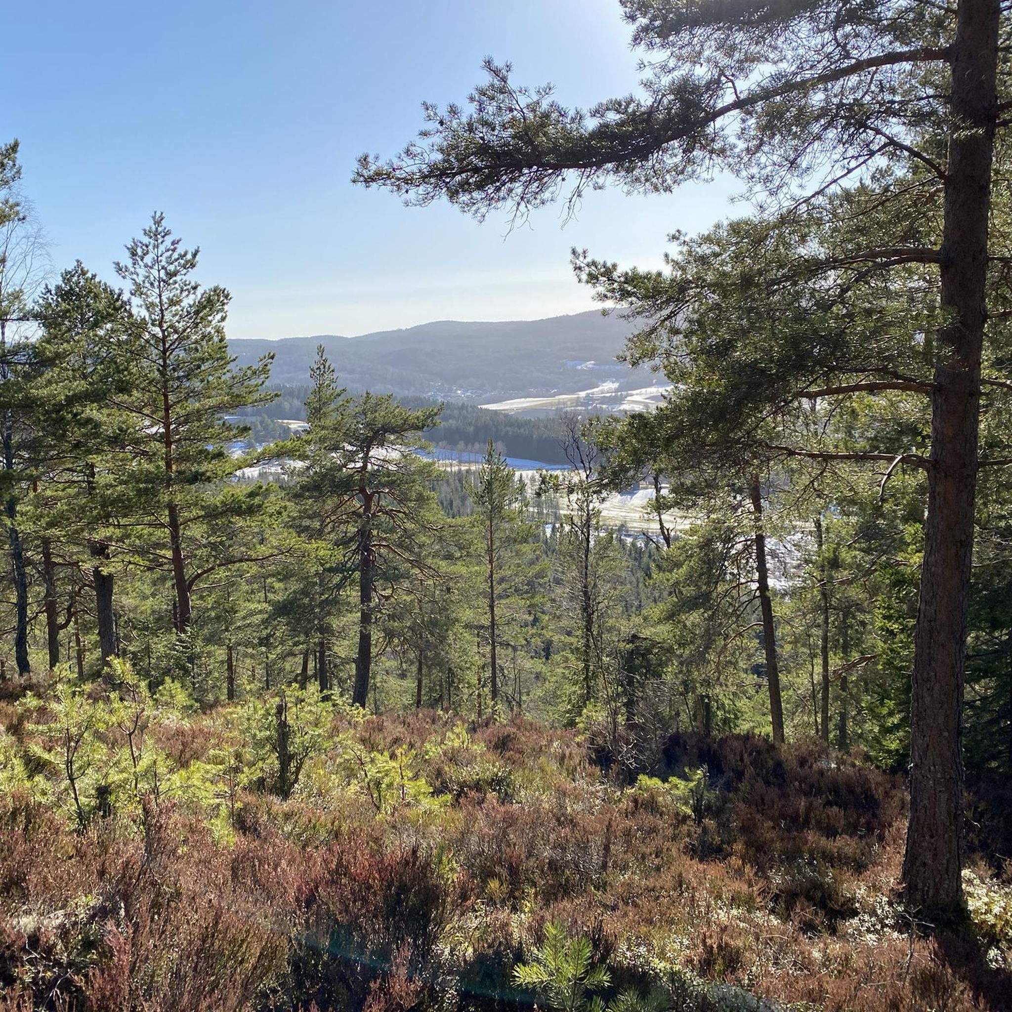
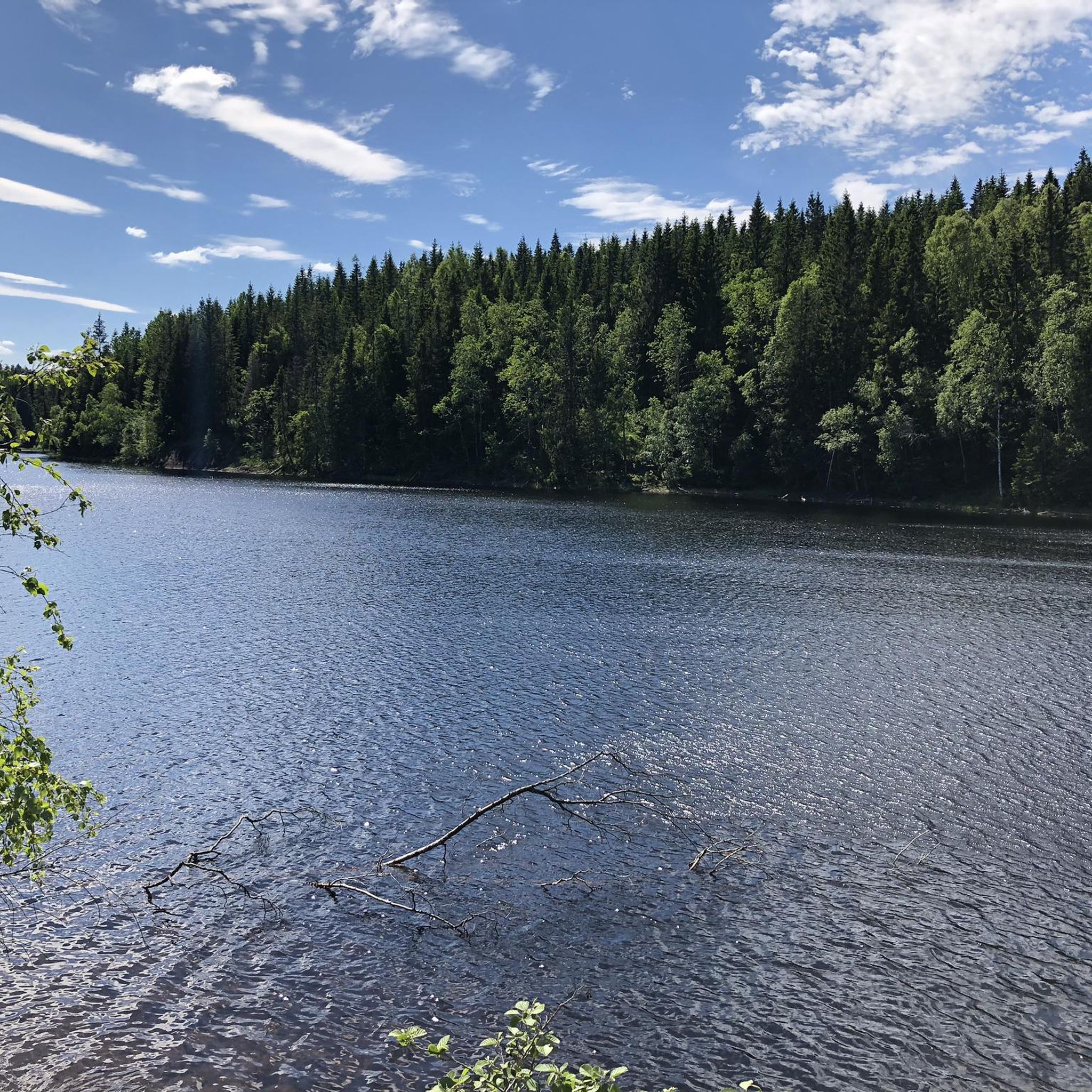
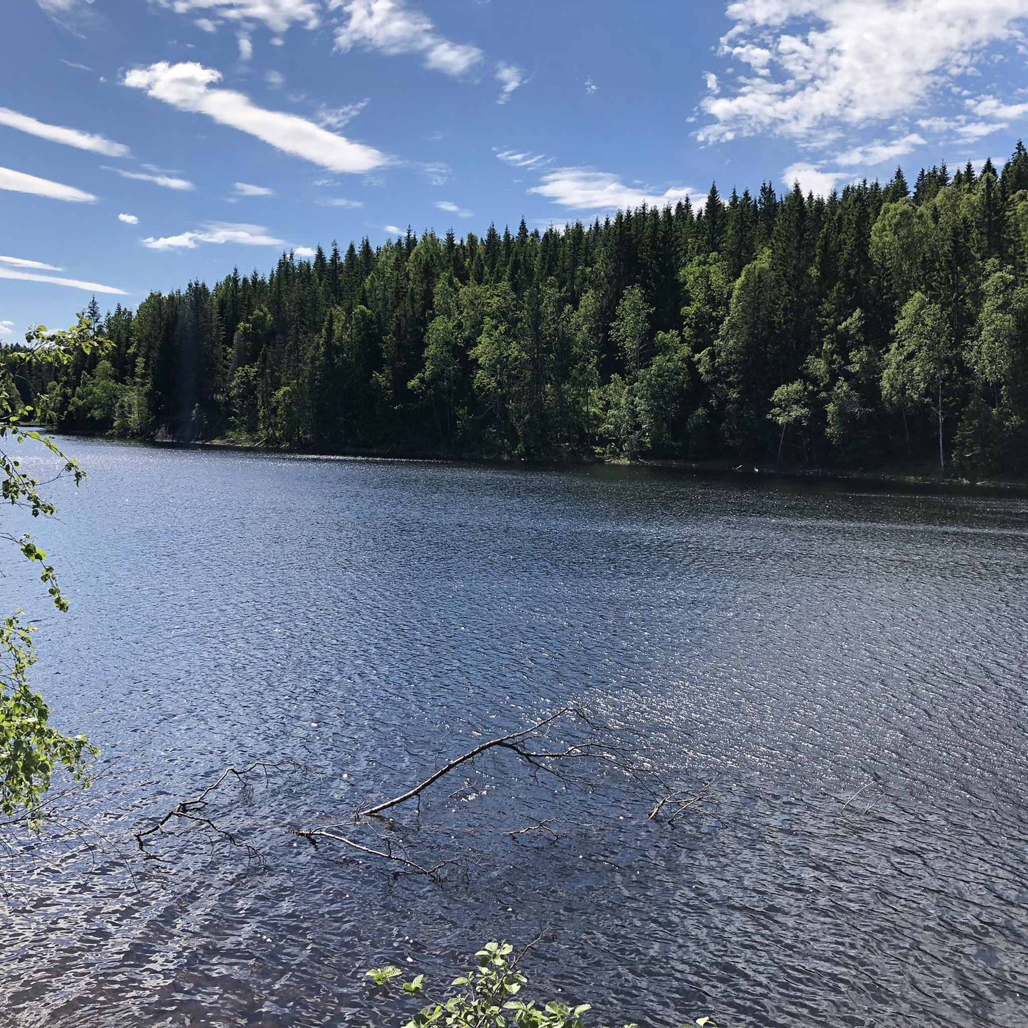
Jogging in Romeriksåsene offers diverse landscapes and varied terrain within the Oslomarka recreational area. The region is characterized by forested, hilly terrain, with elevations rising from approximately 200 meters to over 500 meters in the northern parts. Running routes traverse pine forests, soft marshlands, and feature narrow boardwalks over boggy areas, alongside numerous lakes and waterways. This environment provides a dynamic setting for running, with options ranging from mostly paved surfaces to technical paths with significant elevation gains.
Best jogging…
Last updated: July 1, 2026
18
runners
10.1km
01:03
80m
80m
Moderate run. Good fitness required. Mostly paved surfaces. Suitable for all skill levels.
13
runners
7.86km
00:54
80m
80m
Moderate run. Good fitness required. Mostly paved surfaces. Suitable for all skill levels.

Sign up for free
11
runners
10.2km
01:06
130m
130m
Moderate run. Good fitness required. Mostly paved surfaces. Suitable for all skill levels.
9
runners
13.6km
01:27
90m
90m
Moderate run. Good fitness required. Mostly paved surfaces. Suitable for all skill levels.
5
runners
11.9km
01:26
130m
130m
Moderate run. Good fitness required. Mostly paved surfaces. Suitable for all skill levels.
Get access to more routes and recommendations from other explorers.
Sign up for free
Already have an account?
Our route recommendations are based on thousands of hikes, rides, and runs completed by other people on komoot.
Start today with a free account
Your next adventure awaits.
Login or Signup
Tips from the Community

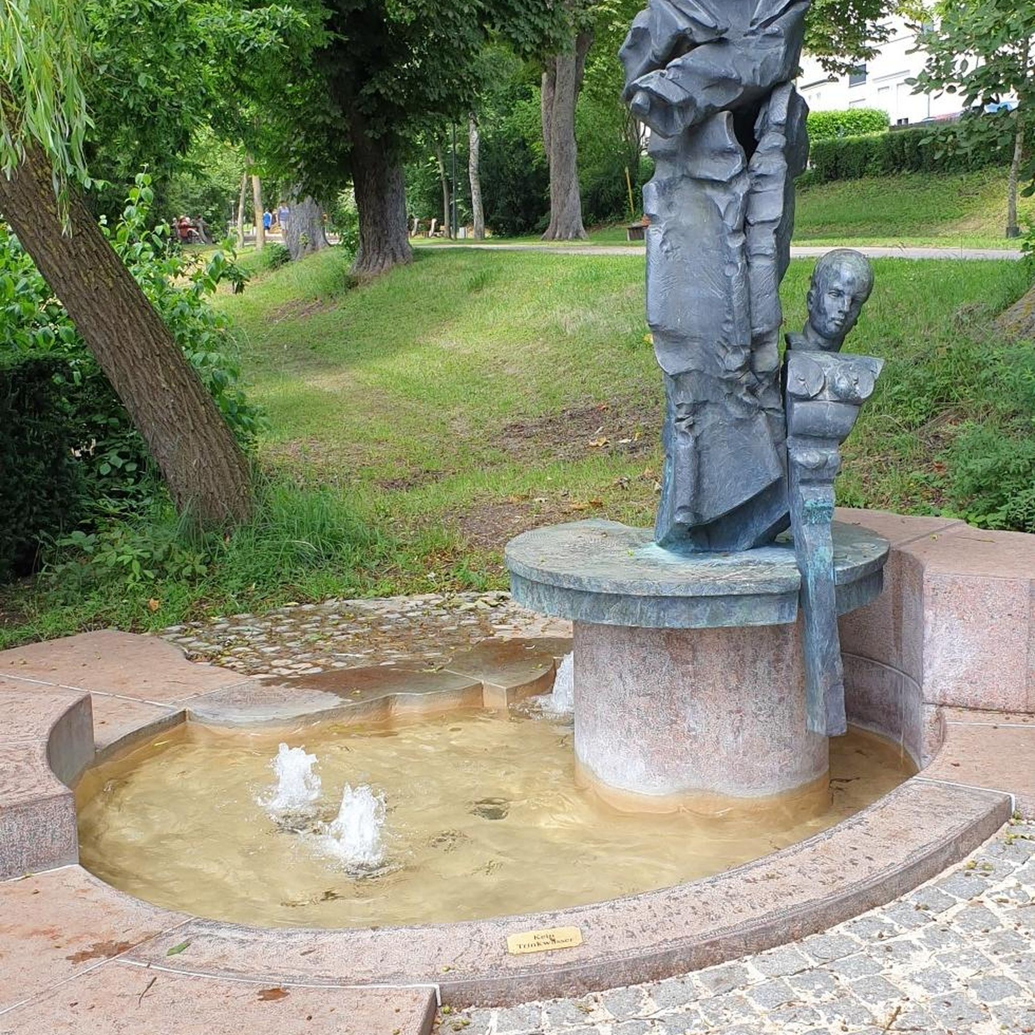
This peaceful woodland rest area features a simple shelter, a fire ring, and informative signs about local wildlife, including roe deer, common in this part of Norway. Kids and nature lovers will enjoy learning about how these shy animals live and survive through the harsh Nordic winters. A great stop for both a break and a bit of forest education.
0
0
A fun and varied trail through pine forest and soft marshland, with narrow boardwalks winding over the boggiest sections. Expect dry ridges, muddy stretches, and that classic Norwegian feeling of being deep in the wild.
1
0
Frequently Asked Questions
How many running routes are available in Romeriksåsene?
Romeriksåsene offers an extensive network of running trails, with over 290 routes documented on komoot. This includes a wide variety of options, from easy jogs to more challenging runs.
What kind of terrain can I expect on the jogging routes in Romeriksåsene?
The terrain in Romeriksåsene is highly diverse, characterized by forested, hilly landscapes. You'll encounter everything from pine forests and soft marshlands with narrow boardwalks to sections with significant elevation changes. The area is also dotted with beautiful lakes like Buvann and Storøyungen, adding to the scenic variety.
Are there running routes suitable for beginners or those seeking an easy jog?
Yes, Romeriksåsene caters to all fitness levels. While many routes offer a challenge, there are 25 easy routes available. Some trails feature mostly paved surfaces, making them ideal for leisurely runs or beginners. For example, the Running loop from Fjellgrinda is a moderate 5.3 km route that is popular and manageable.
Are there challenging routes for experienced runners or ultrarunners?
Absolutely. Romeriksåsene is known for its challenging terrain, with 60 difficult routes available. The northern parts are particularly high and rugged, offering technical paths with significant elevation gains that demand good to very good fitness. The region even hosts ultrarunning events like "Romeriksåsen på langs," showcasing its capacity for long-distance and demanding runs.
Can I find circular running routes in Romeriksåsene?
Yes, many of the running routes in Romeriksåsene are designed as loops, allowing you to start and finish at the same point. Popular examples include the Kvernstufossen loop from Gjerdrum, which is a moderate 10.1 km path, and the Lysdammen loop from Gjerdrum, a 7.9 km trail through forested hills.
What natural features or landmarks can I see while jogging in Romeriksåsene?
Romeriksåsene is rich in natural beauty. You can expect to see numerous lakes, such as Buvann, Gjerdrums-gjermenningen, and Råsjøen. The area also features several peaks offering fantastic views, including Paradiskollen (the highest point at 670m), Snellinghøgda, and Skotjernfjellet. The landscape is characterized by dense forests and varied geological formations of gneiss and granite.
Are there family-friendly jogging options in Romeriksåsene?
Yes, Romeriksåsene offers routes suitable for families. Many trails have varied difficulty levels, and some sections feature mostly paved surfaces that are easier for all ages. Look for routes with lower elevation gains and shorter distances for a more relaxed family outing.
Can I bring my dog on the running trails in Romeriksåsene?
Generally, dogs are welcome on trails in Romeriksåsene, but it's important to keep them on a leash, especially during certain times of the year to protect wildlife like roe deer. Always check local regulations or specific trail signage for any restrictions before heading out with your dog.
What do other runners enjoy the most about jogging in Romeriksåsene?
The komoot community highly rates Romeriksåsene, with an average score of 4.1 stars from over 15 reviews. Runners often praise the diverse landscapes, the extensive and well-maintained trail network, and the opportunity to experience both serene forests and challenging hilly terrain. The presence of numerous lakes and viewpoints is also a frequently mentioned highlight.
Are there any routes that offer views of waterfalls?
Yes, some routes in Romeriksåsene pass by waterfalls. For instance, the Prestfossen – Myrgruvefossen loop from Grønlundfjellet is a moderate 11.9 km route that allows you to experience the beauty of waterfalls like Prestfossen and Myrgruvefossen while enjoying your run.
What is the best time of year for running in Romeriksåsene?
Romeriksåsene offers great running opportunities year-round. Spring and autumn provide pleasant temperatures and beautiful foliage. Summer is ideal for enjoying the lakes, while winter offers unique experiences for those equipped for snow and ice, with some trails potentially groomed for cross-country skiing, which can also be used for winter running.
Where can I find parking for the running trails in Romeriksåsene?
Many trailheads in Romeriksåsene have designated parking areas. Popular starting points like Fjellgrinda, Kroken, and Lysdammen often provide convenient access to the trail network. It's advisable to check specific route descriptions for detailed parking information before your visit.
Most popular routes in Romeriksåsene
Most popular attractions in Romeriksåsene

Get inspired with the komoot mobile app


Explore more
Browse the best Running Trails & Routes in other regions.
