The best walks and hikes in Kullerbergen
4.2
(15)
91
hikers
10
hikes
Hiking trails in Kullerbergen are found within a natural park in Dalecarlia, a region characterized by its extensive forests and varied terrain. The landscape features numerous lakes and rivers, offering a mix of woodland paths and waterside routes. Hikers can expect gentle elevation changes across the area, with trails winding through a predominantly forested environment.
Best hiking trails in Kullerbergen
- The most popular hiking route is Kviddtjärnen loop from Fredriksberg, a 8.7 miles (14.0 km) trail that takes 3…
Last updated: July 10, 2026
3.0
(1)
2
hikers
14.6km
03:49
110m
110m
Moderate hike. Good fitness required. Easily-accessible paths. Suitable for all skill levels.
4.0
(3)
11
hikers
22.9km
06:18
390m
390m
Hard hike. Very good fitness required. Easily-accessible paths. Suitable for all skill levels.

Sign up for free
7
hikers
4.32km
01:13
90m
90m
Easy hike. Great for any fitness level. Easily-accessible paths. Suitable for all skill levels.
4.0
(1)
2
hikers
9.39km
02:36
160m
160m
Moderate hike. Good fitness required. Easily-accessible paths. Suitable for all skill levels.
4.8
(4)
40
hikers
5.61km
01:33
100m
100m
Easy hike. Great for any fitness level. Easily-accessible paths. Suitable for all skill levels.
Get access to more routes and recommendations from other explorers.
Sign up for free
Already have an account?
Our route recommendations are based on thousands of hikes, rides, and runs completed by other people on komoot.
Start today with a free account
Your next adventure awaits.
Login or Signup
Popular around Kullerbergen
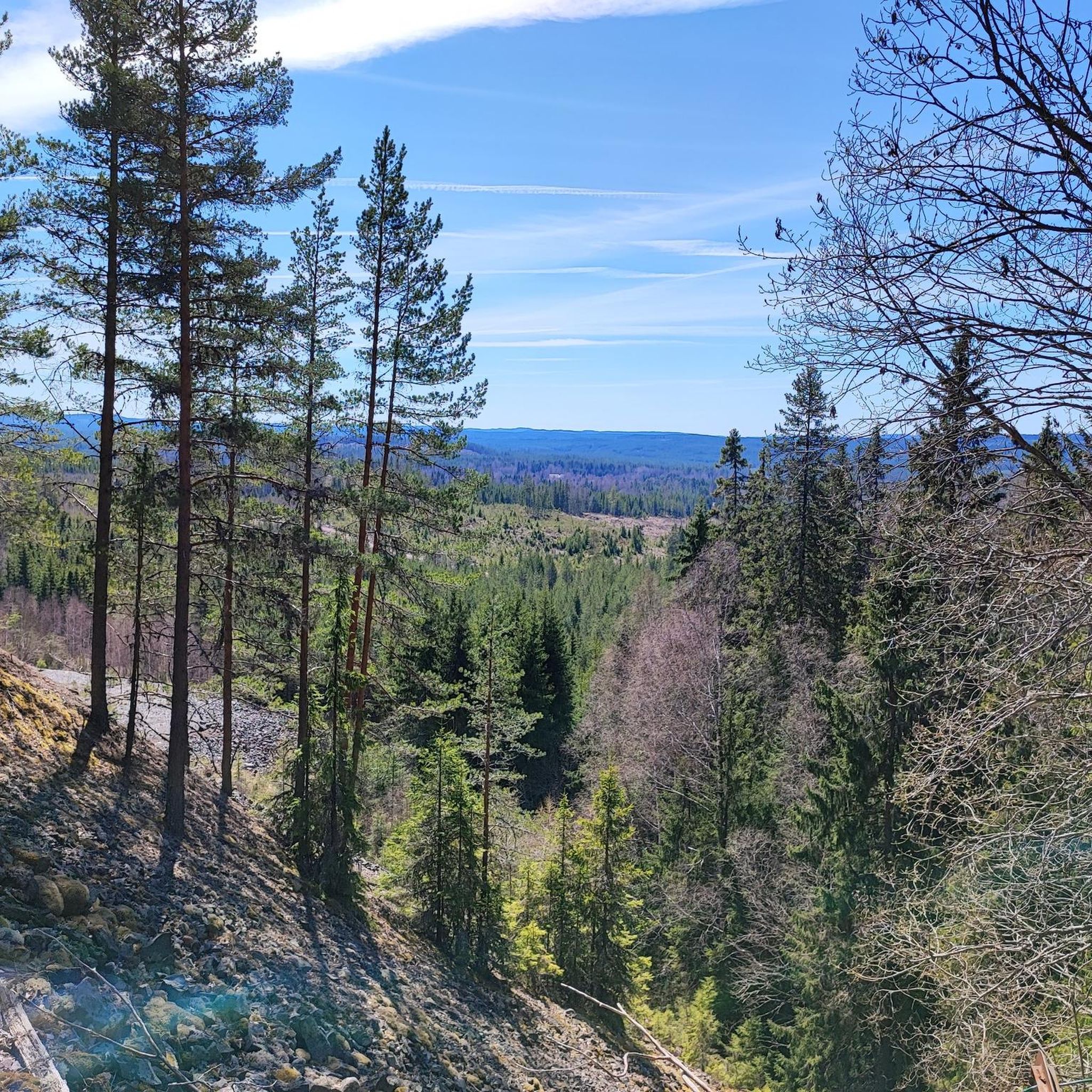
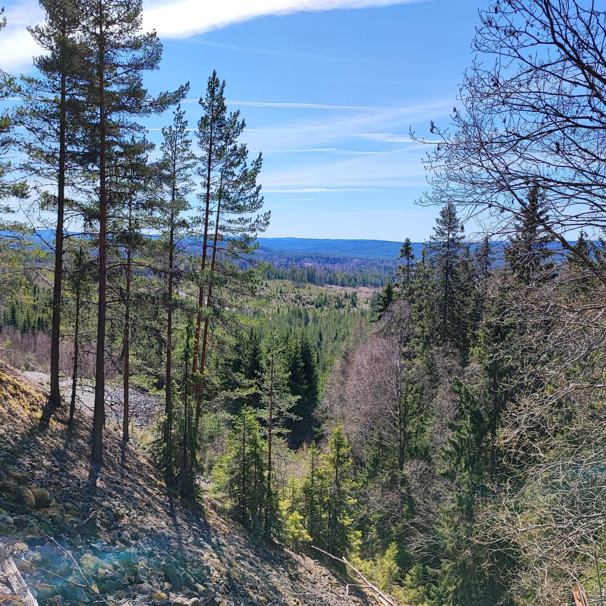
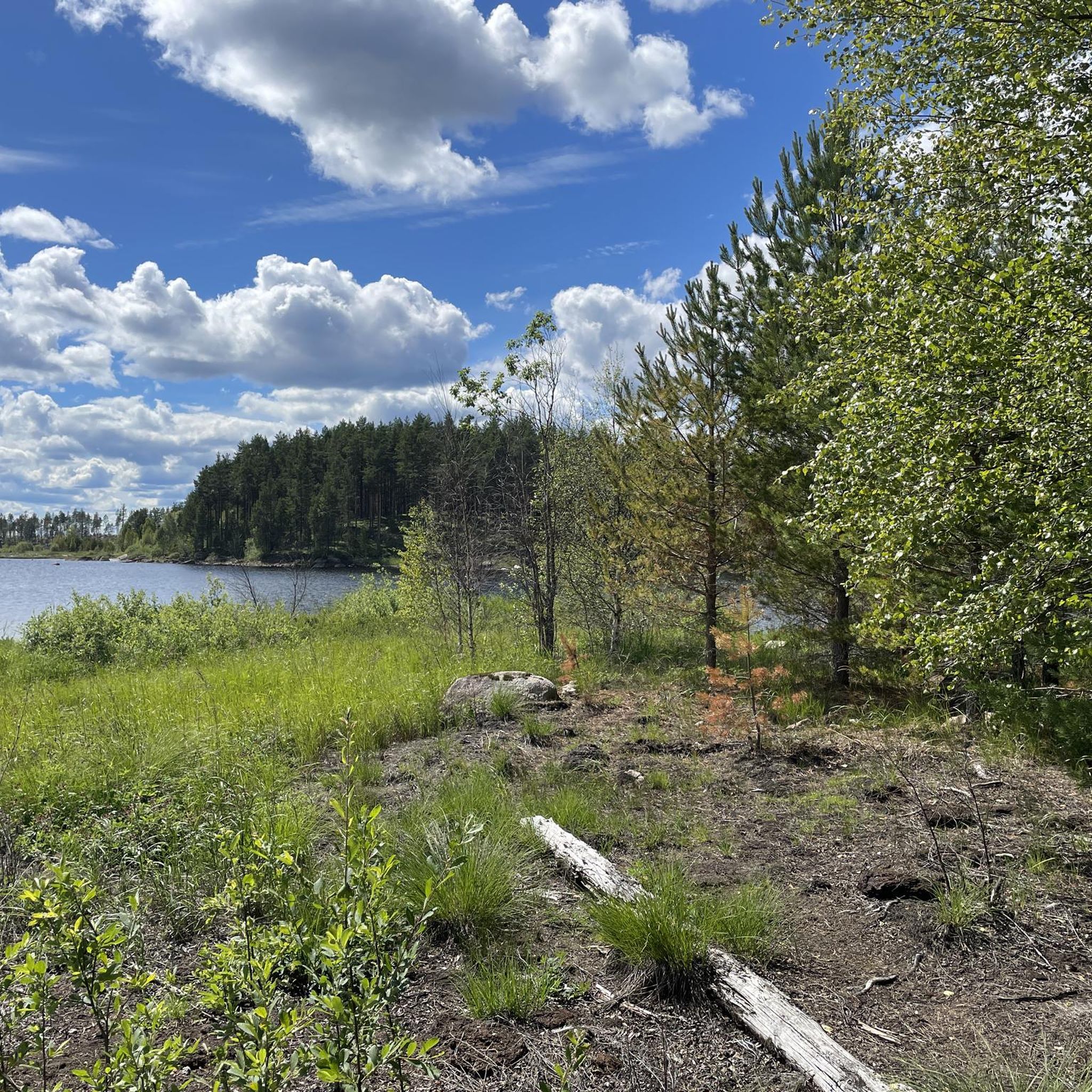
Tips from the Community

Nice nature with lots of hiking trails
0
0
Frequently Asked Questions
How many hiking trails are available in the Kullerbergen region?
The Kullerbergen region offers a diverse selection of over 10 hiking trails, catering to various skill levels. You'll find everything from easy strolls to more challenging long-distance paths.
What types of landscapes can I expect to see while hiking in Kullerbergen?
Kullerbergen is characterized by its dramatic and varied landscapes. Hikers can explore magnificent coastal scenery with towering cliffs, dense forests, and mysterious rock caves. The area also features diverse ecosystems, including woods, meadows, and coastal cliffs, offering extensive views of the open water and a refreshing salty sea breeze.
Are there any easy hikes suitable for beginners or families in Kullerbergen?
Yes, Kullerbergen has several easy trails perfect for beginners or families. One popular option is the Hösjön loop from Säfsnäs Kyrka, a 5.6 km trail that takes about 1 hour 33 minutes to complete, leading through woodlands and near Hösjön lake.
Are there any challenging long-distance trails in Kullerbergen?
For those seeking a challenge, the Kullerbergen region offers demanding routes. The Remains of the 1930 Ski Ramp – Solberget loop from Fredriksberg is a difficult 22.8 km path featuring significant elevation gain and passing by historical points of interest.
What do other hikers enjoy most about hiking in Kullerbergen?
The Kullerbergen region is highly rated by the komoot community, with an average score of 4.3 stars from over 15 reviews. Hikers often praise the tranquil lakes, dense forests, and the varied terrain that offers unique experiences for every visitor.
Are there any circular walks available in Kullerbergen?
Yes, many trails in Kullerbergen are designed as circular routes, allowing you to start and end at the same point. An example is the Kviddtjärnen loop from Fredriksberg, a moderate 14 km trail that explores the forested landscape around Kviddtjärnen lake.
What are some notable attractions or landmarks to see in the Kullerbergen area?
Beyond the trails, the Kullerbergen area boasts several unique attractions. You can visit Kullens Fyr, Scandinavia's brightest lighthouse, or explore the unconventional Nimis Driftwood Sculpture. The Himmelstorp Heritage Farm offers a glimpse into the past, and the Naturum Kullaberg visitor center provides insights into the reserve's natural and cultural heritage.
Can I find trails with good viewpoints in Kullerbergen?
Absolutely. The region is known for its elevated perspectives. Peaks like Håkull, standing almost 200 meters above sea level, offer panoramic vistas as a reward for the climb. Coastal trails also provide constant, dramatic views of the sea.
Are there any moderate hikes for those looking for a bit more challenge than an easy stroll?
Yes, Kullerbergen offers several moderate hikes. The Säfsen Welcome Sign – Remains of the 1930 Ski Ramp loop from Fredriksberg is a good option, covering 9.3 km with some elevation gain, providing a satisfying challenge without being overly strenuous.
What kind of wildlife might I encounter while hiking in Kullerbergen?
The diverse ecosystems of Kullerbergen, including woods, meadows, and coastal cliffs, support a rich biodiversity. While specific sightings vary, the area is excellent for birdwatching and offers opportunities to observe various flora and fauna in their natural habitats.
Are there any trails that follow the coastline in Kullerbergen?
Yes, the Kullerbergen region features magnificent coastal trails. These paths guide hikers through thick forests, along rugged coastlines, and past picturesque beaches, offering constant views of the sea and the refreshing salty sea breeze.
How many visitors typically explore the Kullerbergen trails using komoot?
Over 96 hikers have used komoot to explore Kullerbergen's varied terrain, indicating a strong community interest in the region's hiking opportunities.

Get inspired with the komoot mobile app


Explore more
Browse the best Hikes in other regions.
