The best running trails in Rånna Ryd
5.0
(2)
343
runners
29
runs
Jogging routes in Rånna Ryd traverse a diverse landscape along the eastern slopes of Billingen mountain. The region features varied topography, transitioning from steep cliffs and scree slopes to rolling hills, terraces, and hollows. Deciduous forests, including ravine and ash-elm groves, provide shaded paths, while open pastures like Ryds ängar offer mosaic-like scenery. A stream runs down the mountain, partly through a limestone canyon, contributing to the natural environment.
Best jogging routes in Rånna Ryd
- The most popular jogging route…
Last updated: July 12, 2026
8
runners
Moderate run. Good fitness required. Mostly paved surfaces. Suitable for all skill levels.
86
runners
5.21km
00:36
20m
20m
Moderate run. Good fitness required. Mostly paved surfaces. Suitable for all skill levels.

Sign up for free
10
runners
5.32km
00:34
30m
30m
Moderate run. Good fitness required. Mostly paved surfaces. Suitable for all skill levels.
6
runners
5.97km
00:37
50m
50m
Moderate run. Good fitness required. Mostly paved surfaces. Suitable for all skill levels.
3
runners
20.7km
02:11
140m
140m
Hard run. Very good fitness required. Mostly paved surfaces. Suitable for all skill levels.
Get access to more routes and recommendations from other explorers.
Sign up for free
Already have an account?
Our route recommendations are based on thousands of hikes, rides, and runs completed by other people on komoot.
Start today with a free account
Your next adventure awaits.
Login or Signup

Tips from the Community

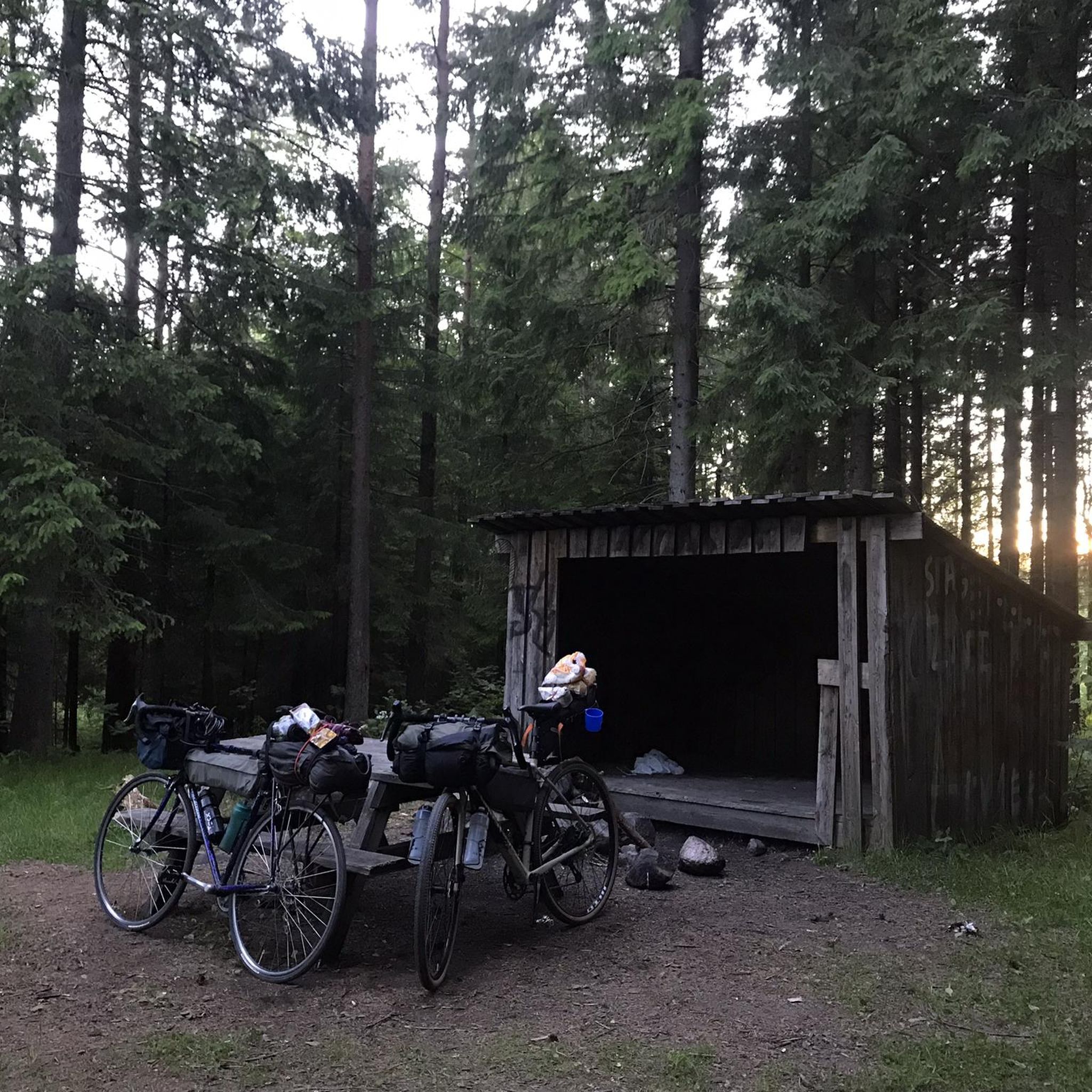
A small shelter for picnics and an outdoor toilet.
0
0
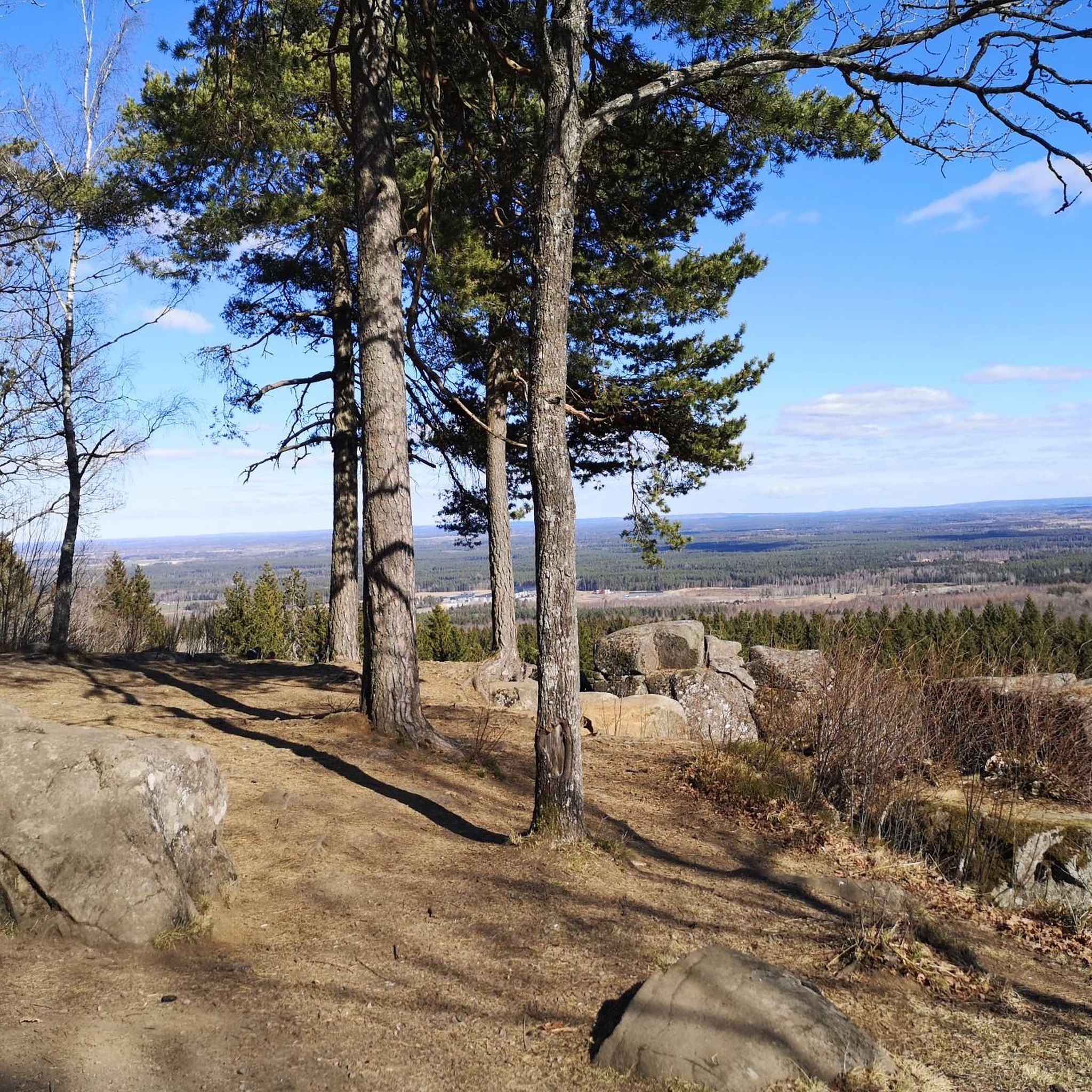
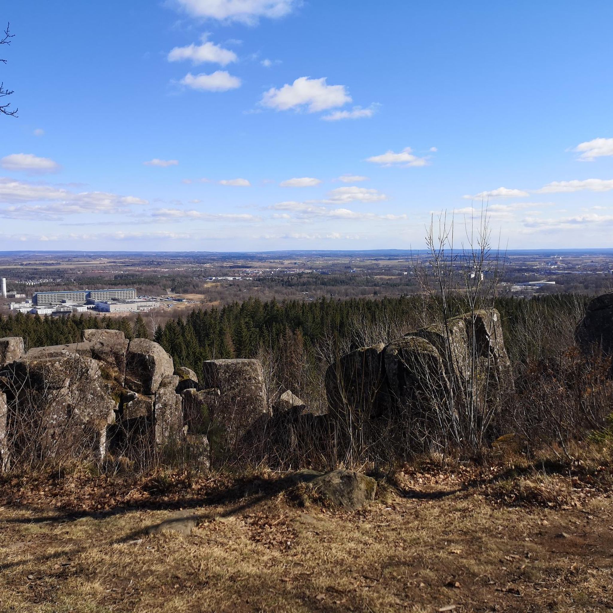
From here, you have a beautiful view of Skövde. A morning tour at sunrise is highly recommended.
0
0
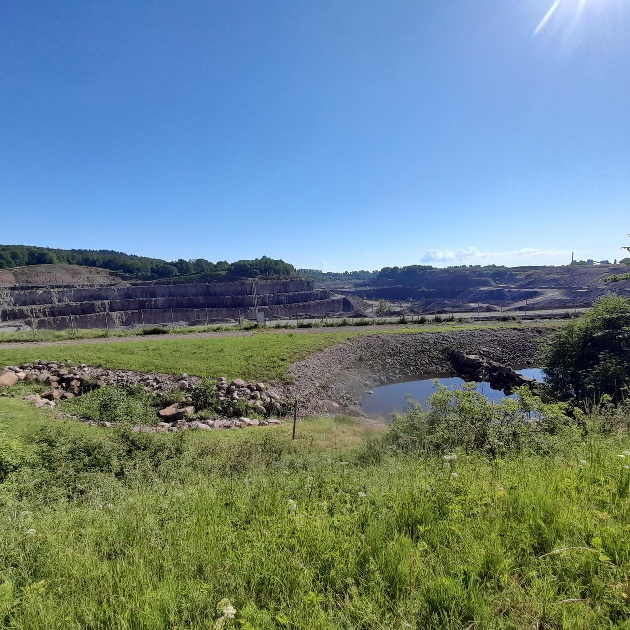
At the edge of Billingens slopes, near the Skanska quarry, you can see unique rock formations, also known as diabase columns.
0
0

Frequently Asked Questions
How many running routes are available in Rånna Ryd?
Rånna Ryd offers a comprehensive network of over 30 running routes, catering to various fitness levels. You'll find everything from easy loops to more challenging trails that traverse the diverse landscape.
What kind of terrain can I expect on the jogging trails in Rånna Ryd?
The terrain in Rånna Ryd is quite varied, transitioning from steep cliffs and scree slopes at the mountain plateau's edge to rolling hills, terraces, and hollows. You'll run through lush deciduous forests, including ravine and ash-elm groves, and open pastures like Ryds ängar. A beautiful stream also runs down the mountain, partly through a limestone canyon, adding to the natural diversity.
Are there any easy or beginner-friendly running paths in Rånna Ryd?
Yes, Rånna Ryd has several routes suitable for beginners or those looking for an easier run. For instance, the Running loop from Sankt Lukas kyrka is a moderate 3.2-mile path that offers a straightforward experience through local surroundings. The Silverfallet loop in Silverfallet-Karlsfors Nature Reserve is also known to be suitable for all skill levels.
Can I find circular running routes in Rånna Ryd?
Absolutely. Many of the running routes in Rånna Ryd are designed as loops, allowing you to start and finish at the same point. A popular option is the View of Ryds Caves – View of unique Diabase columns loop from Ulveksbackarna, which is 4.6 miles long and offers stunning geological sights.
What natural features or landmarks can I see while running in Rånna Ryd?
Rånna Ryd is rich in natural and historical landmarks. You can explore the impressive Ryds Grottor (Ryd's Caves), unique diabase columns formed by geological shifts. The Silverfallet-Karlsfors Nature Reserve features beautiful waterfalls and cascades. From vantage points near Ryds Grottor and the ancient hillfort Ymsingsborg, you can enjoy fine views over Lake Langen and Kinnekulle mountain.
Are there any family-friendly running trails in Rånna Ryd?
Yes, Rånna Ryd offers routes that are great for families. The Silverfallet loop in Silverfallet-Karlsfors Nature Reserve is a popular and easy option, featuring waterfalls and historical ruins, suitable for all skill levels. The varied landscape and natural trails with information signs also provide an engaging experience for children.
Are dogs allowed on the jogging routes in Rånna Ryd?
Generally, dogs are welcome on trails in Rånna Ryd, but it's always recommended to keep them on a leash to protect wildlife and ensure a pleasant experience for all visitors. The extensive trail network provides ample space for you and your canine companion to enjoy a run together.
Where can I park when visiting Rånna Ryd for a run?
While specific parking locations aren't detailed for every route, Rånna Ryd is generally accessible, and parking is available at common entry points to the nature reserve and trailheads. It's advisable to check the starting point of your chosen route for the most convenient parking options.
What is the best time of year for jogging in Rånna Ryd?
Rånna Ryd offers beautiful running conditions throughout the year. Spring is particularly picturesque when the cherry trees in Ryds ängar bloom, creating a snow-dusted appearance. Summer provides shaded paths through the forests, while autumn brings vibrant colors. Even winter can be beautiful for a run, though trail conditions may vary.
What do other runners enjoy most about jogging in Rånna Ryd?
The running routes in Rånna Ryd are highly rated by the komoot community, with an average score of 5.0 stars. Reviewers often praise the diverse topography, the stunning natural features like waterfalls and unique rock formations, and the extensive network of well-maintained trails that cater to various fitness levels.
Are there any longer or more challenging running routes for experienced runners?
Yes, Rånna Ryd features several challenging routes for experienced runners. For example, the Ryd's Church Ruin loop from Skövde is a difficult 12.9-mile (20.7 km) trail with significant elevation gain, offering a more demanding experience through varied terrain.
Can I reach Rånna Ryd by public transport?
Rånna Ryd is located near Skövde, which has public transport connections. While direct access to every trailhead by public transport might be limited, you can often reach the vicinity and then connect to the reserve's trail network. For specific details, it's best to check local bus schedules from Skövde towards the Rånna Ryd area.
Most popular routes in Rånna Ryd

Get inspired with the komoot mobile app


Explore more
Browse the best Running Trails & Routes in other regions.
