The best walks and hikes in Berby Landskapsvernområde
4.3
(220)
762
hikers
19
hikes
Hiking in Berby Landskapsvernområde offers diverse landscapes in the southern part of Halden municipality, Østfold county, Norway. The area features a river plain, forest slopes, and granite hills, encompassing parts of the Enningdalselva nature reserve and extending along the Iddefjorden. A notable natural landmark is the Elgåfossen Waterfall, situated on the border between Norway and Sweden. This region provides varied scenery for outdoor enthusiasts.
Best hiking trails in Berby Landskapsvernområde
- The most popular hiking route is Ascent to Björnerödspiggen –…
Last updated: July 12, 2026
3.0
(2)
13
hikers
Moderate hike. Good fitness required. Easily-accessible paths. Suitable for all skill levels.
4.5
(2)
9
hikers
5.48km
01:39
190m
190m
Easy hike. Great for any fitness level. Easily-accessible paths. Suitable for all skill levels.

Sign up for free
4.0
(1)
5
hikers
9.84km
02:51
240m
240m
Moderate hike. Good fitness required. Easily-accessible paths. Suitable for all skill levels.
4.2
(48)
132
hikers
9.68km
02:37
130m
130m
Moderate hike. Good fitness required. Easily-accessible paths. Suitable for all skill levels.
4.0
(1)
9
hikers
12.2km
03:34
330m
330m
Moderate hike. Good fitness required. Easily-accessible paths. Suitable for all skill levels.
Get access to more routes and recommendations from other explorers.
Sign up for free
Already have an account?
Our route recommendations are based on thousands of hikes, rides, and runs completed by other people on komoot.
Start today with a free account
Your next adventure awaits.
Login or Signup
Tips from the Community

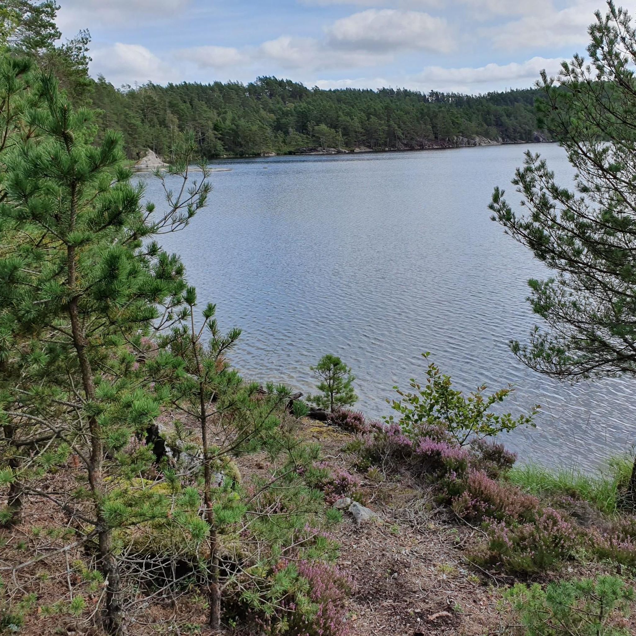
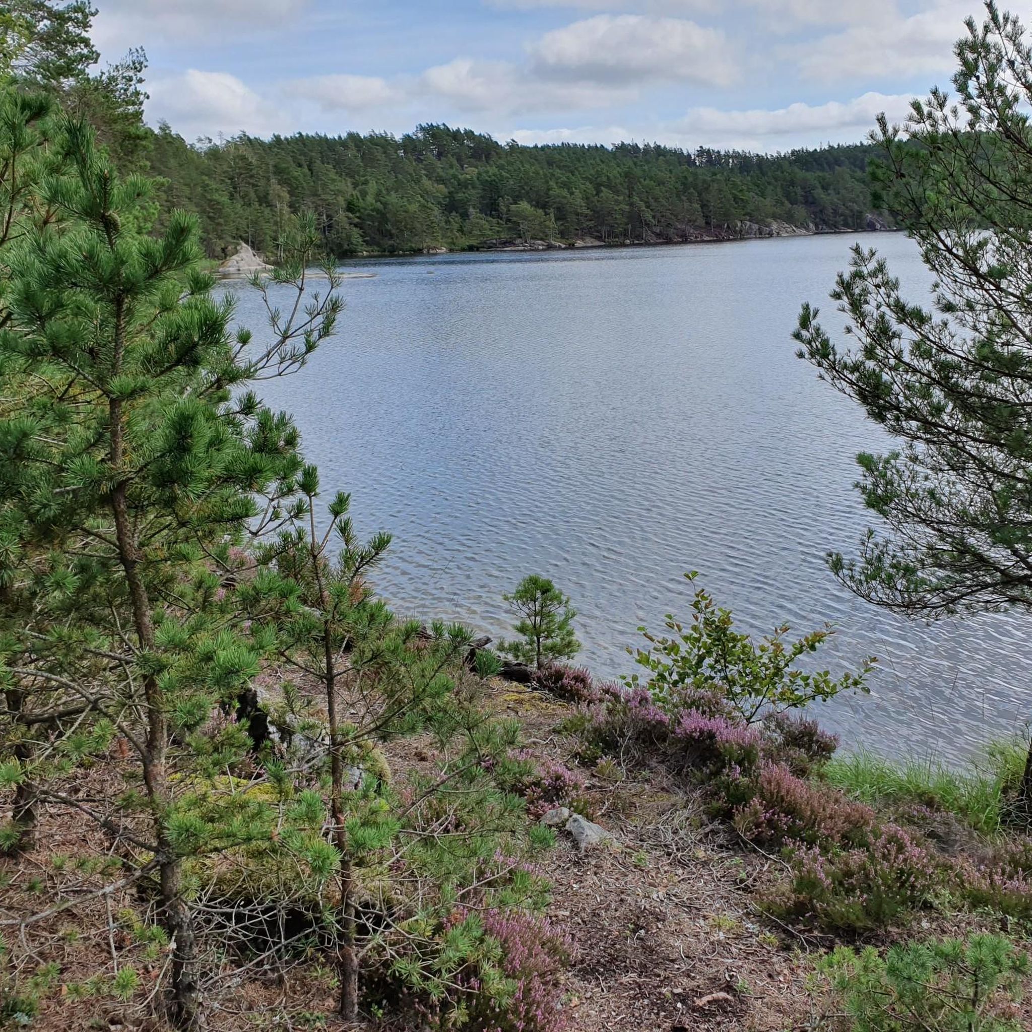
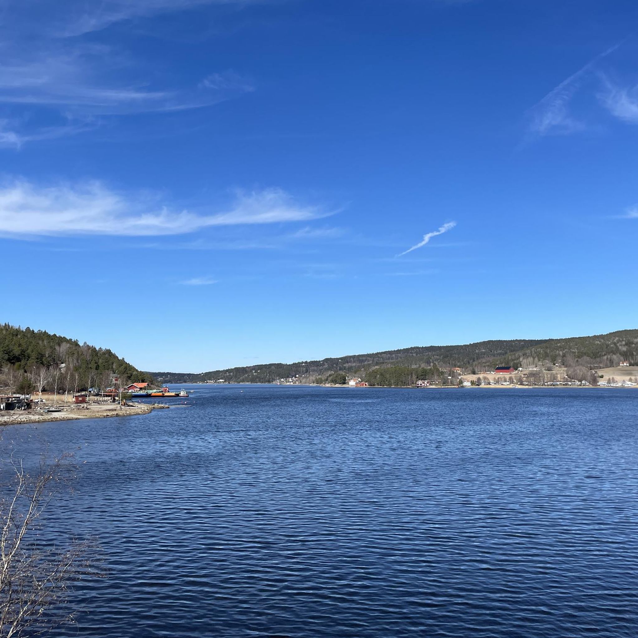
The sand dune near Krokstrand rises gently from the shore, its wind-sculpted ridges and grasses creating a small, natural lookout over the water. It’s a pleasant place to sit, watch the fjord, and enjoy the hush of the surrounding landscape
0
0
From this point you can view and enjoy the fjord and the woods around.
0
0

Very big and beautiful waterfall, at the border between Sweden and Norway. There is a small parking nearby (4, 5 cars max), which is above the waterfall. There is a sign going in the forest, and in 5min we reach the water. Many viewpoints from here. Then you can cross the bridge with the 2 country flags, and go down the path along the waterfall. Also many viewpoints from there. There is another bridge at the bottom, and it's possible to go back easily to the parking, without having to climb back next to the waterfall.
1
0

The Elgåfossen separates Sweden & Norway, the bridge unites them again 😉
0
0

My landlady recommended that I go to the waterfall when the weather is bad. Then a lot of water comes down...
0
0
The waterfall on the border between Sweden and Norway is definitely worth a visit, especially since the other large waterfalls in Sweden are further north.
0
1

Great view of the Elgåfossen and also the border between Norway and Sweden.
0
0

Elgafossen (or more precisely Elgåfossen or Elgaafossen in Norwegian and Älgafallet or Algafallet in Swedish) was a common waterfall between Norway and Sweden. In fact, its watercourse on a tributary of the Enningdalsälven called Elja defined parts of the Swedish-Norwegian border.
3
2
Frequently Asked Questions
How many hiking trails are available in Berby Landskapsvernområde?
Berby Landskapsvernområde offers a network of 18 documented hiking trails. These routes vary in length and difficulty, providing options for different preferences and fitness levels.
What is the general difficulty level of hikes in Berby Landskapsvernområde?
The trails in Berby Landskapsvernområde cater to a range of abilities. There are 10 easy routes, suitable for most hikers, and 8 moderate trails that may require a bit more fitness. There are no difficult routes listed, making the area accessible for many.
What natural landmarks can I expect to see while hiking in Berby Landskapsvernområde?
A prominent natural landmark is the Elgåfossen Waterfall, located directly on the border between Norway and Sweden. Many trails offer views of this impressive waterfall. You can also experience diverse landscapes including river plains, forest slopes, granite hills, and sections along the Iddefjorden.
Are there any family-friendly hiking options in Berby Landskapsvernområde?
Yes, with 10 easy routes available, Berby Landskapsvernområde has several options suitable for families. These trails typically feature accessible paths and shorter distances, allowing for an enjoyable outing with children. For example, the shorter Ascent to Björnerödspiggen loop from Krokstrand is an easy 5.5 km path.
Are dogs allowed on the hiking trails in Berby Landskapsvernområde?
Generally, dogs are welcome on trails in Norwegian nature areas, but they must be kept on a leash, especially during certain times of the year (typically April 1 to August 20) to protect wildlife. Always ensure your dog is under control and follow local regulations and signage.
Are there any circular hiking routes in the area?
Yes, many of the trails in Berby Landskapsvernområde are designed as loops, allowing you to start and end at the same point. Examples include the Ascent to Björnerödspiggen – View from Björnerödspiggen loop from Krokstrand and the View of Krokstrand – View of the Fjord loop from Krokstrand, both offering varied scenery on a circular path.
What do other hikers say about the trails in Berby Landskapsvernområde?
The trails in Berby Landskapsvernområde are highly rated by the komoot community, with an average score of 4.3 stars from over 200 reviews. Hikers often praise the diverse landscapes, the stunning views, and the well-maintained paths that lead through forests, past rivers, and to notable features like the Elgåfossen Waterfall.
Is there parking available for hikers in Berby Landskapsvernområde?
While specific parking locations are not detailed here, areas like Krokstrand and Svingen, which serve as starting points for popular loops, typically have designated parking facilities for hikers. It's advisable to check local signage upon arrival for the most accurate information.
What is the best time of year to go hiking in Berby Landskapsvernområde?
The best time for hiking in Berby Landskapsvernområde is generally from spring through autumn (May to October), when the weather is milder and trails are clear of snow. Summer offers lush greenery and longer daylight hours, while autumn brings beautiful fall foliage. Always check local weather forecasts before heading out.
Are there any historical or cultural sites to explore near the trails?
Yes, the area includes the historic Berby Herregård (Manor) with its old park landscape, adding a cultural dimension to your outdoor experience. While hiking, you'll also pass through areas rich in cultural heritage, reflecting the region's long history.
Can I find trails that lead directly to the Elgåfossen Waterfall?
Absolutely. Several routes are specifically designed to feature the Elgåfossen Waterfall. For instance, the Old Cabin by the Waterfall – Elgåfossen Waterfall loop from Svingen is a popular choice that takes you directly to this impressive natural wonder.
What kind of terrain can I expect on the trails?
The terrain in Berby Landskapsvernområde is quite varied. You'll encounter river plains, gentle forest slopes, and more rugged granite hills. Paths range from easily accessible to those requiring good to very good fitness, often involving some elevation gain and descent.
Most popular routes in Berby Landskapsvernområde

Get inspired with the komoot mobile app


Explore more
Browse the best Hikes in other regions.
