The best road cycling routes in Göta Och Nordre Älvs Dalgångars Naturreservat
4.8
(10)
755
riders
47
rides
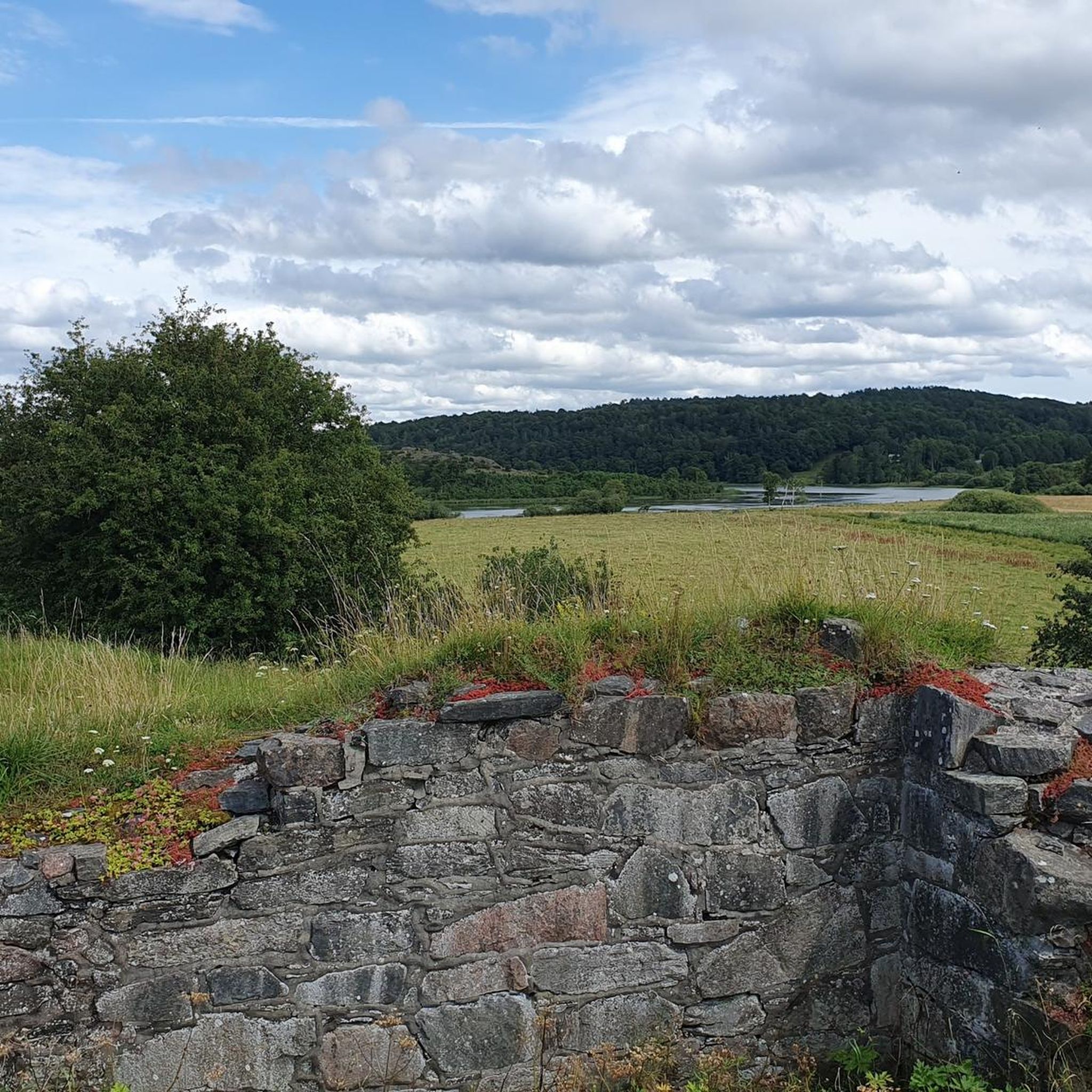
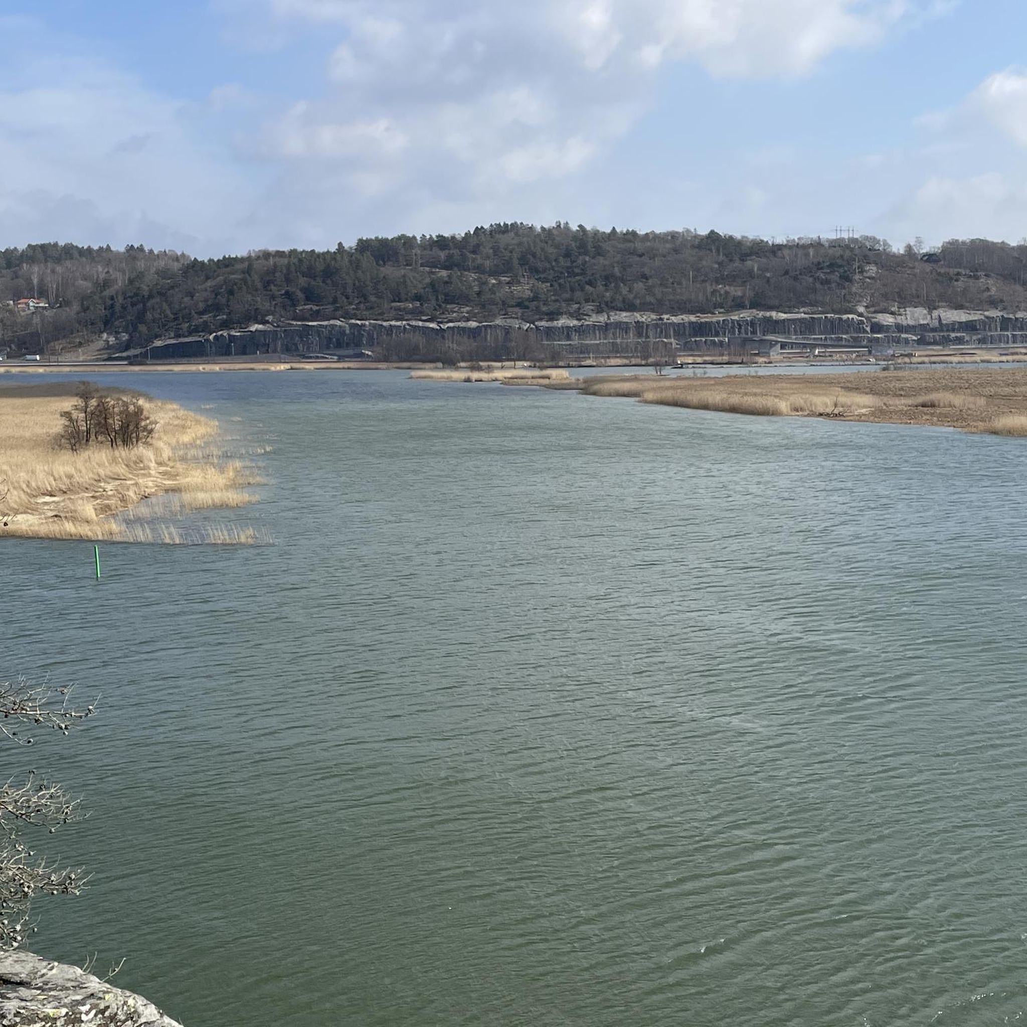
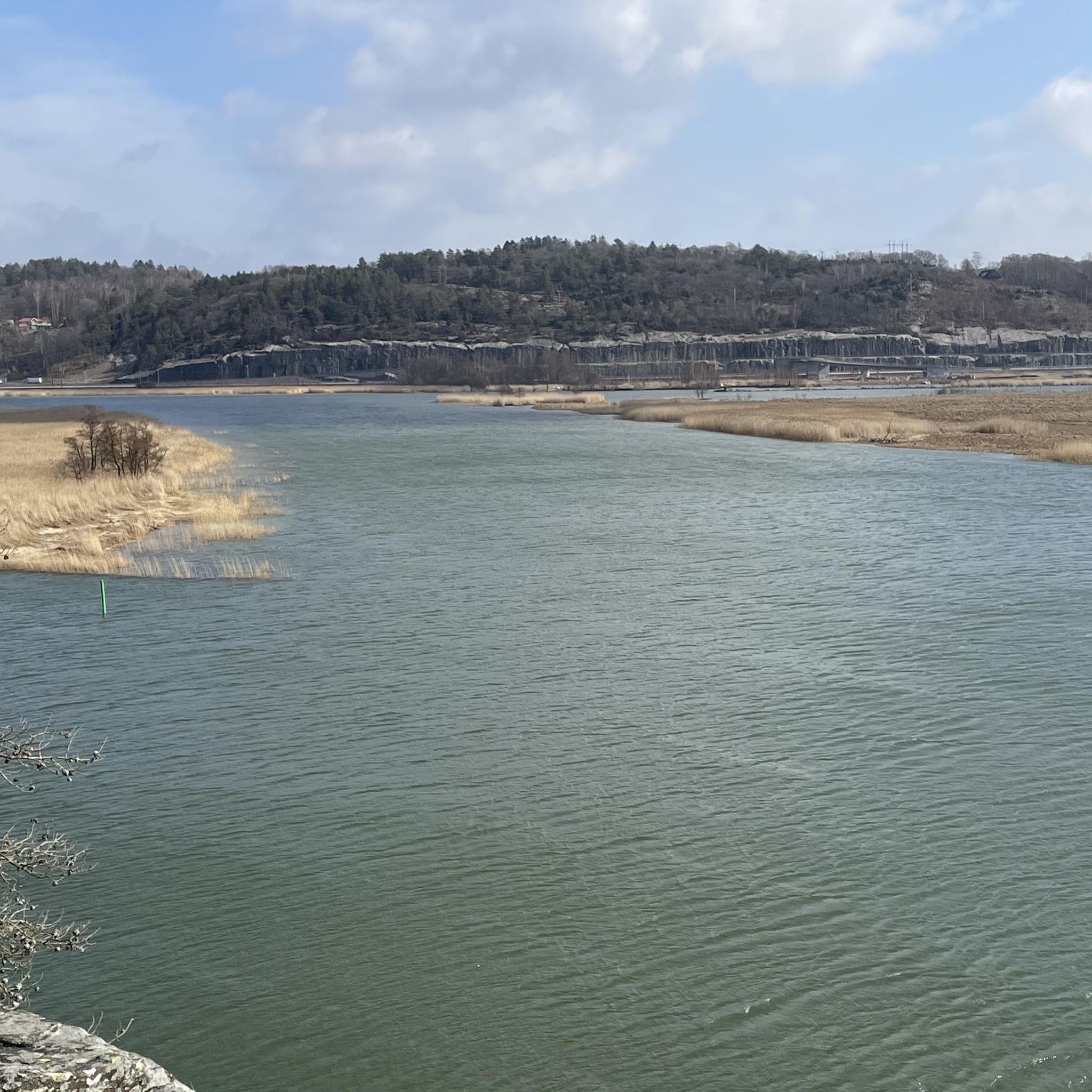
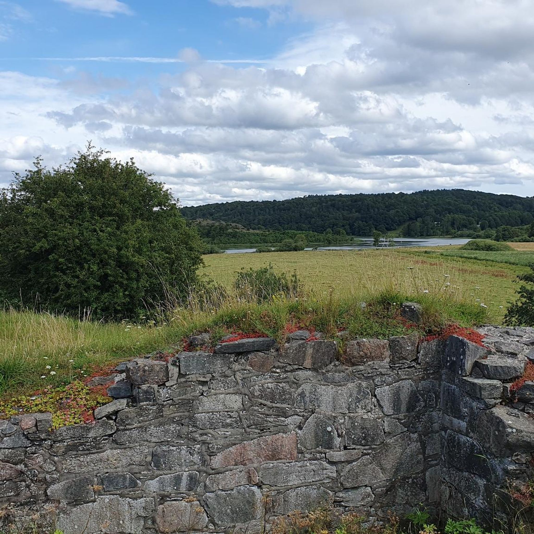
Road cycling routes in Göta Och Nordre Älvs Dalgångars Naturreservat traverse a landscape shaped by the Göta älv and Nordre älv rivers. This area features distinct natural characteristics, including steep riverbanks, deeply incised stream ravines, and varied landslide morphology. Cyclists can expect a mosaic of environments, from floodplains to rocky outcrops, offering diverse terrain for road biking. The region also incorporates historical sites such as Ragnhildsholmen's medieval castle ruin and the ancient fort at Hakered.
Best road cycling routes in…
Last updated: October 26, 2026
16
riders
98.5km
04:09
660m
660m
Moderate road ride. Good fitness required. Mostly well-paved surfaces and easy to ride.
13
riders
49.4km
02:06
360m
360m
Moderate road ride. Good fitness required. Mostly well-paved surfaces and easy to ride.

11
riders
119km
04:58
720m
720m
Moderate road ride. Good fitness required. Mostly well-paved surfaces and easy to ride.
11
riders
37.0km
01:37
280m
280m
Easy road ride. Mostly well-paved surfaces and easy to ride.
9
riders
36.1km
01:30
190m
190m
Easy road ride. Mostly well-paved surfaces and easy to ride.
Get access to more routes and recommendations from other explorers.
Already have an account?
Our route recommendations are based on thousands of hikes, rides, and runs completed by other people on komoot.
Start today with a free account
Your next adventure awaits.
Popular around Göta Och Nordre Älvs Dalgångars Naturreservat
Tips from the Community


From this point you get a great view of the beach.
1
0
On this road you get a great view of Landvettersjön Lake, which is 21 meters deep, has an area of 2.18 square kilometers and is 54.3 meters above sea level.
1
0
From this point you get a quick glimpse over Lake Stora Delsjön, a lake in Gothenburg municipality in Västergötland and part of the Göta river's main catchment area. The lake is 22.5 meters deep, has an area of 1.2 square kilometers and is 69.5 meters above sea level.
0
0


Although the fortress is closed in winter, it is still worth visiting.
1
0

In the Middle Ages, Bohus Fortress was considered one of the largest, most massive and impregnable fortresses in Northern Europe. The fortress was the southernmost border fortress in Norway, built in 1308 by the Norwegian King Håkon V. Magnusson. The fortress is located on a 40 metre high cliff on the island of Bagaholmen. At that time, Bagaholmen was surrounded by the River Göta and lay at the intersection of the three neighbouring kingdoms (Norway to the west, Sweden to the east and Denmark to the south). From the fortress there was good control over shipping on the river.
0
0
Walk around the fortress and listen to the walls telling their stories of kings, saints, power struggles, traitors and prisoners.
0
0
Frequently Asked Questions
What kind of terrain can I expect when road cycling in Göta Och Nordre Älvs Dalgångars Naturreservat?
The reserve offers a diverse landscape shaped by the Göta älv and Nordre älv rivers. You can expect varied terrain, including steep riverbanks, deeply incised stream ravines, and areas with varied landslide morphology. The routes traverse a mosaic of environments, from floodplains to rocky outcrops, providing a stimulating backdrop for road cyclists.
Are there road cycling routes suitable for all skill levels in the reserve?
Yes, the road cycling network in Göta Och Nordre Älvs Dalgångars Naturreservat caters to different abilities. There are options for easy, moderate, and difficult routes. For example, the Bohus Fortress – Jörlanda Bakery loop from Bohus is a moderate route, while the Bohus Fortress – Kopparklinten Viewing Platform loop from Bohus is considered difficult due to significant elevation gain.
What historical sites or landmarks can I see while cycling in the area?
The reserve is rich in historical environments. Cyclists can encounter sites such as Ragnhildsholmen's medieval castle ruin, which offers fine views over the river and Kungälv. You might also pass the ancient fort at Hakered and the remains of old Kongahälla near Kastellegården. Bohus Fästning (Bohus Fortress) also forms a scenic backdrop to the landscape, as seen on routes like the Bohus Fortress – Skärhamn Harbour loop from Bohus.
Are there scenic viewpoints along the road cycling routes?
Yes, the river valley landscape naturally provides many scenic opportunities. Routes often offer views over the Göta älv and Nordre älv rivers. The Bohus Fortress – Kopparklinten Viewing Platform loop from Bohus specifically leads to the Kopparklinten Viewing Platform, offering expansive vistas. Other routes, such as the View of Lake Landvetter – Halleröd Heights loop from Bohus, provide views of Lake Landvetter.
Is there parking available for cyclists near the road cycling routes?
While specific parking locations are not detailed for each route, the presence of historical sites and natural attractions suggests that parking facilities are available in proximity to common starting points or points of interest within the reserve. It is advisable to check local signage or specific route descriptions for designated cyclist parking.
What is the best time of year for road biking in Göta Och Nordre Älvs Dalgångars Naturreservat?
The region's natural beauty, with vibrant birdlife and open landscapes maintained by cattle grazing, suggests that spring, summer, and early autumn are ideal. During these seasons, the weather is generally more favorable, and the natural environment is at its most picturesque. The air is often filled with birdsong on tranquil summer evenings, enhancing the cycling experience.
How many road cycling routes are available in Göta Och Nordre Älvs Dalgångars Naturreservat?
There are over 50 road cycling routes available in Göta Och Nordre Älvs Dalgångars Naturreservat, offering a wide range of distances and difficulties for cyclists to explore.
What do other road cyclists enjoy the most about road cycling in Göta Och Nordre Älvs Dalgångars Naturreservat?
The area is highly rated by the komoot community, with an average score of 4.75 stars from 4 reviews. Cyclists often praise the varied terrain, the scenic river valley landscapes, and the opportunity to combine exercise with exploring historical sites. Over 700 road cyclists have used komoot to discover the diverse routes here.
Are there any loop routes for road cycling in the reserve?
Yes, many of the road cycling routes in the reserve are designed as loops, allowing you to start and end at the same point. Examples include the Bohus Fortress – Jörlanda Bakery loop from Bohus, the Bohus Fortress – Kopparklinten Viewing Platform loop from Bohus, and the Cycling at Sunrise loop from Bohus.
What is the typical elevation profile for road cycling routes in this region?
Given the landscape of steep riverbanks and deeply incised stream ravines, road cycling routes in Göta Och Nordre Älvs Dalgångars Naturreservat can feature significant elevation changes. For instance, the Bohus Fortress – Kopparklinten Viewing Platform loop from Bohus has over 800 meters of elevation gain, indicating that challenging climbs are part of the experience on some routes.
Can I find cafes or places for refreshments along the road cycling routes?
While specific cafes are not listed for every route, the Bohus Fortress – Jörlanda Bakery loop from Bohus explicitly mentions passing by the Jörlanda Bakery, suggesting opportunities for refreshments. Given the historical and cultural richness of the area, it's likely that towns and villages along the routes offer various amenities.
Most popular routes in Göta Och Nordre Älvs Dalgångars Naturreservat

Get inspired with the komoot mobile app


Explore more
Browse the best Road cycling routes in other regions.
