The best walks and hikes in Östergarnsberget
4.6
(68)
229
hikers
22
hikes
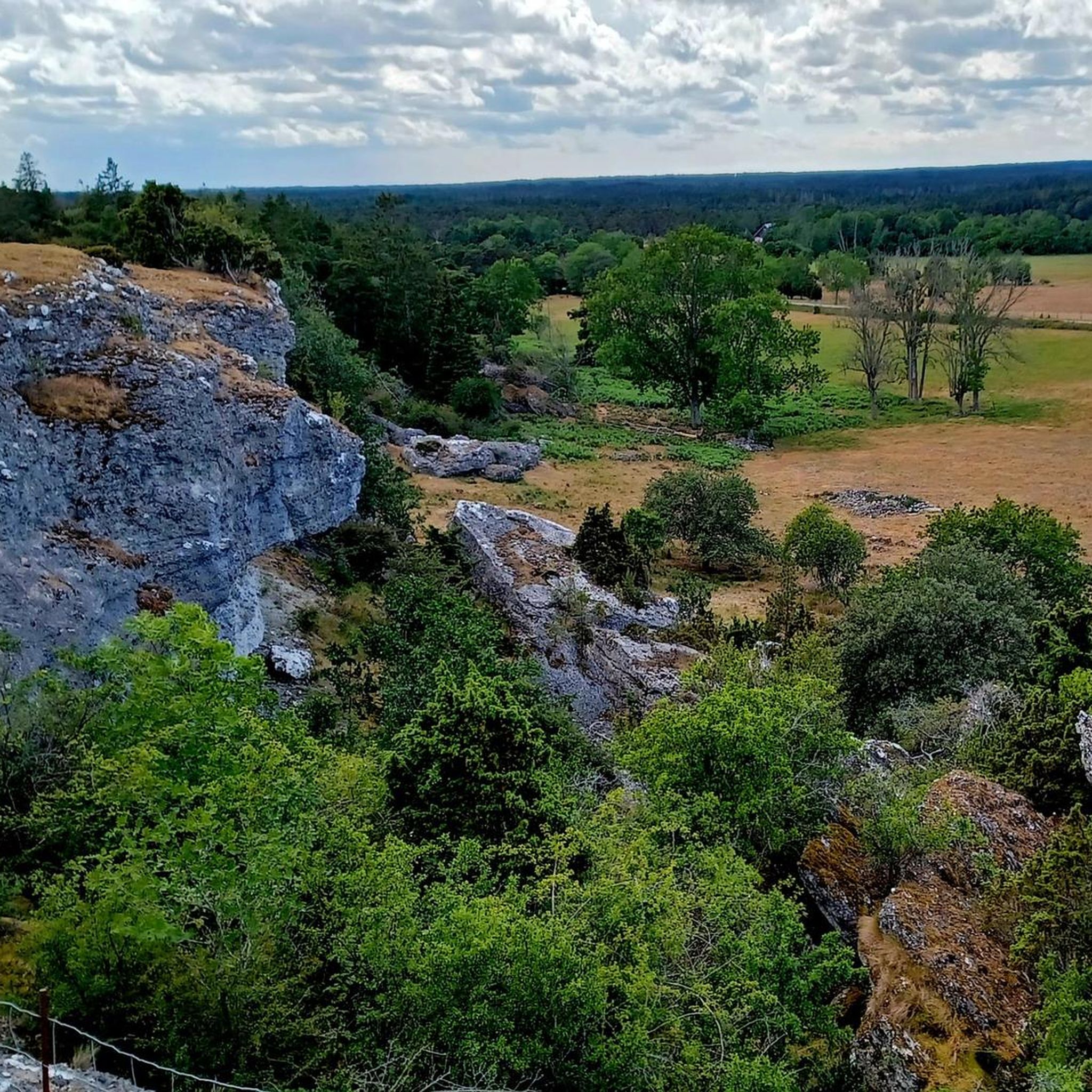
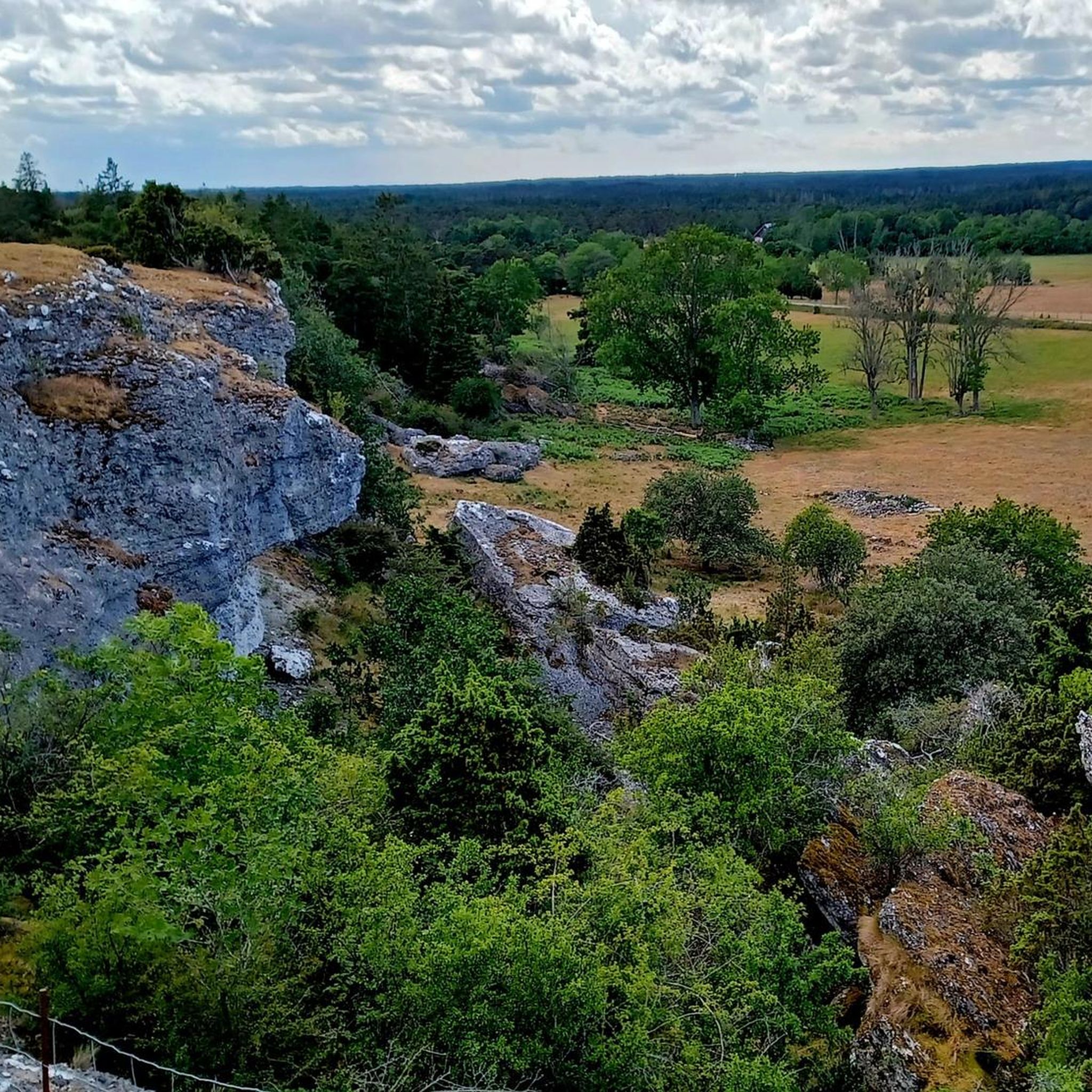
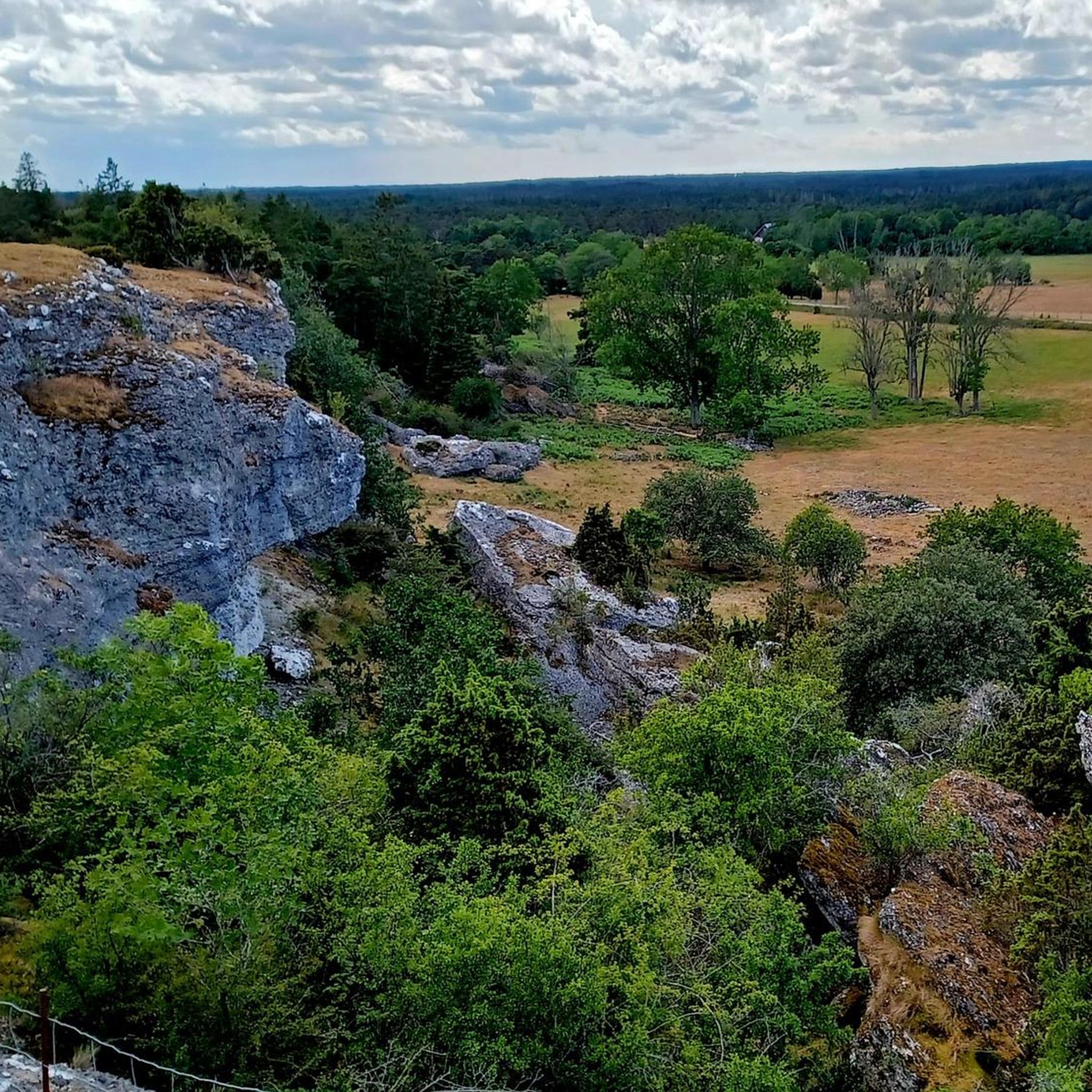
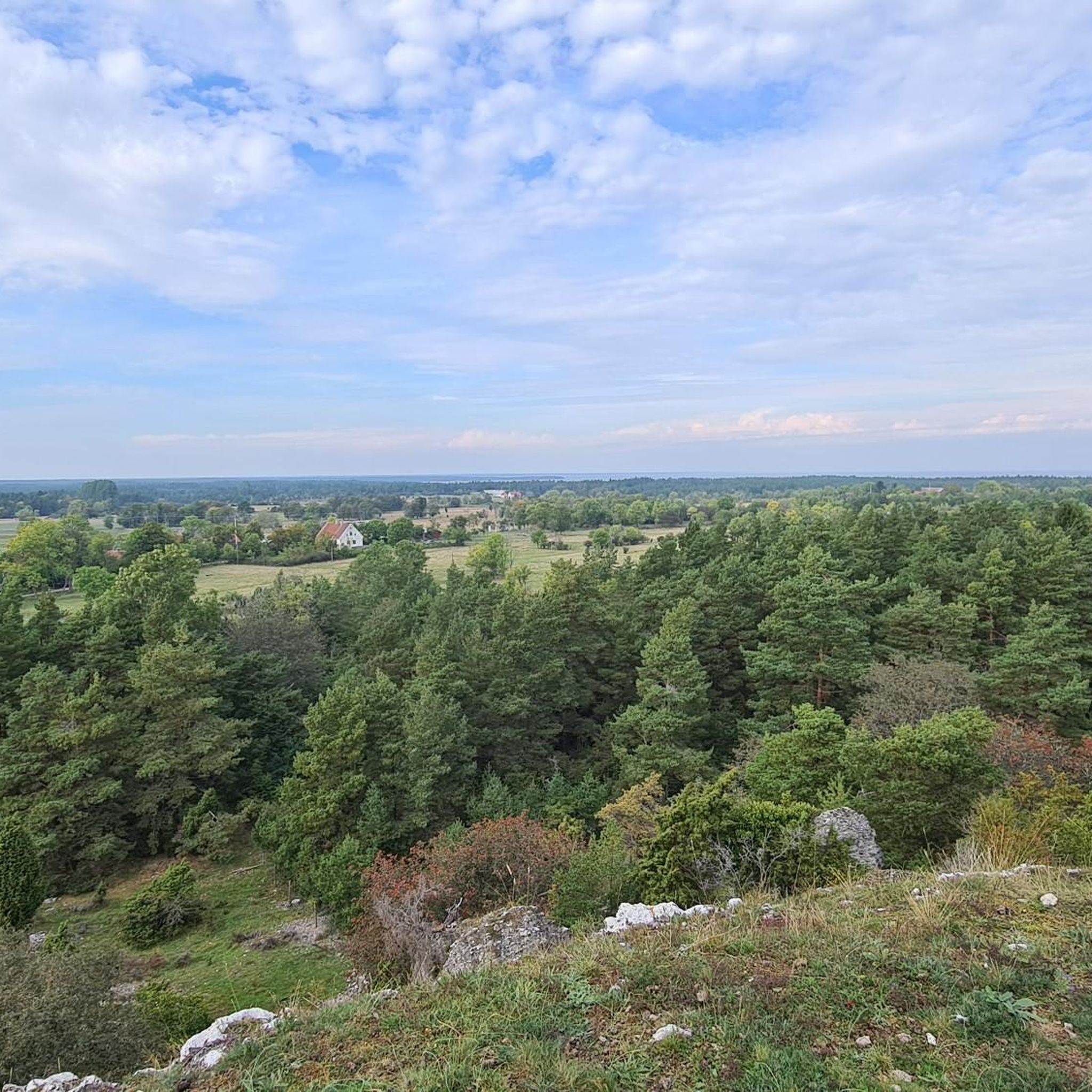
Hiking in Östergarnsberget offers diverse landscapes and unique natural features on the island of Gotland. The region is characterized by a flat, semicircular plateau rising to over 42 meters above sea level, bordered by steep cliffs ranging from 5 to 15 meters high. The plateau features open alvar limestone pavement interspersed with sparse pine forests, providing varied terrain for exploration. Expansive views over the Östergarnslandet region can be enjoyed from viewpoints like Mattsarveklint.
Best hiking trails in Östergarnsberget
- The most…
Last updated: July 7, 2026
4.8
(4)
11
hikers
6.18km
01:36
30m
30m
Explore the easy 3.8-mile (6.2 km) Östergarnsberget Naturslingan hike, featuring panoramic views from Mattsarveklint and diverse Gotland sce
7
hikers
Hard hike. Very good fitness required. Easily-accessible paths. Suitable for all skill levels.

Sign up for free
3.5
(2)
12
hikers
Moderate hike. Good fitness required. Easily-accessible paths. Suitable for all skill levels.
5.0
(1)
7
hikers
Moderate hike. Good fitness required. Easily-accessible paths. Suitable for all skill levels.
3.7
(3)
7
hikers
5.51km
01:24
20m
20m
Easy hike. Great for any fitness level. Easily-accessible paths. Suitable for all skill levels.
Get access to more routes and recommendations from other explorers.
Sign up for free
Already have an account?
Our route recommendations are based on thousands of hikes, rides, and runs completed by other people on komoot.
Start today with a free account
Your next adventure awaits.
Login or Signup
Tips from the Community


Herrvik is a location on the east coast of Gotland, known for its landscape featuring sand dunes and pine trees, which has inspired writers like Antje Rávic Strubel in her literary works. The area has also been involved in discussions about water management, including desalination efforts due to limited alternatives for accessing good quality water.
0
0

Beautiful and relaxed harbor with a good restaurant.
0
0

There are many traces of former limestone mining on Östergarnsberget. Here, you'll find a restored ruin of a lime kiln, measuring 15 meters in diameter and 8 meters high.
0
0


Great location in the nature reserve. Easy to reach on a variety of hiking trails.
0
0
Quiet fishing village, beautifully situated, connected to easily walkable hiking trails. A parking lot is also available.
1
0
Frequently Asked Questions
How many hiking trails are available in Östergarnsberget?
Östergarnsberget offers a good selection of routes, with over 20 hiking trails to explore. These range in difficulty from easy nature walks to more challenging loops, catering to various experience levels.
What kind of terrain can I expect when hiking in Östergarnsberget?
The terrain in Östergarnsberget is quite varied. You'll find a relatively flat plateau featuring open alvar (limestone pavement) interspersed with sparse pine forests. The plateau is bordered by steep cliffs, 5 to 15 meters high, particularly to the northwest, north, and northeast, with scree slopes below. The 14-hectare Gannemyr wetland is also located on the plateau.
Are there any easy, family-friendly hiking options in Östergarnsberget?
Yes, Östergarnsberget has several easy trails suitable for families. A great option is the well-marked 6-kilometer nature trail, Östergarnsberget Naturslingan, which encircles a significant portion of the reserve and is considered easy, taking about 1 hour 35 minutes to complete.
What are the best viewpoints in Östergarnsberget?
For expansive views over the Östergarnslandet region, head to Mattsarveklint. The dramatic cliffs bordering the plateau also offer panoramic vistas, especially to the northwest, north, and northeast.
Are there any circular walks in Östergarnsberget?
Yes, there are several circular routes. The Östergarnsberget Naturslingan is a well-known 6.2 km nature trail that forms a loop. For a more challenging option, consider the Fishermen's Huts by the Lake – Cliffs of Grogarnsberget loop from Östergarnsberget, which is 11 km long.
What natural features can I see while hiking in Östergarnsberget?
Hikers can observe diverse natural features, including open alvar landscapes, sparse pine forests, and unique plant species like hart's-tongue fern, green spleenwort, and various orchids. The 14-hectare Gannemyr wetland is also a notable feature on the plateau.
Are there any historical sites or landmarks to explore in Östergarnsberget?
Yes, the area has historical significance. You can find clear traces of historical limestone quarrying at several locations. Near the foot of the berg, close to the turn-off to Katthammarsvik, old lime kilns are present. Adjacent to these is Flyktingkällan (Refugee Spring), a memorial to Latvian refugees from World War II.
What is the difficulty level of hikes in Östergarnsberget?
Östergarnsberget offers a range of difficulties. There are 10 easy routes, such as the Östergarnsberget Naturslingan. You'll also find 11 moderate trails and 1 difficult route, like the 21.1 km Cliffs of Grogarnsberget – Herrvik Fishing Harbor loop from Östergarnsberget, which features coastal cliffs.
What do other hikers enjoy most about hiking in Östergarnsberget?
The area is highly rated by the komoot community, with an average score of 4.5 stars from over 60 reviews. Hikers often praise the diverse landscapes, the unique natural features like the alvar and cliffs, and the panoramic views, especially from Mattsarveklint.
Is Östergarnsberget suitable for dog-friendly walks?
While specific dog-friendly regulations aren't detailed, the varied terrain with open alvar and forest paths generally provides good opportunities for walks with dogs, provided they are kept under control, especially in areas with unique flora or birdlife. Always check local signage for any specific restrictions within the nature reserve.
Are there any long-distance or challenging hikes in the area?
For those seeking a challenge, the Cliffs of Grogarnsberget – Herrvik Fishing Harbor loop from Östergarnsberget is a difficult 21.1 km path that features coastal cliffs and leads towards the Herrvik Fishing Harbor. It's the most challenging route listed in the area.
Most popular routes in Östergarnsberget

Get inspired with the komoot mobile app


Explore more
Browse the best Hikes in other regions.
