The best mountain hikes in Naturschutzgebiet - Teil Der Steirischen Nockberge
4.8
(52)
467
hikers
25
hikes
Mountaineering routes in Naturschutzgebiet - Teil Der Steirischen Nockberge traverse a landscape characterized by rounded, grassy peaks, alpine meadows, and coniferous forests. This nature reserve, part of the larger Nockberge range, offers diverse terrain for mountaineers. The region features elevations that provide panoramic views without the ruggedness of more jagged mountain ranges.
Best mountaineering routes in Naturschutzgebiet - Teil Der Steirischen Nockberge
- The most popular mountaineering route is Turracher See – Salzsteig Trail loop from Turracher Höhe, a 6.2…
Last updated: September 29, 2026
13
hikers
Hard mountaineering route. Good fitness required. Sure-footedness, sturdy shoes and alpine experience required.
4.0
(5)
26
hikers
8.10km
03:18
530m
530m
Hard mountaineering route. Good fitness required. Sure-footedness, sturdy shoes and alpine experience required.

5.0
(3)
19
hikers
12.9km
04:56
740m
740m
Hard mountaineering route. Good fitness required. Sure-footedness, sturdy shoes and alpine experience required.
5.0
(1)
13
hikers
6.52km
02:24
340m
340m
Moderate mountaineering route. Good fitness required. Mostly accessible paths. Sure-footedness required.
9
hikers
7.80km
03:12
530m
530m
Hard mountaineering route. Good fitness required. Sure-footedness, sturdy shoes and alpine experience required.
Get access to more routes and recommendations from other explorers.
Already have an account?
Our route recommendations are based on thousands of hikes, rides, and runs completed by other people on komoot.
Start today with a free account
Your next adventure awaits.
Popular around Naturschutzgebiet - Teil Der Steirischen Nockberge
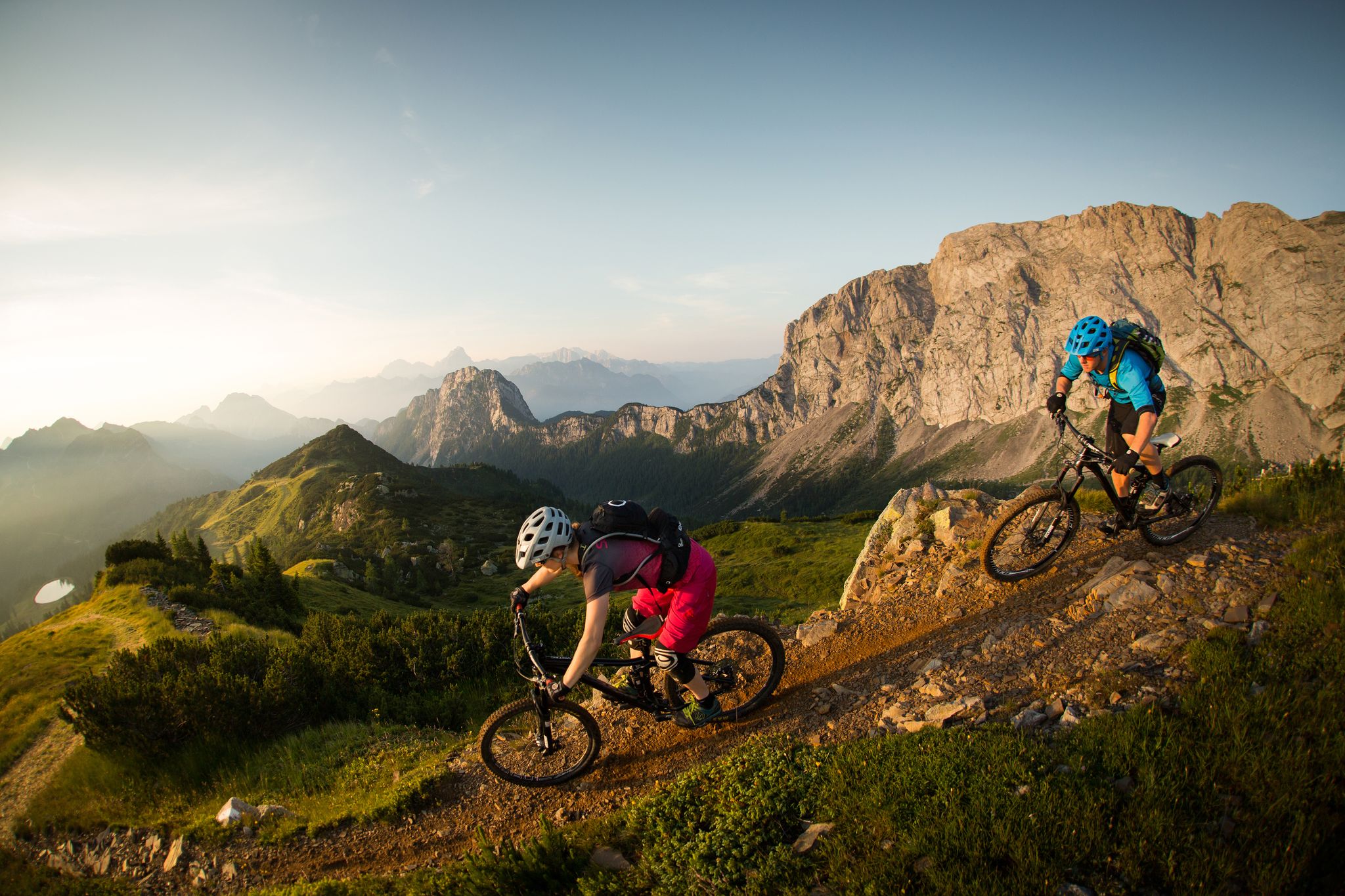
Flow as an attitude to life – 5 Flow Trails Carinthia in south Austria
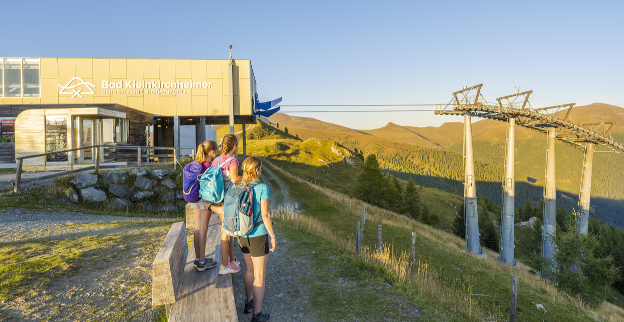
Mit Aufstiegshilfe ins Wandererlebnis auf über 2.000 Meter
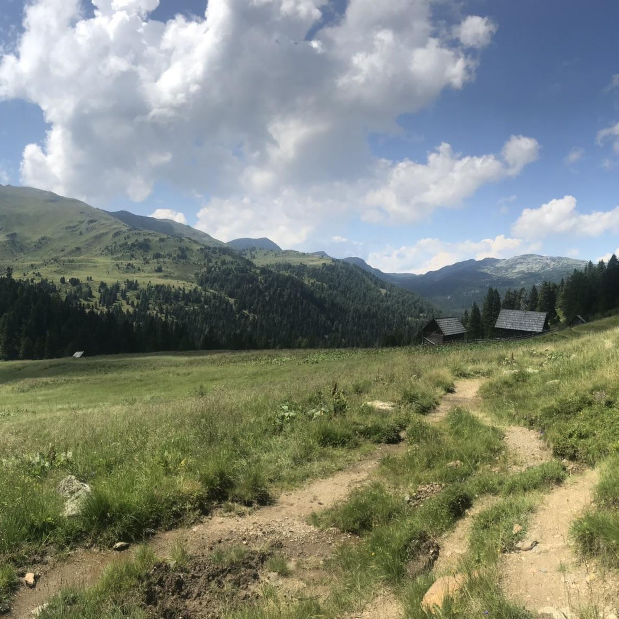
Hiking in Naturschutzgebiet - Teil Der Steirischen Nockberge
MTB Trails in Naturschutzgebiet - Teil Der Steirischen Nockberge
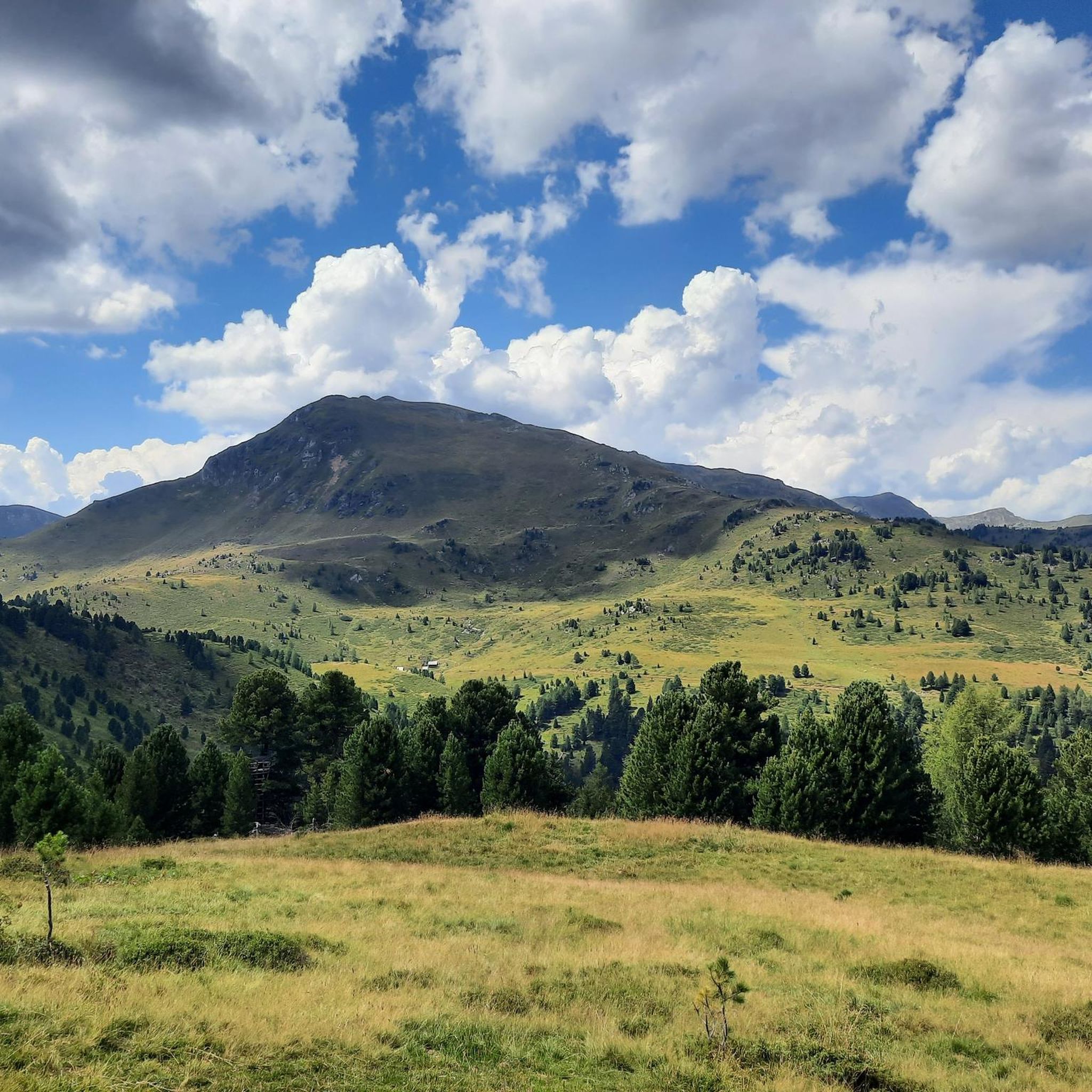
Running Trails in Naturschutzgebiet - Teil Der Steirischen Nockberge
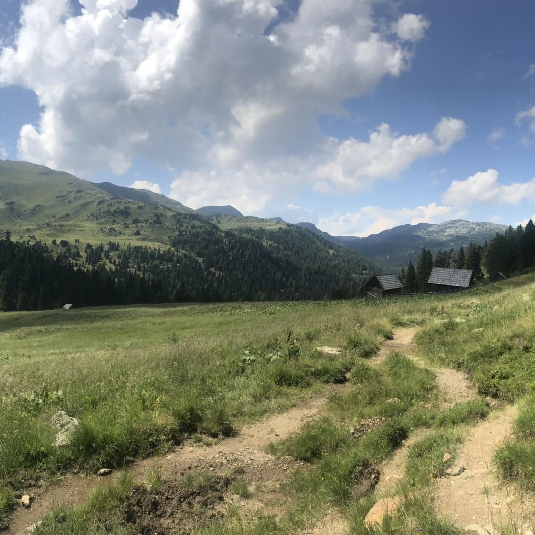
Cycling in Naturschutzgebiet - Teil Der Steirischen Nockberge
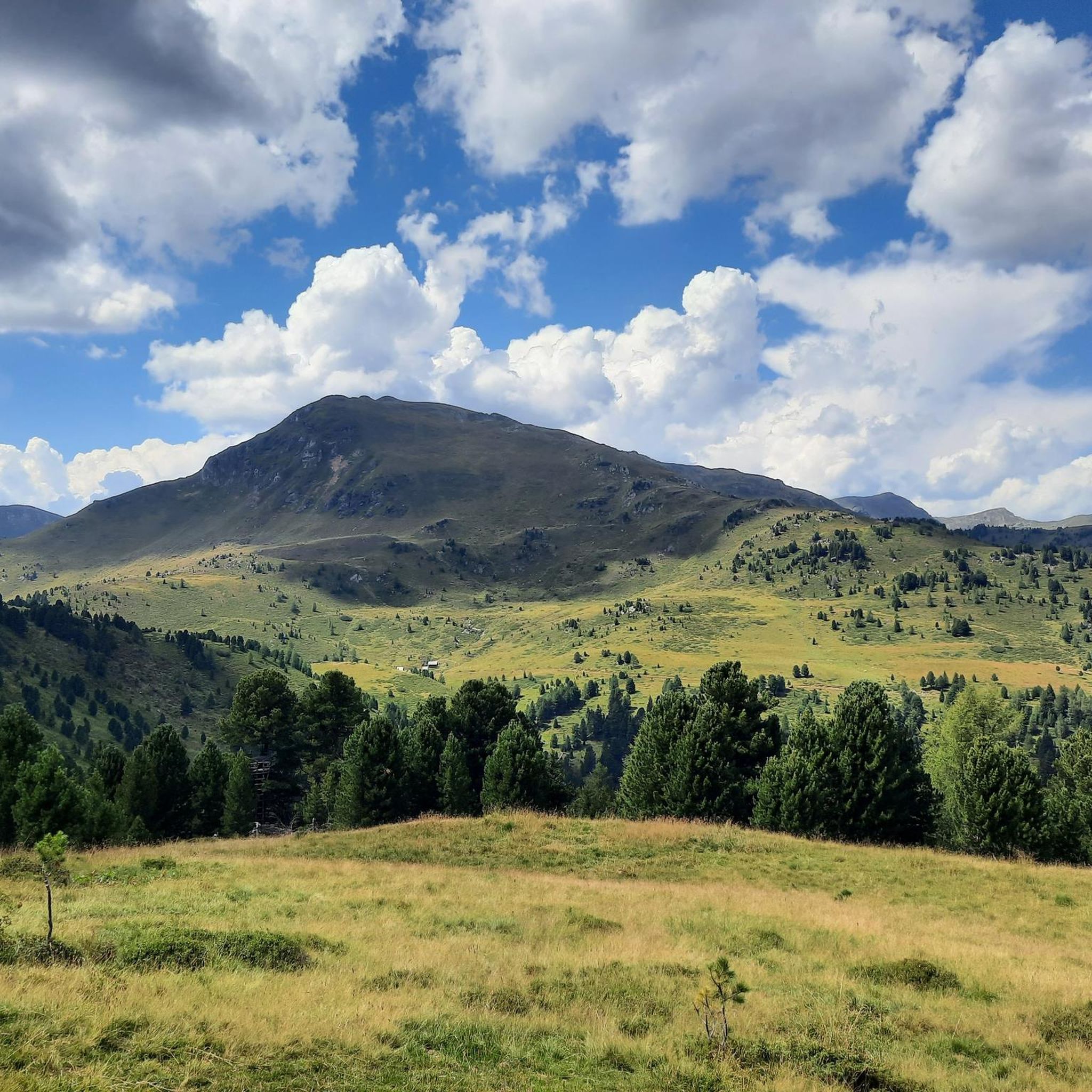
Road Cycling Routes in Naturschutzgebiet - Teil Der Steirischen Nockberge
Other adventures in Naturschutzgebiet - Teil Der Steirischen Nockberge


Tips from the Community

Allows for a good run even without poles.
1
0
Unfortunately, it is only open until 4 PM
2
0

Magnificent view over the Nock Mountains. Especially towards Vilklach from above the clouds.
0
0

Great hiking trail! It is excellent for a family hike. Sturdy shoes, weather-appropriate clothing – and off you go.
0
0
Very beautiful trail along lush meadows. If you're a little lucky, you'll see the marmots.
0
0

beautiful transition from Rosaninsee to Königstuhl
0
0

A fantastic mountain peak with breathtaking panoramic views, provided the fickle weather forecasters in the Nockberge mountains allow it.
0
0
Great viewpoint with beautiful downhill slopes
0
0
Frequently Asked Questions
How many mountaineering routes are available in Naturschutzgebiet - Teil Der Steirischen Nockberge?
There are over 30 mountaineering routes documented in Naturschutzgebiet - Teil Der Steirischen Nockberge, offering a range of experiences from moderate to difficult. The region is known for its rounded, grassy peaks and alpine meadows.
Are there any easy or beginner-friendly mountaineering routes in the Nockberge region?
While most routes are classified as moderate or difficult, some moderate trails can be suitable for beginners with a good level of fitness. For example, the Großer Königsstuhl (2,336 m) – Ascent to Großer Königstuhl loop from "Eisentalhöhe" is a moderate 6.5 km route that takes around 2 hours 23 minutes, offering a taste of the Nockberge's unique landscape.
What are some good circular mountaineering routes in Naturschutzgebiet - Teil Der Steirischen Nockberge?
Many routes in the region are designed as loops, allowing you to start and end at the same point. A popular choice is the Turracher See – Salzsteig Trail loop from Turracher Höhe, a moderate 9.9 km trail that offers scenic views of Turracher See and the surrounding alpine landscape.
Are there any challenging mountaineering routes for experienced hikers?
Yes, the region offers several difficult routes for experienced mountaineers. The Kornock Summit loop from Turracher Höhe is a challenging 8.1 km path ascending to the Kornock Summit, providing expansive vistas across the Nockberge. Another demanding option is the Ridge Hike to Rinsennock – Rinsennock Summit (2,334 m) loop from Turracher Höhe, which covers nearly 13 km.
What kind of natural attractions can I see along the mountaineering routes?
The routes often lead to stunning natural landmarks. You can reach summits like Königstuhl Summit, Großer Königsstuhl (2,336 m), and Rinsennock Summit (2,334 m), offering fascinating mountain panoramas. The region is characterized by its unique rounded peaks and high-altitude meadows.
What is the best time of year for mountaineering in Naturschutzgebiet - Teil Der Steirischen Nockberge?
The best time for mountaineering in the Nockberge region is typically from late spring to early autumn (June to September) when the trails are clear of snow and the alpine meadows are in full bloom. Always check local weather conditions before heading out, as mountain weather can change rapidly.
Are there any family-friendly mountaineering options in the Nockberge?
While specific 'family-friendly' designations aren't provided for mountaineering, routes with moderate difficulty and shorter durations, such as the Ascent to Großer Königstuhl – Großer Königsstuhl (2,336 m) loop from Winkl (7.9 km, 3h 15m), could be suitable for families with older children who are accustomed to hiking. Always assess the fitness level of all participants.
What do other mountaineers say about the routes in Naturschutzgebiet - Teil Der Steirischen Nockberge?
The routes in Naturschutzgebiet - Teil Der Steirischen Nockberge are highly rated by the komoot community, with an average score of 4.8 stars from over 50 reviews. Mountaineers often praise the diverse terrain, the panoramic views from the rounded peaks, and the well-maintained trails through alpine meadows and coniferous forests.
Is it possible to find less crowded mountaineering trails in the Nockberge region?
While popular routes can see more visitors, the Naturschutzgebiet - Teil Der Steirischen Nockberge offers a network of over 30 routes. Exploring some of the less-known moderate or difficult trails, especially during weekdays or outside of peak season, can lead to a more secluded experience. The region's vastness allows for finding quieter spots.
Are there any cafes or refreshment stops near the mountaineering routes?
Many of the starting points for routes, such as Turracher Höhe, are small alpine villages or resorts that offer guesthouses, restaurants, and cafes where you can refuel before or after your mountaineering trip. It's always a good idea to check opening times, especially outside of the main tourist season.
What is the typical duration for a mountaineering route in this area?
Mountaineering routes in Naturschutzgebiet - Teil Der Steirischen Nockberge vary in duration. Moderate routes can take around 2.5 to 3.5 hours, such as the Ascent to Großer Königstuhl – Großer Königsstuhl (2,336 m) loop from Winkl at 3 hours 15 minutes. More difficult and longer routes, like the Ridge Hike to Rinsennock – Rinsennock Summit (2,334 m) loop from Turracher Höhe, can take closer to 5 hours.
Most popular routes in Naturschutzgebiet - Teil Der Steirischen Nockberge
Most popular attractions in Naturschutzgebiet - Teil Der Steirischen Nockberge

Get inspired with the komoot mobile app


Explore more
Browse the best Mountain Hikes & Routes in other regions.
