The best running trails in Schutzzone Rothirsch
4.4
(178)
3,736
runners
92
runs
Jogging routes in Schutzzone Rothirsch offer a diverse landscape for runners, characterized by alpine terrain, forested paths, and scenic water features. The region features a mix of challenging mountain trails leading to summits and more gentle routes through valleys. Runners can expect varied elevations, from moderate climbs to significant ascents, providing options for different fitness levels.
Best jogging routes in Schutzzone Rothirsch
- The most popular jogging route is Resterhöhe Summit Cross – Panorama Alpine Hut loop from Jochberg, a…
Last updated: October 11, 2026
144
runners
43.5km
05:58
2,200m
2,200m
Hard run. Very good fitness required. Mostly paved surfaces. Suitable for all skill levels.
17
runners
12.3km
01:22
260m
260m
Moderate run. Good fitness required. Mostly paved surfaces. Suitable for all skill levels.

5.0
(1)
5
runners
11.9km
01:29
530m
530m
Hard run. Very good fitness required. Mostly paved surfaces. Suitable for all skill levels.
4.5
(2)
28
runners
8.03km
00:53
170m
170m
Moderate run. Good fitness required. Mostly paved surfaces. Suitable for all skill levels.
18
runners
11.6km
01:41
460m
460m
Hard run. Very good fitness required. Sure-footedness, sturdy shoes and alpine experience required.
Get access to more routes and recommendations from other explorers.
Already have an account?
Our route recommendations are based on thousands of hikes, rides, and runs completed by other people on komoot.
Start today with a free account
Your next adventure awaits.

Tips from the Community

Unfortunately, we caught the rest day, Thursday, but we sat on the bench and ate our snack with the farm cat😉
1
0

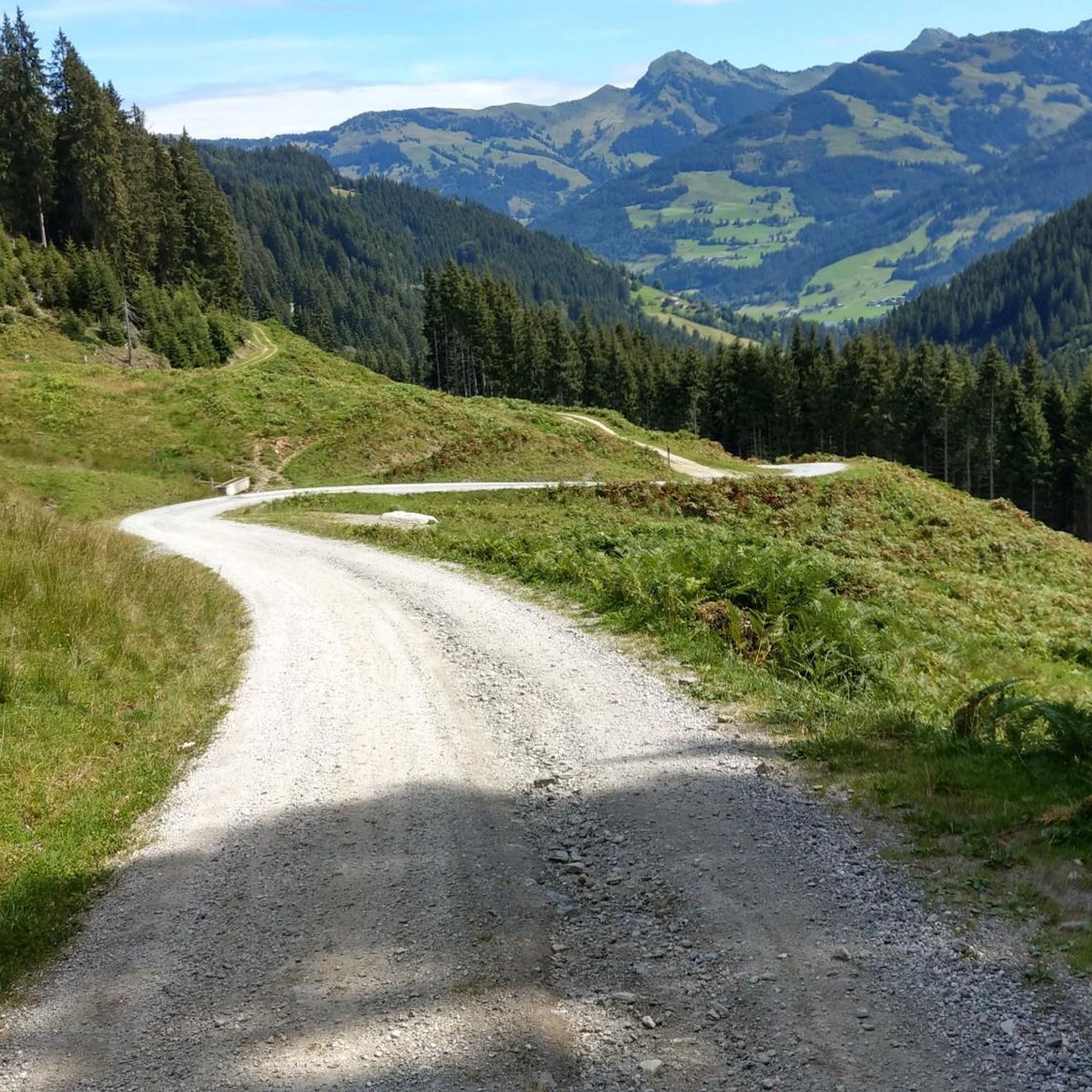
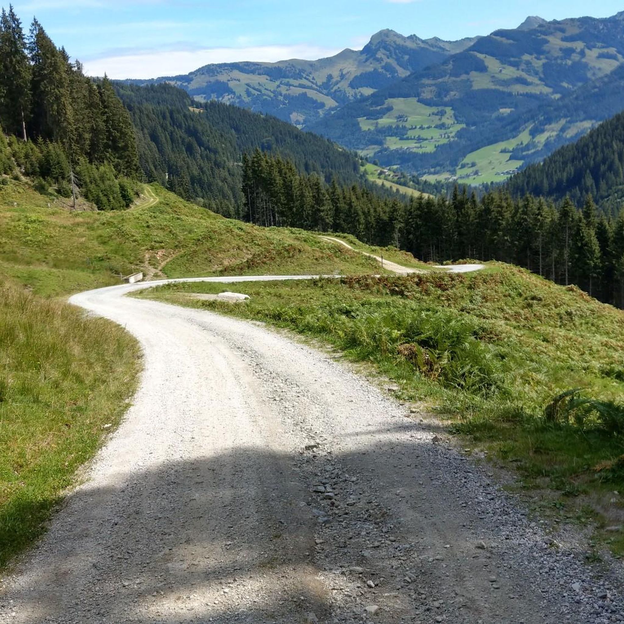
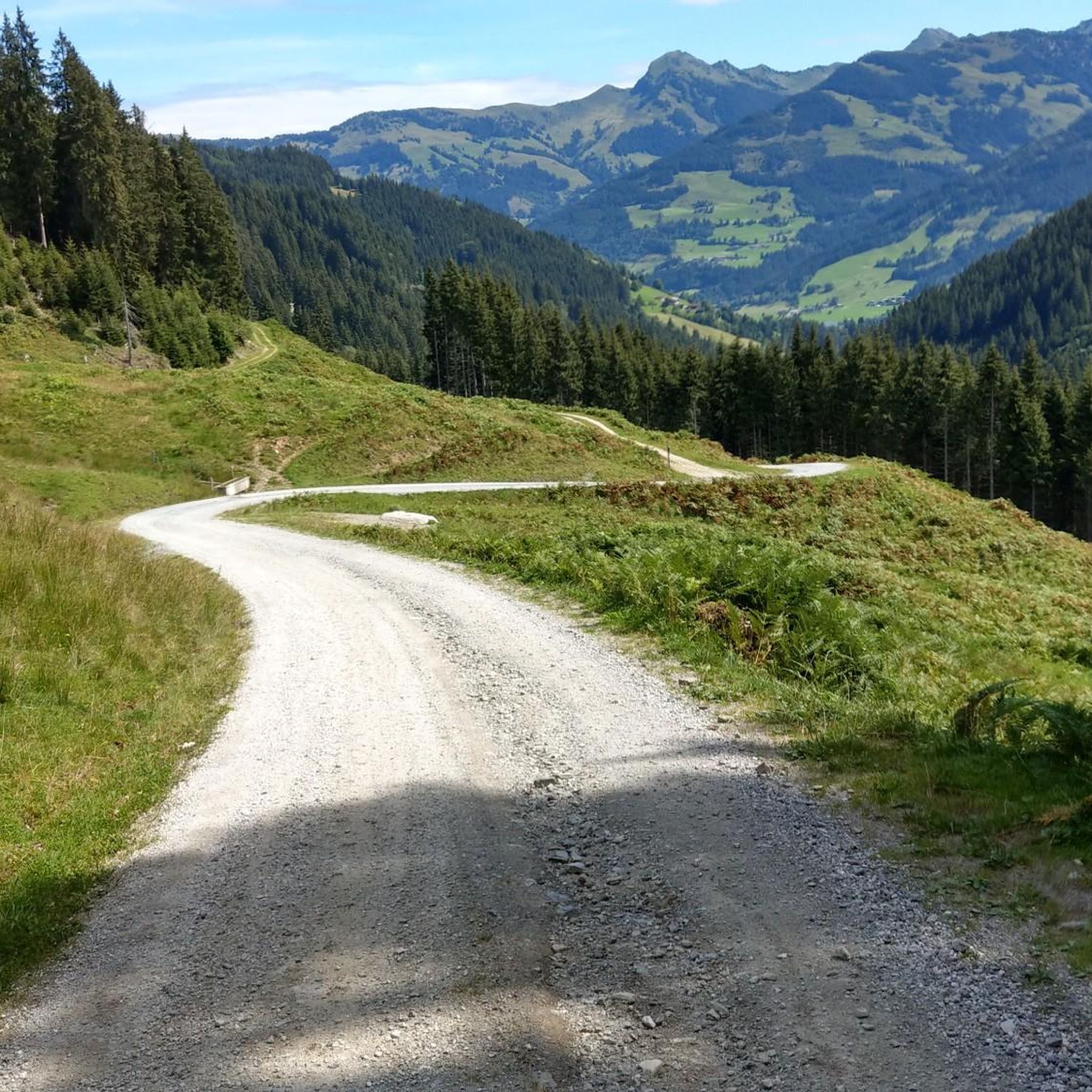
Great slope, let it rip here ;)
0
0


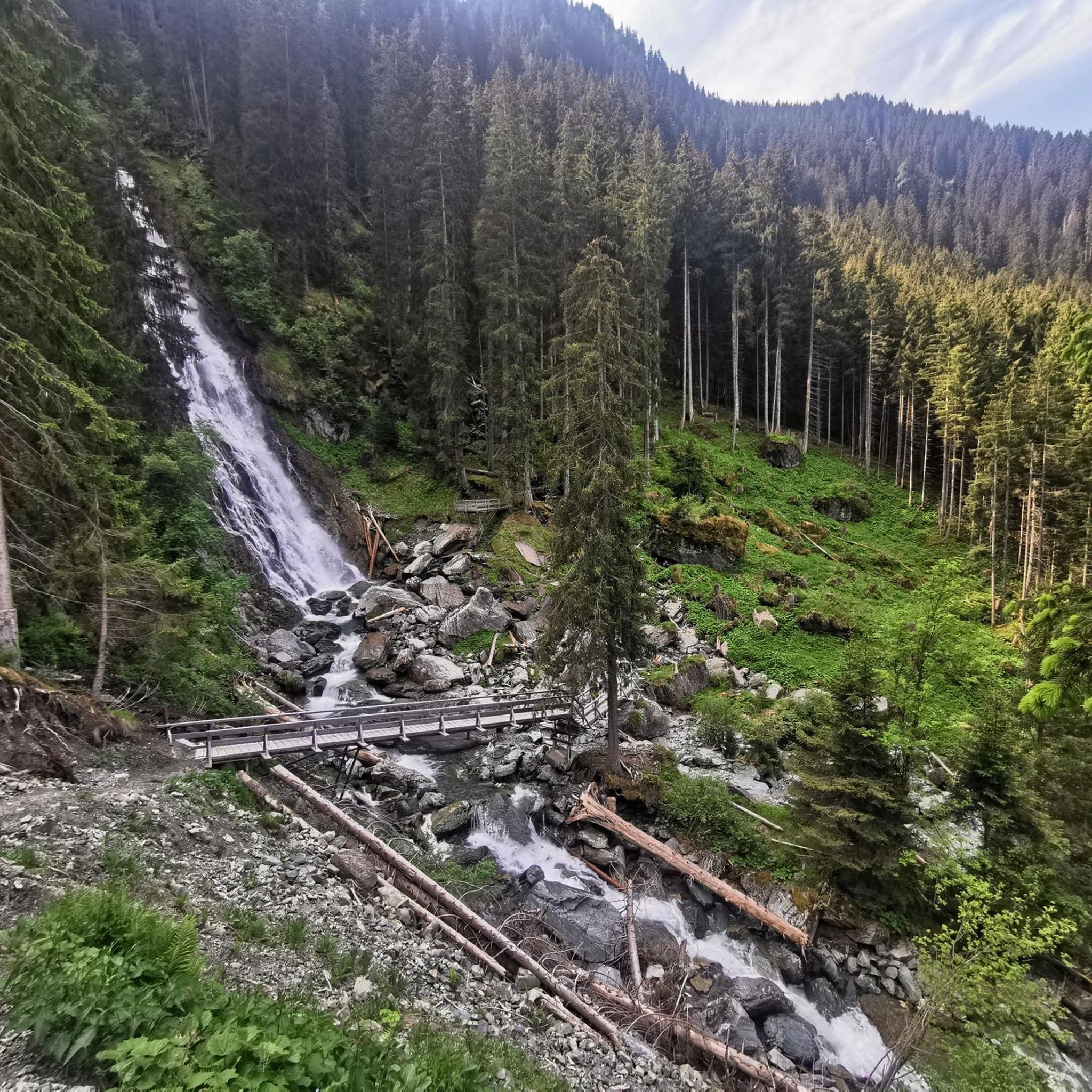
Good footwear, several platforms directly at the waterfall, continue to the Wildalm for a stop
1
0

Spectacular waterfall with a drop of over 85 m. Easily accessible in a small side valley of Jochberg. During the snow melt in spring, the waterfall carries a particularly large amount of water and is then even more impressive.
3
0

Super great terrace with a view of the Tauern, top service and good food.
3
0

After the lower path almost slipped and nobody wants to hike on the edge, a great new path was designed a little higher with some creative ideas.
7
0
A climb that is definitely worth it, especially if you go into the scree in front of the waterfall, the view is much more impressive than from the platform or bridge.
7
0
Frequently Asked Questions
How many running routes are available in Schutzzone Rothirsch?
Schutzzone Rothirsch offers a wide variety of running experiences, with nearly 100 routes available. These range from easy paths through valleys to challenging alpine trails.
Are there easy running paths suitable for beginners in Schutzzone Rothirsch?
Yes, while many routes feature significant elevation, there are options for beginners. For a moderate experience, consider the Saint Wolfgang – Hallerwirt loop from Jochberg, which offers a mix of forest and open terrain with manageable climbs.
What kind of long-distance running trails can I find in Schutzzone Rothirsch?
For those seeking a long-distance challenge, Schutzzone Rothirsch has several demanding routes. The Resterhöhe Summit Cross – Panorama Alpine Hut loop from Jochberg is a notable example, covering over 43 km with significant elevation gain, offering panoramic views.
Are there any circular running routes in Schutzzone Rothirsch?
Many of the running routes in Schutzzone Rothirsch are designed as loops, providing convenient circular options. For instance, the On the 7-Brunnenweg – KAT100 Endurance Checkpoint K2 loop from Jochberg is a moderate circular trail perfect for a scenic run.
Can I bring my dog on the running trails in Schutzzone Rothirsch?
Generally, dogs are welcome on trails in Schutzzone Rothirsch, but it's always recommended to keep them on a leash, especially in areas with wildlife or livestock. Always check local signage for specific restrictions in certain sections or protected areas.
Are there running routes suitable for families with children?
While many routes involve elevation, families can find suitable paths, particularly those in the valleys or with less steep inclines. Look for routes described as 'easy' or 'moderate' and check the elevation profiles to ensure they match your family's fitness level.
What is the best season for running in Schutzzone Rothirsch?
The best season for running in Schutzzone Rothirsch is typically from late spring to early autumn (May to October), when trails are clear of snow and the weather is mild. During these months, you can fully enjoy the alpine scenery and forested paths.
Are there any running routes that feature waterfalls in Schutzzone Rothirsch?
Yes, the region is known for its scenic water features. You can explore routes like the Weiß-Wast Trail – Sintersbacher Waterfall loop from Jochberg, which leads you past the impressive Sintersbacher Waterfall.
What do other runners say about the trails in Schutzzone Rothirsch?
The running routes in Schutzzone Rothirsch are highly rated by the komoot community, with an average score of 4.5 stars from over 150 reviews. Runners often praise the diverse landscapes, from challenging alpine climbs to serene forest paths, and the well-maintained trails.
Are there good viewpoints along the running routes in Schutzzone Rothirsch?
Absolutely. Given the alpine terrain, many routes offer spectacular panoramic views. Trails leading to higher elevations, such as the Resterhöhe Summit Cross – Panorama Alpine Hut loop from Jochberg, are particularly rewarding for their scenic vistas.
How can I access the running trails in Schutzzone Rothirsch by public transport?
Access to trails by public transport varies by starting point. Many routes, including those starting from Jochberg, are often reachable via local bus services. It's advisable to check regional public transport schedules for specific connections to your chosen trailhead.
Where can I find parking for the running trails in Schutzzone Rothirsch?
Parking is generally available at common trailheads and village centers like Jochberg, which serve as starting points for many routes. Look for designated parking areas near popular access points, though some may require a small fee.
Most popular routes in Schutzzone Rothirsch

Get inspired with the komoot mobile app


Explore more
Browse the best Running Trails & Routes in other regions.
