The best running trails in Naturschutzgebiet - Westteil Des Toten Gebirges
4.5
(216)
5,042
runners
184
runs
Jogging routes in Naturschutzgebiet - Westteil Des Toten Gebirges traverse a distinctive karst plateau and mountainous terrain within the Northern Limestone Alps. The region features an extensive high plateau and prominent rock faces, offering varied gradients for running. Numerous lakes, including Grundlsee and Altausseer See, provide tranquil settings for lakeside jogs, while streams and diverse ecosystems add to the natural environment. The area's protected status ensures a pristine setting for outdoor activities.
Best jogging routes in Naturschutzgebiet - Westteil Des…
Last updated: October 8, 2026
4.8
(14)
365
runners
13.8km
01:28
150m
150m
Moderate run. Good fitness required. Mostly paved surfaces. Suitable for all skill levels.
23
runners
Hard run. Very good fitness required. Sure-footedness, sturdy shoes and alpine experience required.

13
runners
10.8km
01:33
470m
470m
Hard run. Very good fitness required. Sure-footedness, sturdy shoes and alpine experience required.
1.0
(1)
25
runners
6.54km
00:41
50m
50m
Moderate run. Good fitness required. Mostly paved surfaces. Suitable for all skill levels.
46
runners
6.07km
00:41
60m
60m
Moderate run. Good fitness required. Mostly paved surfaces. Suitable for all skill levels.
Get access to more routes and recommendations from other explorers.
Already have an account?
Our route recommendations are based on thousands of hikes, rides, and runs completed by other people on komoot.
Start today with a free account
Your next adventure awaits.
Popular around Naturschutzgebiet - Westteil Des Toten Gebirges

North Alpine Trail 01 – Hike across Austria in 49 days
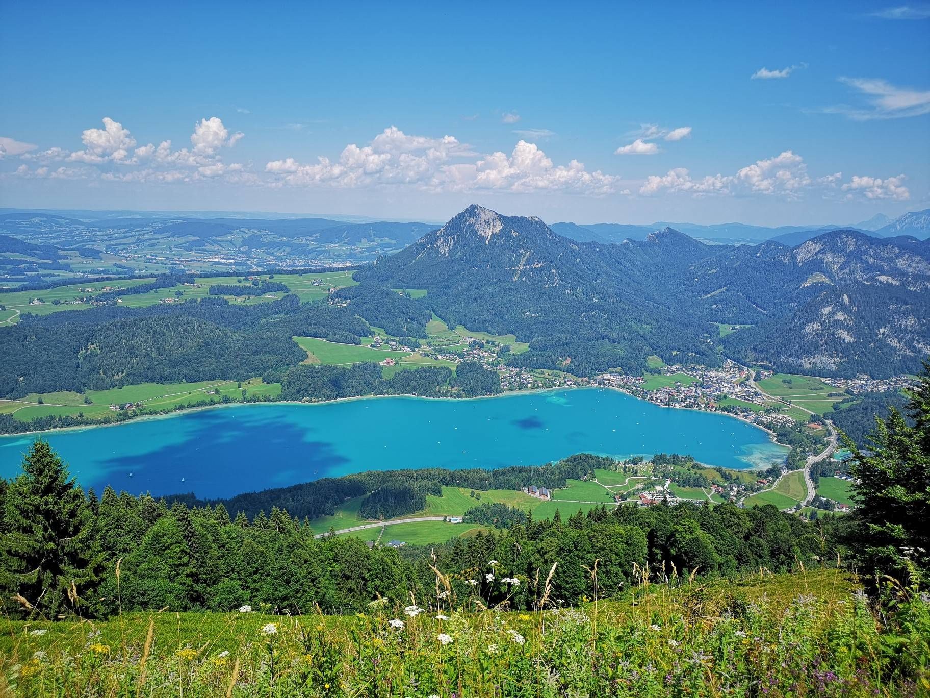
BergeSeen Trail – Long distance hiking in Austria's Salzkammergut with mountains and lakes galore
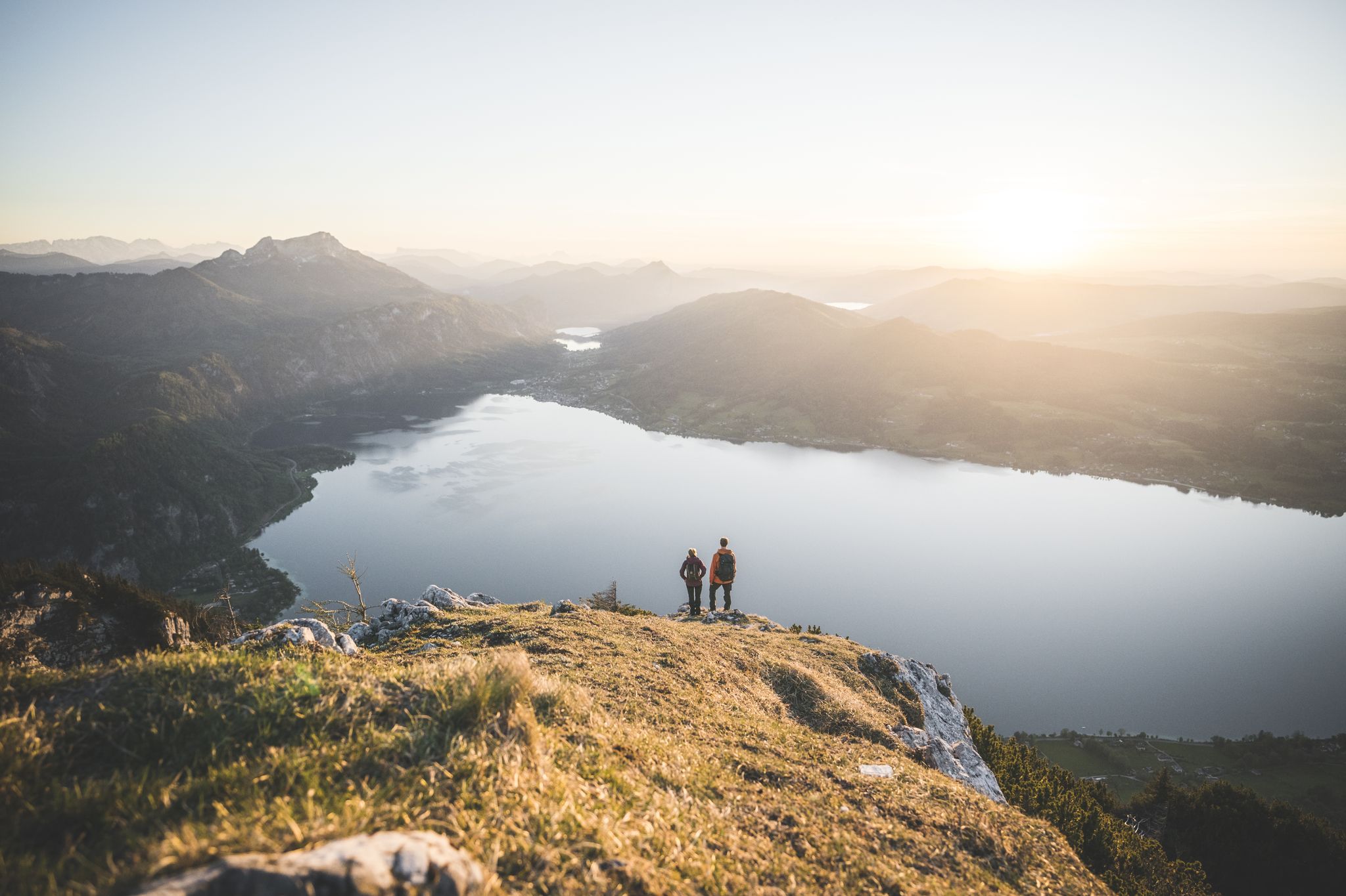
Explore the Salzkammergut on the BergeSeen Trail
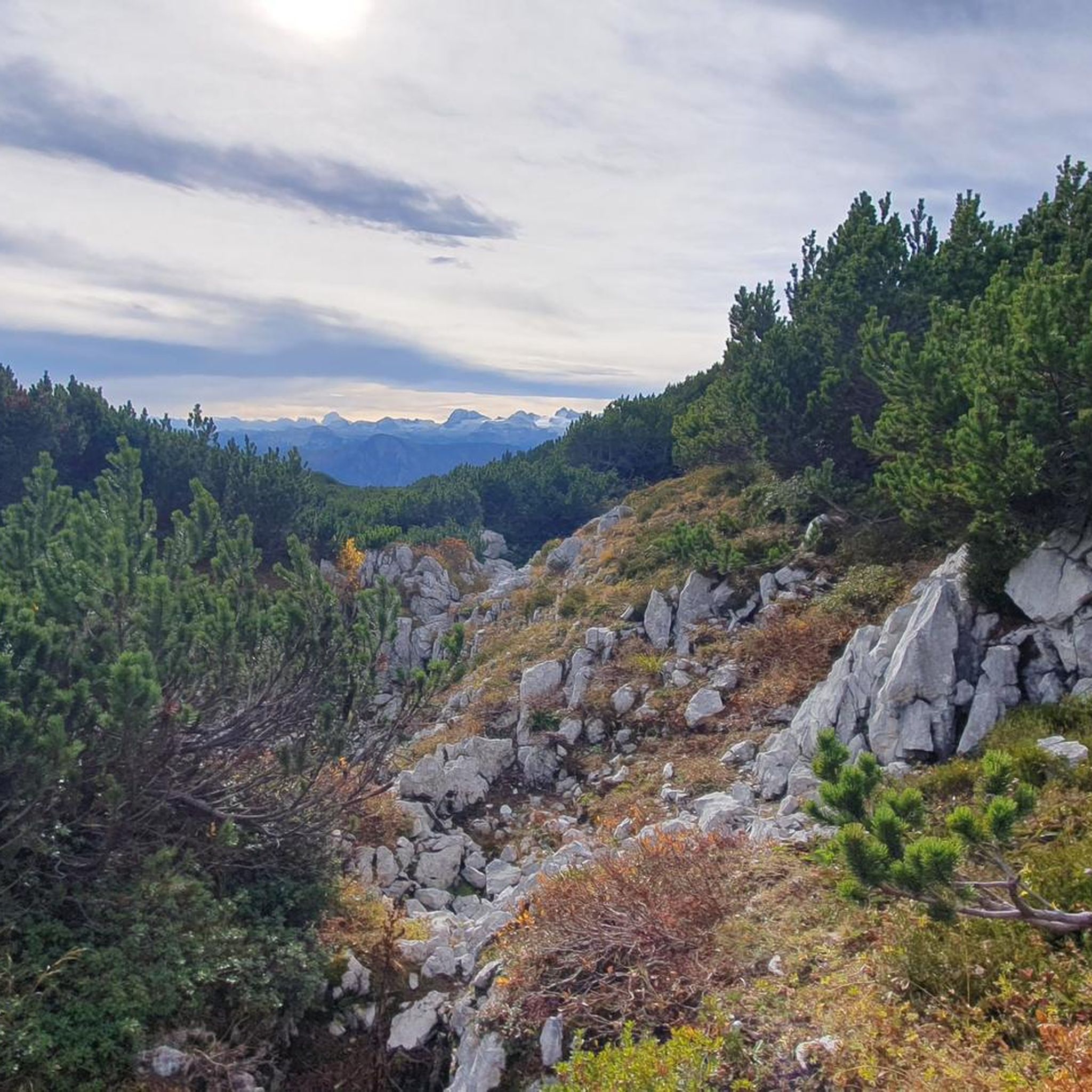
Hiking in Naturschutzgebiet - Westteil Des Toten Gebirges
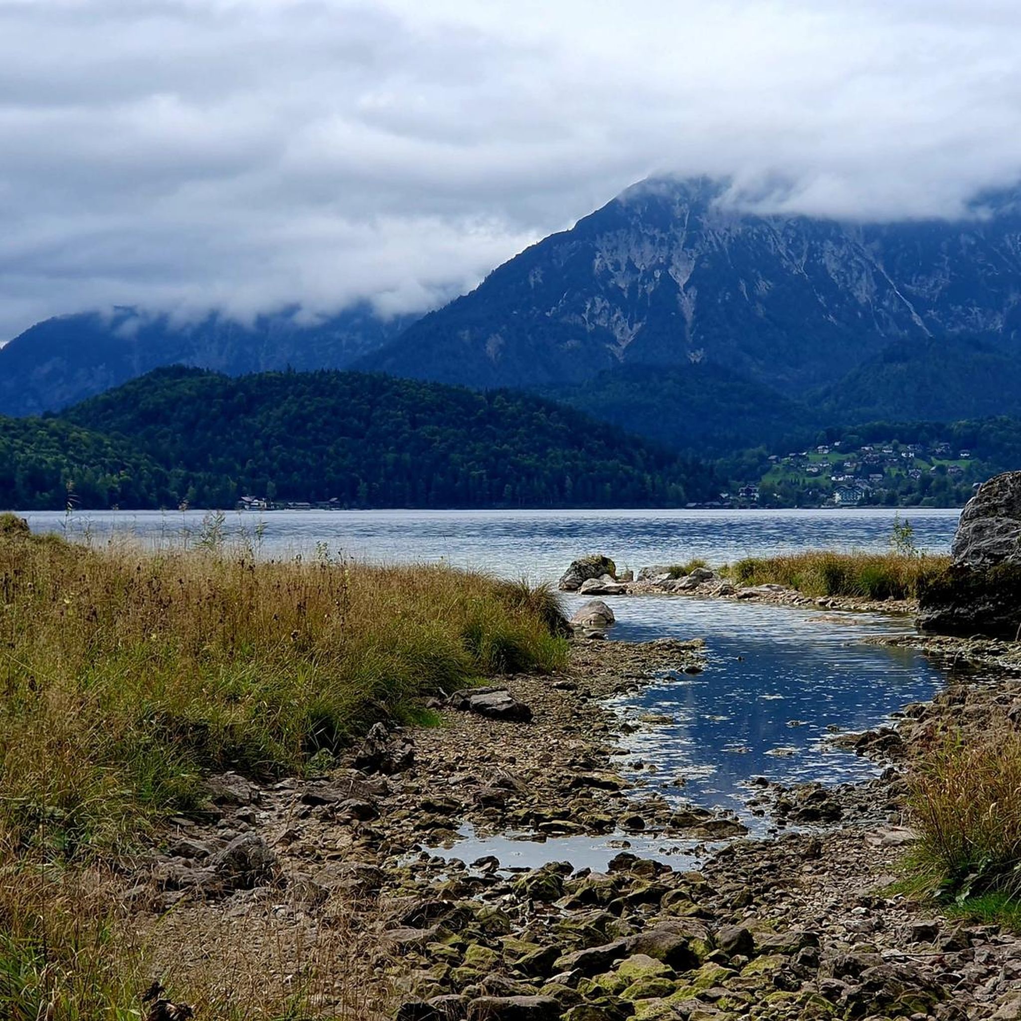
MTB Trails in Naturschutzgebiet - Westteil Des Toten Gebirges
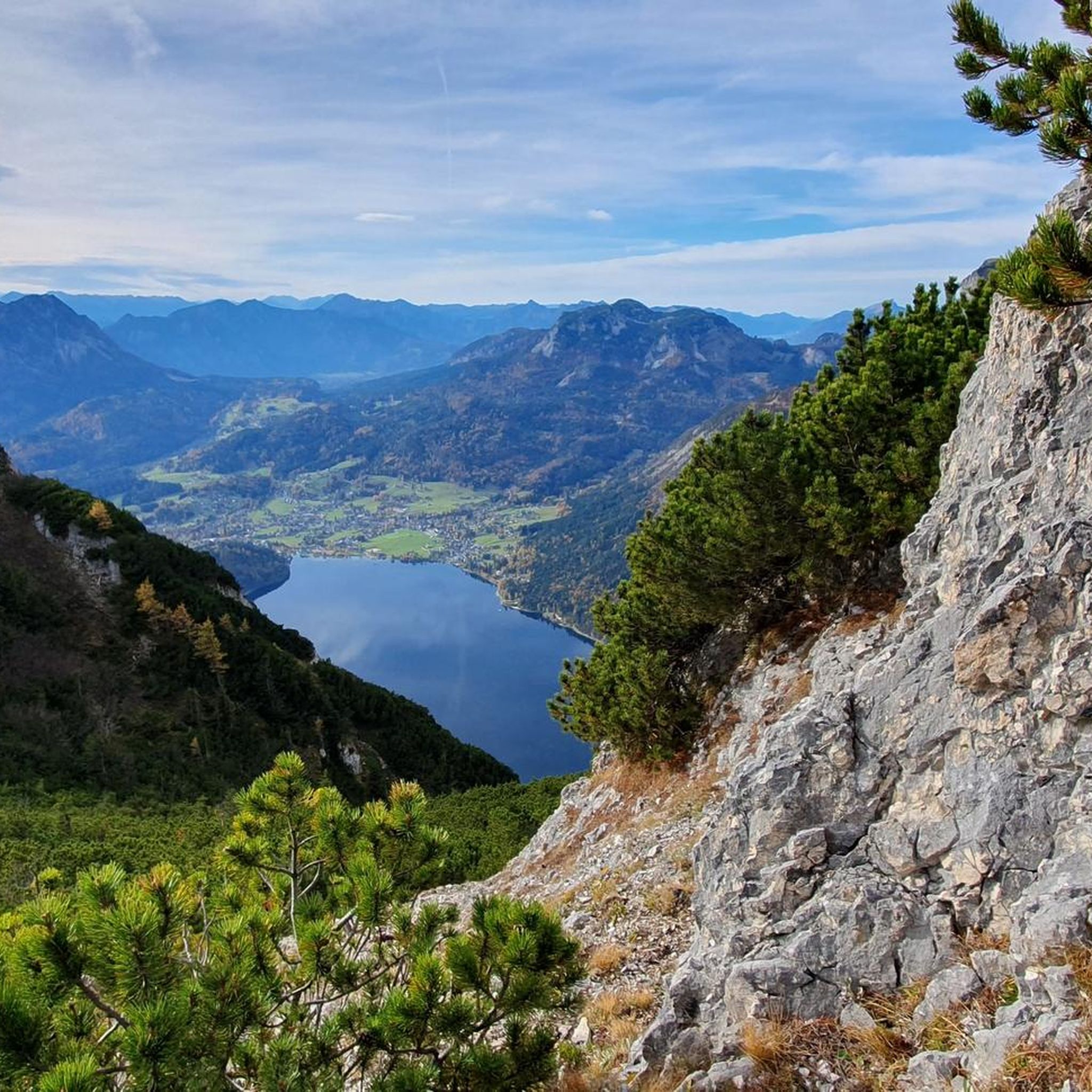
Cycling in Naturschutzgebiet - Westteil Des Toten Gebirges
Mountain Hikes in Naturschutzgebiet - Westteil Des Toten Gebirges
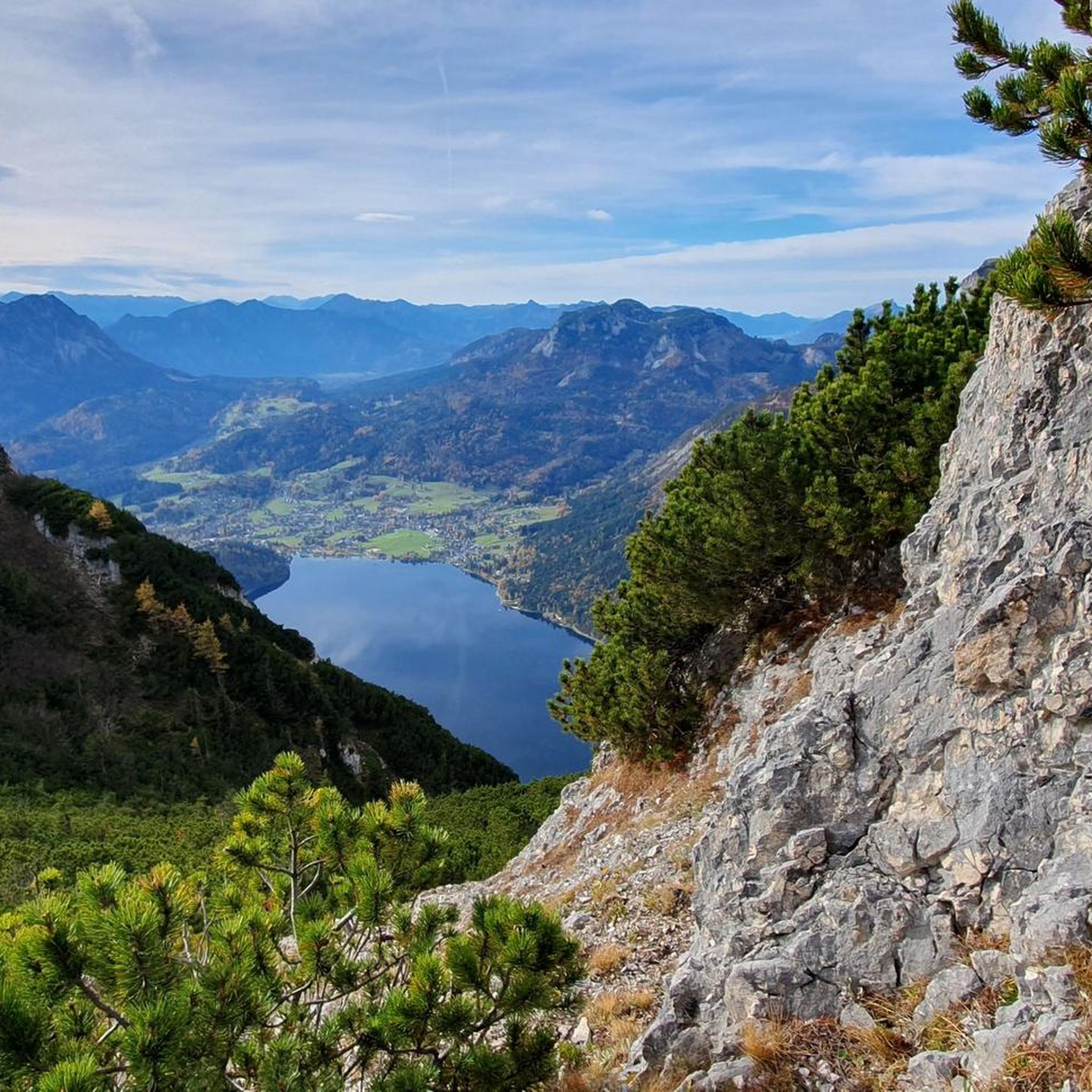
Road Cycling Routes in Naturschutzgebiet - Westteil Des Toten Gebirges
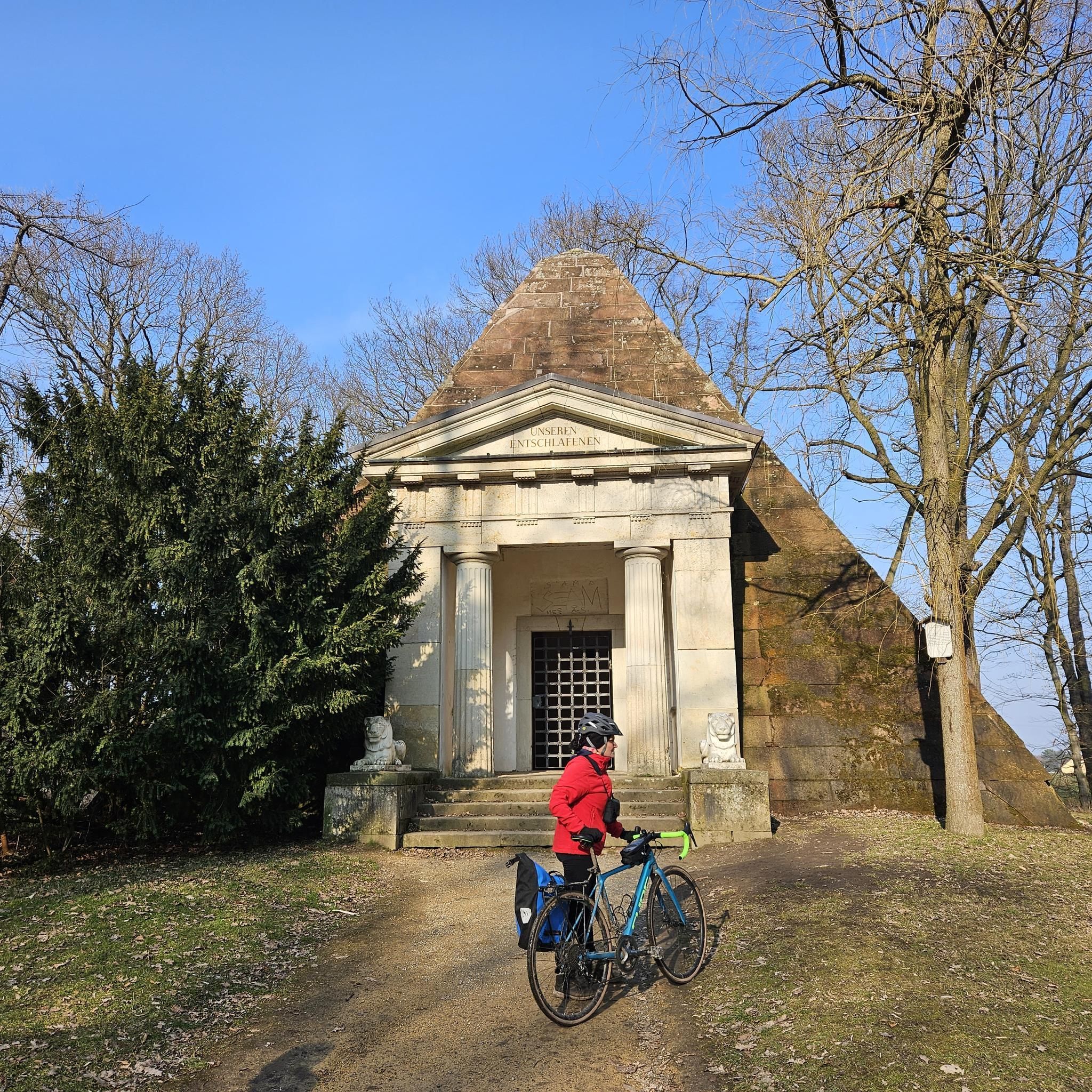
Gravel biking in Naturschutzgebiet - Westteil Des Toten Gebirges
Other adventures in Naturschutzgebiet - Westteil Des Toten Gebirges


Tips from the Community


beautiful, but completely overcrowded
0
0
nice, but completely overcrowded
0
0
beautiful, but completely overcrowded
0
0

Paul Preuß, also Paul Preuss (born August 19, 1886, in Altaussee; died October 3, 1913, on the Gosaukamm), was an Austrian mountaineer. He was one of the most successful and best climbers of his time: within just five years, he achieved 1,200 ascents, 300 of them solo, and around 150 first ascents. (Wikipedia)
0
0
Frequently Asked Questions
How many running routes are available in Naturschutzgebiet - Westteil Des Toten Gebirges?
There are nearly 200 running routes recorded in the Naturschutzgebiet - Westteil Des Toten Gebirges on komoot. This includes a wide variety of trails, from easy paths to more challenging ascents, catering to different fitness levels.
What kind of terrain can I expect on the running trails in this nature reserve?
The Naturschutzgebiet - Westteil Des Toten Gebirges is characterized by a distinctive karst plateau and mountainous terrain within the Northern Limestone Alps. You can expect varied gradients, from easily accessible paths to more challenging ascents, with stunning rock faces and diverse ecosystems. The region's unique geology, including moraine hills and dwarf pine fields, ensures a visually interesting and varied running experience.
Are there any scenic viewpoints or landmarks along the running paths?
Yes, the region offers numerous scenic viewpoints and natural landmarks. For example, the View of Dachstein loop from Altaussee offers stunning vistas of the Dachstein massif. Other notable points of interest include the Loser Summit (1837 m) with views of Altaussee, and the unique Loserfenster natural monument.
Can I combine my run with visiting natural features like lakes?
Absolutely. The region is home to several picturesque lakes formed by glacial activity, such as the Grundlsee and Altausseer See. The View of Lake Grundlsee – Grundlsee loop from Toplitzsee is a great option for a run that provides views of Lake Grundlsee. The Lake Toplitz and the Lakeside Trail at Lake Altaussee also offer tranquil settings for lakeside jogs.
What do other runners say about the trails in Naturschutzgebiet - Westteil Des Toten Gebirges?
The running routes in Naturschutzgebiet - Westteil Des Toten Gebirges are highly rated by the komoot community, with an average score of 4.4 stars from over 170 reviews. More than 5,000 runners have used komoot to explore the varied terrain, often praising the stunning natural beauty, diverse landscapes, and well-maintained paths.
Are there family-friendly running routes suitable for all ages?
Yes, the nature reserve offers a variety of routes, including easily accessible paths that require no special skills, making them suitable for families. While specific 'family-friendly' designations aren't always explicit, many of the easier trails provide a great opportunity for a leisurely run with children. Always check the route difficulty and length before heading out.
Can I bring my dog on the running trails?
Generally, dogs are permitted on trails in the Naturschutzgebiet - Westteil Des Toten Gebirges, but it's crucial to keep them on a leash, especially in a nature reserve, to protect wildlife and ensure the safety of other visitors. Always check local signage for any specific restrictions on certain paths or during particular seasons.
Where can I find parking for the running trails?
Parking facilities are typically available at popular trailheads and access points around the nature reserve, especially near towns like Altaussee and Grundlsee. It's advisable to check specific route descriptions on komoot for details on parking options closest to your chosen starting point.
How can I reach the running routes using public transport?
Public transport options, such as buses, connect the surrounding towns and villages to various access points of the nature reserve. While direct access to every trailhead might not be possible, you can often reach a starting point within a reasonable walking distance. It's recommended to research local bus schedules for the specific area you plan to visit.
Are there circular running routes available?
Yes, many of the running routes in the Naturschutzgebiet - Westteil Des Toten Gebirges are designed as circular loops, allowing you to start and end at the same point. Examples include the popular View of Dachstein loop from Altaussee and the View of Lake Grundlsee – Grundlsee loop from Toplitzsee. The 3-Seen-Blick loop from Toplitzsee is another excellent circular option.
What is the best time of year for running in the Totes Gebirge?
The warmer months, from late spring to early autumn (May to October), are generally the best for running in the Totes Gebirge, offering pleasant temperatures and clear trails. During winter, some higher-altitude routes may be covered in snow and require specialized equipment or be inaccessible. Always check weather conditions and trail status before your run.
Are there places to eat or stay near the running routes?
Yes, the region offers various amenities. You'll find huts like Loserhütte and Pühringerhütte, which can provide refreshments or accommodation. Towns such as Altaussee and Grundlsee, located at the foot of the mountains, also offer a range of restaurants, cafes, and lodging options for visitors.
Most popular routes in Naturschutzgebiet - Westteil Des Toten Gebirges
Most popular attractions in Naturschutzgebiet - Westteil Des Toten Gebirges

Get inspired with the komoot mobile app


Explore more
Browse the best Running Trails & Routes in other regions.
