Wiesent-Tal Mit Seitentälern
Wiesent-Tal Mit Seitentälern
The best running trails in Wiesent-Tal Mit Seitentälern
4.5
(179)
2,161
runners
172
runs
Jogging routes in Wiesent-Tal Mit Seitentälern traverse diverse landscapes, from picturesque river valleys to green hills and mixed forests. The region is characterized by the Wiesent River, which flows through the valley, and impressive rock formations. Varied terrain includes paths along the river and ascents through forests to Jura heights, offering a tranquil escape.
Best jogging routes in Wiesent-Tal Mit Seitentälern
- The most popular jogging route is To the rock village and rock gate - Franconian Switzerland Nature Park,…
Last updated: July 7, 2026
4.3
(4)
10
runners
13.0km
01:29
300m
300m
Moderate run. Good fitness required. Mostly paved surfaces. Suitable for all skill levels.
4.0
(1)
6
runners
12.6km
01:24
240m
240m
Moderate run. Good fitness required. Mostly paved surfaces. Suitable for all skill levels.

Sign up for free
5.0
(3)
119
runners
11.7km
01:33
410m
410m
Hard run. Very good fitness required. Sure-footedness, sturdy shoes and alpine experience required.
5.0
(3)
104
runners
13.0km
01:49
460m
460m
Hard run. Very good fitness required. Sure-footedness, sturdy shoes and alpine experience required.
4.0
(5)
79
runners
13.1km
01:42
430m
430m
Hard run. Very good fitness required. Sure-footedness, sturdy shoes and alpine experience required.
Get access to more routes and recommendations from other explorers.
Sign up for free
Already have an account?
Our route recommendations are based on thousands of hikes, rides, and runs completed by other people on komoot.
Start today with a free account
Your next adventure awaits.
Login or Signup
Popular around Wiesent-Tal Mit Seitentälern
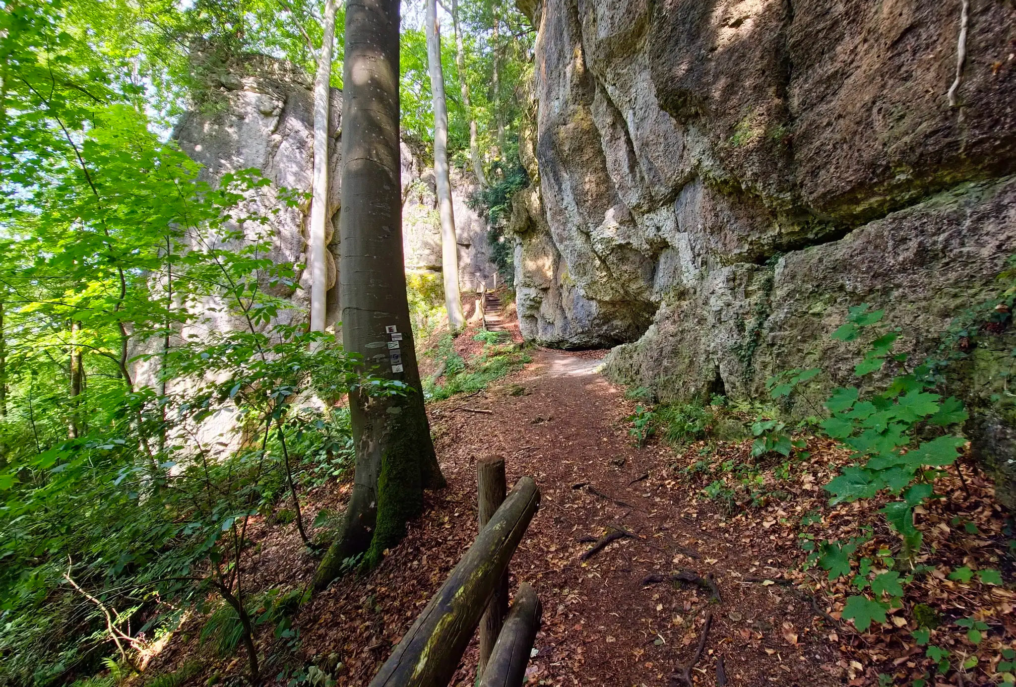
Ultratrail Fränkische Schweiz – 2 Days Burgen, Wälder, Trails
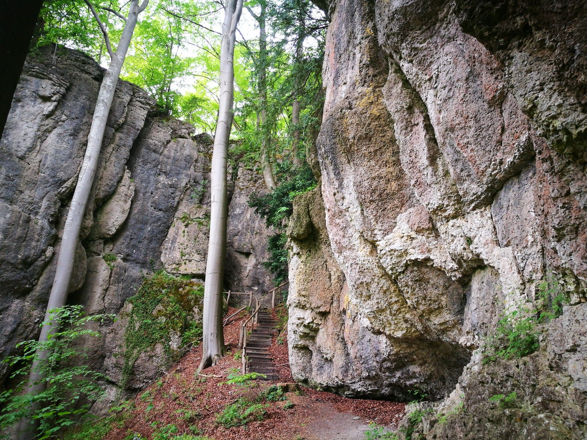
Forests, rocks and castles – 5-day circular through Franconian Switzerland

The National Natural Landscapes in Bavaria
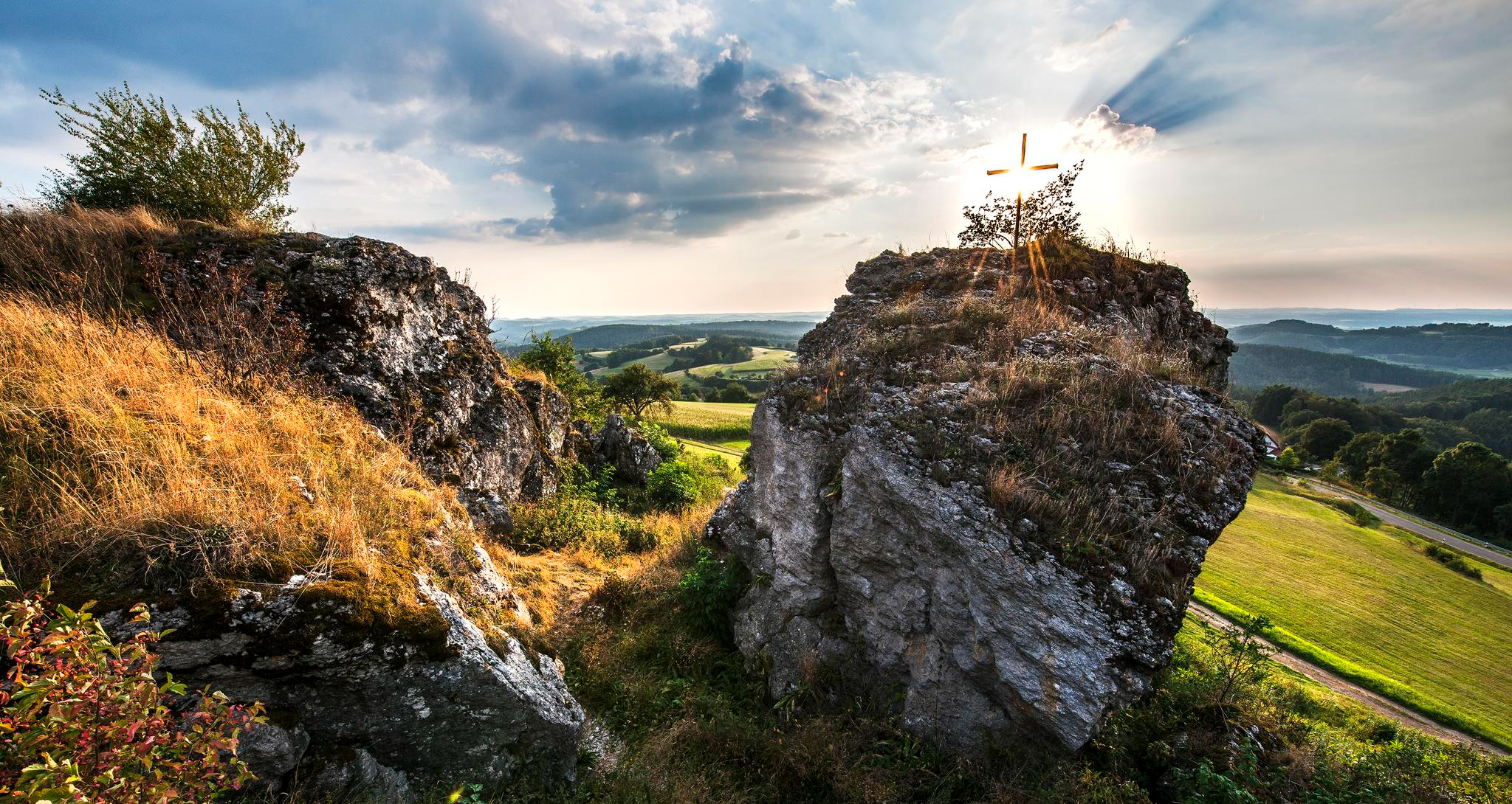
Fun hiking and wonderful views in Franconian Switzerland
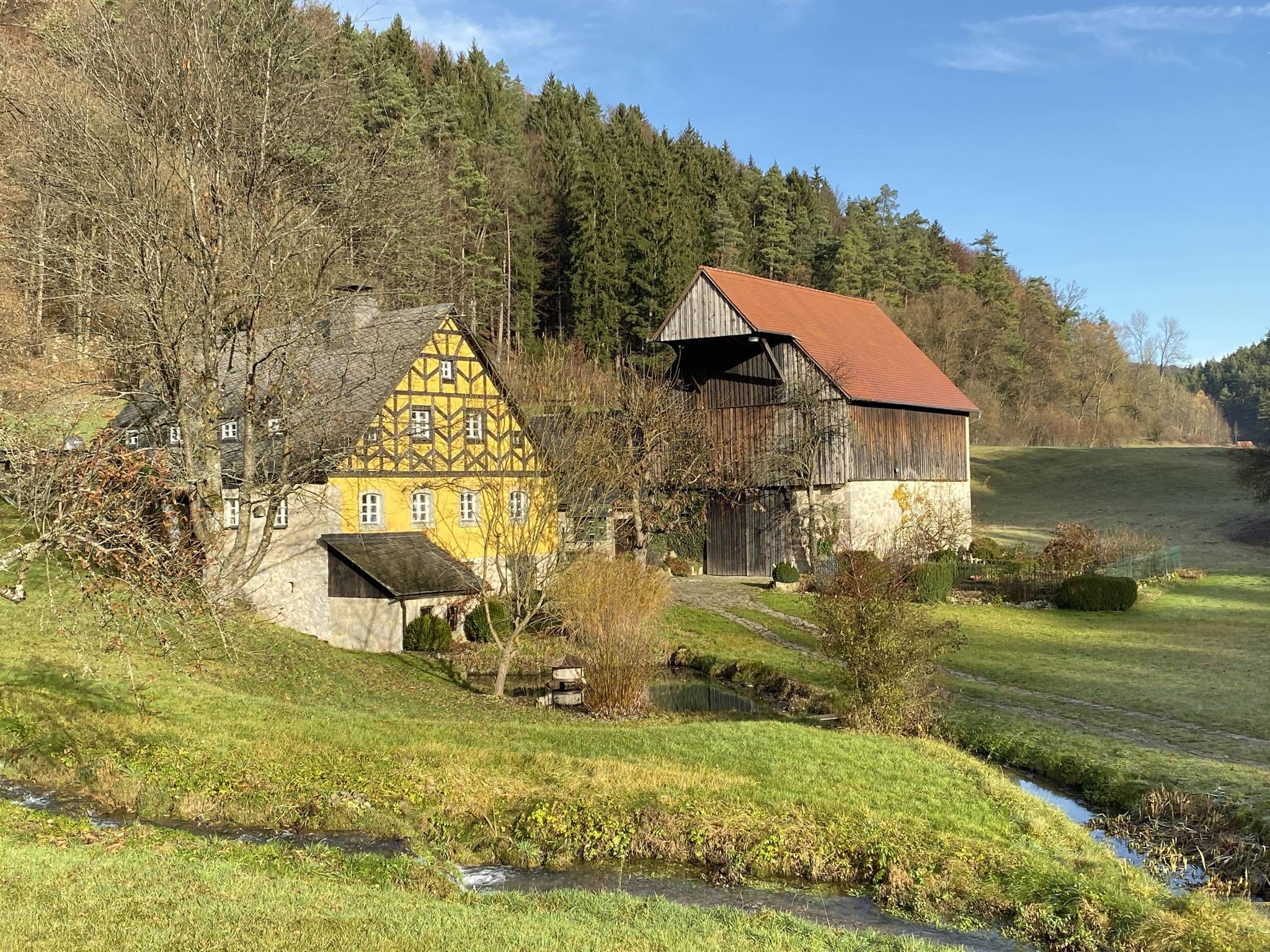
From the view to the Seidla – Nature and BeerEnjoyment in the Franconian Switzerland

The Franconian Trail – A Diverse Hiking Dream Across 24 Stages
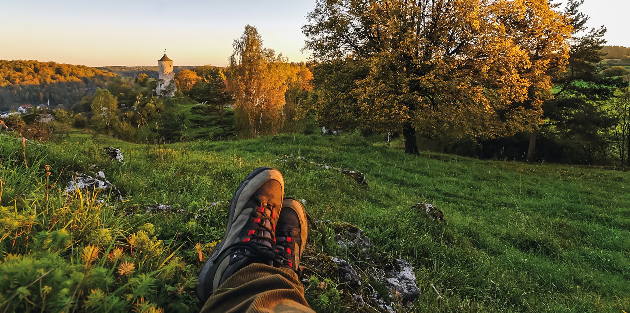
Breweries, hops & beer – Four days hiking in Franconian Switzerland
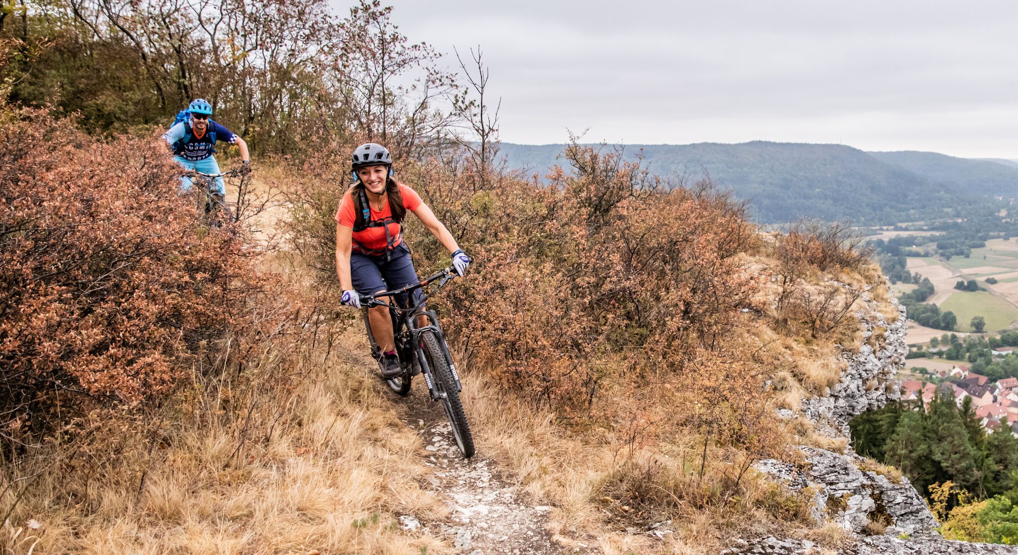
Castles, mountains, beer & trails – bikepacking in Franconian Switzerland

Hike & Beer in Franconia and Upper Palatinate — the VGN leisure tips
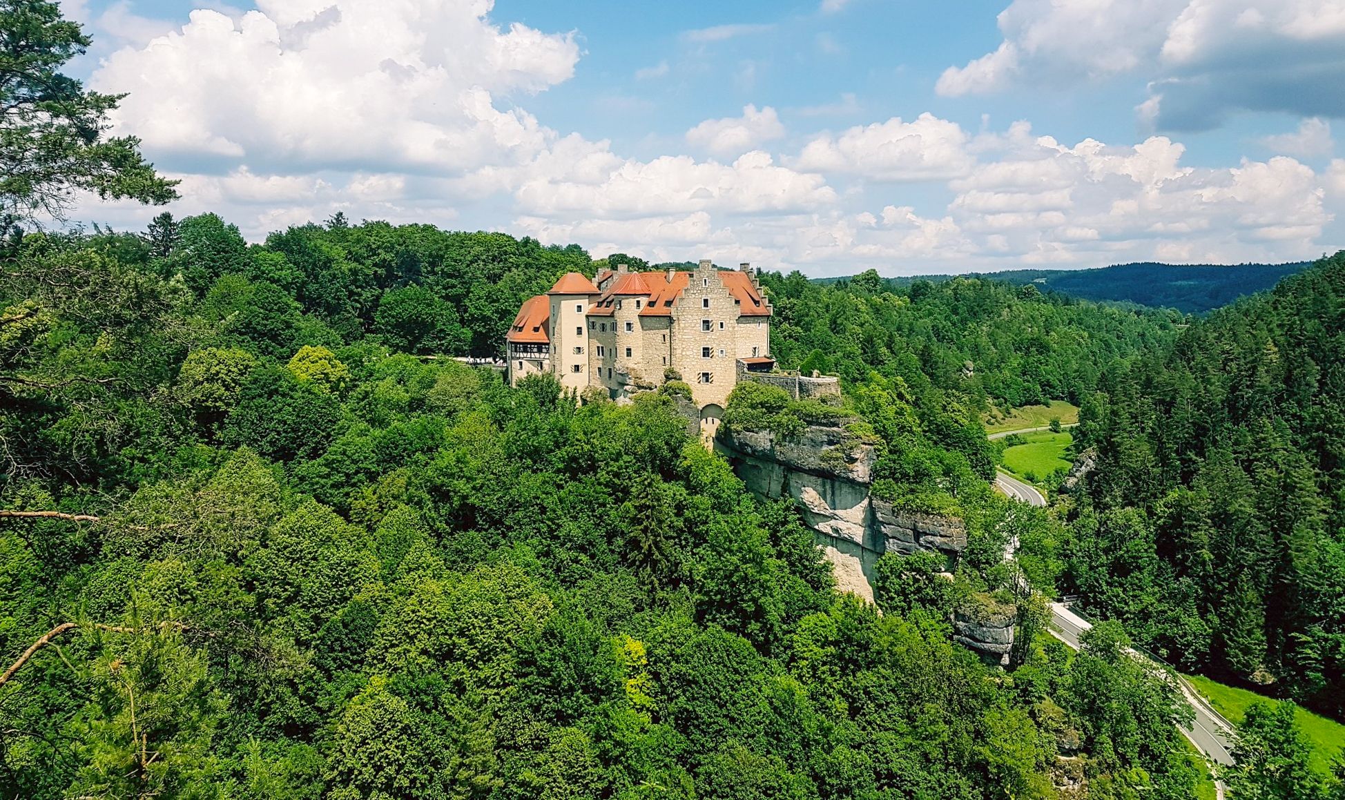
Hikes for tiny boots – VGN recreational activities for families
Other adventures in Wiesent-Tal Mit Seitentälern


Tips from the Community

An impressive rocky landscape – you can climb up via stairs.
0
0
Between the picturesque half-timbered houses, the rock castle towers above the roofs of the village.
1
0

Please note the opening hours… Check out www.
8
0

Very worth seeing, you have to see it
0
0

Beautiful wooden bridge over the Wiesent
1
0

Very beautiful enchanted place in the forest.
0
0

https://www.xn--kuchenmhle-geb.de/ Anyone who would like to find out more in advance.
2
0
Frequently Asked Questions
How many running routes are available in Wiesent-Tal Mit Seitentälern?
There are over 150 running routes documented in Wiesent-Tal Mit Seitentälern, offering a wide variety of options for all fitness levels. These routes traverse diverse landscapes, from picturesque river valleys to green hills and mixed forests.
Are there easy running routes suitable for beginners in Wiesent-Tal Mit Seitentälern?
Yes, the region offers several easy running routes perfect for beginners or those looking for a more relaxed pace. While the guide highlights more moderate and difficult options, komoot lists 7 easy routes. These typically follow paths along the Wiesent River, providing a gentle introduction to the area's natural beauty.
What kind of terrain can I expect on the more challenging running trails?
Challenging running trails in Wiesent-Tal Mit Seitentälern often feature significant elevation changes, including 'ridge' ascents and routes through gorges. You can expect varied terrain, from paths along the Wiesent River to climbs through mixed forests to the quiet Jura heights. For example, the Quackenschloss – Hohes Kreuz Observation Tower loop from Muggendorf is a difficult trail with over 400 meters of elevation gain.
Are there many circular running routes in the Wiesent-Tal Mit Seitentälern region?
Yes, many of the running routes in Wiesent-Tal Mit Seitentälern are circular, allowing you to start and end at the same point without retracing your steps. Examples include the Heiligenstadt: Around the Altenberg Circular Trail and the Quackenschloss – Hohes Kreuz Observation Tower loop from Muggendorf, which offer varied scenery throughout.
Can I bring my dog on the running trails in Wiesent-Tal Mit Seitentälern?
Generally, dogs are welcome on the running trails in Wiesent-Tal Mit Seitentälern. The extensive network of paths through forests and along river valleys provides a great environment for you and your canine companion. However, always keep your dog on a leash, especially in nature reserves or near wildlife, and be mindful of local regulations.
What scenic viewpoints or natural attractions can I discover along the running paths?
The region is rich in scenic viewpoints and natural attractions. Many routes lead past impressive rock formations, caves, and observation points. You might encounter the Hohes Kreuz Observation Tower, offering panoramic views, or the dramatic Ruins of Neideck Castle. The area is also known for its caves, such as the Riesenburg cave ruins, one of Bavaria's most beautiful geotopes.
Are there any historical landmarks to see while running in Wiesent-Tal Mit Seitentälern?
Absolutely! The region is dotted with historical and cultural highlights. While running, you can encounter sites like the Ruins of Neideck Castle or Rabenstein Castle. These historical structures, often perched on rocks, add a unique cultural dimension to your outdoor experience.
What do other runners enjoy the most about jogging in Wiesent-Tal Mit Seitentälern?
The area is highly rated by the komoot community, with an average score of 4.5 stars from over 120 reviews. Runners often praise the diverse landscapes, from river valleys to forests and impressive rock formations, and the well-maintained network of trails. The tranquility of the Jura heights and the scenic views are frequently highlighted as favorite aspects.
Are there any running routes that pass by unique rock formations?
Yes, the Wiesent-Tal Mit Seitentälern is famous for its unique rock formations. The route To the rock village and rock gate - Franconian Switzerland Nature Park specifically explores these natural features. You'll find impressive rock faces and even cave ruins like the Riesenburg, which are characteristic of the region's geology.
What is the best time of year to go running in Wiesent-Tal Mit Seitentälern?
Wiesent-Tal Mit Seitentälern is beautiful year-round, but spring and autumn offer particularly pleasant running conditions with mild temperatures and vibrant scenery. Spring brings blooming wildflowers, while autumn showcases stunning fall foliage. Summer is also popular, though it can be warmer, and winter offers a unique, serene experience on snow-dusted trails, provided conditions are safe.
Are there routes that offer views of the Wiesent Valley?
Many routes provide stunning views of the Wiesent Valley. For instance, the View over the Wiesent Valley – Kuchenmühle in the Aufseß Valley loop from Muggendorf is specifically designed to showcase these panoramic vistas. Trails often ascend to higher points, revealing the picturesque river winding through green hills and dense forests.
Most popular routes in Wiesent-Tal Mit Seitentälern
Most popular attractions in Wiesent-Tal Mit Seitentälern

Get inspired with the komoot mobile app


Explore more
Browse the best Running Trails & Routes in other regions.
