The best walks and hikes in Steinbach
4.7
(7796)
24,703
hikers
655
hikes
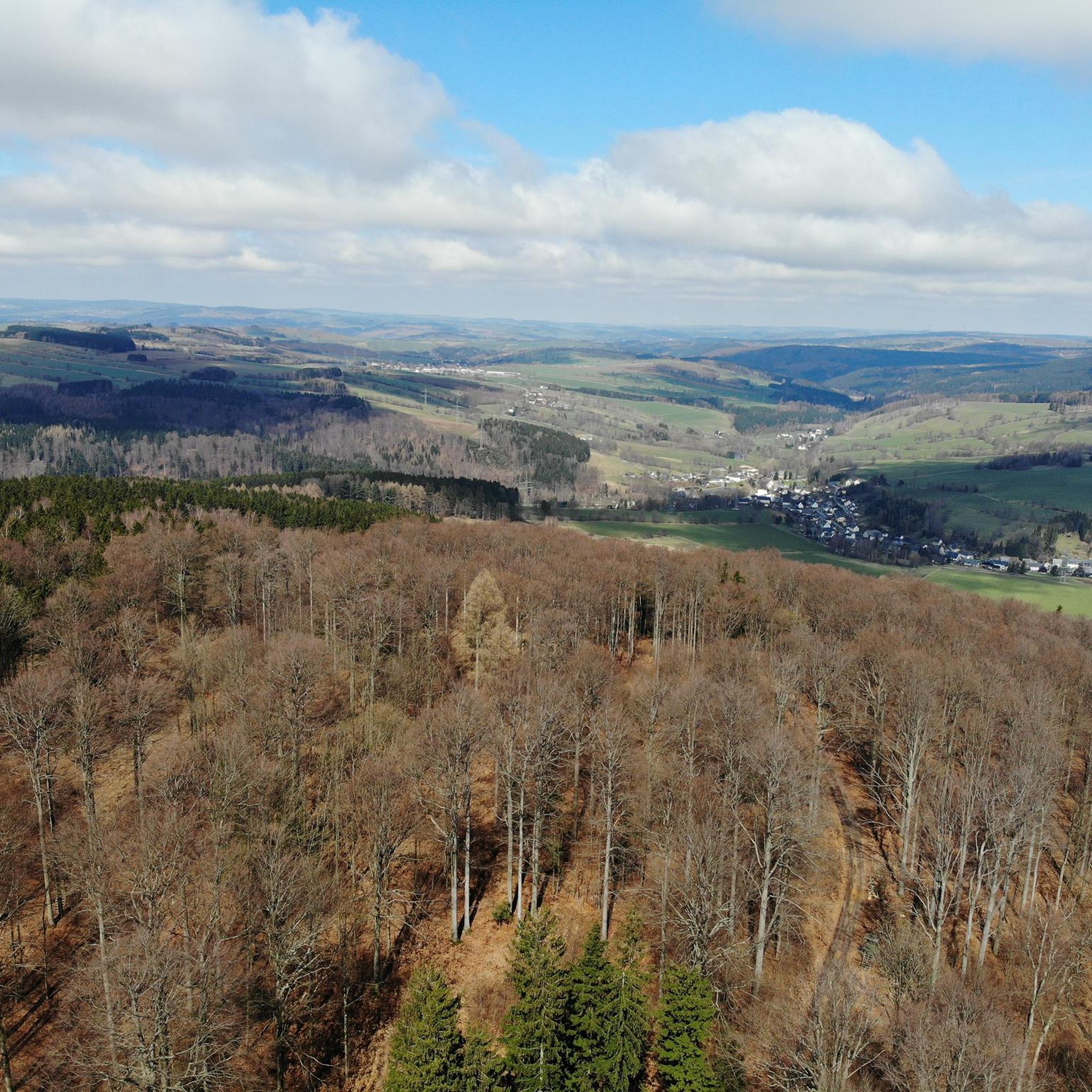
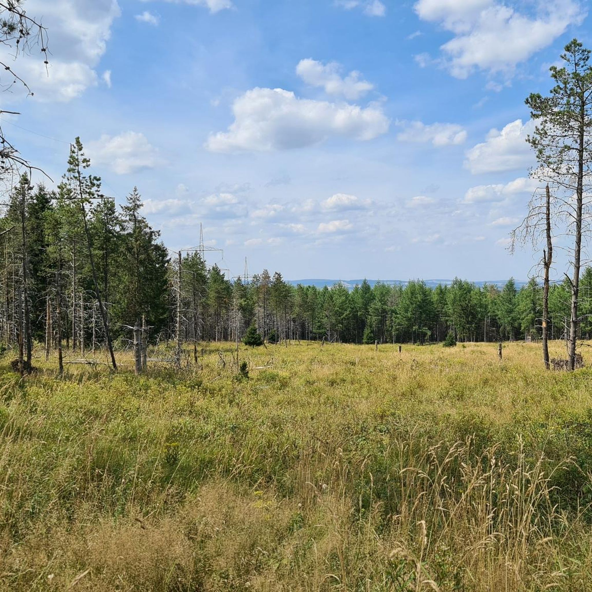
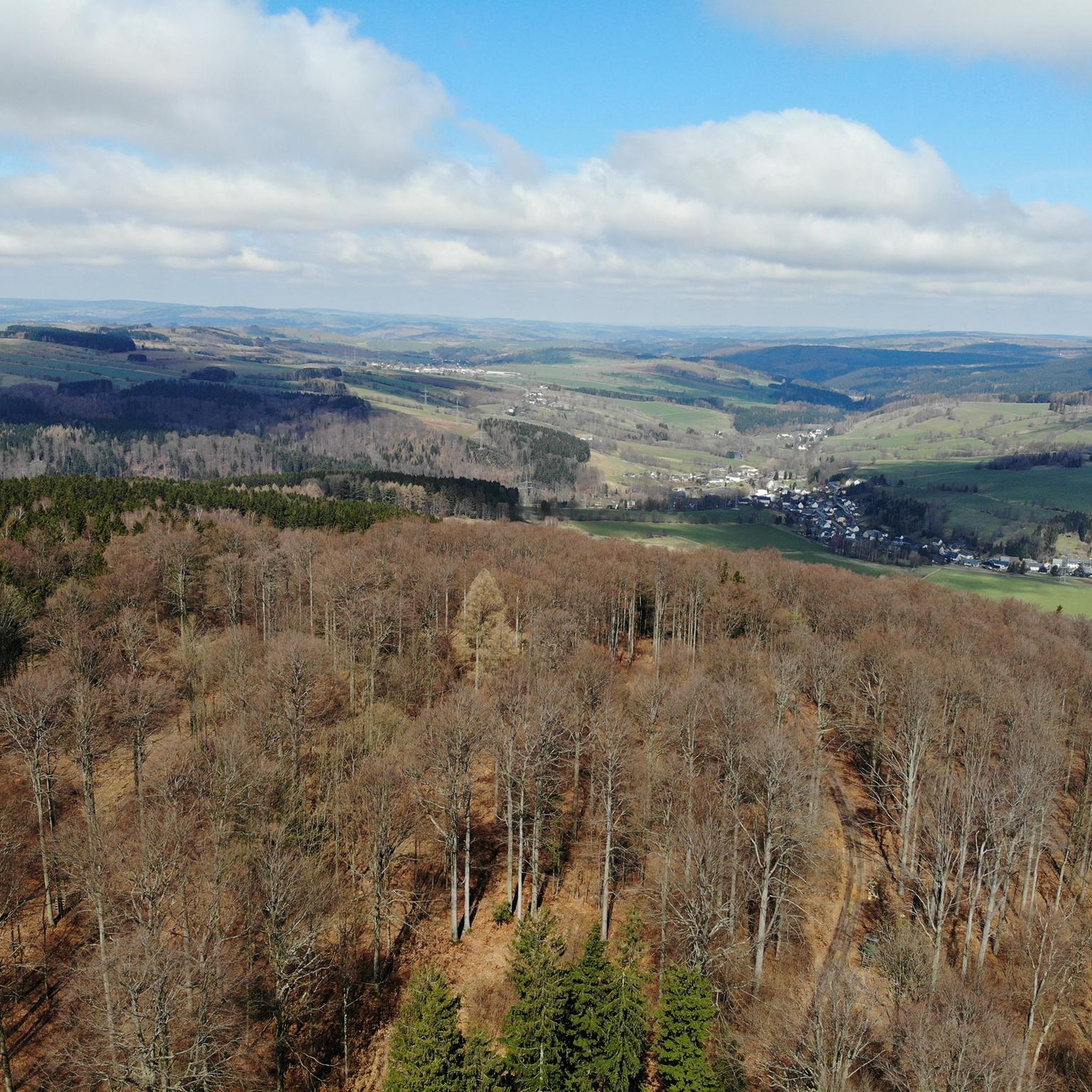
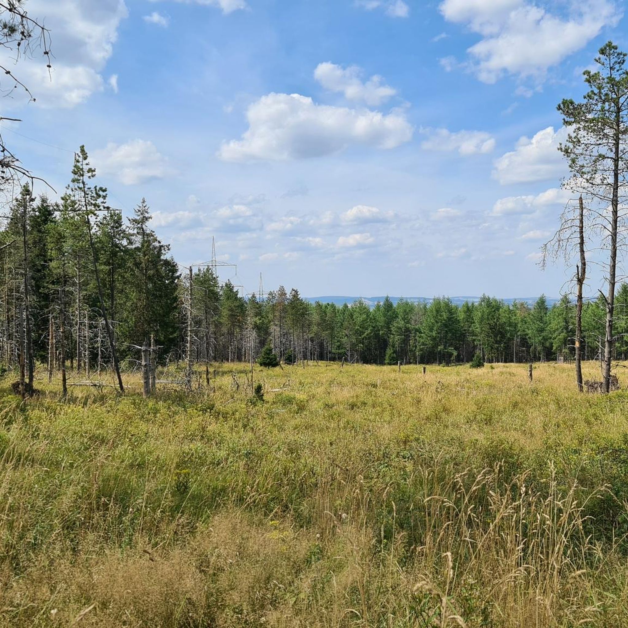
Hiking in Steinbach, located in the Erzgebirgskreis district, is characterized by its diverse terrain within a natural park setting. The region features hills, forests, and valleys, offering varied elevation changes suitable for different hiking experiences. Trails often lead through wooded areas and past natural monuments, reflecting the area's geological and historical significance.
Best hiking trails in Steinbach
- The most popular hiking route is Basalt fan on the Hirtstein – Hirtstein loop from Steinbach, a 5.6 miles (9.0 km) trail that takes 2 hours 42 minutes to complete. This moderate route features a notable basalt geological formation.
- Another top favourite among local hikers is Karl Stülpner Memorial – Shelter on the Auerhahnweg loop from Steinbach, a moderate 9.8 miles (15.8 km) path. This trail offers varied terrain through forests and past historical markers.
- Local hikers also love the Steinbach railway station – Mühlbaum Natural Monument loop from Steinbach, a 6.9 miles (11.2 km) trail leading through wooded landscapes and past a natural monument, often completed in about 3 hours 17 minutes.
- Hiking in Steinbach is defined by forested hills, natural monuments, and varied elevation changes. The network offers options for different ability levels, from moderate forest walks to more challenging routes with significant climbs.
- The routes in Steinbach are highly rated by the komoot community with an average score of 4.7 stars from over 7100 reviews. More than 23000 hikers have used komoot to explore Steinbach's varied terrain.
Last updated: June 26, 2026
4.5
(2)
7
hikers
Moderate hike. Good fitness required. Easily-accessible paths. Suitable for all skill levels.
4.8
(41)
105
hikers
22.0km
06:17
490m
490m
Hard hike. Very good fitness required. Easily-accessible paths. Suitable for all skill levels.

Sign up for free
4.9
(32)
167
hikers
7.48km
02:02
100m
100m
Moderate hike. Good fitness required. Easily-accessible paths. Suitable for all skill levels.
4.9
(17)
57
hikers
17.2km
04:57
420m
420m
Moderate hike. Good fitness required. Easily-accessible paths. Suitable for all skill levels.
4.6
(10)
46
hikers
7.08km
01:58
130m
130m
Easy hike. Great for any fitness level. Easily-accessible paths. Suitable for all skill levels.
Get access to more routes and recommendations from other explorers.
Sign up for free
Already have an account?
Our route recommendations are based on thousands of hikes, rides, and runs completed by other people on komoot.
Start today with a free account
Your next adventure awaits.
Login or Signup
Tips from the Community

Karl Stülpner from the Ore Mountains is a folk hero due to his adventures as a poacher. He died in Großolbersdorf in 1841!
1
0

Always worth a trip
0
1

a very nice corner
0
1
Frequently Asked Questions
What kind of hiking experience can I expect in Steinbach?
Steinbach, Manitoba, offers a unique blend of prairie landscapes and accessible trails. You'll find gentle prairie trails, ideal for quiet adventures and bird watching, alongside routes that venture into the nearby Sandilands Provincial Forest. The terrain often features packed dirt pathways, crushed gravel, and charming wooden bridges, with the earthy scent of pine and damp leaves in forested sections.
How many hiking trails are there in Steinbach, and what are their difficulty levels?
There are over 650 hiking routes available in Steinbach. These trails cater to various skill levels, with approximately 270 easy routes, 320 moderate routes, and 60 more challenging options for experienced hikers.
Are there any family-friendly hiking options in Steinbach?
Yes, Steinbach has many parks and green spaces suitable for families. The region's gentle prairie trails are often ideal for those seeking quiet adventures with children. Many of the 270 easy routes available are perfect for a family outing.
What are some notable natural features or landmarks to look out for on Steinbach's trails?
While hiking in Steinbach, you can encounter unique natural features like the tallgrass prairie ecosystem, especially in preserved areas south of the city. Some routes also lead past geological formations such as the basalt fan on the Hirtstein. For example, the Basalt fan on the Hirtstein – Hirtstein loop from Steinbach specifically highlights this feature.
Are there any circular hiking routes in Steinbach?
Yes, many of Steinbach's trails are designed as loops, offering convenient circular walks. A popular example is the Steinbach railway station – Mühlbaum Natural Monument loop from Steinbach, which takes you through wooded landscapes and past a natural monument.
What do other hikers say about the trails in Steinbach?
The hiking routes in Steinbach are highly regarded by the komoot community, holding an impressive average rating of 4.7 stars from over 7,100 reviews. Hikers often praise the diverse terrain, well-maintained paths, and the natural beauty of the forested hills and prairie landscapes.
Can I hike in Steinbach during winter?
Yes, the gentle prairie trails in Steinbach are also suitable for winter activities like skiing. While specific winter hiking conditions can vary, many trails remain accessible and offer a different kind of beauty during the colder months.
Are there any trails that offer viewpoints or scenic vistas?
While Steinbach is characterized by its prairie and forest landscapes, offering serene views, specific elevated viewpoints are less common than in mountainous regions. However, trails through the Sandilands Provincial Forest provide picturesque forest scenery, and open prairie sections offer expansive sky views.
Is public transport available to reach hiking trailheads in Steinbach?
Steinbach is a city in Manitoba, Canada. While local public transport options within the city exist, direct public transport to specific remote trailheads outside the city center might be limited. It's advisable to check local transit schedules or consider personal vehicle access for reaching more distant hiking spots.
Where can I find parking near hiking trails in Steinbach?
Parking is generally available at various parks and green spaces within Steinbach, such as A.D. Penner Park and L.A. Barkman Park, which often serve as starting points for walks. For trails venturing into areas like the Sandilands Provincial Forest, designated parking areas are typically provided at trailheads.
Are there any cafes or amenities near the hiking trails in Steinbach?
Steinbach, as a city, offers various amenities including cafes, restaurants, and shops. While not directly on every trailhead, you'll find options within a short drive from most hiking areas, especially closer to the city center or along main routes leading to the trails.
What is a good moderate hike to experience the region's characteristics?
For a moderate hike that showcases the region's varied terrain, consider the Karl Stülpner Memorial – Shelter on the Auerhahnweg loop from Steinbach. This 9.8-mile (15.8 km) path offers diverse landscapes through forests and past historical markers, providing a good overview of the area's natural and cultural elements.
Most popular routes in Steinbach

Get inspired with the komoot mobile app


Explore more
Browse the best Hikes in other regions.
