The best running trails in Fichtelberg
4.5
(131)
2,460
runners
167
runs
Jogging in Fichtelberg offers diverse landscapes within the Fichtelgebirge mountain range, providing varied terrain for runners. The region is characterized by green forests, clear lakes, and an extensive network of trails. Fichtelberg, as the highest mountain in northern Bavaria and Saxony, contributes to the area's varied topography, including hills and moderate ascents. This environment supports a range of running experiences, from gentle paths to more challenging routes with elevation gains.
Best jogging routes in Fichtelberg
- The most popular jogging route…
Last updated: September 29, 2026
3.0
(3)
64
runners
13.1km
01:31
260m
260m
Moderate run. Good fitness required. Mostly paved surfaces. Suitable for all skill levels.
5.0
(1)
42
runners
Moderate run. Good fitness required. Mostly paved surfaces. Suitable for all skill levels.

5.0
(2)
36
runners
Hard run. Very good fitness required. Mostly paved surfaces. Suitable for all skill levels.
4.7
(3)
23
runners
Moderate run. Good fitness required. Mostly paved surfaces. Suitable for all skill levels.
5.0
(1)
18
runners
Hard run. Very good fitness required. Sure-footedness, sturdy shoes and alpine experience required.
Get access to more routes and recommendations from other explorers.
Already have an account?
Our route recommendations are based on thousands of hikes, rides, and runs completed by other people on komoot.
Start today with a free account
Your next adventure awaits.
Popular around Fichtelberg
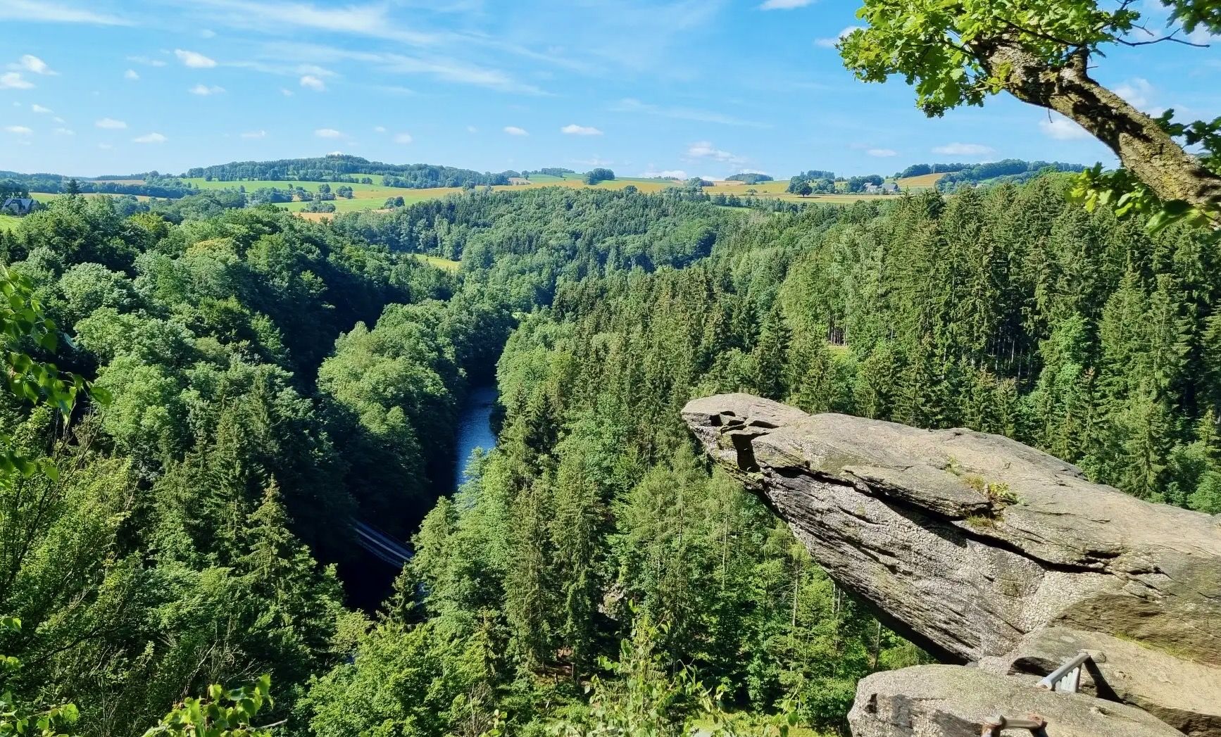
From Fichtelberg to Mulde - The Zschopautal Hiking Trail
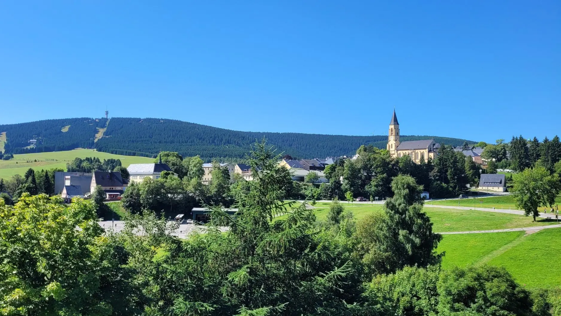
Mit der AOK PLUS zum Deutschen Wandertag in Oberwiesenthal
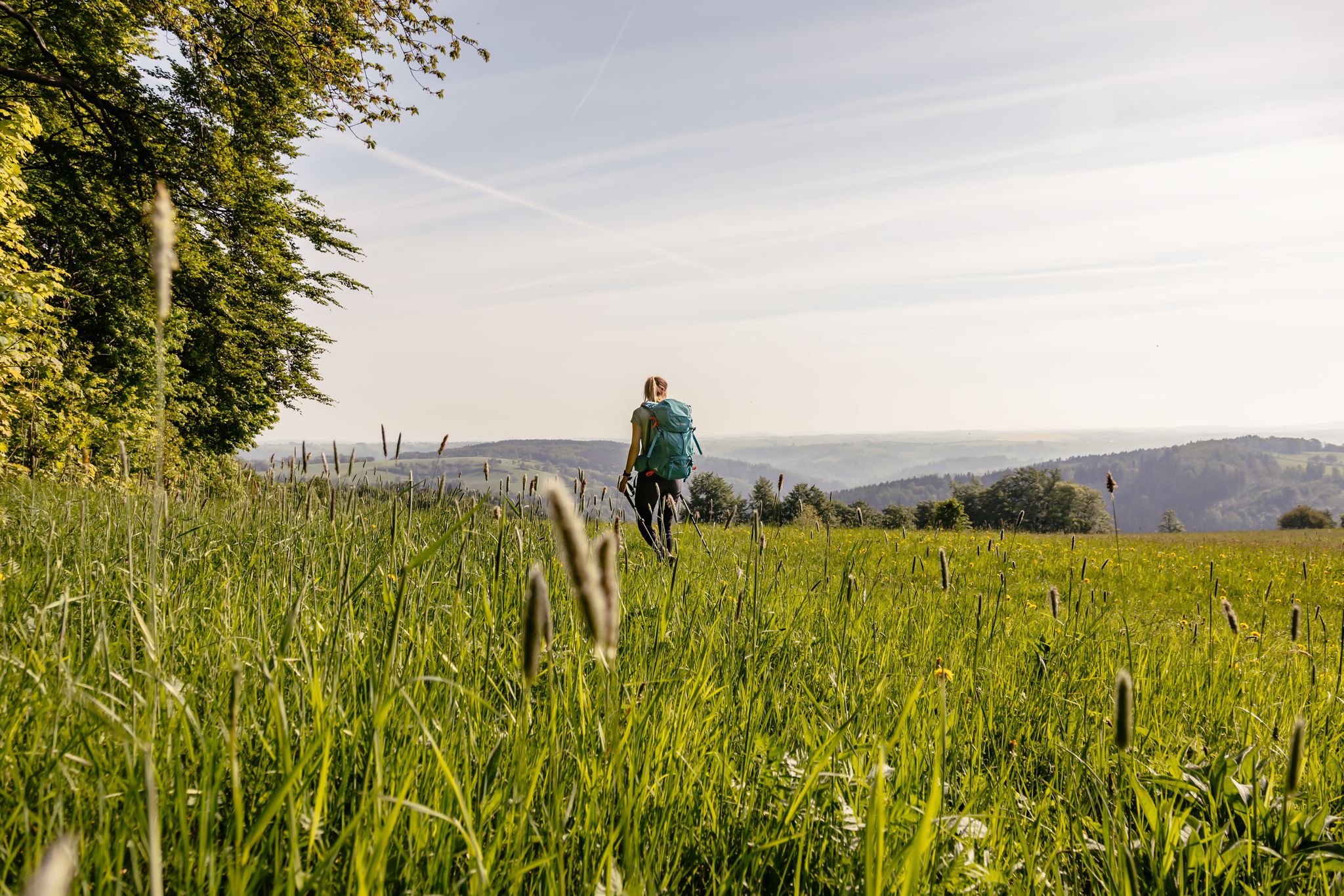
Fernwanderwege im Erzgebirge
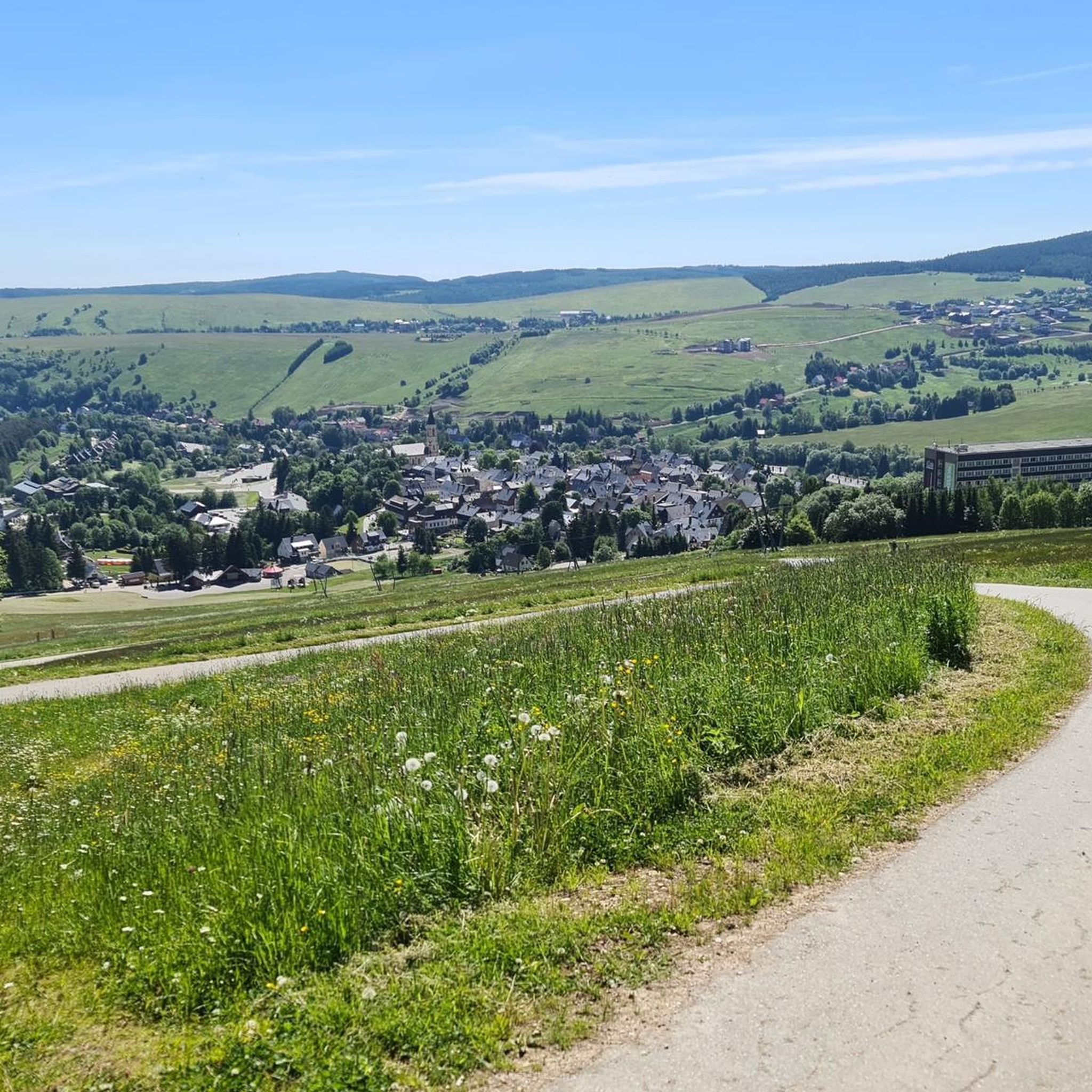
Hiking in Fichtelberg
Cycling in Fichtelberg
MTB Trails in Fichtelberg
Road Cycling Routes in Fichtelberg

Gravel biking in Fichtelberg

Mountain Hikes in Fichtelberg


Tips from the Community

Delicious cakes after a successful outing, absolutely delicious 😋
0
0


The first weather observer on this summit was the innkeeper of the Fichtelberghaus. He recorded his weather observations from 1890 onwards, but from 1898 onwards only intermittently, and from 1910 onwards not at all. The head of the Royal Saxon State Meteorological Observatory, Paul Schreiber, suggested the construction of a permanent weather observatory. Temperature, wind speed, and precipitation amounts have been continuously recorded here since January 1, 1916. The strongest storm recorded here was on January 3, 1976, with a peak gust speed of 216 kilometers per hour. The coldest day on the summit was February 9, 1956, with minus 30.4 degrees Celsius; the warmest was July 27, 1983, with plus 30.8 degrees Celsius. The highest snow cover was measured in March 1944: 3.35 meters. The year 1951 was bad for Fichtelberg tourists: it held the record for foggy days with 315.
13
1

A beautiful little trail. Not strenuous, so doable for everyone.
0
0

The station is located on the summit next to the Fichtelberghaus, but is not accessible.
5
0

Frequently Asked Questions
How many jogging routes are available in Fichtelberg?
Fichtelberg offers a wide selection of running routes, with over 170 tours available for you to explore. These range from easy paths to more challenging trails with significant elevation gains, catering to various fitness levels.
What types of terrain can I expect on the running trails in Fichtelberg?
The Fichtelberg region, part of the Fichtelgebirge mountain range, features diverse terrain. You'll find routes through dense green forests, along clear lakes like Fichtelsee, and across varied mountain landscapes. Expect everything from gentle, accessible paths to more demanding trails with notable ascents, especially around peaks like Fichtelberg itself.
Are there any easy jogging routes suitable for beginners in Fichtelberg?
Yes, Fichtelberg has nearly 20 easy jogging routes perfect for beginners or those looking for a relaxed run. These paths typically feature less elevation and smoother surfaces, allowing for a comfortable experience amidst the scenic surroundings.
Can I find challenging running routes with significant elevation in Fichtelberg?
Absolutely. For experienced runners seeking a challenge, Fichtelberg offers over 90 difficult routes with significant elevation gains. The region's varied topography, including the Fichtelberg summit at 1,214 meters, provides demanding ascents and rewarding panoramic views. An example is the View from Fichtelberg – Fichtelberg House Hotel loop, which includes substantial climbing.
Are there any circular jogging routes in Fichtelberg?
Many of the running routes in Fichtelberg are designed as circular loops, allowing you to start and finish at the same point. This includes popular options like the Fichtelberg – Oberwiesenthal Cable Car loop, which offers varied terrain and scenic views.
What do other runners enjoy most about jogging in Fichtelberg?
The running routes in Fichtelberg are highly rated by the komoot community, with an average score of 4.6 stars from over 100 reviews. Runners frequently praise the region's diverse landscapes, the extensive network of well-maintained trails, and the stimulating environment provided by the green forests and clear lakes.
Are there any specific attractions or viewpoints along the jogging routes?
Yes, several routes offer access to notable attractions and viewpoints. You might encounter the Fichtelberg Peace Bell or enjoy expansive vistas from a viewing platform. The Old luge track on Fichtelberg route, for instance, provides magnificent snowy views in season and a glimpse into the region's history.
Can I run near natural reserves or unique natural features in Fichtelberg?
Indeed. The Fichtelberg region is home to natural wonders like the Zechengrund nature reserve, which features unique rock formations and moorlands. Running trails often weave through these protected areas, offering a chance to experience the region's pristine natural beauty.
Are there any routes that pass by lakes or water features?
Yes, the Fichtelberg area is known for its scenic lakes, such as Fichtelsee and Waldsteinsee. Many running paths offer tranquil routes along their shores. For example, the Schwarzer Teich Oberwiesenthal – Gifthüttenstraße Shelter loop takes you through natural surroundings including the Schwarzer Teich.
What is the best time of year for jogging in Fichtelberg?
The low mountain range benefits from healthy climatic conditions, making it a pleasant environment for physical activity throughout much of the year. While specific preferences vary, spring and autumn offer mild temperatures and vibrant scenery, while summer provides longer daylight hours. Even in winter, some routes, like the Old luge track on Fichtelberg, can be enjoyed for their snowy views.
Are there any moderate-difficulty running routes in Fichtelberg?
Yes, Fichtelberg offers a good selection of moderate-difficulty running routes, with over 60 options available. These trails provide a balanced challenge with varied terrain and some elevation, suitable for runners looking for more than an easy stroll but less intense than a difficult mountain ascent. The Great Mittweida Spring – Oberwiesenthal Ski Arena loop is a great example of a moderate route.
Most popular routes in Fichtelberg
Most popular attractions in Fichtelberg

Get inspired with the komoot mobile app


Explore more
Browse the best Running Trails & Routes in other regions.
