The best walks and hikes in Obszar Chronionego Krajobrazu Na Terenie Gminy Leśna
4.5
(224)
1,240
hikers
29
hikes
Hiking in Obszar Chronionego Krajobrazu Na Terenie Gminy Leśna offers diverse landscapes within the Iser Mountains Foothills, characterized by river valleys, forests, and artificial reservoirs. The region features the Kwisa River, which flows through hills and woodlands, alongside the Leśniańskie Lake and Złotnicki Dam. Unique geological elements include two basalt volcanic cones near Smolnik and Miłoszów, contributing to varied hiking environments. The protected landscape encompasses significant forest areas and numerous natural monuments, providing a range of trails for outdoor activities.
…Last updated: October 4, 2026
4.9
(33)
115
hikers
13.3km
03:36
180m
180m
Moderate hike. Good fitness required. Easily-accessible paths. Suitable for all skill levels.
4.5
(15)
99
hikers
8.81km
02:23
120m
120m
Moderate hike. Good fitness required. Easily-accessible paths. Suitable for all skill levels.

4.3
(8)
68
hikers
8.10km
02:13
130m
130m
Moderate hike. Good fitness required. Easily-accessible paths. Suitable for all skill levels.
3.0
(3)
44
hikers
Easy hike. Great for any fitness level. Easily-accessible paths. Suitable for all skill levels.
5.0
(3)
26
hikers
Easy hike. Great for any fitness level. Easily-accessible paths. Suitable for all skill levels.
Get access to more routes and recommendations from other explorers.
Already have an account?
Our route recommendations are based on thousands of hikes, rides, and runs completed by other people on komoot.
Start today with a free account
Your next adventure awaits.
Popular around Obszar Chronionego Krajobrazu Na Terenie Gminy Leśna
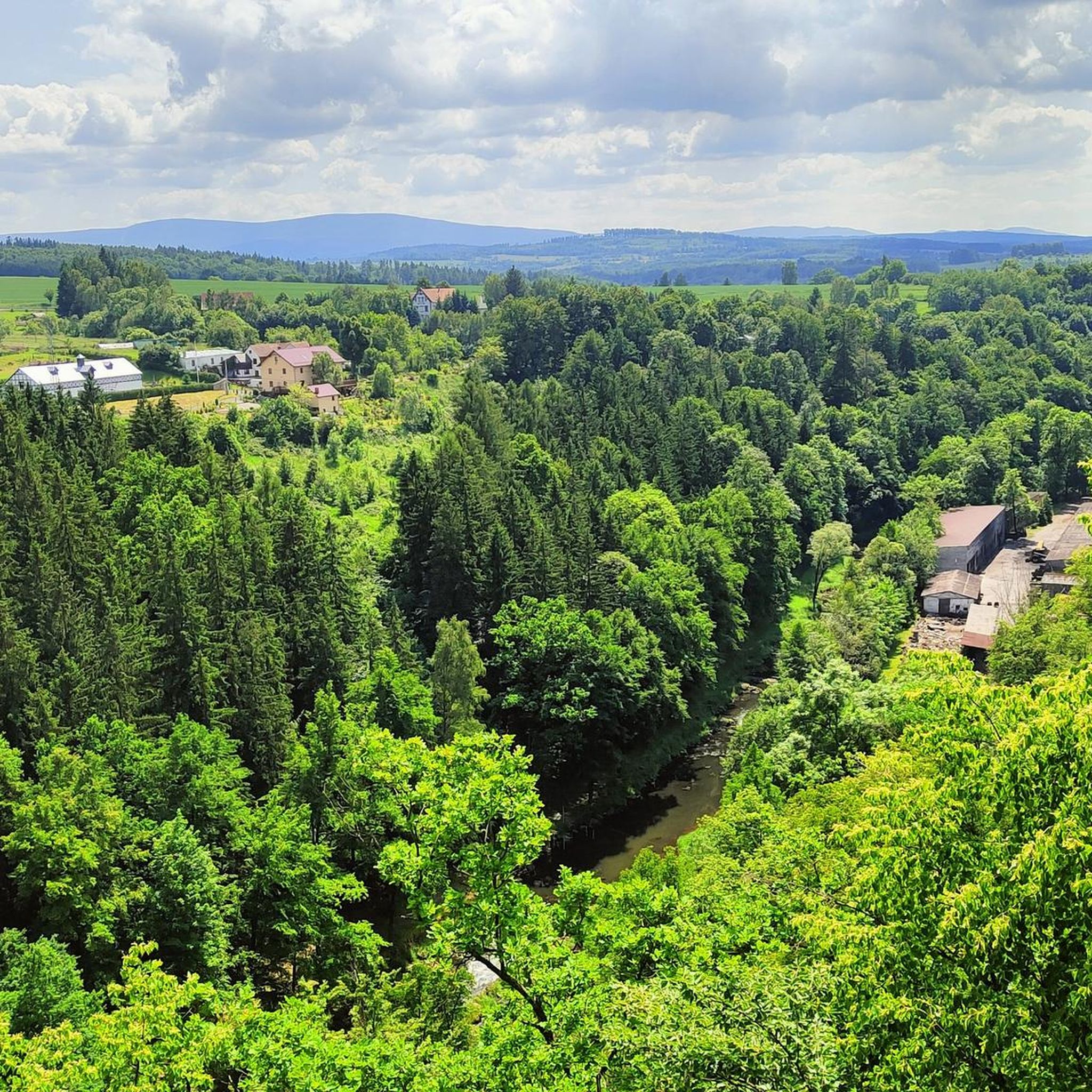
Road Cycling Routes in Obszar Chronionego Krajobrazu Na Terenie Gminy Leśna
Cycling in Obszar Chronionego Krajobrazu Na Terenie Gminy Leśna

Gravel biking in Obszar Chronionego Krajobrazu Na Terenie Gminy Leśna
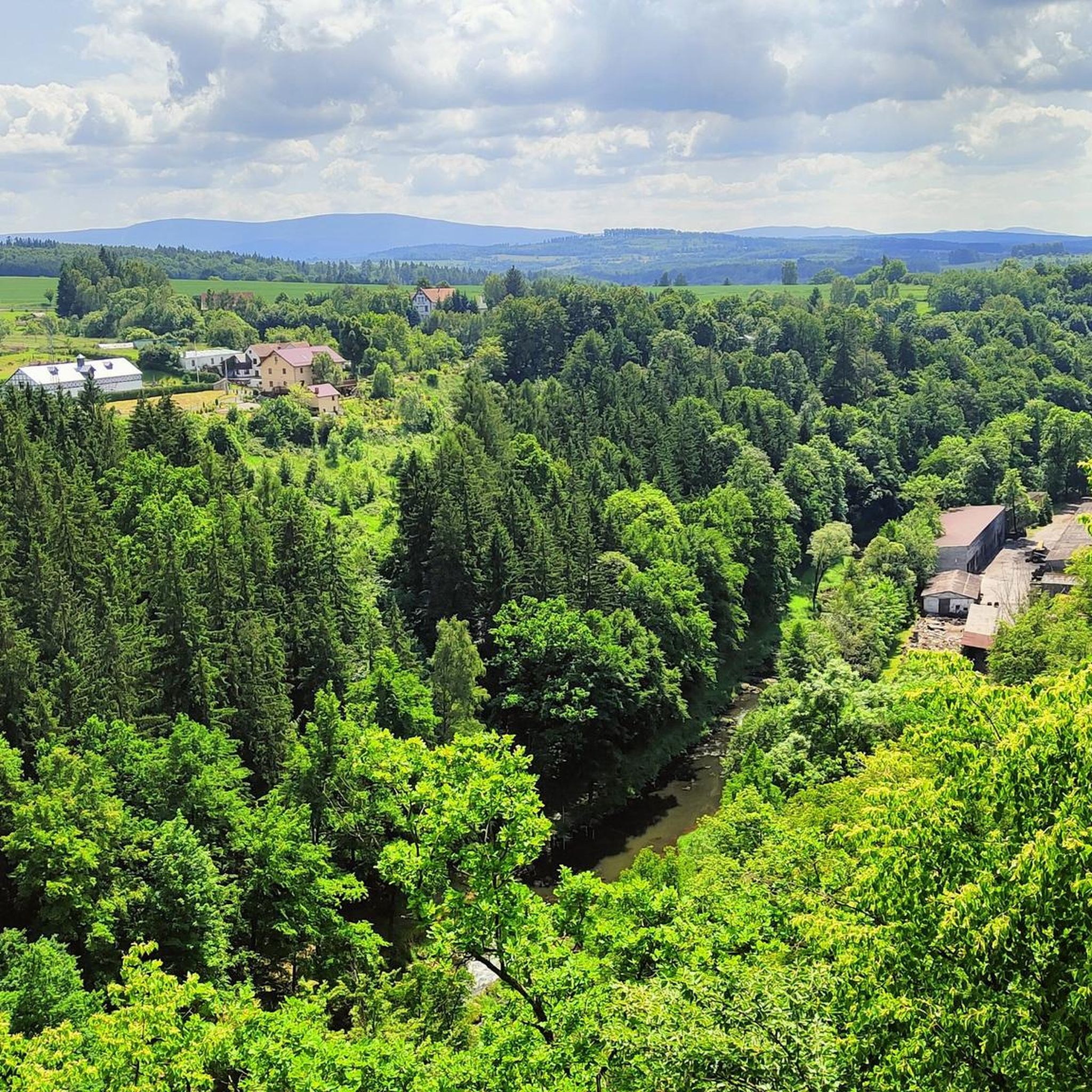
Running Trails in Obszar Chronionego Krajobrazu Na Terenie Gminy Leśna
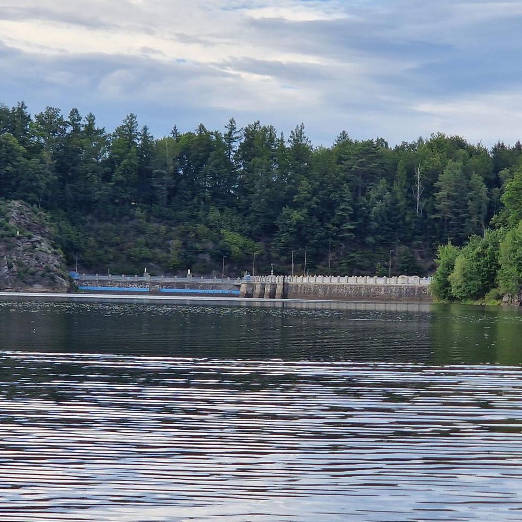
MTB Trails in Obszar Chronionego Krajobrazu Na Terenie Gminy Leśna
Tips from the Community


Simple bridge over the Kwisa - Goldentraum Dam.
2
0
Bridge over the Kwisa River/Goldentraum Dam. It's quite old, but can be used by pedestrians and cyclists.
2
0

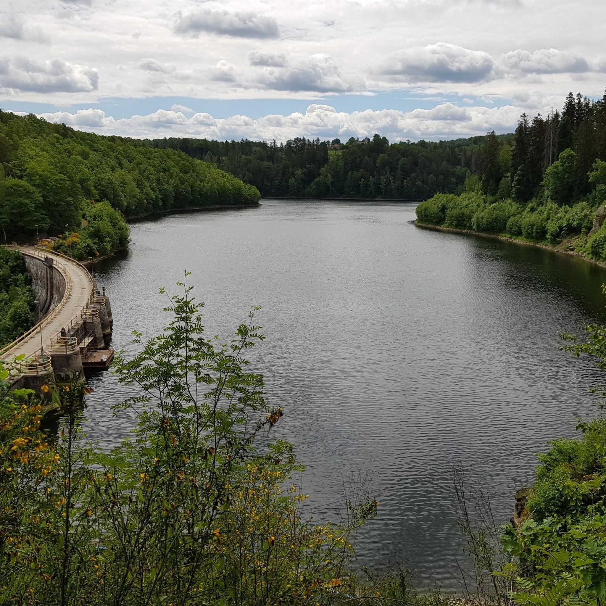
The Złotnicka Dam is an impressive structure situated on picturesque Lake Złotnickie, a beautiful spot on the Kwisa River. Its architecture was designed by the talented construction consultant Curt Bachmann from Jelenia Góra, who combined functionality with aesthetics in his work. This majestic dam not only regulates water flow but also enhances the landscape, creating an unforgettable atmosphere of harmony with nature.
1
0


Beautiful nature, beautiful views. Several restaurants and leisure activities
0
0


The Kwisa crossing bridge, although showing its age, is fully functional and safe. A beautiful panoramic view can be enjoyed from the middle of the bridge.
3
0
Frequently Asked Questions
How many hiking trails are available in Obszar Chronionego Krajobrazu Na Terenie Gminy Leśna?
There are over 25 hiking routes available in Obszar Chronionego Krajobrazu Na Terenie Gminy Leśna, catering to various skill levels. You'll find a mix of easy, moderate, and a few more challenging options to explore the diverse landscapes.
What types of landscapes will I encounter while hiking here?
The region offers diverse landscapes within the Iser Mountains Foothills. You'll hike through scenic river valleys, dense forests, and past artificial reservoirs like Leśniańskie Lake and Złotnicki Dam. The terrain includes hills, fields, and woodlands, providing a varied and engaging experience.
Are there any easy hiking trails suitable for beginners or families?
Yes, there are many easy options. Over half of the trails, specifically 16 out of 28, are rated as easy. An example is the Słomiany Dwór (Strohhof) – Hagenmühle Pearl Mill loop from Leśna, which is just over 5 km long and features minimal elevation changes, perfect for a relaxed outing.
Can I bring my dog on the hiking trails?
While the region is generally welcoming to outdoor activities, specific regulations for dogs on trails can vary. It's always best to keep your dog on a leash, especially in protected areas and near wildlife, and to check local signage for any restrictions in particular spots.
What historical landmarks or attractions can I visit along the trails?
The region is rich in history. A prominent landmark is Czocha Castle, a gothic fortress that also serves as a museum. Many trails, such as the Czocha Castle – Czocha Castle loop from Czocha Castle, offer views of this impressive structure. You can also visit the historic Leśniańska Dam and Hydroelectric Power Plant, an engineering marvel from the early 20th century.
Are there any unique natural features to explore?
Absolutely. The area boasts unique geological features, including two basalt volcanic cones, Stożek Perkuna near Smolnik and Stożek Światowida near Miłoszów, which are designated nature monuments. Additionally, you'll find numerous ancient and remarkable trees protected as natural monuments, especially around Czocha Castle.
Are there circular hiking routes available?
Yes, many of the trails are circular, allowing you to start and end at the same point. Popular examples include the Złotnicki Dam – Złotnicki Dam loop from Złotniki Lubańskie and the Czocha Castle – Czocha Castle loop from Leśna, which offer convenient exploration of the area's highlights.
What is the best time of year to go hiking in this region?
The region is beautiful throughout the warmer months, from spring to autumn, when the forests are lush and the weather is generally pleasant for hiking. Spring brings blooming flora, while autumn offers vibrant foliage. While winter hiking is possible, be prepared for colder conditions and potential snow.
What do other hikers say about the trails in Obszar Chronionego Krajobrazu Na Terenie Gminy Leśna?
The trails in Obszar Chronionego Krajobrazu Na Terenie Gminy Leśna are highly rated by the komoot community, with an average score of 4.4 stars from over 100 reviews. Hikers often praise the diverse scenery, the well-maintained paths, and the combination of natural beauty with historical landmarks like Czocha Castle and the impressive dams.
Where can I find parking for the hiking trails?
Parking is generally available near popular trailheads and attractions such as Czocha Castle and the dams. For specific routes, it's advisable to check the route details on komoot, as many start points are accessible by car and offer designated parking areas.
Are there any educational trails in the area?
Yes, the region features themed paths like the 'Trail of Extinct Volcanoes' and the 'Trail of Living Nature Monuments'. These trails provide an opportunity to learn about the area's unique geological history and rich biodiversity while enjoying a walk or cycle.
Are there any protected natural areas I should be aware of?
The region is part of a protected landscape and includes two Natura 2000 sites: Sztolnie w Leśnej and Łąki Gór i Pogórza Izerskiego. These areas are crucial for protecting valuable habitats and species, enhancing the natural appeal for hikers. For more information on protected areas, you can consult official sources like lasy.gov.pl or gov.pl.
What is the general difficulty level of the trails?
The trails in Obszar Chronionego Krajobrazu Na Terenie Gminy Leśna offer a range of difficulties. Most routes are classified as easy or moderate, with 16 easy and 11 moderate trails. There is also one difficult route for those seeking a greater challenge, ensuring options for all experience levels.
Most popular routes in Obszar Chronionego Krajobrazu Na Terenie Gminy Leśna
Most popular attractions in Obszar Chronionego Krajobrazu Na Terenie Gminy Leśna

Get inspired with the komoot mobile app


Explore more
Browse the best Hikes in other regions.
