The best running trails in Chko Lužické Hory
4.6
(11)
139
runners
32
runs
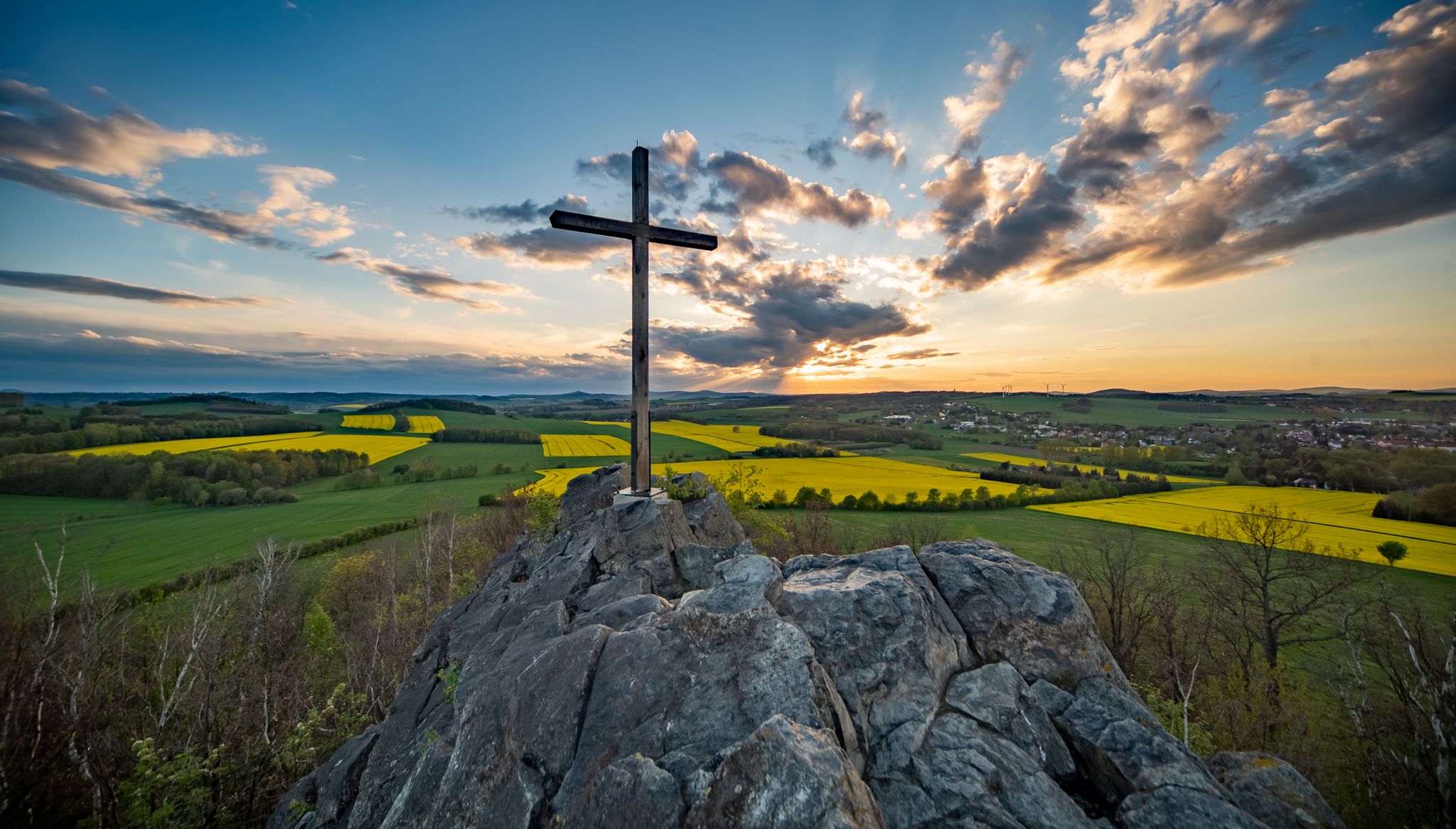
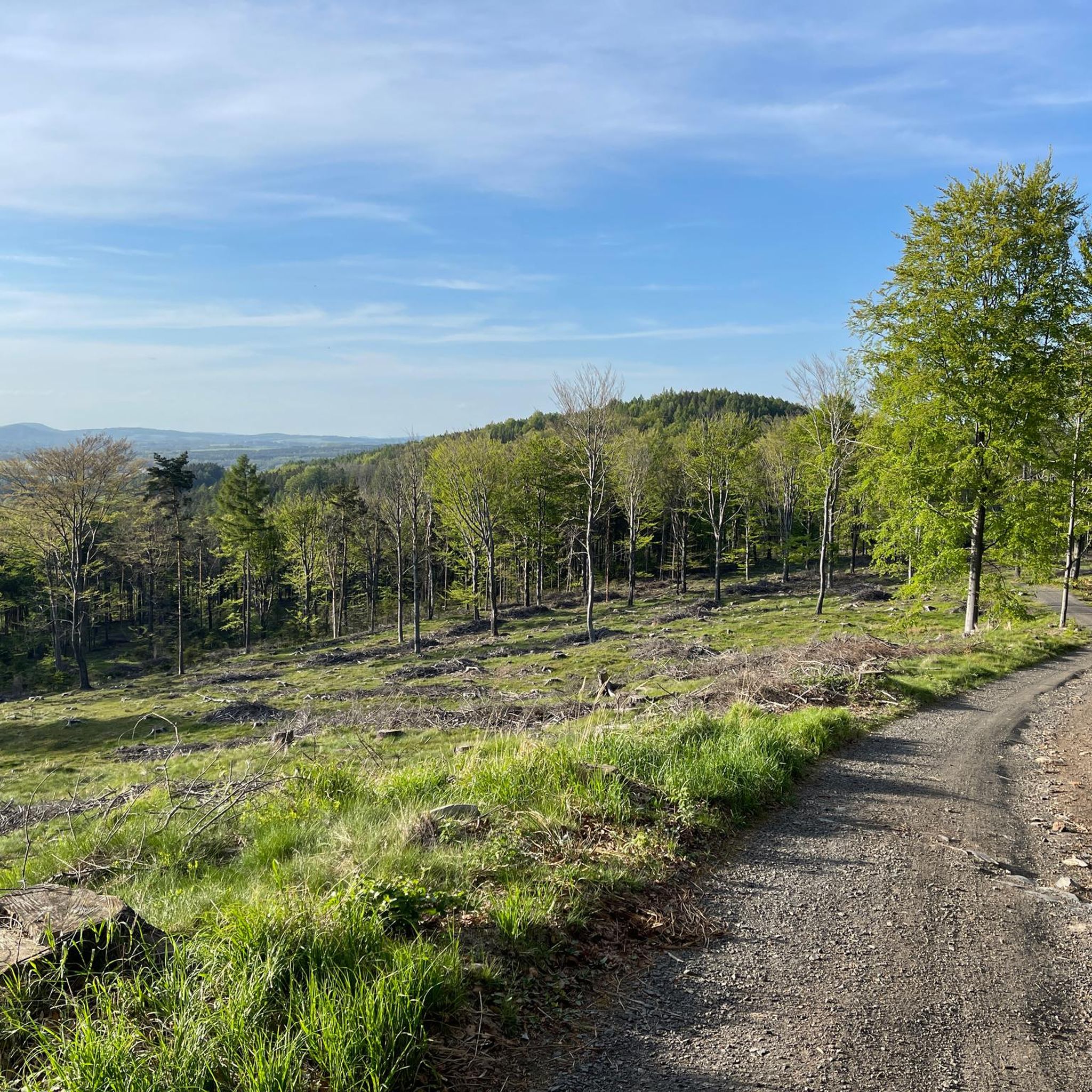
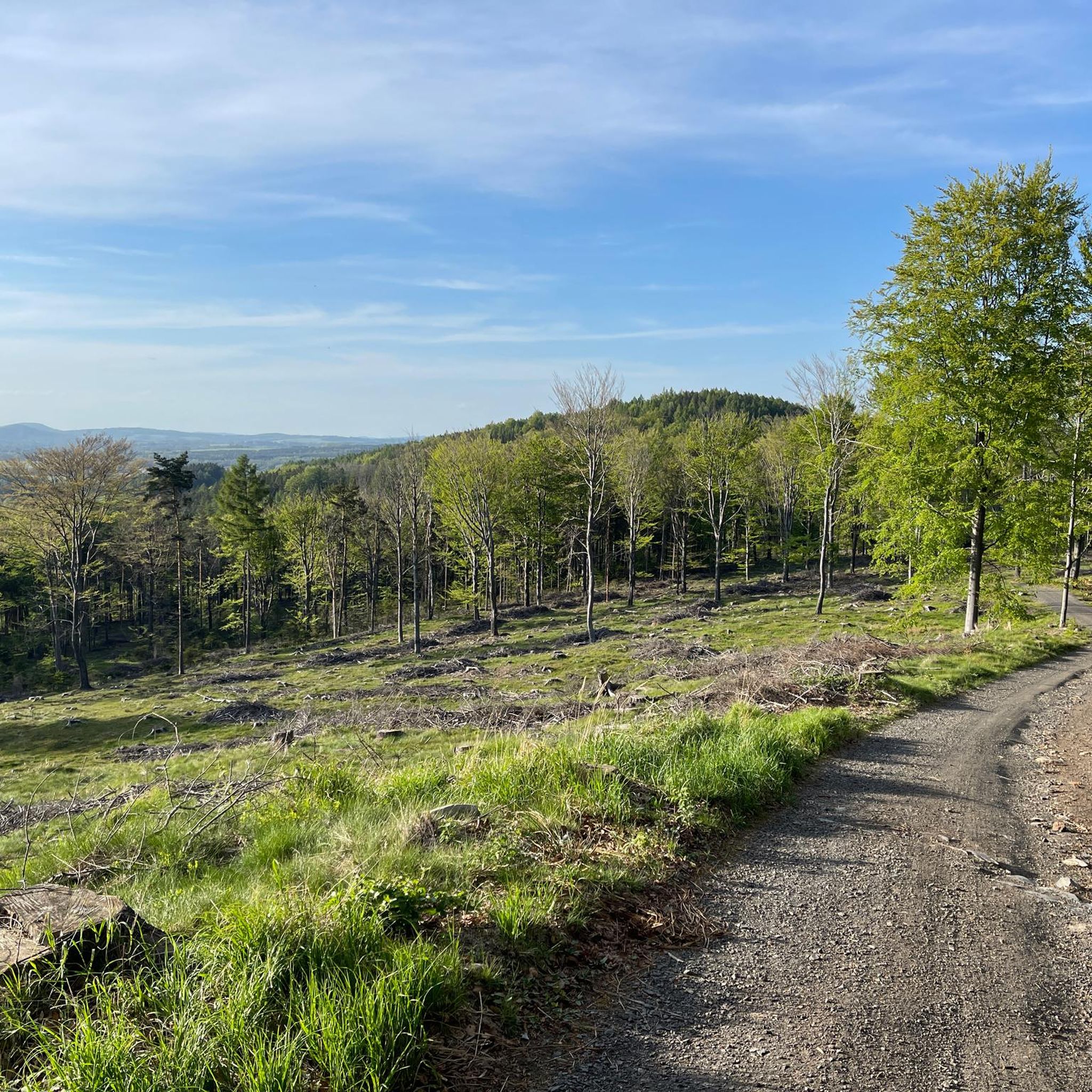
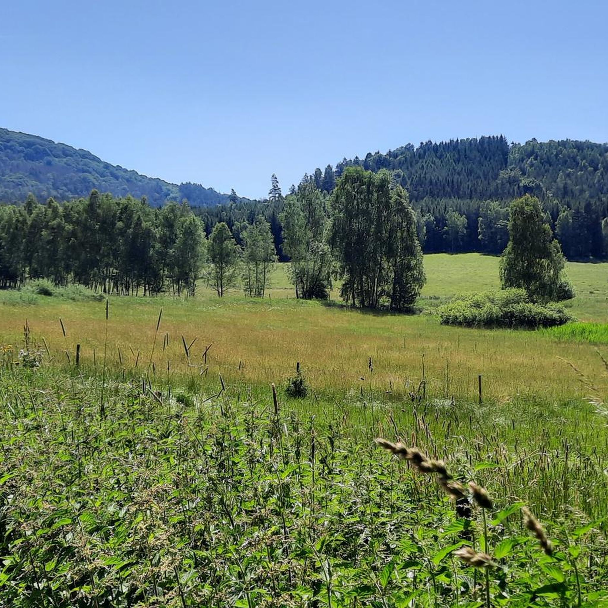
Jogging in Chko Lužické Hory offers diverse terrain within a protected landscape area characterized by basalt and phonolite cones, sandstone formations, and extensive forests. The region features a harmonious blend of geological formations and rich ecosystems, including spruce forests and submontane meadows. Elevations range from 289 to 793 meters, providing varied inclines and surfaces for running. The area is also a headwater region for several smaller streams, adding to its natural features.
Best jogging routes in Chko Lužické Hory
- The…
Last updated: July 8, 2026
11
runners
4.07km
00:34
190m
190m
Moderate run. Good fitness required. Mostly paved surfaces. Suitable for all skill levels.
9
runners
12.9km
01:34
360m
360m
Hard run. Very good fitness required. Mostly paved surfaces. Suitable for all skill levels.

Sign up for free
5.0
(1)
7
runners
15.6km
02:02
560m
560m
Hard run. Very good fitness required. Mostly paved surfaces. Suitable for all skill levels.
5.0
(1)
9
runners
6.44km
00:49
150m
150m
Hard run. Good fitness required. Sure-footedness, sturdy shoes and alpine experience required.
4.0
(1)
5
runners
Moderate run. Good fitness required. Mostly paved surfaces. Suitable for all skill levels.
Get access to more routes and recommendations from other explorers.
Sign up for free
Already have an account?
Our route recommendations are based on thousands of hikes, rides, and runs completed by other people on komoot.
Start today with a free account
Your next adventure awaits.
Login or Signup
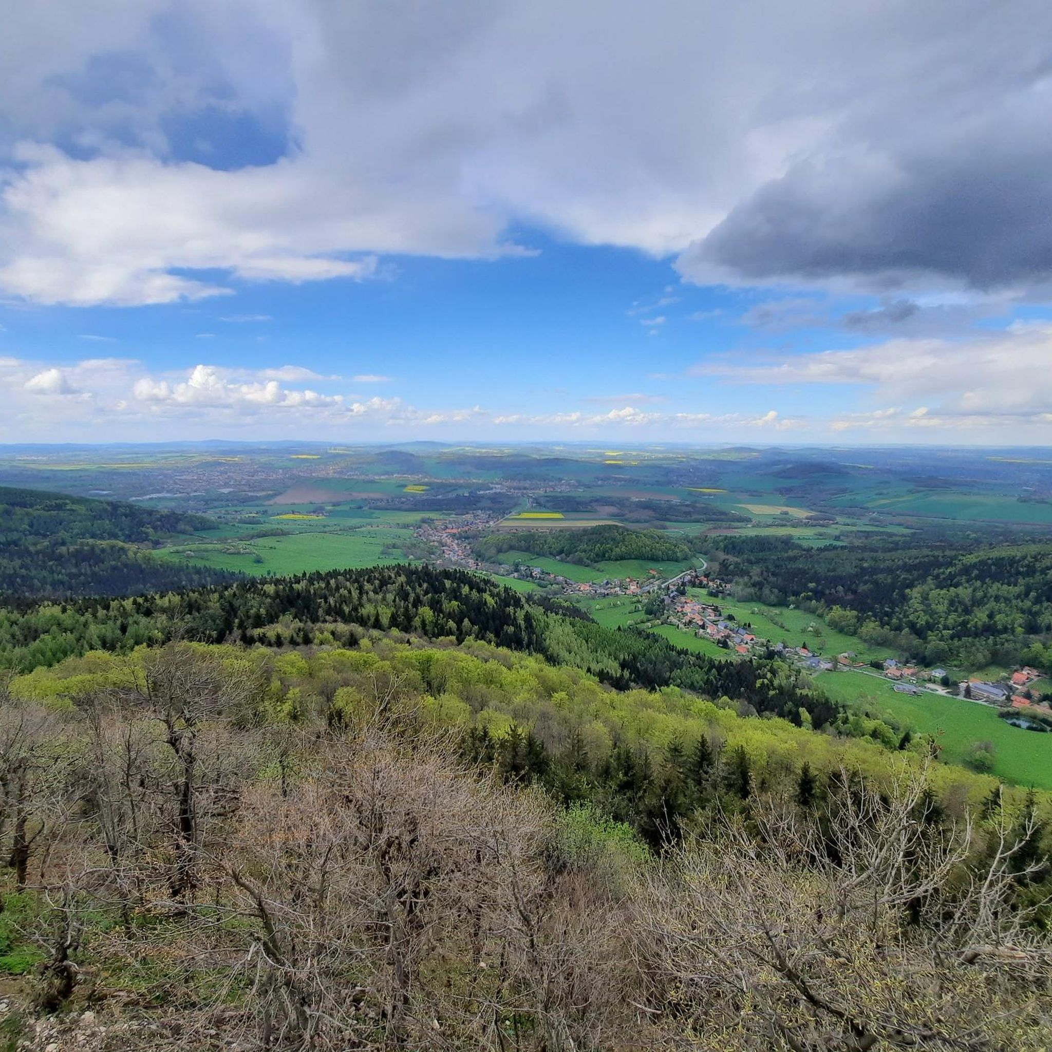
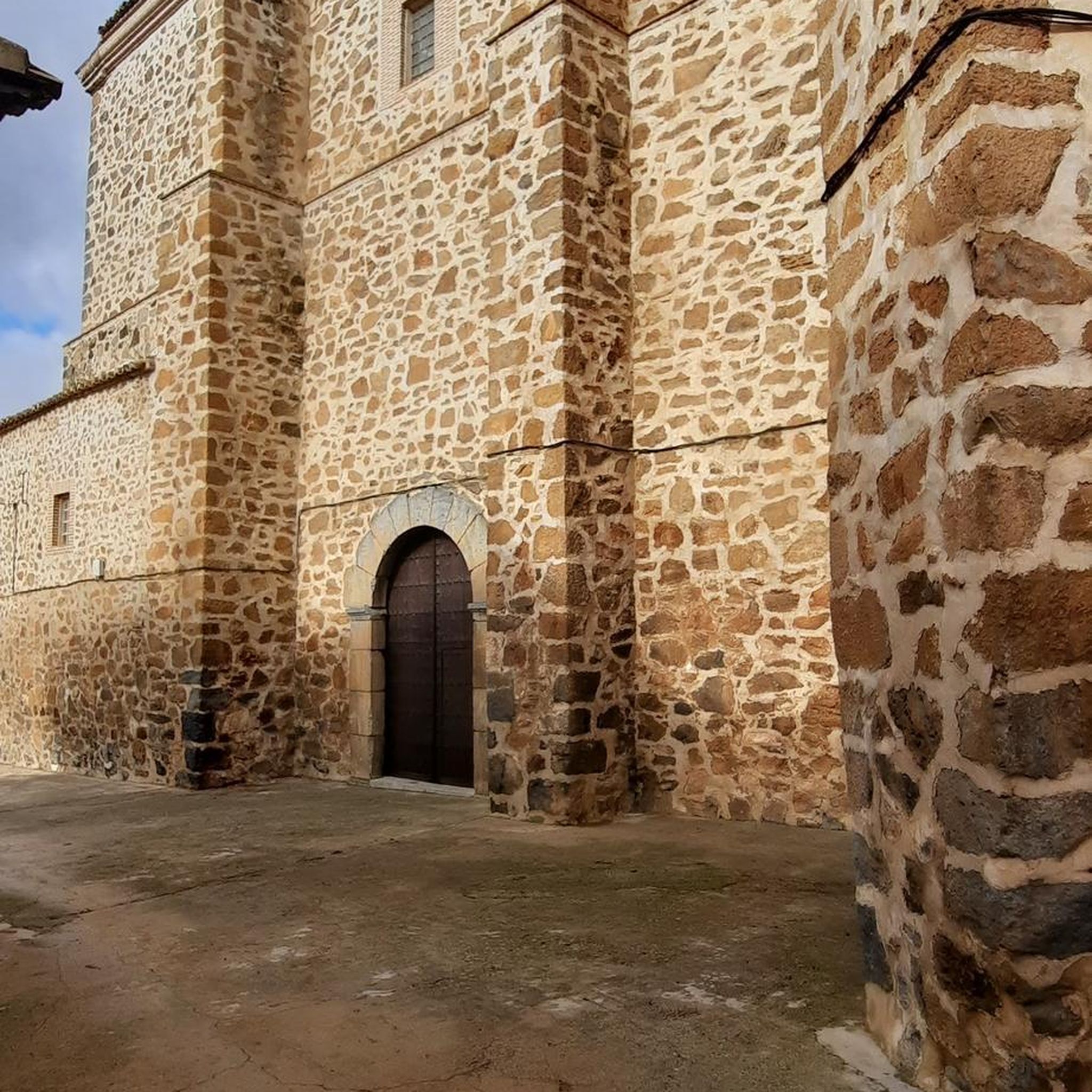
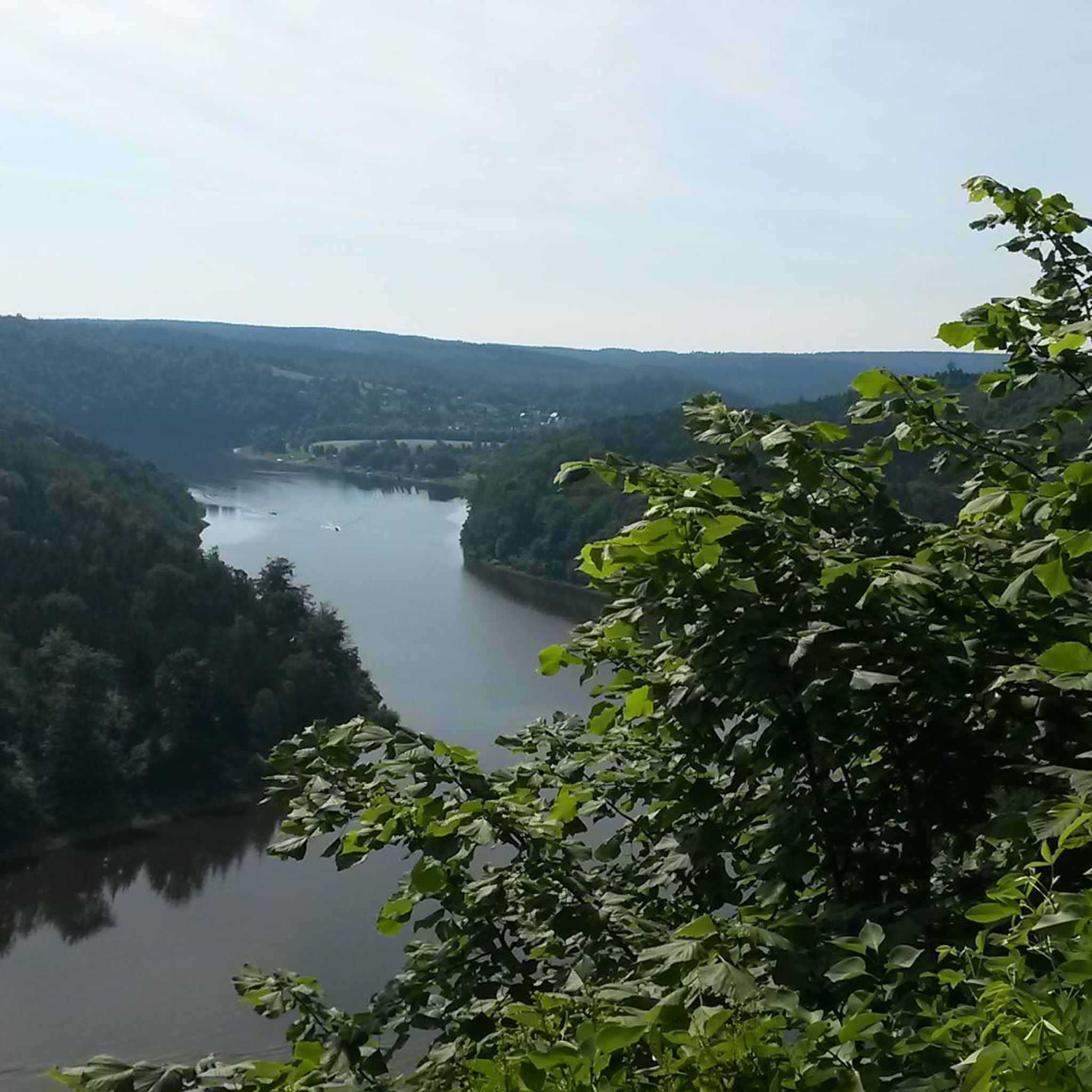
Other adventures in Chko Lužické Hory

Tips from the Community

Great. And with a bit of imagination, you can recognize heads facing each other here.
1
0


They are dotted around the whole area 😉 Near Hradec Králové there is a museum where the entire wall is explained. Basically the Czech Maginot Line.
0
0


Very nice view if the weather cooperates.
0
0

We reach the Scharfenstein, we are at an altitude of 530 meters, looking up, it is about 25 meters high. We get to the top via the stairs. Deep down the view into the valley, we see the town of Oybin, the mountain of the same name almost small, we also see the Lausche mountain. The sun shimmers a bit through the clouds, we take a deep breath. https://youtu.be/N2GgTh6HEzQ
0
0

Without a doubt a great area and as others have written: You can't get enough of the many rock formations. I would mark the Kaisergrund highlight a few meters further south than it is displayed for me.
0
0
As we now ascend the final stretch to the summit of the Lausche mountain, we'll climb 120 meters in altitude over the next 500 meters. This mountain is the highest in the Lusatian Mountains. The fog is increasingly thickening into a cloud, and our view downwards is becoming increasingly obscured. Looking upwards, we can only vaguely make out the outline of the observation tower. We reach the very top at an altitude of 793 meters. With visibility now limited to just a few meters, we enter the observation tower. We experience the view, completely enveloped by a cloud. This moment is fascinating and exciting; it will remain in our memories. Through a small gap above us, we catch a glimpse of blue sky. Having come from the Czech side, we will descend the mountain again on the German side. Ruins remain as reminders of the mountain hut that once stood here, which burned down in 1946. The path leads back down to Waltersdorf. https://youtube.com/shorts/j3oD8QzMxeA?feature=share https://youtu.be/Ip7zpvYwFBw
0
0
Frequently Asked Questions
How many running routes are available in Chko Lužické Hory?
Chko Lužické Hory offers a wide selection of running routes, with over 30 trails available on komoot. These routes cater to various fitness levels, including easy, moderate, and difficult options.
What kind of terrain can I expect when running in Chko Lužické Hory?
The region features a diverse landscape, characterized by distinctive basalt and phonolite cones, sandstone formations, and extensive forests, primarily spruce. You'll encounter varied inclines and surfaces, with elevations ranging from 289 to 793 meters. The trails often lead through serene woodlands and submontane meadows, sometimes alongside smaller streams.
Are there easy running routes suitable for beginners in the Lusatian Mountains?
Yes, there are routes suitable for beginners. While many trails are moderate or difficult, you can find easier options. For instance, the Brooding Hen – View of Oybin loop from Oybin is a moderate 6.4 km (4.0 miles) trail that offers a pleasant experience without extreme challenges.
What do other runners say about the trails in Chko Lužické Hory?
The running trails in Chko Lužické Hory are highly regarded by the komoot community, holding an average rating of 4.2 out of 5 stars from 13 reviews. Over 100 runners have explored the area using komoot, often praising the diverse terrain and scenic views.
Can I find routes with good viewpoints in Chko Lužické Hory?
Absolutely. The region is known for its panoramic vistas. Notable viewpoints include the Lausche Summit and Observation Tower, offering expansive views into both the Czech Republic and Germany. Jedlová (Tannenberg) with Observation Tower also provides excellent views, as does Klíč Mountain, which offers extensive panoramas of the surrounding area.
Are there any longer running trails for endurance training in the area?
Yes, for those seeking longer runs, there are several options. The Picnic Area at Sorgeteich – View from Lausche loop from Dolní Podluží is a challenging 15.8 km (9.8 miles) trail with significant elevation gain, ideal for endurance. Another option is the Wyrzete Khaatal Inn – Stará Hospoda Dobřichovice loop from Krásná Lípa město, a moderate 13.5 km (8.4 miles) route.
What natural landmarks can I see along the running routes in Chko Lužické Hory?
The region is rich in unique natural landmarks. You can encounter impressive rock formations like Falkenstein, which offers views towards Lausche, or the distinctive basalt columns of Pustý zámek. The Naděje Reservoir is another beautiful spot, and you might even discover the unique Ice Cave near Naděje, the only one in the Lusatian Mountains.
Are there any circular running routes in Chko Lužické Hory?
Many of the running routes in Chko Lužické Hory are designed as loops, offering a convenient way to start and finish in the same location. Examples include the popular View from Lausche – Lužická Hut loop from New Brasil Hillside Bog and the challenging Kaisergrund Rock Formations loop from Rynoltice.
What are the best times of year for jogging in Chko Lužické Hory?
The diverse terrain and extensive forests make Chko Lužické Hory suitable for jogging across multiple seasons. Spring and autumn offer pleasant temperatures and vibrant scenery. Summer provides shaded paths through the forests, while winter can transform the landscape into a picturesque, albeit more challenging, environment for running, especially on higher elevations like Lausche.
Are there any educational trails that are good for running in the Lusatian Mountains?
Yes, Chko Lužické Hory is crisscrossed by numerous marked hiking and educational paths that can also be enjoyed for running. These include the International Educational Trail Lužické and Žitavské Hory, Naučná stezka Brazilka, Naučná stezka Okolím Studence, and Köglerova stezka. These trails combine physical activity with opportunities to learn about the region's natural and cultural heritage.
Can I find running routes that pass by water features like lakes or streams?
Yes, the region is a headwater area for several smaller streams like the Svitávka and Kamenice, and features various lakes and reservoirs. You can find routes that pass by the Naděje Reservoir or the Kyjovská Reservoir (Khaa Dam), offering refreshing views and sounds of water during your run.
Most popular routes in Chko Lužické Hory
Most popular attractions in Chko Lužické Hory

Get inspired with the komoot mobile app


Explore more
Browse the best Running Trails & Routes in other regions.
