The best walks and hikes around Hochfelden
4.7
(8)
128
hikers
19
hikes
Hiking around Hochfelden offers diverse outdoor activities, characterized by its varied natural features and well-maintained trails. The region features single trails along the Glatt River, providing serene environments for walkers. Additionally, the Neeracher Ried Nature Reserve is a significant attraction, offering moderate hiking loops. These routes traverse easily accessible paths and present diverse scenery suitable for different fitness levels.
Best hiking trails around Hochfelden
- The most popular hiking route is Chellerhal single trail loop from Bülach, a 4.0 miles…
Last updated: October 4, 2026
4.0
(1)
28
hikers
6.37km
01:38
30m
30m
Easy hike. Great for any fitness level. Easily-accessible paths. Suitable for all skill levels.
5.0
(2)
23
hikers
Moderate hike. Good fitness required. Easily-accessible paths. Suitable for all skill levels.

21
hikers
4.23km
01:07
40m
40m
Easy hike. Great for any fitness level. Easily-accessible paths. Suitable for all skill levels.
4.0
(1)
11
hikers
4.48km
01:11
40m
40m
Easy hike. Great for any fitness level. Easily-accessible paths. Suitable for all skill levels.
6
hikers
5.25km
01:23
50m
50m
Easy hike. Great for any fitness level. Easily-accessible paths. Suitable for all skill levels.
Get access to more routes and recommendations from other explorers.
Already have an account?
Our route recommendations are based on thousands of hikes, rides, and runs completed by other people on komoot.
Start today with a free account
Your next adventure awaits.
Tips from the Community

Beautiful morning atmosphere
0
0

Immediately after the steel work of art you come to this quite impressive church at the top of the mountain.
0
0

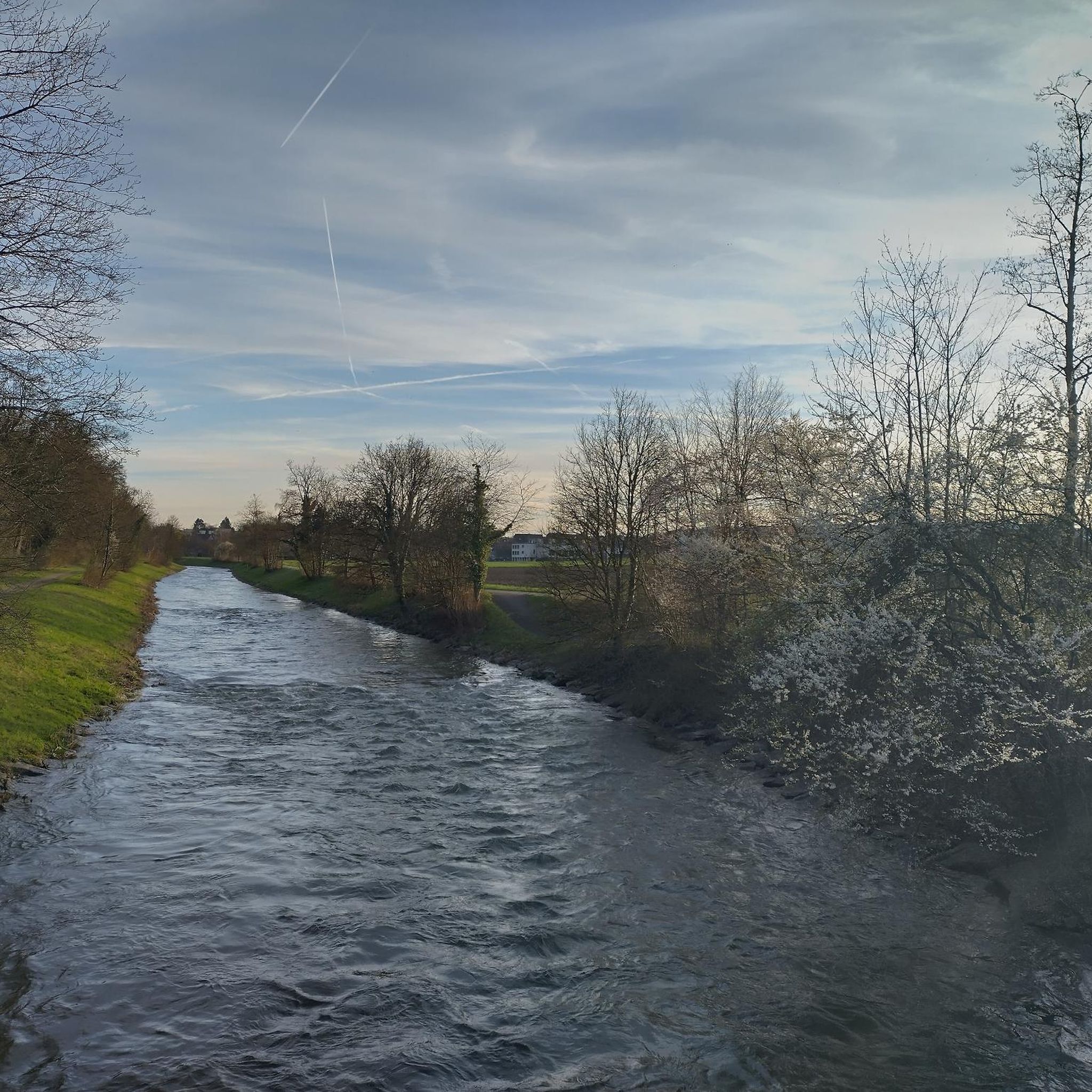
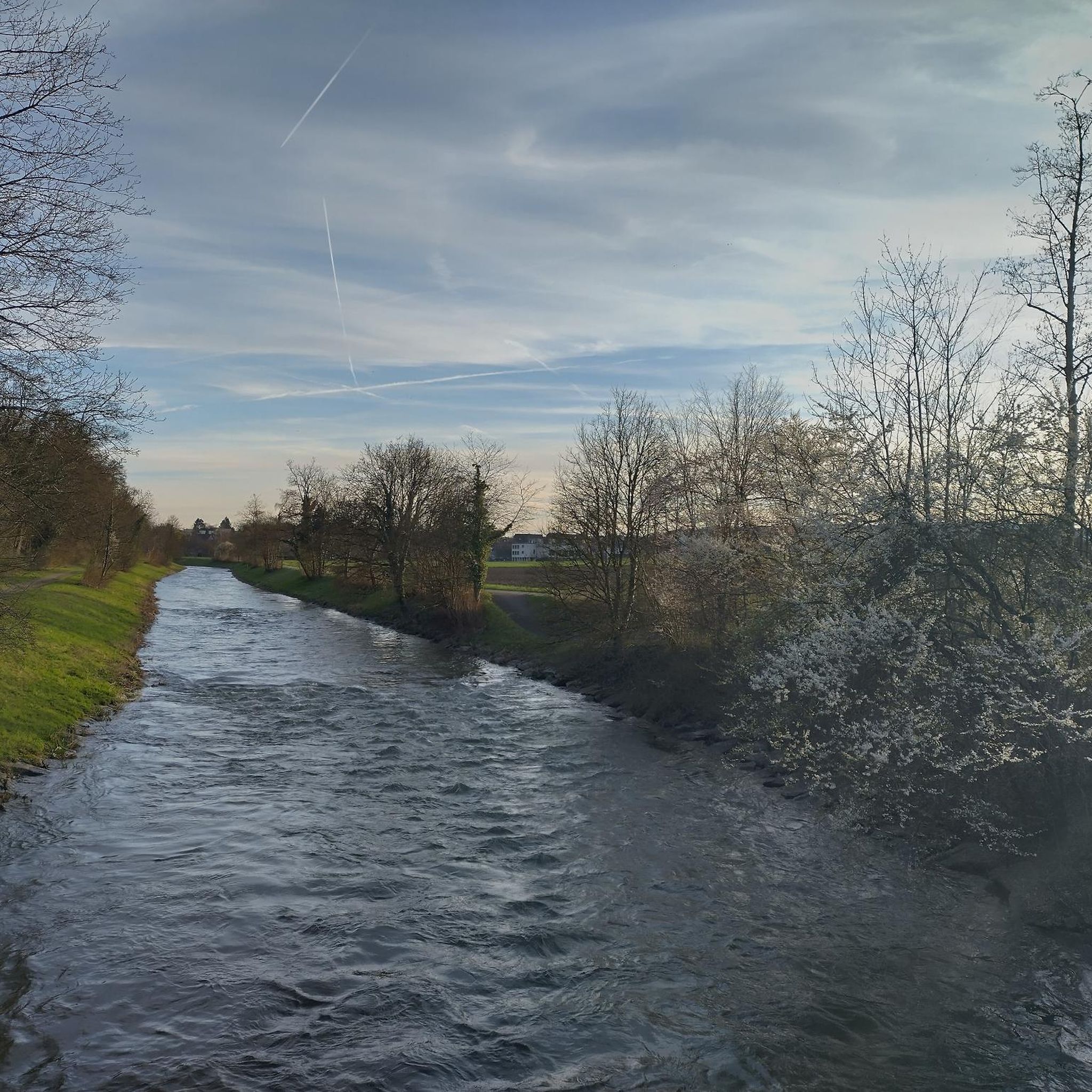
Switching from asphalt to single trail directly on the Glattufer. Runs parallel to the official cycle route. Less traffic, even quieter, few pedestrians, mainly walkers with their pets 🦮🐕🦺. Easy trail that is easy for everyone to ride.
3
0

Boundary stone from 1671
1
0

A place in the river rink where you can swim well, there is a barbecue area and the remains of an old bridge.
0
0

The biker trails are ingeniously separated from the hiking trails.
3
0

From here you can start three hikes, depending on your mood. blue - 5.1 kilometers green - 6.2 kilometers yellow - 9.3 kilometers
4
0
Frequently Asked Questions
How many hiking trails are available around Hochfelden?
Hochfelden offers a good selection of hiking opportunities, with over 20 routes to explore. These include a mix of easy, moderate, and a few more challenging options to suit various preferences.
Are there easy hiking trails suitable for beginners or families in Hochfelden?
Yes, Hochfelden has several easy trails perfect for beginners or families. For instance, the Helsana Trail loop from Bülach is an easy 4.2 km route. Another great option is the Large Barbecue Area loop from Hochfelden, which is 5.2 km and leads through varied terrain.
What kind of natural features can I expect to see on hikes in Hochfelden?
Hiking in Hochfelden offers diverse scenery. You can enjoy serene single trails along the banks of the Glatt River, explore the natural beauty of the Neeracher Ried Nature Reserve, and traverse varied terrain with easily accessible paths. The region is known for its well-maintained trails and natural landscapes.
Are there any circular hiking routes in Hochfelden?
Many of the trails in Hochfelden are circular, providing convenient starting and ending points. Examples include the easy Chellerhal single trail loop from Bülach and the moderate Neeracher Ried Nature Reserve loop from Bülach.
What are some interesting natural monuments or landmarks to see near the hiking trails?
The region around Hochfelden boasts several natural highlights. You can visit the Weiacher Höhe, explore the Erdmannliloch cave, or observe birds at the Neeracherried – a bird paradise. The Golden Gate (a lake) and the Thurspitz, where the Thur and Rhine rivers converge, are also notable attractions.
Are there any hiking trails that offer barbecue or swimming spots?
Yes, some sections of the single trails along the Glatt River offer spots for swimming and barbecue areas. These trails provide a serene environment for walkers, making them ideal for a leisurely day out.
What do other hikers say about the trails in Hochfelden?
The hiking routes in Hochfelden are highly regarded by the komoot community, with an average rating of 4.6 stars from numerous reviews. Hikers often praise the diverse scenery, well-maintained paths, and the peaceful atmosphere, especially along the Glatt River.
Are there any moderate hiking options for those looking for a bit more challenge?
Absolutely. For a moderate challenge, consider the Chellerhal single trail – The Glatt near Glattfelden loop from Bülach, which is an 8.3 km route. Another popular moderate option is the 10.4 km Neeracher Ried Nature Reserve loop from Bülach.
Can I find trails that are less crowded than official cycle routes?
Yes, the single trails that run directly along the banks of the Glatt River are often quieter and less crowded than official cycle routes. They offer a more serene environment for walkers to enjoy nature.
What is the typical duration for hikes in Hochfelden?
Hiking durations vary depending on the trail and your pace. Easy routes like the Helsana Trail loop from Bülach can be completed in just over an hour, while moderate trails such as the Neeracher Ried Nature Reserve loop from Bülach might take around 2 hours and 45 minutes.
Is the Neeracher Ried Nature Reserve accessible for hiking?
Yes, the Neeracher Ried Nature Reserve is a significant attraction in the region, offering moderate hiking loops that allow visitors to experience its natural beauty and observe local wildlife, particularly birds.
Most popular routes around Hochfelden
Most popular attractions around Hochfelden

Get inspired with the komoot mobile app


Explore more
Browse the best Hikes in other regions.
