The best walks and hikes around Hochleithen
4.6
(984)
4,358
hikers
596
hikes
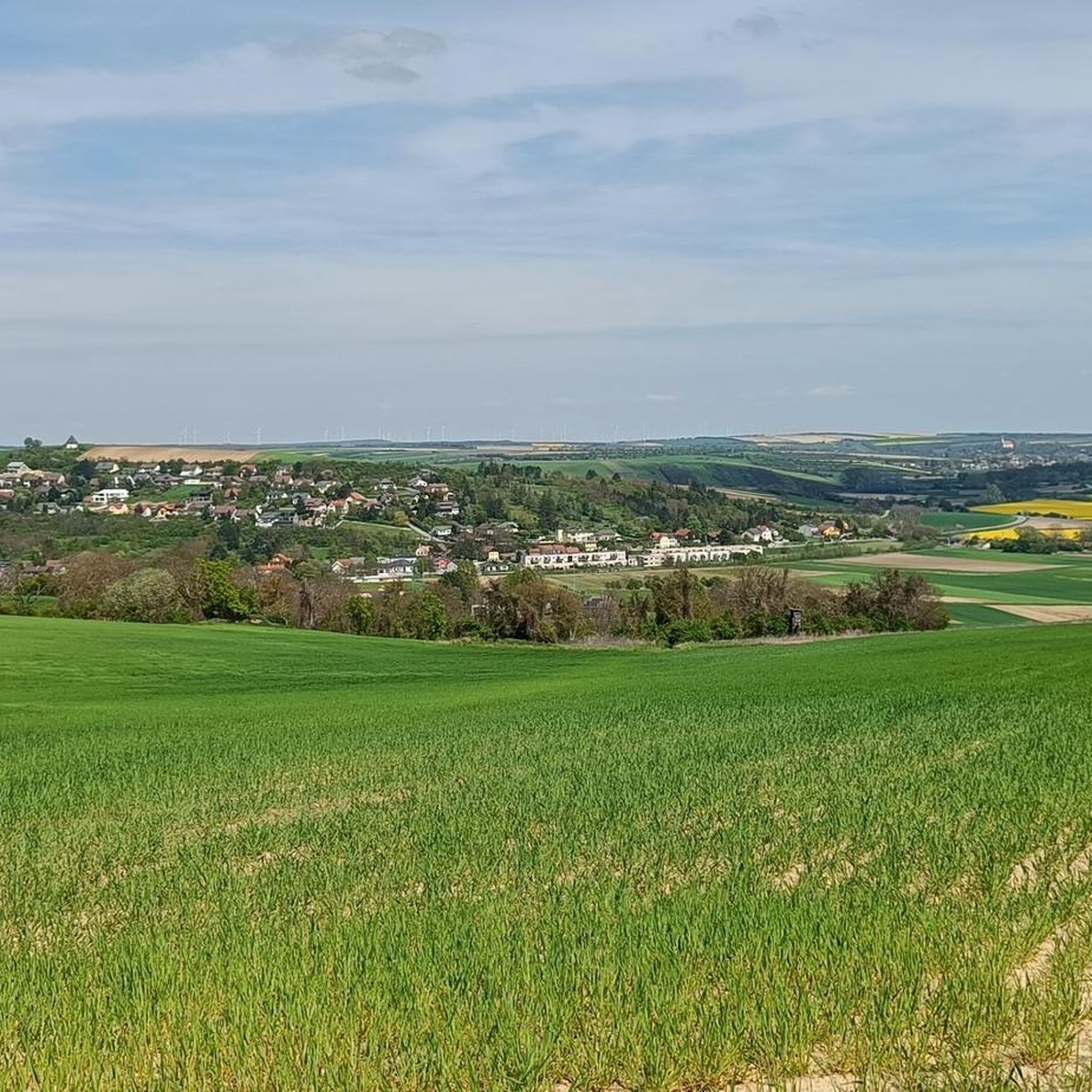
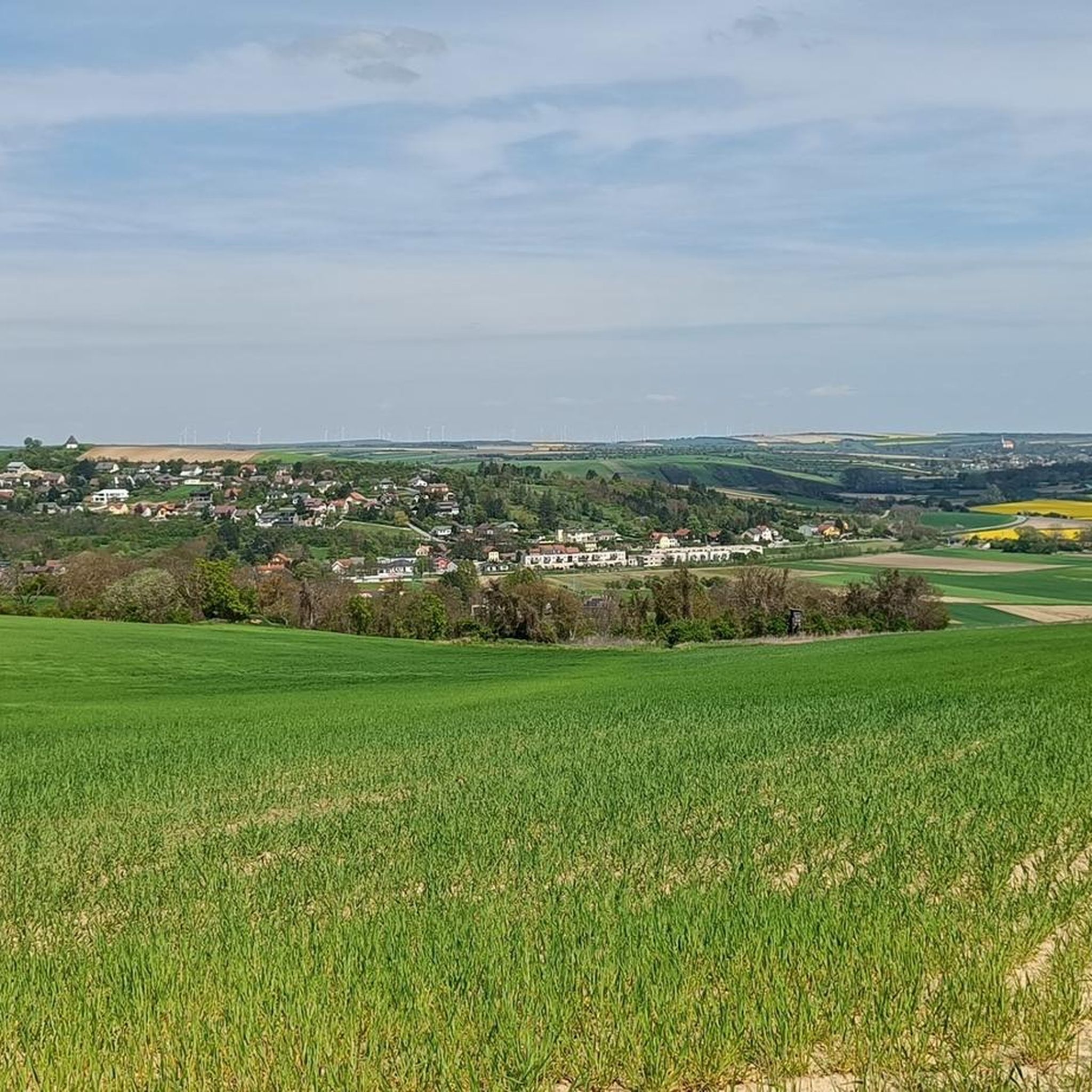
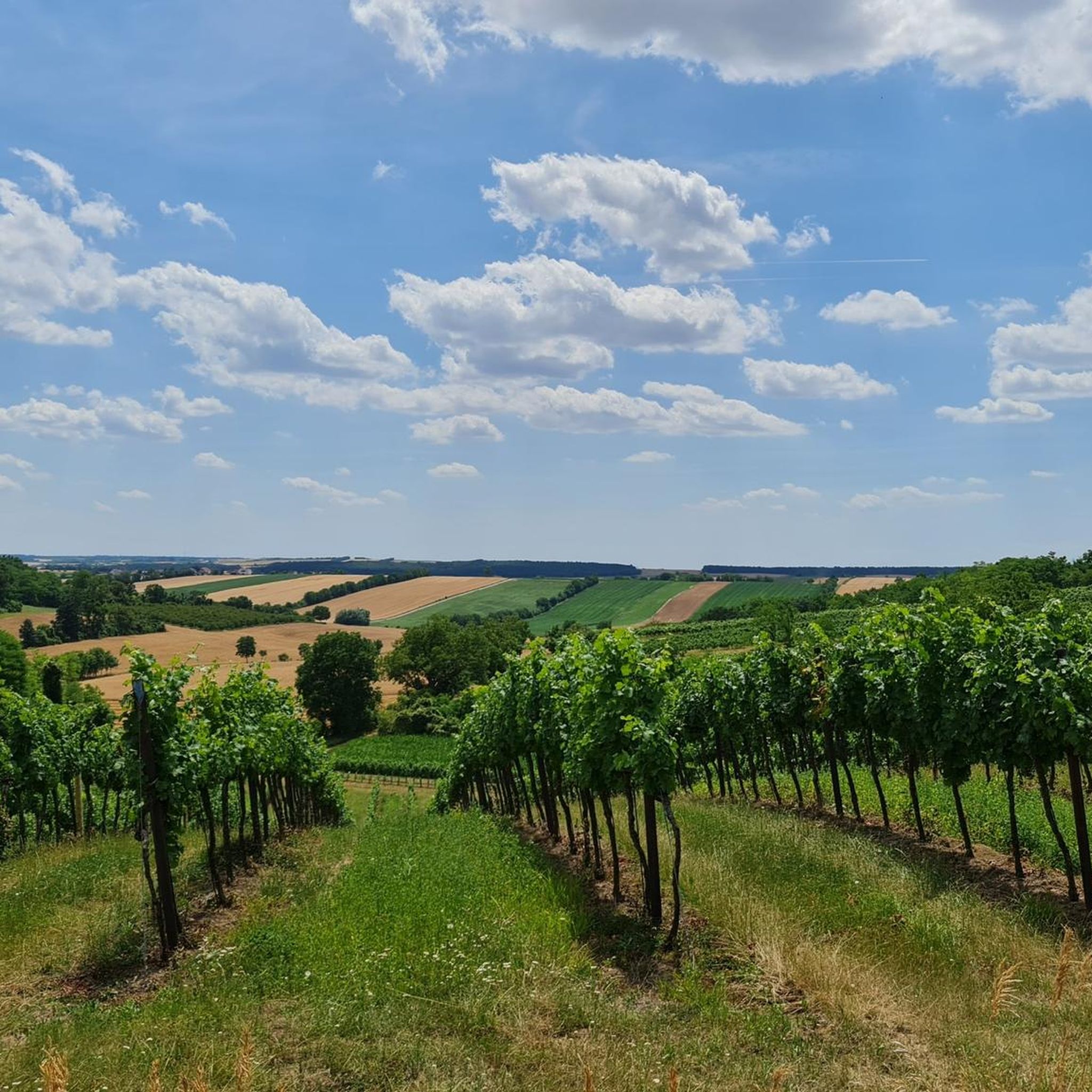
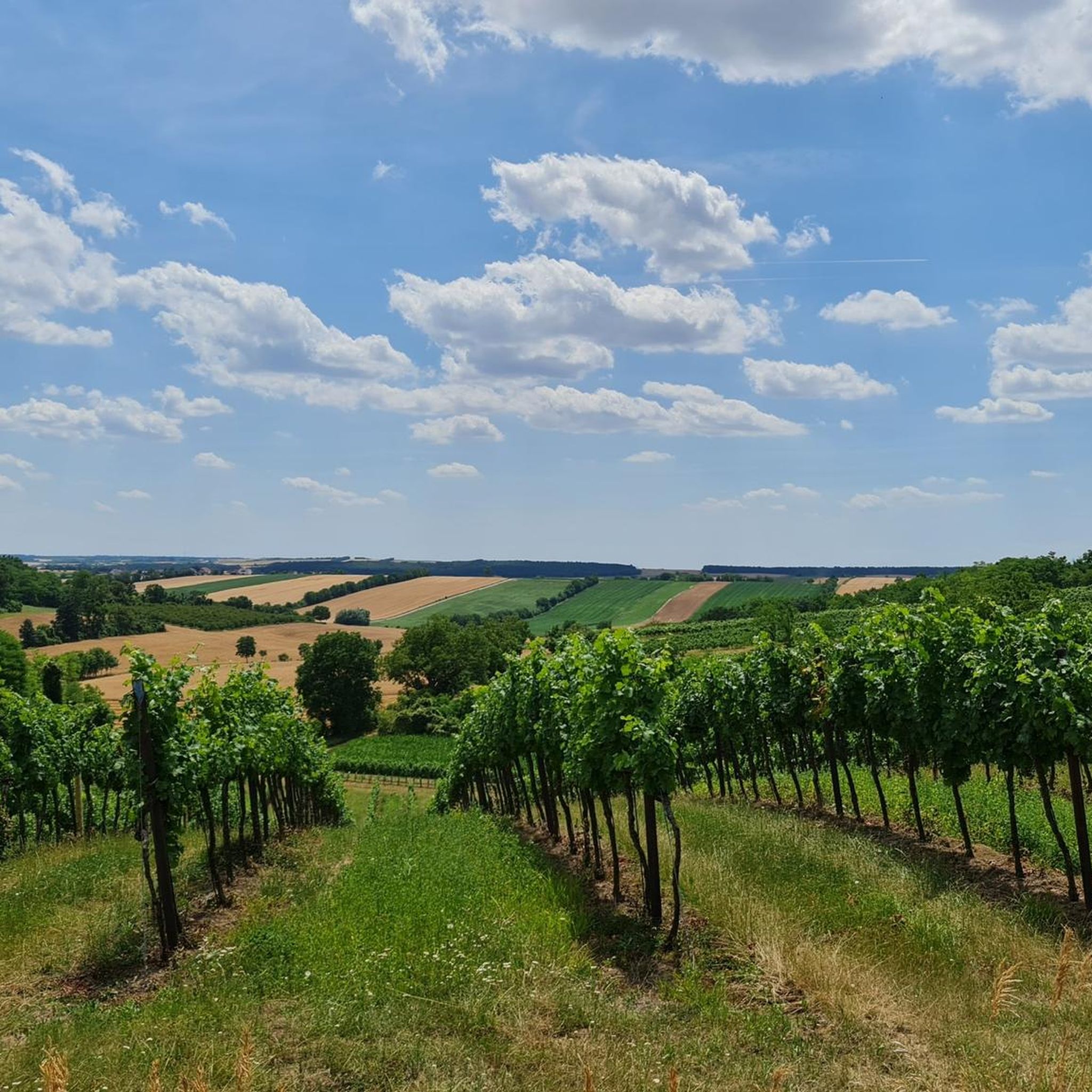
Hiking around Hochleithen, located in the Mistelbach district of Lower Austria, offers diverse landscapes for outdoor activities. The region is characterized by rolling hills, verdant meadows, and the Leitha Mountains, providing a scenic backdrop for various trails. Hikers can explore dense forests, wander past small streams, and discover picturesque vineyards and charming Kellergassen. The terrain includes gentle paths suitable for leisurely walks and more challenging routes with elevation changes.
Best hiking trails around Hochleithen
- The most popular hiking route is…
Last updated: August 25, 2026
4.7
(10)
39
hikers
Easy hike. Great for any fitness level. Easily-accessible paths. Suitable for all skill levels.
4.5
(13)
58
hikers
16.4km
04:31
270m
270m
Moderate hike. Good fitness required. Easily-accessible paths. Suitable for all skill levels.

Sign up for free
3.8
(4)
15
hikers
Easy hike. Great for any fitness level. Easily-accessible paths. Suitable for all skill levels.
5.0
(5)
10
hikers
10.7km
02:56
170m
170m
Moderate hike. Good fitness required. Easily-accessible paths. Suitable for all skill levels.
4.5
(2)
7
hikers
Easy hike. Great for any fitness level. Easily-accessible paths. Suitable for all skill levels.
Get access to more routes and recommendations from other explorers.
Sign up for free
Already have an account?
Our route recommendations are based on thousands of hikes, rides, and runs completed by other people on komoot.
Start today with a free account
Your next adventure awaits.
Login or Signup
Tips from the Community


Beautiful, easy gravel section over the Hundsberg!
0
0

The 800-year-old pilgrimage church of St. Lambert on the "Holy Mountain" is located on a wooded hill north of Hautzendorf and is considered a particularly mystical place of power. In the church tower there is a bell from 1452.
1
0
To find the Bründl you have to look over the inconspicuous wall.
1
0
Nice little inn right by the train station.
1
0
Gently embedded in the hills of the southern Weinviertel, the Hautzendorf cellar lane invites you to explore wine and its history. The train station, which was built in 1870 in Hohlwegkellergasse, is unique.
1
0

Nice photo motif along the way, with benches next to it
0
0
Nice cellar lane, easy to drive up ...
1
0
Frequently Asked Questions
How many hiking trails are available around Hochleithen?
Hochleithen offers a wide variety of hiking experiences, with over 600 routes available. These range from easy strolls to more challenging excursions, catering to different fitness levels.
What kind of terrain can I expect on the hiking trails in Hochleithen?
The region is characterized by rolling hills, verdant meadows, and dense forests, with the picturesque Leitha Mountains providing a scenic backdrop. Trails often traverse charming Kellergassen (cellar alleys) and vineyards. You'll find a mix of gentle paths and routes with moderate elevation changes.
Are there easy or family-friendly hiking options in Hochleithen?
Yes, Hochleithen is well-suited for families and those seeking easier walks. Over 300 of the available routes are classified as easy. For example, the Kronberg Cellar Lane – Rest Area in a Village Setting loop from Katastralgemeinde Kronberg is an easy 4.4 km path, perfect for a pleasant stroll. The idyllic Linsbergsee Lake is also noted as ideal for families, offering serene settings for leisurely walks.
Are there any circular hiking routes in the area?
Many of the trails around Hochleithen are designed as circular routes, allowing you to start and end at the same point. An example is the Kellergasse in the hollow way – Kellergasse Hautzendorf loop from Hautzendorf, an easy 7.0 km trail that takes you through unique cellar alleys.
What is the best time of year to go hiking in Hochleithen?
The best times to visit Hochleithen for hiking are spring and autumn. In spring, you'll witness vibrant wildflowers, while autumn offers a spectacular display of red, orange, and yellow foliage, enhancing the natural beauty of the trails.
What natural features and viewpoints can I discover while hiking?
Hikers can explore dense forests, wander past small streams, and discover picturesque vineyards. From the summit of the Leithaberg, you can enjoy breathtaking panoramic views that can extend to Vienna and, on clear days, even to the distant Alps. Many trails offer scenic viewpoints across the rolling landscape.
Are there any interesting historical or cultural sights along the trails?
Yes, Hochleithen offers cultural highlights. You can explore charming Kellergassen (cellar alleys), such as those in Wolfpassing, which provide unique routes for relaxed strolls and culinary stops. The significant Baroque Church of St. Nicholas in Wolfpassing is also a notable cultural attraction, and nearby, you can find a roughly 300-year-old linden tree, a natural monument.
What do other hikers enjoy most about the trails in Hochleithen?
The hiking trails in Hochleithen are highly rated by the komoot community, with an average score of 4.6 stars from over 850 reviews. Hikers often praise the diverse landscapes, the charm of the Kellergassen, and the scenic views, especially from elevated points like the Leithaberg.
Are there options for more challenging hikes in Hochleithen?
While many routes are easy, Hochleithen also offers options for more demanding excursions. There are 291 moderate and 8 difficult routes available. For instance, the View of Wolkersdorf – Waldandacht Shrine loop from Hautzendorf is a moderate 10.7 km trail leading through varied terrain.
Is public transport available to reach the trailheads, or is parking generally accessible?
While specific public transport details for individual trailheads are not provided, the region is generally accessible. Parking is typically available near popular starting points for hikes, especially in villages like Hautzendorf and Katastralgemeinde Kronberg, which serve as common access points for many routes.
Are there any lakes or water features to visit near the hiking trails?
Yes, the region features several lakes and ponds. The Linsbergsee Lake is an idyllic spot surrounded by forests and small streams. Other nearby water features include the Würnitz Forest Pond, Nexing Fish Pond, and Niederkreuzstetten Fish Pond, offering serene spots to visit.
Can I find places to eat or drink near the hiking routes?
Yes, the region is known for its vineyards and traditional 'Heurigen' (wine taverns), especially in areas with Kellergassen like Wolfpassing. These offer opportunities for culinary stops and to taste local Austrian wines, providing refreshments after your hike.
Most popular routes around Hochleithen
Most popular attractions around Hochleithen

Get inspired with the komoot mobile app


Explore more
Browse the best Hikes in other regions.
