The 10 Most Amazing Peaks around Gillersdorf
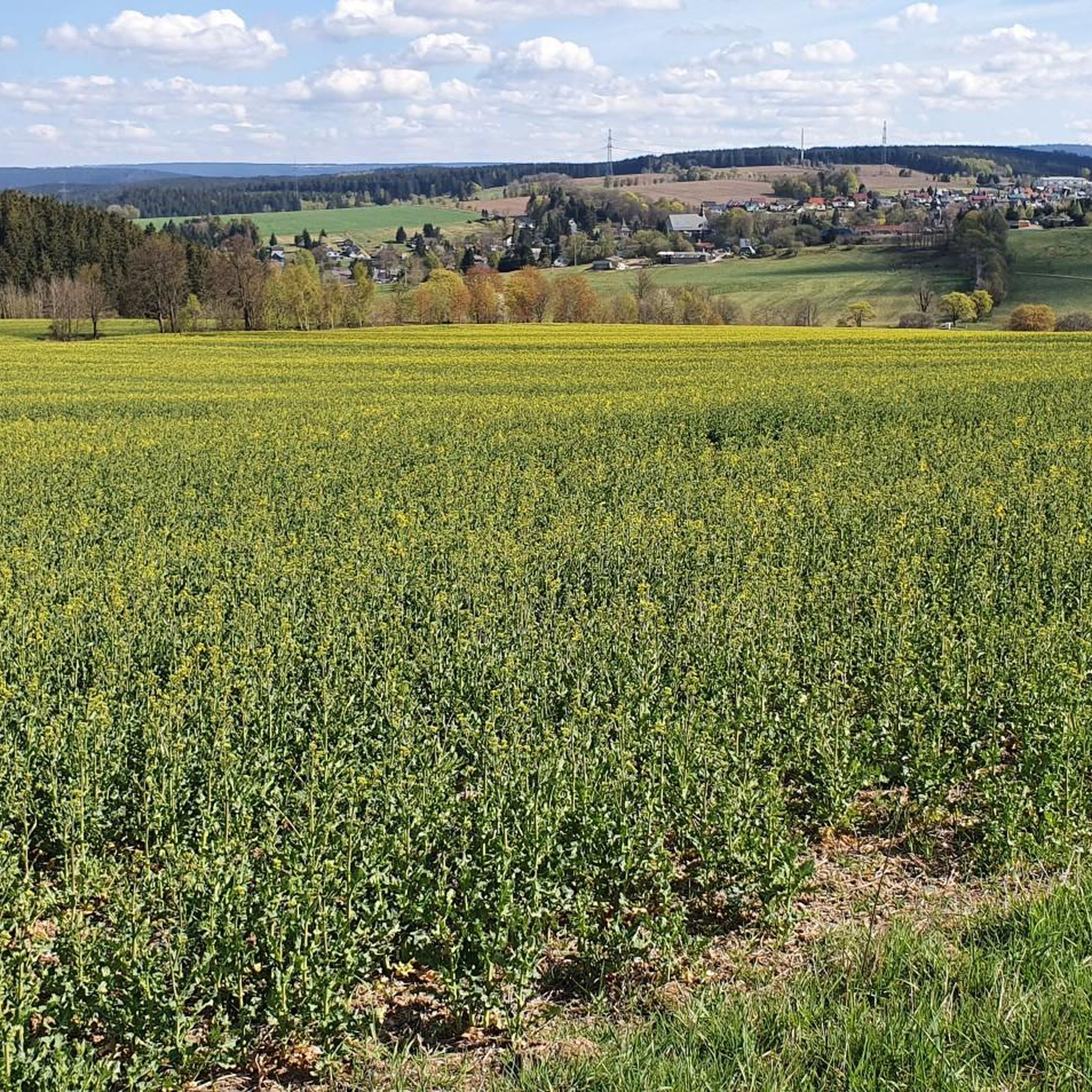
Best mountain peaks around Gillersdorf are found within the Thuringian Forest, a low mountain range in Germany. Gillersdorf, situated at an elevation between 655m and 685m, serves as a starting point for exploring various elevated points and viewpoints. These natural features offer panoramic views and opportunities to experience the region's landscape. The area is characterized by its lush landscapes and hiking opportunities.
Best mountain peaks around Gillersdorf
- The most popular mountain peaks is Prince Karl-Günther Monument on Langer Berg,…
Last updated: October 10, 2026
Meuselbacher Kuppe Observation Tower and Guesthouse
Highlight • Viewpoint
Translated by Google •
Tip by

Prince Karl-Günther Monument on Langer Berg
Highlight • Monument
On top of the mountain stands the Prince Günther Monument. It was erected in honor of
Karl Günther of Schwarzburg-Sondershausen.
Translated by Google •
Tip by

Sign up now to discover places like this
Get recommendations on the best single tracks, peaks, & plenty of other exciting outdoor places.
Ersteberg Shelter
Highlight • Mountain Hut
Showing Translation
Tip by

Bobhütte Mountain Inn on Lindenberg
Highlight • Mountain Hut
Translated by Google •
Tip by

Vordere Haube Observation Tower
Highlight • Viewpoint
Translated by Google •
Tip by

Sign up for free to discover even more peaks around Gillersdorf.
Already have an account?
Start today with a free account
Your next adventure awaits.
Tips from the Community

September 25... Unfortunately still closed.
0
0

It's not to be missed. Enjoy the fantastic view and sign the summit book.
1
0

A great vantage point. It's a steep 200m climb from the trail below, but it's worth it. You shouldn't be afraid of heights, though; the stairs to the summit cross have 25 open steps, but the view from up there is fantastic. And there are interpretive panels in all directions. You can rest in the mountain hut.
1
0

The Lange Berg is an 808 meter high mountain ridge in the northern Thuringian Forest. On top of the mountain stands the Prince Günther Monument. It was erected in honor of Karl Günther of Schwarzburg-Sondershausen.
15
0

Very nice shelter, benches and observation tower with a wonderful panoramic view.
1
0

On the 825 m high Ersteberg is one of the many beautiful refuges on the Rennsteig.
4
0

Open it would have been even nicer, start of the IXS descent
0
0

From Masserberg we go to Ersteberg. At 825 meters above sea level. NN he is not yet a giant even for the Thuringian Forest. Its dome is quite flat. Without the refuge at the summit, you could easily hike over it without noticing, for example on a hike from Masserberg to Langertfelsen. The extensive clearing results in beautiful panoramic views from up here. Almost everything has something good about it.
2
0
Frequently Asked Questions
What are some of the most notable mountain peaks and viewpoints near Gillersdorf?
Beyond the popular spots mentioned in the guide, you can explore the Meuselbacher Kuppe Observation Tower and Guesthouse, which offers expansive views and a restaurant. Another significant landmark is the Fröbel Observation Tower above Oberweißbach, known for its panoramic vistas and historical importance. The Langer Berg, on whose slopes Gillersdorf lies, also features scenic trails like the "Lange-Berg-Runde Gillersdorf".
Are there family-friendly hiking options around Gillersdorf's mountain peaks?
Yes, the area offers several family-friendly options. The circular hiking trail around the Langer Berg, known as the "Lange-Berg-Runde Gillersdorf," is classified as easy to moderate and is suitable for families due to its well-maintained paths and features like XXL picture frames and a "giant's bench." Additionally, the Bobhütte Mountain Inn on Lindenberg is categorized as family-friendly.
What kind of views can I expect from the mountain peaks near Gillersdorf?
From various elevated points, you can expect magnificent panoramic views of the Thuringian Forest and surrounding communities. For instance, the Meuselbacher Kuppe Observation Tower provides views extending up to 60 km on clear days. The Fröbel Observation Tower offers extensive views across Thuringia, including parts of the Rennsteig Trail and the Thuringian Basin. The Vordere Haube Observation Tower also provides a wonderful panoramic view of the Thuringian Forest.
Are there historical landmarks or monuments on the mountain peaks around Gillersdorf?
Yes, the region features historical landmarks. The Prince Karl-Günther Monument on Langer Berg is a man-made monument erected in honor of Karl Günther of Schwarzburg-Sondershausen. The Fröbel Observation Tower, situated above Oberweißbach, was erected in 1890 as a memorial to educationalist Friedrich Fröbel.
What outdoor activities can I do near the mountain peaks around Gillersdorf?
The area around Gillersdorf is excellent for various outdoor activities. You can find numerous hiking trails, including easy options like those listed in the Easy hikes around Gillersdorf guide. For cyclists, there are Road Cycling Routes around Gillersdorf, and runners can explore Running Trails around Gillersdorf.
Where can I find places to eat or rest near the mountain peaks?
Several mountain peaks and viewpoints offer dining and resting facilities. The Meuselbacher Kuppe Observation Tower and Guesthouse has a rustic tower restaurant. The Fröbel Observation Tower also features a restaurant. For a cozy break, the Bobhütte Mountain Inn on Lindenberg is a popular spot with great food and views. The Prince Karl-Günther Monument on Langer Berg also includes a weather-protected rest area.
What is the best time to visit the mountain peaks around Gillersdorf?
The Thuringian Forest is suitable for visiting year-round. Hiking is popular throughout the year, and in winter, areas like the Meuselbacher Kuppe are utilized for cross-country skiing. Clear days will offer the best panoramic views from the observation towers.
What is the general elevation of Gillersdorf and its surrounding area?
Gillersdorf itself is situated at an elevation ranging from 655m to 685m. It lies on the southeastern slope of the Langer Berg, which is an 808-meter-high mountain ridge in the northern Thuringian Forest.
Are there any easy hiking trails suitable for beginners near Gillersdorf?
Yes, there are several easy hiking trails. For example, the "Bank of the Giants loop from Herschdorf" is an easy 5.5 km route. Other easy options include loops around the Gillersdorf Slate Quarries and the Prince Carl Günther Monument, as detailed in the Easy hikes around Gillersdorf guide.
What are some of the higher peaks in the broader Thuringian Forest region, beyond Gillersdorf's immediate vicinity?
While Gillersdorf offers excellent local peaks, the broader Thuringian Forest features higher peaks such as Großer Beerberg (984m) and Schneekopf (978m). These are also popular hiking destinations and offer even more extensive views.
What do visitors particularly enjoy about the mountain peaks and viewpoints near Gillersdorf?
Visitors frequently praise the magnificent panoramic views, especially from spots like the Meuselbacher Kuppe and the Vordere Haube Observation Tower. The presence of cozy restaurants and guesthouses, such as at the Meuselbacher Kuppe and the Bobhütte Mountain Inn, is also highly appreciated for providing a comfortable break with a view. The combination of natural beauty and accessible facilities makes for a rewarding experience.
Most popular routes around Gillersdorf
Most popular attractions around Gillersdorf

Get inspired with the komoot mobile app


Explore more
See even more amazing summits around Gillersdorf with these guides:
