The best running trails in Pagramančio Regioninis Parkas
28
runners
2
runs
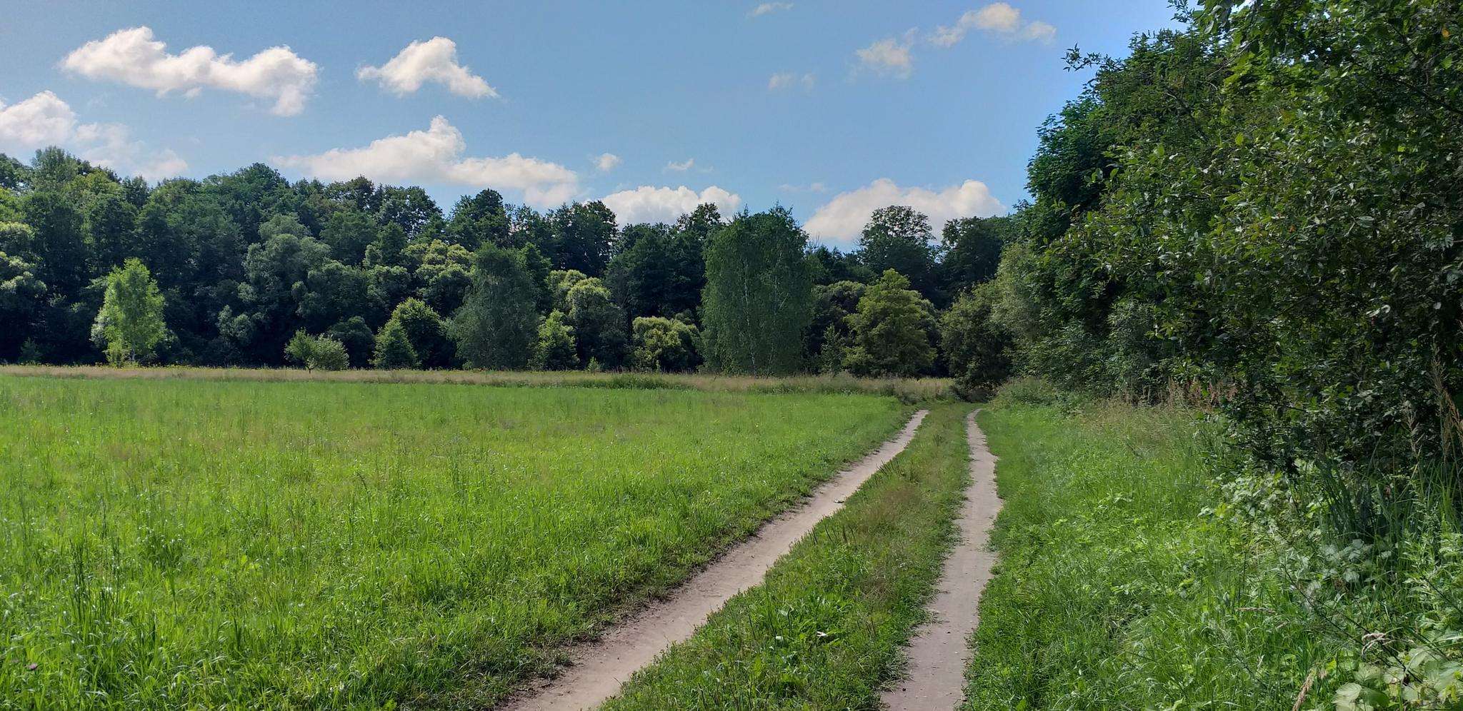
Jogging routes in Pagramančio Regioninis Parkas traverse a diverse landscape characterized by the valleys of the Akmena and Jūra rivers, featuring both steep and gentle slopes. The park encompasses extensive forests, including mature spruce, black alder, and oak groves, contributing to a rich natural environment. A significant natural feature is the Plynosios high bog, offering unique terrain for runners. The varied topography, with its deep valleys and riparian forests, provides a dynamic experience for outdoor activities.
Best jogging routes in…
Last updated: July 12, 2026
4
runners
10.4km
01:05
40m
40m
Moderate run. Good fitness required. Mostly paved surfaces. Suitable for all skill levels.
19
runners
9.49km
01:00
40m
40m
Moderate run. Good fitness required. Mostly paved surfaces. Suitable for all skill levels.

Sign up for free
5
runners
8.75km
00:59
50m
50m
Moderate run. Good fitness required. Mostly paved surfaces. Suitable for all skill levels.
Our route recommendations are based on thousands of hikes, rides, and runs completed by other people on komoot.
Start today with a free account
Your next adventure awaits.
Login or Signup
Popular around Pagramančio Regioninis Parkas
Frequently Asked Questions
What kind of terrain can I expect on jogging routes in Pagramančio Regioninis Parkas?
Jogging routes in Pagramančio Regioninis Parkas feature a diverse landscape, primarily characterized by the striking valleys of the Akmena and Jūra rivers. You'll encounter both steep and gentle slopes, extensive forests including mature spruce and oak groves, and unique natural features like the Plynosios high bog. This varied topography provides a dynamic and engaging experience for runners.
Are there any easy running routes suitable for beginners in Pagramančio Regioninis Parkas?
While the routes detailed in this guide are generally considered moderate, the park's network offers options for different ability levels. The varied terrain, from river valleys to forested areas, means you can find paths that suit your comfort level. For example, the Running loop from Tauragė is a moderate 6.4-mile (10.4 km) trail with relatively gentle elevation changes, making it accessible for many runners.
What natural landmarks or viewpoints can I see while running in the park?
Pagramančio Regioninis Parkas is rich in natural beauty. You can expect to see the picturesque valleys of the Akmena and Jūra rivers, ancient forests, and unique bogs. Notable natural features include impressive 'giant' oaks, such as the Andriejaičiai and Tamošaičiai oaks, and geological attractions like the 'Milžinas' (Giant) stone. There's also a newly installed observation tower at the confluence of the Akmena and Jūra rivers, offering panoramic views, and another viewing platform atop the Pagramantis escarpment.
Are there any circular running routes in Pagramančio Regioninis Parkas?
Yes, several running routes in the park are designed as loops, allowing you to start and finish at the same point. For instance, the Running loop from Pajūris is a 5.4-mile (8.7 km) trail that takes you through deep valleys and riparian forests, offering a complete circular experience.
Can I bring my dog on the running trails in Pagramančio Regioninis Parkas?
Pagramančio Regioninis Parkas is generally welcoming to visitors with dogs. When running with your dog, it's always recommended to keep them on a leash, especially in areas with wildlife or near other visitors, and to clean up after them. The park's diverse trails, including forested paths and open areas, provide a great environment for you and your canine companion to enjoy together.
What are the best seasons for running in Pagramančio Regioninis Parkas?
The park offers a beautiful setting for running throughout much of the year. Spring brings lush greenery and blooming flora, while autumn showcases vibrant fall colors in the extensive forests. Summer is ideal for enjoying the river valleys, though it can be warmer. Even winter running can be picturesque, with snow-covered landscapes, but be mindful of trail conditions. Each season offers a unique experience of the park's natural beauty.
Are there educational trails that are also suitable for running?
Yes, Pagramančio Regioninis Parkas features several educational trails that can also be enjoyed for running. These trails, such as the Akmena educational trail, the Plynosios educational trail, and the Lylava hydrographic educational trail, are designed to introduce visitors to the park's natural and cultural values. They often provide well-maintained paths that are suitable for jogging while immersing you in the natural surroundings.
Where can I find parking for the running routes in Pagramančio Regioninis Parkas?
While specific parking locations for every trailhead are not detailed here, Pagramančio Regioninis Parkas is designed for accessibility. You can typically find designated parking areas near popular trailheads and visitor points within the park. For routes like the Šilalės miesto tv. – Šilalės pušynas loop from Šilalė, starting points in or near towns often have available parking.
Are there any historical or cultural sites along the running paths?
Absolutely. Pagramančio Regioninis Parkas is rich in cultural heritage. As you run, you might encounter numerous hillforts (piliakalniai) like those at Biržų laukas, Dapkiškiai, and Pagramantis, which served as defensive structures. The 18th-century Pagramantis church is another architectural gem, and various ancient settlements and cemeteries are also scattered throughout the landscape, offering glimpses into the region's past.
What is the longest running route highlighted in this guide?
The longest running route highlighted in this guide is the Running loop from Tauragė. This trail spans 6.4 miles (10.4 km) and typically takes about 1 hour and 4 minutes to complete, offering varied terrain through the park's picturesque river valleys and forested areas.
Are there any cafes or restaurants near the park entrances for after my run?
While specific establishments are not listed in the route data, the Pagramančio Regioninis Parkas encompasses the village of Pagramantis and is located near towns like Tauragė and Šilalė. These areas typically offer local cafes, pubs, and restaurants where you can refuel and relax after your run.
What makes the Plynosios high bog a unique feature for runners?
The Plynosios high bog (Plynosios pelkė) is a significant natural feature within the Tyreliai forest, covering approximately 360 hectares. It offers a unique and distinct terrain for runners, different from the river valleys and forests. This bog is a sanctuary for rare plant species, providing a chance to experience a unique ecosystem while running, often via dedicated educational trails that ensure accessibility.
Most popular routes in Pagramančio Regioninis Parkas

Get inspired with the komoot mobile app


Explore more
Browse the best Running Trails & Routes in other regions.
