The best walks and hikes in Labüskewiesen
4.5
(1481)
5,495
hikers
297
hikes
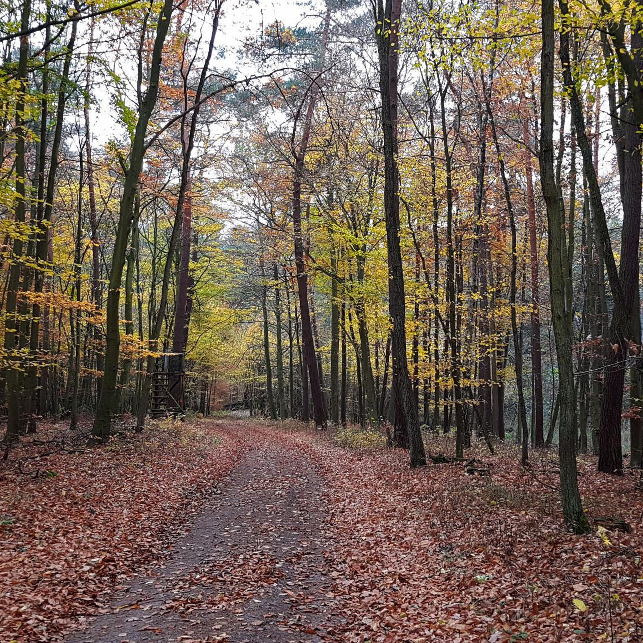
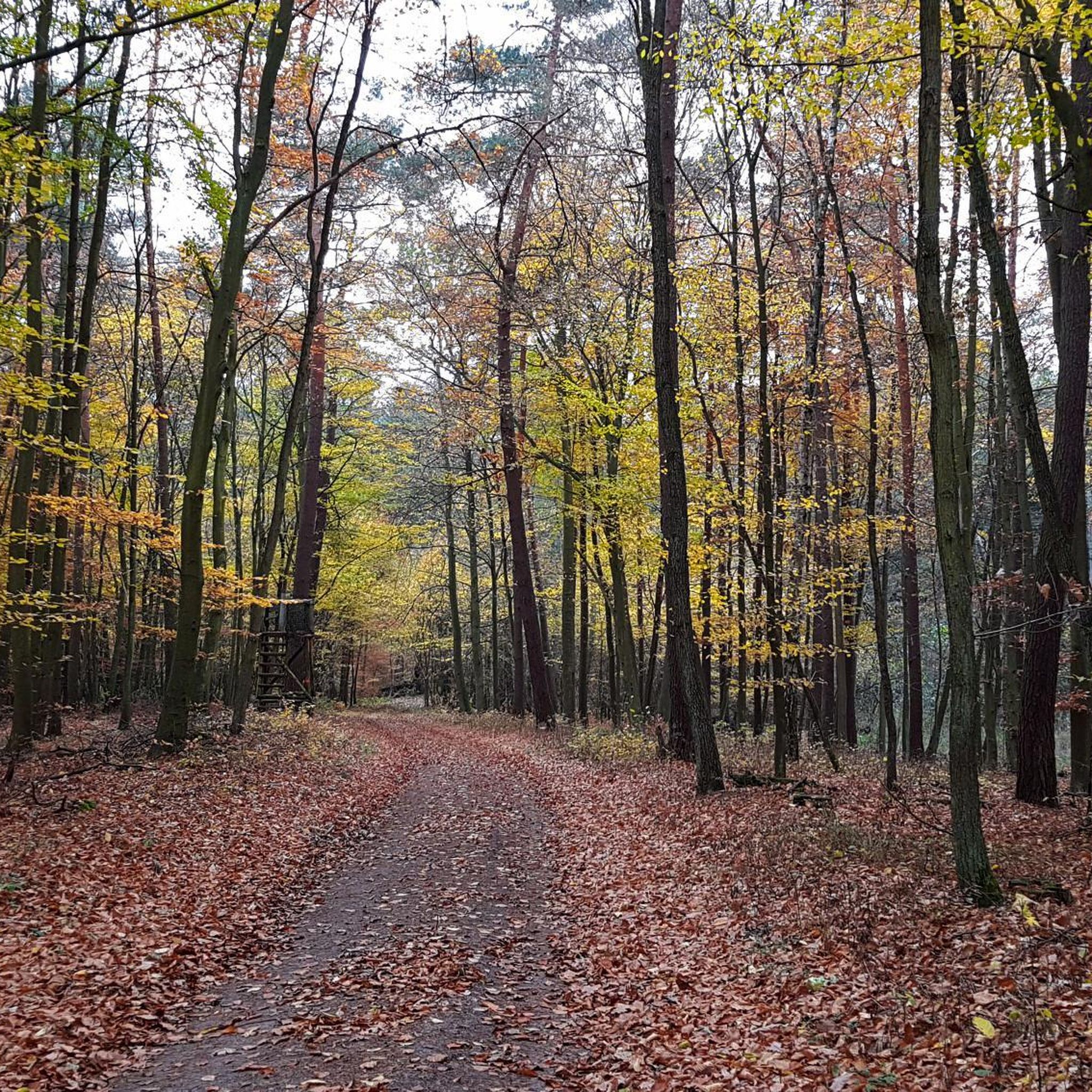
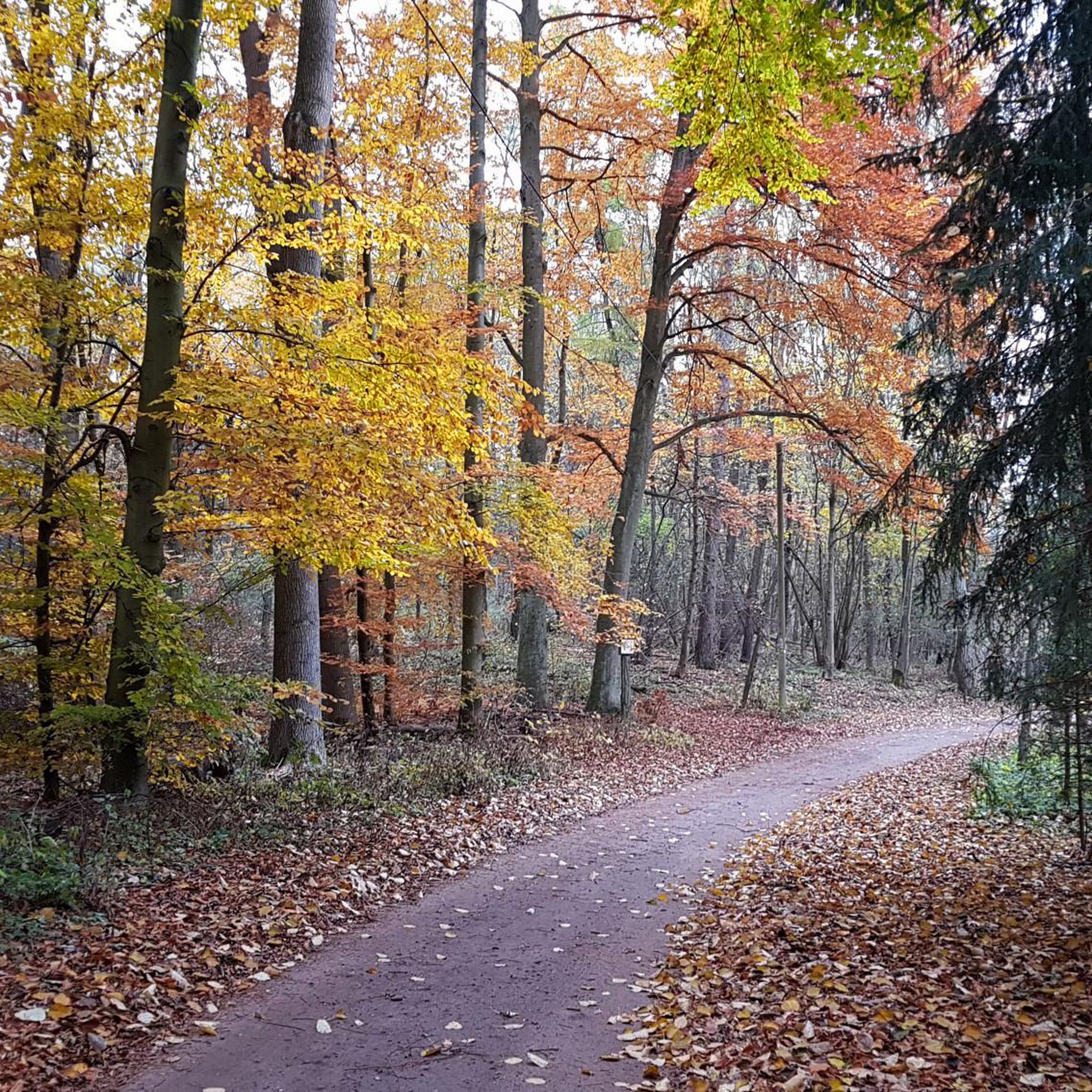
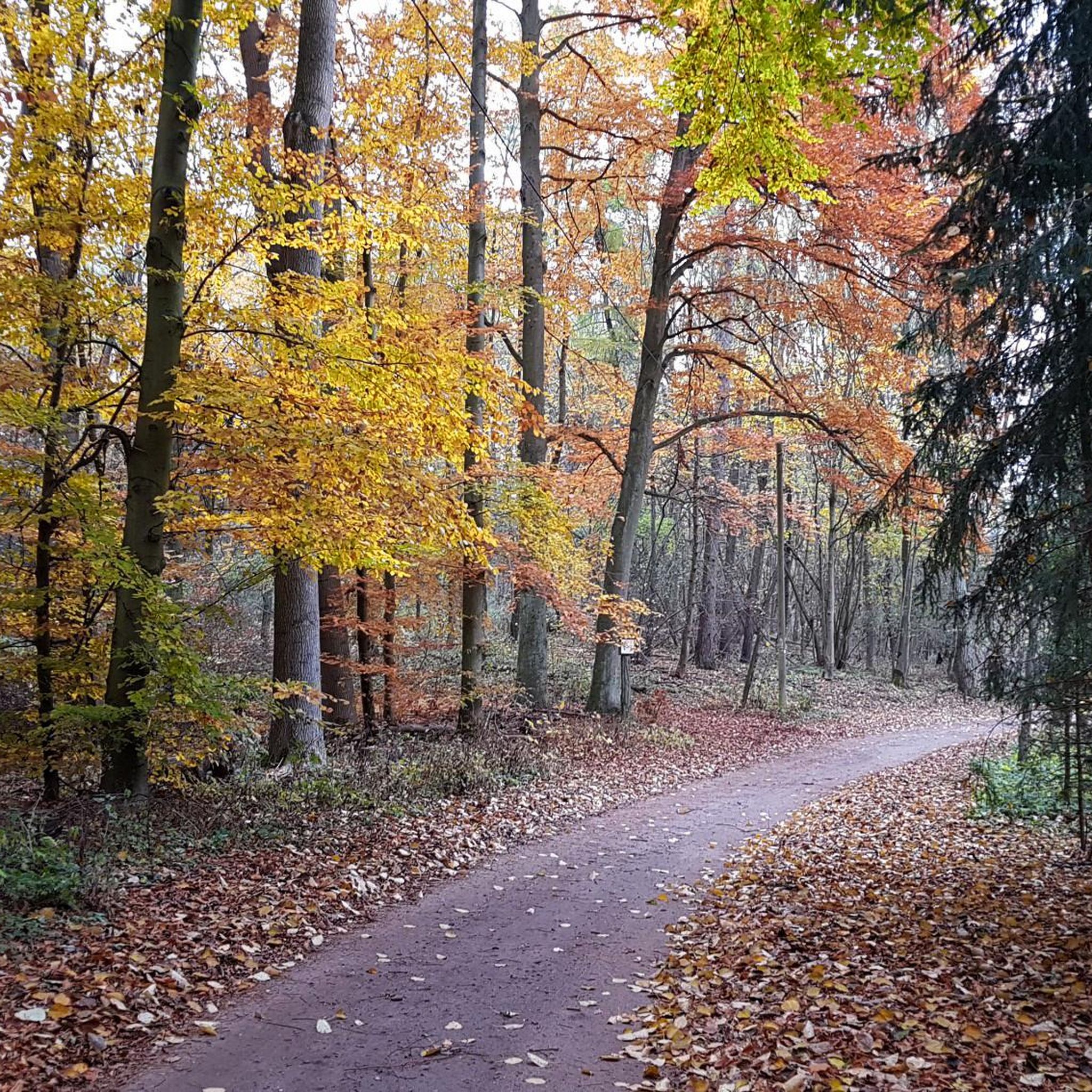
Hiking in Labüskewiesen offers trails through the Mecklenburg Lake District, characterized by a network of interconnected lakes, dense forests, and open meadows. The landscape features the Labussee and other water bodies, bordered by woodlands like the Canower Heide forest. This region provides varied ecosystems for exploration, with routes traversing both shaded woods and expansive fields.
Best hiking trails in Labüskewiesen
- The most popular hiking route is Schäferwiese Wet Meadow – Fährsee loop from Milmersdorf, a 10.9 miles (17.5 km)…
Last updated: June 28, 2026
3.3
(3)
13
hikers
17.5km
04:30
80m
80m
Moderate hike. Good fitness required. Easily-accessible paths. Suitable for all skill levels.
4.8
(11)
14
hikers
Easy hike. Great for any fitness level. Easily-accessible paths. Suitable for all skill levels.

Sign up for free
4.8
(13)
13
hikers
Moderate hike. Good fitness required. Easily-accessible paths. Suitable for all skill levels.
5.0
(1)
4
hikers
2.89km
00:44
10m
10m
Easy hike. Great for any fitness level. Easily-accessible paths. Suitable for all skill levels.
3
hikers
Easy hike. Great for any fitness level. Easily-accessible paths. Suitable for all skill levels.
Get access to more routes and recommendations from other explorers.
Sign up for free
Already have an account?
Our route recommendations are based on thousands of hikes, rides, and runs completed by other people on komoot.
Start today with a free account
Your next adventure awaits.
Login or Signup
Tips from the Community

Beautiful, quiet bathing area with seating and parking
0
0

Even in the summer heat, you can hope to be completely alone here. The view is fantastic. Swimming is very possible, but the water is quite steep. There's a bench at a slightly elevated position.
0
0


The circular path around the Templiner Stadtsee always offers beautiful views.
1
0

Extremely dense water plants. They scratch quite a bit and it's impossible to get through. Unfortunately, swimming is not possible at this bathing area and is even dangerous if you lose your buoyancy in the carpet of plants. 🤷♂️
0
0

Nice swim and coffee stop. View of the water from the hotel's restaurant. Or go straight down to the lake and sit on the jetty
1
0

Privately owned and not open to the public.
0
0
Frequently Asked Questions
How many hiking trails are available in Labüskewiesen?
Labüskewiesen offers a wide variety of hiking experiences, with nearly 300 routes available. These trails cater to different skill levels, including over 160 easy routes, more than 110 moderate paths, and a selection of challenging trails for experienced hikers.
What kind of terrain can I expect on hikes in Labüskewiesen?
The terrain in Labüskewiesen is diverse, characterized by a network of interconnected lakes, dense forests, and open meadows. You'll find paths winding through woodlands like the Canower Heide forest, along the shores of various lakes, and across expansive fields, offering varied scenery and ecosystems to explore.
Are there any family-friendly hiking options in Labüskewiesen?
Yes, Labüskewiesen has many easy trails suitable for families. An excellent option is the Milmersdorf Mill loop from Milmersdorf, a short 1.7-mile (2.8 km) path that takes you through local woodlands and past the historic Milmersdorf Mill, perfect for a leisurely family outing.
Can I bring my dog on the hiking trails in Labüskewiesen?
Many trails in Labüskewiesen are dog-friendly, allowing you to explore the natural beauty with your canine companion. It's always recommended to keep dogs on a leash, especially in nature protection areas or when encountering wildlife, and to check specific trail regulations beforehand.
Are there circular hiking routes in Labüskewiesen?
Yes, Labüskewiesen features numerous circular hiking routes that allow you to start and end at the same point. For example, the Southeast Shore of Petznicksee – Swimming spot at Petznicksee loop from Petznick is an easy 4.6-mile (7.4 km) loop offering scenic views along the Petznicksee shoreline.
What natural features or landmarks can I see while hiking?
While hiking in Labüskewiesen, you'll encounter a rich natural landscape dominated by the Labussee and other interconnected lakes, part of the Müritz-Havel-Wasserstraße. Trails often lead through the Canower Heide forest and open meadows. The clear waters are known to attract abundant birdlife, making it an excellent spot for nature observation.
Is Labüskewiesen a good place for birdwatching?
Absolutely. The clear waters and natural surroundings of the Labussee region, with its extensive lake system and dense forests, create an ideal habitat for various bird species. Hikers often spot herons and kingfishers, making it a rewarding destination for birdwatching enthusiasts.
What is the best time of year to go hiking in Labüskewiesen?
The Labüskewiesen region is beautiful year-round, but spring and autumn offer particularly pleasant hiking conditions with mild temperatures and vibrant natural colors. Summer is also popular, especially for combining hikes with water activities on the lakes, while winter can provide tranquil, snow-covered landscapes for those seeking a quieter experience.
How can I get to the hiking trails in Labüskewiesen by public transport?
While specific public transport options can vary, the Labüskewiesen region is part of the Mecklenburg Lake District, which has some regional bus and train connections. It's advisable to check local public transport schedules for routes connecting to towns near the trailheads, such as Milmersdorf or Petznick, before planning your trip.
Where can I park my car when visiting the trails?
Parking availability varies by trailhead. Many popular starting points for hikes, especially in towns like Milmersdorf or Petznick, offer designated parking areas. It's recommended to research specific parking options for your chosen route in advance to ensure a smooth start to your hike.
What do other hikers say about the trails in Labüskewiesen?
The hiking trails in Labüskewiesen are highly rated by the komoot community, with an average score of 4.5 stars from over 1400 reviews. Hikers frequently praise the region's diverse landscapes, including the tranquil lakes, dense forests, and open meadows, as well as the well-maintained paths that offer a peaceful outdoor experience.
Are there any easy hikes suitable for beginners?
Yes, Labüskewiesen offers many easy hikes perfect for beginners or those looking for a relaxed stroll. An example is the Kölpinsee bathing spot – Milmersdorf Village Church loop from Milmersdorf, an easy 3.3-mile (5.2 km) route that takes you past the Kölpinsee bathing spot and the charming Milmersdorf Village Church.
Are there any specific lakes or water bodies I can explore on foot?
The region is defined by its interconnected lakes. You can explore the shores of the Labussee, Vilzsee, Gobenowsee, Rätzsee, and Petznicksee on foot. Many trails offer stunning views of these water bodies, which are part of the larger Müritz-Havel-Wasserstraße system.
Are there any historical sites or points of interest along the trails?
Beyond natural beauty, the Mecklenburgische Seenplatte region, where Labüskewiesen is located, has historical significance. Some trails may lead past remnants of old settlements or ancient stone markers, offering glimpses into the area's past. The Milmersdorf Mill loop from Milmersdorf, for instance, takes you past a local historical mill.
Most popular routes in Labüskewiesen

Get inspired with the komoot mobile app


Explore more
Browse the best Hikes in other regions.
