Gipskarstlandschaft Bad Sachsa Und Walkenried
Gipskarstlandschaft Bad Sachsa Und Walkenried
The best MTB trails in Gipskarstlandschaft Bad Sachsa Und Walkenried
4.5
(1967)
5,247
riders
358
rides
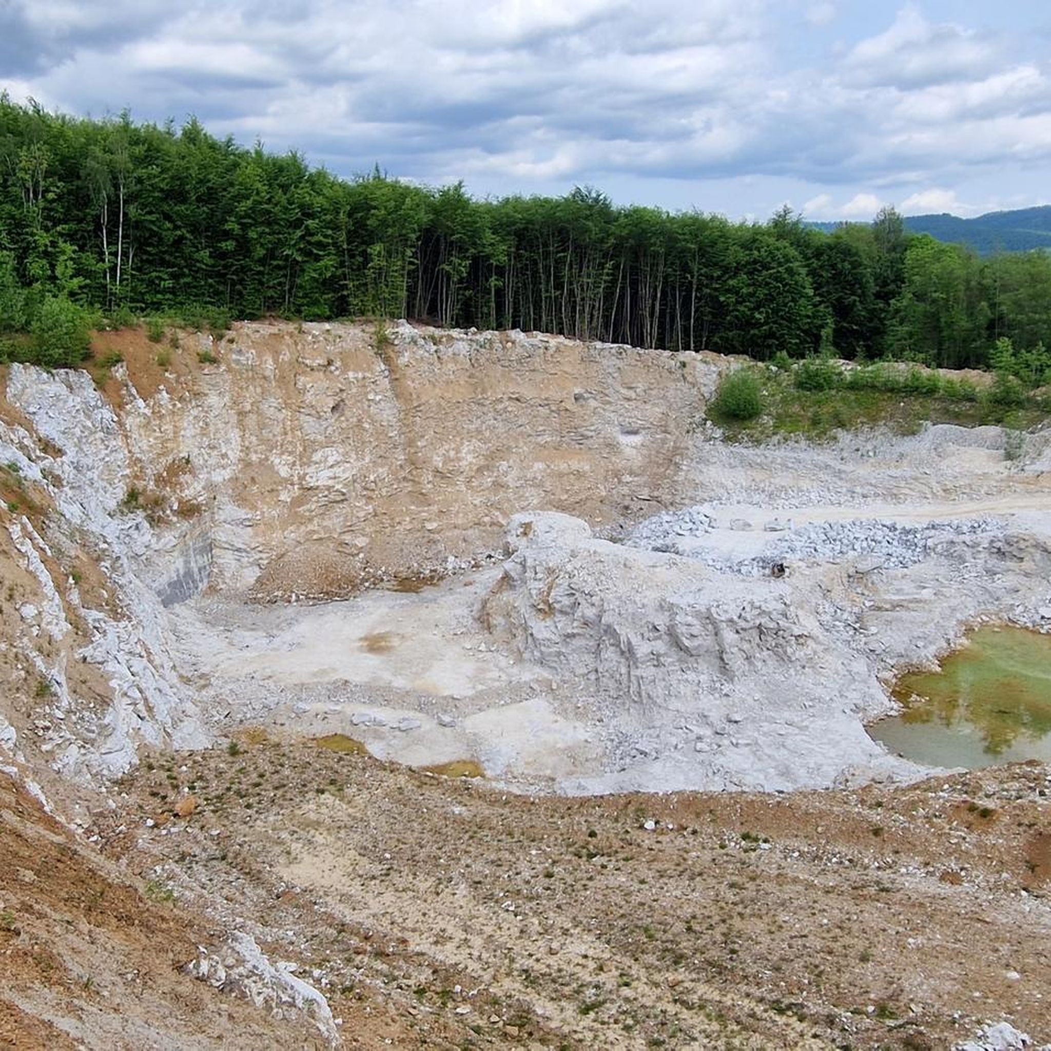
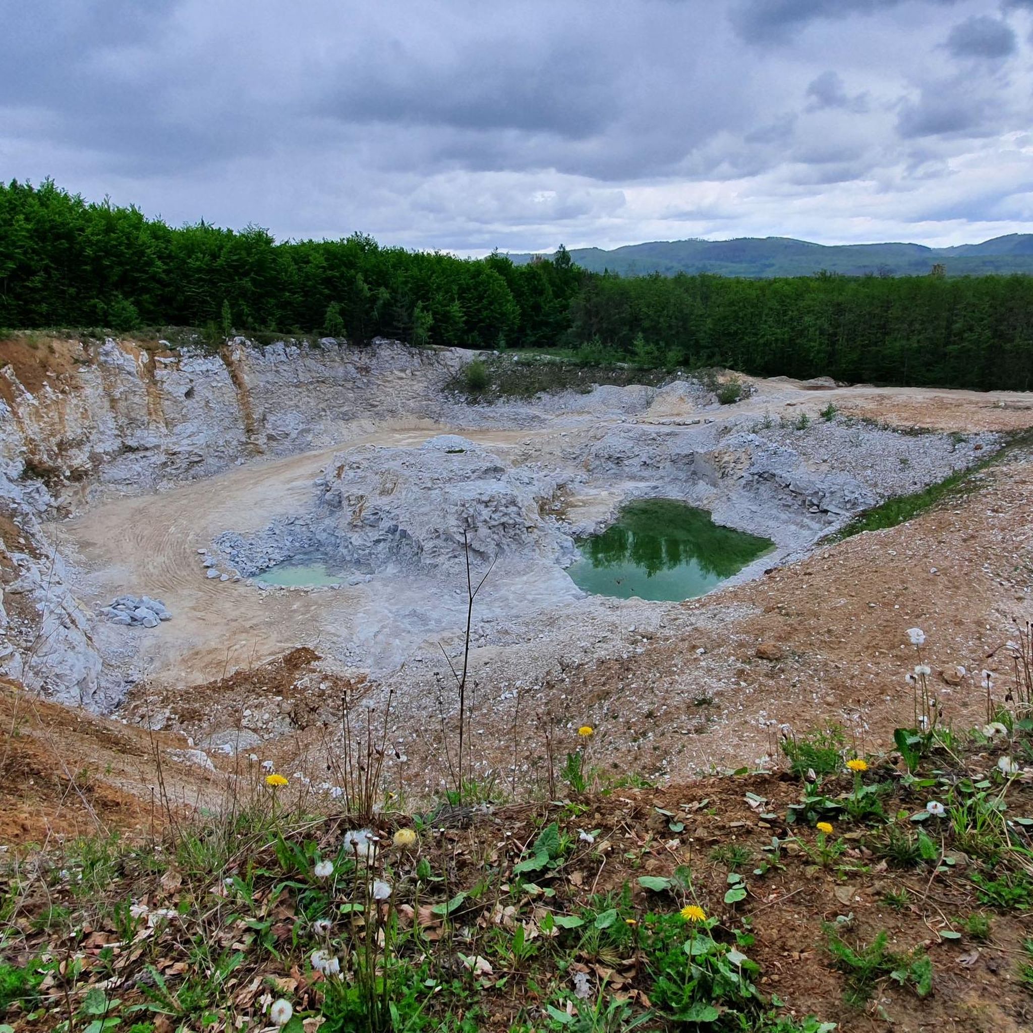
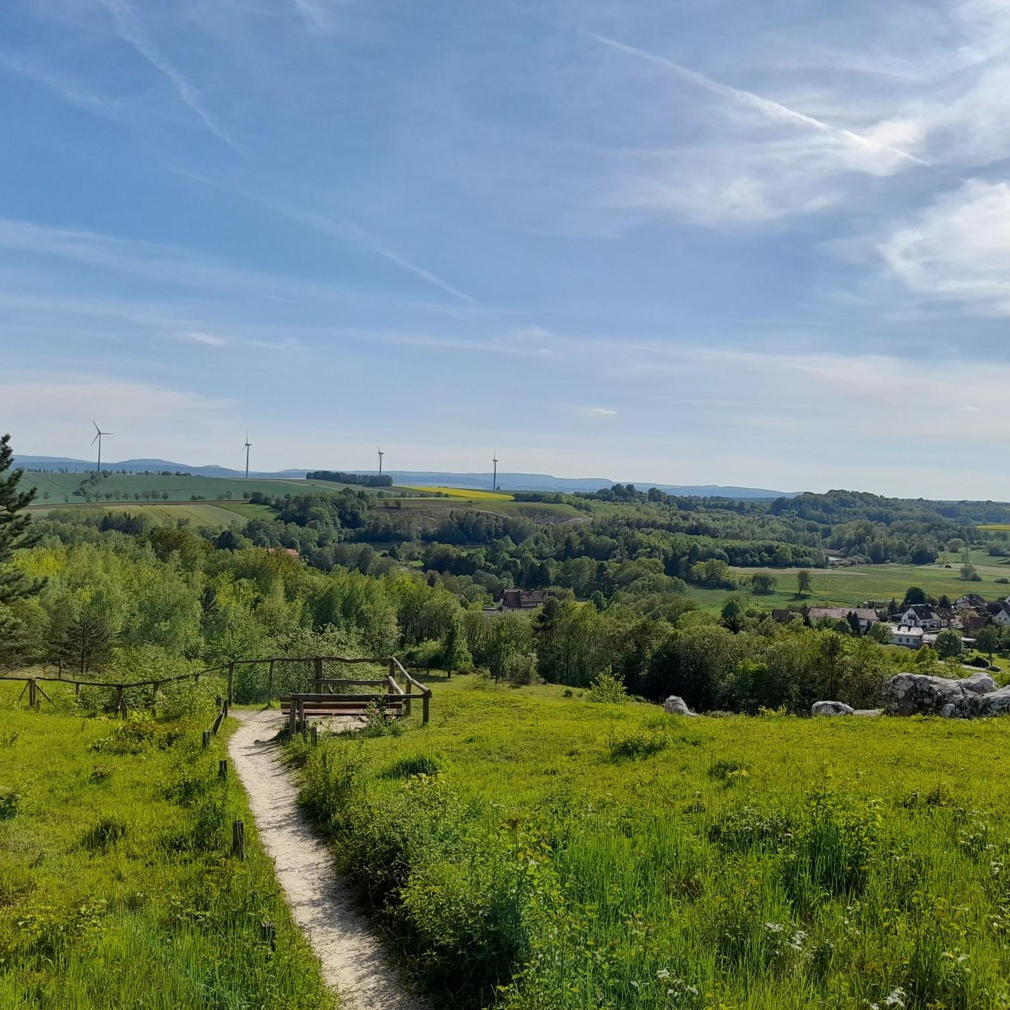
Mountain biking in Gipskarstlandschaft Bad Sachsa Und Walkenried offers diverse terrain within the southern Harz region. The landscape is characterized by unique gypsum karst formations, including sinkholes and varied elevations, ranging from Harz foothills to lower mountains. Extensive beech and ravine forests provide a lush backdrop, while natural rivers like the Wieda and numerous ponds, such as the Kranichteiche, add to the natural features. This geological distinctiveness creates a varied environment for mountain biking.
Best mountain bike trails in Gipskarstlandschaft…
Last updated: September 30, 2026
4.4
(12)
51
riders
39.0km
03:14
650m
650m
This moderate 24.2-mile mountain bike route through the Southern Harz Nature Park offers challenging terrain and scenic views.
4.6
(147)
308
riders
39.1km
03:10
750m
750m
Moderate mountain bike ride. Good fitness required. Suitable for all skill levels.

4.7
(25)
77
riders
54.6km
04:10
770m
770m
Moderate mountain bike ride. Good fitness required. Advanced riding skills necessary.
4.7
(7)
34
riders
57.9km
04:53
1,160m
1,160m
Hard mountain bike ride. Very good fitness required. Advanced riding skills necessary.
4.4
(9)
30
riders
36.9km
03:09
830m
830m
Hard mountain bike ride. Good fitness required. Advanced riding skills necessary. Some portions of the route may require you to push your bike.
Get access to more routes and recommendations from other explorers.
Already have an account?
Our route recommendations are based on thousands of hikes, rides, and runs completed by other people on komoot.
Start today with a free account
Your next adventure awaits.
Popular around Gipskarstlandschaft Bad Sachsa Und Walkenried
Hiking in Gipskarstlandschaft Bad Sachsa Und Walkenried
Cycling in Gipskarstlandschaft Bad Sachsa Und Walkenried
Road Cycling Routes in Gipskarstlandschaft Bad Sachsa Und Walkenried
Running Trails in Gipskarstlandschaft Bad Sachsa Und Walkenried

Gravel biking in Gipskarstlandschaft Bad Sachsa Und Walkenried

Mountain Hikes in Gipskarstlandschaft Bad Sachsa Und Walkenried
Tips from the Community

Well-laid route of gravel roads and gravel. Excellent for cycling and beautifully quiet.
1
0

The Neuer Teich lies quietly hidden in the forest, about two kilometers north of Zorge. The pond was built around 1780 to supply the power for the Zorger Hütte. Nowadays, it is mainly a beautiful and peaceful place to enjoy the water and the surrounding forests during a walk. From the dam, the water flows to the nearby Zorger Wasserfall.
0
0

Beautiful and quiet trail.
0
0
Beautiful view over an equally beautiful hidden stream valley. Nice surprise after a tough climb up by bike.
0
0

It's interesting that they decided to dismantle almost everything here. Even if it takes some time for nature to completely reclaim the area, it's certainly more beautiful than closed-off ruins.
3
0

Really beautiful piece of earth with sunshine and golden leaves on the trees.
3
0

Ravensberg <-> Stöberhai can be easily reached by e-bike once you are at the top ;-)
0
0

Well-maintained campsite at Wiesenbeker Teich.
0
0
Frequently Asked Questions
How many mountain bike trails are there in Gipskarstlandschaft Bad Sachsa Und Walkenried?
There are over 380 mountain bike trails available in the Gipskarstlandschaft Bad Sachsa Und Walkenried region. These routes cater to various skill levels, from easy to difficult.
What kind of terrain can I expect on the mountain bike trails?
The region is characterized by its unique gypsum karst topography, featuring dramatic gypsum formations, sinkholes, and underground streams. You'll encounter a mix of natural paths, forest roads, and dedicated bike routes, often through extensive beech and ravine forests. The varied elevations, from the Harz foothills to lower mountains, provide both challenging ascents and exciting descents.
Are there mountain bike trails suitable for beginners or families?
Yes, the Gipskarstlandschaft Bad Sachsa Und Walkenried offers over 100 easy mountain bike trails, making it suitable for beginners and families. These routes typically feature gentler inclines and less technical terrain, allowing for a more relaxed experience while still enjoying the scenic landscape.
What are some challenging mountain bike trails in the area?
For experienced riders seeking a challenge, there are 43 difficult mountain bike trails. An example is the View of the Oder Dam – Stöberhai Summit and Shelter loop from Bad Sachsa, which covers 57.4 km with over 1,000 meters of elevation gain. Another demanding option is the View over the Staufenberg Valley – Ruins of Walkenried Abbey loop from Bad Sachsa, a 37 km route with significant climbing.
What natural features and landmarks can I see along the mountain bike trails?
The trails often pass through diverse forests and past unique geological formations. You can encounter natural rivers like the Wieda, and numerous ponds such as the Kranichteiche. Notable landmarks include the Walkenried Abbey Ruins, the Sachsenstein Rock Formation, and the Lower Crane Pond Bad Sachsa. Many routes also offer panoramic views from elevated points like the Ravensberg.
What is the best time of year for mountain biking in Gipskarstlandschaft Bad Sachsa Und Walkenried?
The spring, summer, and early autumn months generally offer the best conditions for mountain biking. During these seasons, the weather is typically milder, and the trails are less likely to be affected by snow or heavy mud, allowing for optimal riding. The diverse forests are particularly beautiful in spring with fresh greenery and in autumn with vibrant colors.
Are there any mountain bike routes that offer great viewpoints?
Yes, many routes in the region provide excellent viewpoints. For instance, the Ravensberg Mountain Inn – Stöberhai Summit and Viewpoint loop from Bad Sachsa offers magnificent views from the Ravensberg, potentially reaching as far as the Brocken and the Kyffhäusergebirge. Other trails also climb to elevated sections, providing scenic vistas over the Harz foothills and the unique karst landscape.
What do other mountain bikers enjoy most about mountain biking in Gipskarstlandschaft Bad Sachsa Und Walkenried?
The area is highly rated by the komoot community, with an average score of 4.6 stars from over 1,600 reviews. Reviewers often praise the diverse terrain, the unique gypsum karst formations, and the extensive network of trails that cater to various skill levels. The scenic beauty of the forests and water bodies is also frequently highlighted.
Are there loop trails available for mountain biking?
Yes, many mountain bike routes in Gipskarstlandschaft Bad Sachsa Und Walkenried are designed as loops, allowing you to start and end at the same point. Examples include the Ravensberg Mountain Inn – Stöberhai Summit and Viewpoint loop from Bad Sachsa and the Rosenteiche – Stöberhai station loop from Bad Sachsa, providing convenient options for exploring the region.
Where can I find information about parking for mountain biking in the area?
Parking facilities are generally available in and around the main towns like Bad Sachsa and Walkenried, often near trailheads or public attractions. Specific parking details for individual routes can usually be found on the respective komoot tour pages or local tourism websites. For more general information on cycling in the region, you can visit walkenried-tourismus.de.
Can I bring my dog on the mountain bike trails?
While many trails in the region are generally dog-friendly, it's always advisable to check specific trail regulations or local signage, especially within nature reserves. Keep your dog on a leash, particularly in areas with wildlife or other trail users, and ensure you clean up after them to preserve the natural environment.
Are there places to eat or drink along the mountain bike routes?
Yes, you can find opportunities for refreshments along or near many mountain bike routes, especially closer to towns like Bad Sachsa and Walkenried. Some trails may pass by mountain inns or cafes, offering a chance to refuel. It's always a good idea to carry sufficient water and snacks, especially on longer or more remote rides.
Most popular routes in Gipskarstlandschaft Bad Sachsa Und Walkenried
Most popular attractions in Gipskarstlandschaft Bad Sachsa Und Walkenried

Get inspired with the komoot mobile app


Explore more
Browse the best MTB trails in other regions.
