The best walks and hikes in Schwarzwasserniederung
4.5
(1873)
8,021
hikers
726
hikes
Hiking in Schwarzwasserniederung offers a network of trails within a natural park setting in Peine. The region is characterized by its flat terrain, with minimal elevation changes, making it suitable for leisurely walks. Trails often lead through open landscapes, agricultural areas, and along local waterways. The area provides accessible outdoor experiences for those seeking gentle routes.
Best hiking trails in Schwarzwasserniederung
- The most popular hiking route is Lake view – Bench in the Forest loop from Edemissen, a 3.0…
Last updated: July 12, 2026
4.7
(7)
12
hikers
4.86km
01:13
10m
0m
Easy hike. Great for any fitness level. Easily-accessible paths. Suitable for all skill levels.
4.3
(4)
12
hikers
6.83km
01:44
20m
20m
Easy hike. Great for any fitness level. Easily-accessible paths. Suitable for all skill levels.

Sign up for free
5.0
(1)
14
hikers
4.83km
01:14
10m
10m
Easy hike. Great for any fitness level. Easily-accessible paths. Suitable for all skill levels.
5.0
(6)
17
hikers
Easy hike. Great for any fitness level. Easily-accessible paths. Suitable for all skill levels.
5.0
(1)
10
hikers
3.23km
00:49
10m
10m
Easy hike. Great for any fitness level. Easily-accessible paths. Suitable for all skill levels.
Get access to more routes and recommendations from other explorers.
Sign up for free
Already have an account?
Our route recommendations are based on thousands of hikes, rides, and runs completed by other people on komoot.
Start today with a free account
Your next adventure awaits.
Login or Signup

Tips from the Community

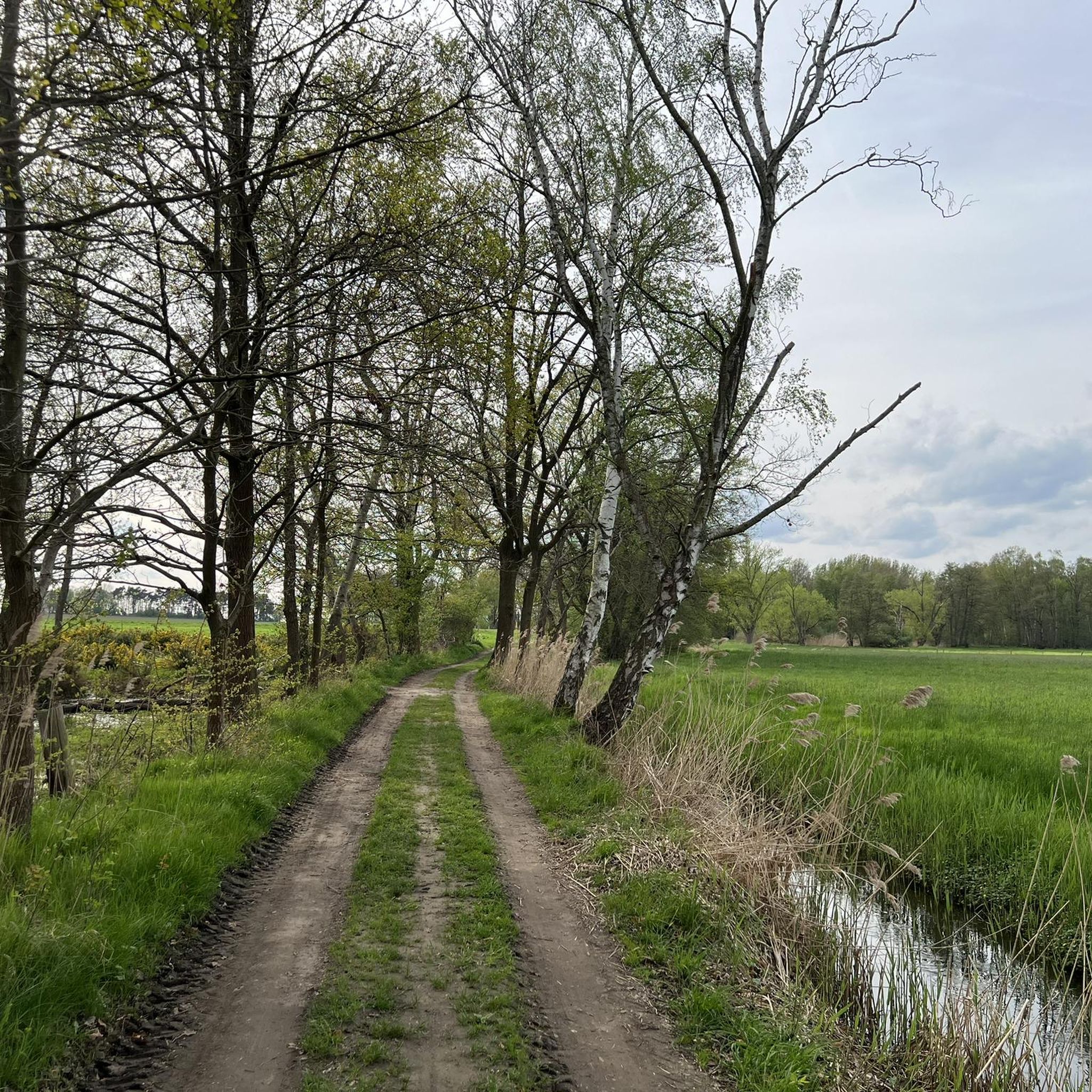
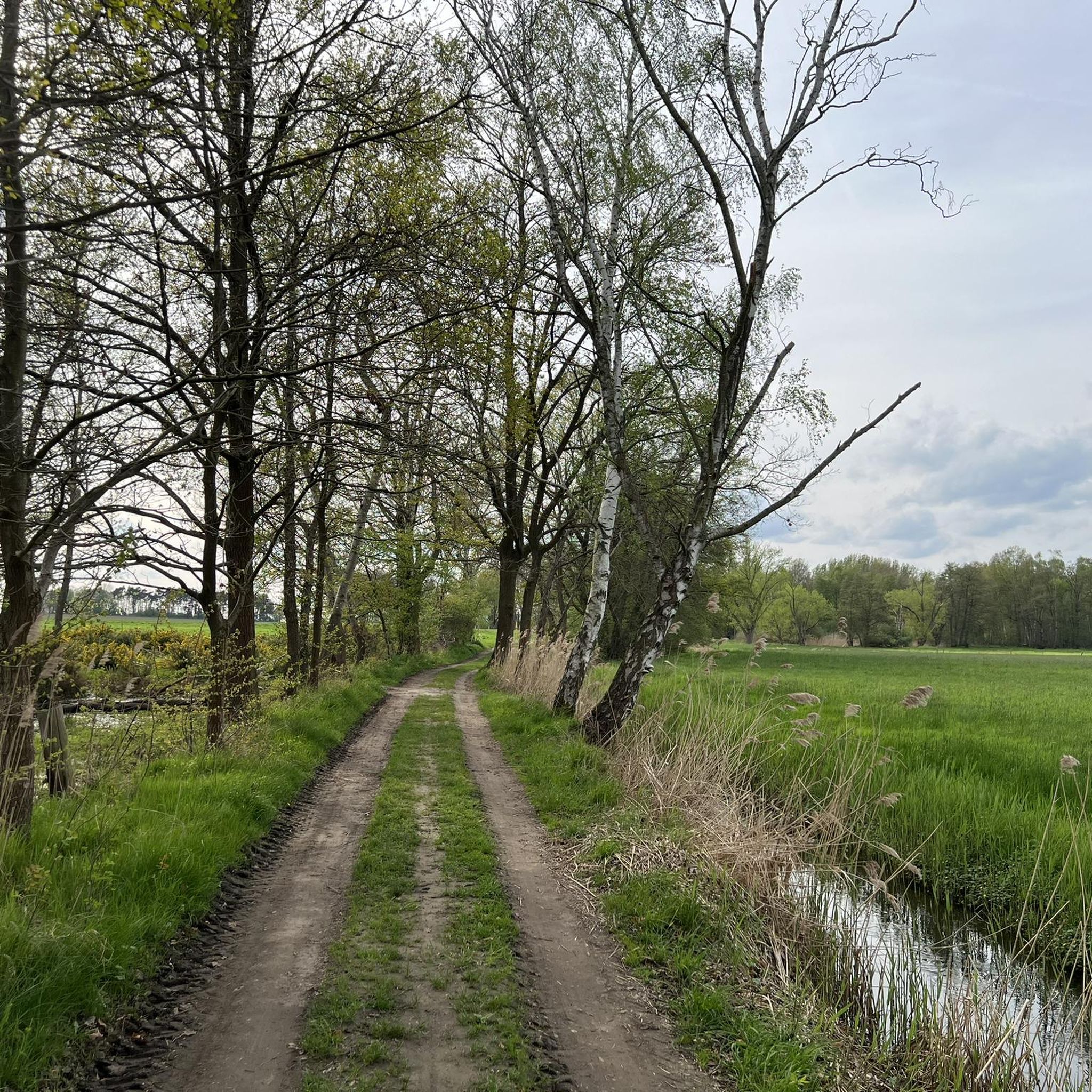
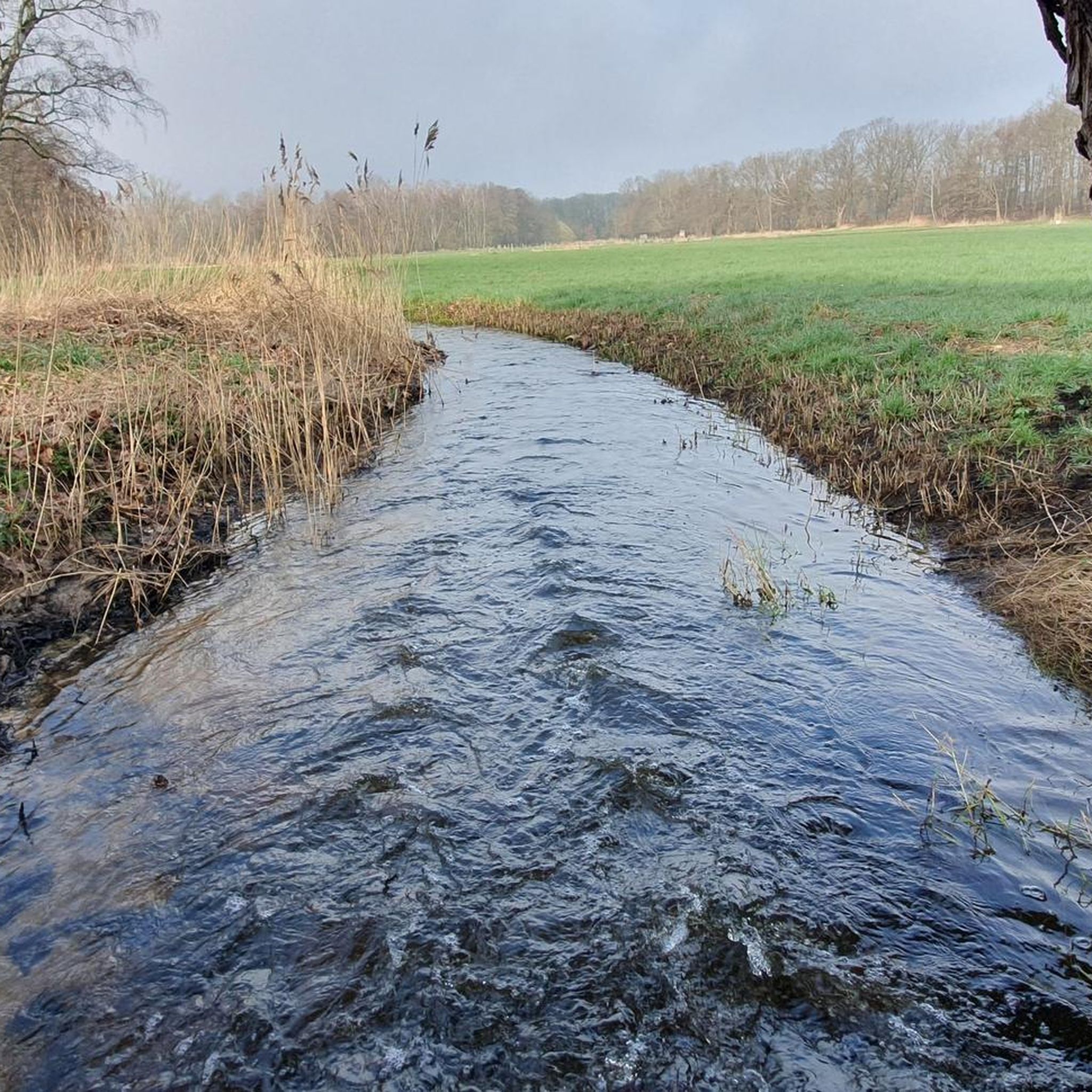
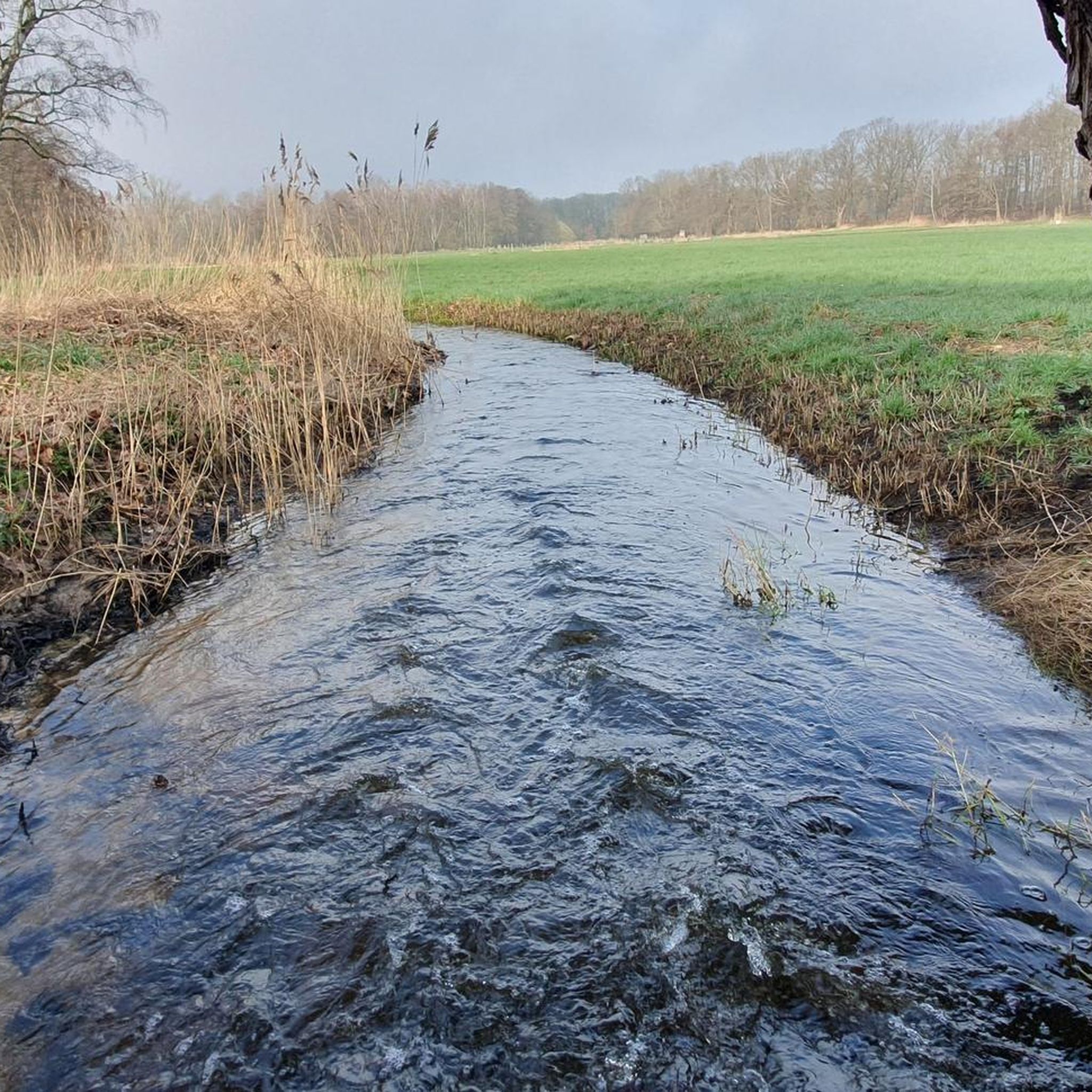
The biotope in Edemissen (municipality in the district of Peine) is an example of natural habitats in the region and shows how variedly designed garden and water areas can serve as refuges for plants and animals. Especially in connection with local projects and natural installations, it becomes clear how important such areas are for nature and species conservation in the surroundings. At the same time, Edemissen itself, as a quiet, green municipality with a high recreational value, fits well into this concept.
0
0

Komoot has now corrected this in the Highlight section! The heading for the tour is still incorrect! 🤔
1
0
The lake is near Edemissen. It has nothing to do with Didderse! 🤔
1
0

It stands in front of the IGS and is already a little overgrown.
0
0
Now without wings and residential building.
0
0

The recommendation was worth it.
3
1

It makes you hungry. A quick cake break is always a good idea.
4
0
Frequently Asked Questions
How many hiking trails are available in Schwarzwasserniederung?
Schwarzwasserniederung offers an extensive network of over 680 hiking trails. The majority of these, more than 500, are classified as easy, making the area very accessible for various skill levels.
What is the typical terrain like for hiking in Schwarzwasserniederung?
The terrain in Schwarzwasserniederung is predominantly flat with minimal elevation changes, making it ideal for leisurely walks. Trails often lead through open landscapes, agricultural areas, and along local waterways. While the broader region (like the Black Forest) features mountains and gorges, Schwarzwasserniederung itself is characterized by gentle paths.
Are there hiking trails suitable for beginners or those seeking easy walks?
Yes, Schwarzwasserniederung is particularly well-suited for beginners and those looking for easy walks. Over 500 of the available trails are rated as easy, featuring flat terrain and gentle paths. An example is the Biotope loop from Edemissen, which is an easy 4.8 km route.
Are there any longer or more challenging hikes in Schwarzwasserniederung?
While the region is known for its easy, flat trails, there are also options for those seeking a bit more challenge. Schwarzwasserniederung features 175 moderate routes and a few difficult ones. These might offer slightly longer distances or more varied terrain compared to the easiest paths.
What can I see along the hiking trails in Schwarzwasserniederung?
Along the trails, you can explore various points of interest that highlight the region's history and natural beauty. Notable attractions include the Oil Drilling History Site Oelheim, the Oil and Salt History Discovery Trail Oelheim Oil Fields, and the Hunäus 1 Oil Derrick "Mohr 3". You can also visit the Schwarzwasserniederung Conservation Area for natural exploration.
Are there any circular hiking routes in Schwarzwasserniederung?
Many of the trails in Schwarzwasserniederung are designed as circular routes, offering convenient starting and ending points. For instance, the Biotope – Old Edemissen Station loop from Edemissen is an easy 3.2 km circular hike.
Is Schwarzwasserniederung suitable for family hikes?
Yes, the flat terrain and abundance of easy, short trails make Schwarzwasserniederung very suitable for family hikes. The minimal elevation changes ensure a comfortable experience for children and those pushing strollers.
What do other hikers enjoy the most about hiking in Schwarzwasserniederung?
The area is highly rated by the komoot community, with an average score of 4.5 stars from over 1500 reviews. Hikers often praise the accessible, flat terrain, the peaceful open landscapes, and the well-maintained paths that lead through agricultural areas and along local waterways.
What is the best time of year to go hiking in Schwarzwasserniederung?
Given its flat terrain and gentle paths, Schwarzwasserniederung is suitable for hiking throughout much of the year. Spring and autumn offer pleasant temperatures and scenic views, while summer provides longer daylight hours. Even in winter, the low elevation makes it accessible for walks, though conditions may vary.
Are there opportunities for other outdoor activities besides hiking in Schwarzwasserniederung?
While primarily known for hiking, the broader region offers diverse outdoor pursuits. Depending on the specific location within Schwarzwasserniederung, you might find opportunities for cycling, mountain biking, and road cycling. During winter, areas with more elevation, like parts of the Black Forest, transform into hubs for snow sports such as skiing and snowshoeing.
Can I bring my dog on the hiking trails in Schwarzwasserniederung?
Generally, many trails in natural areas like Schwarzwasserniederung are dog-friendly, especially those through open landscapes and forests. However, it's always recommended to keep dogs on a leash, especially when passing through agricultural areas or near wildlife, and to check specific trail regulations if available.
Most popular routes in Schwarzwasserniederung
Most popular attractions in Schwarzwasserniederung

Get inspired with the komoot mobile app


Explore more
Browse the best Hikes in other regions.
