The best running trails in Isselniederung
4.4
(1209)
19,976
runners
1,245
runs
Jogging in Isselniederung offers a variety of running routes through its lowlands and natural areas. The region is characterized by flat terrain, with minimal elevation changes, making it suitable for various fitness levels. Runners can explore areas like the Diersfordter Forest and the Issel Lowlands Nature Reserve, which provide natural settings for outdoor exercise. The landscape primarily consists of woodlands and open lowlands, offering a consistent running surface.
Best jogging routes in Isselniederung
- The most popular jogging route is Diersfordter Forest (North) – View of Diersfordter Waldsee loop from NSG Risswald, a 9.9 miles (16.0 km) trail that takes 1 hour 45 minutes to complete. This difficult route features views of the Diersfordter Waldsee.
- Another top favourite among local runners is Running loop from NSG Risswald, a moderate 4.1 miles (6.6 km) path. This route offers a gentle running experience within the NSG Risswald nature reserve.
- Local runners also love the Ice cream parlor at the farm loop from NSG Risswald, a 7.0 miles (11.2 km) trail leading through varied terrain, often completed in about 1 hour 10 minutes.
- Jogging in Isselniederung is defined by woodlands, nature reserves, and lowlands. The network offers options for different ability levels, from easy jogging routes to more challenging running routes.
- The routes in Isselniederung are highly rated by the komoot community with an average score of 4.5 stars from over 900 reviews. More than 17,000 runners have used komoot to explore Isselniederung's varied terrain.
Last updated: October 7, 2026
5.0
(3)
23
runners
Moderate run. Good fitness required. Mostly paved surfaces. Suitable for all skill levels.
3.8
(4)
28
runners
Hard run. Very good fitness required. Mostly paved surfaces. Suitable for all skill levels.

21
runners
6.58km
00:42
0m
10m
Moderate run. Good fitness required. Mostly paved surfaces. Suitable for all skill levels.
21
runners
Moderate run. Good fitness required. Mostly paved surfaces. Suitable for all skill levels.
4.5
(2)
13
runners
4.50km
00:29
10m
10m
Easy run. Great for any fitness level. Mostly paved surfaces. Suitable for all skill levels.
Get access to more routes and recommendations from other explorers.
Already have an account?
Our route recommendations are based on thousands of hikes, rides, and runs completed by other people on komoot.
Start today with a free account
Your next adventure awaits.
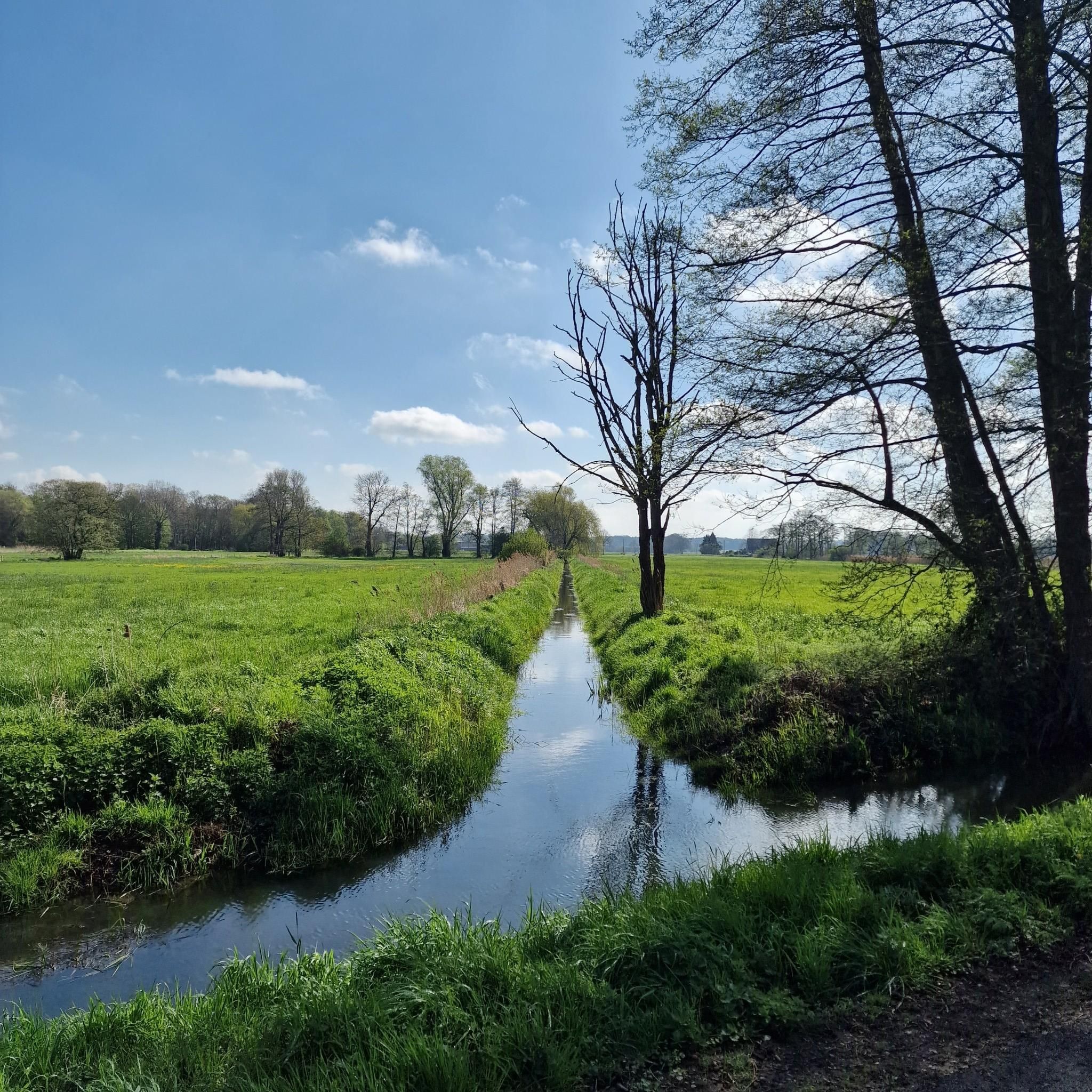
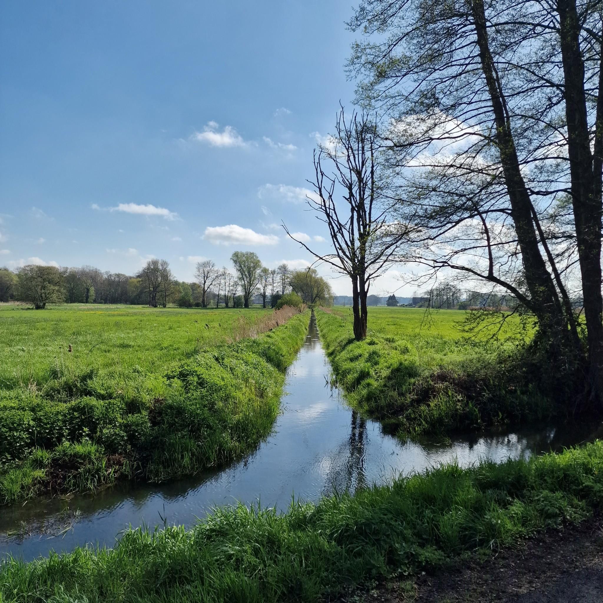
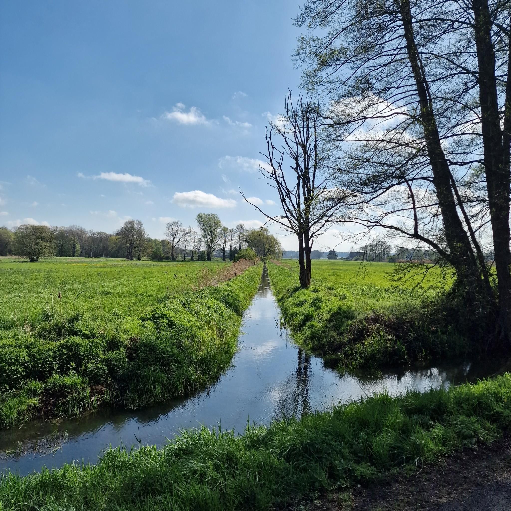
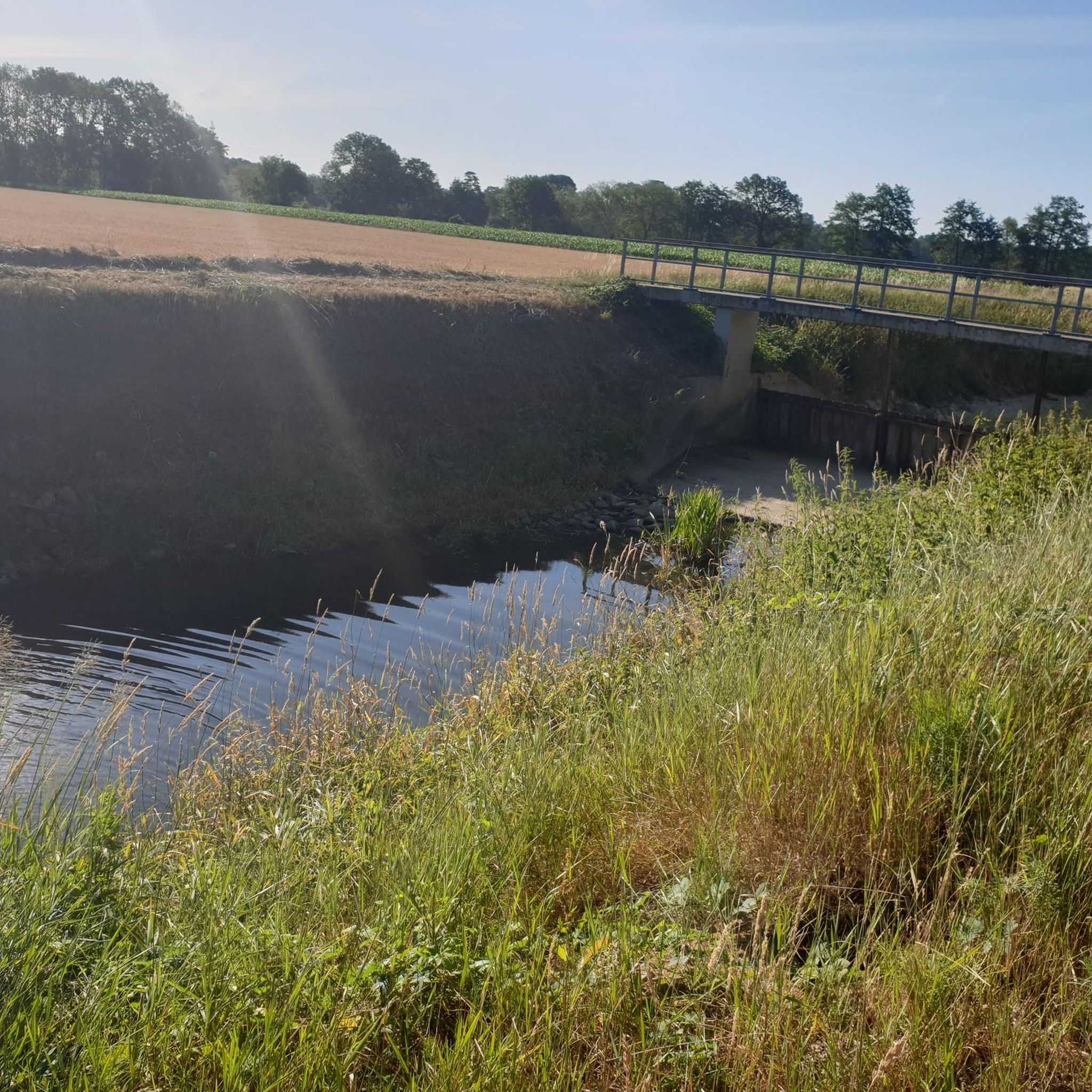
Tips from the Community

Nice resting spot and you enjoy total peace before reaching the moorland.
0
0

I was here to walk the LandStreifer „Diersfordter Wald“. This recommendable circular hiking trail offers many highlights, the picnic area with a view was one of them.
0
0

A bit inconspicuous and not easy to see from the road. But a small detour is worth it.
0
0

In 1571, it is noted that Ringenberg became Protestant. The parish no longer belonged to the Catholic parish of Dingden, but was oriented towards Hamminkeln, which was also Protestant. But what did that mean back then? Consequently, disputes repeatedly arose over who owned the church: the (Hamminkeln) Lutherans or the (Ringenberg) Reformed? In 1648, the Elector of Brandenburg (the Counts of Kleve had already been extinct for half a century) decreed that the church should serve both (Protestant) parties for worship. In the same year, 1648, he also enfeoffed one of his officers and comrades-in-arms from the Thirty Years' War with the lordship of Ringenberg. From then on, the von Spaen family (pronounced Spahn, not Spän) ruled there and had to set about rebuilding. For the village, castle, and church had been destroyed by the war, and the parsonage had burned down. In 1661, the castle was expanded into a Baroque palace. In the rebuilt church, a burial chamber was created under the choir for family members. A tomb slab from this period is still preserved (stands in the tower), and the saber under the organ also comes from the possessions of the von Spaen family. In the time of "Old Fritz", a new church was built, consecrated in 1754; the old one threatened to collapse and was demolished. According to the taste of the time and the plans of the architect Vierevandt from Arnhem, the church consists of an 8-sided brick building in the Dutch Baroque style, initially still without a tower. In 1907, a comprehensive renovation of the church took place, and only then was the 3-story tower with a Baroque "Schweifhaube" (curved hood) added. In 1933, the "Luther Oak" was planted in the square in front of the church to commemorate the 450th birthday of Martin Luther. In 1945, the church was largely destroyed. The burial vault and the wooden epitaphs (memorial tablets) of the von Spaen family were irretrievably lost. After the war, the architect Grütjen from Hamminkeln led the reconstruction; the church was reconsecrated in 1950. The then pastor Steinbach also ensured that displaced persons were settled on church grounds. Source: Evangelische Kirchengemeinde An Issel und Rhein
0
0

A very nice resting place
0
0

"The Protestant church in Ringenberg was built in the second half of the 18th century according to plans by the Dutch architect Vierevandt from Arnhem and consecrated in 1754. It consists of an elongated octagonal brick building and a 3-storey tower in the simple Dutch Baroque style. The tower has a tail cap on an octagon. The church dates back to a castle chapel mentioned as early as the 14th century. As early as 1571, the originally Catholic church was transferred to the Evangelical Lutheran community. The building was destroyed in the Thirty Years' War. The direct predecessor building was built from 1660/1661 and was so dilapidated in the 18th century that it had to be demolished. In 1907 and 1908, the church building from 1754 was extensively renovated and restored. The war damage at the end of the Second World War required the restoration of the coved framed mirror ceiling. However, the epitaphs in memory of the family members of the former lords of the castle, von Spaen, were irretrievably lost. Only a marble slab from 1768 in memory of Alexander Sweder von Spaen remained." https://www.hamminkeln.de/de/inhalt/evangelische-kirche-ringenberg/
0
0

Ferns grow endlessly along the side of the road.
1
0
Frequently Asked Questions
How many running routes are available in Isselniederung?
Isselniederung offers a wide selection of running routes, with over 1,200 unique trails available on komoot. This includes a diverse range of options for all fitness levels.
What is the typical terrain like for jogging in Isselniederung?
The region is characterized by its lowlands and natural areas, primarily featuring flat terrain with minimal elevation changes. You'll find yourself running through woodlands and open lowlands, providing a consistent surface for your run.
Are there running routes suitable for beginners in Isselniederung?
Yes, Isselniederung has numerous options for beginners. There are over 160 easy running routes, perfect for those new to jogging or looking for a relaxed pace. Many moderate routes are also accessible, offering a gentle running experience.
What do other runners enjoy most about the trails in Isselniederung?
The running routes in Isselniederung are highly rated by the komoot community, with an average score of 4.5 stars from over 900 reviews. Runners often praise the quiet woodlands, the natural settings of areas like the Issel Lowlands Nature Reserve, and the generally flat terrain suitable for various fitness levels.
Are there any interesting sights or natural features along the jogging paths?
Yes, you can discover several points of interest. For example, you might encounter the Isseldeich and Issel Floodplain, or the historic Historic Well on Up de Graat Meadow. Some routes, like the Diersfordter Forest (North) – View of Diersfordter Waldsee loop from NSG Risswald, offer views of the Diersfordter Waldsee.
Can I find circular running routes in Isselniederung?
Absolutely. Many of the running routes in Isselniederung are designed as loops, allowing you to start and finish at the same point. An example is the Running loop from NSG Risswald, which offers a gentle experience within the nature reserve.
Are there places to get refreshments or rest along the running routes?
Yes, you can find spots for a break. The Hagemann's Farm Café is one such place. Additionally, the Ice cream parlor at the farm loop from NSG Risswald route specifically highlights a refreshment stop.
Are the running trails in Isselniederung suitable for families?
Given the predominantly flat terrain and the availability of many easy and moderate routes, Isselniederung can be a good option for family runs. Trails through woodlands and nature reserves provide a pleasant environment for all ages.
Are the running routes dog-friendly?
While specific regulations for dogs can vary by nature reserve or private land, many natural trails in Isselniederung's woodlands and lowlands are generally suitable for running with dogs, provided they are kept on a leash and you follow local guidelines.
Are there any running routes that pass through nature reserves?
Yes, several routes take you through protected areas. The Rest Area at the Church – Issel Lowlands Nature Reserve loop from Hamminkeln is a great example, offering a moderate run through the Issel Lowlands Nature Reserve.
What is the longest running route available in Isselniederung?
Among the highlighted routes, the Diersfordter Forest (North) – View of Diersfordter Waldsee loop from NSG Risswald is a challenging option spanning nearly 10 miles (16 km), offering a longer endurance run.
Can I find running routes near specific towns like Dingden?
Yes, there are routes accessible from various towns. For instance, the St. Pankratius Church Dingden loop from Dingden is a moderate 7.5-mile (12 km) trail starting and ending in Dingden.
Most popular routes in Isselniederung
Most popular attractions in Isselniederung

Get inspired with the komoot mobile app


Explore more
Browse the best Running Trails & Routes in other regions.
