Attractions and Places To See in Beestenveld - Top 8
Best attractions and places to see in Beestenveld, a 398-hectare forest area in the Peel region of North Brabant, Netherlands, offers a tranquil setting for nature enthusiasts. Once a landscape of dry and marshy heathland, it was largely afforested starting in the 19th century, primarily with Scots pine. The area features an extensive network of sandy paths and connects with the larger Stippelberg and Nederheide forest areas, forming a vast woodland. Its history as former grazing land and its role…
Last updated: July 5, 2026
Stippelberg Forest and Streams
Highlight • Forest
Translated by Google •
Tip by

Koordekanaal through Beesterveld
Highlight • Historical Site
Translated by Google •
Tip by

Sign up now to discover places like this
Get recommendations on the best single tracks, peaks, & plenty of other exciting outdoor places.
Sign up for free
Forest Museum De Rips
Highlight • Structure
In 1326, Duke John III of Brabant issued municipal rights over the …
Tip by

Old signpost at the Klotterpeel
Highlight • Monument
Translated by Google •
Tip by
Stippelberg Lake
Highlight • Lake
Tip by
Sign up for free to discover even more attractions in Beestenveld.
Sign up for free
Already have an account?
Start today with a free account
Your next adventure awaits.
Login or Signup

Tips from the Community

This used to be an important crossroads. Centuries-old dirt roads intersected here, enabling passage through the isolated Peel region. A signpost was already noted at this location on military topographic maps dating from around 1810. Important roads through the Peel region. The signpost indicated the direction of the road running from Gemert to Venray. This was therefore the main major Peel thoroughfare. During the French period, around 1810, this road was referred to as "le grande chemin de Gemert à Venray" (the main road from Gemert to Venray). The signpost also indicated the direction of the road running from Deurne/Milheeze to Oploo. Back then, there were no trees yet, and all you saw was an open plain with heathland. Imagine this: it's foggy and you're on foot or with a horse and cart. How useful, then, to have a signpost on your path, pointing you in the right direction. The adjacent Kruisberg (Cross Hill). This was so named because the adjacent "mountain" was bisected by the road structure in the shape of a cross. In the center of the cross stood the old signpost, which disappeared around 1950. The current signpost was installed in 2011 near the old site as a permanent reminder.
0
0
In the landscape on the Stippelberg you can see a division. Millions of years ago, fault lines were created. This was caused by shifting layers of earth. Here on the Stippelberg we have the Milheezer fault line, a branch of the Peelrand fault. You can see this in the sudden difference in height and difference in vegetation in the area.
2
0
A place that you really have to see is d’n Blikken Emmer. This place is located on top of the highest stippel. But what exactly can you admire? At this spot you can see a bucket hanging on top of a pole. Now you might think, why a bucket? In the past, when forest workers were allowed to take a break, this bucket was hit. It was also a fire alarm, because you had a good view of the estate from this spot. On the other side of the Stippelberg, the eastern part, you won’t find any stippels. Here you will find beautiful oak and beech avenues that belong to the country house. Around this beautiful English-style villa you can admire the rhododendrons, currant trees and other flowering shrubs that make the estate even more beautiful. Want to delve even deeper into the area? Then you will suddenly find yourself at the edge of the forest. Here you will see a landscape as the Peel once looked. With heather and solitary Scots pines.
2
0
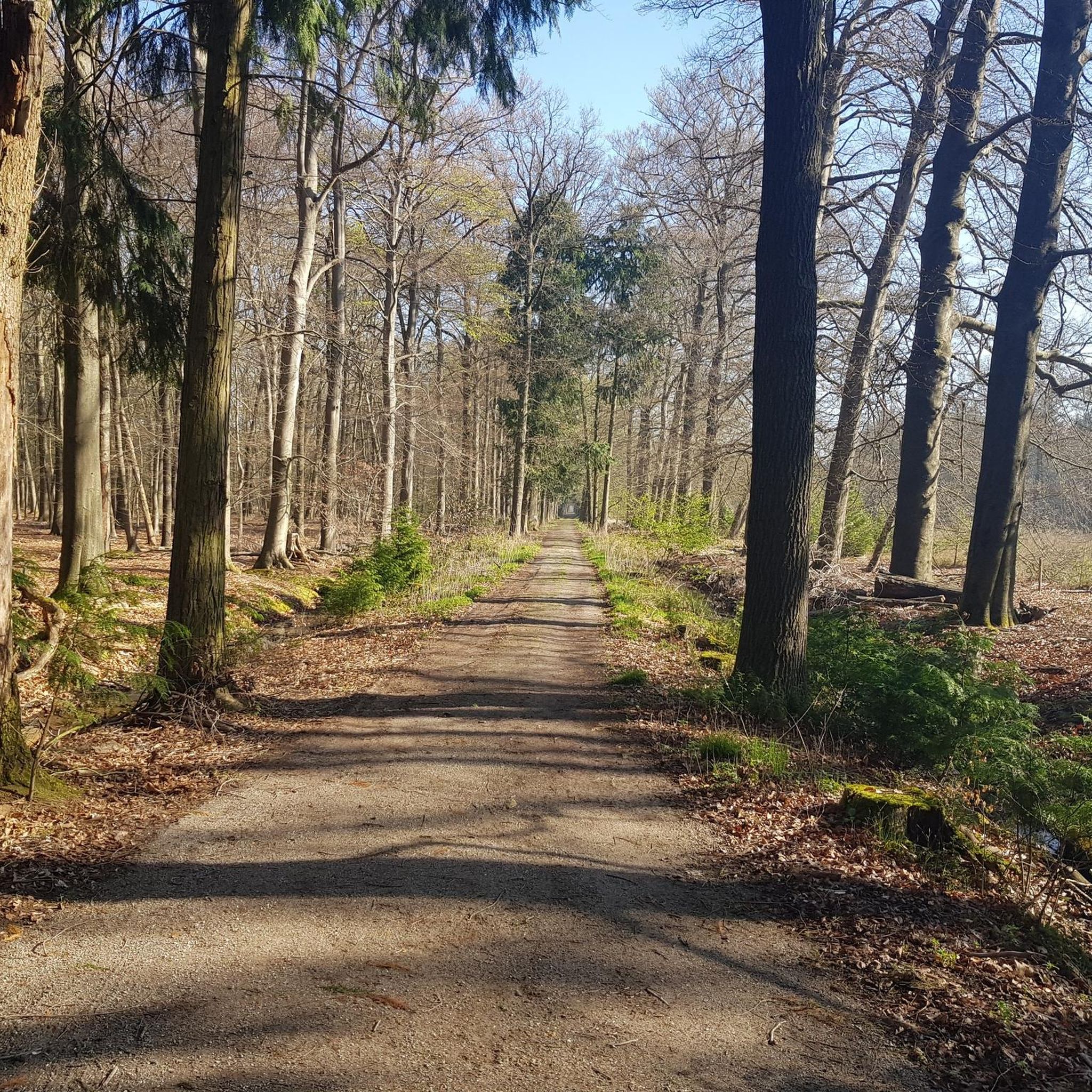
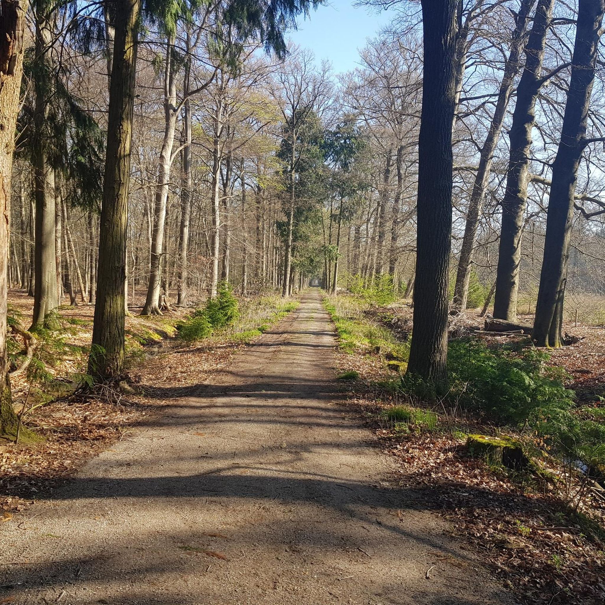
The Stippelberg is a large nature reserve. Yet it is well hidden in the east of Brabant, near the village of De Rips. Walk in the eastern part of the Stippelberg over the beautiful lanes that belong to the country house. And admire the rhododendrons that brighten up the estate. A striking feature of the Stippelberg are the many hills in the middle of the forest. All those 'dots' are drifting dunes created by sand drifts. The Stippelberg owes its name to these hills. Due to afforestation for wood production, you can now find an extensive pine forest here. Take a walk in this forest over the dots in the landscape.
2
0

Beautiful to look at and lovingly made
2
0
Very nice there ,Sun is shining
0
0

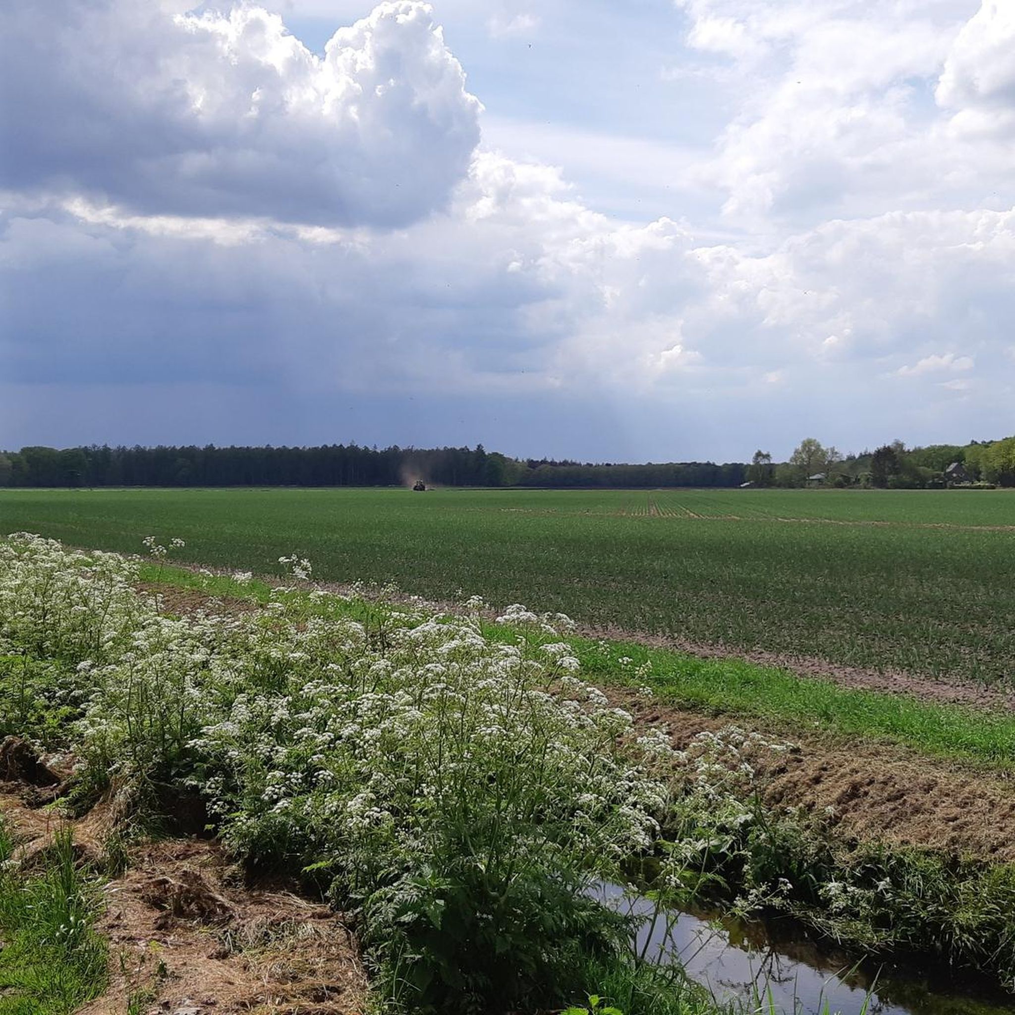
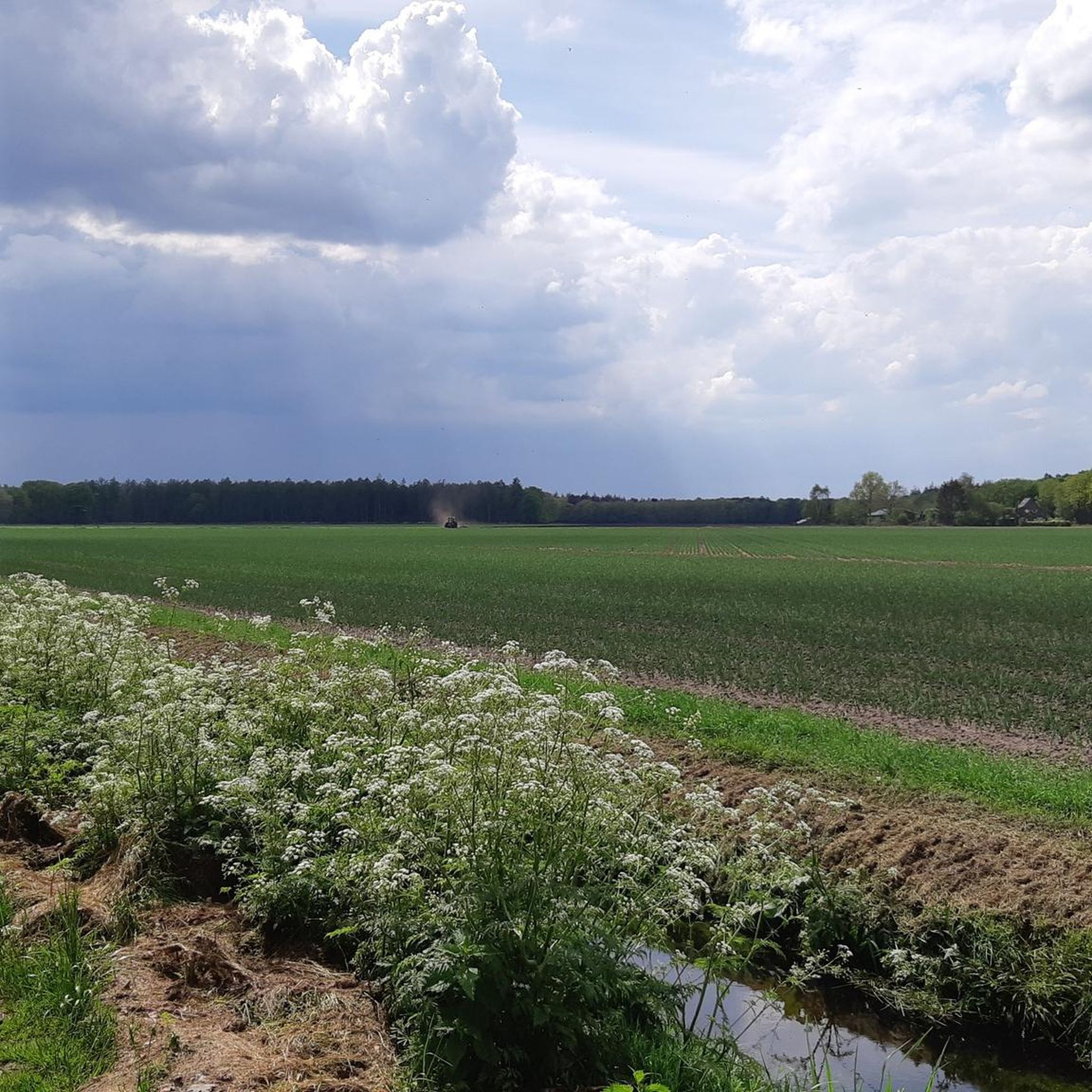
Beautiful forest with fens and streams. Name is derived from the small hills (drift dunes) called stipples
1
1

After the First World War, there was a desire to better defend the Netherlands. Certainly when the rearmament of Germany under the Nazi regime presented itself, work began on the construction of the Defense Canal, part of the Peel-Raamstelling, which was partly constructed as a job creation project. Since the Defense Canal was very far to the east, they wanted to build an extra tank ditch a little further west to slow down an attack, should the line at the Defense Canal be breached. This became the Choral Canal, named after the chord cut off from a circle. Several minefields were also built near the Koordekanaal. However, hardly any money was provided for the construction of this line and, unlike the Defense Canal, no bunkers were built here. When the Germans invaded on May 10, 1940, there were too few soldiers to adequately man the Koordekanaal. The few soldiers stationed there withdrew after three days. In doing so, they blew up the bridges over the canal, which would create an obstacle for the Dutch soldiers who later had to withdraw from the line at the Defense Canal. The civilians who stayed in this area were also unnecessarily endangered.
1
0
Frequently Asked Questions
What natural features can I explore in Beestenveld?
Beestenveld is characterized by its vast forest, primarily Scots pine, with an extensive network of sandy paths. Adjacent areas like Stippelberg Forest and Streams feature distinctive 'stippels' (drift dunes) and beautiful avenues. You can also find rippling streams, such as the Babbling Stream in the Peelbos, adding to the tranquil natural scenery.
Are there any historical sites to visit in Beestenveld?
Yes, Beestenveld holds historical significance. The Koordekanaal through Beesterveld is a notable historical site, dug in 1939 as a defensive work during World War II. Additionally, the Forest Museum De Rips provides insights into the region's past, including its transition from heathland to forest and the development of the village of De Rips.
Where can I experience the unique Peel landscape near Beestenveld?
For a glimpse into the traditional Peel landscape, visit Klotterpeel, adjacent to Beestenveld. This area retains its character with fens, peat moss, and heath, unlike the extensively afforested Beestenveld. A 'laarzenpad' (boot path) around Klotterpeel starts at the Hazenhutsedijk, offering a unique experience of this wetland environment.
What outdoor activities can I do near these attractions?
The Beestenveld area is excellent for various outdoor activities. You can find numerous routes for hiking, running, and gravel biking. For easy hikes, explore options like the Stippelberg Forest and Streams loop or the Koordekanaal through Beesterveld loop. You can find more details and routes on the easy hikes in Beestenveld guide, the running trails in Beestenveld guide, or the gravel biking in Beestenveld guide.
Are there family-friendly attractions in Beestenveld?
Yes, several attractions in Beestenveld are suitable for families. The extensive forest and walking trails are great for exploring together. The Stippelberg Forest and Streams and the Babbling Stream in the Peelbos offer pleasant natural settings for family walks. The Forest Museum De Rips also provides an educational and engaging experience for all ages.
What kind of wildlife can be spotted in Beestenveld?
Beestenveld and its surrounding areas are home to diverse wildlife. The Koordekanaal through Beesterveld is a thriving habitat for dragonflies, damselflies, frogs, toads, and viviparous lizards. Birdwatchers might spot ravens, tawny owls, and black woodpeckers in the nearby woods. In Klotterpeel, you might even encounter the moor frog.
Where can I park when visiting Beestenveld?
A convenient parking option is the Marialaan Parking. From here, you can easily start various hiking tours into the Stippelberg nature reserve, which borders Beestenveld.
What is the best time to visit Beestenveld?
Beestenveld offers a tranquil setting year-round. The extensive forest and sandy paths are ideal for walks in most seasons. Spring and autumn provide pleasant temperatures and beautiful foliage, while summer is great for enjoying the lush greenery. Winter can offer a serene, quiet experience, especially after snowfall.
Are there specific trails for long walks in Beestenveld?
Yes, Beestenveld is renowned for its deep tranquility and extensive network of sandy paths, making it ideal for long walks. Numerous circular walks are signposted, with starting points at Deurneseweg, near De Rips, and Hazenhutsedijk. These trails often connect with the larger Stippelberg and Nederheide forest areas.
What are the 'stippels' in Stippelberg Forest?
The 'stippels' in Stippelberg Forest and Streams are small hills, which are actually drift dunes formed by sand drifts. These distinctive features give the Stippelberg its name and are a unique part of the landscape, offering varied terrain for exploration.
Can I find cafes or accommodation near Beestenveld?
While Beestenveld itself is a natural area, the nearby village of De Rips, where the Forest Museum De Rips is located, offers amenities such as cafes, pubs, and accommodation options for visitors.
Are dogs allowed in Beestenveld?
Beestenveld is a natural area managed by Staatsbosbeheer. Generally, dogs are welcome in Dutch nature reserves but often need to be kept on a leash to protect wildlife and other visitors. It's advisable to check local signage or the Staatsbosbeheer website for specific rules regarding dog access in Beestenveld and surrounding areas.
Most popular routes in Beestenveld

Get inspired with the komoot mobile app


Explore more
Still not found the Highlight you’re looking for? See guides of the top attractions in other regions:
