The best mountain hikes in Mookerheide
4.8
(16)
48
hikers
6
hikes
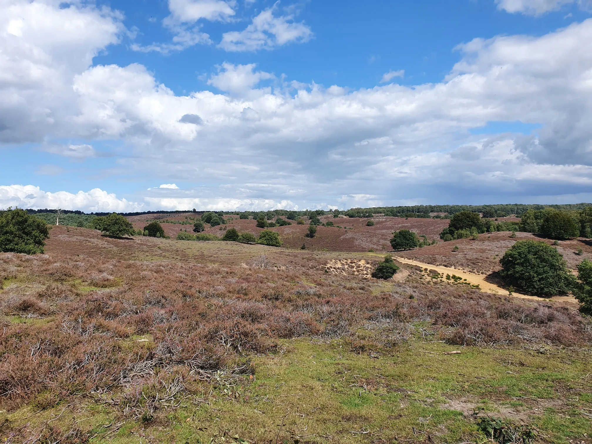
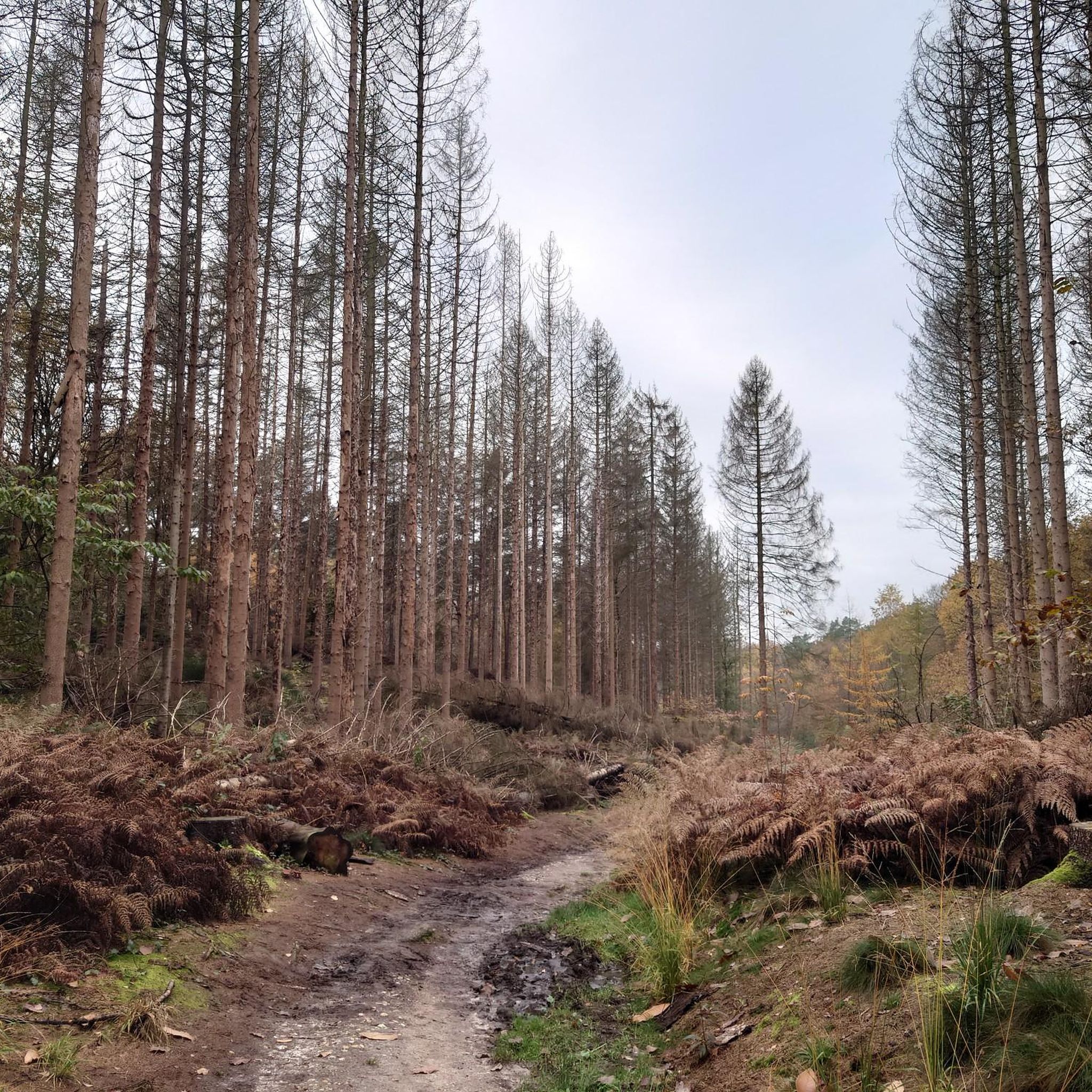
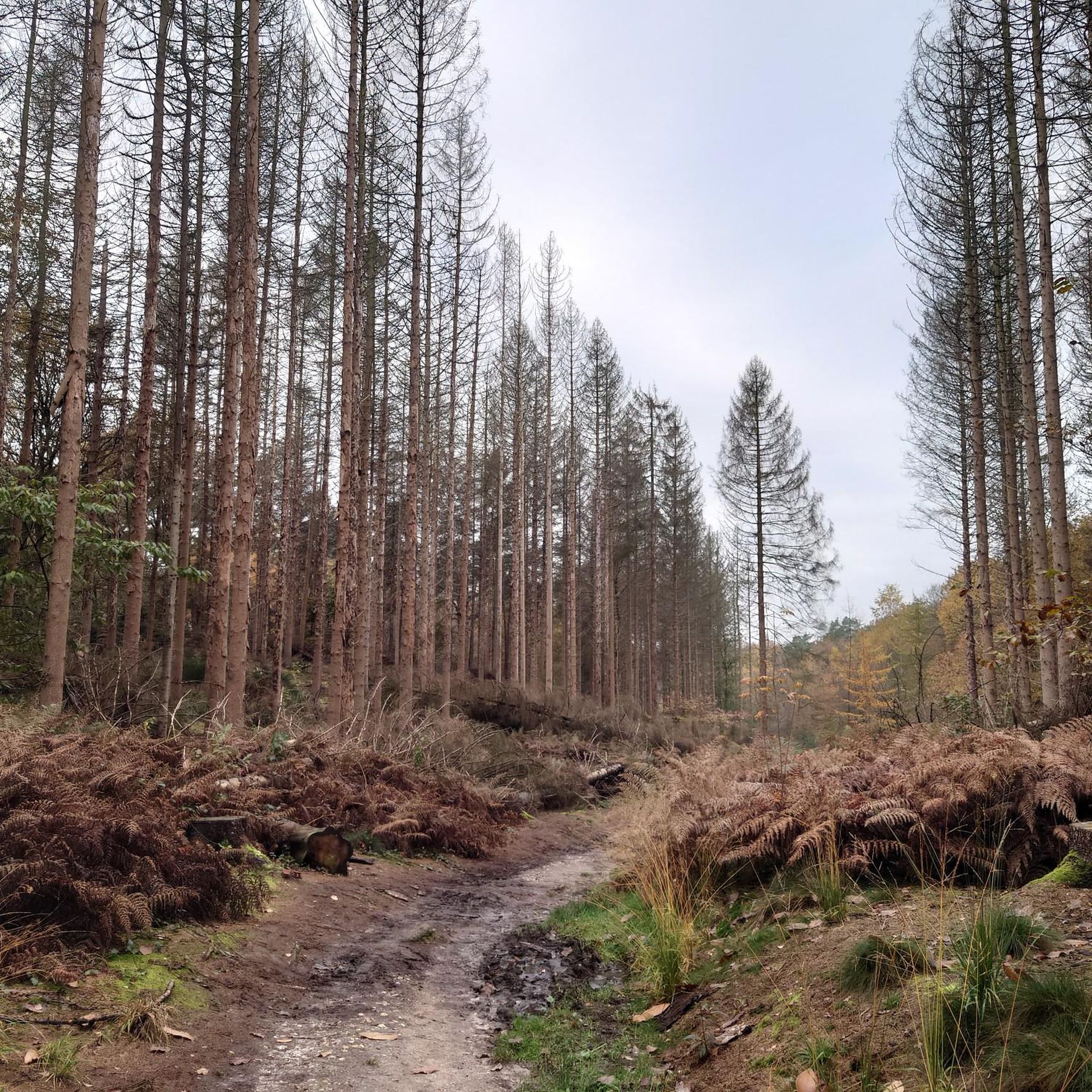
Mountaineering routes in Mookerheide traverse a landscape characterized by rolling hills, dense forests, and tranquil stream valleys. The region, located in Limburg, offers varied terrain with moderate elevation changes, making it suitable for different skill levels. Key features include the forested slopes of Duivelsberg and scenic viewpoints overlooking the surrounding countryside. The area provides a mix of natural beauty and well-maintained trails.
Best mountaineering routes in Mookerheide
- The most popular mountaineering route is Eatery De Diepen - Milsbeek – Ketelwald…
Last updated: July 4, 2026
1
hikers
Easy mountaineering route. Great for any fitness level. Easily-accessible paths. Suitable for all skill levels.
4.7
(7)
22
hikers
Moderate mountaineering route. Good fitness required. Easily-accessible paths. Suitable for all skill levels.

Sign up for free
4.8
(8)
21
hikers
Moderate mountaineering route. Good fitness required. Easily-accessible paths. Suitable for all skill levels.
2
hikers
Easy mountaineering route. Great for any fitness level. Easily-accessible paths. Suitable for all skill levels.
5.0
(1)
1
hikers
Easy mountaineering route. Great for any fitness level. Easily-accessible paths. Suitable for all skill levels.
Our route recommendations are based on thousands of hikes, rides, and runs completed by other people on komoot.
Start today with a free account
Your next adventure awaits.
Login or Signup
Popular around Mookerheide



Tips from the Community

you will encounter enough of these little stairs
0
0


It can be busy on weekends. It is a popular hiking area.
1
0

The thought is nice, but there would be better benches upstairs
0
0

nice area for walking, dogs are allowed to run free here between 1-10 and 1-5
1
0

Beautiful view over the Rhine Valley
0
0
Frequently Asked Questions
Are there easy mountaineering routes in Mookerheide suitable for beginners?
Yes, Mookerheide offers several easy routes perfect for beginners. For instance, the Eatery De Diepen - Milsbeek – Ketelwald Trail at Grensweg loop from Milsbeek is an easy 6.7 km trail through the forested Ketelwald area. Another accessible option is the Sunken Path in the Forest – Devil's Mountain (Duivelsberg) loop from Berg en Dal, which is about 5.4 km.
What is the typical duration for mountaineering routes in Mookerheide?
The duration of mountaineering routes in Mookerheide varies depending on the trail's length and your pace. Easy routes, like the 5.1 km Devil's Mountain (Duivelsberg) – Wylerberg Lake loop from Persingen, can take around 1 hour 20 minutes. Longer, moderate routes, such as the 13.8 km Picnic Spot by the Stream – Devil's Mountain (Duivelsberg) loop from Ubbergen, typically require about 3 hours 40 minutes to complete.
Are there any circular mountaineering routes in Mookerheide?
Yes, many mountaineering routes in Mookerheide are circular, allowing you to start and end at the same point. Examples include the Picnic Spot by the Stream – Heerlijkheid Beek Viewpoint loop from Berg en Dal, which is a moderate 13.2 km loop, and the shorter, easy Eatery De Diepen - Milsbeek – Ketelwald Trail at Grensweg loop from Milsbeek.
What kind of terrain can I expect on mountaineering routes in Mookerheide?
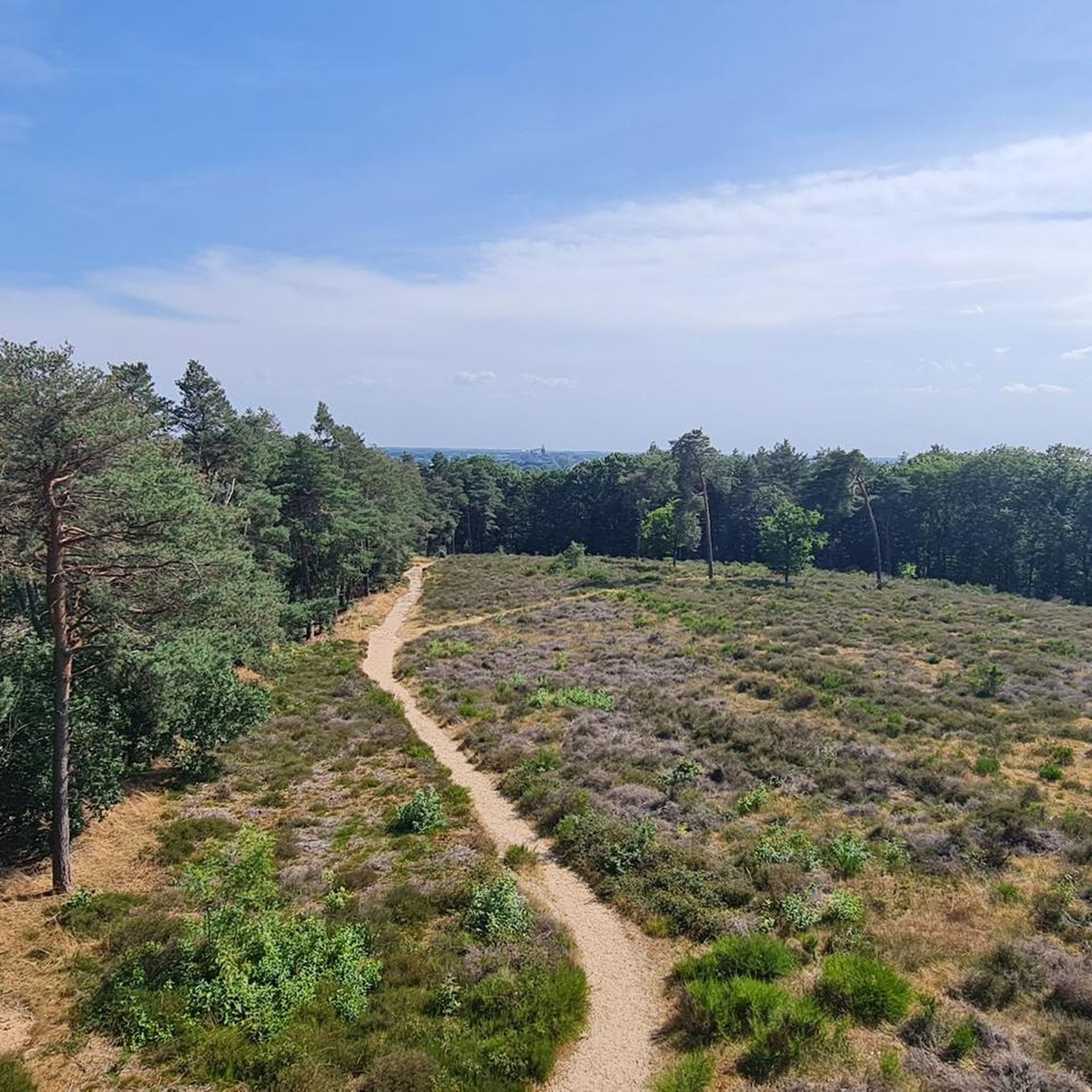
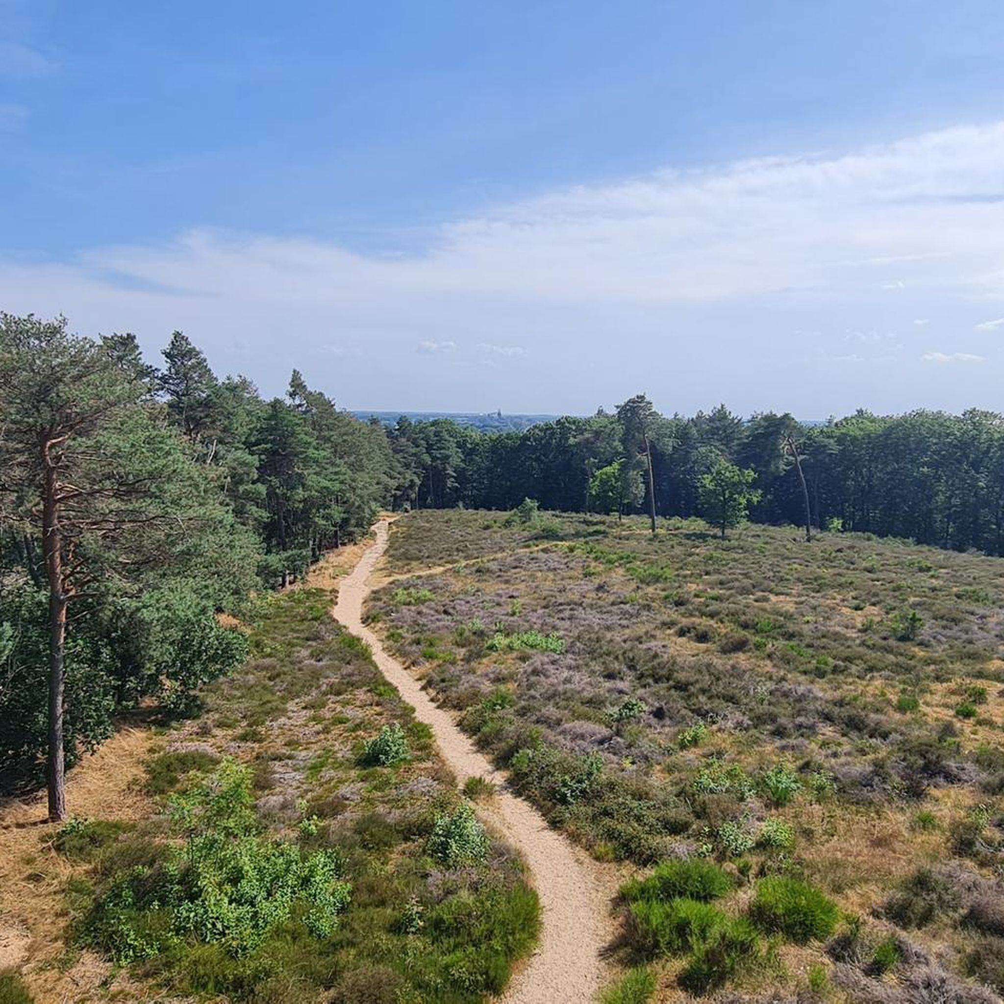
Mookerheide's mountaineering routes traverse a diverse landscape of rolling hills, dense forests, and tranquil stream valleys. You'll encounter moderate elevation changes, particularly around areas like Duivelsberg, and enjoy scenic viewpoints overlooking the surrounding countryside. The trails are generally well-maintained.
What are some interesting landmarks or attractions to see along the mountaineering routes?
While exploring Mookerheide, you can discover several interesting landmarks. Keep an eye out for the historic Heumense Schans, an old fortification, or visit the Mookerschans Observation Tower for panoramic views. The Mookerheide Heath itself is a significant natural attraction.
What do other mountaineers enjoy most about Mookerheide?
The mountaineering routes in Mookerheide are highly rated by the komoot community, with an average score of 4.8 stars. Reviewers often praise the region's varied terrain, from forested hills to tranquil stream valleys, and the well-maintained trails that cater to different skill levels.
Are the mountaineering routes in Mookerheide suitable for families with children?
Yes, Mookerheide offers routes suitable for families. The easier trails, characterized by moderate distances and gentle elevation changes, are ideal for outings with children. For example, the Devil's Mountain (Duivelsberg) – Wylerberg Lake loop from Persingen is a relatively short and easy option.
Are there any cafes or pubs near the mountaineering trails in Mookerheide?
While specific cafes or pubs directly on the trails are not listed, the region of Mookerheide, being in Limburg, has various towns and villages nearby where you can find refreshment options. It's advisable to check local listings for places in Milsbeek, Ubbergen, or Berg en Dal before your trip.
How many mountaineering routes are available in Mookerheide?
There are over 7 mountaineering routes available in Mookerheide, offering a good selection for various preferences and skill levels. These include 4 easy routes and 3 moderate routes.
What is the best time of year to go mountaineering in Mookerheide?
Mookerheide's landscape of forests and rolling hills is enjoyable throughout much of the year. Spring and autumn offer pleasant temperatures and beautiful scenery with blooming flora or vibrant fall colors. Summer is also suitable, though it can be warmer, while winter can provide a different, serene experience, especially on clear days.
Most popular routes in Mookerheide
Most popular attractions in Mookerheide

Get inspired with the komoot mobile app


Explore more
Browse the best Mountain Hikes & Routes in other regions.
