The best walks and hikes in Syen-Venn
4.4
(7969)
32,889
hikers
906
hikes
Hiking trails in Syen-Venn are located within a natural park in Landkreis Grafschaft Bentheim, characterized by generally flat terrain and minimal elevation changes. The landscape primarily consists of gentle paths and open areas, making it accessible for various activity levels. This region offers a network of trails suitable for exploring its natural environment.
Best hiking trails in Syen-Venn
- The most popular hiking route is Cycle Path to Syenvenn – Syen-Venn loop from Syen-Venn, a 5.6 miles (9.0 km) trail…
Last updated: July 17, 2026
3.8
(12)
25
hikers
9.06km
02:16
10m
10m
Moderate hike. Good fitness required. Easily-accessible paths. Suitable for all skill levels.
4.0
(2)
6
hikers
3.82km
00:58
0m
0m
Easy hike. Great for any fitness level. Easily-accessible paths. Suitable for all skill levels.

Sign up for free
4.0
(1)
5
hikers
2.62km
00:40
0m
0m
Easy hike. Great for any fitness level. Easily-accessible paths. Suitable for all skill levels.
3
hikers
6.26km
01:34
0m
0m
Easy hike. Great for any fitness level. Easily-accessible paths. Suitable for all skill levels.
5.0
(1)
29
hikers
4.75km
01:12
0m
0m
Easy hike. Great for any fitness level. Easily-accessible paths. Suitable for all skill levels.
Get access to more routes and recommendations from other explorers.
Sign up for free
Already have an account?
Our route recommendations are based on thousands of hikes, rides, and runs completed by other people on komoot.
Start today with a free account
Your next adventure awaits.
Login or Signup
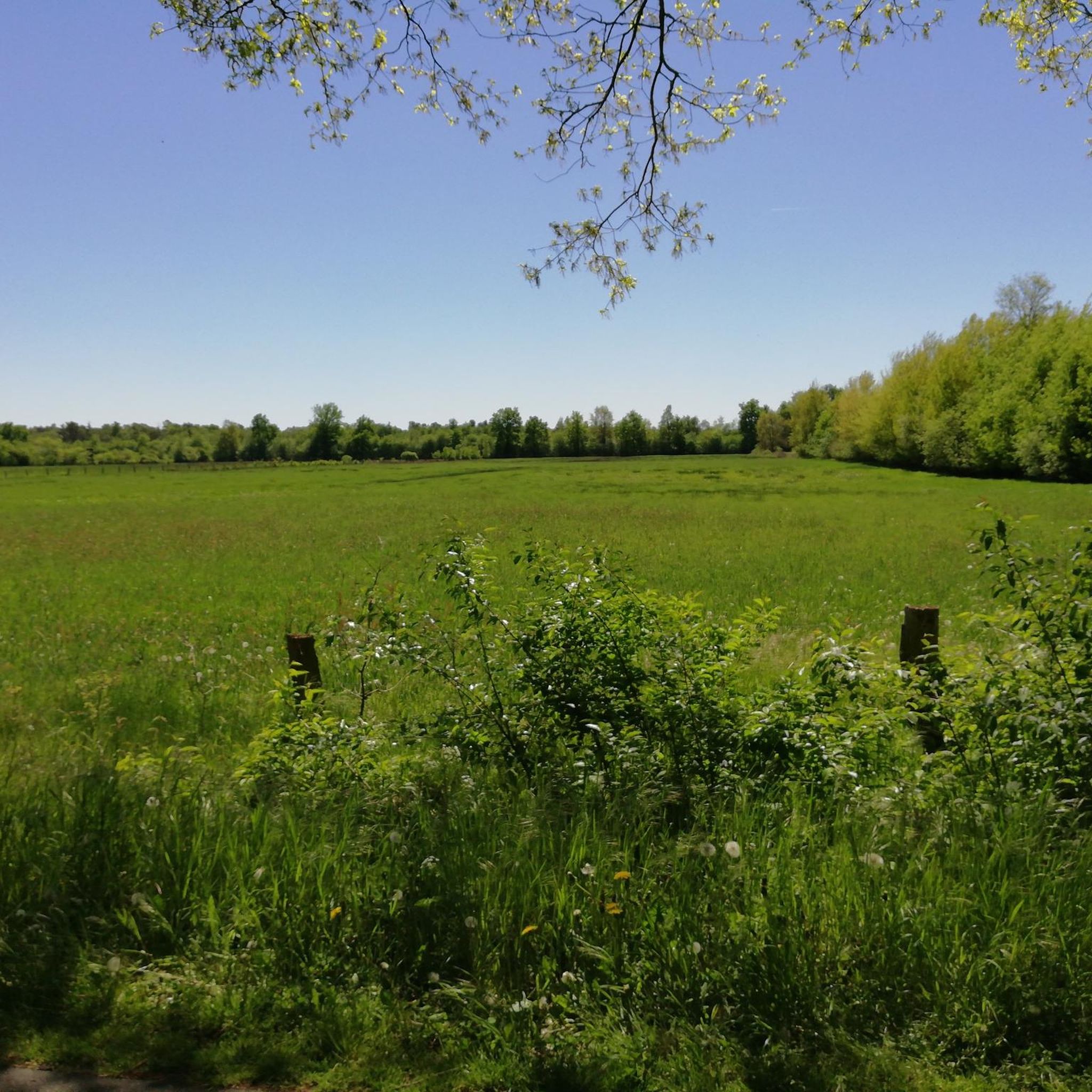
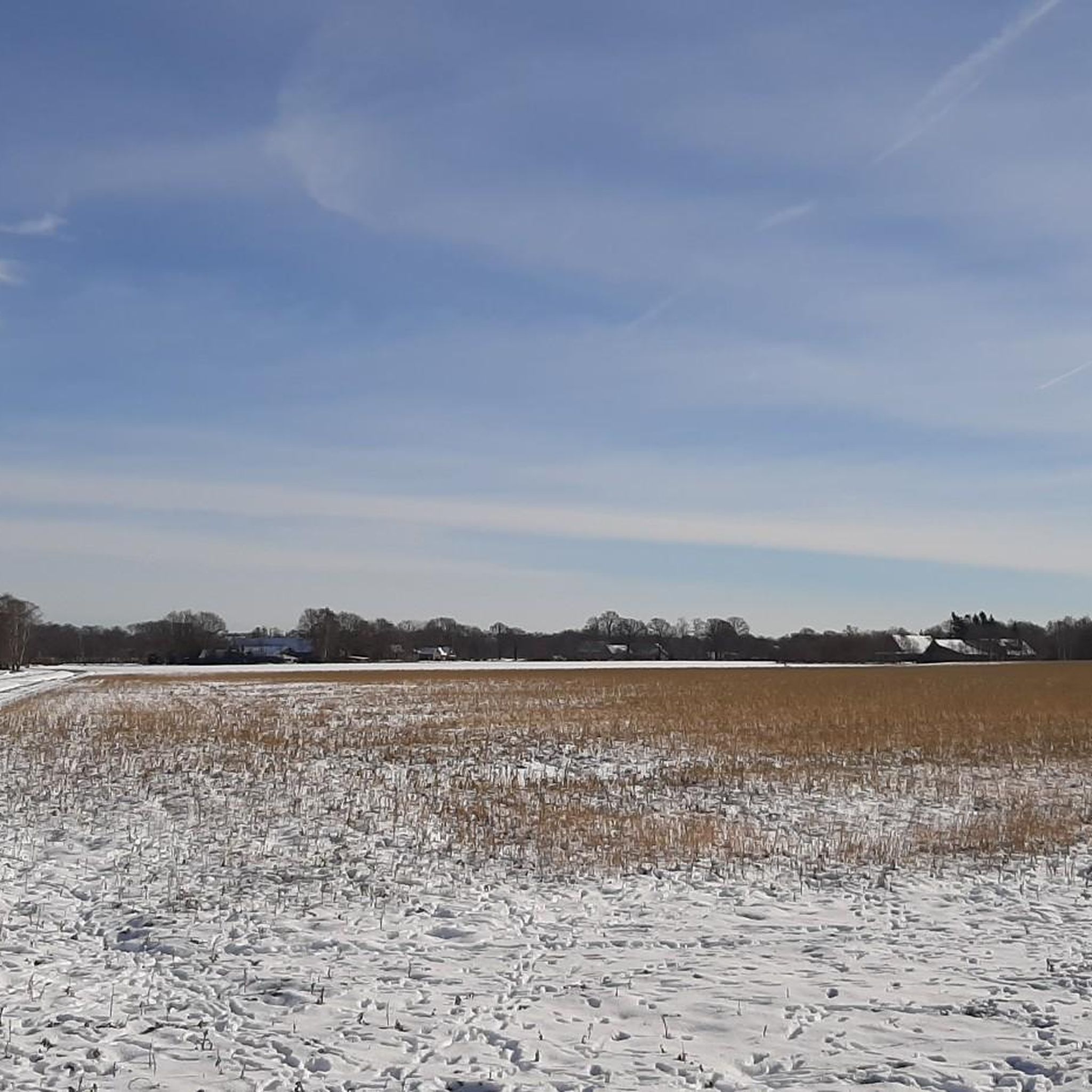

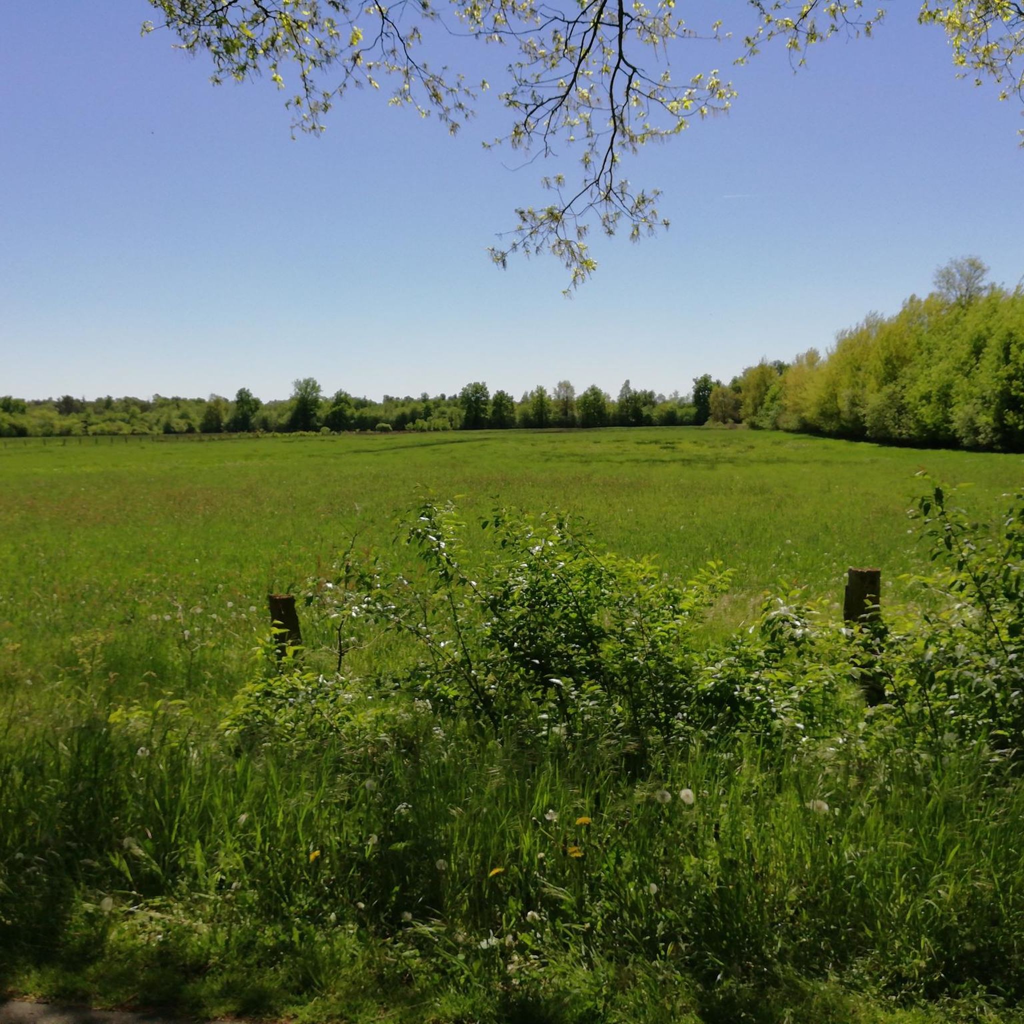
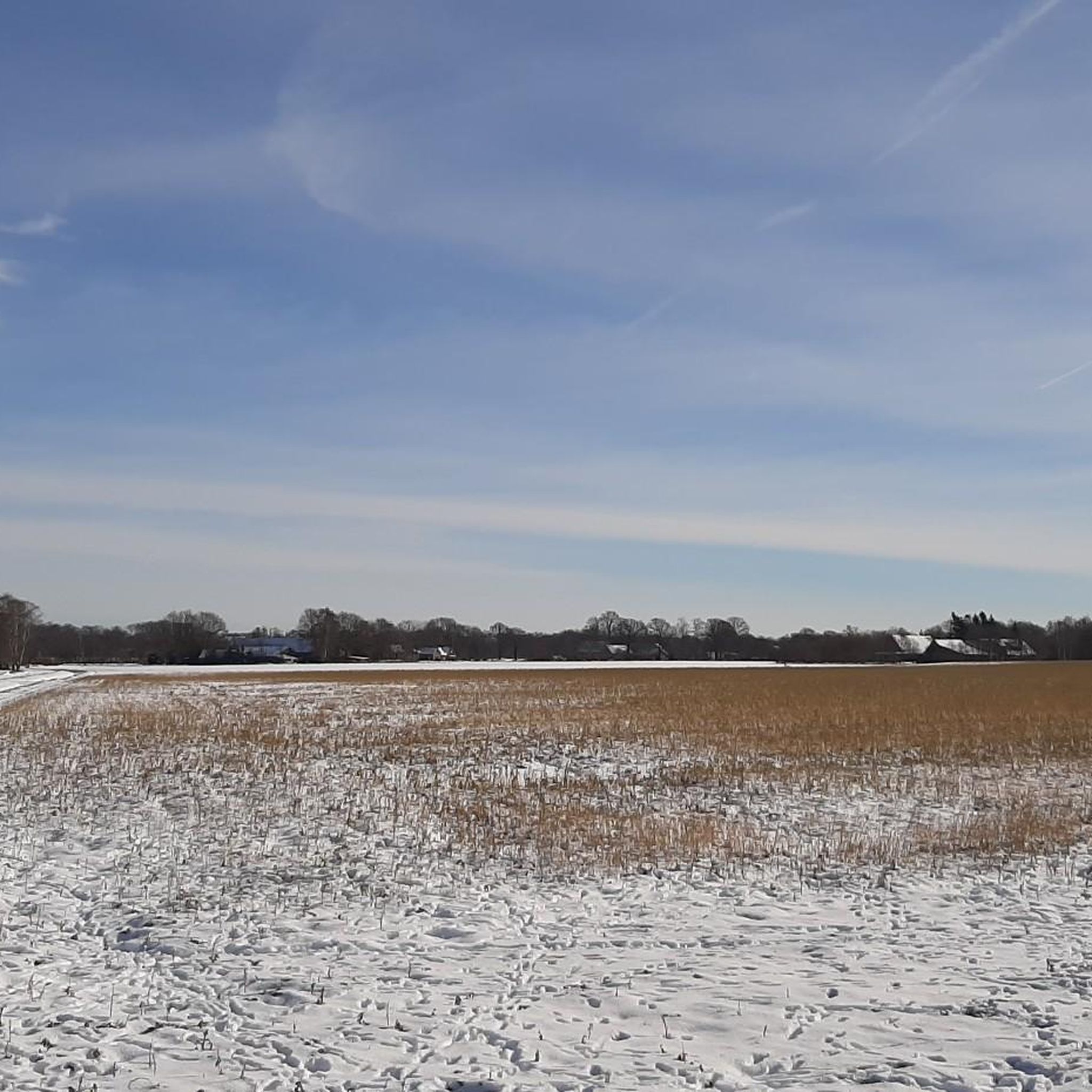
Tips from the Community

Shelter and rest area in one.
3
1

Great rest area with canopy. There is definitely room for 12 people to sit at the same time.
5
1

Rest area, always dry. 🚴♂️👍😀
7
0
Ideal environment for hiking and of course for cycling.🚴♂️😀👍
7
0

Is correct ! The refuge is at the Isterberger Weg / Syenvennweg intersection!
8
1
Located on Isterberger Weg in the Syenvenn, between Nordhorn and Bad Bentheim / Gildehaus.
8
1

Location is wrong!
3
1

Is right at the intersection on Syenvennweg.
6
0
Frequently Asked Questions
How many hiking trails are available in Syen-Venn?
Syen-Venn offers a comprehensive network of over 880 hiking trails. These routes cater to various preferences, with a significant number of easy and moderate options available for exploration.
Are there easy hiking trails suitable for beginners in Syen-Venn?
Yes, Syen-Venn is an excellent area for beginners, with over 560 easy routes. The terrain is generally flat with minimal elevation changes, making it very accessible. An example of an easy route is the Syen-Venn – Syen-Venn loop from Syen-Venn, which is 3.8 miles (6.1 km) long.
Are the hiking trails in Syen-Venn suitable for families with children?
Absolutely. The flat terrain and well-maintained paths in Syen-Venn make it ideal for families. Many routes are short and easy, perfect for walks with children. The Bramhaar Shelter – Syen-Venn loop from Syen-Venn is a great option, covering 2.9 miles (4.8 km) through the natural park.
Can I bring my dog on the hiking trails in Syen-Venn?
Yes, dogs are generally welcome on the hiking trails in Syen-Venn. As it's a natural park, it's always recommended to keep your dog on a leash to protect local wildlife and ensure a pleasant experience for all hikers. Please also remember to clean up after your pet.
Are there circular hiking routes in Syen-Venn?
Many of the trails in Syen-Venn are designed as circular routes, allowing you to start and end at the same point. For instance, the Cycle Path to Syenvenn – Syen-Venn loop from Syen-Venn is a popular 5.6-mile (9.0 km) loop that follows a designated cycle path.
What is the best time of year to go hiking in Syen-Venn?
Syen-Venn can be enjoyed year-round. Spring and autumn offer pleasant temperatures and beautiful natural colors, while summer is great for longer days. Even in winter, the flat paths are often accessible, though conditions can vary, so checking local weather is always advisable.
What kind of landscape can I expect while hiking in Syen-Venn?
Syen-Venn is characterized by its generally flat terrain within a natural park. You'll find gentle paths and open areas, with landscapes primarily consisting of fields, small woodlands, and agricultural areas. The focus is on accessible, tranquil walks through a rural environment.
Are there any cafes or places to eat near the hiking trails in Syen-Venn?
While Syen-Venn itself is a natural park, the surrounding villages and towns in Landkreis Grafschaft Bentheim offer various cafes and restaurants. It's a good idea to check local listings in nearby communities like Nordhorn or Bad Bentheim for dining options before or after your hike.
What do other hikers enjoy most about hiking in Syen-Venn?
The komoot community highly rates Syen-Venn, with an average score of 4.4 stars from over 7,200 reviews. Hikers often praise the area for its peaceful, accessible paths, the natural park setting, and the ease of finding routes suitable for all ability levels.
Are there any longer, more challenging routes in Syen-Venn?
While Syen-Venn is known for its flat and accessible terrain, there are some moderate routes for those looking for a slightly longer experience. For example, the Syen-Venn – Cycle Path to Syenvenn loop from Isterberg is a moderate 6.9-mile (11.1 km) route that offers a good distance for a longer walk.
Is parking available at the trailheads in Syen-Venn?
Yes, many of the trailheads and access points around Syen-Venn offer parking facilities. It's common for natural parks in the region to provide designated parking areas for visitors. Checking the starting points of specific routes on komoot can help you locate the most convenient parking.
Most popular routes in Syen-Venn

Get inspired with the komoot mobile app


Explore more
Browse the best Hikes in other regions.
