The best running trails in Donnerschweer Wiesen
4.4
(1105)
21,851
runners
1,045
runs
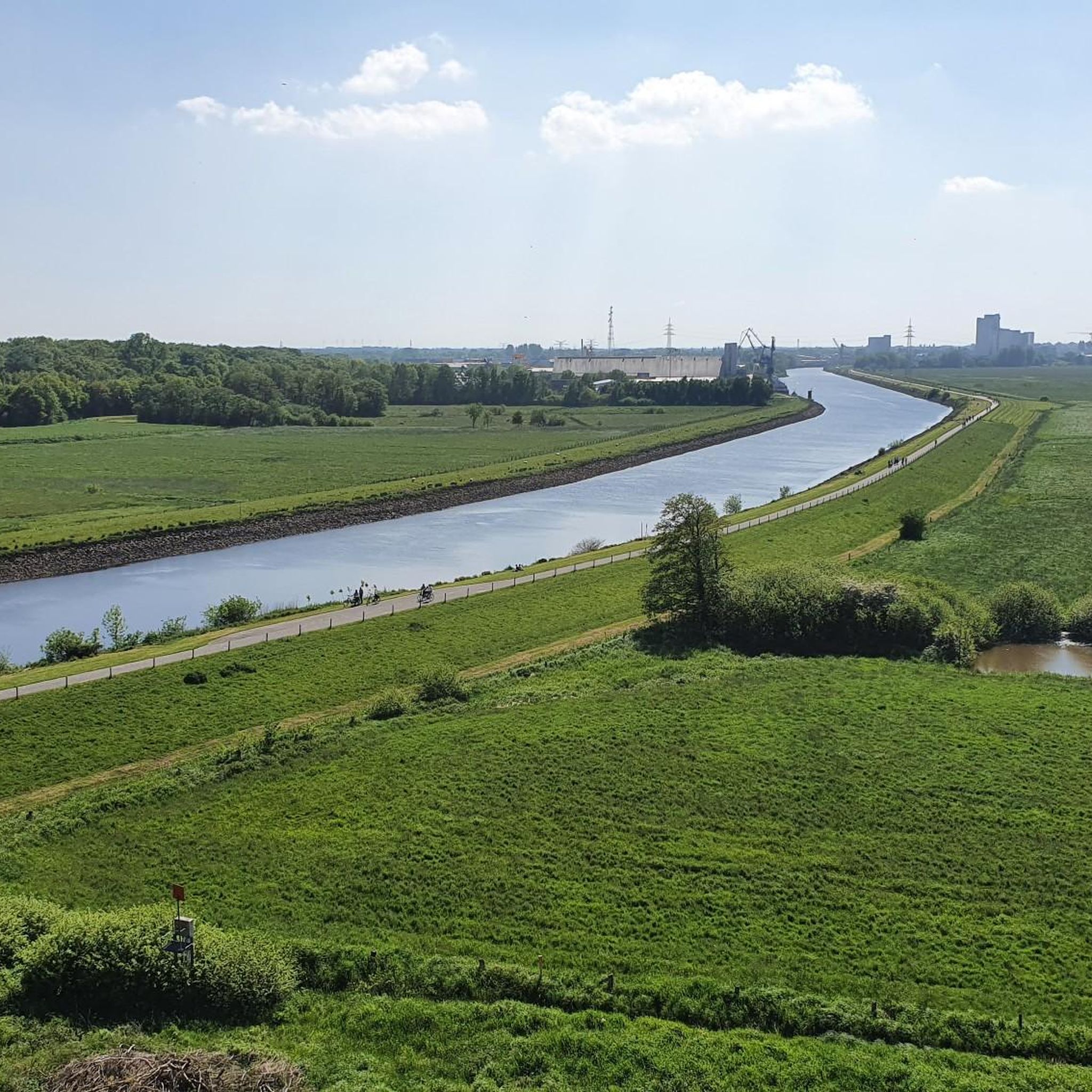
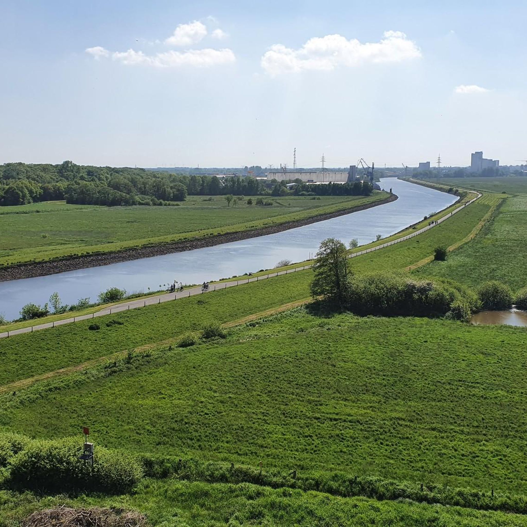
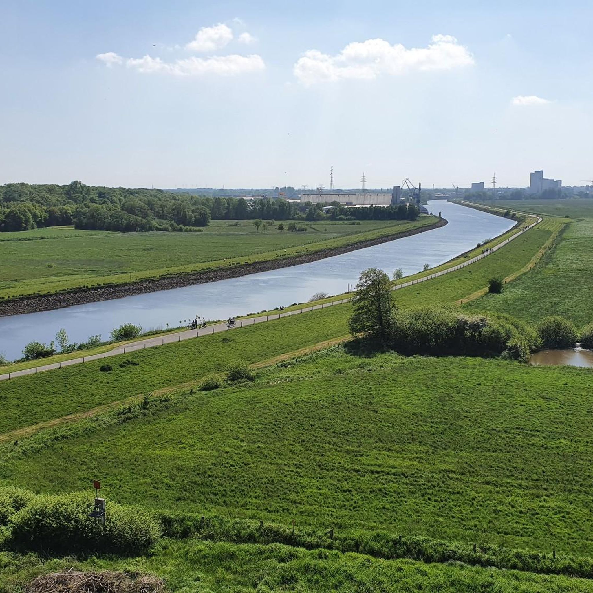
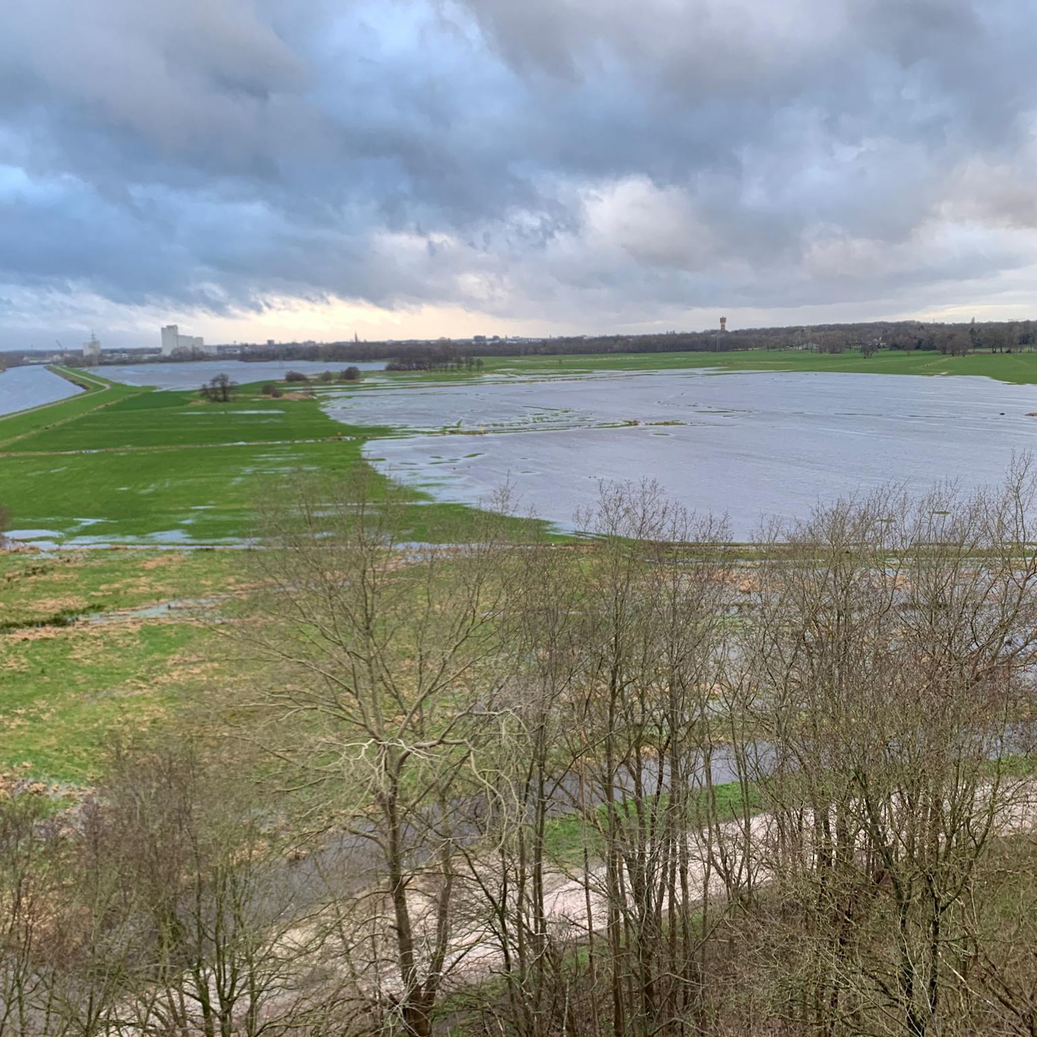
Jogging in Donnerschweer Wiesen offers diverse landscapes characterized by the Hunte River and its surrounding meadows. The region features established paths along the riverbanks, through small wooded areas, and on a former railway dam. These running routes provide a relaxed environment with generally flat terrain and minimal elevation changes. The area extends into the Bornhorster Huntewiesen nature reserve and the Moorhauser Polder, offering expansive green spaces for runners.
Best jogging routes in Donnerschweer Wiesen
- The most popular jogging route is…
Last updated: October 20, 2026
4.5
(6)
92
runners
Hard run. Very good fitness required. Mostly paved surfaces.
5.0
(1)
10
runners
Moderate run. Good fitness required. Mostly paved surfaces.

4.8
(12)
65
runners
6.33km
00:40
20m
20m
Moderate run. Good fitness required. Mostly paved surfaces.
5.0
(3)
45
runners
8.11km
00:51
30m
30m
Moderate run. Good fitness required. Mostly paved surfaces.
4.3
(3)
22
runners
Moderate run. Good fitness required. Mostly paved surfaces.
Get access to more routes and recommendations from other explorers.
Already have an account?
Our route recommendations are based on thousands of hikes, rides, and runs completed by other people on komoot.
Start today with a free account
Your next adventure awaits.

Tips from the Community

🌉 The Amalienbrücke in Oldenburg is an important crossing over the Küstenkanal, just before it flows into the Hunte (or vice versa, depending on the direction of travel).
2
0

A wonderful promenade with plenty of restaurants and cafés. Just a few minutes' walk from the pedestrian zone and the train station, the harbor is a popular meeting place in Oldenburg.
5
1

Welcome to the Diers Farm We're delighted you've found your way to us online. Take a look around our virtual world. Here we'll introduce you to our farm, our team, and our products, and explain how you can have our delicious and fresh Diers milk delivered to your home. We hope you enjoy visiting our website. We're always available to answer any questions or provide suggestions. If you have any questions, please don't hesitate to contact us. Call +49 441 34 222, email us at info(at)diershof.de, or use the contact form. The Diers Family
1
0

The area east of the lake consists of permanent grassland typical of (old) marshland, extends over five kilometers to the east, and is largely protected as the Bornhorster Huntewiesen (Bornhorst Hunte Meadows). To the west, just 150 meters from the lakeshore and then further beyond the motorway, the land rises to the Oldenburg Geest, so that Groß Bornhorst and Klein Bornhorst are already 12 to 15 meters above sea level. Northwest of the lake, on either side of the motorway, lie two forest areas totaling 10 hectares. In contrast to the Großer Bornhorster See, the Kleiner Bornhorster See has two (albeit small) islands. The larger island, approximately 2,000 m² in size, is located on the northern shore in a corner of the lake, while the tiny island on the southern shore is only about 100 m² in size. Both islands have dense tree cover.
3
0
The Kleiner Bornhorster See is located in the low-lying marshland within the "Oldenburg-Rasteder Geestrand" nature reserve. Great crested grebes and other waterfowl breed at the Kleiner Bornhorster See. The area is particularly notable for its high density of breeding pairs of nightingales. The NABU (Nature and Biodiversity Conservation Union) organizes ongoing monitoring of breeding and resting birds in the lake area.
3
0
The Kleiner Bornhorster See (Little Bornhorst Lake) covers 20 hectares and has a circumference of approximately two kilometers. It is one of the larger lakes in the Oldenburg urban area and the surrounding area. It is almost circular in shape and measures just under 500 meters north-south, with the east and west shores up to 600 meters apart. To the north, a small peninsula juts out into the lake, forming a kind of lake angle. The lake lies 0 meters above sea level. On the west shore, there is a sandy beach approximately 150 meters long and up to 40 meters wide, as well as numerous sunbathing areas. The Kleiner Bornhorster See is an official swimming lake monitored by the DLRG (German Lifesaving Association). 400 meters south of it lies the Grosser Bornhorster See, which is more than twice as large. The A29 federal highway runs between the Kleiner Bornhorster See and Groß Bornhorst or Etzhorn, just 200 meters from the west shore. The lake owes its existence to the expressway ring around Oldenburg: the soil taken from the lake was needed to build the ramp to the Hunte high bridge as well as the embankments of the A 293 and the northern bypass.
2
0
The Kleiner Bornhorster See is a gravel pit lake in the eastern part of Oldenburg (Oldenburg), not far from the border with the Wesermarsch district, which runs only about 500 meters northeast. However, it is already outside of Oldenburg's dense urban development. The lake is located near the small village of Groß Bornhorst and the Oldenburg district of Etzhorn, both west of the lake. The Hunte River flows three kilometers south of it.
2
0

An ideal training area for runners, one lap is just over 3 km long. Great asphalt and diverse natural scenery.
4
0
Frequently Asked Questions
How many running routes are available in Donnerschweer Wiesen?
Donnerschweer Wiesen offers a wide selection of running routes, with over 1,000 tours available. These include a variety of options, from easy paths to more challenging trails, ensuring there's something for every runner.
What kind of terrain can I expect on the jogging paths in Donnerschweer Wiesen?
The jogging paths in Donnerschweer Wiesen feature diverse terrain, including picturesque paths along the Hunte River, routes through small wooded areas, and sections of a former railway dam. The area is generally flat with minimal elevation changes, providing a relaxed environment for running.
Are there options for different fitness levels, including beginners?
Yes, Donnerschweer Wiesen caters to all skill levels. You'll find a good mix of routes, including 191 easy trails perfect for beginners or a relaxed run, 771 moderate options, and 131 more difficult routes for experienced runners looking for a challenge.
What do other runners enjoy most about the trails in Donnerschweer Wiesen?
The trails in Donnerschweer Wiesen are highly rated by the komoot community, with an average score of 4.4 stars from over 800 reviews. Runners often praise the diverse landscapes, the relaxed environment away from main roads, and the scenic paths along the Hunte River.
Are there any scenic viewpoints or landmarks along the running routes?
Absolutely. While running, you can enjoy several notable landmarks and viewpoints. These include the impressive Hunte Bridge, offering panoramic views, and the Old Railway Embankment of the Braker Bahn, which provides a unique path. Don't miss the View of the Hunte Bridge for a great photo opportunity.
Can I find routes suitable for a quick run, say around 30-40 minutes?
Yes, the region offers several routes ideal for a shorter run. For example, the Diers Cheese Dairy – Point 2 loop from Oldenburg (Oldb) Hbf is a moderate 6.4 km path that can often be completed in under 40 minutes, providing a relaxed environment for a quick workout.
Are the running trails in Donnerschweer Wiesen suitable for families?
Many of the routes in Donnerschweer Wiesen are suitable for families, especially the easier, flatter paths away from main roads. The diverse landscapes and natural features like the Hunte River offer an enjoyable outdoor experience for all ages.
Are dogs allowed on the jogging paths?
Yes, Donnerschweer Wiesen is generally dog-friendly. Many paths, particularly those along the Hunte River and through the open meadows, are suitable for running with your dog. Please ensure your dog is kept under control and respect any local signage regarding leash requirements or restricted areas.
Are there circular running routes available in the area?
Yes, many of the running options in Donnerschweer Wiesen are designed as circular routes, allowing you to start and finish at the same point. An example is the Sheep by the Hunte – Hunte Riverside Path loop from Donnerschwee, which offers a scenic 5.4 km loop.
What are some longer running options for more advanced runners?
For those seeking a longer challenge, the Hunte Riverside Path – Hunte Bridge loop from Oldenburg is an excellent choice. This 13.6 km trail follows the Hunte River and offers views of the Huntebrücke, typically taking about 1 hour 25 minutes to complete.
How can I get to the Donnerschweer Wiesen running areas using public transport?
Donnerschweer Wiesen is accessible via public transport, particularly from Oldenburg. Routes often start near central locations like Oldenburg (Oldb) Hbf, making it convenient to reach the running trails without a car. Check local bus schedules for the most direct connections to the trailheads.
Are there parking facilities near the jogging trails?
Yes, there are parking options available near the jogging trails in Donnerschweer Wiesen. Specific parking areas can be found close to popular access points, especially around the Hunte River and the starting points of various routes. It's advisable to check route details for precise parking information.
Are there any unique natural features to explore while running?
Beyond the Hunte River, the Donnerschweer Wiesen extend into the Bornhorster Huntewiesen Nature Reserve and the Moorhauser Polder. These areas offer expansive green spaces and contribute to the natural beauty, providing a refreshing backdrop for your run. You can also spot the Donnerschweer Meadows on the Hunte.
Most popular routes in Donnerschweer Wiesen
Most popular attractions in Donnerschweer Wiesen

Get inspired with the komoot mobile app


Explore more
Browse the best Running Trails & Routes in other regions.
