The best road cycling routes in Fintlandsmoor Und Dänikhorster Moor
4.5
(279)
3,598
riders
269
rides
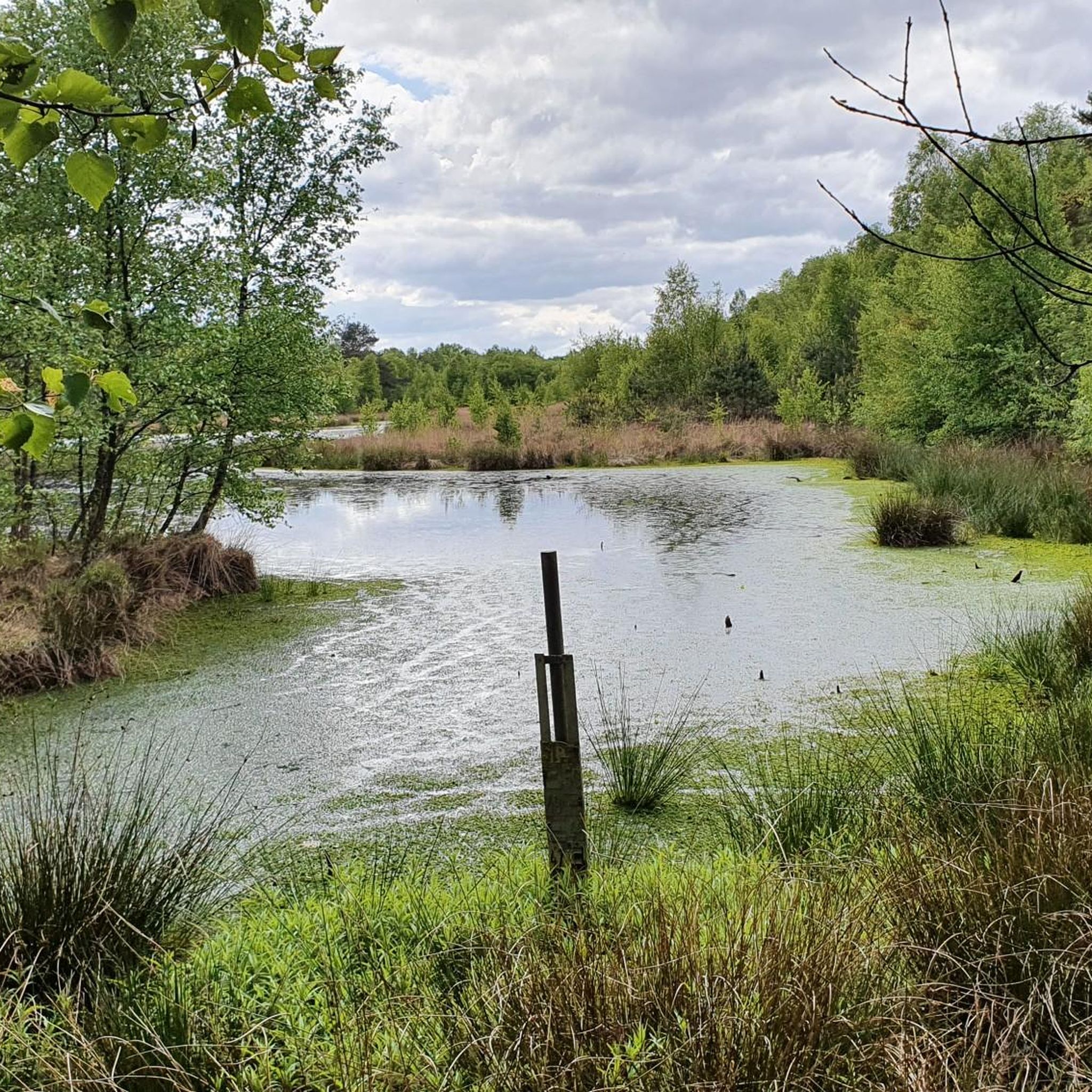
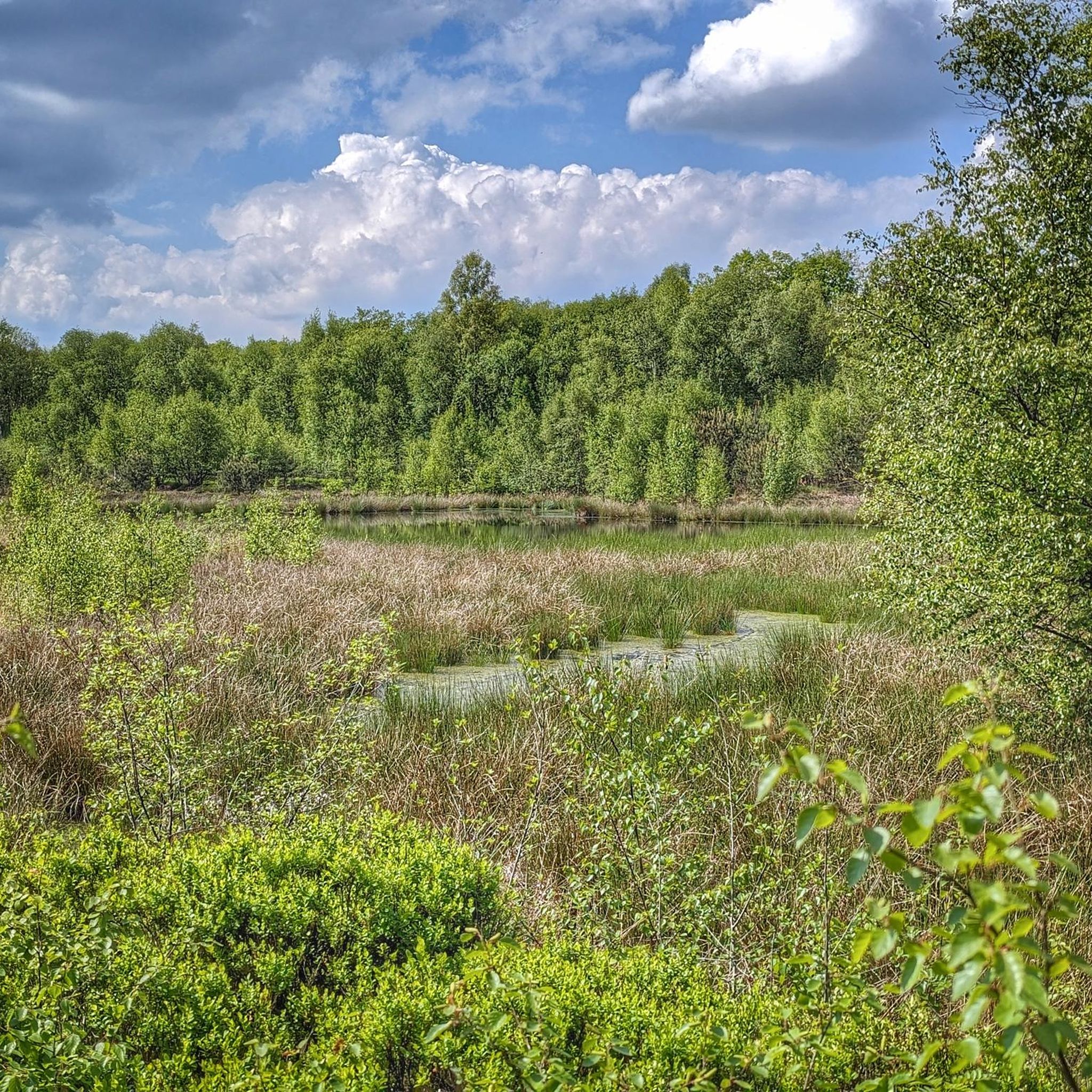
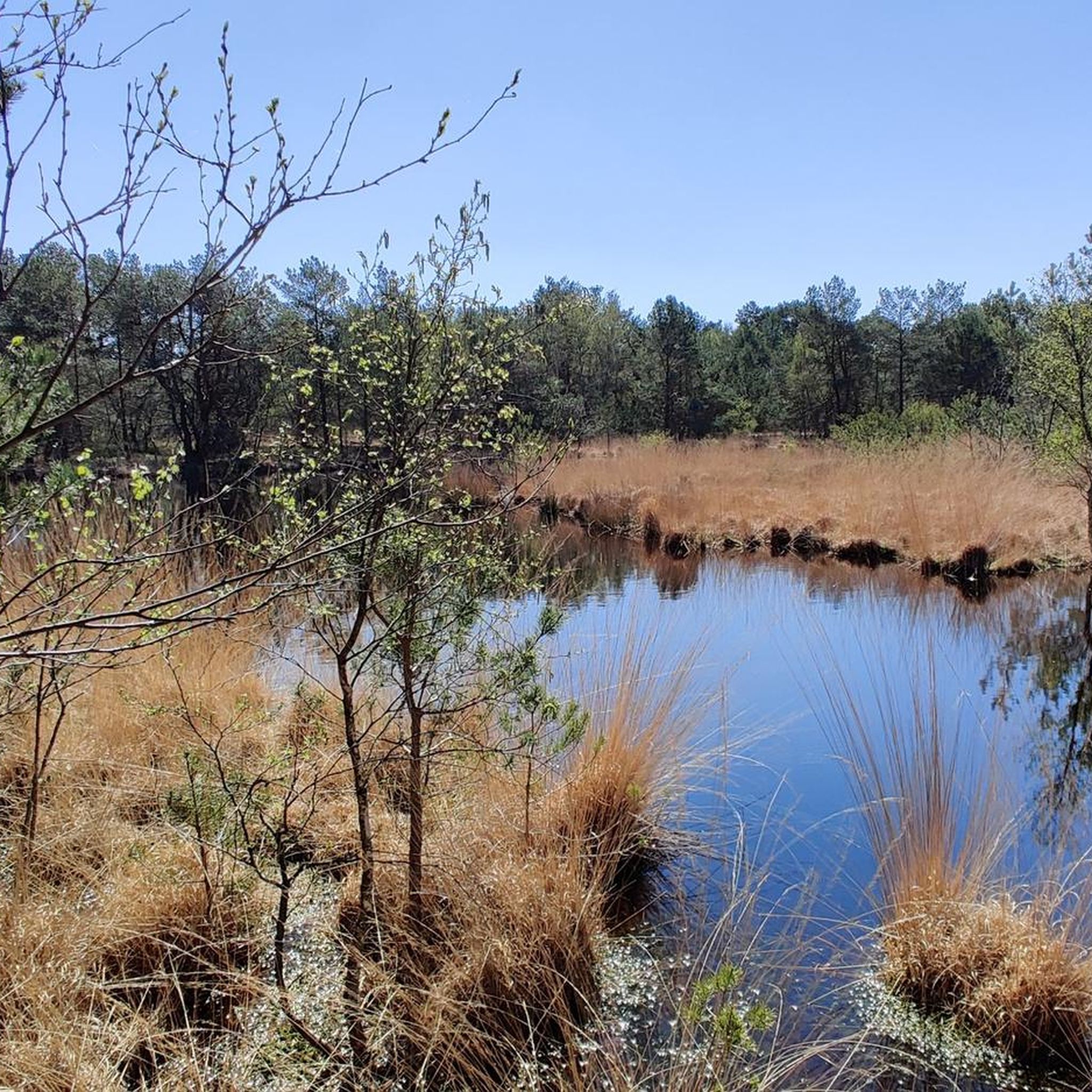
Road cycling routes in Fintlandsmoor Und Dänikhorster Moor traverse a distinctive landscape characterized by remnants of a largely drained raised bog. The terrain is predominantly flat, making it suitable for road cycling. Features include moor forests dominated by birch trees, open heathlands with diverse vegetation, and wet grasslands. The area is also shaped by ditches and canals, such as the Dänikhorster Moorkanal, which contribute to its unique character.
Best road cycling routes in Fintlandsmoor Und Dänikhorster Moor
- The most popular…
Last updated: October 5, 2026
3.5
(2)
19
riders
Moderate road ride. Good fitness required. Some segments of this route may be unpaved and difficult to ride.
4.0
(2)
12
riders
120km
05:19
160m
160m
Hard road ride. Very good fitness required. Some segments of this route may be unpaved and difficult to ride.

8
riders
Moderate road ride. Great for any fitness level. Some segments of this route may be unpaved and difficult to ride.
5.0
(3)
8
riders
Easy road ride. Great for any fitness level. Mostly well-paved surfaces and easy to ride.
10
riders
Moderate road ride. Great for any fitness level. Some segments of this route may be unpaved and difficult to ride.
Get access to more routes and recommendations from other explorers.
Already have an account?
Our route recommendations are based on thousands of hikes, rides, and runs completed by other people on komoot.
Start today with a free account
Your next adventure awaits.
Tips from the Community

It's really nice to cycle in the surroundings of the Jümme, but one should consider the wind and the fact that there are mostly no cycle paths here and you have to ride on the roads. However, the traffic density here is not high and the views are impressive.
0
0
The approximately 75-hectare nature reserve "Aper Tief" lies south of the river of the same name between Apen and Augustfehn in the Ammerland district. Through a spectacular dike relocation in 2005, a unique, tide-dependent floodplain landscape with the only freshwater mudflat in the northwest was created here.
0
0

Delicious coffee and cake are available here
4
0

The Sagter Ems originates from the confluence of the Marka and Ohe rivers in Neuscharrel. The confluence point is located just before the southern bank of the Küstenkanal (Coastal Canal), which the Sagter Ems flows under. The Sagter Ems then traverses the Saterland region from south to north, flowing through the villages of Sedelsberg, Scharrel, Ramsloh, Strücklingen, and Bokelesch. Near the hamlet of Roggenberg, the Elisabethfehn Canal flows into the Sagter Ems. From this point until its confluence with the Dreyschloot canal at the border with East Frisia, the Sagter Ems is a federal waterway for 0.56 km,[3] under the jurisdiction of the Ems-Nordsee Waterways and Shipping Authority. The Dreyschloot, artificially constructed between 1848 and 1852, connects to the Barßeler Tief canal and the Jümme river. In East Frisia, the Sagter Ems is known as the Leda. [3] The Leda River, together with the Jümme River, forms the scenic Leda-Jümme region. The Jümme flows into the Leda near Wiltshausen, and shortly thereafter, the Leda flows into the Ems River near Leer (East Frisia). Due to the indirect connection to the North Sea via the Leda and Ems rivers, significant tidal variations can still be observed in the Sagter Ems.
0
0

The two-story gallery windmill from 1811 in the middle of the spa park offers an impressive sight.
1
0


Frequently Asked Questions
How many road cycling routes are available in Fintlandsmoor Und Dänikhorster Moor?
There are over 260 road cycling routes in Fintlandsmoor Und Dänikhorster Moor, offering a wide range of options for cyclists. These include 74 easy routes and 191 moderate routes, catering to various skill levels.
What kind of scenery can I expect while road cycling in Fintlandsmoor Und Dänikhorster Moor?
The region offers diverse scenery, characterized by remnants of a largely drained raised bog. You'll cycle through moor forests dominated by birch trees, open heathlands with vibrant vegetation like rosemary and heather, and wet grasslands. The landscape is also shaped by numerous ditches and canals, such as the Dänikhorster Moorkanal, adding to its unique character.
What is the best time of year for road cycling in Fintlandsmoor Und Dänikhorster Moor?
The moorland landscape is particularly beautiful during spring and late summer/early autumn. Spring brings fresh greenery and blooming plants, while late summer and early autumn showcase the vibrant colors of the heathlands. The flat terrain makes it enjoyable in most weather conditions, but checking local forecasts is always recommended.
Are the road cycling routes in Fintlandsmoor Und Dänikhorster Moor mostly paved?
Yes, the region is known for its well-developed network of cycle trails, with many routes featuring mostly paved surfaces. This makes the area ideal for road cycling, ensuring a smooth ride through the distinctive moor and 'geest' landscapes.
What do other road cyclists enjoy most about cycling in Fintlandsmoor Und Dänikhorster Moor?
The area is highly rated by the komoot community, with an average score of 4.4 stars from over 200 reviews. Cyclists often praise the tranquil moorland farms, lush meadows, and narrow canals and streams, as well as the well-maintained, mostly flat paths that make for enjoyable rides.
Are there any circular road bike routes in Fintlandsmoor Und Dänikhorster Moor?
Yes, many routes in the region are designed as loops, allowing you to start and end at the same point. For example, the Bad Zwischenahner Meer – Zwischenahner Meer loop from Dänikhorst is a popular moderate route that takes you through varied landscapes.
What can I see along the road cycling routes in Fintlandsmoor Und Dänikhorster Moor?
Along the routes, you can explore natural features typical of high moors. Notable attractions include the Fintlandsmoor and Dänikhorster Moor itself, the Reihertief Wetland, and the Fintlandsmoor Nature Reserve. You might also encounter unique sights like the Dänikhorster Moor — View of Dead Birch Trees.
Is Fintlandsmoor Und Dänikhorster Moor suitable for family-friendly cycling?
Yes, the predominantly flat terrain and extensive network of mostly paved cycle paths make Fintlandsmoor Und Dänikhorster Moor very suitable for family-friendly cycling. Many routes are described as 'easy bike rides,' perfect for all skill levels.
Are there options for parking when cycling in Fintlandsmoor Und Dänikhorster Moor?
While specific parking locations are not detailed in every route description, the region is generally well-equipped for visitors. Look for designated parking areas near trailheads or popular starting points in towns surrounding the moor, such as Dänikhorst or Westerstede-Ocholt.
How can I reach Fintlandsmoor Und Dänikhorster Moor by public transport for cycling?
Public transport options to the Fintlandsmoor Und Dänikhorster Moor area typically involve regional bus services connecting from larger towns like Westerstede or Bad Zwischenahn. It's advisable to check local bus schedules and bicycle transport policies in advance, as services can vary.
Are there cafes or restaurants near the road cycling routes?
Yes, while cycling through the tranquil moorland, you'll find opportunities to stop at cafes and restaurants in the surrounding villages and towns. These establishments offer a chance to refuel and experience local hospitality.
What are the typical distances of road cycling routes in the area?
The road cycling routes in Fintlandsmoor Und Dänikhorster Moor vary in length, with many popular options ranging from approximately 20 km to over 50 km. For instance, the Muscle Tour Westerstede – Torsholter Cycle Path loop is around 27 km, while the Dreyschloot Bridge – Aper Tief viewing platform loop extends to about 50 km.
Are there any routes with significant elevation changes in Fintlandsmoor Und Dänikhorster Moor?
The Fintlandsmoor Und Dänikhorster Moor region is characterized by its predominantly flat terrain, being a former raised bog. Therefore, you will find minimal elevation changes on the road cycling routes, making it ideal for relaxed rides without challenging climbs. Most routes have less than 100 meters of elevation gain.
Most popular routes in Fintlandsmoor Und Dänikhorster Moor
Most popular attractions in Fintlandsmoor Und Dänikhorster Moor

Get inspired with the komoot mobile app


Explore more
Browse the best Road cycling routes in other regions.
