The best walks and hikes in Asselersand
4.5
(1063)
5,349
hikers
295
hikes
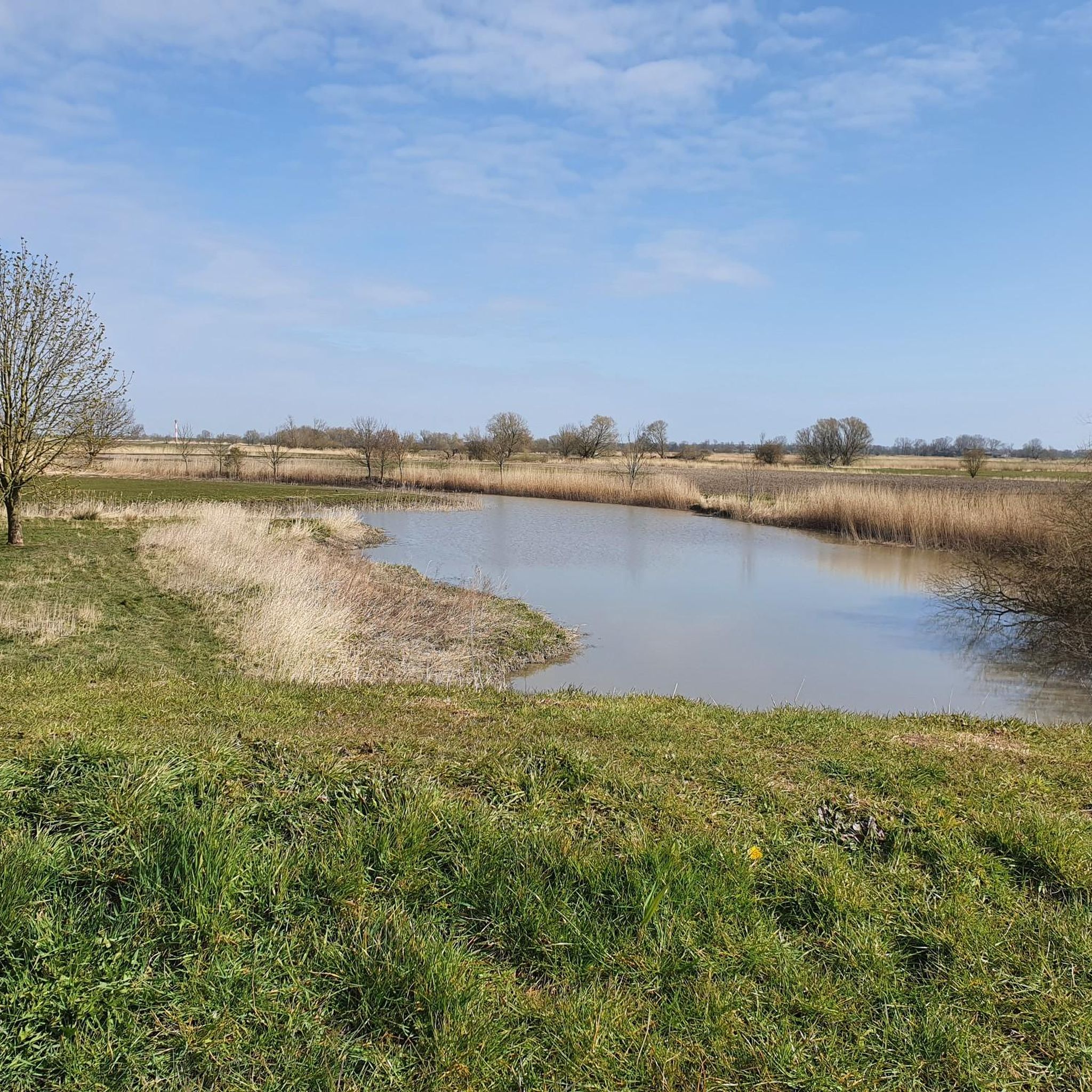
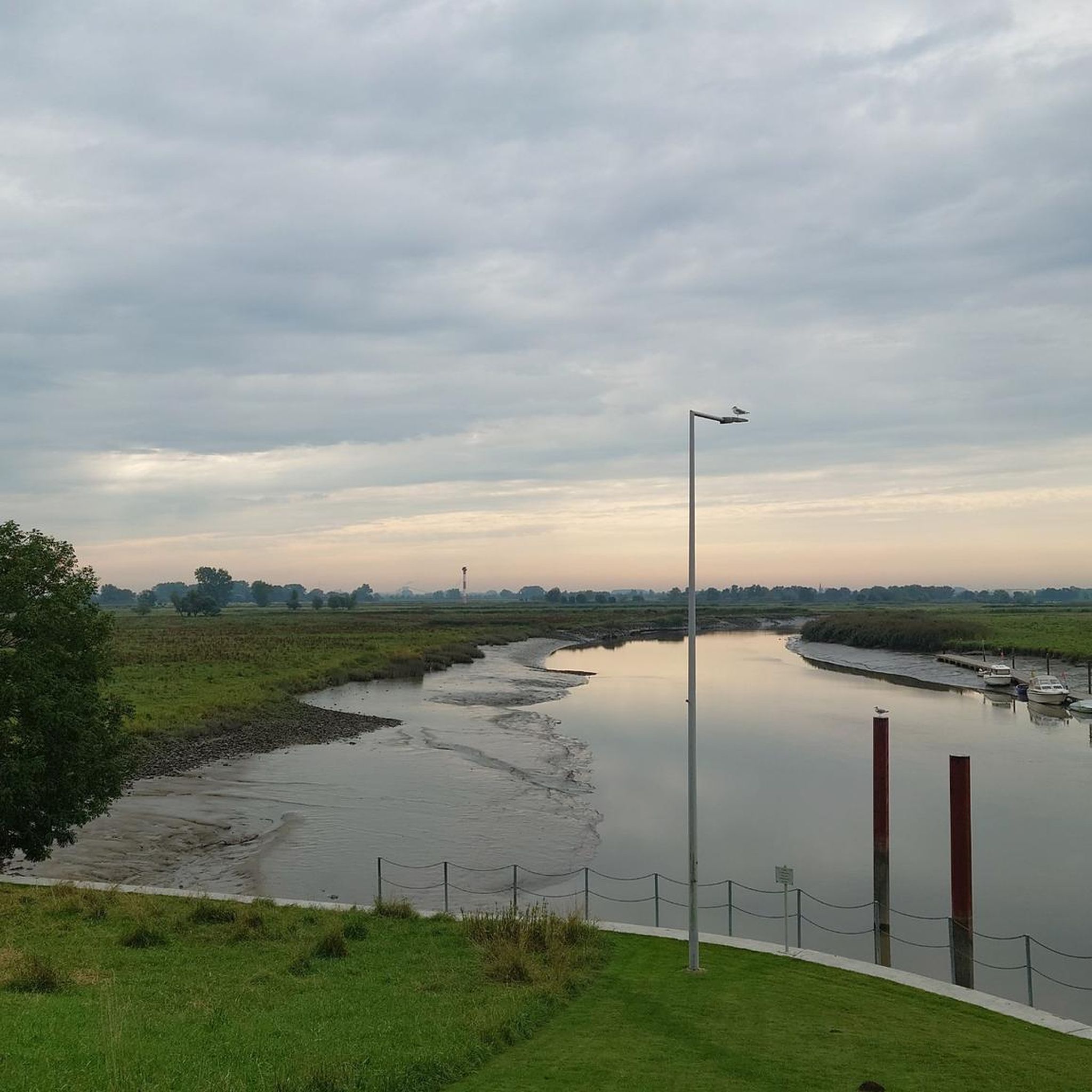
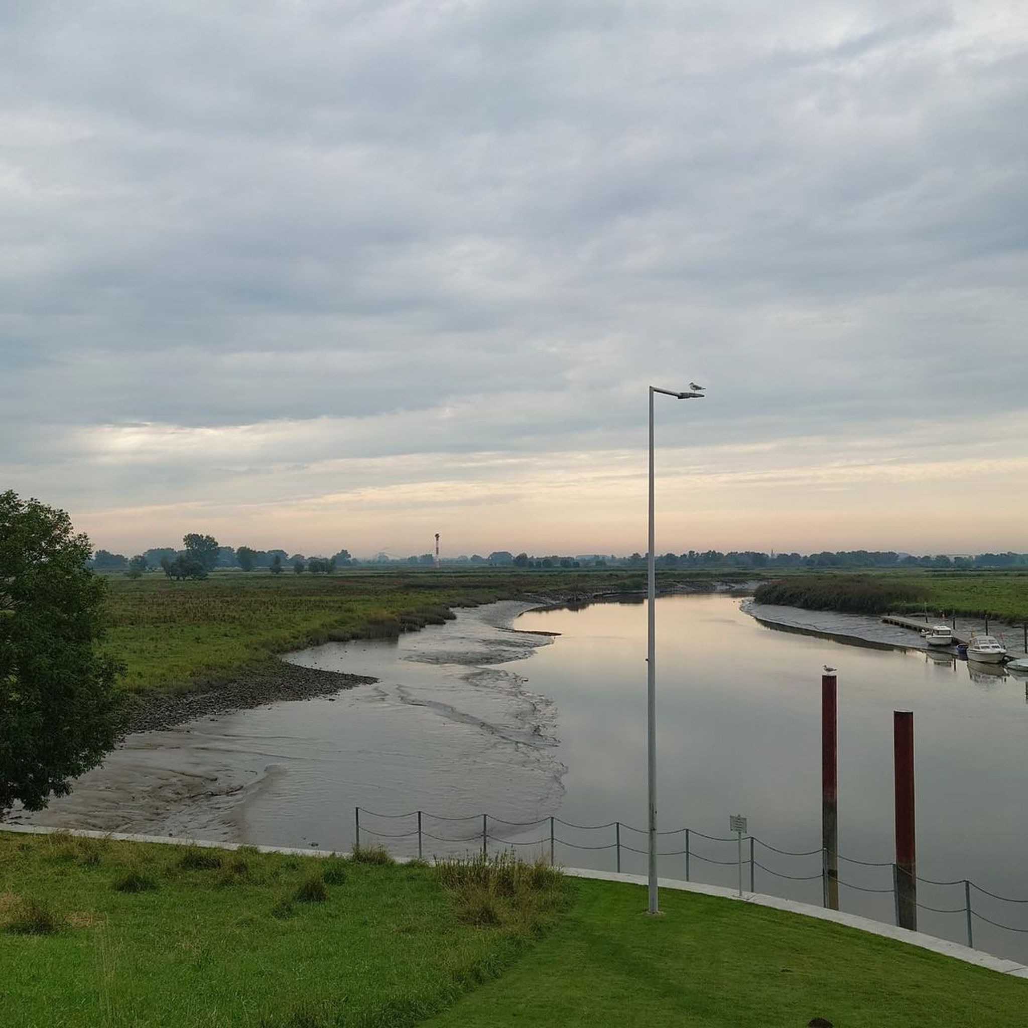
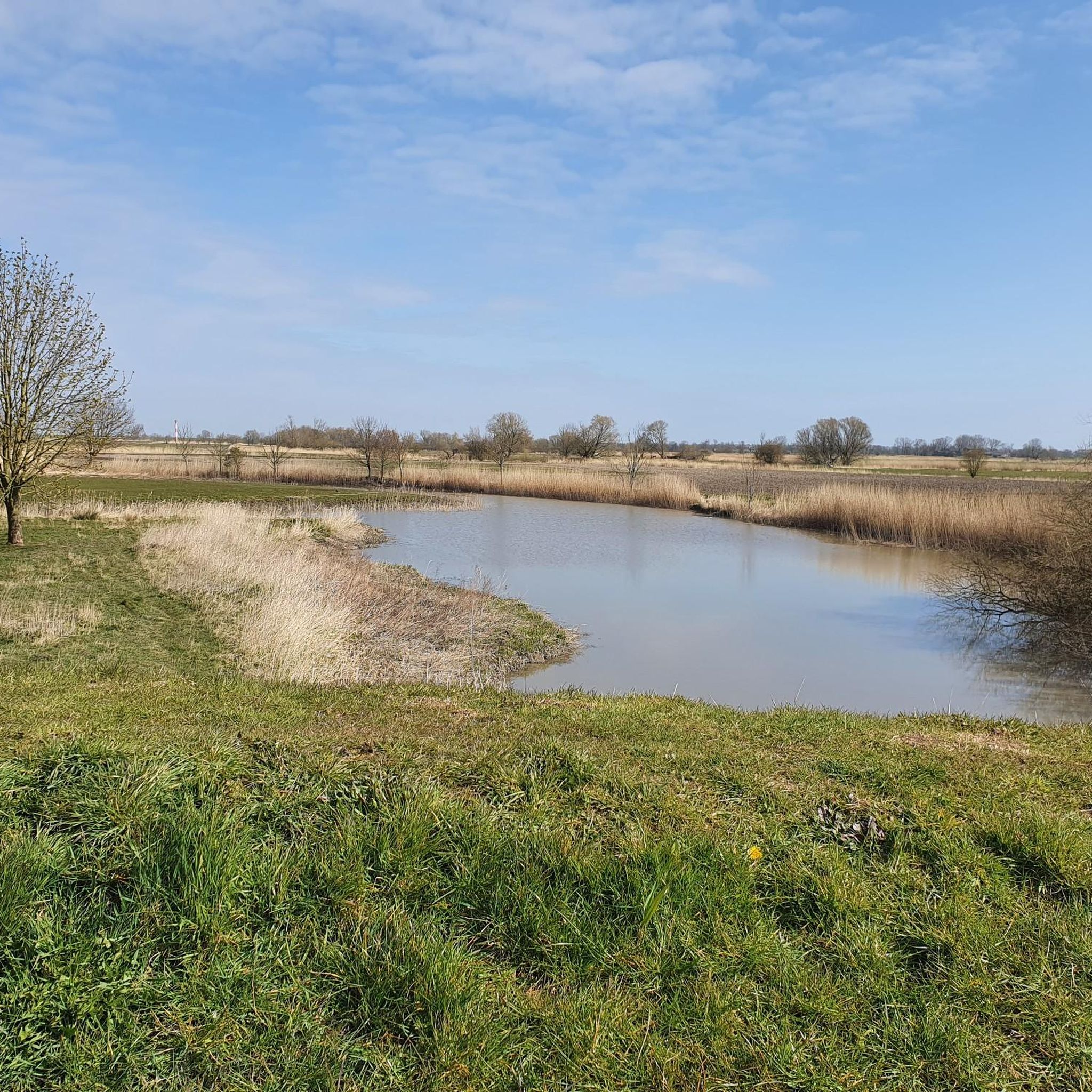
Hiking in Asselersand offers routes through an expansive marshland landscape within the Elbe estuary. The region is characterized by state protection dikes, which divide the area into outer and inner zones, featuring green spaces, orchards, and reed-fringed ditches. Outer dike areas consist of marshy grasslands influenced by tidal changes. Asselersand is also a designated nature reserve, providing habitat for migratory and breeding birds.
Best hiking trails in Asselersand
- The most popular hiking route is Ruthenstrom Barrage – Assel Harbor loop…
Last updated: September 30, 2026
4.5
(4)
24
hikers
12.3km
03:06
10m
10m
Moderate hike. Good fitness required. Easily-accessible paths. Suitable for all skill levels.
4.9
(11)
41
hikers
6.06km
01:31
10m
10m
Easy hike. Great for any fitness level. Easily-accessible paths. Suitable for all skill levels.

4.2
(5)
30
hikers
Easy hike. Great for any fitness level. Easily-accessible paths. Suitable for all skill levels.
11
hikers
4.15km
01:03
0m
0m
Easy hike. Great for any fitness level. Easily-accessible paths. Suitable for all skill levels.
5.0
(3)
6
hikers
Easy hike. Great for any fitness level. Easily-accessible paths. Suitable for all skill levels.
Get access to more routes and recommendations from other explorers.
Already have an account?
Our route recommendations are based on thousands of hikes, rides, and runs completed by other people on komoot.
Start today with a free account
Your next adventure awaits.
Tips from the Community

Interesting - you can also watch ships well - take a break
0
0

Free parking 😀, a great cycle path and hiking trail leads here through beautiful nature along the dike. In the immediate vicinity is Fort Grauer Ort. Events are regularly held there. A large motorhome parking space is available. In the summer months, there is a flea market on the first Sunday of every month. No registration is necessary for a parking space. Opposite on the right side, there is a great Elbe beach with a wide view of the Elbe. In spring, the sheep are also on the dike. A precise date cannot be given.
1
0
A great cycling and hiking trail leads along here amidst beautiful nature on the dike.
1
1
Drive or walk along Abenflether Hafenstraße and you will reach the Abbenfleth barrage at the end of the street. A great cycling route and hiking trails run along here.
1
0
A great cycling and hiking trail leads along the Asseler dike amidst beautiful nature.
1
0
Great view of the Elbe near Krautsand. A great bike path and hiking trails lead along here amidst beautiful nature. 😜
3
0
A great hiking trail leads along here amidst beautiful nature 💚.
3
1
A wonderful walk on the beach in December 2025 in glorious sunny weather. A visit is recommended at any time of year. A major renovation is currently taking place here on Krautsand beach.
2
0
Frequently Asked Questions
How many hiking trails are available in Asselersand?
Asselersand offers a wide variety of hiking opportunities, with nearly 300 routes to explore. These trails cater to different preferences, ranging from easy strolls through the marshlands to more moderate excursions along the dikes.
What kind of terrain can I expect on hikes in Asselersand?
The terrain in Asselersand is primarily characterized by expansive marshland within the Elbe estuary. You'll find paths running along scenic dikes, which divide the area into outer and inner zones. Expect marshy grasslands, reed-fringed ditches, and some scattered orchards, offering mostly flat and accessible paths suitable for various fitness levels.
Are there any family-friendly hiking options in Asselersand?
Yes, Asselersand has many easy routes suitable for families. For instance, the Assel Harbor – Asselersand Lake loop from Assel is an easy 3.8-mile (6.1 km) path that provides access to the Asselersand Lake and surrounding marshland scenery, perfect for a leisurely family outing.
Can I bring my dog on the hiking trails in Asselersand?
Many of the trails in Asselersand are suitable for dogs, especially those along the dikes and through the open marshlands. However, as Asselersand is a designated nature reserve and an important resting area for migratory birds, it's crucial to keep dogs on a leash to protect the local wildlife and ensure a pleasant experience for all visitors.
What are some notable landmarks or natural features to see while hiking in Asselersand?
While hiking in Asselersand, you can encounter several interesting features. The Ruthenstrom Flood Barrier (Ruthenstromsperrwerk) is a significant landmark built to protect the area from storm surges. You might also spot the Ruthensand Lower Lighthouse, which guides ships. The entire area is a nature reserve, so keep an eye out for migratory birds, especially barnacle geese during spring migration.
Are there circular hiking routes available in Asselersand?
Yes, Asselersand offers several popular circular hiking routes. A great option is the Flood Memorial at Assel Museum – Assel Harbor loop from Assel, an easy 4.5 km (2.8 miles) trail that allows you to experience the local history and scenery in a convenient loop.
Where can I park when visiting Asselersand for a hike?
Parking is generally available at common starting points for trails, such as near Assel Harbor or other access points to the dike paths. Specific parking information can often be found on individual route descriptions on komoot, or by checking local signage upon arrival.
What is the best time of year to go hiking in Asselersand?
Asselersand is beautiful year-round, but spring and autumn are particularly rewarding. In spring, you can witness the arrival of migratory birds, especially barnacle geese. The mild weather in these seasons makes for comfortable hiking. Summer offers longer daylight hours, while winter can provide a unique, tranquil experience of the marshland, though some paths might be muddy.
What do other hikers enjoy most about hiking in Asselersand?
The area is highly rated by the komoot community, with an average score of 4.5 stars from over 900 reviews. Hikers often praise the tranquil marshland scenery, the accessible dike paths offering expansive views, and the rich birdlife. The sense of peace and connection with nature in this unique Elbe estuary landscape is frequently highlighted.
Are there any easy hiking trails for beginners in Asselersand?
Absolutely. Asselersand is well-suited for beginners and those looking for easy walks. An excellent choice is the Krautsand Pier – Krautsand Beach loop from Schilf- und Wasserfläche Krautsand / Ostende, an easy 3.0-mile (4.8 km) trail that leads through the Elbe estuary's marshy grasslands and is typically completed in just over an hour.
How can I get to Asselersand using public transport?
While specific public transport options directly to all trailheads might be limited, regional bus services often connect nearby towns like Drochtersen or Stade. From these points, you might need to walk or use a local taxi service to reach the main hiking areas in Asselersand. It's advisable to check local bus schedules for the 'Stade' district for the most up-to-date information.
What kind of wildlife can I expect to see in Asselersand?
Asselersand is a designated nature reserve and an internationally recognized wetland, making it a haven for wildlife, especially birds. You can expect to see various grassland, water, and reed birds. It's a crucial resting area for migratory birds, particularly barnacle geese during their spring migration. Keep an eye out for the unique fritillary flowers as well.
Most popular routes in Asselersand
Most popular attractions in Asselersand

Get inspired with the komoot mobile app


Explore more
Browse the best Hikes in other regions.
