The best running trails in Naturschutzgebiet Unteres Estetal
4.4
(392)
7,724
runners
662
runs
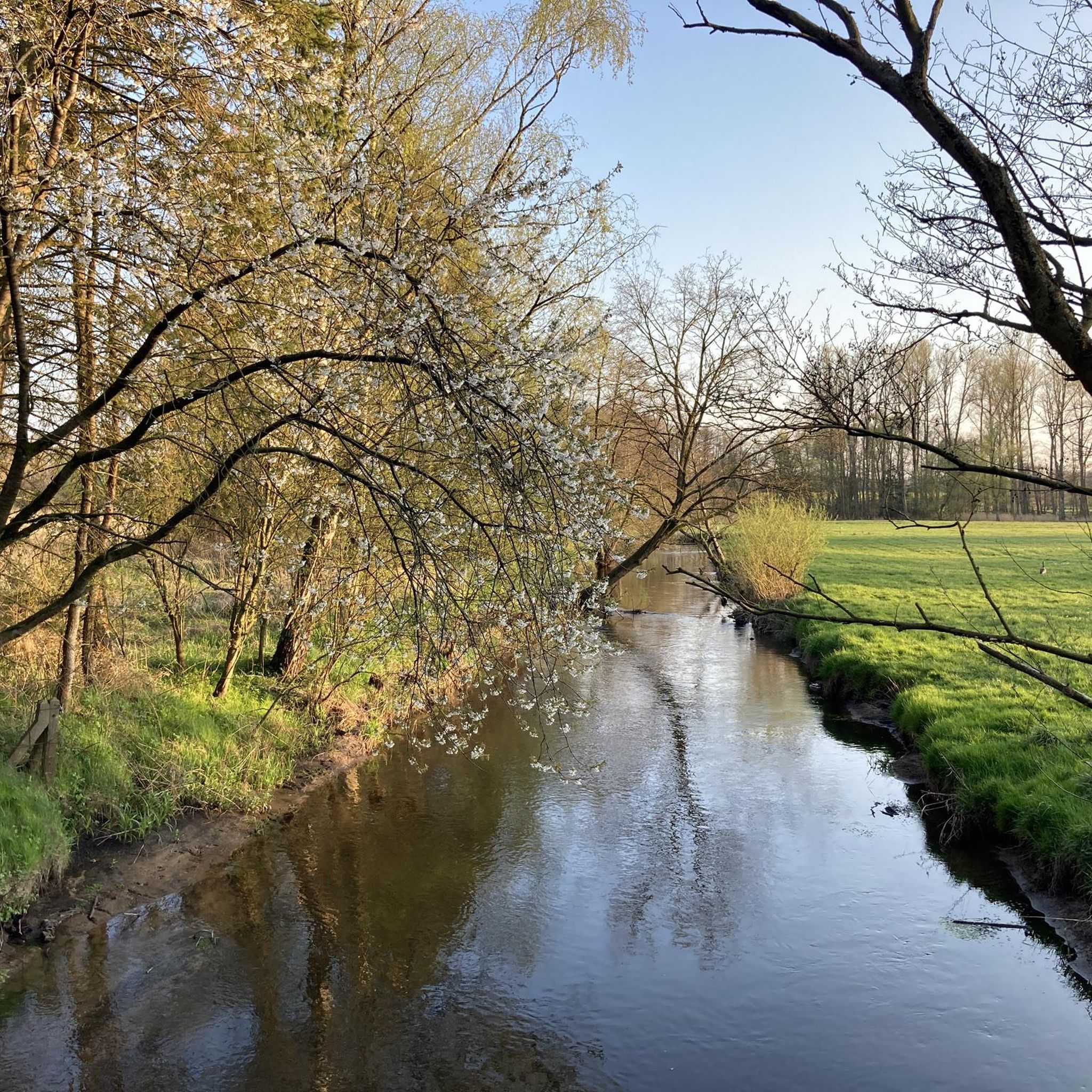
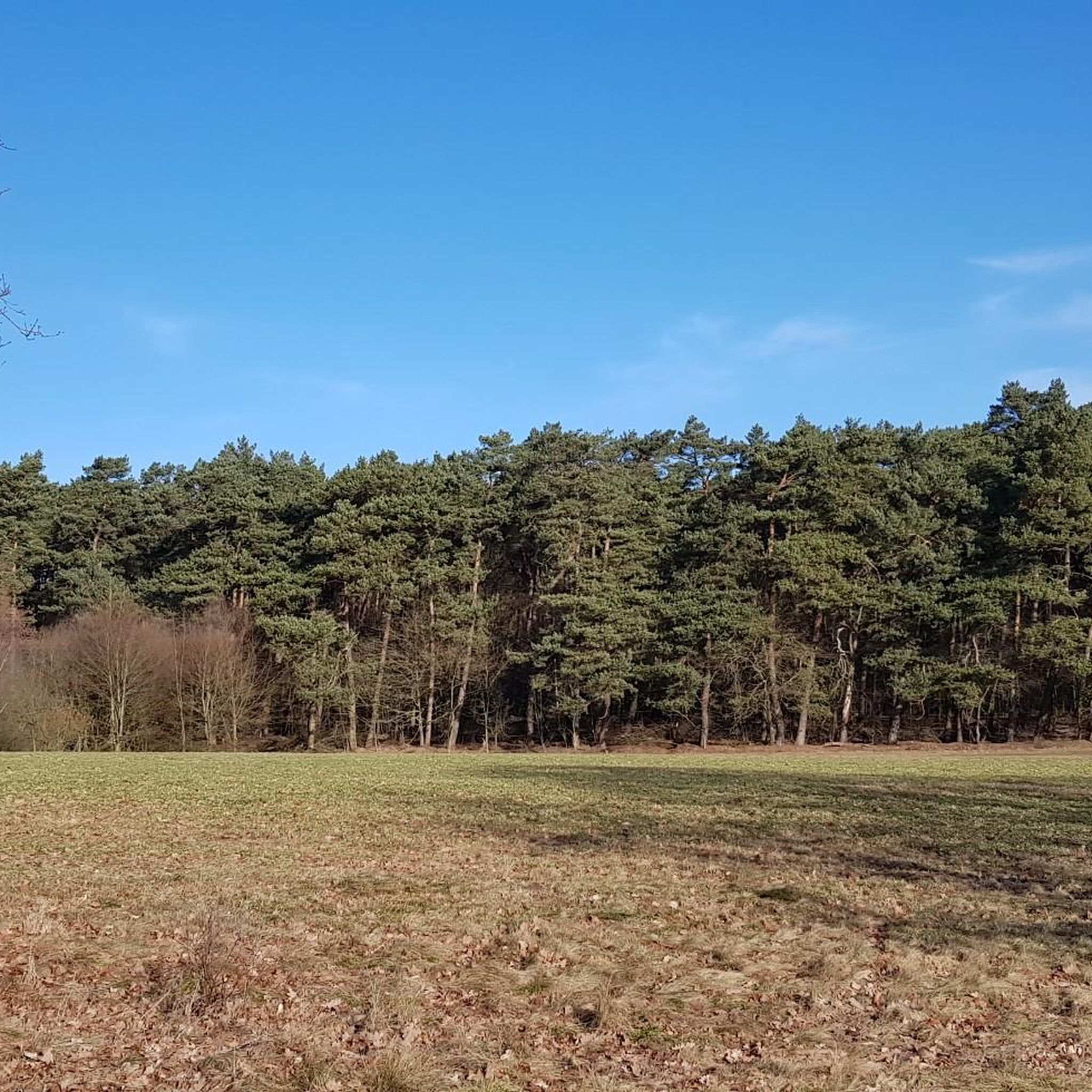
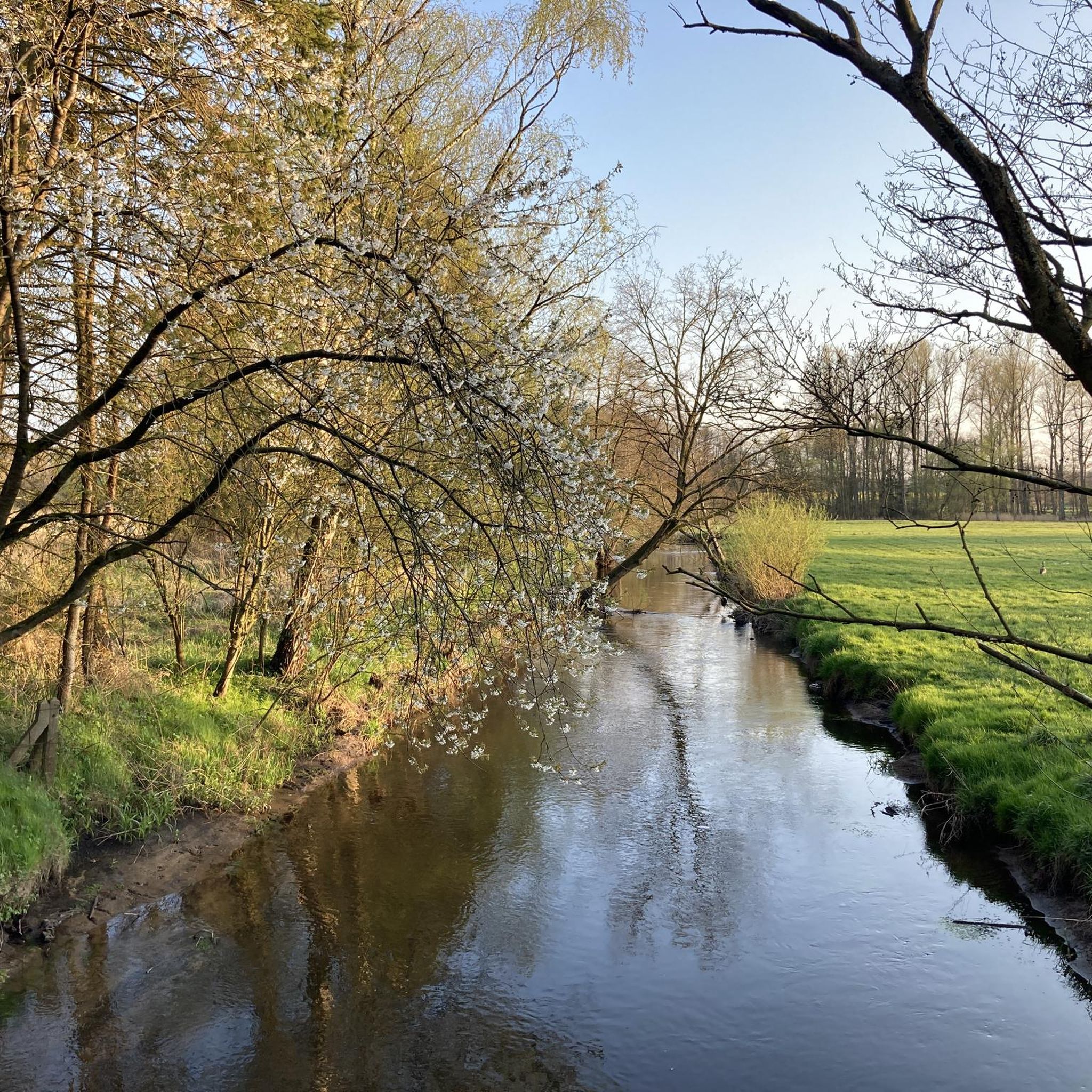
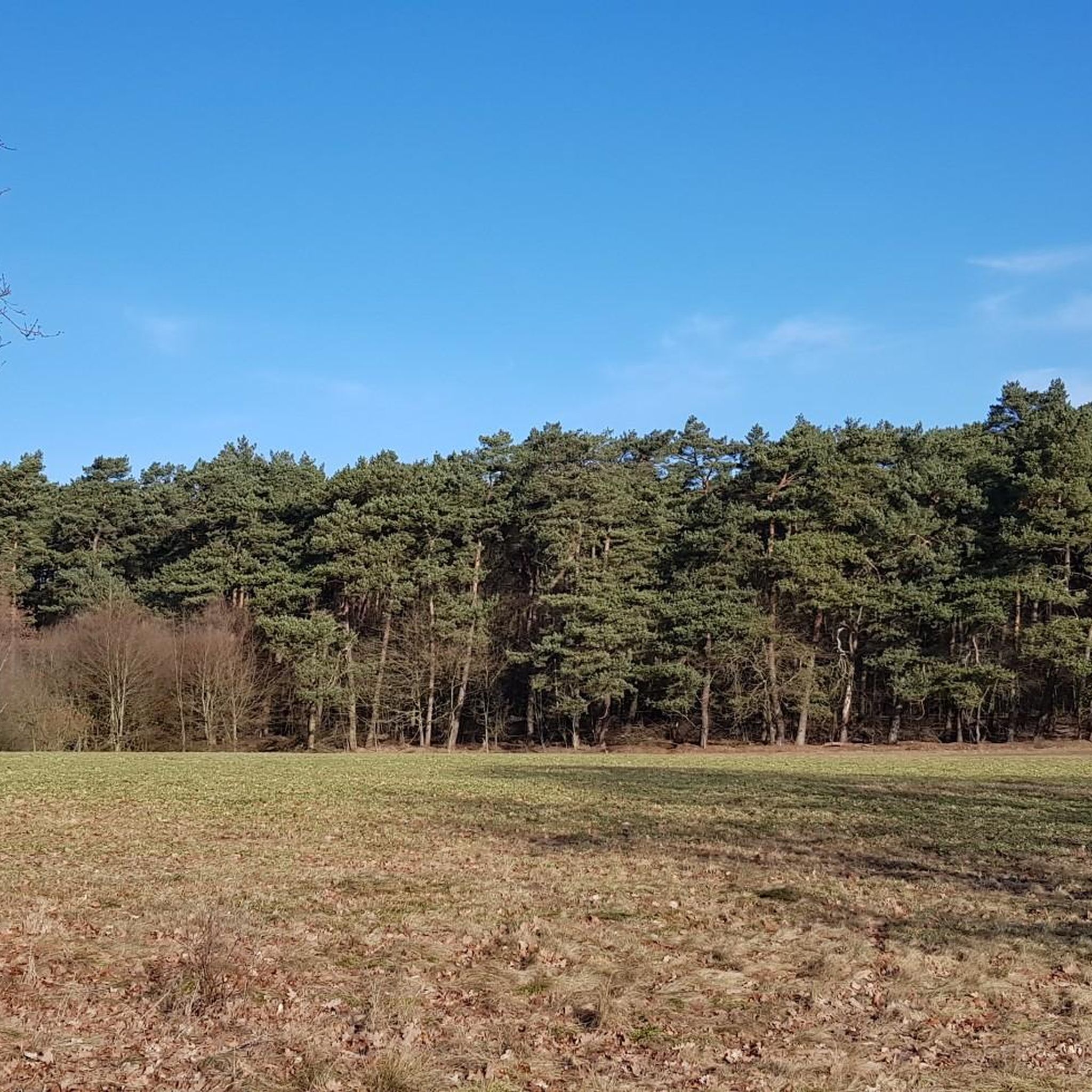
Jogging in Naturschutzgebiet Unteres Estetal offers diverse landscapes within the Este lowlands, characterized by a varied riverine environment shaped by the Este River. The region features a mosaic of greenland areas, willow bushes, and riparian forests, providing shade and immersion along the riverbanks. Runners encounter reeds, sedge meadows, wet forests, and fallow grasslands, especially on the western bank, alongside pine and mixed forests on the slopes. This mix of environments ensures engaging running experiences across different surfaces.
Best jogging routes in Naturschutzgebiet Unteres Estetal
- The most popular jogging route is Running loop from Altkloster, a 4.4 miles (7.0 km) trail that takes 46 minutes to complete. This route features varied terrain through the natural reserve.
- Another top favourite among local runners is Hexen-Berg – Unteres Estetal loop from Unteres Estetal, a moderate 6.6 miles (10.6 km) path. It offers scenic views of the Este lowlands and surrounding forests.
- Local runners also love the Benediktinerinnenkloster loop from Altkloster, a 4.6 miles (7.3 km) trail leading through varied landscapes near the monastery, often completed in about 47 minutes.
- Jogging in Naturschutzgebiet Unteres Estetal is defined by extensive grasslands, riparian forests, and the Este river lowlands. The network of routes offers options for different ability levels, from less strenuous paths to those with mixed surfaces.
- The routes in Naturschutzgebiet Unteres Estetal are highly rated by the komoot community with an average score of 4.4 stars from over 300 reviews. More than 6000 runners have used komoot to explore Naturschutzgebiet Unteres Estetal's varied terrain.
Last updated: September 30, 2026
4.0
(1)
19
runners
9.17km
00:59
90m
90m
Moderate run. Good fitness required. Mostly paved surfaces. Suitable for all skill levels.
16
runners
Hard run. Very good fitness required. Mostly paved surfaces. Suitable for all skill levels.

4.0
(2)
73
runners
11.9km
01:17
30m
30m
Moderate run. Good fitness required. Mostly paved surfaces. Suitable for all skill levels.
3.7
(3)
45
runners
10.4km
01:05
50m
50m
Moderate run. Good fitness required. Mostly paved surfaces. Suitable for all skill levels.
4.8
(8)
40
runners
15.0km
01:46
120m
120m
Hard run. Very good fitness required. Mostly paved surfaces. Suitable for all skill levels.
Get access to more routes and recommendations from other explorers.
Already have an account?
Our route recommendations are based on thousands of hikes, rides, and runs completed by other people on komoot.
Start today with a free account
Your next adventure awaits.
Tips from the Community

A great destination for an outing is the lower Estetal. Suitable as a hiking and cycling route. Some park benches invite you to linger and relax. Highly recommended, a super great stay in nature 💚.
2
0

At this location is now the Café Goldbrunch. There is a selection of cakes and rolls.
1
1
The Buxtehuder Fleth is the oldest artificially created harbor basin of a city in Northern Europe, located in Buxtehude. It was created at the end of the 13th century with the founding of the city and, as an important monument, still connects the idyllic cityscape with the Este river today, bringing prosperity to Buxtehude in the Middle Ages. A visit is recommended to explore this historic core through the following highlights. Since 1991, this listed, flat-bottomed cargo ship Margaretha has been anchored in the Fleth, testifying to the maritime tradition of the old Hanseatic city. Water power plants have been operated here since as early as 1289. The building in its current form dates from 1860 and was later converted into a commercial building. The Flethenkieker, a bronze sculpture of a former harbor supervisor, which is a popular photo motif today. The Fleth Festival: Around the Ost- and Westfleth, a large cultural and city festival with live music and regional activities takes place annually.
2
0
The St. Marien Church of Neukloster is located on the main street. The Church of St. Marien is located in the center of the village of Neukloster, within the town of Buxtehude in the district of Stade, Lower Saxony. It was built at the beginning of the 20th century on the site of the former monastery church of the New Monastery. The interior with a view of the organ. the monastery church, built around 1500 after a fire, which served as a place of worship for the Protestant parish after the Reformation, had become dilapidated in the 19th century.
0
0
A good bike route for mountain bikers. Today I rode the flow trail, the root path along the railway tracks, and the three small descents in the Neukloster Forest. I really enjoyed the route and can recommend it. I could ride around fallen trees or push my bike. The root path along the railway line is not "easy"; in some sections I had to push my bike. A break spot is located by the lake, a very beautiful spot to linger and relax. After the lake, the root path also begins.
0
0
A great bike and hiking route leads here to the church. St. Marien Church in Neukloster was built around 1904. The origin was around 1286 in the monastery church. The church is located directly on the main street of Neukloster. The area is clear and also suitable as a place for a break. If the church office is open, you can get information. www.st-marien-neukloster.de
0
0
A great place to linger and a hiking trail leads along here amidst beautiful nature 💚.
1
0
Today I rode the Flowtrail, the root path along the railway tracks and the three small descents in Neukloster Forst. I really liked the route and can recommend it. I could ride around or push my bike past fallen trees. The root path along the railway line is not "easy", on some sections I had to push my bike. There is a resting place by the lake, a very beautiful spot to linger and relax. After the lake, the root path also begins.
1
0
Frequently Asked Questions
How many running routes are available in Naturschutzgebiet Unteres Estetal?
Naturschutzgebiet Unteres Estetal offers a wide selection of running routes, with over 600 trails available for you to explore. These routes cater to various fitness levels, from easy jogs to more challenging runs.
What kind of terrain can I expect on the jogging routes in Naturschutzgebiet Unteres Estetal?
The region provides a diverse running experience with a mosaic of landscapes. You'll encounter grasslands, willow bushes, riparian forests, and reed beds. The Este river lowlands feature picturesque routes, with wet forests and fallow grasslands along the western bank, and coniferous and mixed forests on the slopes and eastern bank. Expect a mix of surfaces, from easy paths to dirt roads and sandy sections, offering varied challenges.
Are there easy or beginner-friendly running options in the nature reserve?
Yes, Naturschutzgebiet Unteres Estetal has plenty of options for beginners and those looking for an easier run. There are over 100 easy routes available, ensuring a less strenuous experience while still enjoying the beautiful natural surroundings.
Can I bring my dog on the trails in Naturschutzgebiet Unteres Estetal?
While the guide doesn't specify dog-friendly rules, nature reserves often have regulations regarding dogs, such as keeping them on a leash to protect wildlife. It's always best to check local signage or the official website for Naturschutzgebiet Unteres Estetal before heading out with your canine companion.
What interesting sights or natural features can I see while jogging?
As you run through Naturschutzgebiet Unteres Estetal, you can discover several interesting features. Look out for the Wooden Bridge Over the Este River or the unique Este Bridge with periscope near Heimbruch. The area also features beautiful river sections like Estebogen near Heidebad, and several tranquil lakes such as the Pond in the Este Valley and the Pond with Picnic and Barbecue Area.
Is there parking available for runners visiting Naturschutzgebiet Unteres Estetal?
While specific parking locations aren't detailed in the guide, the popularity of the area for outdoor activities suggests that parking facilities are likely available at common access points or trailheads. It's advisable to check maps or local information for designated parking areas near your chosen starting point.
How can I reach Naturschutzgebiet Unteres Estetal by public transport?
The region research mentions public transport options to Naturschutzgebiet Unteres Estetal, including bus routes and train stations connecting to nearby towns like Buxtehude and Moisburg. For detailed schedules and stops, it's recommended to consult local public transport providers like HVV, which serves the Hamburg metropolitan region.
Are there family-friendly jogging routes in the area?
Many of the routes in Naturschutzgebiet Unteres Estetal are suitable for families, especially the easier paths that traverse the diverse landscapes. The varied terrain and natural attractions, such as the Este river and various ponds, can make for an engaging experience for all ages.
What is the best time of year to go running in Naturschutzgebiet Unteres Estetal?
The diverse landscapes of Naturschutzgebiet Unteres Estetal make it appealing year-round. Spring and autumn offer pleasant temperatures and vibrant scenery, while summer provides longer daylight hours. Even in winter, the trails can be beautiful, though some sandy sections might be more challenging depending on conditions.
What do other runners say about the trails here?
The running routes in Naturschutzgebiet Unteres Estetal are highly rated by the komoot community, with an average score of 4.4 stars from over 300 reviews. Runners often praise the varied terrain, the scenic views of the Este lowlands, and the engaging mix of environments, from forests to grasslands.
Are there any specific bridges or unique features to look out for on a run?
Absolutely! A notable attraction is the 'pretty, very well-tended' Este Bridge in the Unteres Estetal Nature Reserve, which crosses the river. It even features a 'blue see-tube' that offers a unique surprise if you look inside. Additionally, the “Weißer Sand” bathing spot on the Este provides a scenic point of interest.
What are some of the longer running options available in the nature reserve?
For those seeking a longer run, the Hexen-Berg – Unteres Estetal loop from Unteres Estetal is a moderate 6.6 miles (10.6 km) path offering scenic views. Another option is the Hase & Igel Café – Neukloster Forest and Church loop from Buxtehude, which spans nearly 12 km.
Most popular routes in Naturschutzgebiet Unteres Estetal
Most popular attractions in Naturschutzgebiet Unteres Estetal

Get inspired with the komoot mobile app


Explore more
Browse the best Running Trails & Routes in other regions.
