The best road cycling routes around Höheischweiler
4.6
(241)
2,557
riders
130
rides
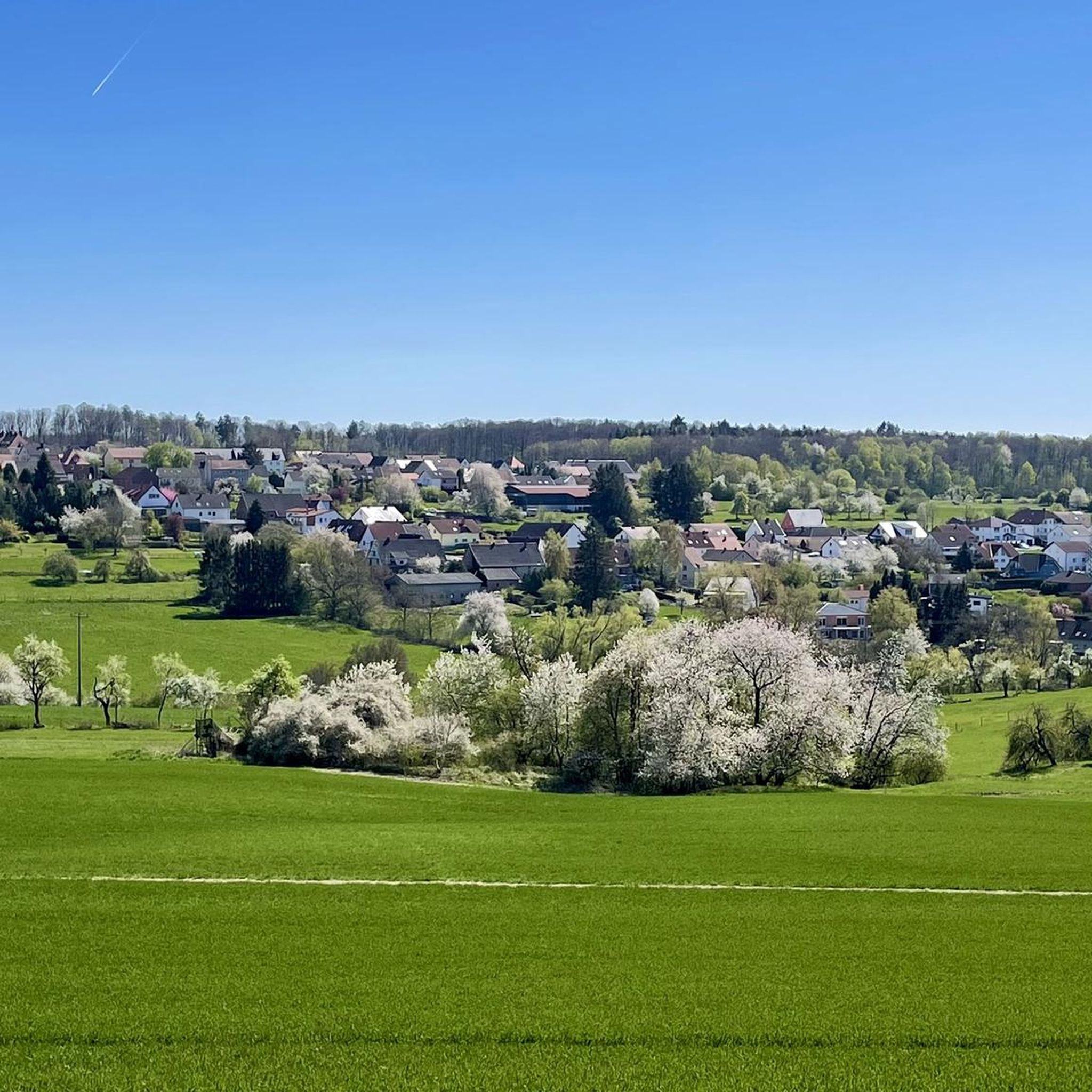
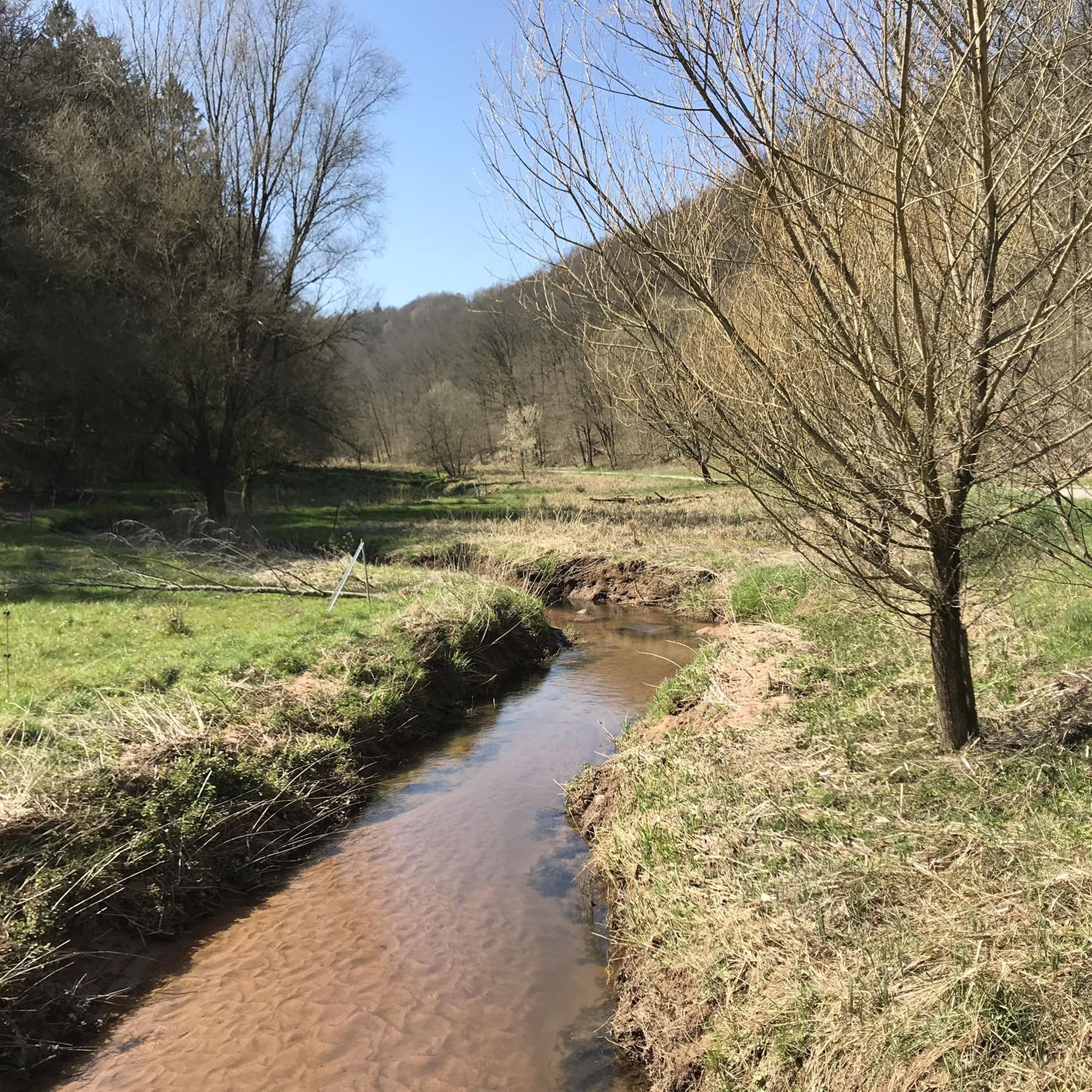
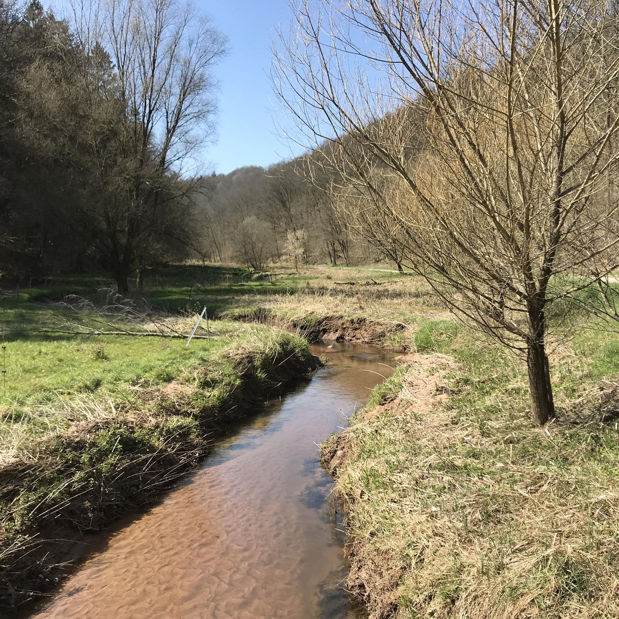
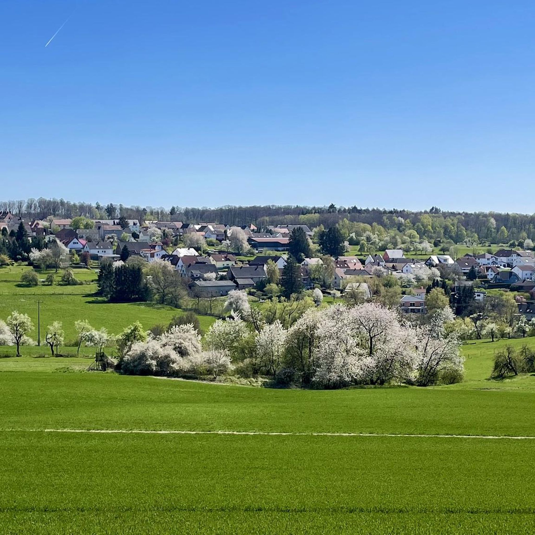
Road cycling routes around Höheischweiler are situated within the Südwestpfalz region, offering access to a diverse network of paths. The terrain features stream valleys, gentle hills, and dense mixed forests, interspersed with open meadows. This area is part of the Palatinate Forest Biosphere Reserve, providing varied landscapes for road cyclists. The region's network includes both challenging ascents and long descents, with many routes being well-paved.
Best road cycling routes around Höheischweiler
- The most popular road cycling route is Schwarzbach Cycle…
Last updated: July 5, 2026
4.8
(6)
84
riders
Moderate road ride. Good fitness required. Some segments of this route may be unpaved and difficult to ride.
5.0
(2)
31
riders
59.8km
02:38
500m
500m
Moderate road ride. Good fitness required. Mostly well-paved surfaces and easy to ride.

Sign up for free
5.0
(3)
25
riders
78.1km
03:37
850m
850m
Moderate road ride. Good fitness required. Mostly well-paved surfaces and easy to ride.
4.6
(5)
24
riders
Moderate road ride. Great for any fitness level. Some segments of this route may be unpaved and difficult to ride.
8
riders
26.6km
01:14
310m
310m
Moderate road ride. Good fitness required. Mostly well-paved surfaces and easy to ride.
Get access to more routes and recommendations from other explorers.
Sign up for free
Already have an account?
Our route recommendations are based on thousands of hikes, rides, and runs completed by other people on komoot.
Start today with a free account
Your next adventure awaits.
Login or Signup
Tips from the Community

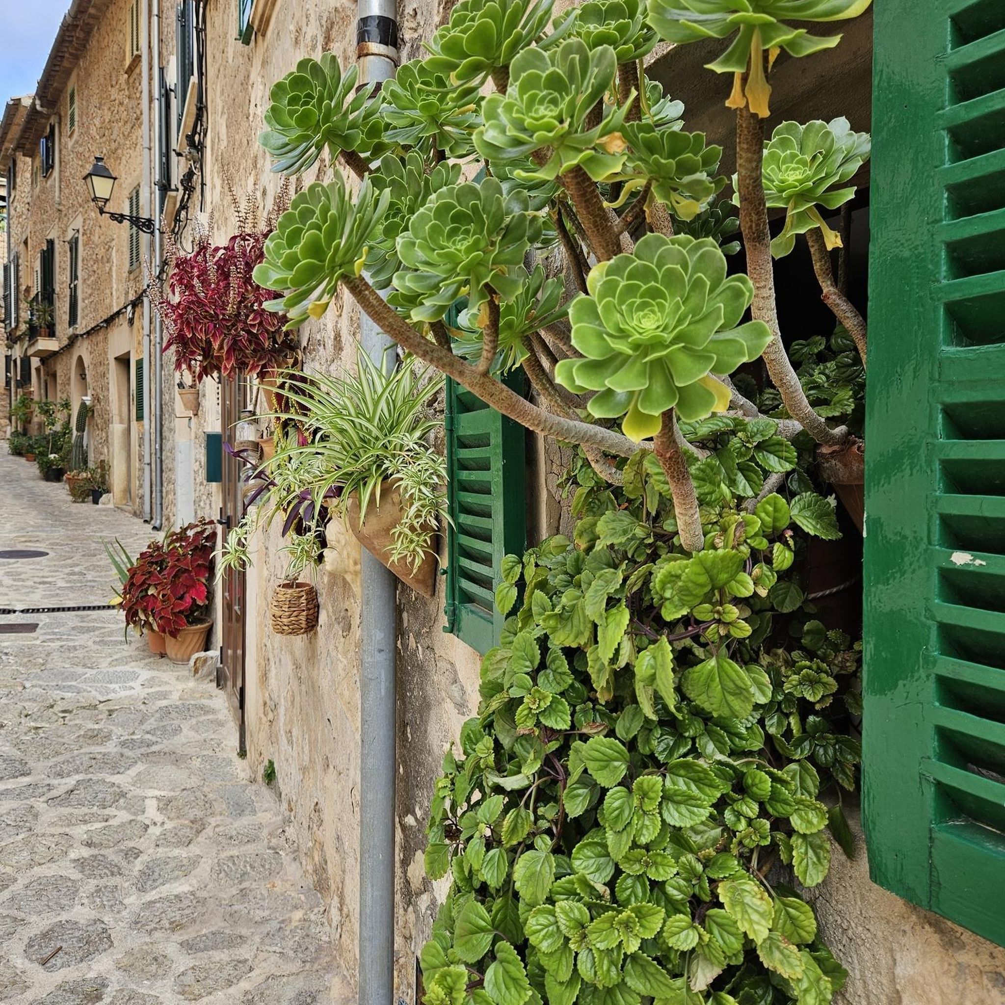
Stylish hotel with very good service in stylishly converted buildings of an 8th-century monastery.
5
0
High city gate, structurally connected to the adjacent buildings.
7
0

what a beautiful fortress with great views in all directions
2
0

For a little refreshment in between or the hearty end of a tour
1
0

Slightly hidden next to the cycle path are the remains of the old chapel.
3
0
Inviting stop along the cycle path.
4
0
Small city gate with access to Hornbach.
4
0
Visible from afar on the hill in Bitche.
3
0
Frequently Asked Questions
What kind of terrain can I expect on road cycling routes around Höheischweiler?
The Südwestpfalz region, where Höheischweiler is located, offers a diverse road cycling experience. You'll find routes traversing stream valleys, gentle hills, and dense mixed forests, often interspersed with open meadows. Some routes feature significant climbs and long descents, while others offer more comfortable stretches with gentle inclines, making it suitable for various skill levels. The network includes both paved and unpaved segments, with many road cycling routes being mostly well-paved.
Are there road cycling routes suitable for beginners or families near Höheischweiler?
Yes, the region provides options for different ability levels. While many routes offer varied terrain, there are easier paths available. For example, the Ascent Past Morschelweiher – Schwarzbach Cycle Path loop from Fehrbach is an easy route that allows for a more relaxed ride. The extensive network ensures that you can find routes with gentle inclines, perfect for families or those new to road cycling.
What are some notable natural features or landmarks I can see along the road cycling routes?
The routes around Höheischweiler often pass through the Palatinate Forest Biosphere Reserve, offering rich natural beauty. You can encounter picturesque river valleys like the Moosalbe and Schwarzbach, and distinctive rock formations. Highlights include the Rock arch on the Felsenwald Premium Trail and the Brothers' Rock near Rodalben. The region also features several beautiful lakes, such as the West Bank of the Eisweiher and Gersbachweiher.
How many road cycling routes are available around Höheischweiler?
There are over 120 road cycling routes available around Höheischweiler on komoot, catering to various preferences and skill levels. This extensive network allows for a wide range of choices, from shorter, easier rides to more challenging, longer tours.
What do other road cyclists say about the routes in this area?
The road cycling routes around Höheischweiler are highly regarded by the komoot community, with an average rating of 4.6 stars from over 230 reviews. Cyclists often praise the varied terrain, the well-paved sections, and the scenic beauty of the Palatinate Forest and its river valleys.
Are there any themed road cycling routes in the Südwestpfalz region?
Yes, the broader Südwestpfalz region offers several themed routes. These include the 'Südwestpfalz-Tour' which crosses the Sickinger Höhe, and the 'Pfälzerwald-Tour' that runs along the western edge of the Palatinate Forest through various river valleys. There's also the 'Biosphärentour' circling through the southern part of the Palatinate Forest Biosphere Reserve, providing unique cycling experiences.
Can I find challenging road cycling routes with significant elevation around Höheischweiler?
Absolutely. The region's varied terrain includes areas like the Zweibrücken Hill Country and the Sickinger Höhe, which offer significant climbs. Routes such as the Entrance to Bitche – Étang d'Haspelschiedt loop from Höhmühlbach feature substantial elevation gains, rewarding cyclists with magnificent panoramic views after challenging ascents.
What is the best time of year for road cycling in the Palatinate Forest around Höheischweiler?
The Palatinate Forest region is generally pleasant for road cycling from spring through autumn. Spring brings blooming landscapes, while summer offers warm weather for longer rides. Autumn provides stunning foliage, making it a particularly scenic time. Always check local weather forecasts before heading out, as conditions can vary.
Are there places to stop for food and drink along the road cycling routes?
Yes, the region supports cyclists with good infrastructure. Many towns and villages situated along the routes offer places to stop for food and lodging. You'll find cafes, pubs, and restaurants where you can refuel and rest during your tour, ensuring convenience for longer rides.
How can I access the road cycling routes around Höheischweiler using public transport?
The Südwestpfalz region is well-connected, and many routes link to neighboring areas. While Höheischweiler itself is a tranquil base, public transport options to nearby towns like Thaleischweiler-Fröschen or Höhmühlbach can provide access points to various cycling routes. It's advisable to check regional public transport schedules for specific connections and bike carriage policies.
Are there any cross-border road cycling routes accessible from the Höheischweiler area?
Yes, the extensive network in the Südwestpfalz region connects to neighboring areas, including Alsace in France. Cross-border routes such as the 'Peace Route' and 'Hiwwe un Driwwe' provide unique opportunities to explore areas in both Germany and France, adding an international dimension to your road cycling adventure.
What is a popular moderate road cycling route in the area?
A popular moderate route among local road cyclists is the Hornbach Abbey – Kneispermühle loop from Höhmühlbach. This route covers approximately 59.7 km (37.1 miles) and traverses varied countryside, passing historical landmarks and offering diverse scenery.
Most popular routes around Höheischweiler
Most popular attractions around Höheischweiler

Get inspired with the komoot mobile app


Explore more
Browse the best Road cycling routes in other regions.
