The best road cycling routes in Regte Heide & Riels Laag
4.3
(1201)
25,621
riders
698
rides
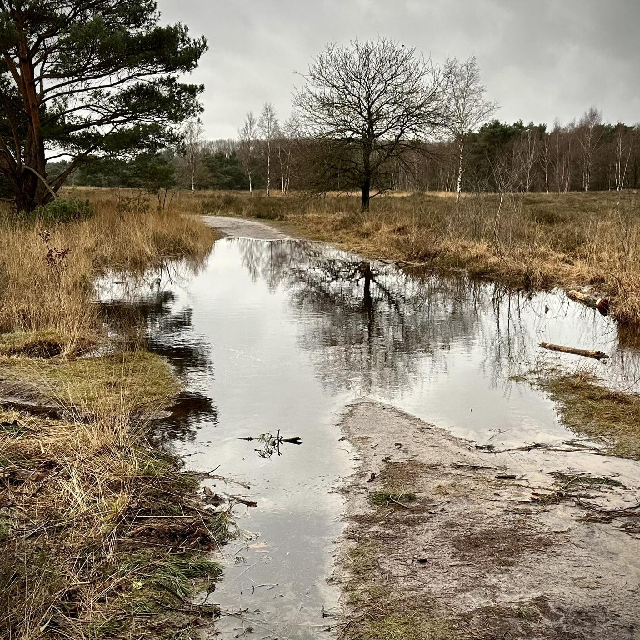
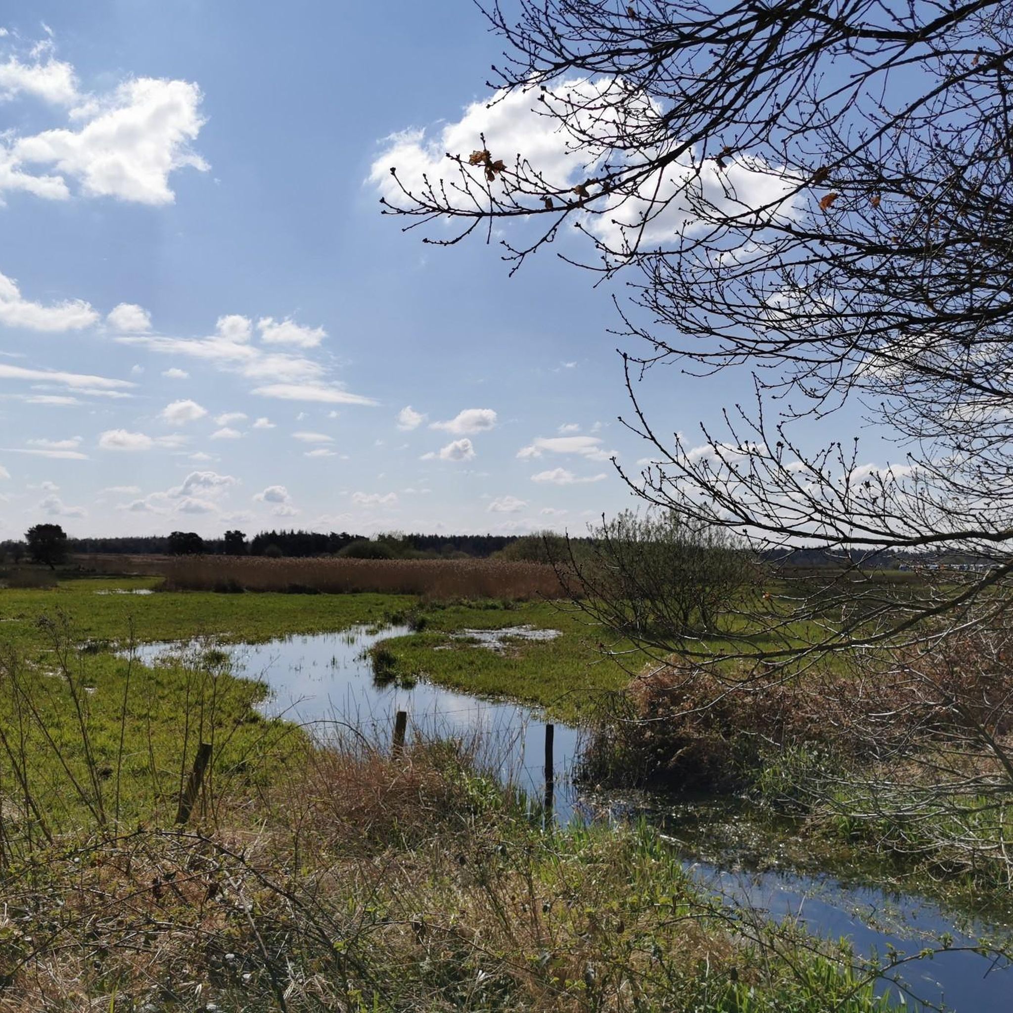
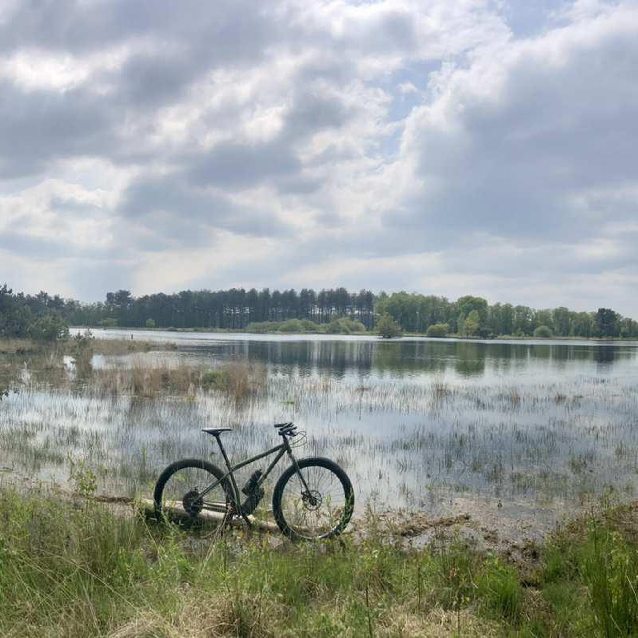
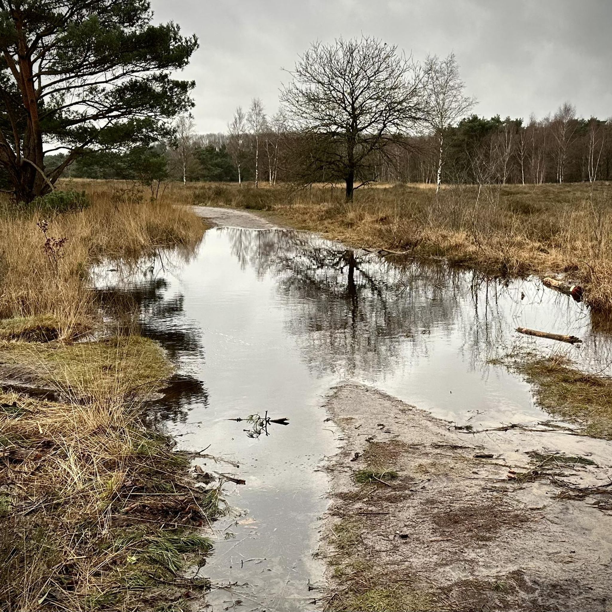
Road cycling in Regte Heide & Riels Laag offers diverse and picturesque landscapes in North Brabant. The region features a unique blend of dry and wet heathlands, marshy lowlands, fens, and both deciduous and coniferous forests. Cyclists will encounter a gently undulating cover sand landscape, transitioning from higher heathland to low, wet stream valleys like the Oude Leij and Poppelsche Leij. This Natura 2000-protected area provides varied terrain with mostly paved surfaces suitable for road bikes.
Best road cycling routes…
Last updated: October 27, 2026
27
riders
34.7km
01:33
50m
50m
Moderate road ride. Some segments of this route may be unpaved and difficult to ride.
21
riders
37.4km
01:35
40m
40m
Easy road ride. Mostly well-paved surfaces and easy to ride.

17
riders
52.3km
02:24
60m
60m
Moderate road ride. Good fitness required. Some segments of this route may be unpaved and difficult to ride.
15
riders
33.1km
01:29
40m
40m
Moderate road ride. Some segments of this route may be unpaved and difficult to ride.
4.0
(3)
59
riders
Easy road ride. Mostly well-paved surfaces and easy to ride.
Get access to more routes and recommendations from other explorers.
Already have an account?
Our route recommendations are based on thousands of hikes, rides, and runs completed by other people on komoot.
Start today with a free account
Your next adventure awaits.
Tips from the Community

just nice cycling, quiet and beautiful
0
0

Great cycling without car traffic.
0
0

Lovely piece of cycling on good ground. Beautiful surroundings out of reach of cars.
0
0

A big plus for the fine road surface, that makes up for a lot :)
0
0

cycling safely in beautiful surroundings
1
0

Almost immediately after the start of World War II, the German occupying forces established the Kamerun Airfield (SF37), better known locally as "De Kiek." It housed anti-aircraft guns, several searchlights, a bunker, and hangars. There was even a railway line on which an illuminated wooden dummy aircraft was propelled by a cable. By setting up decoy airfields, the Germans wanted to lure enemy pilots into dropping their bombs there, instead of on the actual target. The idea was for Allied pilots to mistake De Kiek for the real Gilze-Rijen airfield. Decoy airfields also served as dropping sites for undropped bombs, as landing with bombs was too dangerous. Sometimes they also served as training grounds. The German troops used lighting to lure British aircraft at night. As soon as the British were in the vicinity, the runway lights were turned on to attract attention. Flares were also fired. The British quickly learned about the decoy airfields and their intended purpose. Yet, despite improved navigation techniques, some British crews were still misled. Living near an airfield during wartime is dangerous. Even near a decoy airfield, it was anything but safe. The Allies were indeed misled and attempted to bomb the airfield. Three residents of Brakel were killed in a bombing raid on October 20, 1943. The Friends of the Kiek Foundation has brought the decoy airfield back to life. Visit the bunker and discover the aircraft in the middle of the woods.
1
0

A nice and cozy terrace/cafeteria along the bike path. Friendly service and nice lunch/menu
0
0

Road through the woods between the Chaamseweg and the Royaledreef. Originally a dirt road, later paved for recreational purposes and largely closed to car traffic in 1995. The name appears on the topographic map of 1935.
8
0
Frequently Asked Questions
How many road cycling routes are available in Regte Heide & Riels Laag?
There are over 500 road cycling routes in Regte Heide & Riels Laag, catering to various skill levels. You'll find approximately 140 easy routes, over 370 moderate routes, and about 20 more challenging options.
What kind of terrain can I expect when road cycling in Regte Heide & Riels Laag?
The region features a gently undulating cover sand landscape, transitioning from higher heathland to low, wet stream valleys. While generally flat, there are subtle elevation changes, including a 'spectacular height difference' of up to 5 meters in some areas. Routes are mostly on paved surfaces, but some may include unpaved sections that are still manageable for racing bikes, offering a diverse experience.
Are there routes suitable for beginners or families in Regte Heide & Riels Laag?
Yes, Regte Heide & Riels Laag offers a good selection of routes suitable for beginners and families. There are approximately 140 easy routes available, such as the Windmill – Bridge Over Midden-Brabantweg loop from De Hellen, which is 30.0 miles (48.3 km) long and typically takes under 2 hours to complete. These routes allow for enjoyable rides through the scenic landscape without significant difficulty.
What are some notable landmarks or natural features I can see along the road cycling routes?
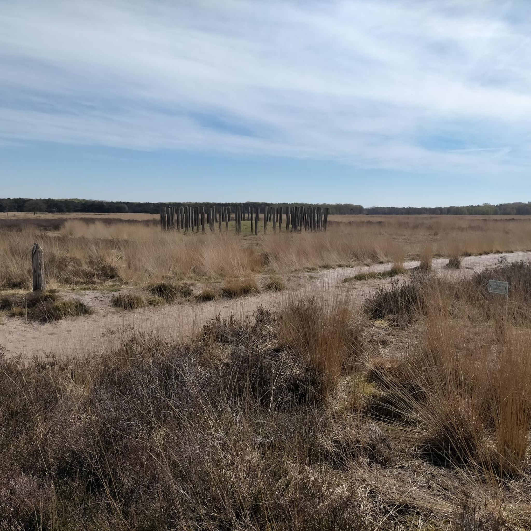
Road cycling routes in Regte Heide & Riels Laag pass by diverse points of interest. You can encounter ancient Bronze Age Burial Mounds with Wooden Post Circle, observe birdlife from the Tapsmoer Bird Hide, or cycle past serene bodies of water like the Halve Maan Ven. The area also features historical sites like the former location of a Templar Commanderie and the 'Decoy Airfield De Kiek'.
Are there any circular road cycling routes in the area?
Yes, many of the road cycling routes in Regte Heide & Riels Laag are designed as loops, allowing you to start and end at the same point. An example is the Canal Path Towards Oirschot – Cycle bridge over provincial road loop from Goirle, which is an easy 32.2 miles (51.8 km) route. This design makes planning your ride convenient and ensures you experience varied scenery.
What is the best time of year to go road cycling in Regte Heide & Riels Laag?
The region is beautiful year-round, but spring and early autumn generally offer the most pleasant conditions for road cycling. During these seasons, the weather is typically mild, and the natural landscapes, including the heathlands and forests, are particularly vibrant or display rich autumnal colors. Summer can also be excellent, though it's advisable to start earlier in the day to avoid peak heat.
What do other road cyclists enjoy most about the routes in Regte Heide & Riels Laag?
The road cycling routes in Regte Heide & Riels Laag are highly rated by the komoot community, with an average score of 4.3 stars from over 800 reviews. Cyclists frequently praise the diverse and picturesque landscapes, the tranquility of the heathlands and stream valleys, and the well-maintained, mostly paved surfaces that make for smooth rides. The varied terrain and historical points of interest also contribute to a highly engaging experience.
Are there any cafes or places to stop for refreshments along the routes?
While specific cafes are not listed for every route, the region of North Brabant is known for its hospitality. Many villages and towns near the cycling paths, such as Goirle and Riel, offer opportunities to stop for refreshments. You might find local eateries or cafes to take a break and refuel during your ride.
Is parking available near the road cycling trails in Regte Heide & Riels Laag?
Yes, parking is generally available in and around the towns and villages that serve as starting points for many routes, such as Goirle and De Hellen. Given the well-developed cycling infrastructure in the Netherlands, you can often find designated parking areas suitable for accessing the trails.
Can I reach the Regte Heide & Riels Laag road cycling trails by public transport?
Public transport options are available to reach the vicinity of Regte Heide & Riels Laag. You can typically take a train to a nearby larger town and then connect via local bus services to villages like Goirle or Riel, which are common starting points for the cycling routes. It's advisable to check local public transport schedules for the most up-to-date information.
Are there any longer or more challenging road cycling routes for experienced riders?
Yes, for experienced riders seeking longer distances or slightly more challenging terrain, there are routes available. While the region is generally gently undulating, some routes offer extended distances and subtle elevation changes to keep things interesting. For example, the Rielseweg Cycle Path – Gate of Baarle loop from Goirle is a moderate 32.4 miles (52.1 km) trail that takes over 2 hours to complete, offering varied scenery and a good workout.
What makes Regte Heide & Riels Laag a unique destination for road cycling?
Regte Heide & Riels Laag stands out due to its unique blend of ecosystems, transitioning from dry heathlands to wet stream valleys like the Oude Leij and Poppelsche Leij. This Natura 2000-protected area offers a tranquil and engaging experience with its varied natural features, historical elements like Bronze Age burial mounds, and a network of mostly paved paths that provide a serene connection with nature, which is a rarity in the otherwise flat Brabant landscape.
Most popular routes in Regte Heide & Riels Laag
Most popular attractions in Regte Heide & Riels Laag

Get inspired with the komoot mobile app


Explore more
Browse the best Road cycling routes in other regions.
