Attractions and Places To See in Nsg Kallmuther Berg (Lp Mechernich) - Top 19
Best attractions and places to see in Nsg Kallmuther Berg (Lp Mechernich) offers a unique landscape shaped by its history as a lead mining region in North Rhine-Westphalia, Germany. The area features a blend of natural beauty and industrial heritage, providing diverse terrain for exploration. Visitors can discover scenic viewpoints, historical mining remnants, and varied ecosystems within this protected area.
Best attractions and places to see in Nsg Kallmuther Berg (Lp Mechernich)
- The most popular attractions is Baltesbendener Pond, a lake that served as a water reservoir for ore processing during the mining period. This pond holds historical significance and is known for its frog population depending on the season.
- Another must-see spot is Large Thickener, a man-made monument. This industrial monument provides insights into the history of Mechernicher lead mining, with information available on site.
- Visitors also love Malakow Tower Emil Mine (Mechernich), a well-preserved winding tower from around 1870. It stands over a shaft of the Emil lead ore mine and serves as a visual link to the region's mining heritage.
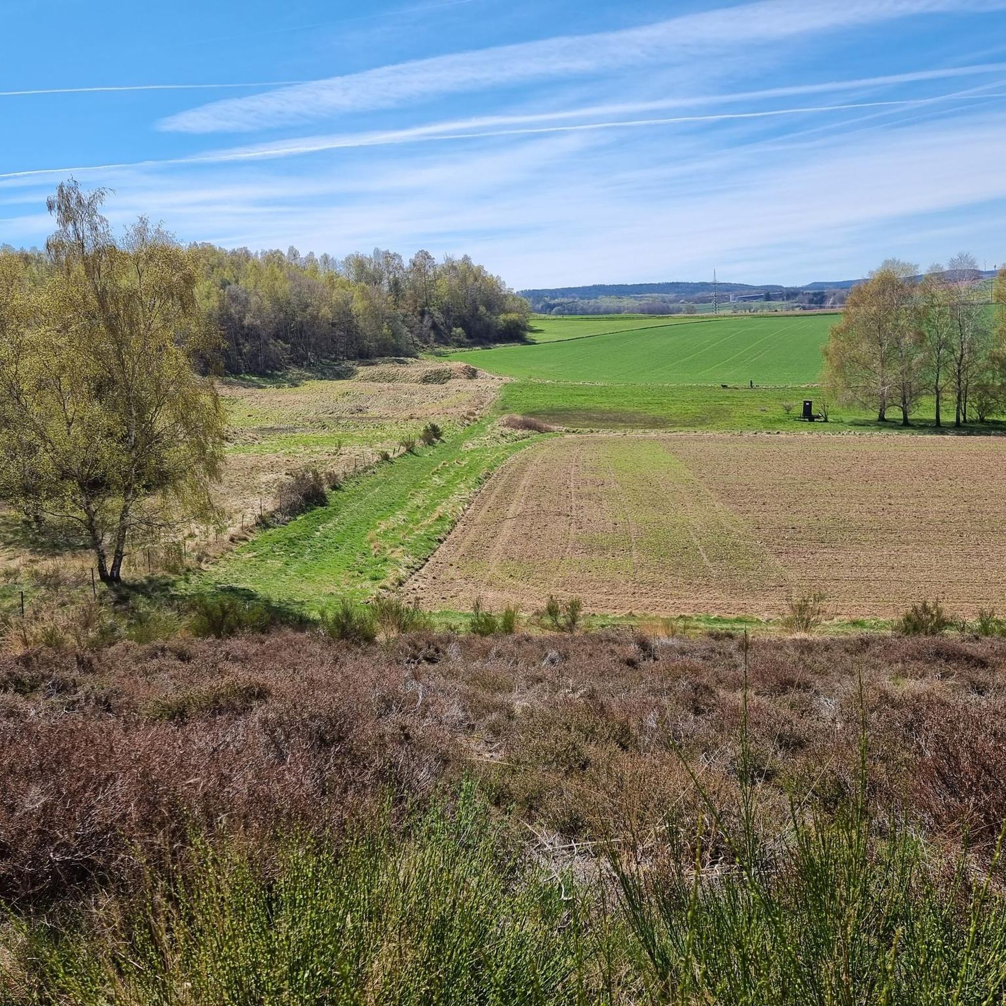
- Nsg Kallmuther Berg (Lp Mechernich) is known for its historical mining sites, natural ponds, and diverse landscapes. The region offers a variety of attractions to see and explore, from industrial monuments to protected natural habitats.
- The attractions in Nsg Kallmuther Berg (Lp Mechernich) are appreciated by the komoot community, with 217 upvotes and 114 photos shared across 20 highlights.
Last updated: July 19, 2026
Large Thickener
Highlight • Monument
Translated by Google •
Tip by

Malakow Tower Emil Mine (Mechernich)
Highlight • Monument
The structures are massive masonry towers with a fortress-like architecture. The sturdy construction of up to three meters thick brickwork and a stiffened construction in the interior made it possible to hold the heavy pulleys and absorb the enormous pulling forces of the carriers. The mighty towers were to be found in the districts of the Ruhr area, the Saarland, in Saxony, Lower and Upper Silesia, and in the Aachen area, but also occasionally in Belgium and France. They were mainly used in hard coal mining and ore and potash mining.
Malakov towers were replaced as the predominant form of construction with welded steel frameworks, after sufficient steel was available and technically able to construct such large scaffoldings cost-effectively.
Source: Wikipedia
Translated by Google •
Tip by

Sign up now to discover places like this
Get recommendations on the best single tracks, peaks, & plenty of other exciting outdoor places.
Sign up for free
Buchholzer Weiher
Highlight • Lake
Translated by Google •
Tip by
Baltesbendener Pond
Highlight • Lake
Translated by Google •
Tip by

Ruins of the Langer Emil Chimney
Highlight • Monument
Translated by Google •
Tip by
Sign up for free to discover even more attractions in Nsg Kallmuther Berg (Lp Mechernich).
Sign up for free
Already have an account?
Start today with a free account
Your next adventure awaits.
Login or Signup
Popular around Nsg Kallmuther Berg (Lp Mechernich)
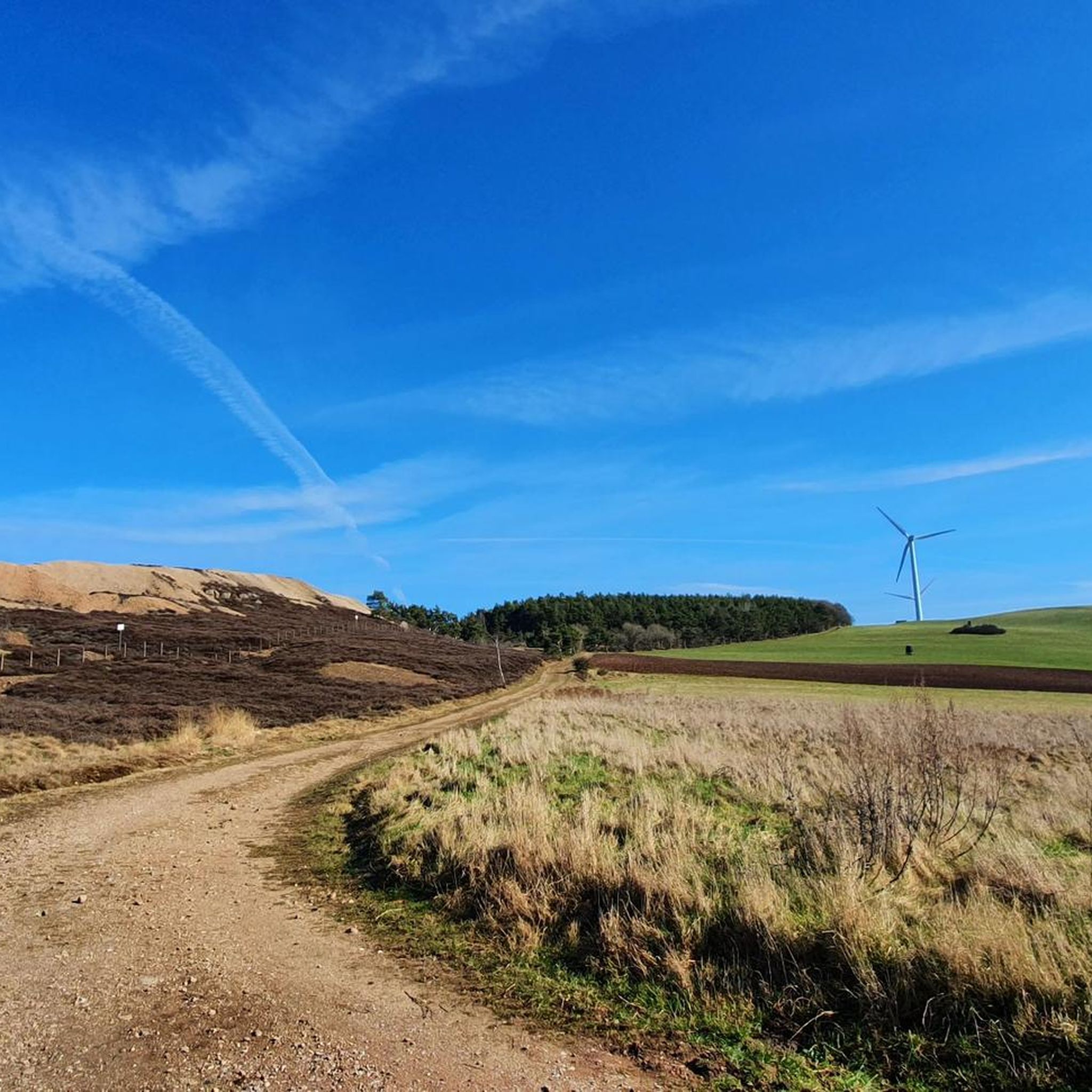
Hiking in Nsg Kallmuther Berg (Lp Mechernich)
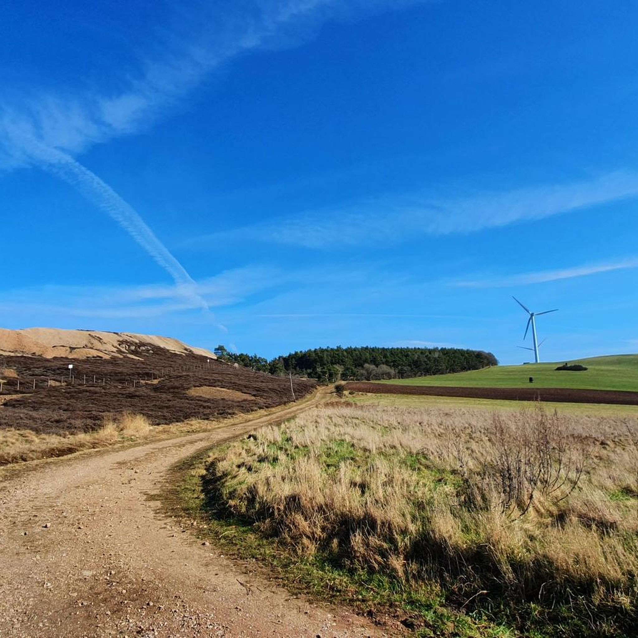
Cycling in Nsg Kallmuther Berg (Lp Mechernich)
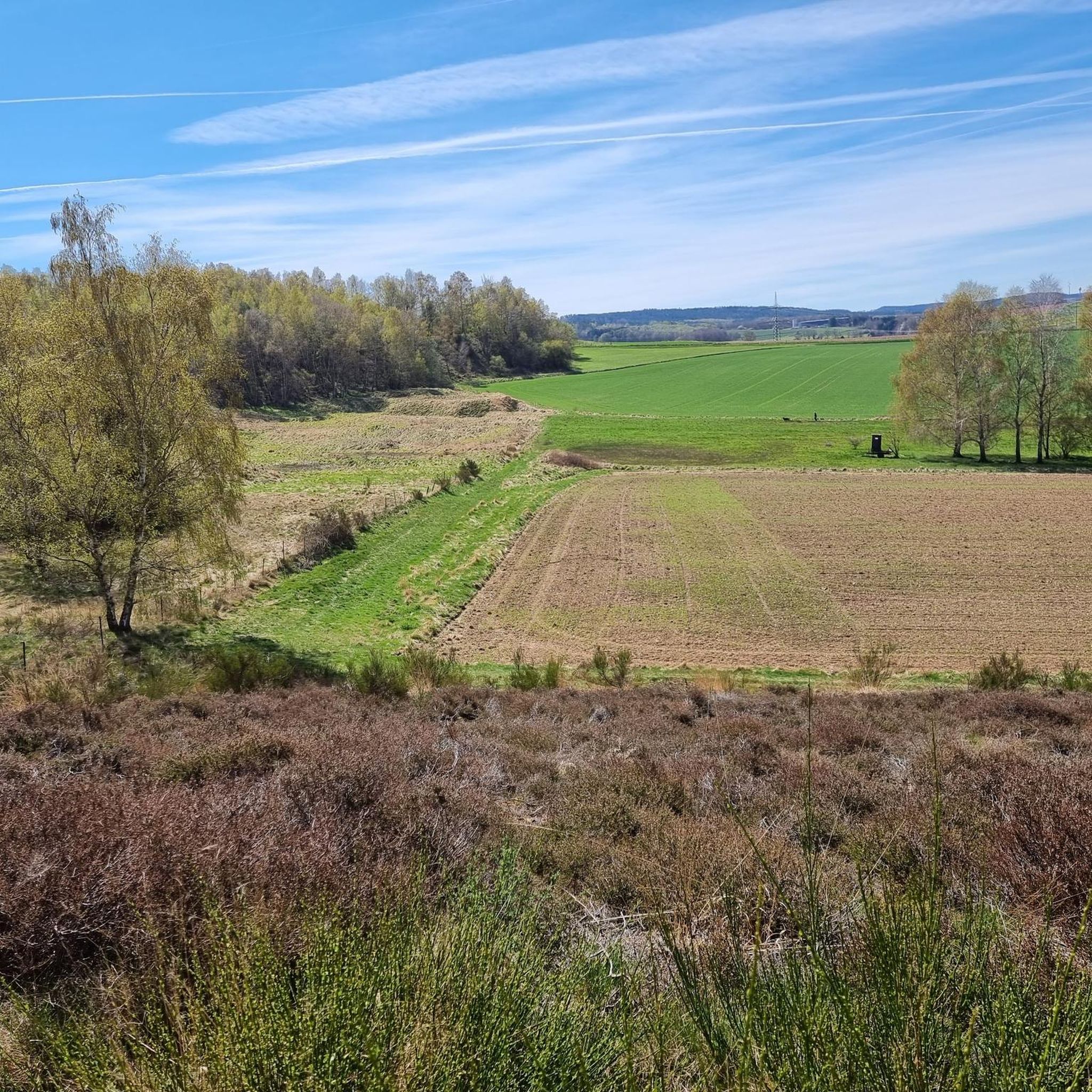
Road Cycling Routes in Nsg Kallmuther Berg (Lp Mechernich)
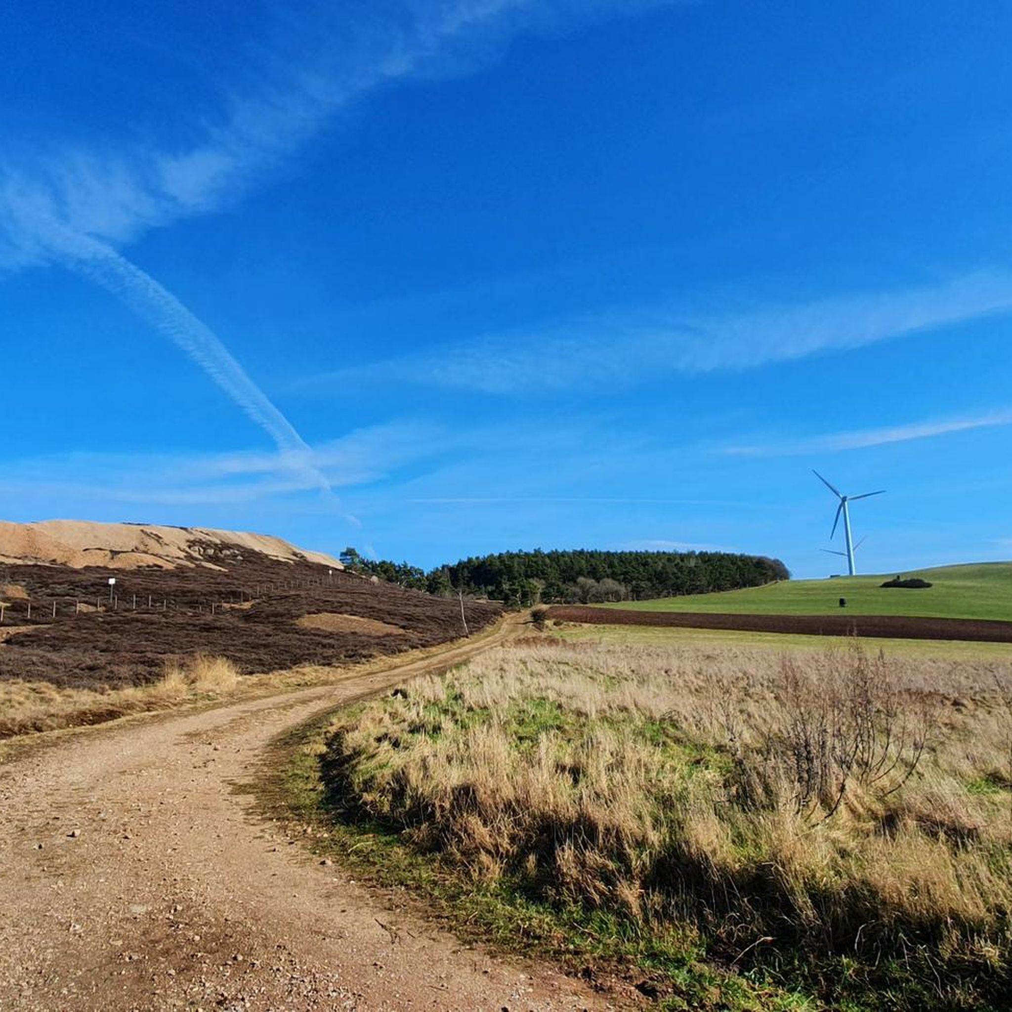
MTB Trails in Nsg Kallmuther Berg (Lp Mechernich)

Gravel biking in Nsg Kallmuther Berg (Lp Mechernich)
Running Trails in Nsg Kallmuther Berg (Lp Mechernich)
Tips from the Community

A small but lovely body of water, where you can relax on one of the many benches and let the tour wind down.
0
0

A winding tower built around 1870 over a shaft of the Emil lead ore mine, the only one preserved in the Rhineland outside the Ruhr region. Source: https://www.kuladig.de/Objektansicht/KLD-252205
2
1
Like the Baltesbendener Weiher, the Buchholzer Weiher also served to provide the huge quantities of water needed for ore mining.
3
0
The Baltesbendener Weiher is a former water reservoir for the processing of lead ore mined in Mechernich.
3
0
On the afternoon of October 27, 1961, the demolition of the chimneys was scheduled to take place. Many onlookers from near and far, along with a considerable contingent of press representatives, attended the event. As a precaution, a high-voltage power line in the danger zone of the demolition site was shut down. During the demolition, Vussem, Lorbach, and Bergheim were without electricity. After the usual horn signals, the demolition expert detonated the charges. But—apart from a bang—nothing happened! To the amusement of the spectators, the two chimneys remained unchanged in their positions. The "Long Emil" chimney, as if mockingly, emitted a small puff of smoke. The Eifeler Volkszeitung newspaper of October 30, 1961, wrote about this failed demolition attempt: "That was no heroic feat, Octavio" (Schiller, Wallenstein's Death). Late that evening, October 27, the wind simply blew down the "Short Carl" chimney, which had been weakened by the explosives. Flying debris injured two pioneers who were nearby. On Saturday, October 28, 1961, the final act of the drama took place. The pioneers of the Federal Border Guard were now determined to see what would happen. They loaded the "Long Emil" with 110 kilograms of TNT instead of the twelve kilograms from the previous day. They were determined to avoid further ridicule. Once again, hundreds of onlookers flocked to the lead mountain. From the surrounding hills, many people wanted to see the "Long Emil," the area's landmark, brought down. They were all subjected to a severe test of patience. First, the detonation was announced for noon, then for 2 p.m., then 2:30 p.m., then 3 p.m. Because the amount of explosives used exceeded 100 kilograms of TNT, ministerial approval was required; and this had not yet arrived by 3 p.m. Finally, around 5:20 p.m., the explosion that the remaining spectators had been waiting for since noon sounded. But "Long Emil" didn't bow, as would have been fitting. No, it was pulverized by the 110 kilograms of TNT and collapsed in a cloud of dust. The symbol of a once-thriving industry thus met an inglorious end. Source: http://www.wisoveg.de/wisoveg/heimatkalender-eu/2004b/90emil.html
3
0

Very interesting history of this hiking area
4
0

to Peter_H_65: The text is from 2010 from the Kölner Stadt Anzeiger https://t1p.de/s544.
2
1

Impressive industrial ruin and an old, widely visible landmark of Mechernich. A small board gives further information.
1
0
Frequently Asked Questions
What historical mining sites can I explore in NSG Kallmuther Berg?
The region is rich in mining history. You can visit the Large Thickener, an industrial monument with on-site explanations about Mechernicher lead mining. Another significant site is the Malakow Tower Emil Mine (Mechernich), a well-preserved winding tower from the 1870s, which served the Emil lead ore mine. You can also see the Ruins of the Langer Emil Chimney, remnants of what was once Europe's tallest chimney.
Are there any natural features or viewpoints to enjoy in the area?
Yes, NSG Kallmuther Berg offers several natural attractions. The Baltesbendener Pond is a historical water reservoir, known for its frog population depending on the season. Another notable natural feature is the Buchholzer Weiher, a pond with unique flora and fauna, despite its past as a settling basin for mining. Additionally, the viewpoint at Kallmuther Berg Open-pit Mine provides panoramic views over the historic Kalenberg opencast mine and the Eifel region.
What outdoor activities are available near the attractions?
The area around NSG Kallmuther Berg is excellent for various outdoor activities. You can find numerous routes for road cycling, mountain biking, and gravel biking. For road cycling, consider routes like the 'Hengebach Castle – Kermeter Climb from Rur Dam loop'. Mountain bikers can explore trails such as the 'Veybach Trail – Veybach Singletrack loop'. Gravel biking enthusiasts might enjoy the 'Rursee Loop Trail'. You can find more details and routes on the respective guide pages for Road Cycling Routes, MTB Trails, and Gravel Biking in Nsg Kallmuther Berg (Lp Mechernich).
Are there family-friendly attractions in NSG Kallmuther Berg?
Yes, several attractions are suitable for families. Both the Baltesbendener Pond and the Buchholzer Weiher are natural spots where families can observe local flora and fauna. The Malakow Tower Emil Mine (Mechernich), while historical, is also listed as family-friendly, offering an interesting visual link to the region's past.
What is the best time to visit NSG Kallmuther Berg?
The NSG Kallmuther Berg is enjoyable throughout the year, with each season offering a different experience. Spring and autumn are ideal for hiking and cycling due to milder temperatures and vibrant natural colors. Summer allows for longer days and full enjoyment of the natural landscapes. Even winter hiking can be a unique experience, though some trails might be more challenging. The diverse flora and fauna, including specific heavy metal grasslands, are particularly interesting during warmer months.
What kind of terrain can I expect on trails in NSG Kallmuther Berg?
The region's terrain is quite varied, shaped by both natural processes and historical mining activities. You can expect diverse landscapes including heath, sand and gravel areas, and mixed forests. Trails often lead through former mining areas, offering a mix of natural paths and historical industrial remnants. Some areas, especially near ponds like the Buchholzer Weiher, can be swampy, so appropriate footwear is recommended.
What do visitors enjoy most about NSG Kallmuther Berg?
Visitors frequently appreciate the unique blend of natural beauty and industrial heritage. The historical insights provided at sites like the Large Thickener are highly valued. Many also enjoy the diverse landscapes for hiking and the opportunity to observe specific flora and fauna, including protected bird and bat species, which thrive in the unique conditions of the former mining area.
Are there any specific plant or animal species unique to the NSG Kallmuther Berg?
Yes, the unique landscape, influenced by heavy metal-containing soils from former mining, supports specific vegetation. You can find heavy metal grasslands, dry heaths, and natural eutrophic standing waters. The area is home to numerous protected bird species like the eagle owl, nightjar, and woodlark, as well as 13 documented bat species. Interesting plant species include the Lesser Butterfly-orchid (Platanthera bifolia) and Common Adder's-tongue (Ophioglossum vulgatum).
Where can I find parking when visiting NSG Kallmuther Berg?
While specific parking locations are not detailed, the area is well-equipped for visitors exploring its numerous hiking and cycling trails. It is advisable to look for designated parking areas near trailheads or main attractions within the Mechernich region, as many routes start and end in accessible locations.
What is the significance of the ponds in NSG Kallmuther Berg?
The ponds in NSG Kallmuther Berg, such as the Baltesbendener Pond and Buchholzer Weiher, hold significant historical and ecological value. They were originally created as water reservoirs or settling basins for ore processing during the lead mining era. Today, they are crucial habitats within the nature reserve, supporting diverse aquatic flora and fauna, including various fish species and amphibians, despite their past heavy metal burden.
Is the NSG Kallmuther Berg suitable for beginner hikers?
The region offers a variety of trails, with some being more accessible for beginners. While the diverse topography can present moderate challenges, many paths allow for leisurely exploration of the natural beauty and historical sites. It's recommended to check individual route descriptions for difficulty grades to find trails best suited for your experience level.
Most popular routes in Nsg Kallmuther Berg (Lp Mechernich)
Most popular attractions in Nsg Kallmuther Berg (Lp Mechernich)

Get inspired with the komoot mobile app


Explore more
Still not found the Highlight you’re looking for? See guides of the top attractions in other regions:
