Fränkische Saale Zwischen Heustreu Und Steinach
Fränkische Saale Zwischen Heustreu Und Steinach
The best cycling routes in Fränkische Saale Zwischen Heustreu Und Steinach
4.5
(5454)
24,981
riders
14
rides
Touring cycling in Fränkische Saale Zwischen Heustreu Und Steinach is characterized by the Fränkische Saale river valley, which forms a central natural feature. The region features mostly gentle topography, with routes often following the river through picturesque meadows and alongside forests. This area is largely situated within the Rhön Biosphere Reserve, ensuring a well-preserved natural environment for outdoor activities. Cyclists can expect varied terrain, from easy riverside paths to routes that traverse rolling hills.
Best touring cycling routes in Fränkische…
Last updated: October 4, 2026
4.5
(2)
19
riders
Hard bike ride. Very good fitness required. Mostly paved surfaces. Suitable for all skill levels.
5.0
(1)
12
riders
52.4km
03:17
520m
520m
Hard bike ride. Very good fitness required. Mostly paved surfaces. Suitable for all skill levels.

11
riders
Easy bike ride. Great for any fitness level. Mostly paved surfaces. Suitable for all skill levels.
5.0
(1)
11
riders
Easy bike ride. Great for any fitness level. Mostly paved surfaces. Suitable for all skill levels.
12
riders
Moderate bike ride. Good fitness required. Mostly paved surfaces. Suitable for all skill levels.
Get access to more routes and recommendations from other explorers.
Already have an account?
Our route recommendations are based on thousands of hikes, rides, and runs completed by other people on komoot.
Start today with a free account
Your next adventure awaits.
Popular around Fränkische Saale Zwischen Heustreu Und Steinach
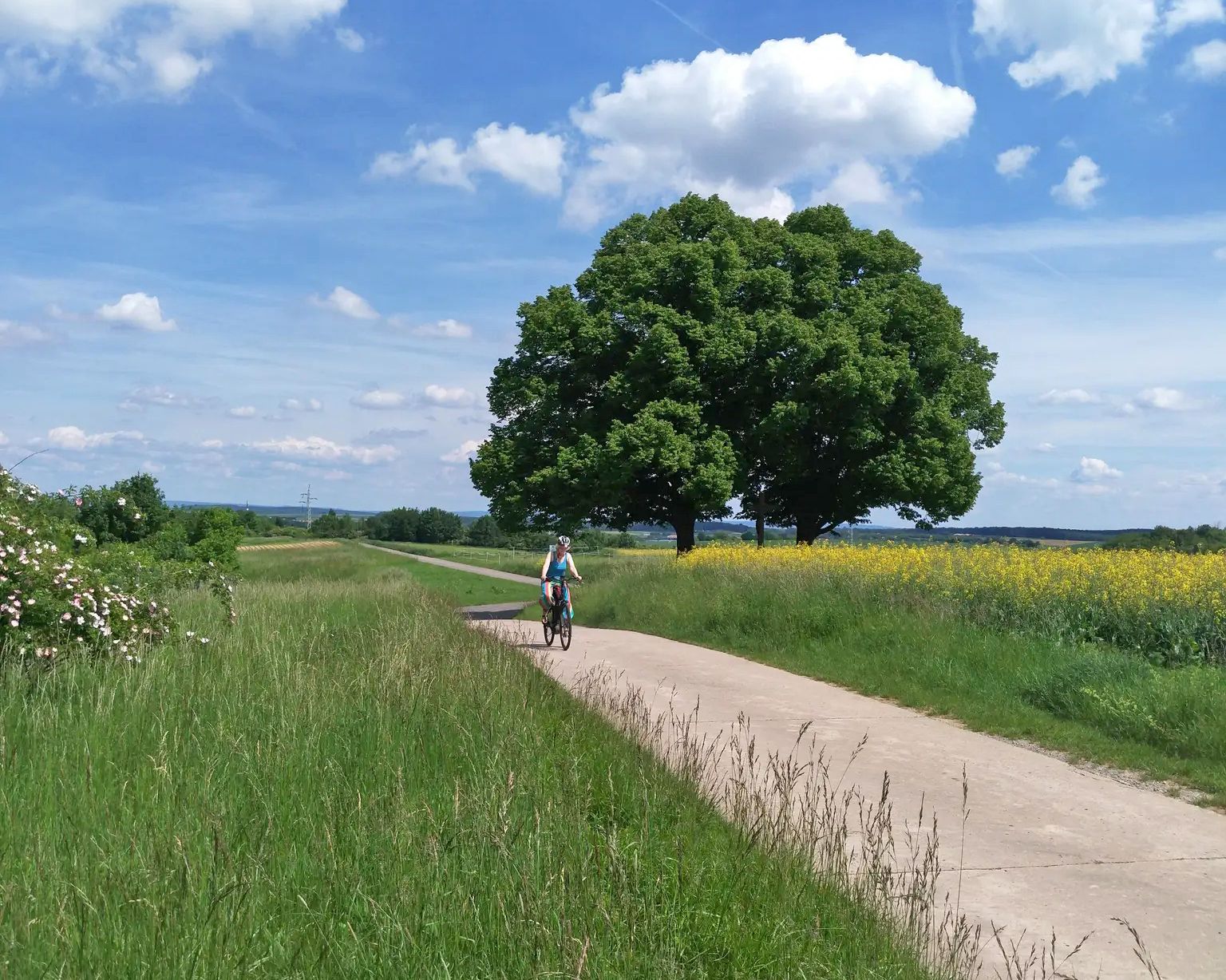
Main-Werra cycle path – From river to river
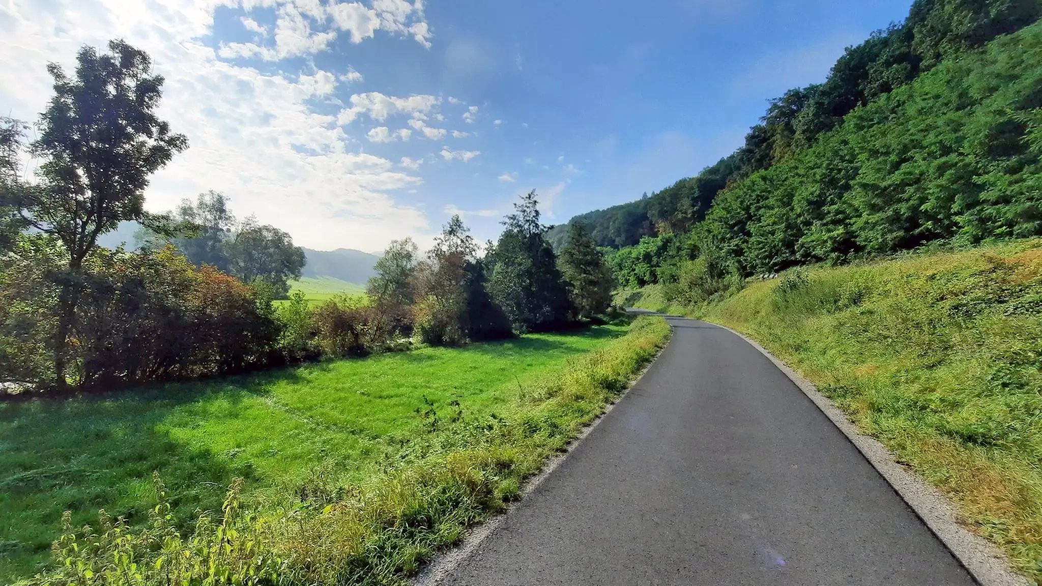
Ride from Grabfeld to the Main in Germany – Franconian Saale Cycle Route
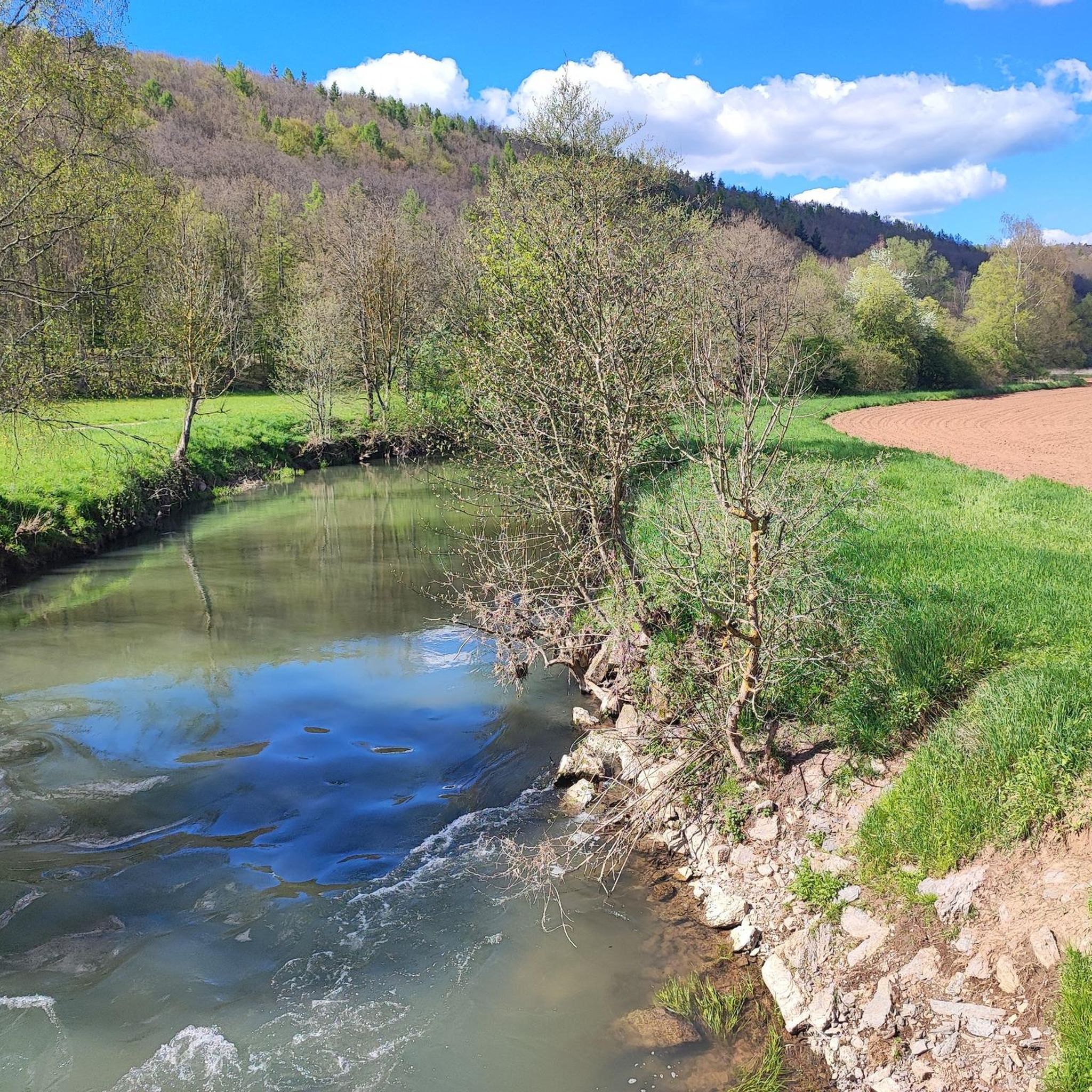
Road Cycling Routes in Fränkische Saale Zwischen Heustreu Und Steinach
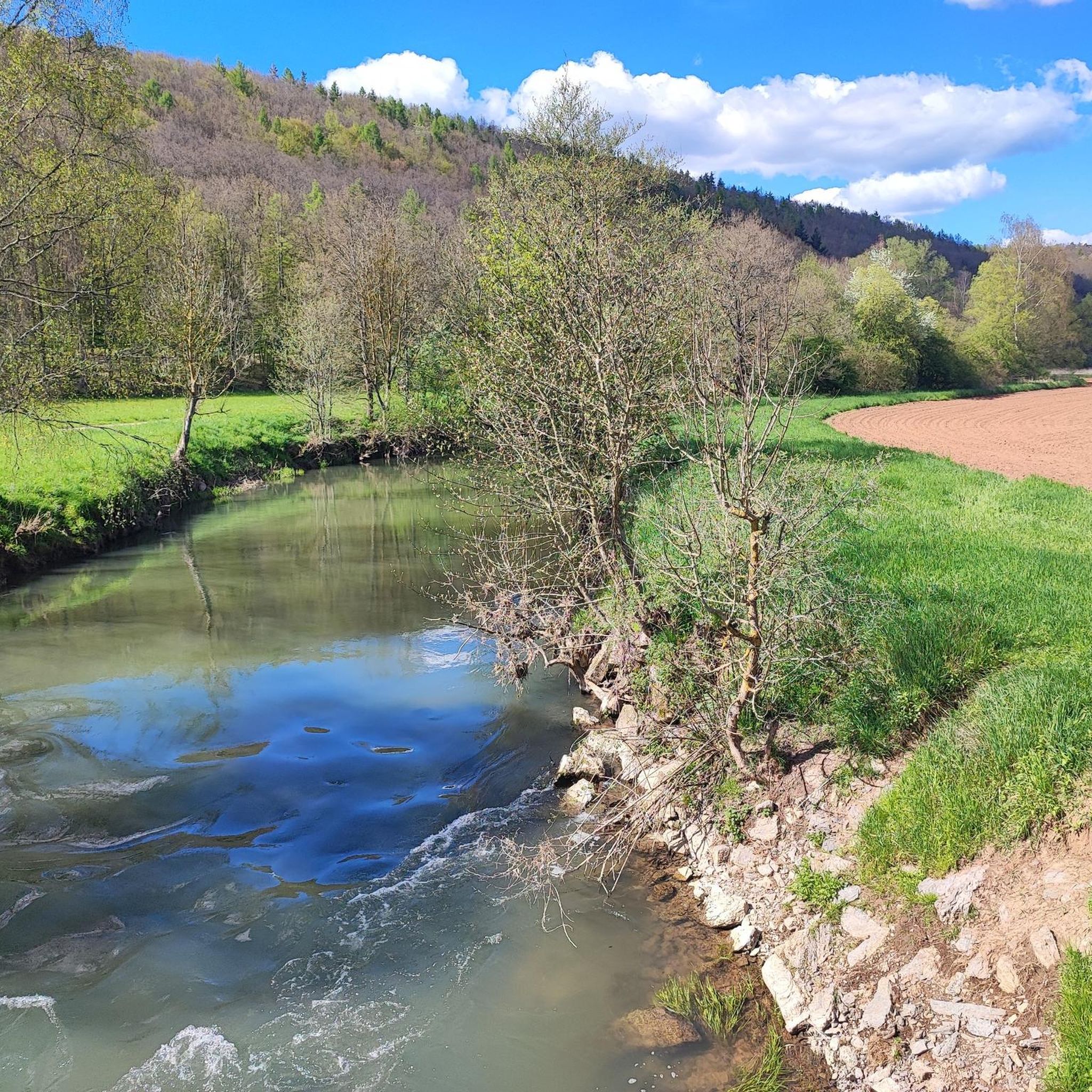
MTB Trails in Fränkische Saale Zwischen Heustreu Und Steinach
Hiking in Fränkische Saale Zwischen Heustreu Und Steinach
Running Trails in Fränkische Saale Zwischen Heustreu Und Steinach
Gravel biking in Fränkische Saale Zwischen Heustreu Und Steinach
Other adventures in Fränkische Saale Zwischen Heustreu Und Steinach

Tips from the Community

With a beautiful view of Salzburg and Hohensalzburg Fortress
0
0

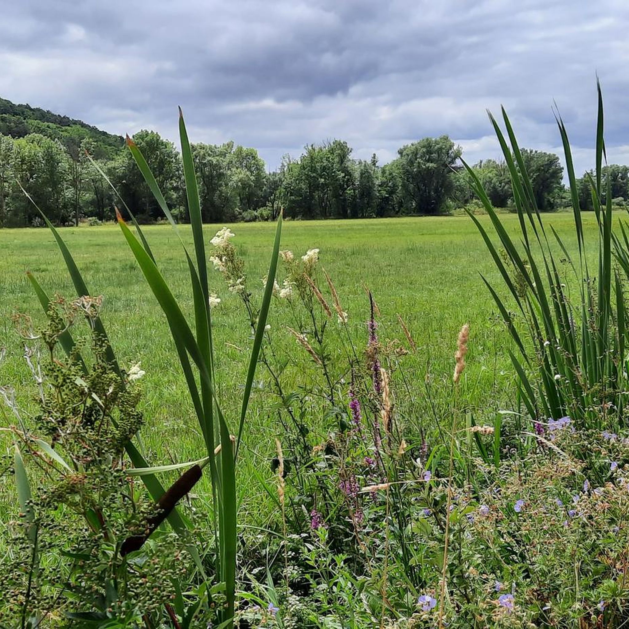
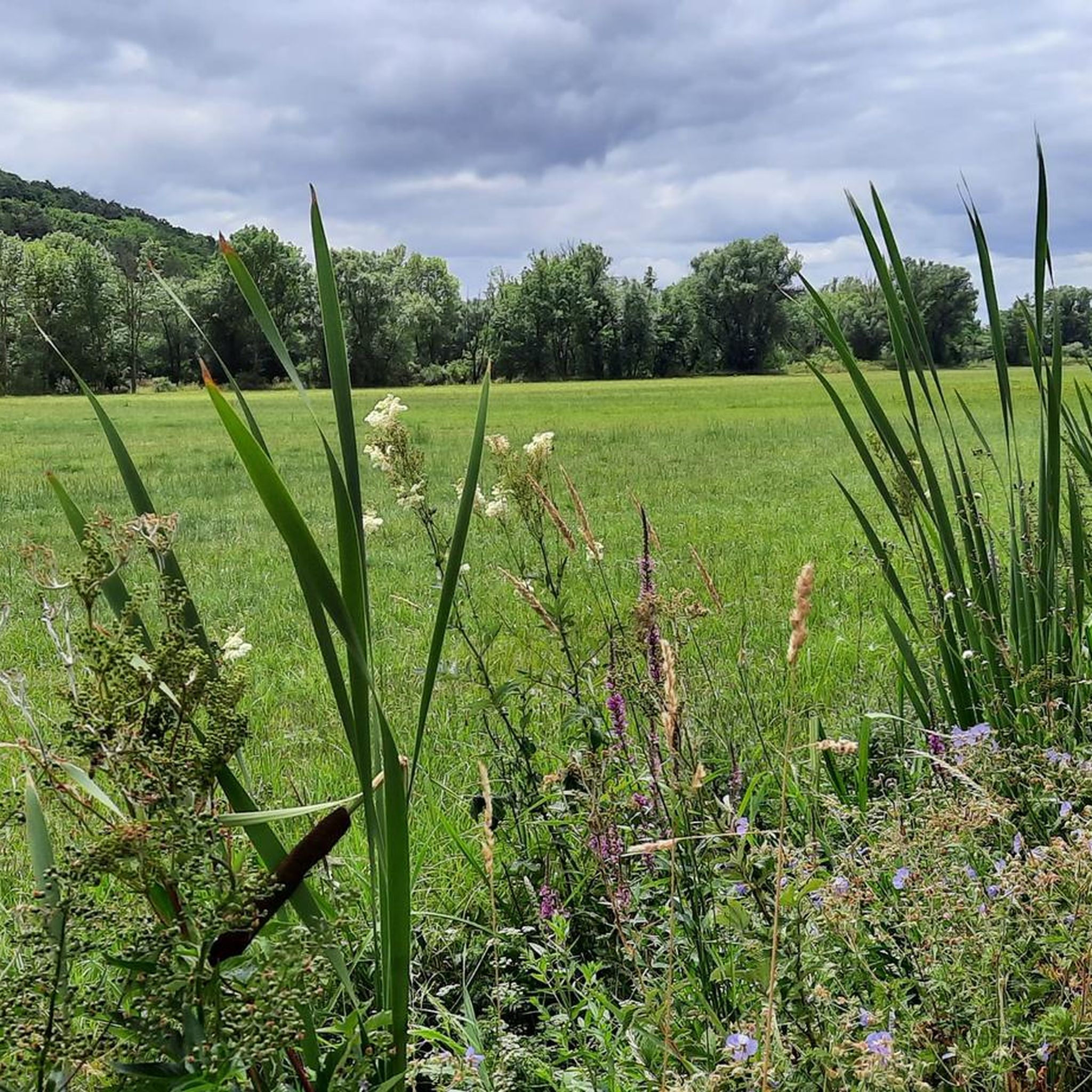
River valley of the Fränkische Saale at the foot of the Rhön in northern Unterfranken. Predominantly flat to gently rolling profile along the river meadows; ideal for beginners, families, as well as pleasure cyclists and hikers. Well-maintained (mostly asphalted or finely gravelled) paths, largely away from motorized road traffic.
3
0

beautiful cycle path along the Saale
0
0

The bridge is located in the Saalewiesen, a natural landscape that acts as a fresh air corridor for Bad Neustadt and Salz.
0
0

The Franconian Saale River flows right through Bad Neustadt and shapes the expansive meadow landscapes surrounding the town. From the bridge, there is a beautiful view of the river and the surrounding Saale meadows.
0
0

The Ruppelmühle is particularly well-known; it is housed in a brick building dating from 1900 and generates 90 kW of electricity through two turbines, primarily for the attached milling operation, where approximately 20 tons of grain are milled daily. (Wikipedia)
0
0

The stone bridge shown in the picture is the flood bridge in Steinach, a district of Bad Bocklet in Lower Franconia, Bavaria. The bridge was rebuilt in 2017 as part of a flood protection project and is part of a cycle path.
0
0

very nice to drive there too!
0
0
Frequently Asked Questions
How many touring cycling routes are available in Fränkische Saale Zwischen Heustreu Und Steinach?
There are 15 touring cycling routes in Fränkische Saale Zwischen Heustreu Und Steinach, offering a variety of experiences. These include 4 easy, 3 moderate, and 8 difficult routes, catering to different skill levels.
What kind of terrain can I expect on touring cycling routes in this region?
The region offers diverse terrain, from riverine paths along the Fränkische Saale to rolling hills and valleys within the Rhön Biosphere Reserve. You'll encounter scenic views along the water, through charming forests, and past vineyards, especially in the southern Saaletal.
Are there any easy touring cycling routes suitable for beginners or leisurely rides?
Yes, there are several easy routes. For a relaxed ride through the Saale river valley, consider the Saale River Pedestrian Bridge – View of Salz (Lower Franconia) loop from Unterebersbach, which is about 21.3 km long and takes around 1 hour 13 minutes.
Are there any circular touring cycling routes in the area?
Many routes in the region are designed as loops, allowing you to start and end in the same location. An example is the challenging Jörgentor City Gate (Münnerstadt) – View of the Rhön loop from Roth an der Saale, a 63.7 km route offering expansive views of the Rhön.
What are some notable landmarks or attractions I can see along the cycling routes?
Cyclists can discover various points of interest. You might encounter the unique Eagle and Snake Sculpture at Karl-Theodor Spring, or the historic Pilgrimage and parish church of the Annunciation. Nature lovers can also visit the 200-Year-Old Weeping Beech.
What is the best time of year to go touring cycling in Fränkische Saale Zwischen Heustreu Und Steinach?
The region is beautiful for cycling throughout the warmer months. Spring and autumn offer pleasant temperatures and vibrant scenery, especially when the vineyards are green or changing colors. Summer is also popular, but be prepared for potentially warmer weather.
Are there any routes that pass through charming villages or offer cultural experiences?
Yes, the region is known for its idyllic wine villages. Routes often pass through areas with a 'southern flair,' such as those near Hammelburg, Franconia's oldest wine town. You can experience historic buildings and local culture along the way.
What do other touring cyclists enjoy most about the routes in this region?
The routes in Fränkische Saale Zwischen Heustreu Und Steinach are highly rated by the komoot community, with an average score of 4.8 stars from over 30 reviews. Reviewers often praise the varied terrain, scenic river valleys, and the well-maintained paths that connect natural beauty with charming villages.
Are there any challenging touring cycling routes for experienced riders?
Absolutely. The region features 8 difficult routes for those seeking a challenge. An example is the Bad Kissingen Rose Garden – KissSalis Therme loop from Roth an der Saale, a 47.1 km path with significant elevation changes connecting a rose garden and thermal spa.
Can I find routes that combine natural scenery with specific points of interest like lakes?
Yes, some routes offer a mix of natural landscapes and specific attractions. Consider the moderate Saale Bridge, Hollstadt – Hohenrother Lake loop from Steinach, which covers 37.1 km and includes views of the Hohenrother Lake.
Are there any routes that highlight the river's features?
Many routes closely follow the Fränkische Saale river, offering continuous scenic views. The Fish Ladder at the Mill Weir – Langenleiten Village Entrance loop from Roth an der Saale is a challenging 33.1 km route that allows you to experience the river's natural elements, such as the fish ladder.
Most popular routes in Fränkische Saale Zwischen Heustreu Und Steinach
Most popular attractions in Fränkische Saale Zwischen Heustreu Und Steinach

Get inspired with the komoot mobile app


Explore more
Browse the best Cycling routes in other regions.
