The best running trails in Vogelhalde Sindringen-Ohrnberg
4.5
(257)
4,269
runners
334
runs
Jogging routes in Vogelhalde Sindringen-Ohrnberg traverse a diverse landscape within the Kocher river valley, featuring natural hillside forests and former vineyard slopes. The region is characterized by its riverine environment, offering paths alongside the Kocher river, and includes varied habitats like reed beds and wetlands. These natural features provide a scenic backdrop for running, with trails winding through protected areas known for their rich flora and fauna. The extensive network of paths accommodates various fitness levels, from easy riverside runs…
Last updated: July 15, 2026
10
runners
21.2km
02:17
250m
250m
Hard run. Very good fitness required. Mostly accessible paths. Some sure footedness required.
3
runners
25.1km
02:39
230m
230m
Hard run. Very good fitness required. Mostly paved surfaces. Suitable for all skill levels.

Sign up for free
3.0
(2)
4
runners
6.75km
00:44
120m
120m
Moderate run. Good fitness required. Mostly paved surfaces. Suitable for all skill levels.
3
runners
12.5km
01:21
190m
190m
Moderate run. Good fitness required. Mostly paved surfaces. Suitable for all skill levels.
2
runners
7.14km
00:47
150m
150m
Moderate run. Good fitness required. Mostly paved surfaces. Suitable for all skill levels.
Get access to more routes and recommendations from other explorers.
Sign up for free
Already have an account?
Our route recommendations are based on thousands of hikes, rides, and runs completed by other people on komoot.
Start today with a free account
Your next adventure awaits.
Login or Signup

Tips from the Community

Hydroelectric power plant in Sindringen Hohenlohe
0
0

Drinks and pizza. Toilet in the train car
0
0

Bridge with information panel and magnificent view of the Kocher Canal.
6
0
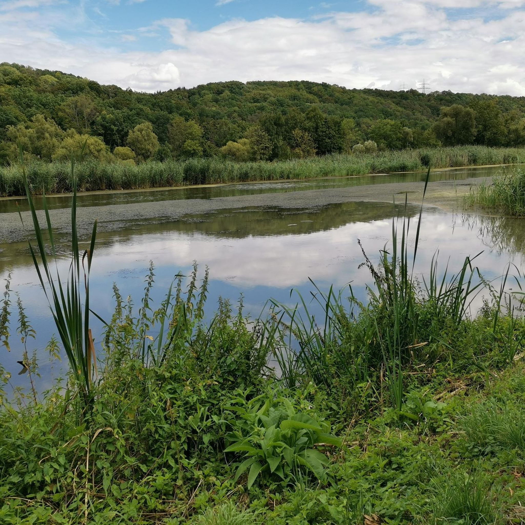
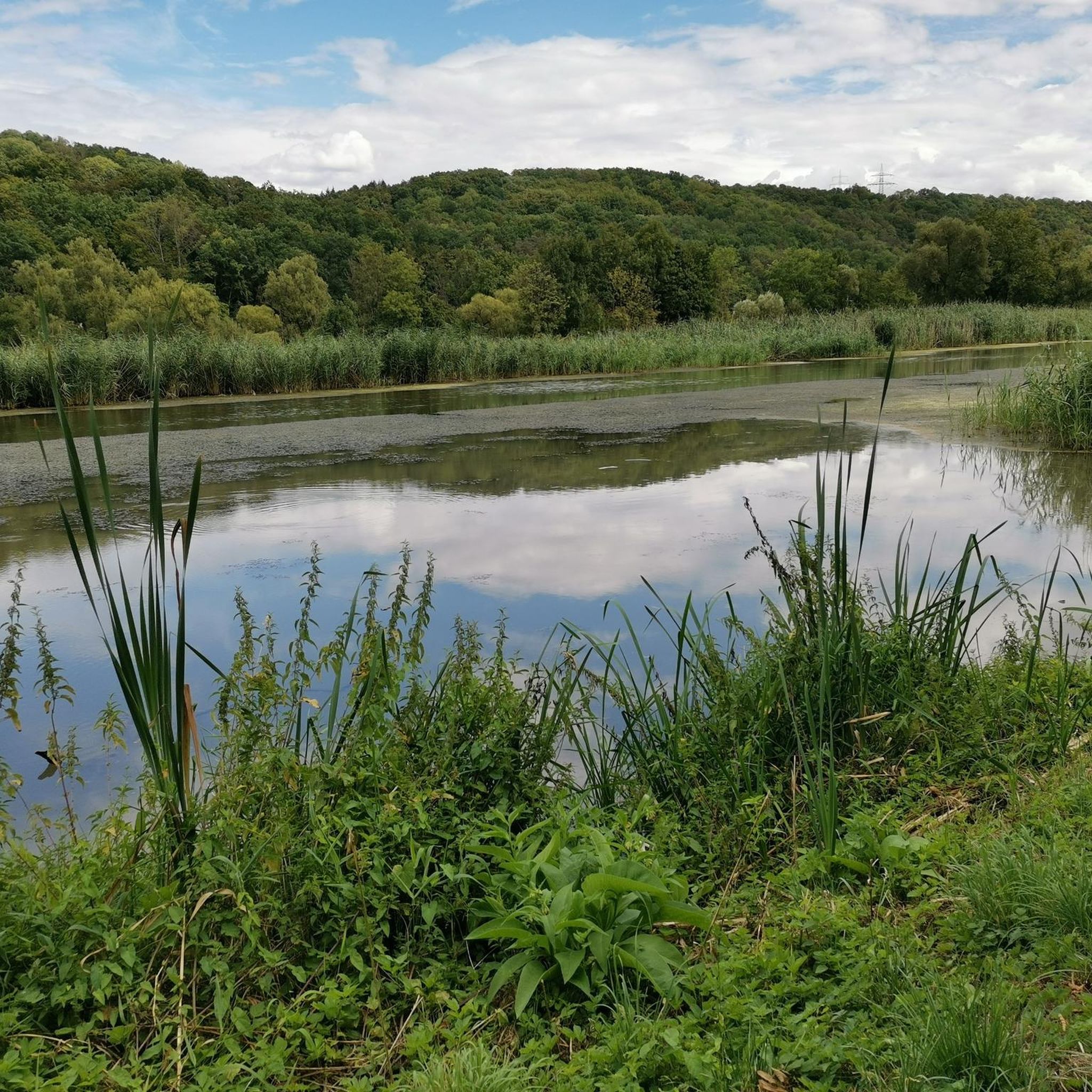
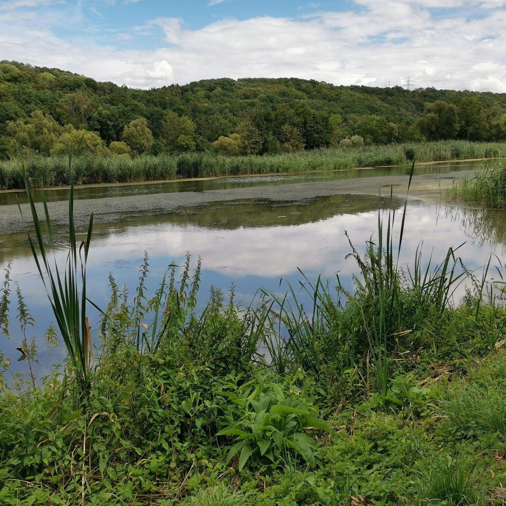
The "Vogelhalde Sindringen-Ohrnberg" nature reserve in the lower Kocher valley has been home to one of the largest grey heron colonies in the Stuttgart administrative district for decades. At 216 hectares, the area is unique, being the largest of the 21 nature reserves in the Hohenlohe district.
5
0
Former railway bridge of the Lower Kochertal Railway, which is now used as a pedestrian and bicycle path and also offers beautiful views of the Kocher river.
6
0
Former station of the lower Kochertal railway. Today, a small restaurant is located here.
6
0
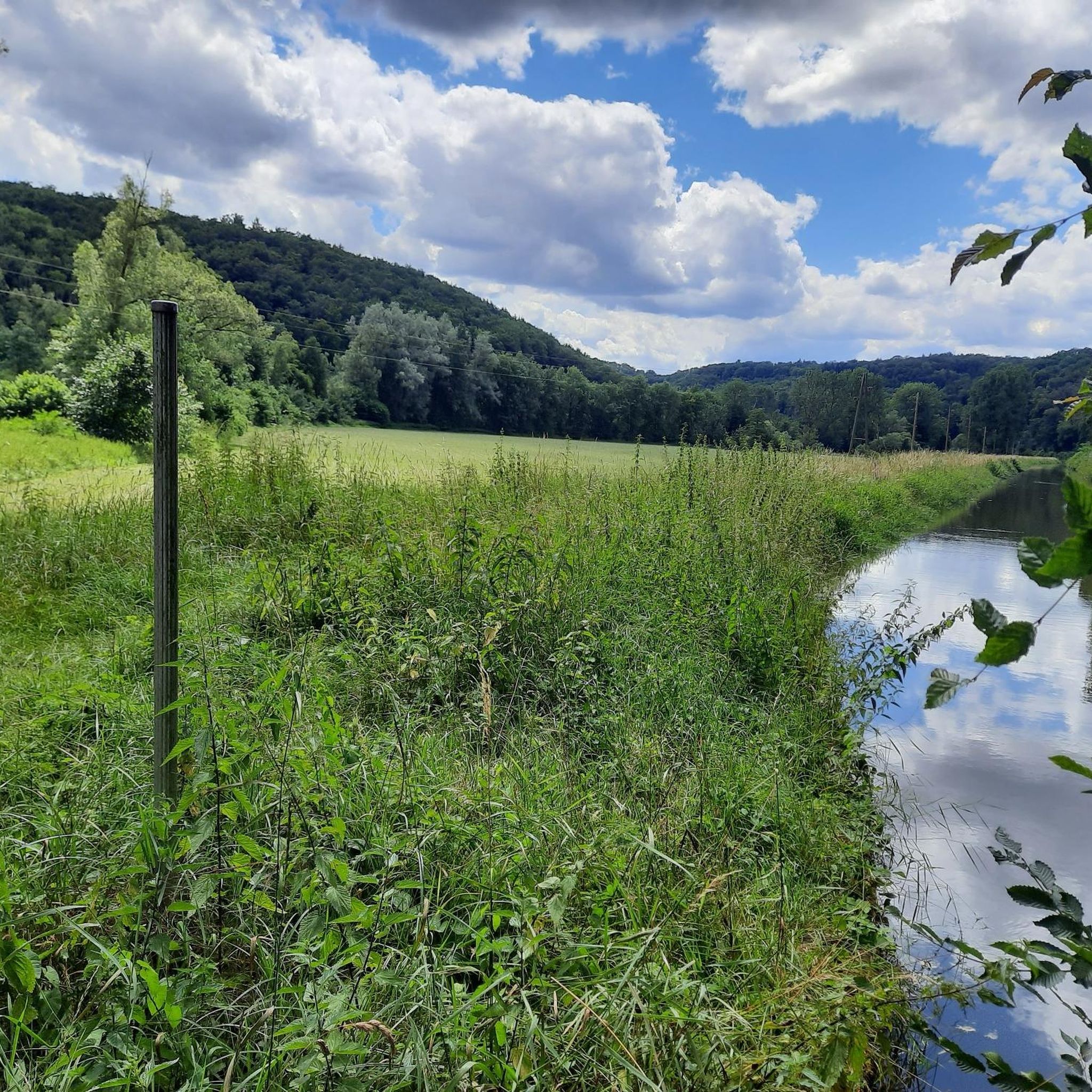
Dam for hydropower energy generation on the Kocher Canal.
5
0
Frequently Asked Questions
How many running routes are available in Vogelhalde Sindringen-Ohrnberg?
Vogelhalde Sindringen-Ohrnberg offers a wide selection of over 300 running routes. These routes cater to various fitness levels, with options ranging from easy riverside paths to more challenging trails through the hills.
What kind of terrain can I expect on the jogging trails in Vogelhalde Sindringen-Ohrnberg?
The jogging trails in Vogelhalde Sindringen-Ohrnberg feature diverse terrain. You'll find paths winding through the picturesque Kocher river valley, natural hillside forests, and former vineyard slopes. The area also includes varied habitats like reed beds and wetlands, offering a mix of surfaces and scenic backdrops.
Are there any easy or beginner-friendly running routes in the region?
Yes, Vogelhalde Sindringen-Ohrnberg has plenty of options for beginners and those looking for an easy run. Approximately 44 of the routes are classified as easy, often following well-maintained paths along the Kocher river or through gentle countryside. For example, the 5 km section of the cycle path between Sindringen and Ohrnberg is ideal for a relaxed jog.
What natural features or attractions can I see while running in Vogelhalde Sindringen-Ohrnberg?
While running in Vogelhalde Sindringen-Ohrnberg, you can enjoy the scenic Kocher river valley, dense hillside forests, and former vineyard slopes. The area is also known for its rich birdlife, including a large grey heron colony. You might spot various bird species, and the landscape itself is a mosaic of shrub groups, hedges, riparian woodlands, and floodplain meadows. You can also explore the Kocher Canal or sections of the Kocher–Jagst Cycle Path.
Are there any circular running routes in Vogelhalde Sindringen-Ohrnberg?
Yes, many of the running routes in Vogelhalde Sindringen-Ohrnberg are circular, allowing you to start and end at the same point. A popular moderate option is the Daffodils loop from Ohrnberg, which is 6.6 km long. Another moderate circular route is the Helenenquelle – St. Michael's Church, Ohrnberg loop from Ohrnberg, covering 12.2 km.
What do other runners say about the trails in Vogelhalde Sindringen-Ohrnberg?
The running routes in Vogelhalde Sindringen-Ohrnberg are highly rated by the komoot community, with an average score of 4.4 stars from over 250 reviews. Runners often praise the varied terrain, the beautiful river valley scenery, and the well-maintained paths that cater to different ability levels.
Is Vogelhalde Sindringen-Ohrnberg suitable for longer, more challenging runs?
Absolutely. For those seeking a more challenging run, Vogelhalde Sindringen-Ohrnberg offers 43 difficult routes. An example is the St. Michael's Church, Ohrnberg – Kocher Cycle Path loop from Ohrnberg, a demanding 21.0 km path that follows sections of the picturesque Kocher Cycle Path and includes significant elevation changes.
Are there any routes that pass by historical or man-made landmarks?
While the region is primarily known for its natural beauty, some routes may pass by points of interest. For example, the St. Michael's Church, Ohrnberg – Kocher Cycle Path loop from Ohrnberg starts near St. Michael's Church. You might also encounter the Sindringen-Ohrnberg Hydroelectric Power Plant along some paths.
What is the best time of year to go running in Vogelhalde Sindringen-Ohrnberg?
Vogelhalde Sindringen-Ohrnberg is beautiful year-round, but spring and autumn are particularly pleasant for running. In spring, the area comes alive with rich flower meadows, and in autumn, the hillside forests display vibrant colors. The region is also an important resting place for migratory birds during these seasons, adding to the natural spectacle.
Are there any running routes suitable for families with children?
Yes, the region offers family-friendly options, especially the easier, flatter paths along the Kocher river. These well-maintained sections are suitable for all ages and fitness levels, allowing families to enjoy a run or walk together amidst nature.
Where can I find parking for the running trails in Vogelhalde Sindringen-Ohrnberg?
While specific parking spots for every trail are not listed, the area is generally accessible. Many routes, such as those starting from Ohrnberg, likely have parking available in or near the village. The Sportheim in Ohrnberg is also mentioned as a starting point for several routes, suggesting parking facilities there.
Are there any cafes or places to eat near the running routes?
The villages of Sindringen and Ohrnberg, which are central to many running routes, offer amenities such as cafes and restaurants. After your run, you can find places to refresh and refuel in these local communities.
Most popular routes in Vogelhalde Sindringen-Ohrnberg
Most popular attractions in Vogelhalde Sindringen-Ohrnberg

Get inspired with the komoot mobile app


Explore more
Browse the best Running Trails & Routes in other regions.
