Nationalpark Hunsrück-Hochwald
Nationalpark Hunsrück-Hochwald
The best running trails in Nationalpark Hunsrück-Hochwald
4.7
(48)
885
runners
19
runs
Jogging routes in Nationalpark Hunsrück-Hochwald traverse a diverse natural landscape, characterized by rustic forests, ancient beech stands, and varied topography. The region features rare moors, rocky ridges, and weathered boulders, offering dynamic terrain for runners. With the Erbeskopf reaching 816 meters, the park presents significant altitude differences and challenging sections for those seeking elevation.
Best jogging routes in Nationalpark Hunsrück-Hochwald
- The most popular jogging route is Primstalsperre Dam – Züscher Hammer Ironworks loop from Nonnweiler, a 9.6 miles (15.4…
Last updated: October 3, 2026
4.5
(19)
377
runners
15.4km
01:39
210m
210m
Hard run. Very good fitness required. Mostly paved surfaces. Suitable for all skill levels.
4.4
(10)
141
runners
8.12km
00:52
90m
90m
Moderate run. Good fitness required. Mostly paved surfaces. Suitable for all skill levels.

5.0
(8)
126
runners
11.0km
01:11
120m
120m
Moderate run. Good fitness required. Mostly paved surfaces. Suitable for all skill levels.
66
runners
28.2km
03:01
360m
360m
Hard run. Very good fitness required. Mostly paved surfaces. Suitable for all skill levels.
4.3
(8)
55
runners
Moderate run. Good fitness required. Mostly paved surfaces. Suitable for all skill levels.
Get access to more routes and recommendations from other explorers.
Already have an account?
Our route recommendations are based on thousands of hikes, rides, and runs completed by other people on komoot.
Start today with a free account
Your next adventure awaits.
Popular around Nationalpark Hunsrück-Hochwald

Saar-Hunsrück Climb – Hike in Germany where culture and nature meet
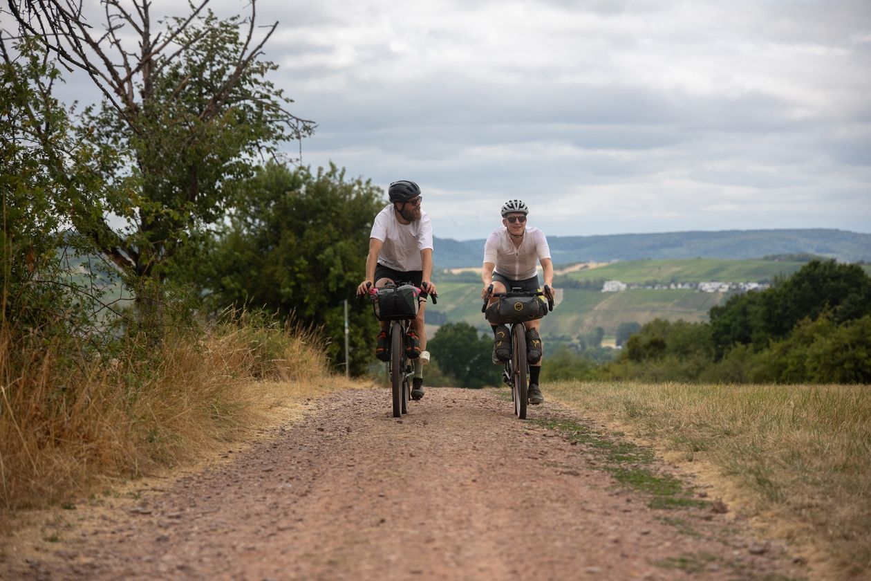
Saarland Gravel Loop: a three-border bikepacking tour
The National Natural Landscapes in Rheinland-Pfalz
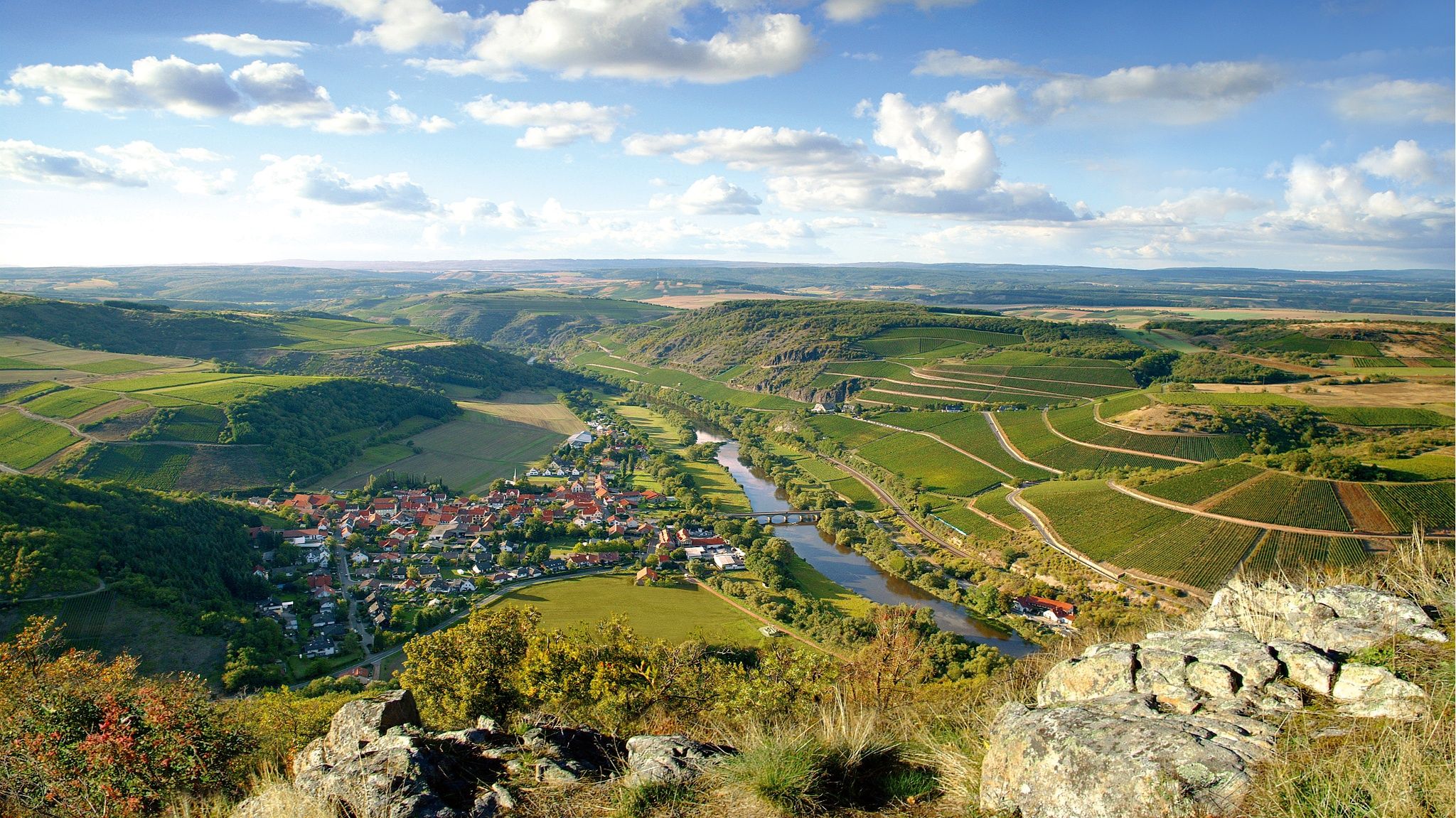
Top 10 hiking loops on the Nahe – Dream Loops and Vitaltours
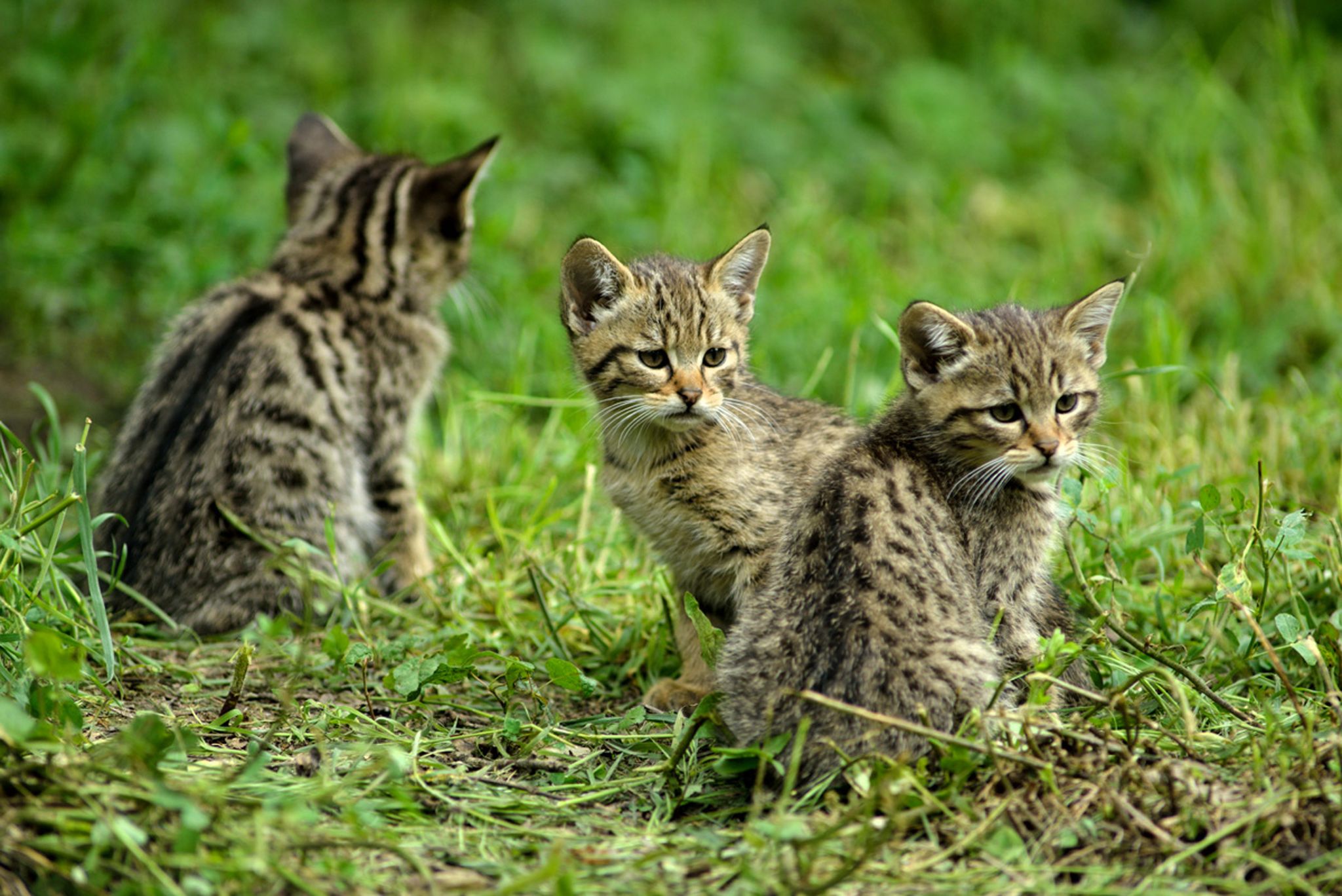
Hike with BUND on the trail of the European wildcat
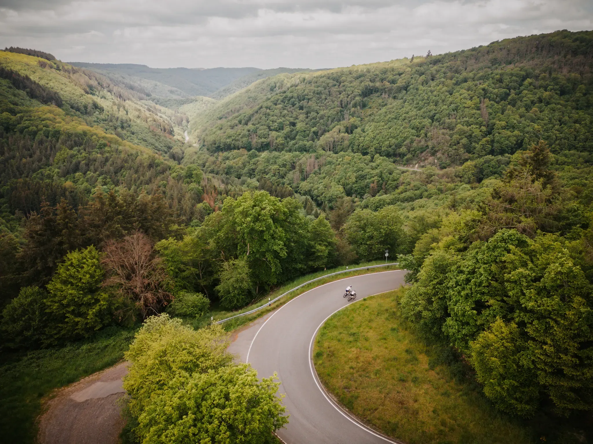
Make your road cycling dreams come true in the Hunsrück-Nahe region
Satisfy your Wanderlust – premium hiking trails in Saarland

Lowest to Highest (L2H) in Germany

Countless trails, nature & history – hiking in Saarland
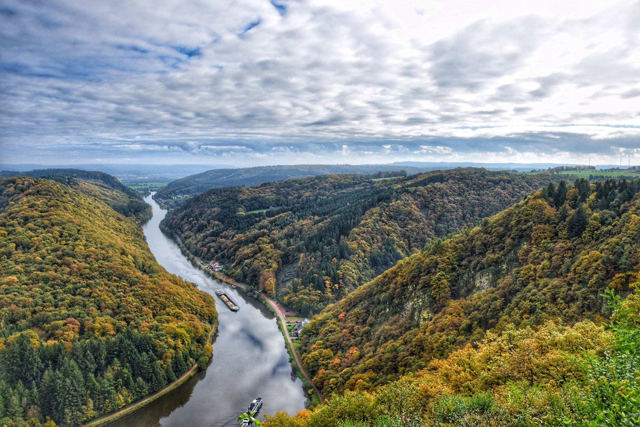
10 enchanting hikes through wild nature in Saarland
Other adventures in Nationalpark Hunsrück-Hochwald


Tips from the Community

Super view from the plateau onto the reservoir
0
0

Very beautiful place of peace.
0
0
A beautiful body of water with a few seating options.
0
0
A very relaxing place.
0
0
On that day there were some anglers in the area, otherwise it was very quiet there.
0
0

At the beginning of the Dream Loop LandZeitTour you get your first glimpse of the Steinbach Dam, which is circled on this dream loop.
0
0
Seven slate steles arranged in a cross shape offer a panoramic view of the municipalities of Allebach-Wirschweiler-Sensweiler-Langweiler-Kempfeld. In view are the "Wildenburg" to the east, the "Hohenfels" and the "Kirschweiler Fortress" to the southeast, the "Ringkopf" as a Celtic ring wall to the south, the "Erbeskopf" (Erbe's Head) at 816 m to the southwest, and the "Idarwald Ski Area" mountain range to the north. The position of the sun creates a form of time measurement via the shadows cast by the steles. The installation is accessible and makes the monumental energy of millions of years old slate, which was once the seabed, tangible, opening up different perspectives and possibilities for perception. Artist: XO Gerd Edinger
0
0

Just before reaching the viewing rock or as a final hike through the recreational area, this modernly renovated shelter offers both shelter from the wind and tranquility. The combination of natural stone, wood, and an information board makes it a welcome stopover in the snow-covered Hunsrück Forest. 💡 Tip 🌨️ Don't just use the hut for a rest – a glance at the information board inside provides guidance for the next highlights, such as the Pulpit Rock or the Burrkante.
0
1
Frequently Asked Questions
How many running routes are available in Nationalpark Hunsrück-Hochwald?
Nationalpark Hunsrück-Hochwald offers a diverse network of over 20 running routes. These trails cater to various fitness levels, with options ranging from 3 easy paths to 11 moderate and 7 difficult routes, ensuring a suitable challenge for every runner.
What kind of terrain can I expect on the running trails in Nationalpark Hunsrück-Hochwald?
The park's running trails feature a varied and dynamic terrain. You'll encounter rustic forests, including ancient beech stands, rare moors, rocky ridges, and weathered boulders. With the Erbeskopf reaching 816 meters, expect significant altitude differences and challenging sections, especially on more difficult routes. The landscape transitions from dense woodlands to more open areas, offering a rich natural experience.
Are there any family-friendly running paths in the Nationalpark Hunsrück-Hochwald?
Yes, the park offers several family-friendly running paths, particularly among its easy and moderate routes. These trails often feature gentler elevation changes and scenic surroundings suitable for a family outing. For example, the Running loop from Herrstein-Rhaunen is a moderate 7.8 km path that provides a scenic experience with gentle elevation changes, which can be enjoyable for families.
Can I bring my dog on the running trails in Nationalpark Hunsrück-Hochwald?
Nationalpark Hunsrück-Hochwald is generally dog-friendly, allowing you to enjoy the trails with your canine companion. However, it's crucial to keep your dog on a leash at all times to protect the park's diverse wildlife, including one of Europe's largest wildcat populations, and to respect other visitors. Always ensure you clean up after your pet.
Are there any circular running routes in the park?
Yes, many of the running routes in Nationalpark Hunsrück-Hochwald are designed as circular loops, allowing you to start and end at the same point. For instance, the challenging Primstalsperre Dam – Züscher Hammer Ironworks loop from Nonnweiler is a popular 15.4 km circular trail. Another option is the Züscher Hammer Ironworks – Züscher Hammer loop from Otzenhausen, a 9.5 km moderate circular route.
What interesting sights or landmarks can I see while running in the park?
The park's trails lead past a variety of natural and historical landmarks. You can discover ancient Celtic relics like the impressive Celtic ring wall in Otzenhausen, or medieval castle ruins such as Wildenburg. Natural features include rare moors like the Ehlesbruch Moor Boardwalk and the Ochsenbruch Moor Boardwalk, as well as unique rock formations like the Mannfels Rock Formation. The Kirschweiler Fortress is another notable natural monument.
Where can I find parking for the running trails?
Parking is available at various trailheads and National Park Gates throughout the region. For example, routes like the Züscher Hammer – View of Nonnweiler Dam loop from Nonnweiler often have designated parking areas nearby. The visitor centers, such as the one at Erbeskopf, also provide facilities including parking for easy access to the trails.
Is public transport available to reach the Nationalpark Hunsrück-Hochwald?
Yes, public transport options are available to reach various entry points of Nationalpark Hunsrück-Hochwald. While direct access to every trailhead might require some planning, regional bus services connect surrounding towns and villages to the park. It's advisable to check local transport schedules for the most convenient connections to your desired starting point.
What do other runners enjoy most about jogging in Nationalpark Hunsrück-Hochwald?
The running experience in Nationalpark Hunsrück-Hochwald is highly rated by the komoot community, with an average score of 4.7 stars from nearly 40 reviews. Runners often praise the diverse and wild natural landscape, the tranquility of the ancient beech forests, and the variety of challenging and scenic trails. The commitment to 'let nature be nature' creates a unique and engaging environment for outdoor enthusiasts.
Are there any specific events or organized runs in the park?
Yes, for those seeking a more organized running experience, the Hunsrück-Trail is an annual trail running event held within the national park. It features various distances, typically ranging from 3 km to 25 km, allowing participants to experience the natural beauty and challenging terrain firsthand in a competitive or recreational setting.
What is the best season for running in Nationalpark Hunsrück-Hochwald?
Nationalpark Hunsrück-Hochwald offers a unique running experience in every season. Spring brings blooming flora and fresh air, while summer provides lush green forests. Autumn transforms the landscape with vibrant colors, making it particularly picturesque. Winter running can be magical, with snow-covered trails, though conditions may be more challenging. The varied topography means temperatures and conditions can differ, so checking local forecasts is always recommended.
Are there any longer, more challenging running routes for experienced runners?
Absolutely. For experienced runners seeking a challenge, the park offers several difficult routes with significant elevation changes. The Primstalsperre Dam – Züscher Hammer Ironworks loop from Nonnweiler, at 15.4 km with over 213 meters of elevation gain, is classified as difficult and provides varied terrain. These routes often traverse the higher elevations and more rugged sections of the park, including areas around the Erbeskopf.
Most popular routes in Nationalpark Hunsrück-Hochwald
Most popular attractions in Nationalpark Hunsrück-Hochwald

Get inspired with the komoot mobile app


Explore more
Browse the best Running Trails & Routes in other regions.
