The best road cycling routes around Hohendubrau
4.5
(128)
1,120
riders
120
rides
Road cycling routes around Hohendubrau traverse a diverse landscape characterized by hilly terrain, ancient mixed forests, and a varied lake district. The region offers a range of inclines, from gentle slopes to more challenging ascents, making it suitable for different fitness levels. Cyclists can explore shaded routes through forests and picturesque paths around numerous ponds and lakes. This combination of natural features provides a scenic and engaging backdrop for road cycling.
Best road cycling routes around Hohendubrau
- The most popular…
Last updated: September 29, 2026
18
riders
Moderate road ride. Good fitness required. Some segments of this route may be unpaved and difficult to ride.
13
riders
42.0km
01:43
130m
130m
Moderate road ride. Great for any fitness level. Some segments of this route may be unpaved and difficult to ride.

7
riders
37.8km
01:40
150m
150m
Moderate road ride. Great for any fitness level. Some segments of this route may be unpaved and difficult to ride.
7
riders
Easy road ride. Great for any fitness level. Mostly well-paved surfaces and easy to ride.
3
riders
70.2km
02:50
240m
240m
Moderate road ride. Good fitness required. Some segments of this route may be unpaved and difficult to ride.
Get access to more routes and recommendations from other explorers.
Already have an account?
Our route recommendations are based on thousands of hikes, rides, and runs completed by other people on komoot.
Start today with a free account
Your next adventure awaits.
Tips from the Community

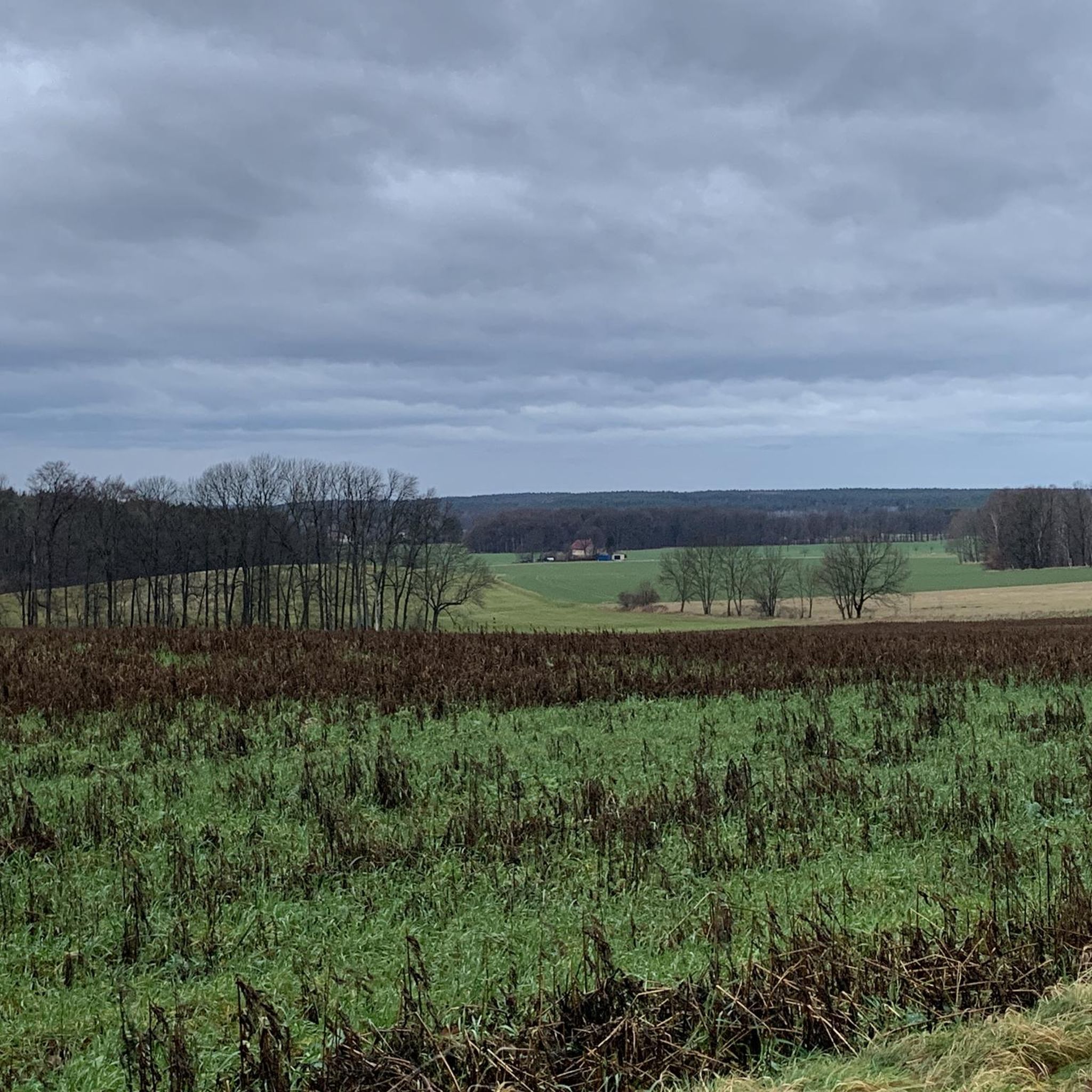
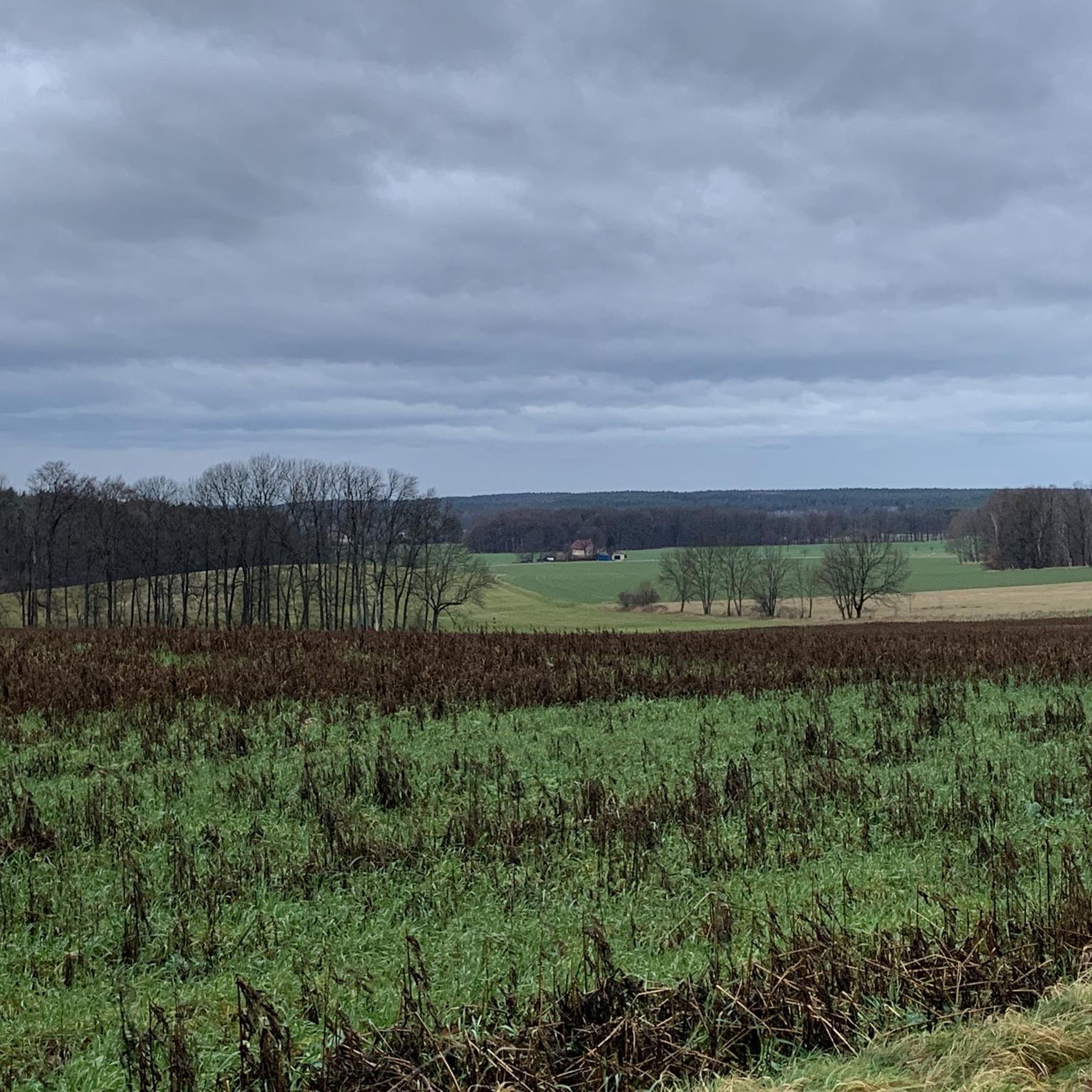
It's a great place for hiking. The Seeperle restaurant is a good place to stop for a snack.
0
0
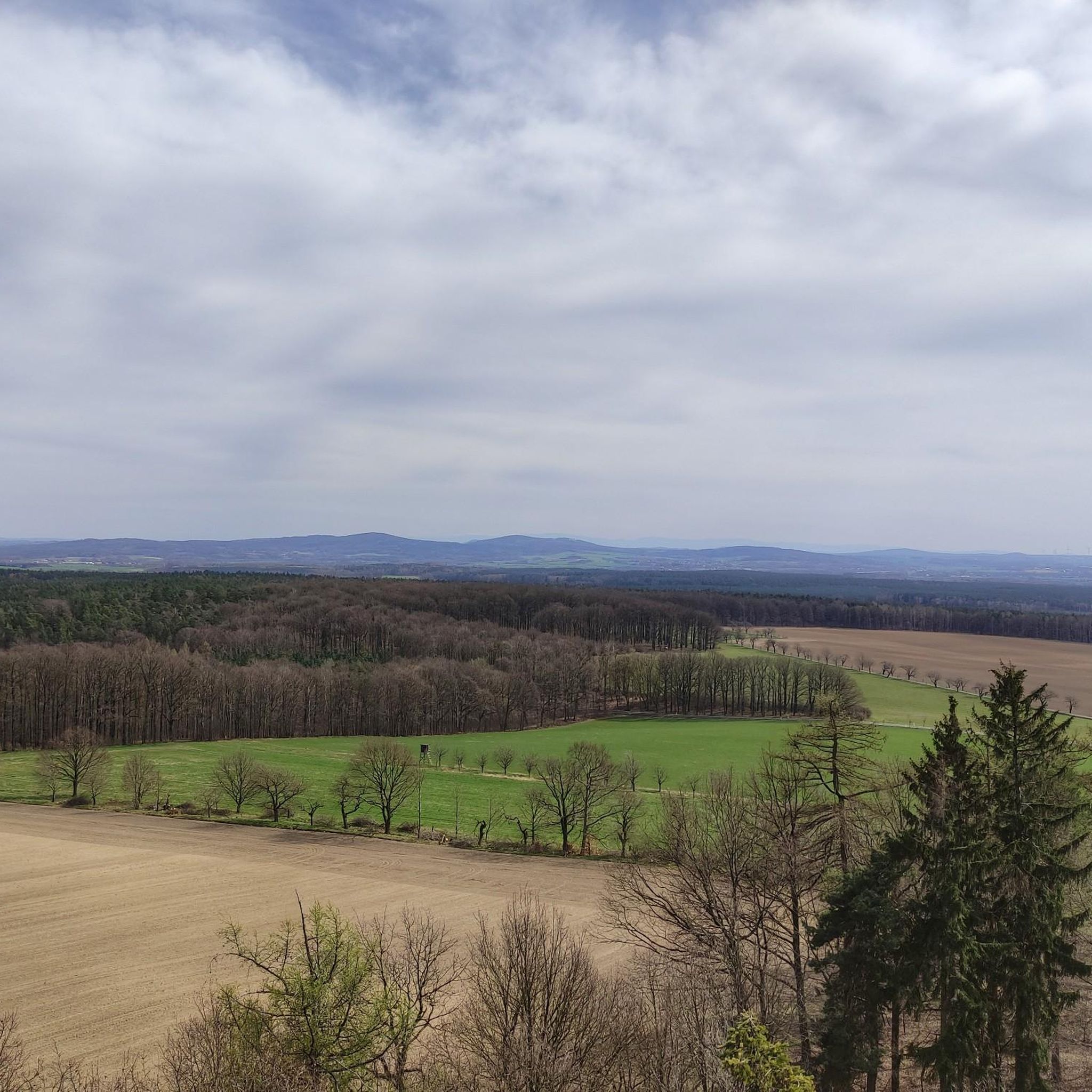
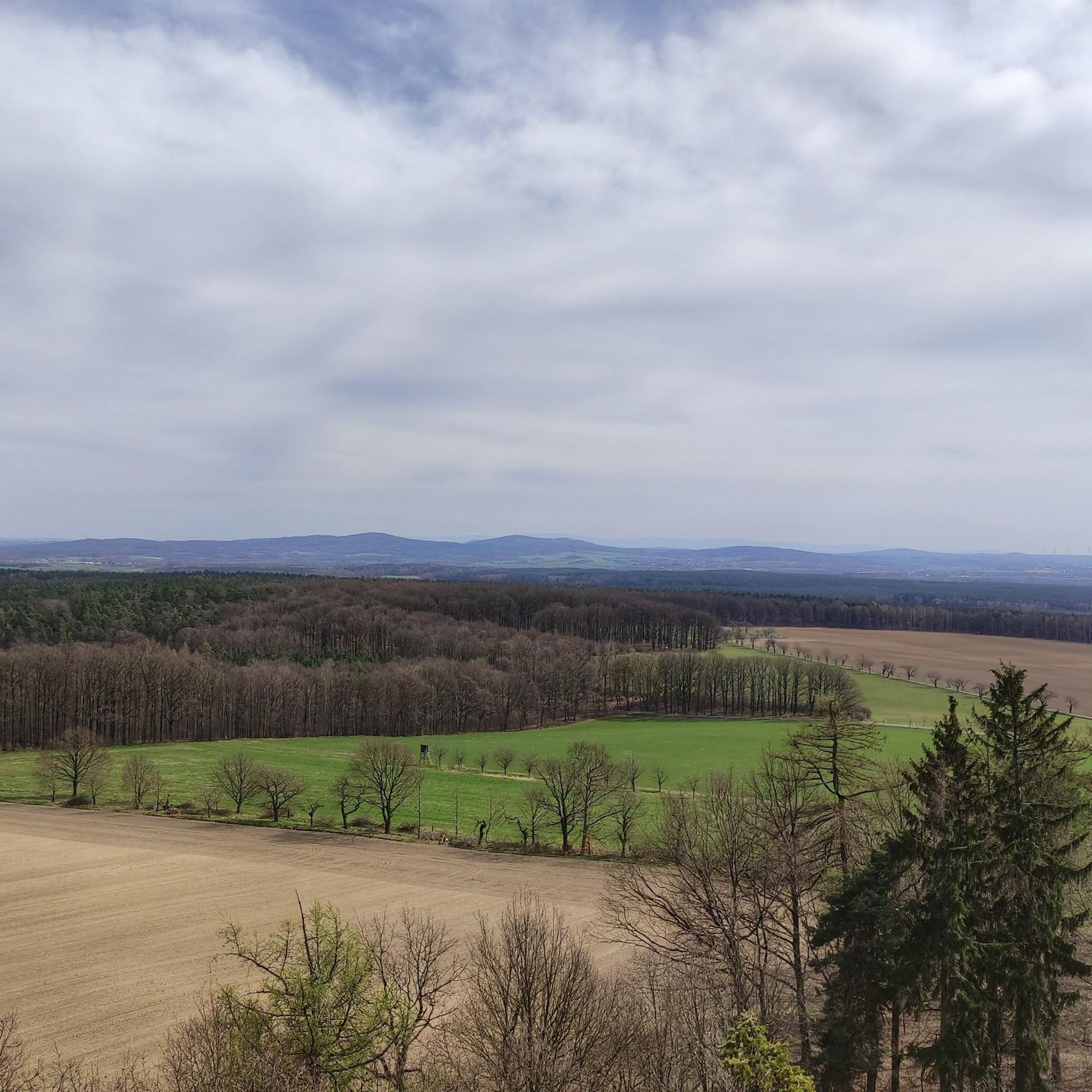
It is a beautiful view of the lake.
0
0

Church in Rietschen. Always recommended for a short tour.
0
0

The UNESCO Biosphere Reserve Upper Lusatian Heath and Pond Landscape is located in eastern Saxony. The 300-square-kilometer area is the largest contiguous pond area in Germany. Ponds, moors, heaths, and dunes provide a protected habitat for endangered animal and plant species. At the House of a Thousand Ponds in Malschwitz, you can learn fascinating facts about the region and its unique natural environment. Further information: https://nationale-naturlandschaften.de/gebiete/biosphaerenreservat-oberlausitzer-heide-und-teichlandschaft
2
0

The church was consecrated in 1916. The Rietschen church is a plastered building with a broad, east-facing west tower. The six-story tower has three sound openings on the west and east sides in the bell storey, and two sound openings on the north and south sides. The tower is topped by the beginning of a pyramidal roof with a copper-plated top with a lantern and onion dome. To the north of the tower is the single-story sacristy with a hipped roof and a round-arched entrance portal. On the south wall of the tower is a vestibule with an adjoining stair tower, which also has a round-arched portal. The nave has tall round-arched windows, with an entrance below the central window on the north side. A wooden porch with a hipped roof and a bat-shaped dormer is attached to the east wall, and in the center of the wall is the round-arched entrance to a vestibule. The nave is covered with a gable roof, at the end of which is an octagonal turret.
0
0

After the parish was founded in 1892, the foundation stone for the Christ Church was laid five years later in the settlement of Neu-Ödernitz on the territory of the then municipality of Ödernitz. Construction began in October 1898. The topping-out ceremony was celebrated on August 31, 1899, and the church was consecrated on July 15, 1900. The church is a neo-Romanesque building made of red brick. The relatively large church has two transepts, each with round-arched groups of three windows. On the east wall there is a chancel with buttresses, also with a round-arched group of three windows made of leaded glass, and to the south of it there is a single-storey sacristy. The wide west tower continues in a square shape from the bell floor. The tower is topped with a six-sided pointed roof with small corner turrets, each of which has tower balls on top.
0
0

With an area of 13 km², Lake Bärwalde (also called Speicher Bärwalde, Upper Sorbian Bjerwałdski jězor) is the largest lake in Saxony and the third largest lake in the Lusatian Lake District. It is located in the Upper Lusatian municipality of Boxberg/O.L. between the towns of Boxberg, Klitten and Uhyst. The eponymous town of Bärwalde lies north of the lake.
0
0
Frequently Asked Questions
How many road cycling routes are available in Hohendubrau?
Hohendubrau offers over 130 road cycling routes, catering to various skill levels. You'll find a good mix of easy, moderate, and challenging rides to explore the region's diverse landscape.
What kind of terrain will I encounter on road cycling routes in Hohendubrau?
The region is characterized by its distinctive hilly terrain, including the Hohe Dubrau itself, which is the highest elevation in the Upper Lusatian Heath and Pond Landscape. You can expect a variety of inclines, from gentle slopes to more challenging ascents, alongside routes through ancient mixed forests and picturesque lake districts.
Are there road cycling routes suitable for beginners or families in Hohendubrau?
Yes, Hohendubrau has numerous options for easier rides. Over 50 routes are classified as easy, featuring flatter profiles and mostly paved surfaces. A great example is the Fortuna Soft Ice Cream – Olbasee loop from Hohendubrau - Wysoka Dubrawa, which is an easy 26.1-mile path perfect for a relaxed ride around Olbasee.
Where can I find more challenging road cycling routes in Hohendubrau?
For those seeking a greater challenge, Hohendubrau offers nearly 80 moderate routes and a few difficult ones with significant elevation changes. The Hochkirch Church – Rail trail loop from Weißenberg - Wóspork is a popular moderate route, covering 36 miles with substantial elevation gain, providing a good workout.
What natural features can I expect to see along the road cycling routes?
You'll cycle through ancient mixed forests, offering shaded routes, and past a diverse lake landscape. Routes often feature picturesque paths around numerous ponds and lakes, such as the Tauerwiesenteich – Peiskerteich loop, and the broader Lusatian Lake District is also nearby.
Are there any viewpoints or observation towers along the cycling routes?
Yes, the region offers several excellent viewpoints. The Hochstein Observation Tower provides panoramic views over Lusatia and is a great mid-ride stop. There's also an observation tower on Monument Mountain near Groß Radisch.
What do other cyclists say about road cycling in Hohendubrau?
The road cycling routes in Hohendubrau are highly rated by the komoot community, with an average score of 4.5 stars from over 120 reviews. Cyclists often praise the varied terrain, the scenic beauty of the forests and lakes, and the options available for different fitness levels.
Are there any historical landmarks or castles to see while cycling?
Absolutely. You can incorporate visits to several historical sites. Notable castles in the vicinity include Gröditz Castle, Milkel Castle, and Krobnitz Castle. These offer interesting stops to explore the region's rich history.
When is the best time of year for road cycling in Hohendubrau?
The spring and autumn months generally offer pleasant temperatures and beautiful scenery for road cycling. During warmer months, the ancient mixed forests provide refreshing shaded routes. The diverse lake landscape is particularly appealing in milder weather.
Are there loop trails available for road cyclists?
Many of the road cycling routes in Hohendubrau are designed as loops, allowing you to start and end at the same point. For instance, the Bärwalder See – View of Bärwalder Lake loop from Kleinsaubernitz - Zubornička is a popular 45-mile loop offering extensive lake views.
Can I find places to eat or drink along the road cycling routes?
While specific cafes and pubs are not detailed for every route, the region's popularity for outdoor activities suggests that you will find opportunities for refreshments in towns and villages along the way. Planning your route to pass through larger settlements will increase your chances of finding suitable stops.
Is parking available for cyclists in Hohendubrau?
Yes, parking is generally available in the towns and villages that serve as starting points for many of the cycling routes. It's advisable to check specific starting locations for designated parking areas, especially for popular routes.
Most popular routes around Hohendubrau
Most popular attractions around Hohendubrau

Get inspired with the komoot mobile app


Explore more
Browse the best Road cycling routes in other regions.
