The best walks and hikes in Michelbachtal (Lsg)
4.5
(19220)
71,018
hikers
1,618
hikes
Hiking in Michelbachtal (Lsg) offers a diverse range of trails within the Landkreis Rastatt region, characterized by varied landscapes and natural features. The area includes panoramic viewpoints like the Bernsteinfels overlooking the Murgtal, and historical paths marked by border stones. Trails often traverse through tranquil natural settings, providing options for different fitness levels.
Best hiking trails in Michelbachtal (Lsg)
- The most popular hiking route is Watermill in Michelbach – Michelbach Historic Wine Trail loop from Michelbach, a 4.3 miles…
Last updated: July 8, 2026
4.5
(24)
113
hikers
6.89km
01:57
160m
150m
Easy hike. Great for any fitness level. Easily-accessible paths. Suitable for all skill levels.
4.6
(16)
66
hikers
7.09km
01:57
110m
110m
Easy hike. Great for any fitness level. Easily-accessible paths. Suitable for all skill levels.

Sign up for free
4.5
(21)
73
hikers
17.1km
05:24
690m
690m
Hard hike. Very good fitness required. Easily-accessible paths. Suitable for all skill levels.
4.9
(7)
37
hikers
Moderate hike. Good fitness required. Easily-accessible paths. Suitable for all skill levels.
4.8
(14)
78
hikers
5.97km
01:48
200m
200m
Easy hike. Great for any fitness level. Easily-accessible paths. Suitable for all skill levels.
Get access to more routes and recommendations from other explorers.
Sign up for free
Already have an account?
Our route recommendations are based on thousands of hikes, rides, and runs completed by other people on komoot.
Start today with a free account
Your next adventure awaits.
Login or Signup
Tips from the Community

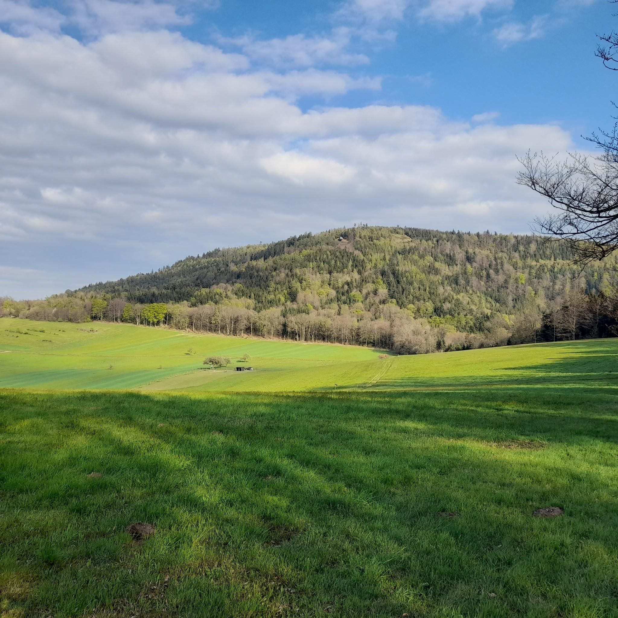
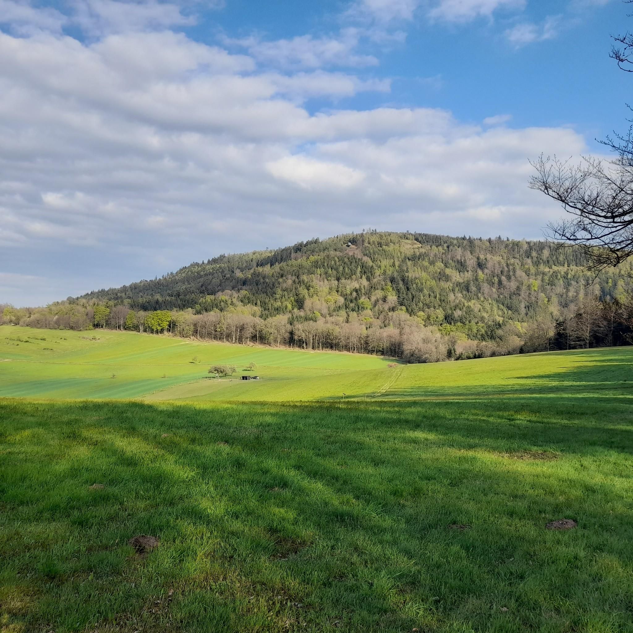
The history of the Gaggenau districts of Michelbach and Moosbronn, and the Bad Herrenalb district of Bernbach, is uniquely linked to the former state border between Baden and Württemberg. The so-called "wasp's waist" of the old state of Baden lay in the Michelbach district. At its narrowest point, it is only 17.2 kilometers from the Württemberg border to the Rhine. In the pilgrimage site of Moosbronn, the state border ran right through the village. Since the founding of the state of Baden-Württemberg in 1952 and the district reform in 1973, the communities on both sides of the old border have steadily grown together. An expression of this good neighborliness is the hiking trail "in the footsteps of the old border", which was created and signposted in 2002 on the occasion of "900 years of Michelbach" with the local administrations of Michelbach, Freiolsheim and Bernbach.
4
0
The Tannenwaldhütte was first mentioned in 1856 and destroyed by the storm "Lothar" on 26.12.1999. It was rebuilt by the nature club Michelbach, the leisure club "Ranch" and the forestry administration. Below the hut, there is a spring that does not run dry even on hot days.
3
0
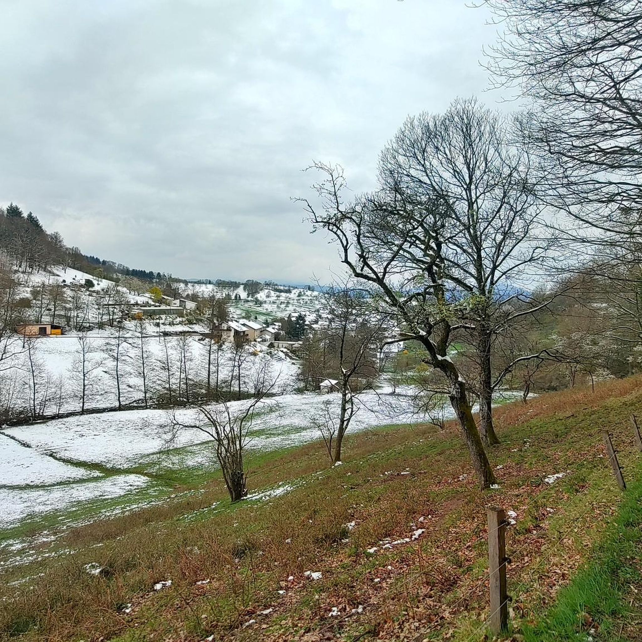
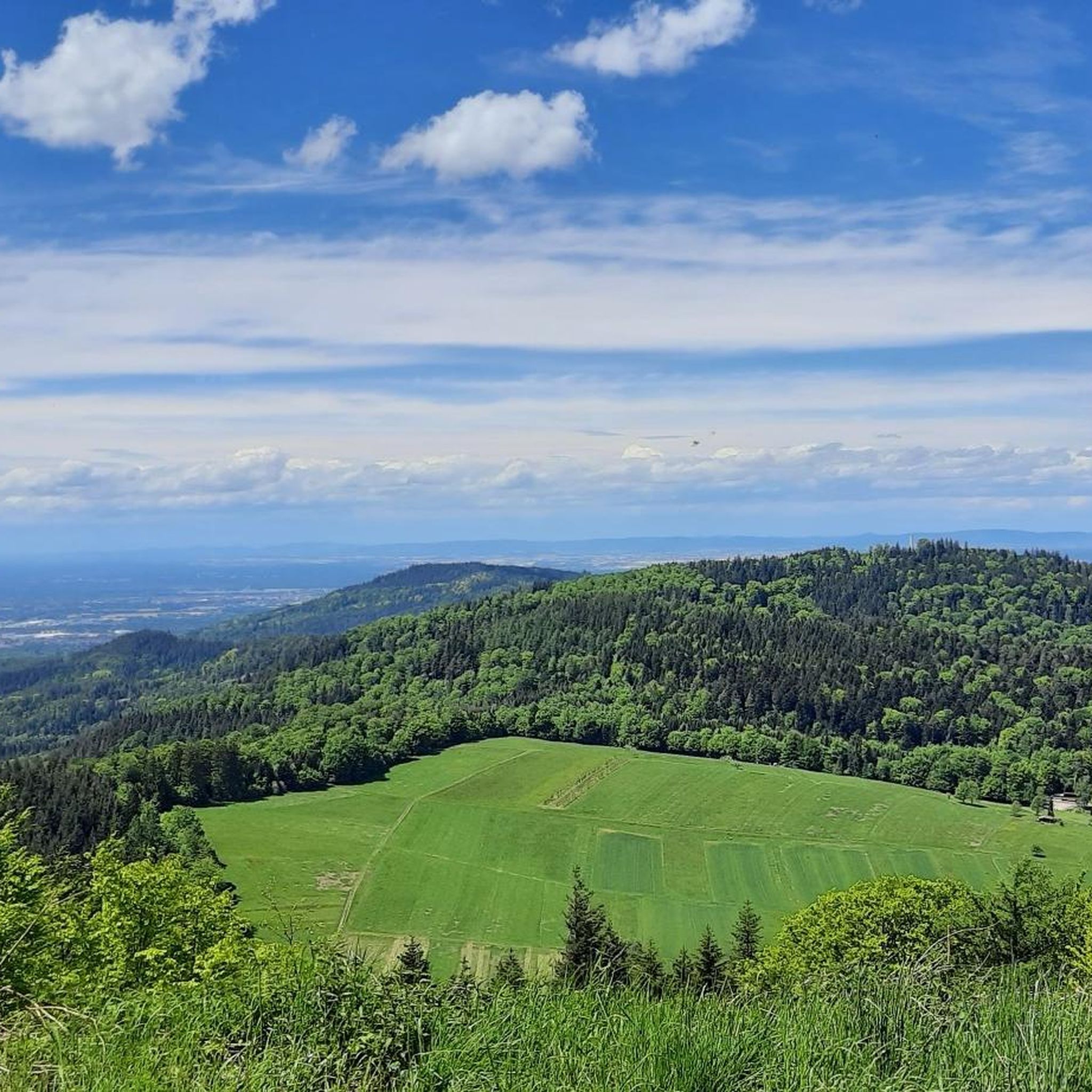
Small spring with a seating area right next to it, from where there is also a good view of the Rhine plain.
3
0
The Karl-Schwarz-Brunnen was donated in 1910 by one of the founders of the Karlsruher Schwarzwaldverein and is located shortly after the source of the Michelbach. Next to the fountain, there is also an information board about its creation.
3
0
Below this spot, an aircraft crashed on November 1, 1945, shortly after the end of the war. In the most severe air disaster ever to occur in our region, 26 American military personnel lost their lives. The aircraft was a Douglas C-47 (DC3) transport aircraft in its military version. It was put into service a year earlier and participated in "D-Day", the Normandy invasion, as a paratrooper transport. It had space for up to 32 people and was also known as a "raisin bomber" during the Berlin Airlift. On the day of the accident, 4 crew members and 26 U.S. Air Force soldiers were on board. They had been on vacation in London and were supposed to return to their units at the Oberschleißheim Air Force Base near Munich. Despite bad weather over the mainland, the 23-year-old pilot and his 22-year-old navigator decided to fly. Shortly after takeoff, the pilot had to climb above the cloud cover due to dense cloudiness and continue the flight using instruments. According to the navigator's calculations, a point near Augsburg should have been reached after 3 hours of flight, where the pilot could descend below the cloud cover and begin the approach using visual orientation. Due to strong headwinds, the calculated position was missed by more than 200 km. Consequently, the cloud cover was descended through north of Karlsruhe, and the navigator lost orientation. They followed the Rhine in a southwesterly direction until near Wintersdorf, a 90-degree correction was made to the original course towards Munich. The DC3 thus steered directly towards the 693-meter-high Bernstein. The pilot and navigator continued to try to determine the correct position from low altitude, which became increasingly difficult due to the approaching fog. Despite the dense fog, the silhouette of the aircraft was recognizable when flying over Michelbach. Around 4:30 PM, the aircraft crashed at an altitude of 620 meters, where it broke into several pieces and went up in flames after explosions. Many victims died because help arrived too late. That help arrived at all four hours after the accident is thanks to three survivors who, despite severe injuries, made their way to Sulzbach and Bernbach. Until now, only rumors had surrounded this event, and it eventually fell into oblivion.
5
0
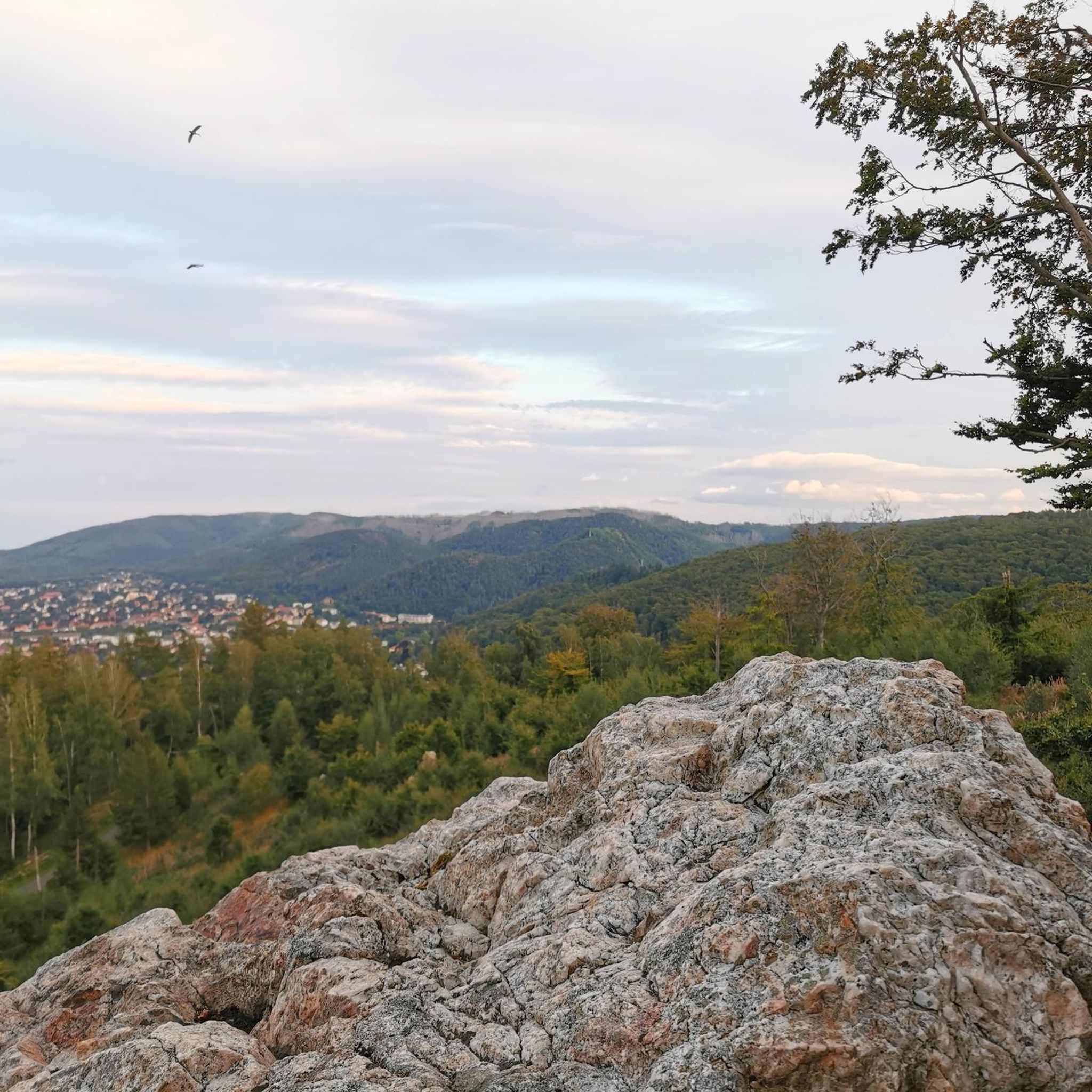
Hiking trail over some stones and roots as a connecting path to and from the Bernstein Felsen.
4
0
Historical boundary stone between the Kingdom of Württemberg and the Grand Duchy of Baden on the way to the Bernstein Felsen.
4
0
Right well-walkable hiking trail over some stones and roots as a direct connection to the Bernstein Felsen.
3
0
Frequently Asked Questions
How many hiking trails are available in Michelbachtal (Lsg)?
Michelbachtal (Lsg) offers a wide selection of routes, with over 1500 hiking trails to explore. These range from easy strolls to more challenging ascents, ensuring options for all fitness levels.
What kind of terrain can I expect on hikes in Michelbachtal (Lsg)?
The region features diverse and scenic landscapes, including tranquil woodlands, varied forest paths, and open areas with panoramic views. You'll find paths that are easily walkable, as well as routes with moderate ascents and descents, such as the Bernstein Hut (654 m) – Trail to Bernsteinfels loop from Naturdenkmal Bernsteinfels.
Are there easy hiking options suitable for beginners or casual walkers?
Yes, Michelbachtal (Lsg) has over 750 easy routes. A great option for a relaxed walk is the Watermill in Michelbach – Michelbach Historic Wine Trail loop from Michelbach, which is an easy 6.9 km loop suitable for all fitness levels.
What are some notable landmarks or viewpoints to discover while hiking?
Hikers can enjoy impressive panoramic views into the Murgtal from the Bernsteinfels. Other points of interest include the Mauzenstein Sandstone Rock, the historic Wassermühle (watermill), and the charming Tannenwald Hut, perfect for a break.
Are there any historical trails in the Michelbachtal (Lsg) region?
Yes, the Historic Border Trail Between Württemberg and Baden is a significant route. It's marked by numerous border stones and features 25 informational panels detailing the landscape and history of the area, offering both shorter and longer variations.
Are there family-friendly hiking trails in Michelbachtal (Lsg)?
Many trails are suitable for families. For instance, the Neubuch Alpaca Enclosure – Watermill in Michelbach loop from Michelbach is an easy 7.1 km loop that features an alpaca enclosure along its course, which is often a hit with children.
Can I bring my dog on the hiking trails in Michelbachtal (Lsg)?
Most trails in Michelbachtal (Lsg) are dog-friendly, offering plenty of natural spaces for you and your canine companion to enjoy. It's always recommended to keep dogs on a leash, especially in nature reserves or near wildlife, and to respect local signage.
Are there circular walks available in the area?
Yes, Michelbachtal (Lsg) features many circular routes, making it convenient to start and end your hike at the same point. Examples include the easy Watermill in Michelbach – Michelbach Historic Wine Trail loop from Michelbach and the moderate Trail to Bernsteinfels – Bernstein Hut (654 m) loop from Naturdenkmal Bernsteinfels.
What do other hikers enjoy the most about hiking in Michelbachtal (Lsg)?
The area is highly rated by the komoot community, with an average score of 4.6 stars from over 17,000 reviews. Reviewers often praise the diverse landscapes, the tranquility of nature, and the well-maintained paths that cater to various skill levels.
When is the best time of year to go hiking in Michelbachtal (Lsg)?
Michelbachtal (Lsg) is appealing for hiking throughout much of the year. Spring brings blooming flora, summer offers lush green scenery, and autumn transforms the forests with vibrant colors. While winter hikes are possible, some paths might be slippery or require appropriate gear depending on snow and ice conditions.
Are there places to eat or drink near the hiking trails?
Yes, you'll find options for refreshments. The Tannenwald Hut and the Hilsberg Hut are popular spots for a break directly on or near some trails. Additionally, the nearby towns and villages offer various cafes and pubs.
Is there public transport available to reach the hiking areas?
Public transport options are available to reach the Michelbachtal (Lsg) region. It's advisable to check local bus schedules and connections from larger towns in the Landkreis Rastatt area to find the most convenient access points for your chosen hiking trail.
Where can I find parking for hiking in Michelbachtal (Lsg)?
Designated parking areas are typically available at common trailheads and popular starting points for hikes, such as near the 'Gumbe' recreational area in Michelbach. It's recommended to check specific route descriptions for detailed parking information.
Most popular routes in Michelbachtal (Lsg)
Most popular attractions in Michelbachtal (Lsg)

Get inspired with the komoot mobile app


Explore more
Browse the best Hikes in other regions.
